
Sacramento River Bend Recreation Area in Tehama County has long been a favorite winter-season hiking spot for us. No matter how often we visit, we always anticipate seeing something new to marvel at.
Anticipation increases the closer it gets to spring, as we know we will encounter first-of-the-season early bloomers. With less than two weeks to go before the vernal equinox, it was with more than a little excitement that we set out on Yana Trail, from Jellys Ferry Trailhead, on this windy, gray, cold day.
And sure enough, in the three miles between the trailhead and Inks Creek, we counted 42 pre-spring bloomers, getting a jump on the pollination season! No flushes or carpets of color quite yet—that is still to come—but definitely enough density and diversity to keep smiles on our faces the entire way. Funny how wildflowers equate with happiness!
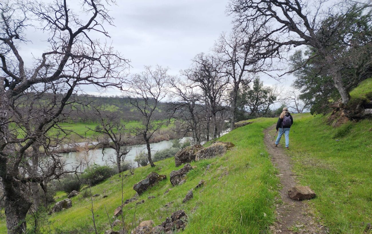
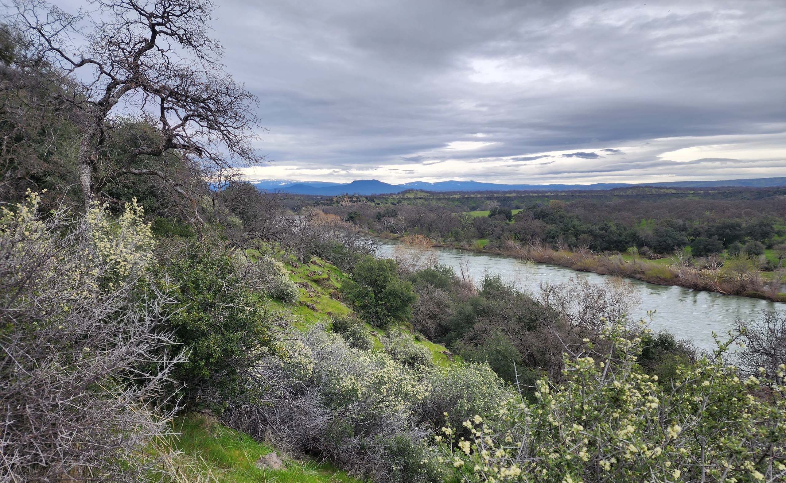
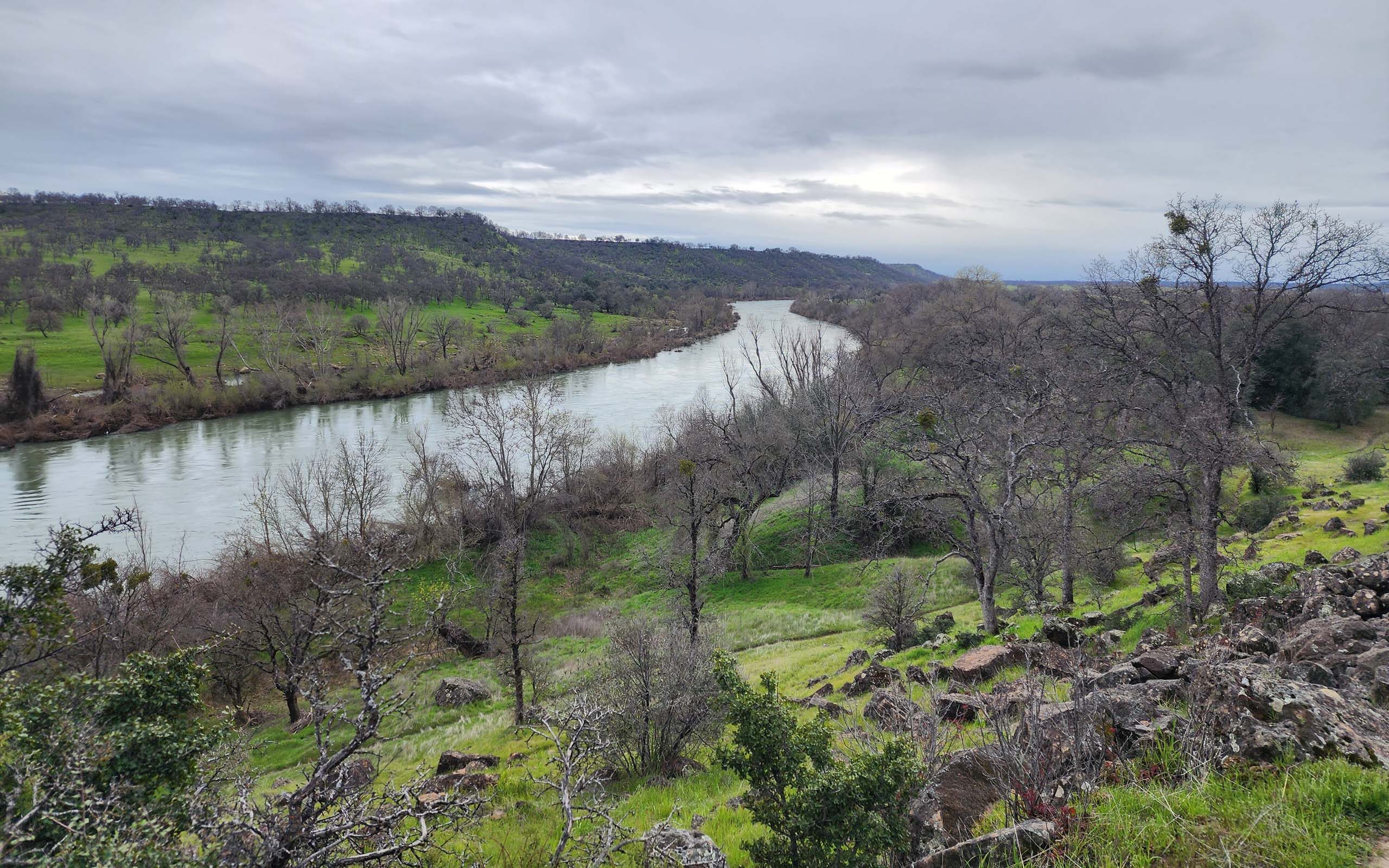
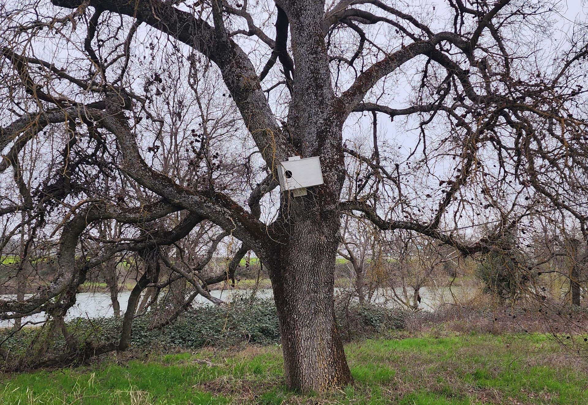
Jellys Ferry Trailhead marks the northwestern-most terminus of the Yana Trail. The first ~1.25-mile section follows the Sacramento River, mostly atop a berm or levee in riparian habitat, so that the river is often visible to the south. To the north, restoration efforts are in various stages of progress. Eventually the trail veers north to cross Oak Slough, connecting with the Oak Slough Trail just beyond (please see Chris Harvey’s excellent article, Oak Slough Trailhead, Fall 2020).
From here, one can opt to follow Yana Trail, or take the short Fisherman’s Trail bypass, rejoining Yana Trail in ~0.5 mile, and reaching Inks Creek 3 miles from the trailhead. We always like to check out both sections of trail, so we took Fisherman’s Trail in, and Yana Trail all the way out.
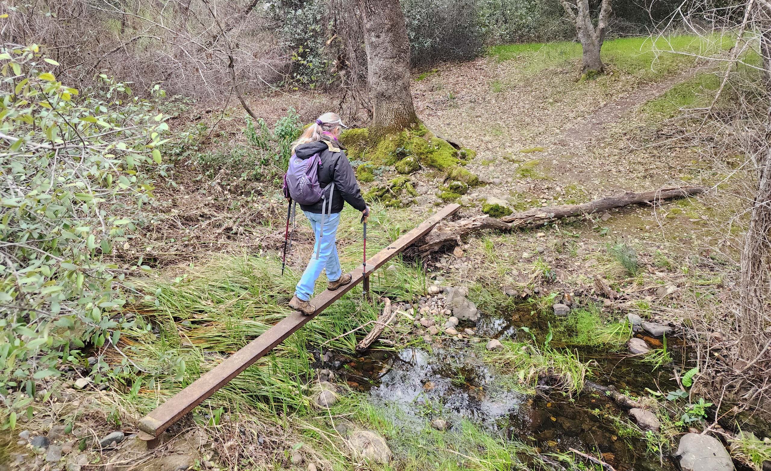
Had Inks Creek been easily fordable, we may very well have been tempted to hike an extra half mile or so to the next small creek where we have seen dozens if not hundreds of fawn lilies in bloom. We’d seen a couple flowers on our drive in, so we knew they’d be blooming, but Inks Creeks was too full to cross without a lot of work, so we sat on the bank and had lunch before turning back.
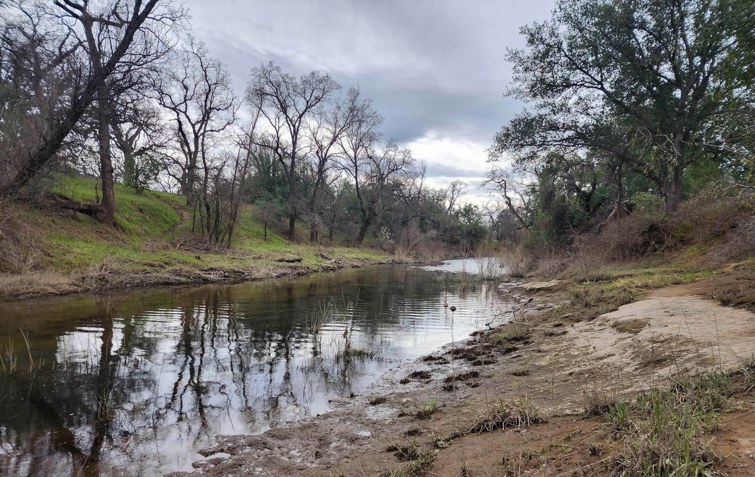
Photo taken March 10, 2024, by Don Burk.
Besides the many blooming species we found, we were also delighted to find Jellys Ferry Trailhead much improved. The years-long bridge replacement project is now complete, and a massive, state-of-the-art monster now crosses the Sacramento River upstream from where an ancient and rickety two-laner once provided white-knuckle passage. The realignment of the road shifted the trailhead to the east side of Jellys Ferry Road, where there can now be found toilets, picnic benches under covers, barbecues, a huge turnaround, and easy boat access.
Plan a hike along the Yana Trail sometime soon! Most people think of the Yana Trail as the 9-mile section between Jellys Ferry Road’s trailheads (Oak Slough Trailhead and Jellys Ferry Trailhead) and the trailhead at the end of Bend Ferry Road, called Perry’s Riffle Trailhead. In actuality, Yana Trail continues south from Perry’s Riffle Trailhead for another ~2 miles, and can be accessed via Bass Pond and Coyote Pond trailheads. Bureau of Land Management has a very good Map & Guide of their Sacramento River Bend Recreation Area, available online and very often in hard copy at the trailheads.
Here is a slideshow of some of the early bloomers and things of interest that we saw on this hike. All photos by Don Burk. Enjoy! ~Laurie & Don Burk


