
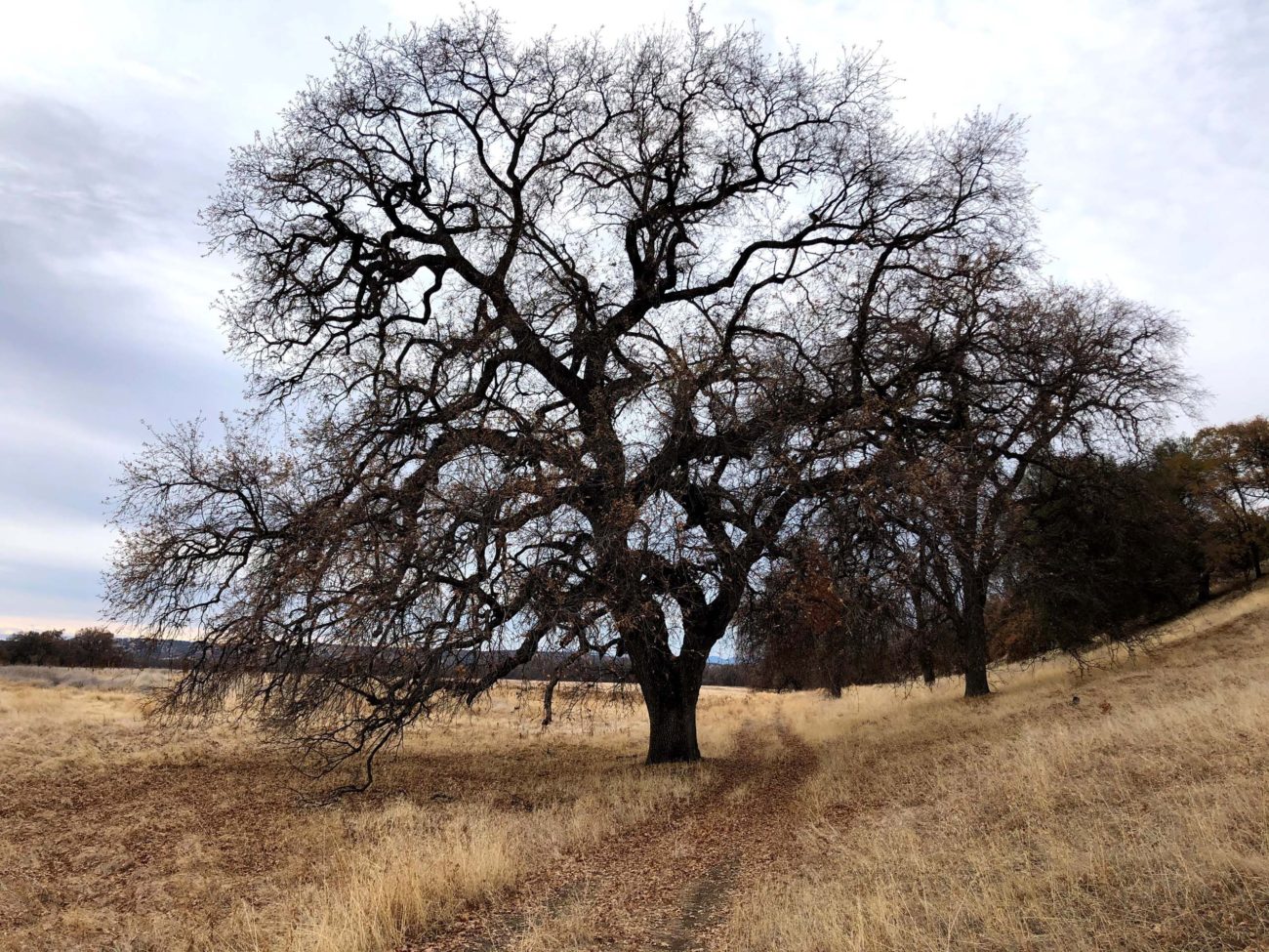
Over the past two months, I’ve hiked the Oak Slough Trail on four separate occasions. Aptly named, this trail winds its way through magnificent valley oaks, as well as some of the biggest blue oaks I’ve ever seen. There are plenty of interior live oaks, too.
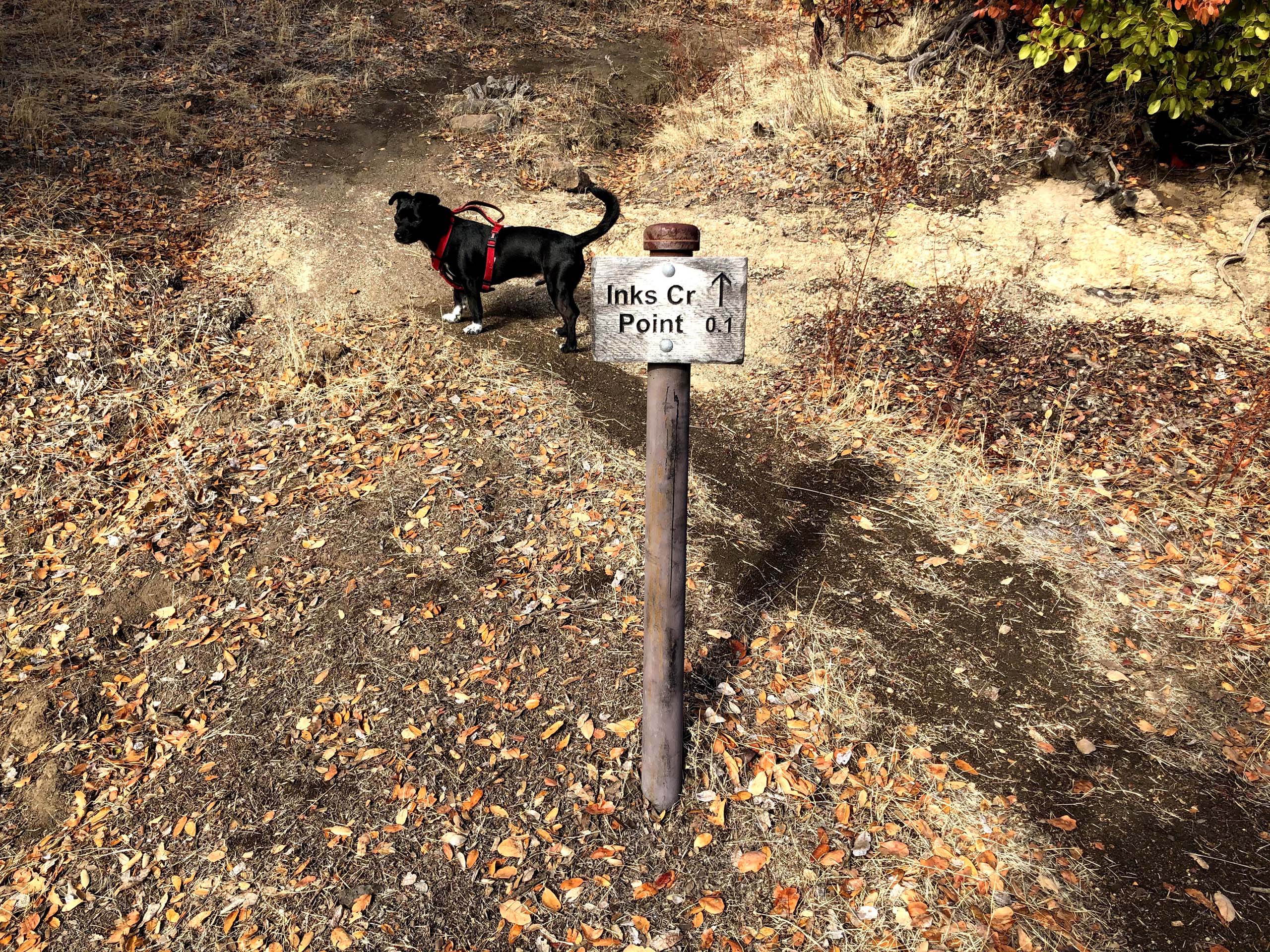
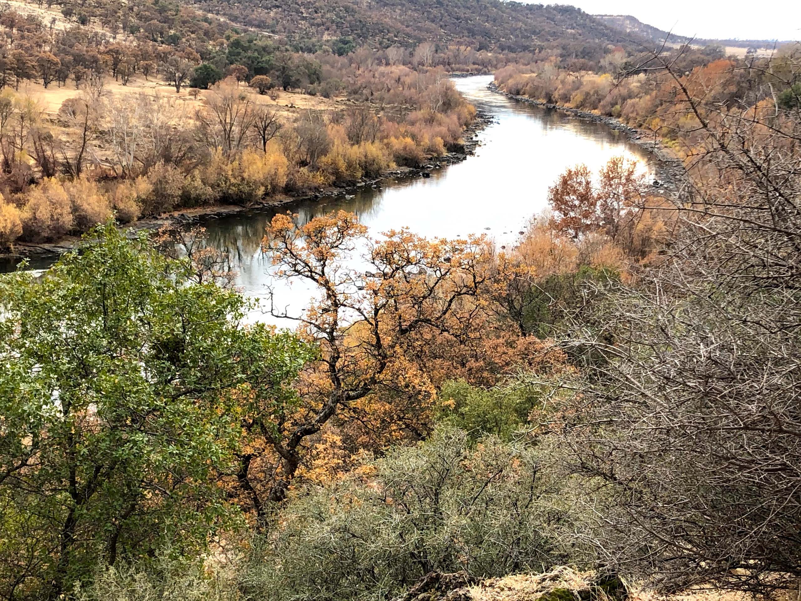
The trail gently climbs to the east and intersects the Yana Trail at about the 1.5-mile mark. Continue walking east on the Yana Trail. Along the way there are panoramic vistas of Mt. Lassen and the Sacramento River. About 1.75 miles in, take a short detour and climb 0.1 mile to Inks Creek Point to see spectacular views of the valley and its river.
December 12, 2020. Photo by Chris Harvey.
Returning to the main trail, continue to walk for another ~0.75 of a mile to arrive at the banks of Inks Creek. It’s a nice spot to enjoy a sandwich while sitting next to the small creek. When the creek is low, it is easy to rock hop or wade across and continue walking the Yana Trail for many more miles. As for me, I usually turn around and head back, which makes for a nice hike of just over five miles.
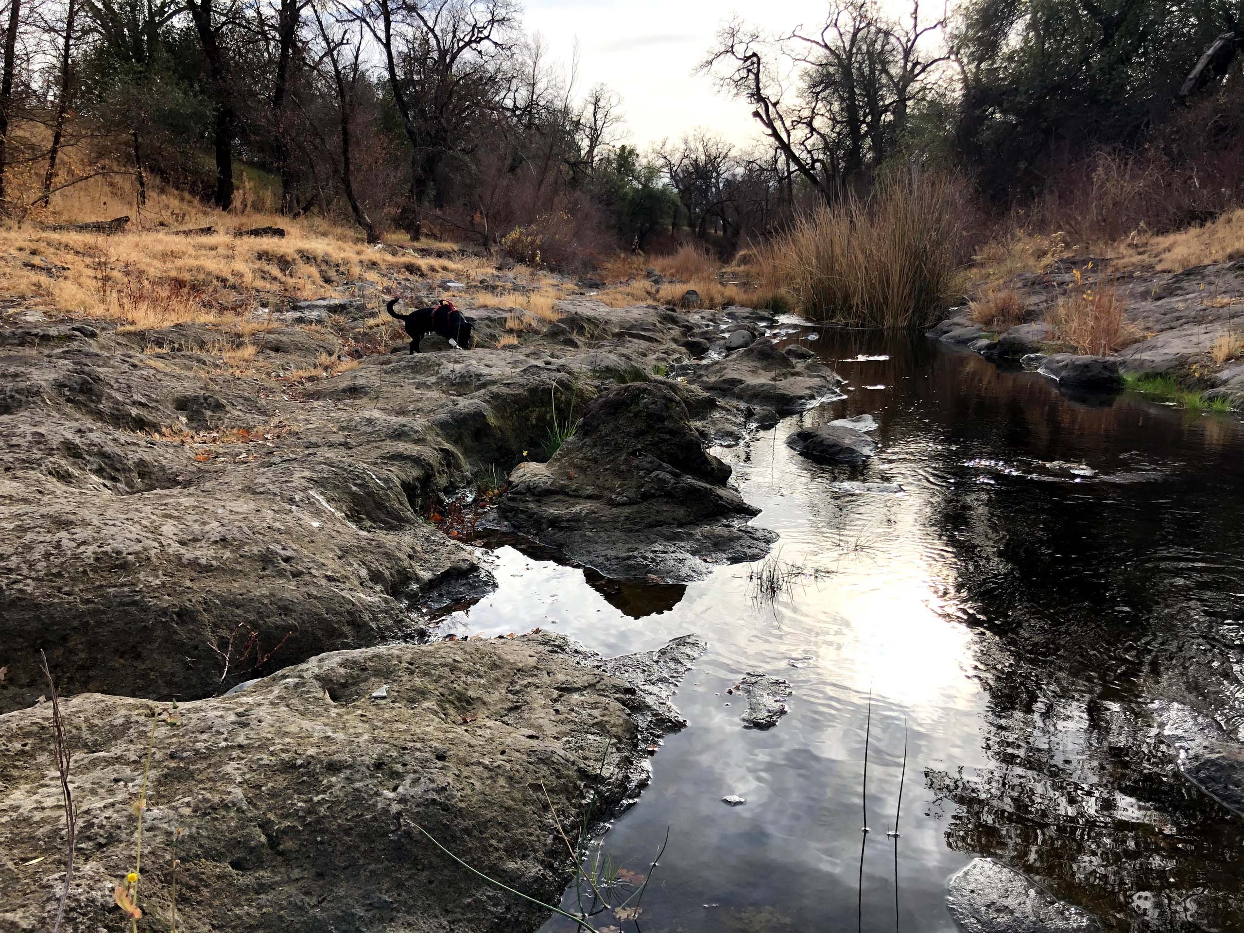
Photo by Chris Harvey.
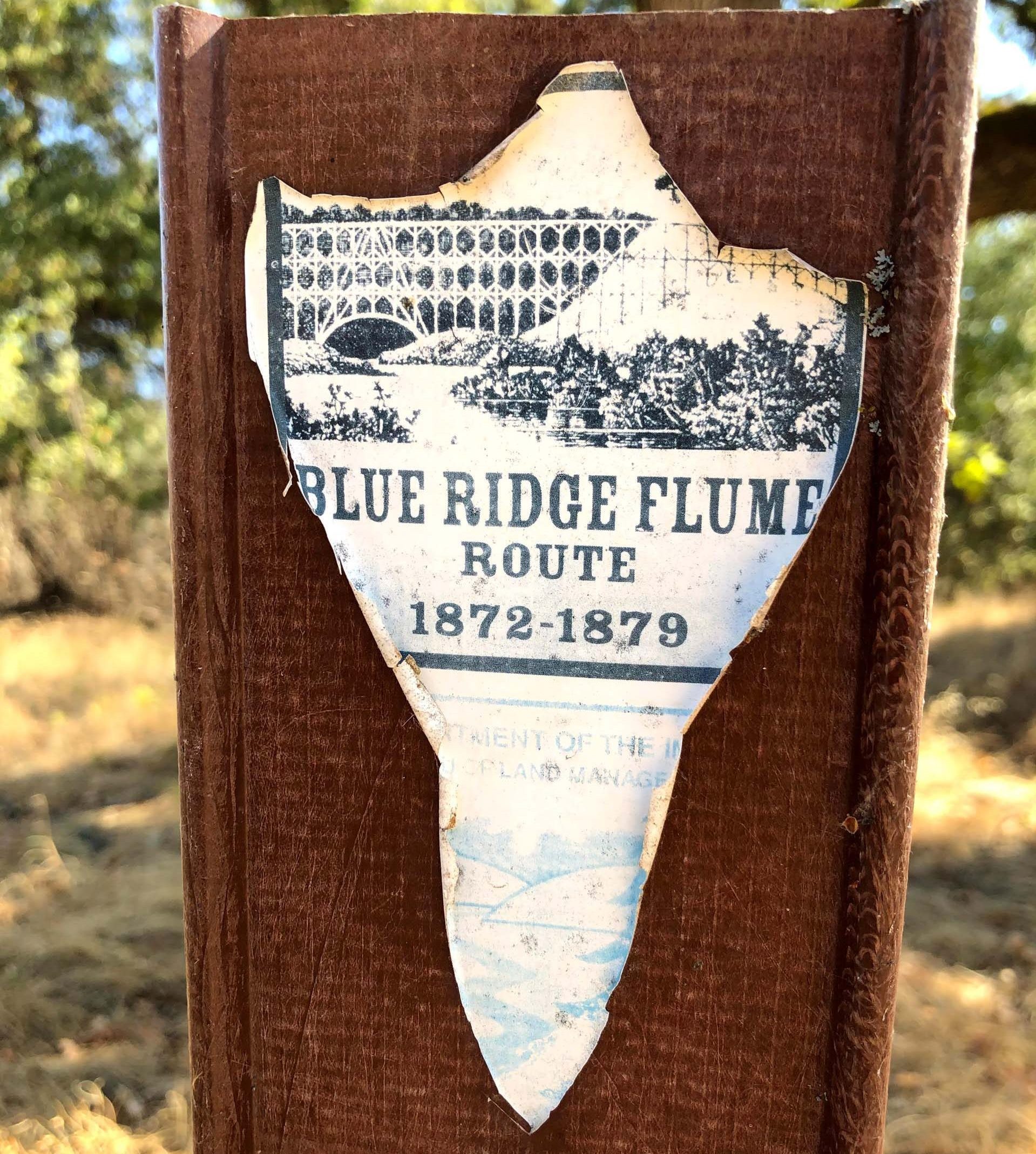
Of historical interest, the original terminus of the 42-mile-long Blue Ridge Flume was located at the mouth of Inks Creek on the Sacramento River. Built in 1872, this marvel of engineering and construction stood over 150 feet in height in some areas. The flume brought rough-cut lumber from mills in the forests located near Shingletown. Before the flume was extended to the town of Red Bluff, the lumber was either floated down the Sacramento River or taken by wagon to Red Bluff where it was resawn before being shipped by rail to points far and wide. Blue Ridge Flume was abandoned after only four years of service, and settlers looking for building material gradually dismantled the entire structure.
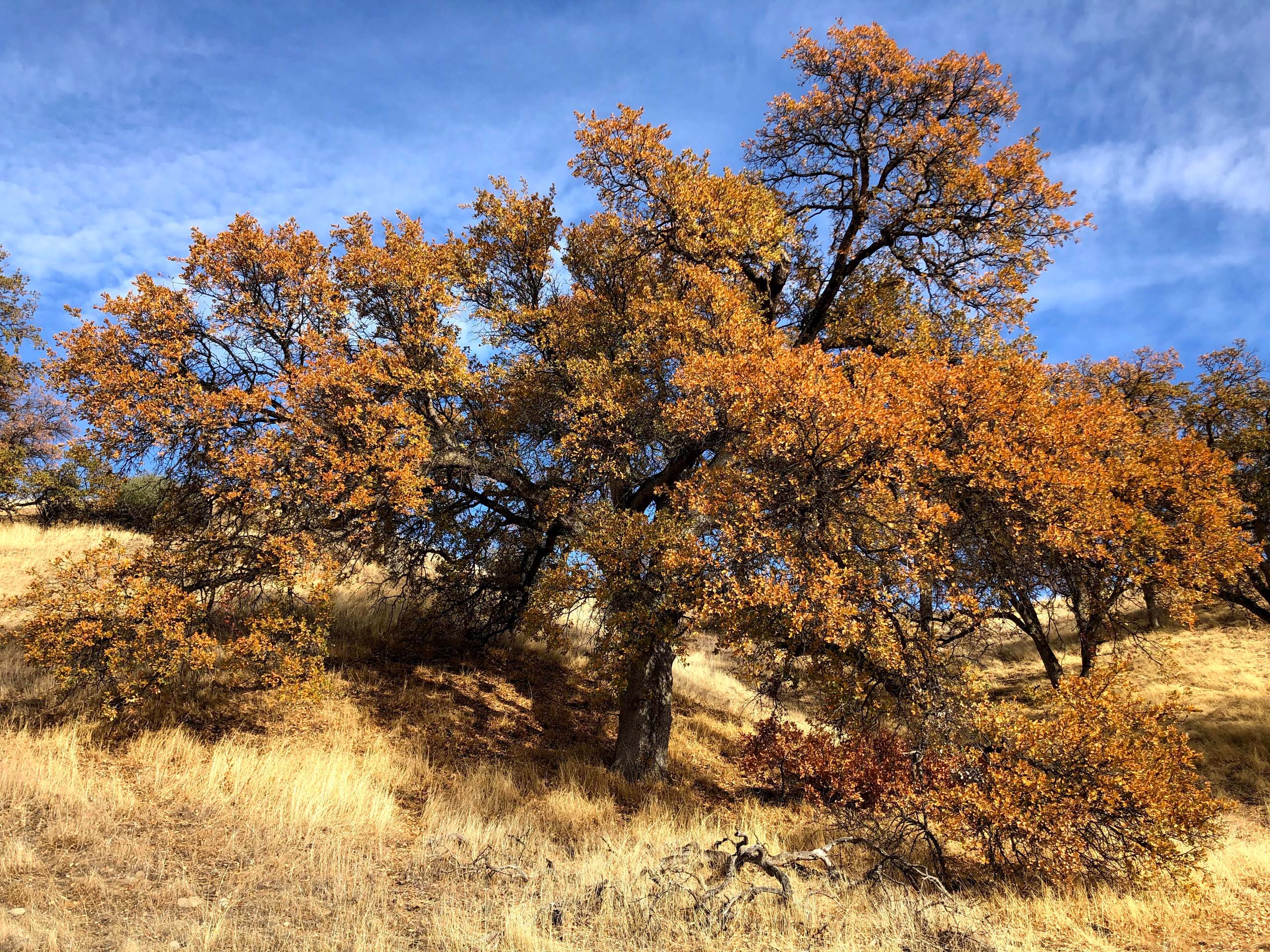
Flowers seen in bloom on October 31 on this trail included jimsonweed and white horse-nettle (both were also in fruit), as well as chicory and vinegar weed. Retracing my steps on December 12, not a bloom was in sight.
However, there were other attractions: acorn-studded tree trunks, burgundy-colored berries on common manzanita shrubs, rocks and ledges covered in green mosses (thanks to recent rain showers), pink-colored galls attached to leaves of blue oaks, and snow-covered Mt. Lassen on the eastern horizon. No matter the season, the outdoors always gives us plenty to appreciate!
Oak Slough Trailhead is located on Jelly’s Ferry Road approximately 6.2 miles south of the junction of Coleman Fish Hatchery Road and Gover Road. Except for the steep and rocky climb to Inks Creek Point, this is a fairly easy hike. ~Chris Harvey
The following slideshow features photos taken on the Oak Slough and Yana trails, Sacramento River Bend Recreation Area, during fall 2020 hikes. All photos by Chris Harvey.


