
If East Weaver Creek and Day Ranch trails are any indication, Weaverville’s Weaver Basin Trail System must be spectacular!
Don has hiked some of these trails for work, but this was our first time on these trails just for fun, and we were impressed! We were there to do a botanical survey for a project Don is consulting on, but afterwards we did a quick loop, hiking parts of East Weaver Creek Trail and Day Ranch Trail.
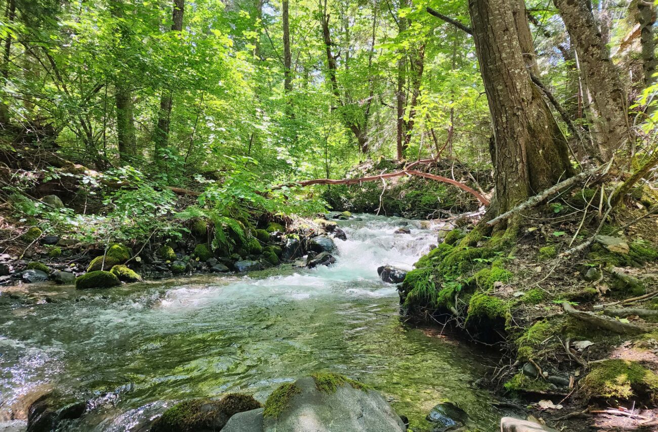
While we started at East Weaver Creek Campground and hiked northwest (upstream), Don’s work took us off trail for ~0.5 miles, into the sliver of land between the trail and the East Weaver Creek Road, so we only hiked a short portion of East Weaver Creek Trail. However, what we did see was lovely: shady and cool, very close to the creek, with many wonderful wildflowers to admire. We lunched right on the creek bank, just downstream of Pole Bridge.
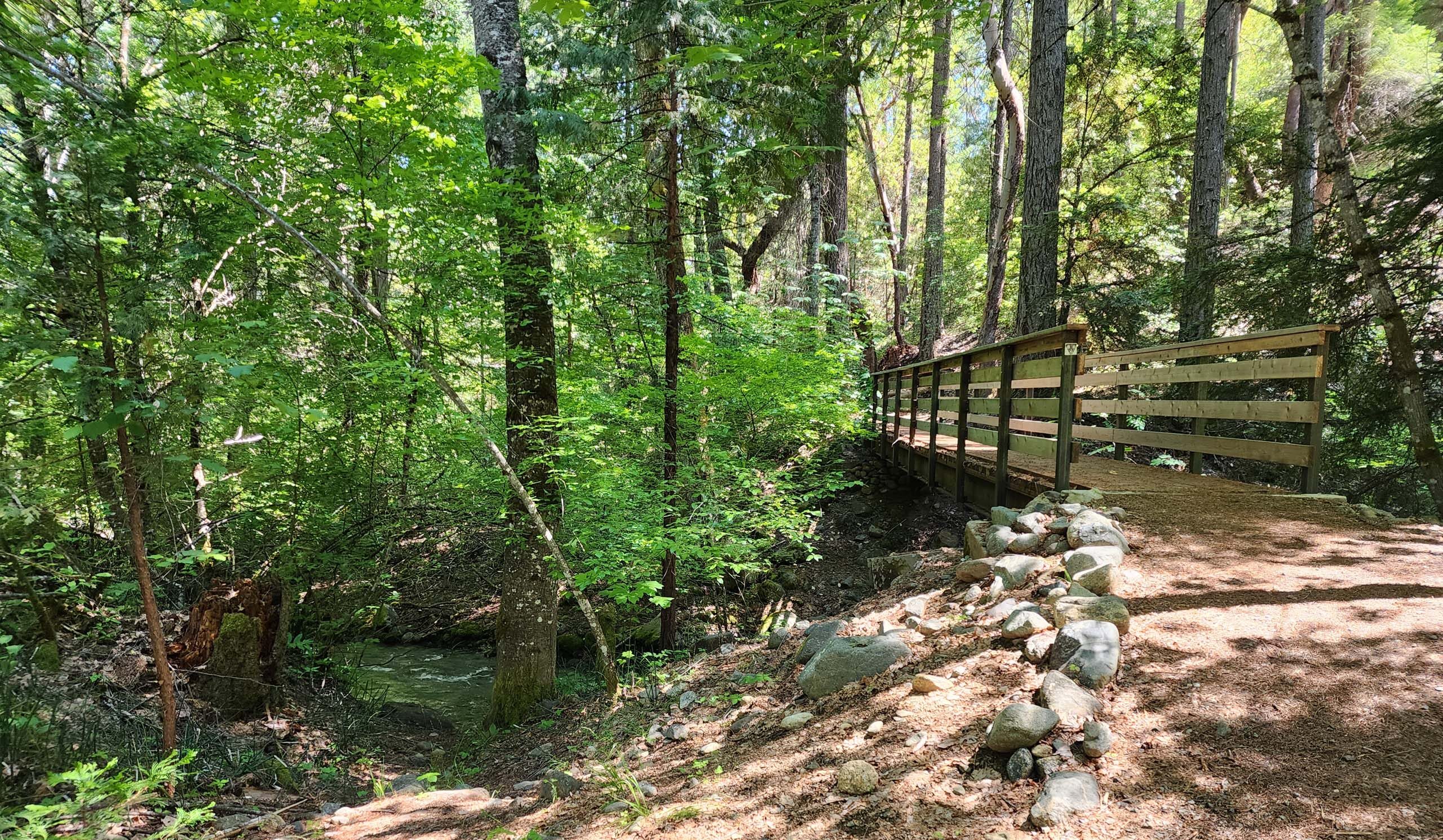
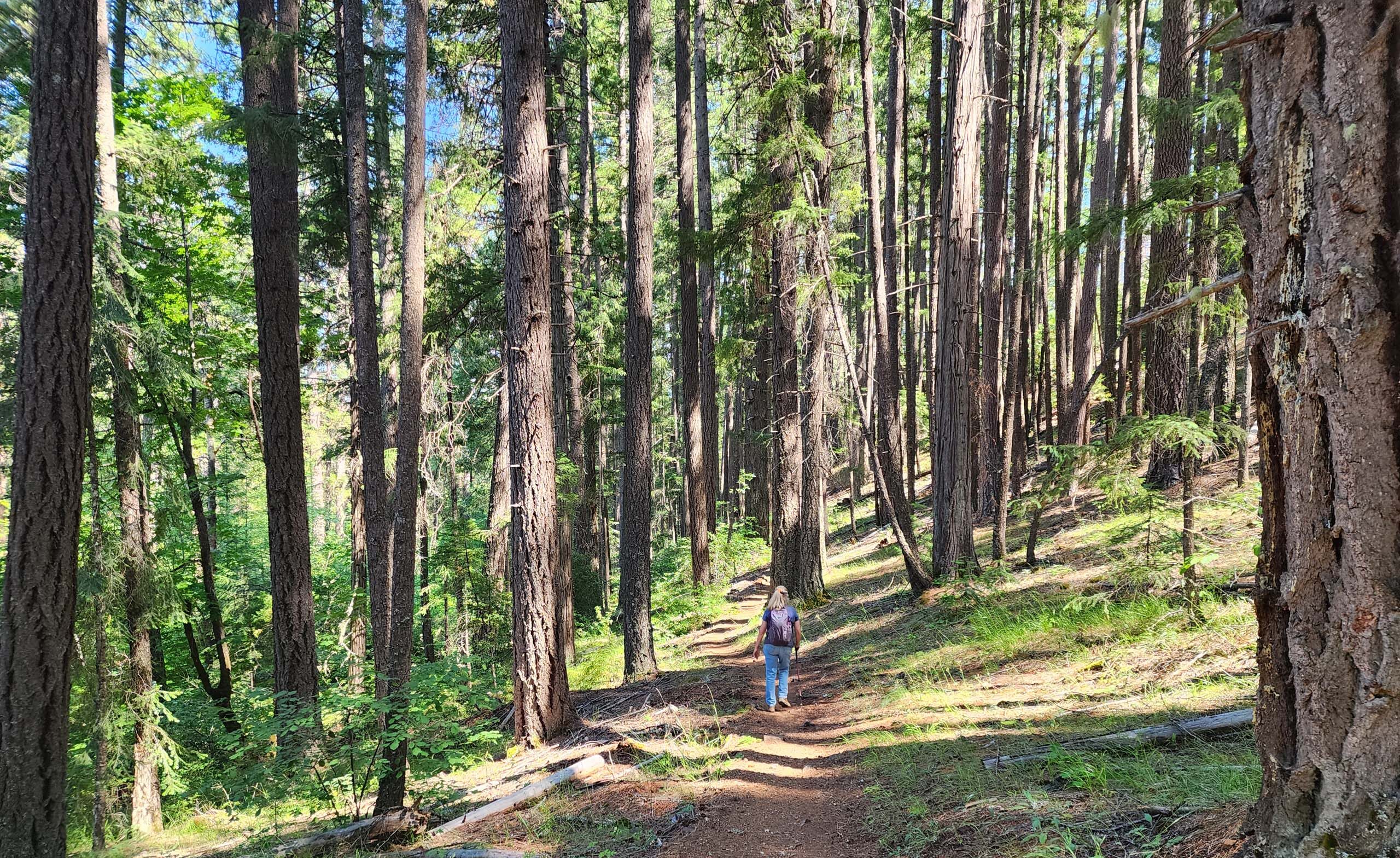
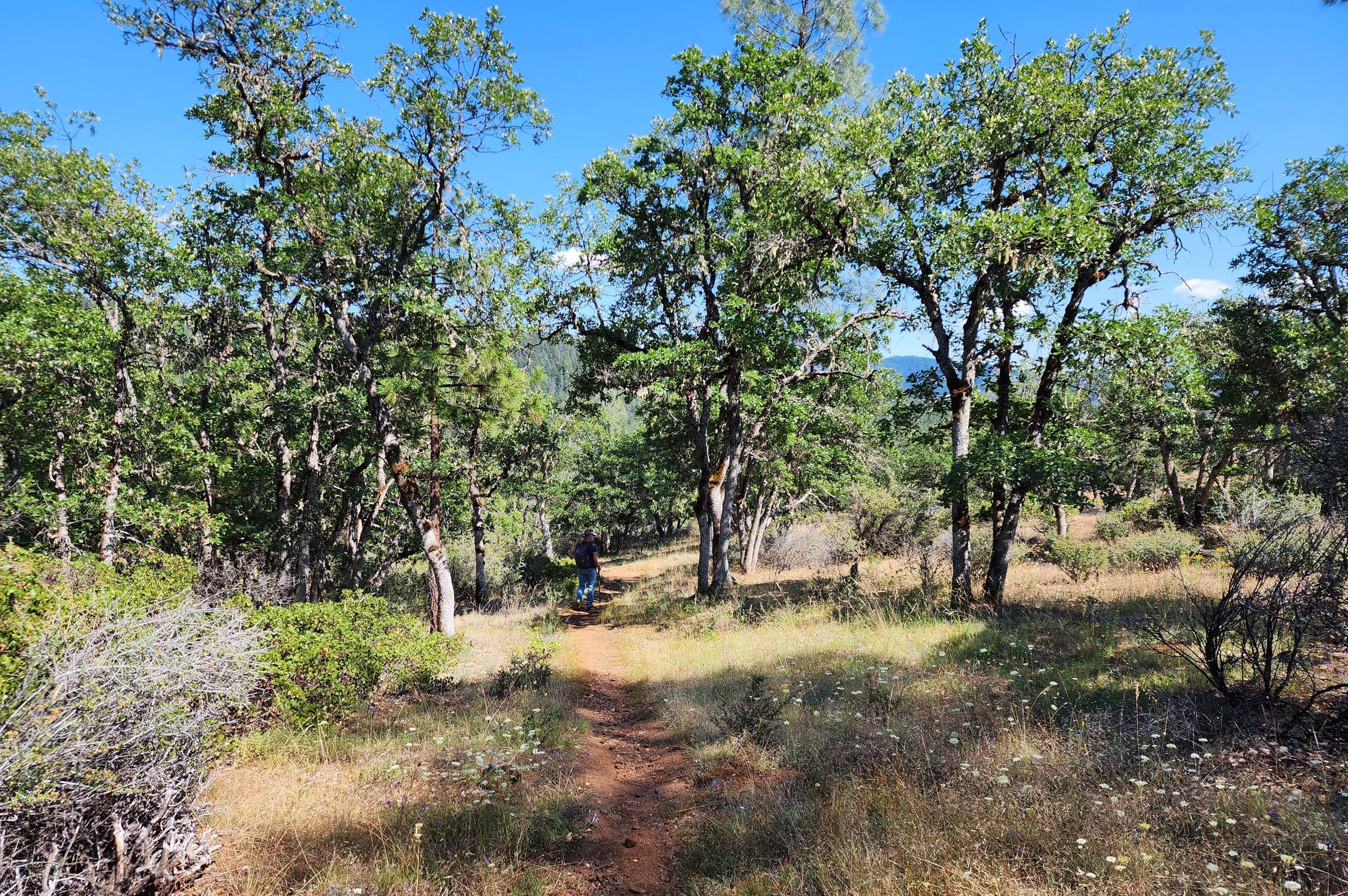
Across the footbridge, we took Day Ranch Trail to follow the creek back downstream. While East Weaver Creek Trail seemed to be relatively flat and hugged the creek bank, Day Ranch Trail is cut higher up on the hillside and has a few inclines to navigate, but mostly not especially steep. Mixed conifer forest gives way to oak woodland after about a mile, and the trail moves away from the creek.
Day Ranch Spur Trail, ~1.2 miles from the footbridge, brought us back to the creek and East Weaver Creek Trail, very near the campground. The signage is not great at trail intersections; we recommend checking a good map before you go. Trinity County Resource Conservation District has a couple good maps to chose from.
Boasting 69 miles of trails, Weaver Basin Trail System will definitely see us again! But perhaps not until fall at this point. The elevation is not that high, so these trails could become uncomfortably warm. Over the ~3 miles that we hiked, we did not get above 3,000 feet. Still, this is a very intriguing area and we look forward to seeing more. In the meantime, we hope you enjoy the following slideshow of some of the treasures we saw. All photos by Don Burk. ~Laurie & Don Burk


