
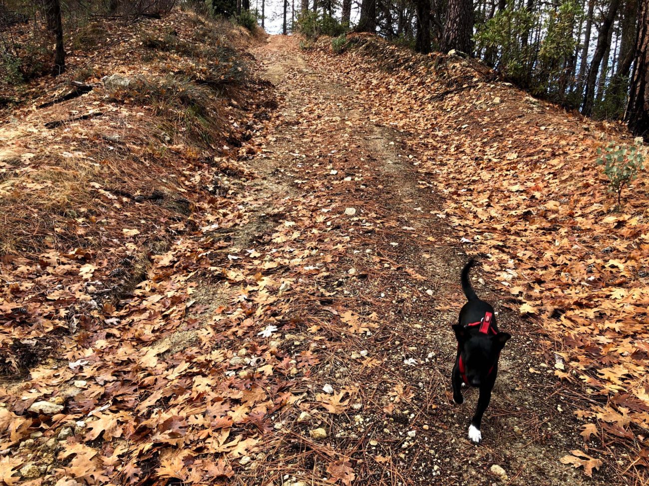
On this particular Sunday, Baxster and I enjoyed a perfect-weather day for hiking one of our most frequented Whiskeytown National Recreation Area trails. This hike is 2.6 miles round trip and, in the words of hiking buddy Bob Madison, is as “steep as a cow’s face.” David Ledger calls this route the Shasta Divide Trail, and, in fact, there is the nearby Shasta Divide Nature Trail, which begins at the south end of the Whiskeytown Visitors Center parking lot and drops down to the lake.
As far as I know, the “trail”—actually a dirt road used by PG&E to inspect powerline towers—that is described in this write-up has no formal name. In honor of Bob’s spot-on description of this steeply inclined route, I propose the name Steep as a Cow’s Face Trail.
Other than the subtly fragrant cudweed, which my daughter says smells like maple syrup, there were no blooms to be seen this time of the year. But there wass plenty to admire and appreciate!

The Carr Fire swept through this area, but not many trees were badly burned. Conifers include numerous ponderosa pines, with fewer knobcone pines, sugar pines, and Douglas-firs. There are many black oaks, as well as canyon live oaks, big-leaved maples, and Pacific dogwoods.
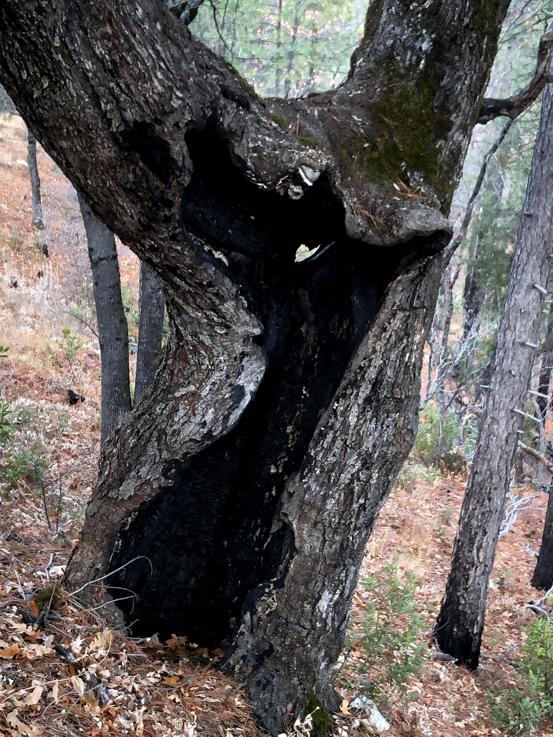
Photo by Chris Harvey.
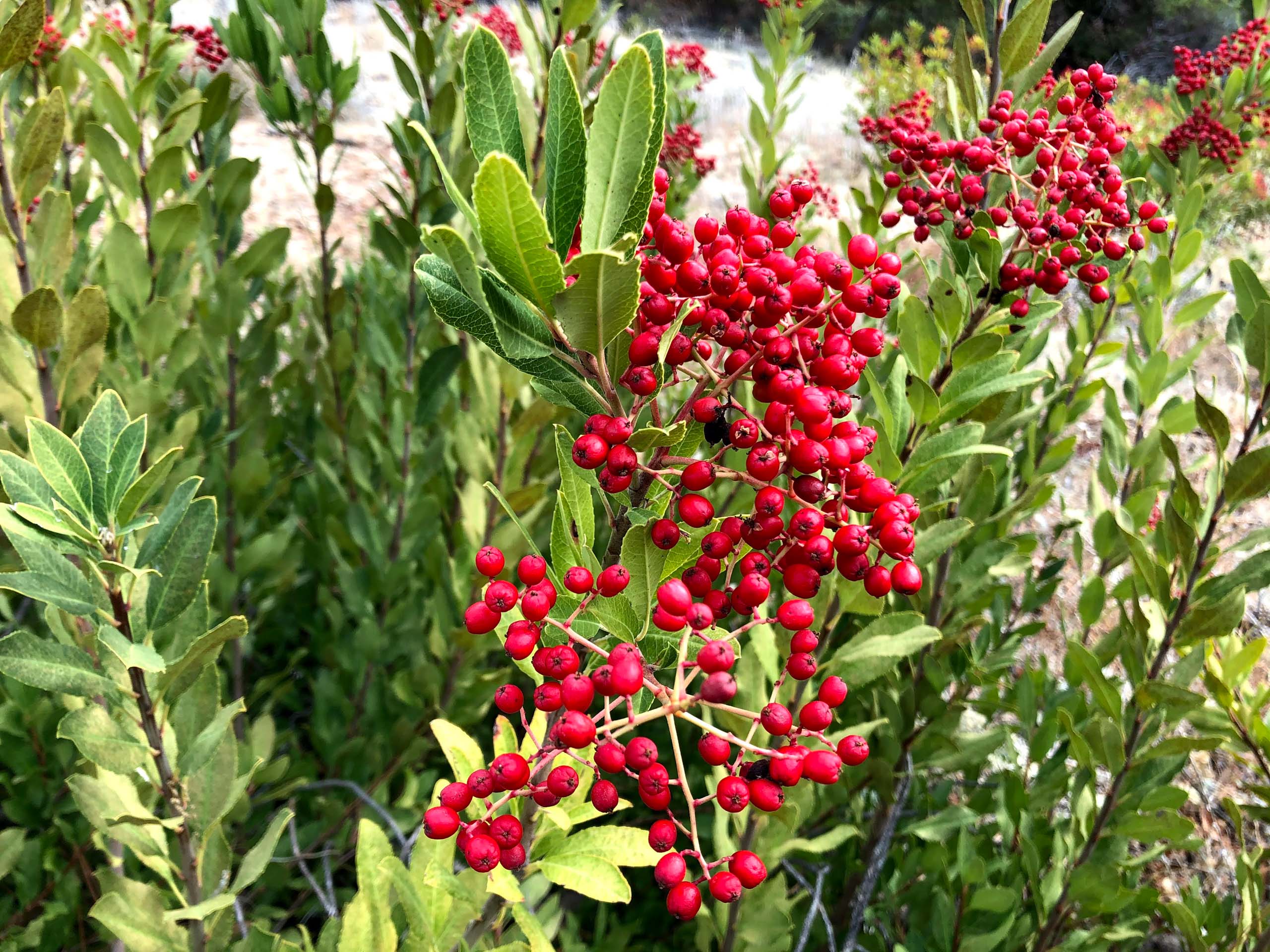
The toyon shrubs (also known as Christmas berry and California holly) were in fruit with bright red berries. Also eye-catching were the pendulous nut-like fruits of the California snowdrop bush.
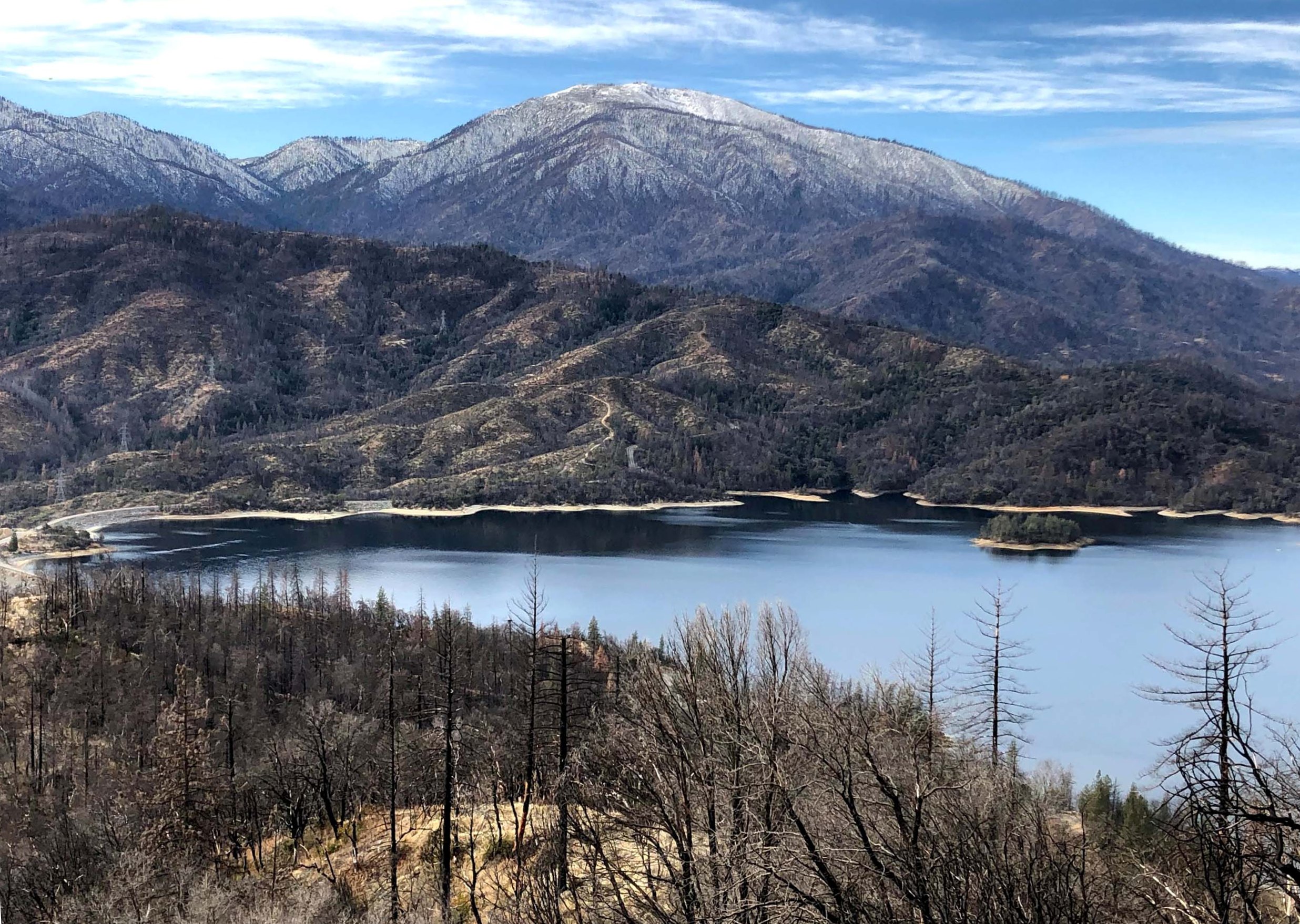
Peaks visible on this hike include Shasta Bally, Mt. Lassen, Mt. Shasta, and the Trinity Alps. At the end of the road, Whiskeytown Lake and its dam, as well as Clear Creek Canyon are visible below.
Park in the Whiskeytown Visitors Center parking lot, and don’t forget to display your pass. Look across John F. Kennedy Drive to find the wooden steps that will take you to the service road that terminates at a powerline tower. The elevation gain is about 600 feet. I would rate this hike as moderately difficult because of several steep sections. Also, footing can be tricky because of the sandy decomposed granite road surface, which also has many loose rocks. ~Chris Harvey
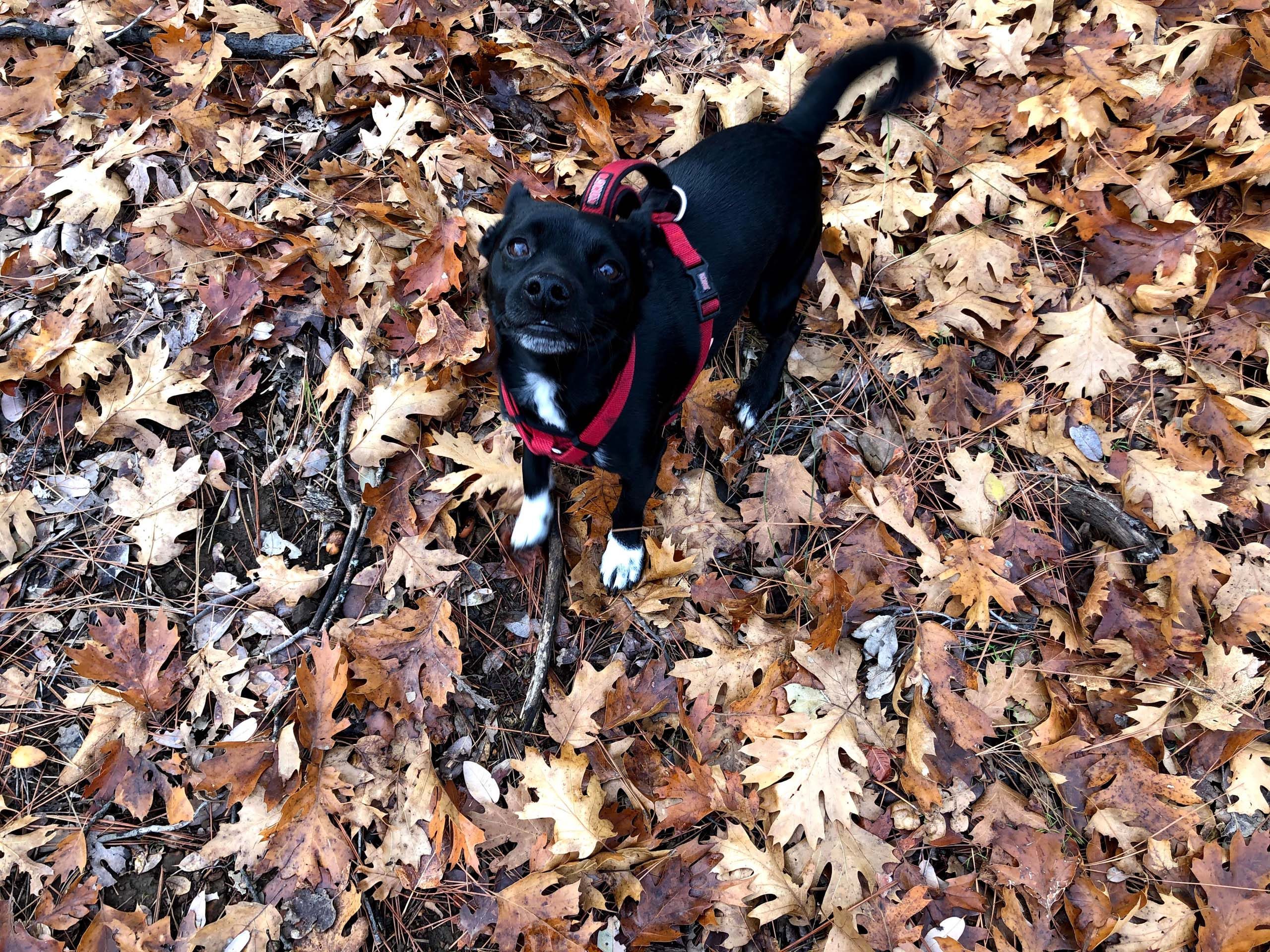
All photos in the following slideshow were taken by Chris Harvey on December 27, 2020, on “Steep as a Cow’s Face Trail,” Whiskeytown National Recreation Area. Enjoy!


