Sacramento River Bend Promontory, December 20, 2020

View from Yanan Trail, NE. D. Burk.
View northeast from the Yana Trail, Sacramento River Bend Recreation Area. Sacramento River running through the center of the photo; Mt. Lassen on the right on the far horizon. Our promontory destination can be made out as the hill in the center of the mid-horizon. December 20, 2020. Photo by Don Burk.

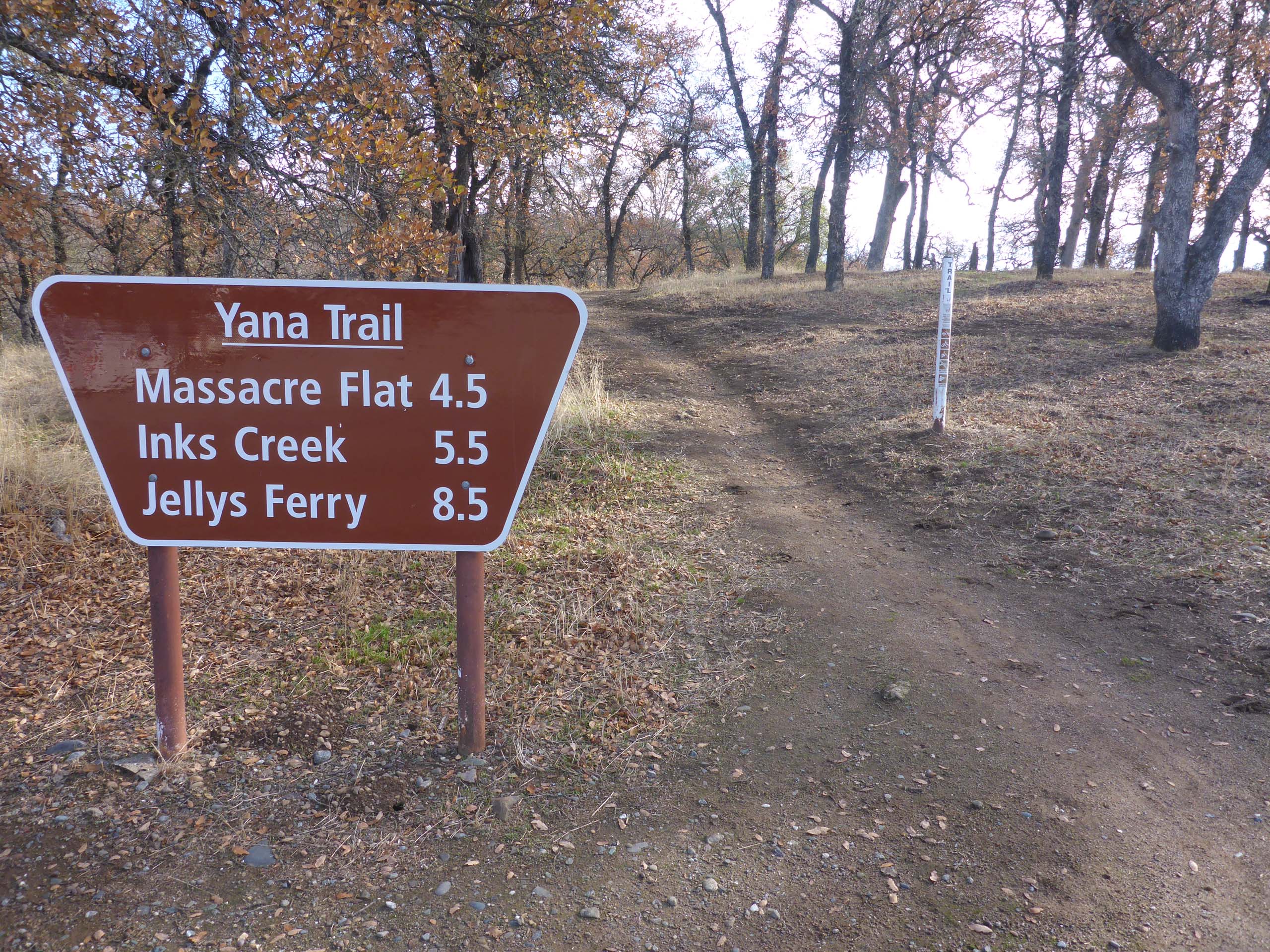
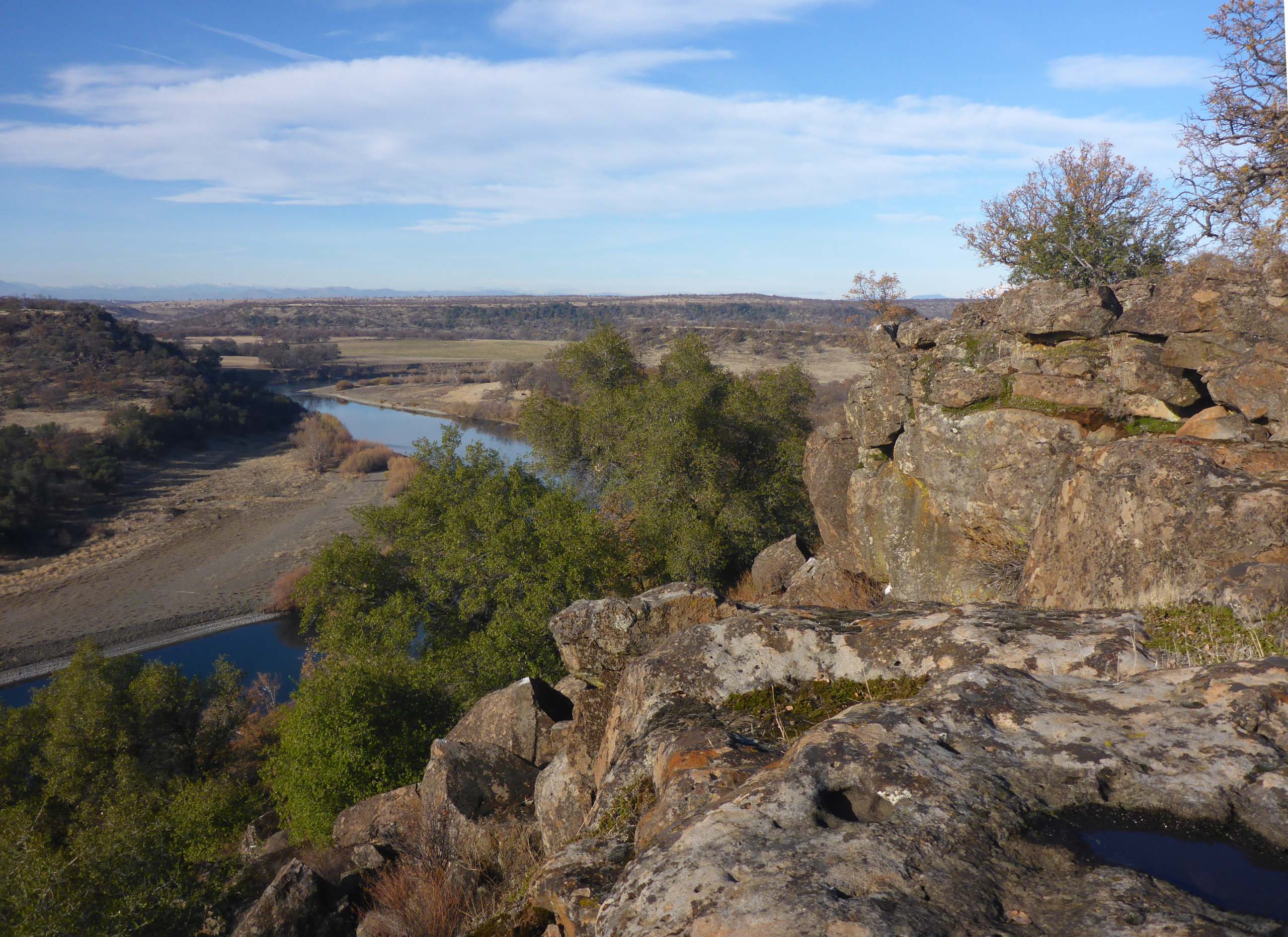
Sunday’s hike began on the Yana Trail at Perry’s Riffle, but the destination was off-trail: a promontory above the Sacramento River, about a mile south of Massacre Flat.

Yana Trail sign. D. Burk.
Sign board at Perry’s Riffle Trailhead. The promontory is about 3 miles from here. Sacramento River Bend Recreation Area. December 20, 2020. Photo by Don Burk.

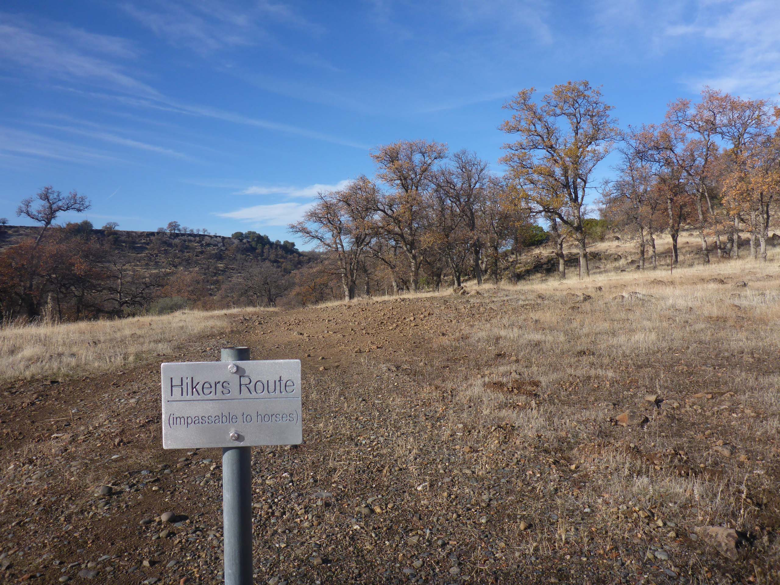
A good deal of our fondness for the Sacramento River Bend Recreation Area is due to the fact that off-trail exploration is not only allowed but encouraged. Hikers will therefore find many unmarked trails leading to unknown adventures and increased solitude. While we have visited this particular point many times, we have never once seen another soul in the vicinity.

Mt. Lassen.  D. Burk.
View of Mt. Lassen from the promontory, an off-trail destination in the Sacramento River Bend Recreation Area. December 20, 2020. Photo by Don Burk.

To get to this special place, go north on the Yana Trail from Perry’s Riffle Trailhead (at the very end of Bend Ferry Road, Bend, Tehama County) for about 2.7 miles to where the trail splits.

The Yana Trail splits into two trails at the foot of the two hills to the right. The promontory is on the higher of the two hills, which is actually the more central hill in the photo. This photo was taken ~0.5 miles south of the Yana Trail split, Sacramento River Bend Recreation Area. December 20, 2020. Photo by Don Burk.

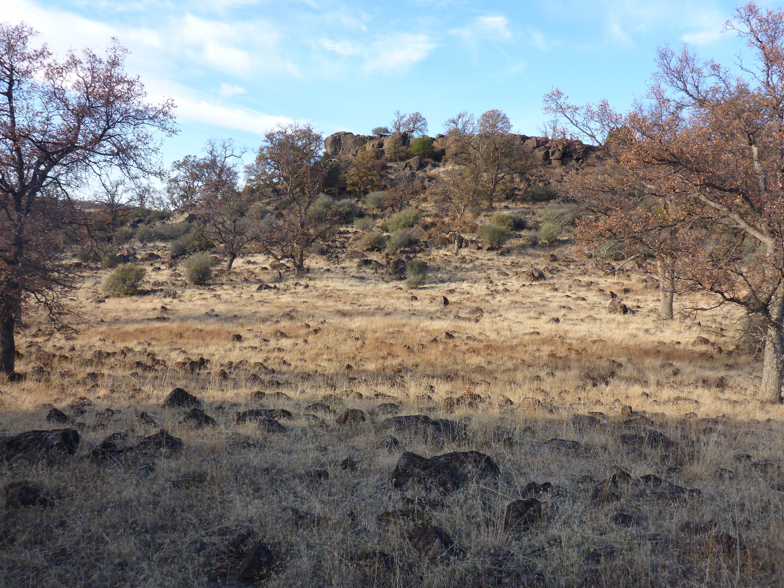
The left-hand trail will take you to Massacre Flat along a riparian route very close to the water’s edge. The right-hand loop will also get you to Massacre Flat, but this route is quite circuitous and is much longer. This longer route facilitates horseback riders, but both trails are highly recommended for hikers. To get to the promontory, however, go through a gate in the fence just to the right of where the trail splits, and hike the abandoned and rutted, unmaintained road that wraps up and around a little hill.

Yana Trail split point. D. Burk.
Looking west from the point at which the Yana Trail splits into two trails. The gate to the abandoned road that leads to the promontory is in the barely visible fence and is easily spotted from here, to the northeast (not shown in this photo). Sacramento River Bend Recreation Area. December 20, 2020. Photo by Don Burk.

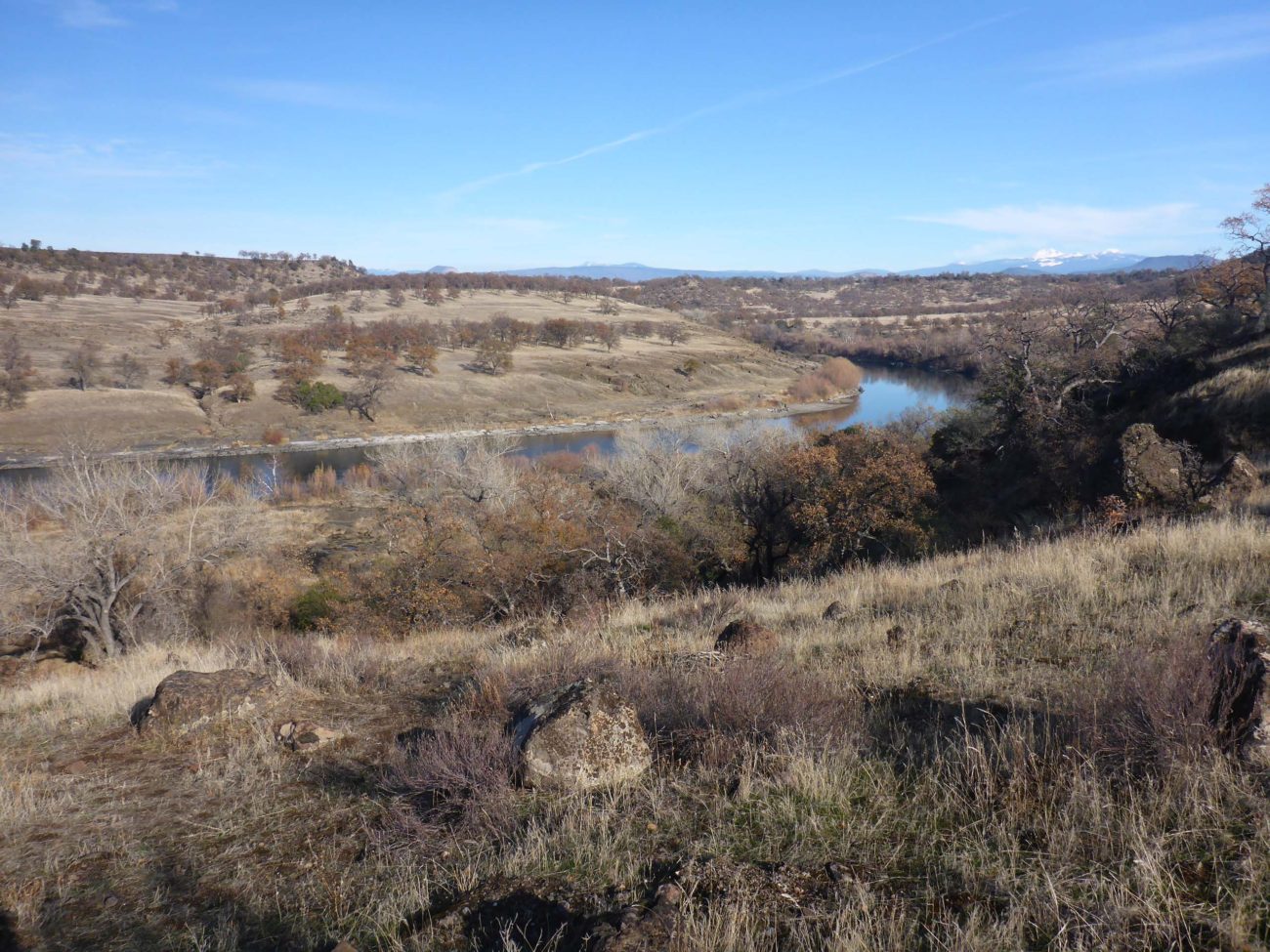
Where this road crests at the back of the hill, you’ll get a great view of the promontory destination.

Promontory. D. Burk.
View of the promontory once you crest the abandoned road that runs behind the eastern hill. It’s pretty much cross-country from here. Sacramento River Bend Recreation Area. December 20, 2020. Photo by Don Burk.

At this point, we generally leave the trail and climb to the promontory wherever we feel it’s not too steep or dangerous. (The farther north you hike, the easier the climb, but the farther away the promontory.)

Climbing up the the promontroy. D. Burk.
Climbing up a steep slope to reach the promontory. There are easier places to get to the top, but they are farther away from the rocky ledge of the promontory. Sacramento River Bend Recreation Area. December 20, 2020. Photo by Don Burk.

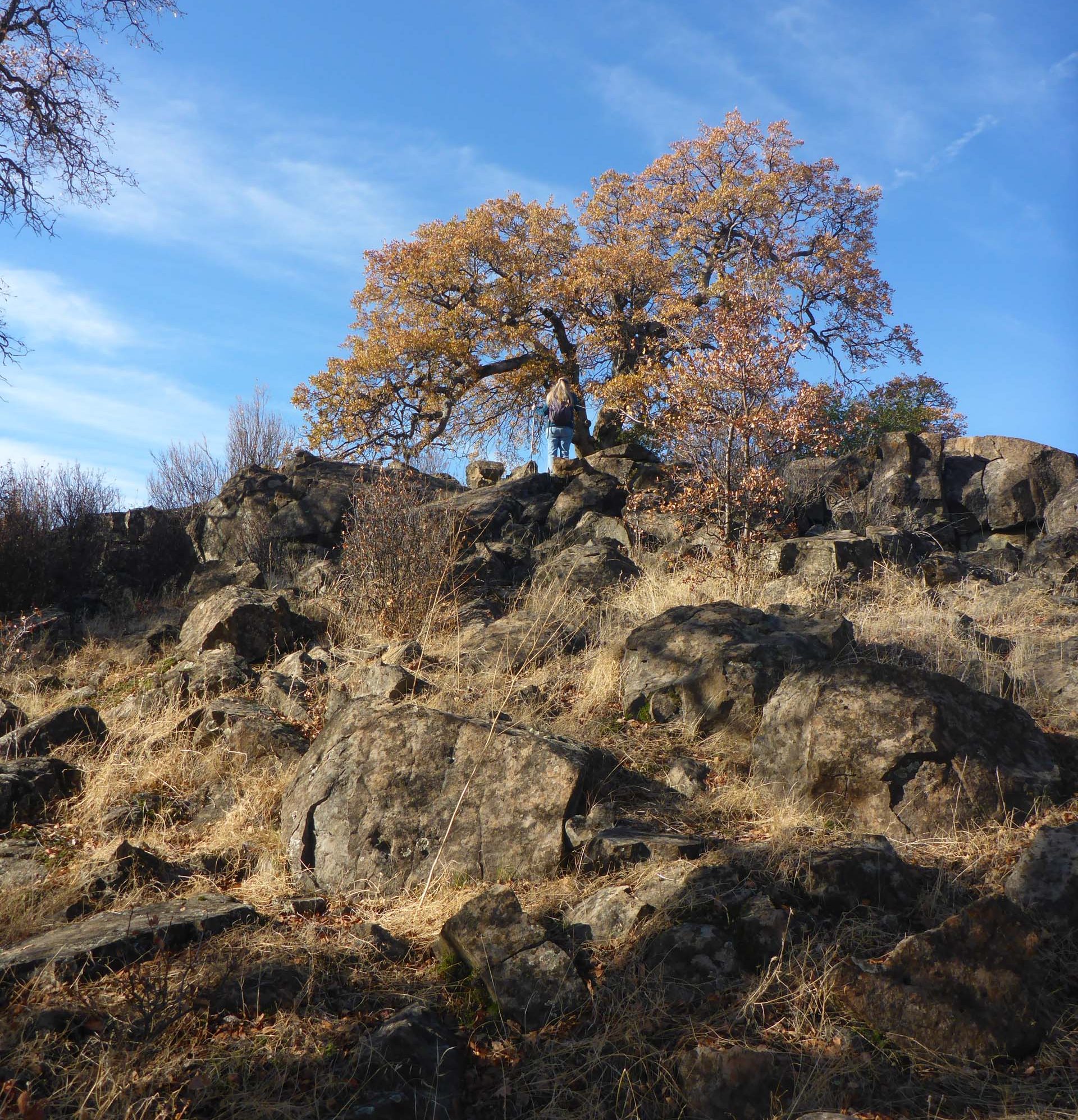
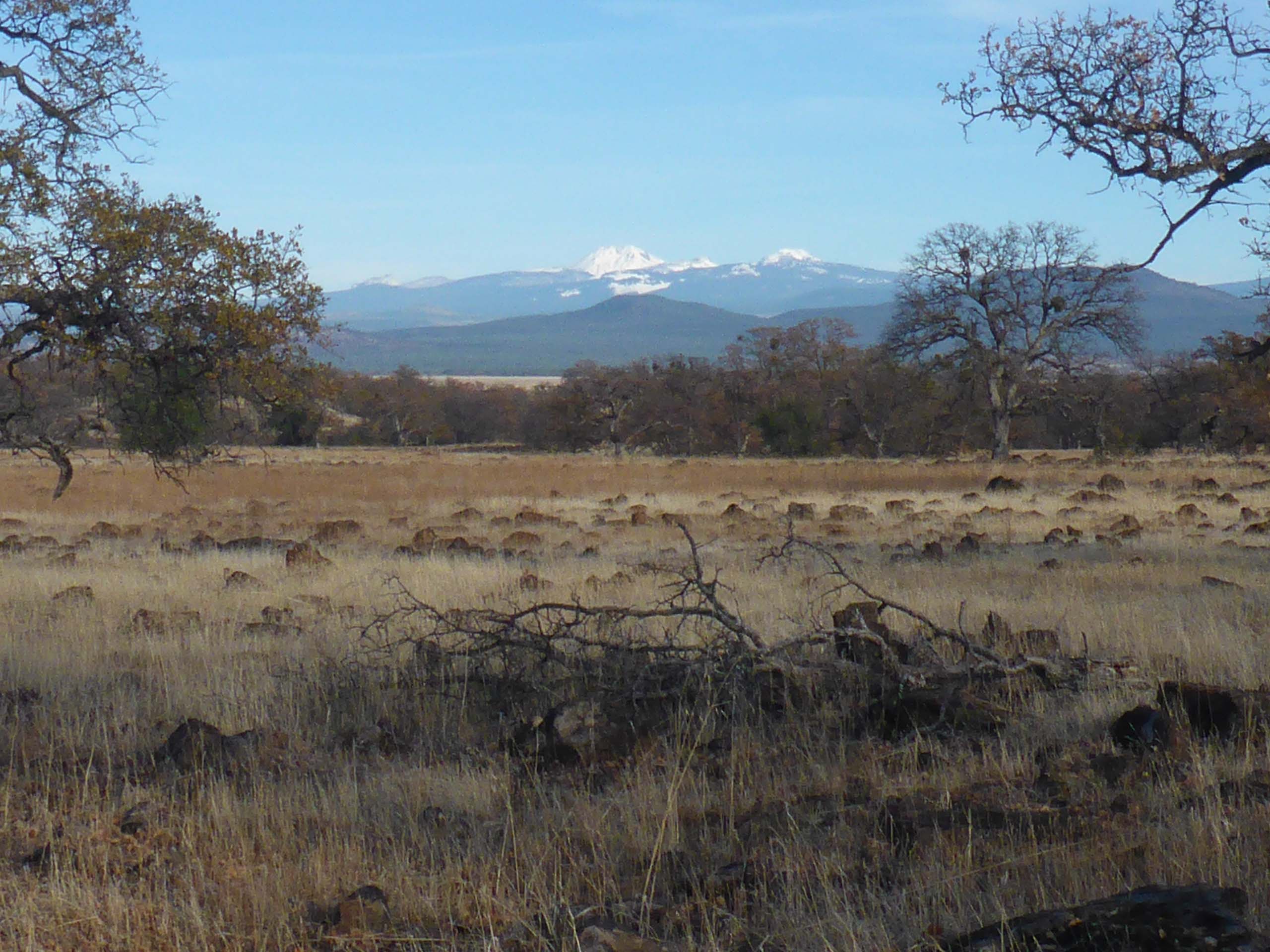
Gorgeous views await at the top. We like to have a bite to eat on the rocky point, and then walk along the rim as far as we can. On this particular Sunday, this is where we found a few species still in bloom.

View fro promontory. D. Burk.
View northwest from the rocky promontory over the Sacramento River, just south of Massacre Flat. Sacramento River Bend Recreation Area. December 20, 2020. Photo by Don Burk.

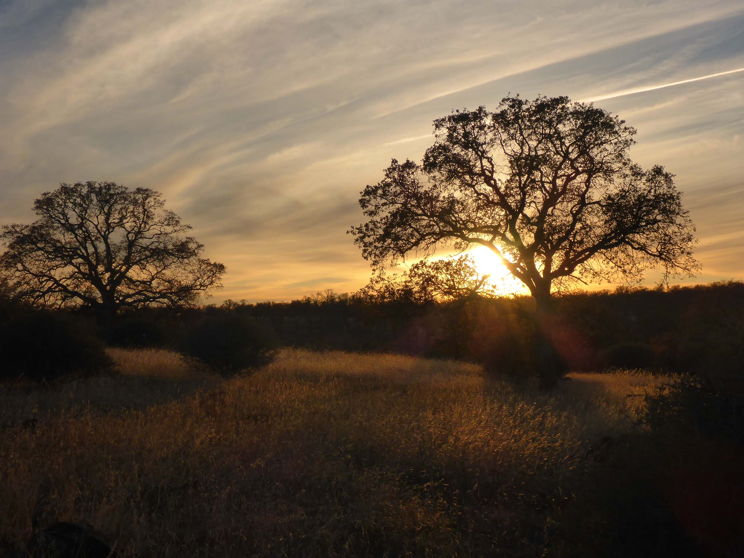
With the sun getting low, we picked our way down to the Yana Trail and got back to the trailhead just after sunset. Always an exhilarating adventure, we’d rank the difficulty of this ~6.3-mile round-trip hike as moderate due to the off-trail and rough-road conditions.

Sunset. D. Burk.
Sunset near Perry’s Riffle, Sacramento River Bend Recreation Area. December 20, 2020. Photo by Don Burk.

We hope you’ll enjoy this short slideshow of some of our more interesting finds. All photos by Don Burk. ~Laurie & Don Burk