
This beautiful bright blue and blustery day saw us checking out a couple of our favorite lowland trails in the Sacramento River Bend Recreation Area: Oak Slough and Yana trails. As it turns out, they are some of Chris Harvey’s favorite trails, too—he visited this area four times this fall! You can read his excellent article here: Oak Slough Trailhead, Fall 2020. He gives directions to the trailhead, a nice overview, and even some interesting historical info.
Since Chris already did such a nice job describing these trails, we’ll just give cursory mention of the overall hike and focus instead on a couple of auxiliary trails that may be of interest.
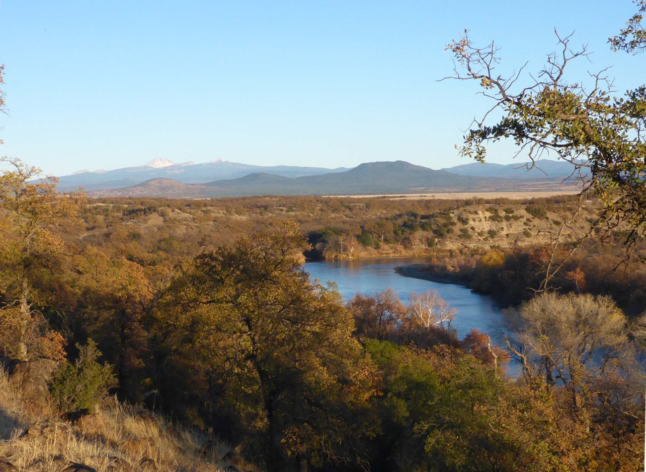
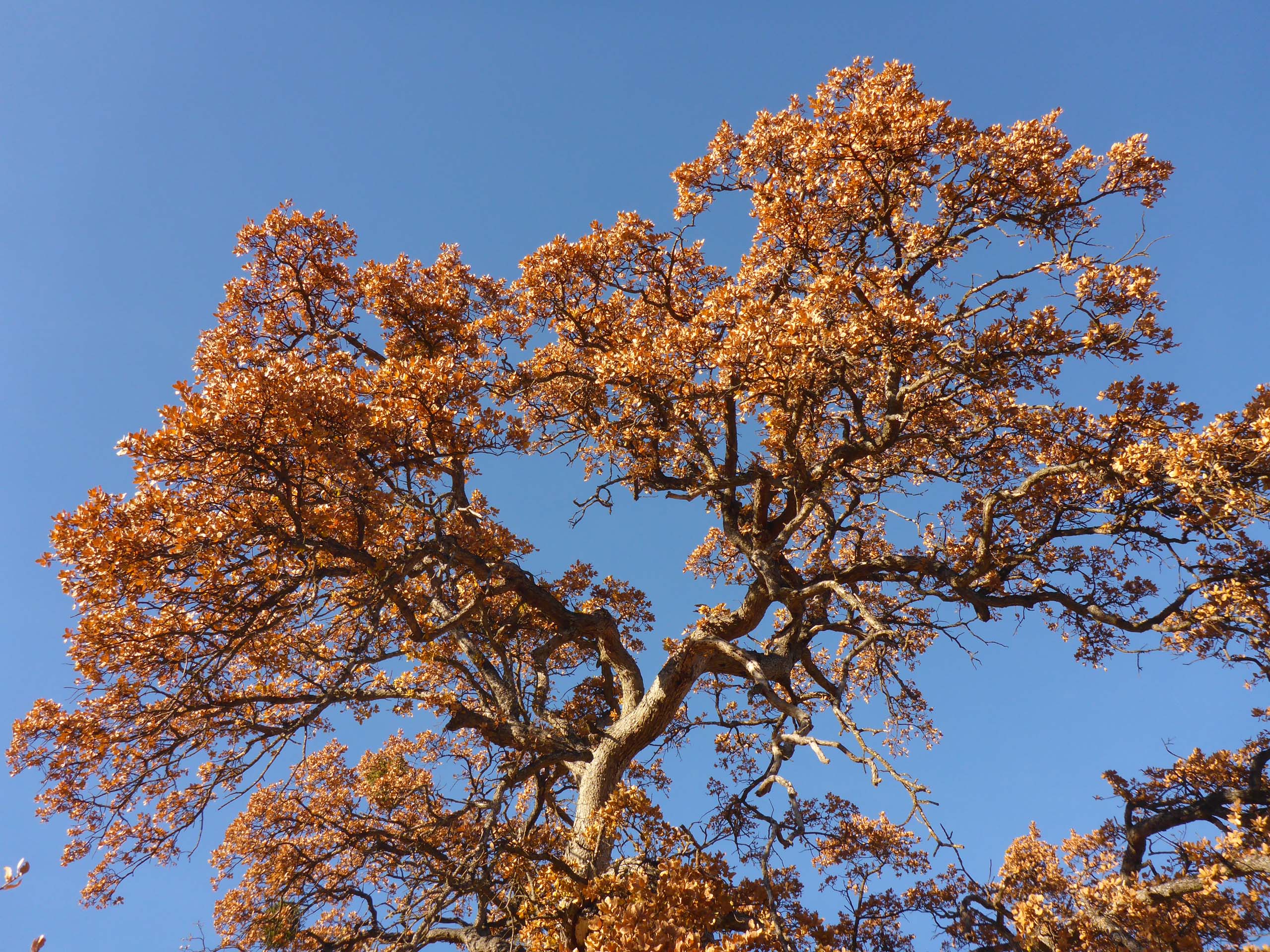
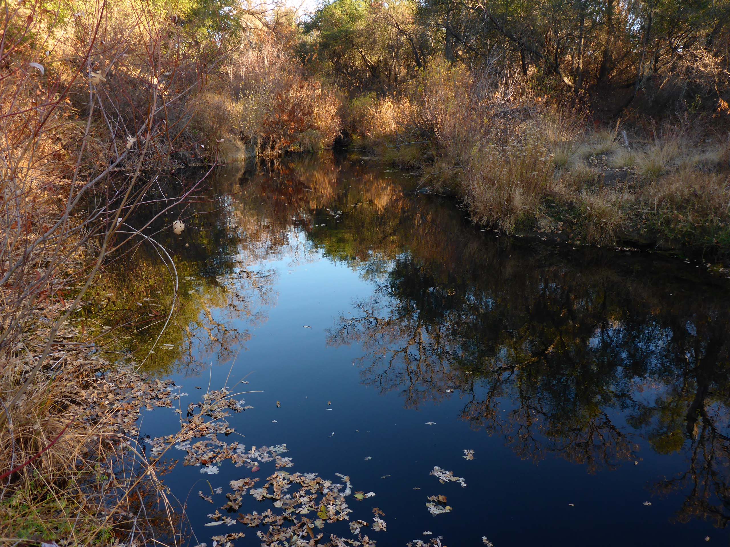
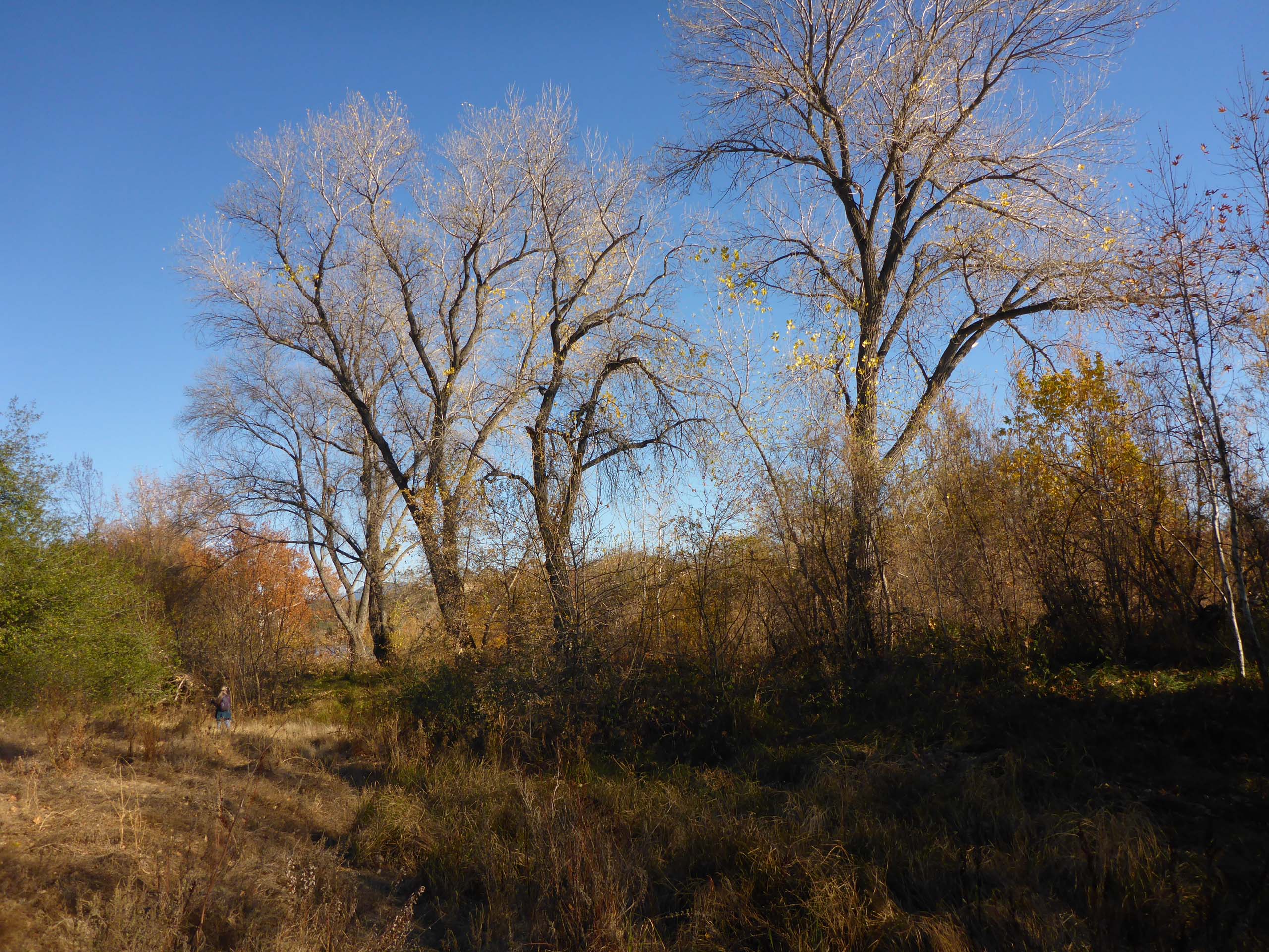
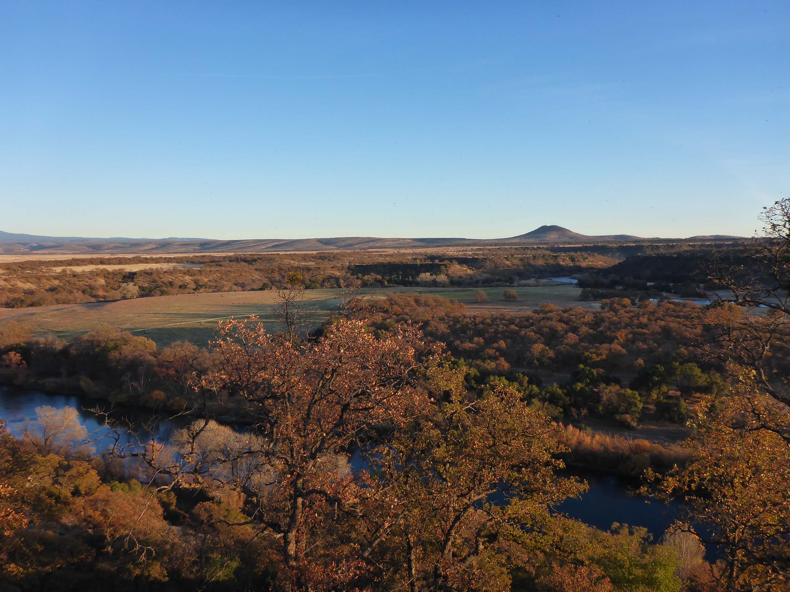
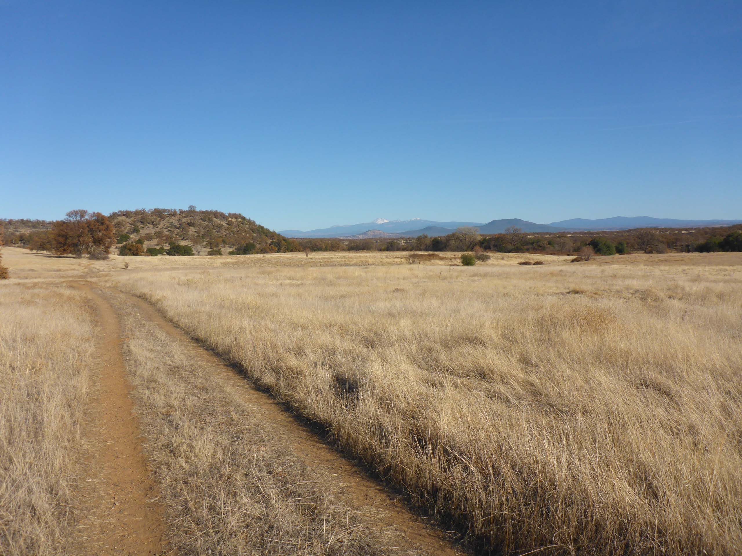
The Oak Slough Trail starts out along an old road and goes through oak woodland that has been heavily used and disturbed, even abused, so there are many weeds and invasive species of note along this first section of trail. As the road climbs gently up and around a bend, an expansive vista of the eastern horizon comes into view. Shortly thereafter, the road peters out and joins the Yana Trail, which continues on between bluff and river, opens up into more oak woodlands, and finally drops down to where it crosses Inks Creek.
There are several side excursions one can take instead of or in addition to hiking the main trail from trailhead to creek. We normally like to take the unmarked fishermen’s trail closer to the river along the bluff section of the trail, either coming or going, as the plants are very different closer to the river. You just have to trust your instincts about this trail—if a smaller trail veers off to what looks like might be a riverside trail, it probably is. Start looking for it directly after you pass the intersection with the Yana Trail and give it a try; it’s pretty difficult to get lost with the steep bluff to the north and the river to the south!
Inks Creek Point Trail intersects with the Yana Trail about midway along the bluff and is marked. This is a 0.1-mile trail that climbs steeply to the top of the mesa that the Yana Trail is skirting. You’ll get some nice views from the top, and find various use and animal trails to explore if you so desire.
Another unmarked trail (where the road-like trail crests a small hill and provides that eastern vista we mentioned earlier) will take you a very short way to Osprey Pond. It is a good place to see different plants and many birds.
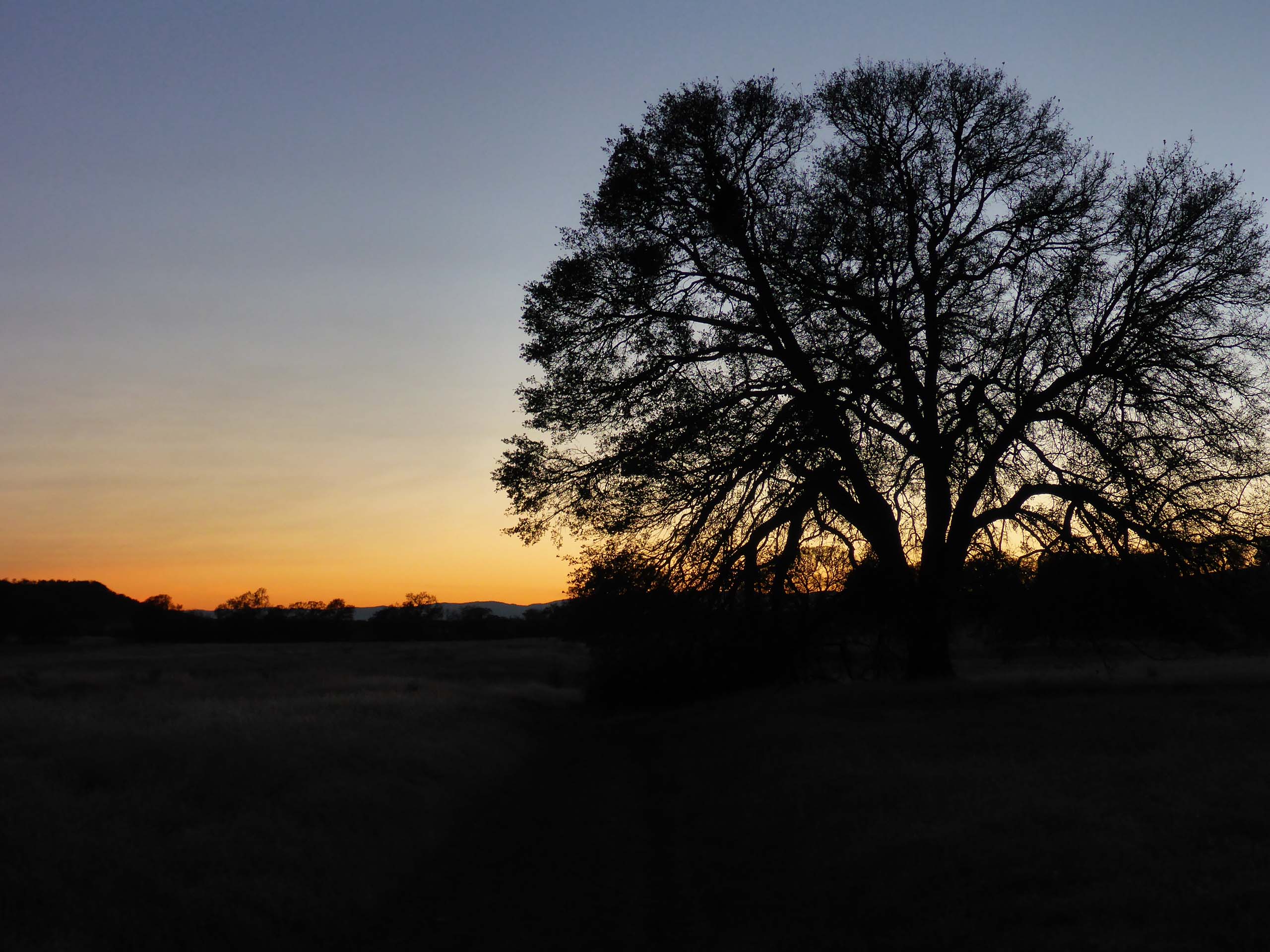
We didn’t go to Osprey Pond this hike as the sun had set and we ran out of daylight, but it’s nice to be back to hiking in low-elevation oak woodlands again.
And we did see blooms! Here’s a short slideshow that includes some flowering species amongst other finds of interest. All photos by Don Burk. Enjoy! ~Laurie & Don Burk


