
For his Father’s Day hike, Don chose one of our favorite destinations: the exposed ridge between Black Rock Mountain and North Yolla Bolly in the Yolla Bolly–Middle Eel Wilderness, accessed via the Pettijohn Trail. Our daughter, Audrey, humored him by joining us.
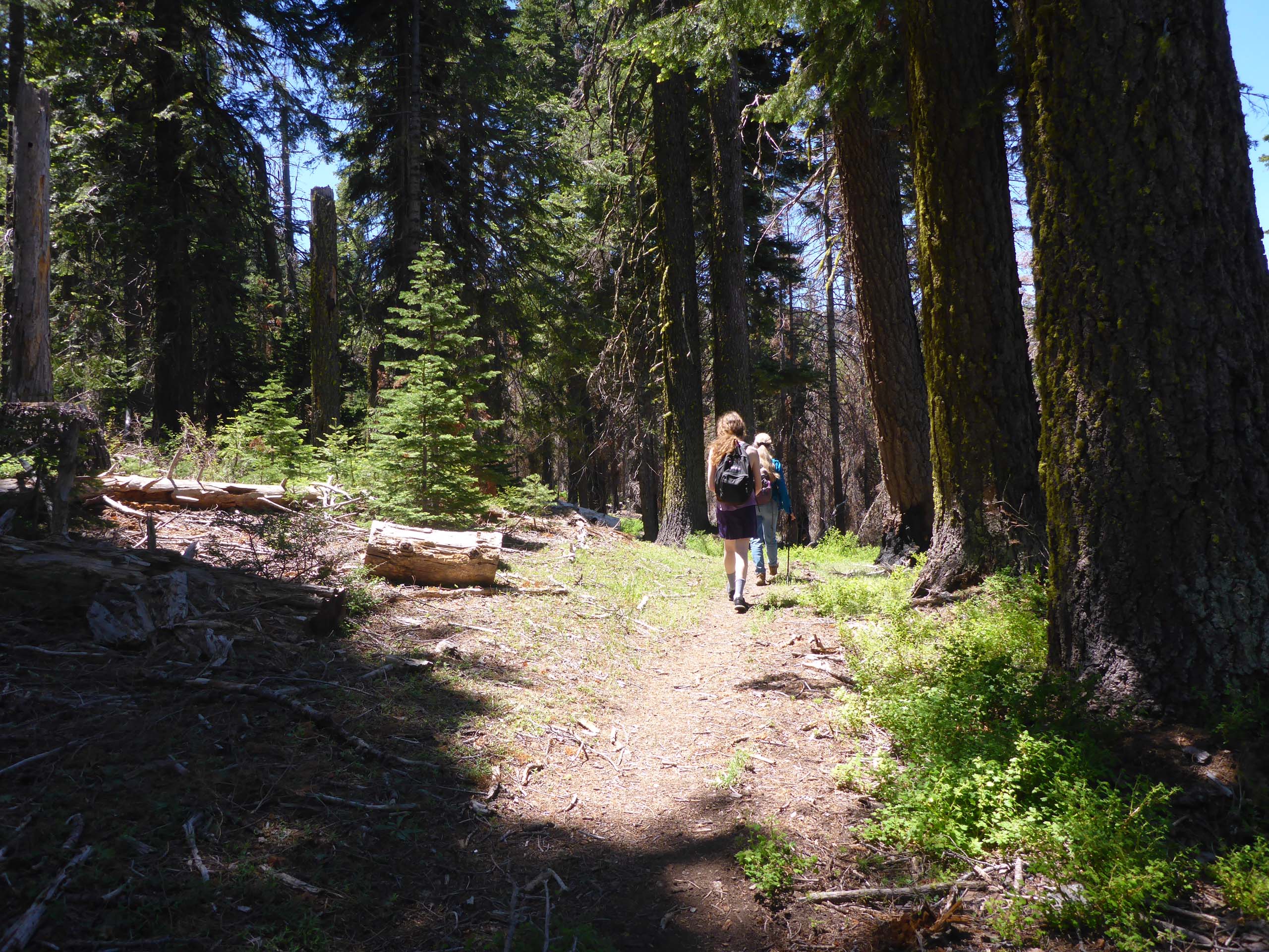
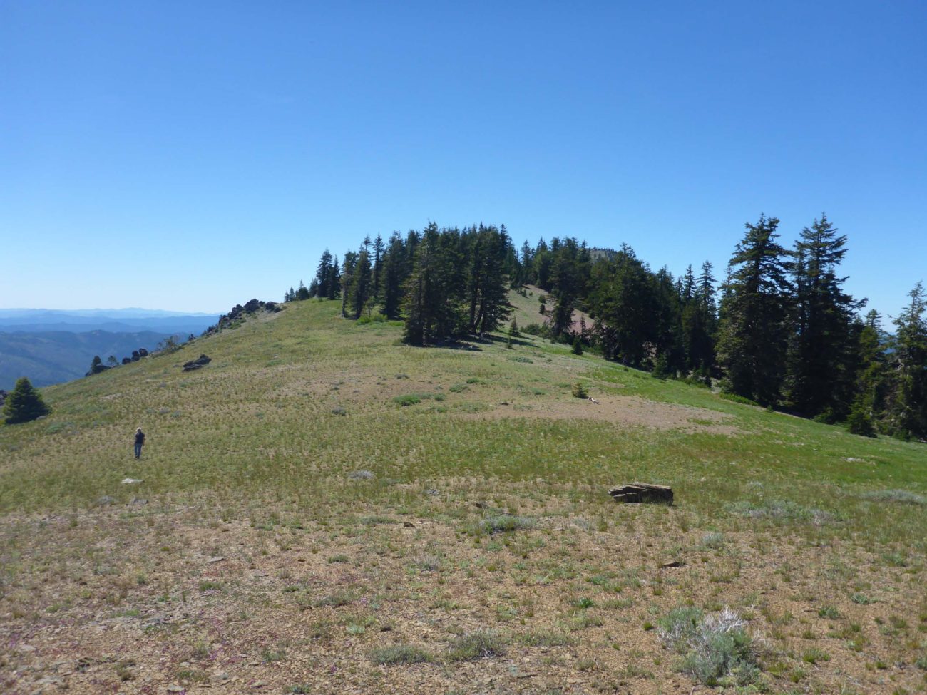
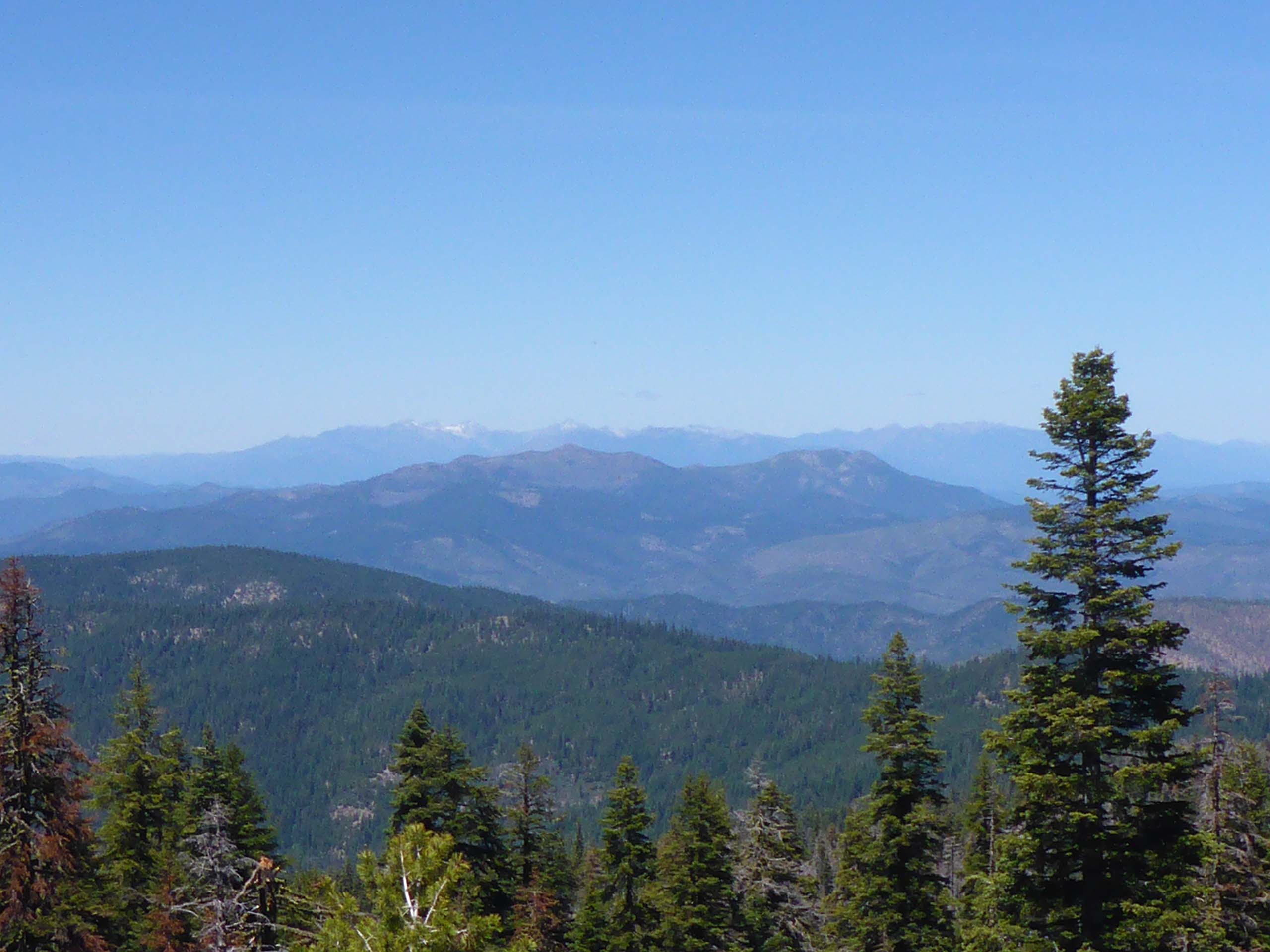
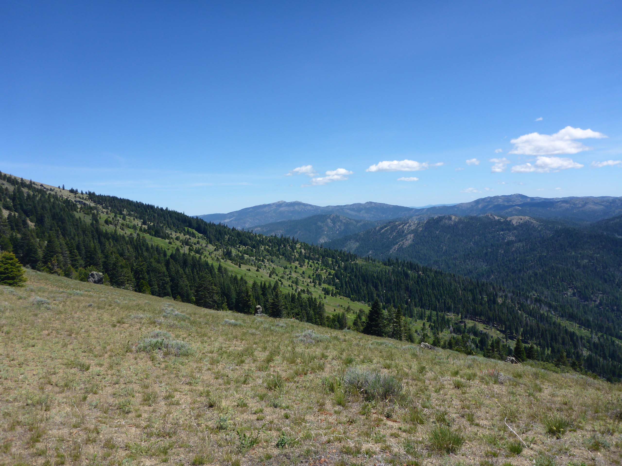
This trail climbs steadily to the ridge, an elevation gain of 1,500 feet over ~2.75 miles, through mixed-conifer and red fir forests, over the head of a wet meadow, across a couple streams, and along switchbacks through rocky outcrops that afford great views to the north, and then finally up to the ridgetop destination.
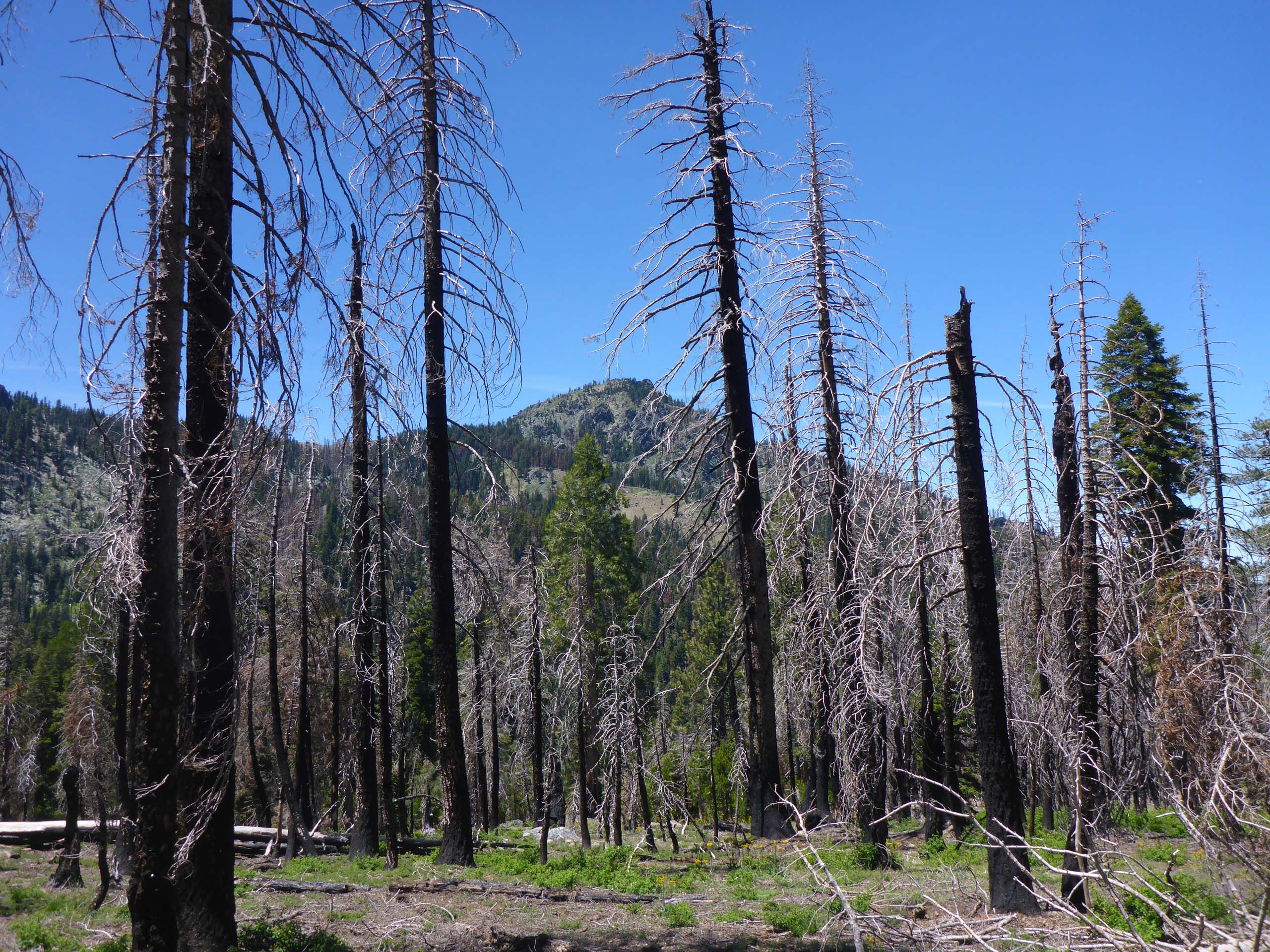
Here and there along the way, effects of the 2017 Buck Fire are in evidence.
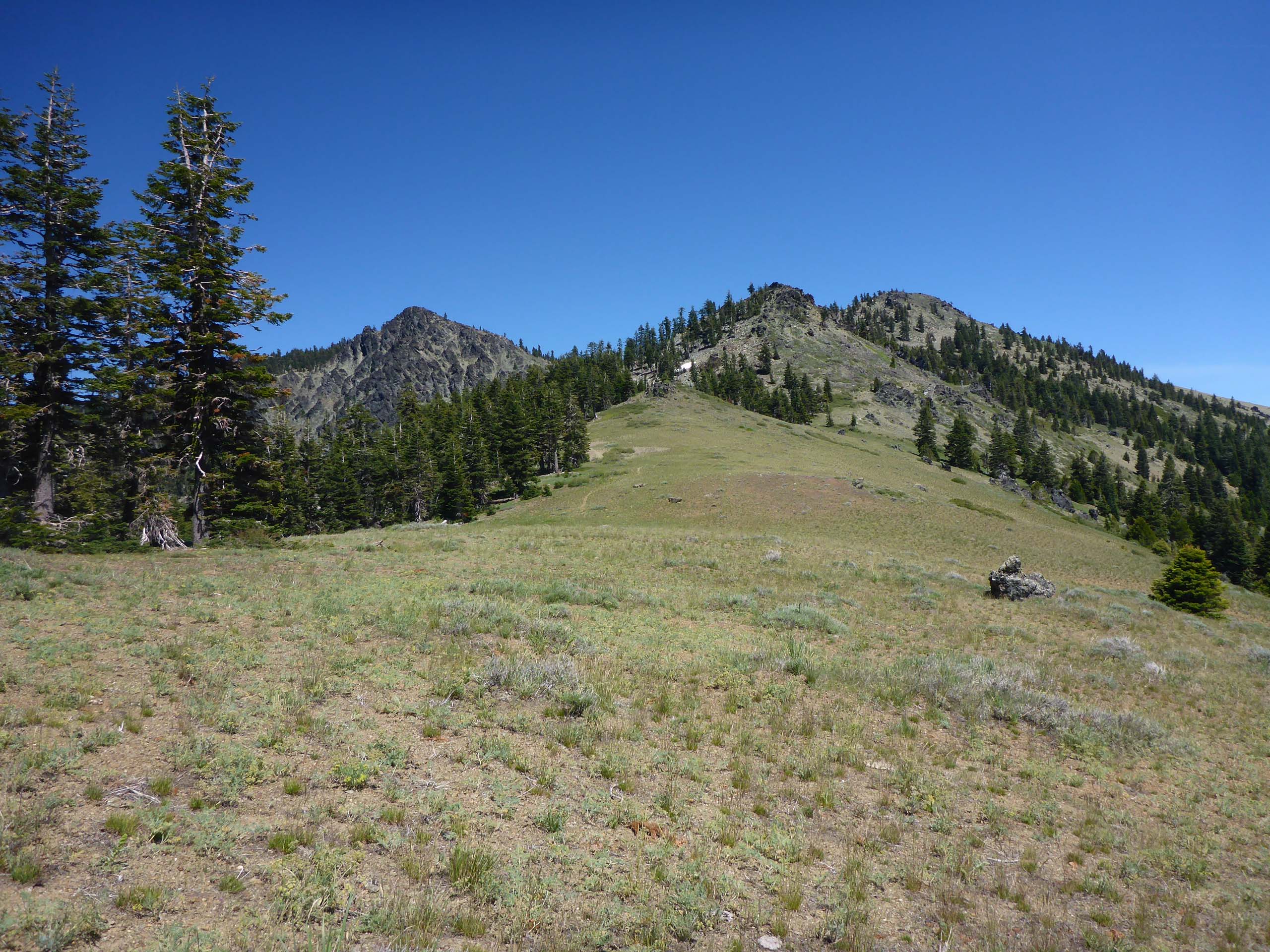
Splendid views and amazing plants that are specialized to thrive on this exposed ridgetop are our reward. It never fails to disappoint.
Several trails converge on this ridgetop, providing both day hiker and backpacker many, many miles of grand wilderness exploration.
This is a remote trail that takes a long time to get to, but well worth the effort. We recommend going now through the end of July—wildflowers will be abundant and few, if any, other hikers will be there. (Come August, the area is crawling with deer hunters with all their gear.)
To get there, take Highway 36 west past Wildwood; turn south (left) onto Wild Mad Road (immediately after crossing Hayfork Creek); drive 9 miles on this paved, two-lane road to Pine Root Saddle; turn east (left) onto Forest Road 35, a newly resurfaced one-lane road, and drive 11 miles to reach Stuart Gap. Continue straight for another 2 miles on a well maintained dirt road; the trailhead for Pettijohn Trail is at the end of this road.
We hope you enjoy the following slideshow of photos taken on the Pettijohn Trail, June 21, 2020. All photos were taken by Don Burk unless otherwise noted. -Laurie & Don Burk


