
Here’s a great fall hike that has a little something for everyone. It starts from Paynes Creek Trailhead in the Sacramento River Bend Recreation Area. To get there, take Jellys Ferry Road to Bend Ferry Road at the community of Bend, Tehama County. Almost four miles down Bend Ferry Road you’ll come to a well-signed, good dirt road that will take you south to the trailhead parking area in 0.3 miles.
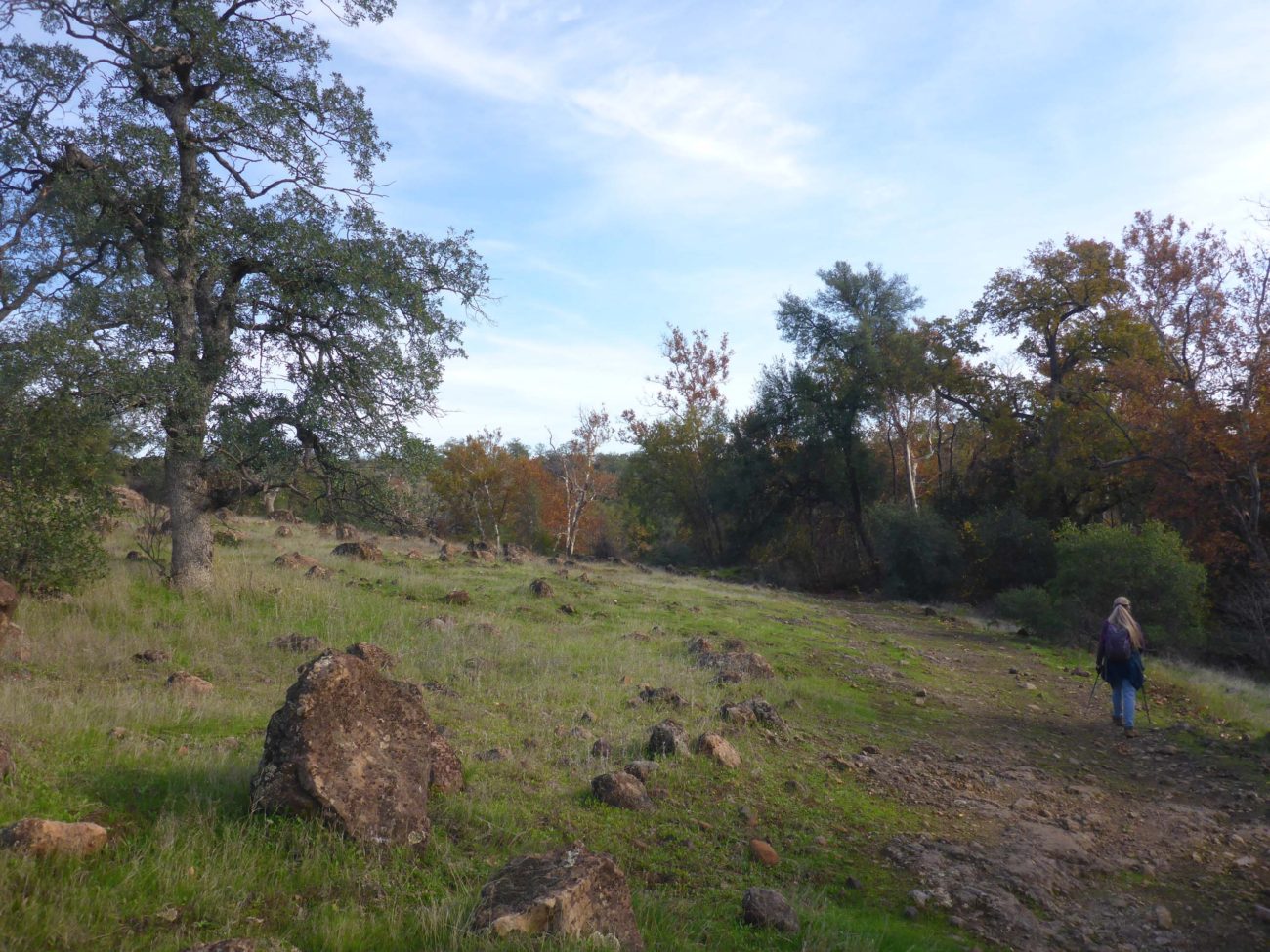
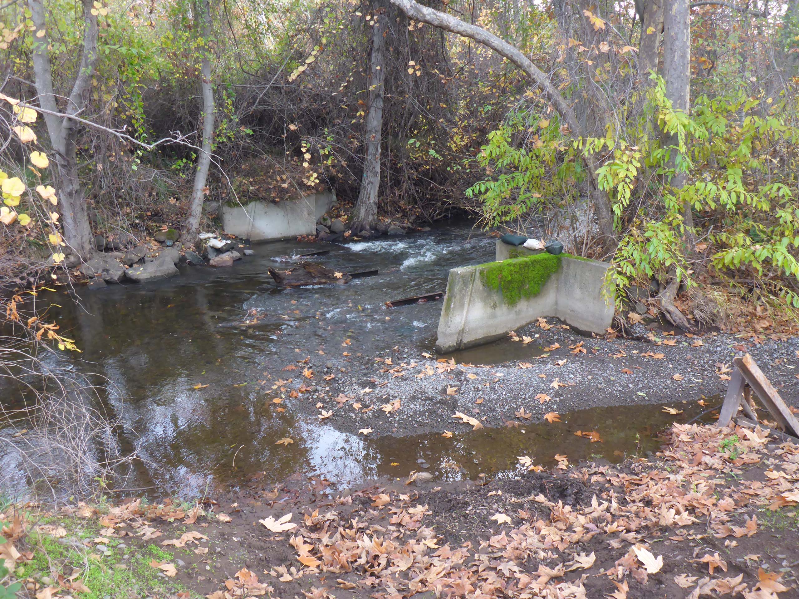
Directly past the gate at the trailhead parking area, and before crossing the small bridge over a ditch, there is a dirt road that leads east. It parallels the diversion ditch and later Paynes Creek for most of its ~1-mile length, and as much as we dislike hiking on roads, we are quick to make an exception for this one. It is little used, and takes one through some lovely riparian habitat, all to the tune of the madly rushing Paynes Creek.
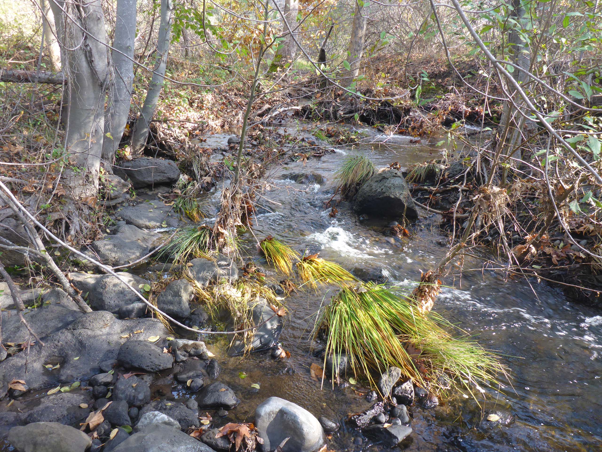
Photo by Don Burk.
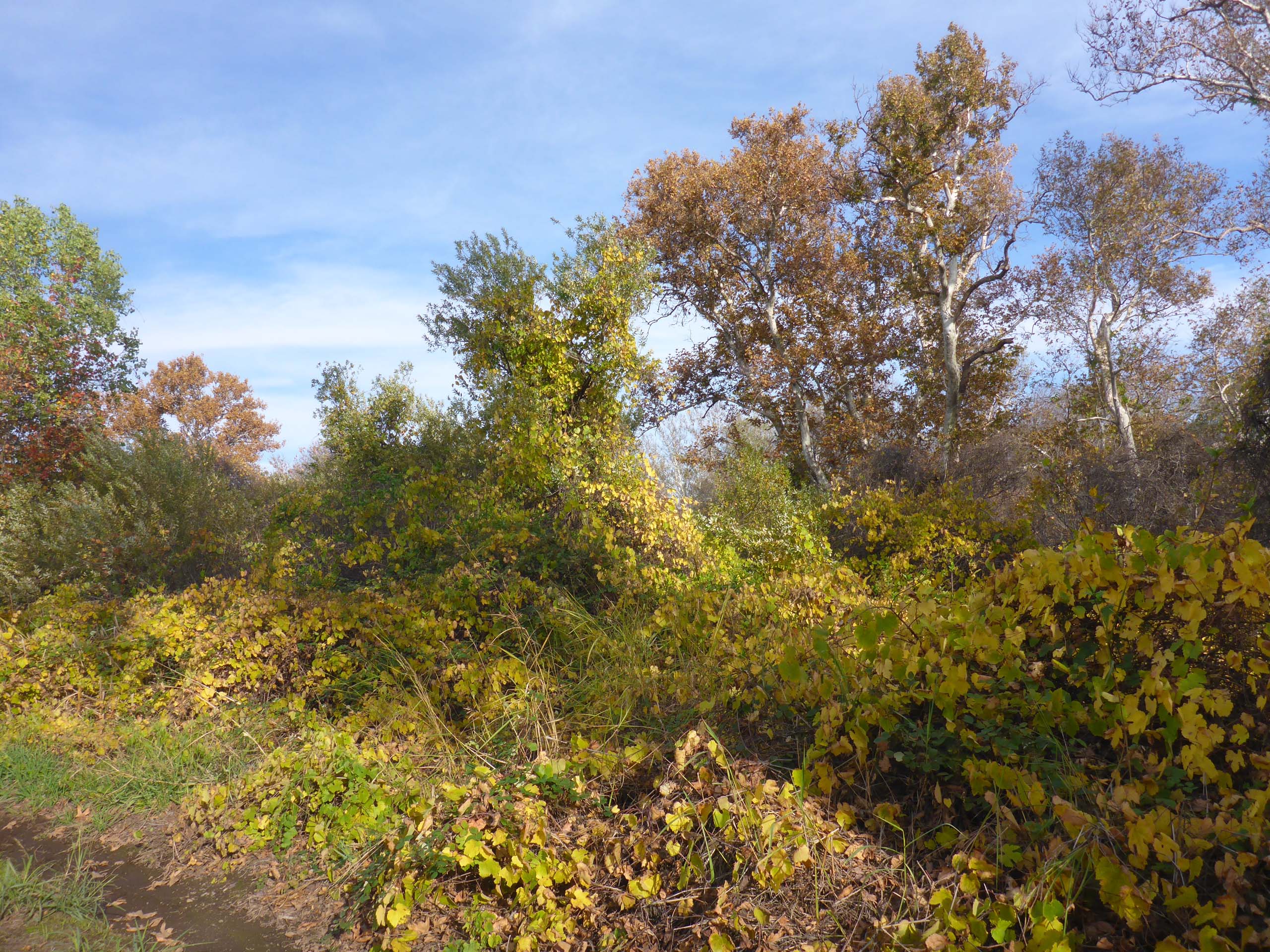
This mellow fall, coming along so slowly this year, is allowing leaves to take longer to change color and drop, producing an ever-changing and glorious autumnal landscape. Along this old road, fall colors are provided primarily by huge sycamores, massive valley oaks, wild grapes, escaped figs, redbuds, and spicebushes, And because of the unusually warm temperatures and nice precipitation thus far, we found no fewer than 19 species in bloom! Some were ultra-late bloomers; some were regreens; and a few were simply just confused.
For anyone wishing to get a little more exercise, a trail takes off where the road ends, and continues to follow Paynes Creek at least another four miles. This trail is little known and little used and may take some creative navigating to stay the course, but with the creek to the south and an increasingly steep slope to the north, it is nigh impossible to get lost. (This is a beautiful trail in the spring; we will try to remember to write it up next year!)
We highly recommend this short hike, or stroll, really. It’s mostly flat and very easy, and the colors are beautiful right now. (For higher-elevation fall-foliage hikes, don’t forget the trails at Waters Gulch and Squaw Valley Creek!) Below is a short slideshow of some of the sights we enjoyed on our stroll along Paynes Creek. All photos by Don Burk. Enjoy! ~Laurie & Don Burk


