
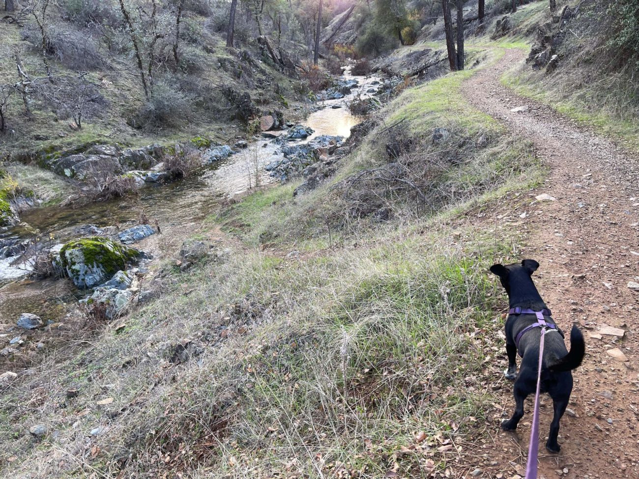
Hopefully, you’ve been getting out to enjoy Redding’s many trails and this year’s great fall weather! Over the past month, I’ve been frequenting two of my favorite local trails that roughly parallel Salt Creek as it descends to meet the Sacramento River.
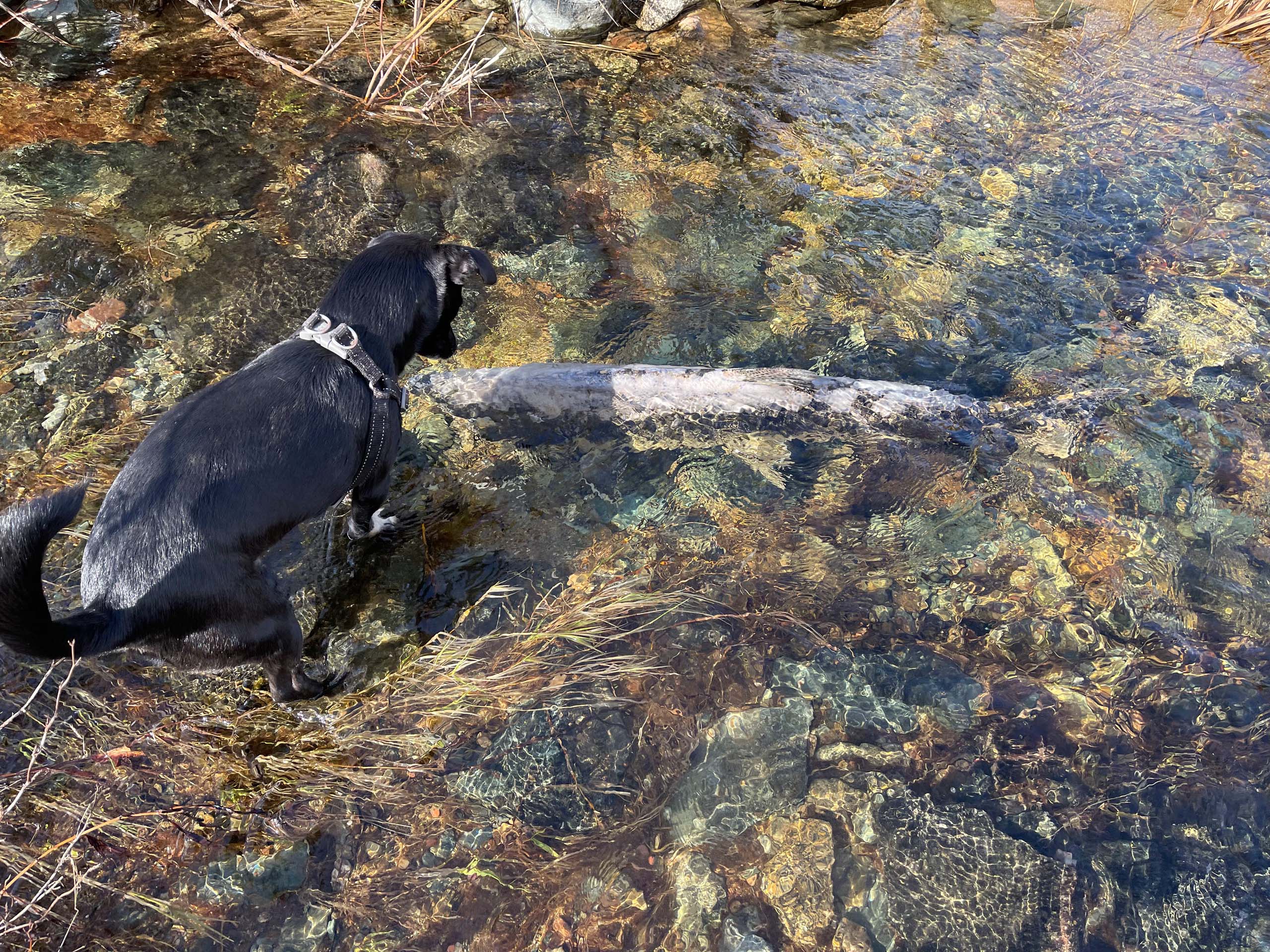
The fall colors have been beautiful, and the substantial rains we received earlier in the month have recharged the intermittent stream—so much so that many chinook salmon battled their way upstream a mile or more to spawn and complete their life cycle.
Needless to say, the turkey buzzards, as well as my dogs Baxster and Stella, have been delighted. The large fish carcasses make nice meals for the scavenging birds and wonderful perfume for canines!
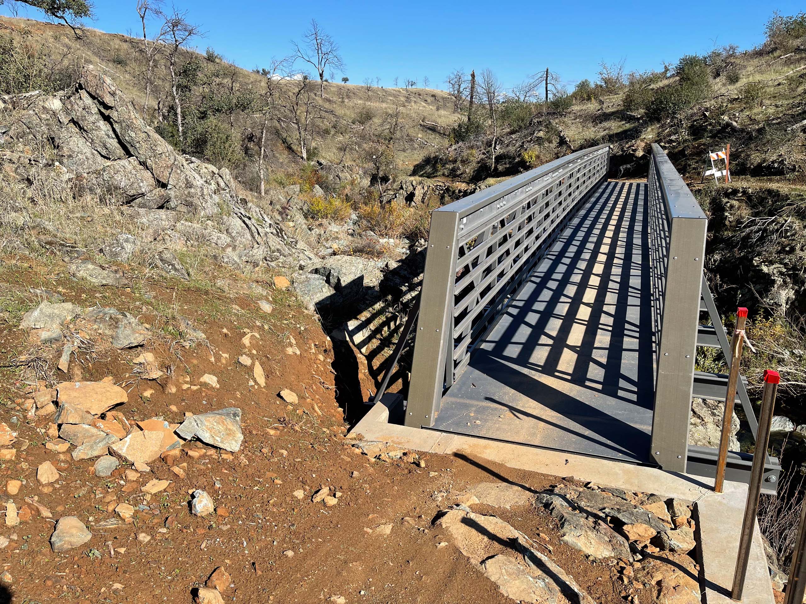
Both Upper Salt Creek Trail and Lower Salt Creek Trail are out-and-back hikes, each measuring ~three miles roundtrip. If you are looking for a longer hike or bike ride, you can combine the two trails by carefully crossing Highway 299 at the turnaround point on Upper Salt Creek Trail. Both trails feature bridges, the one on Lower Salt Creek Trail measuring seventy feet in length, which offer nice vistas of the stream.
To get to the Upper Salt Creek Trailhead, drive west on Highway 299 from its intersection at Buenaventura Boulevard for just over a mile and turn left onto Lower Springs Road. Drive ~0.7 miles on Lower Springs Road and turn left onto Valparaiso to immediately arrive at the parking lot. Walk down the dirt path to cross the road and find the trail.
To find the trailhead for Lower Salt Creek Trail, from Highway 299 turn right onto Iron Mountain Road. Then immediately turn right onto Monitor Road. Drive ~0.2 miles and park off the road. A trail sign directs you to the trailhead.
Please enjoy the following slideshow of photos that I took while hiking both trails several weeks ago. There are still beautiful fall colors to admire. Dog owners beware: there are still plenty of salmon carcasses, too! ~Chris Harvey


