
Having not been back to Mount Linn since the August Complex wildfires of 2020 ravaged the Yolla Bollies, we approached Ides Cove Trailhead with more than a little trepidation. It was with great relief that we found this very remote area as a whole recuperating nicely from the burn.
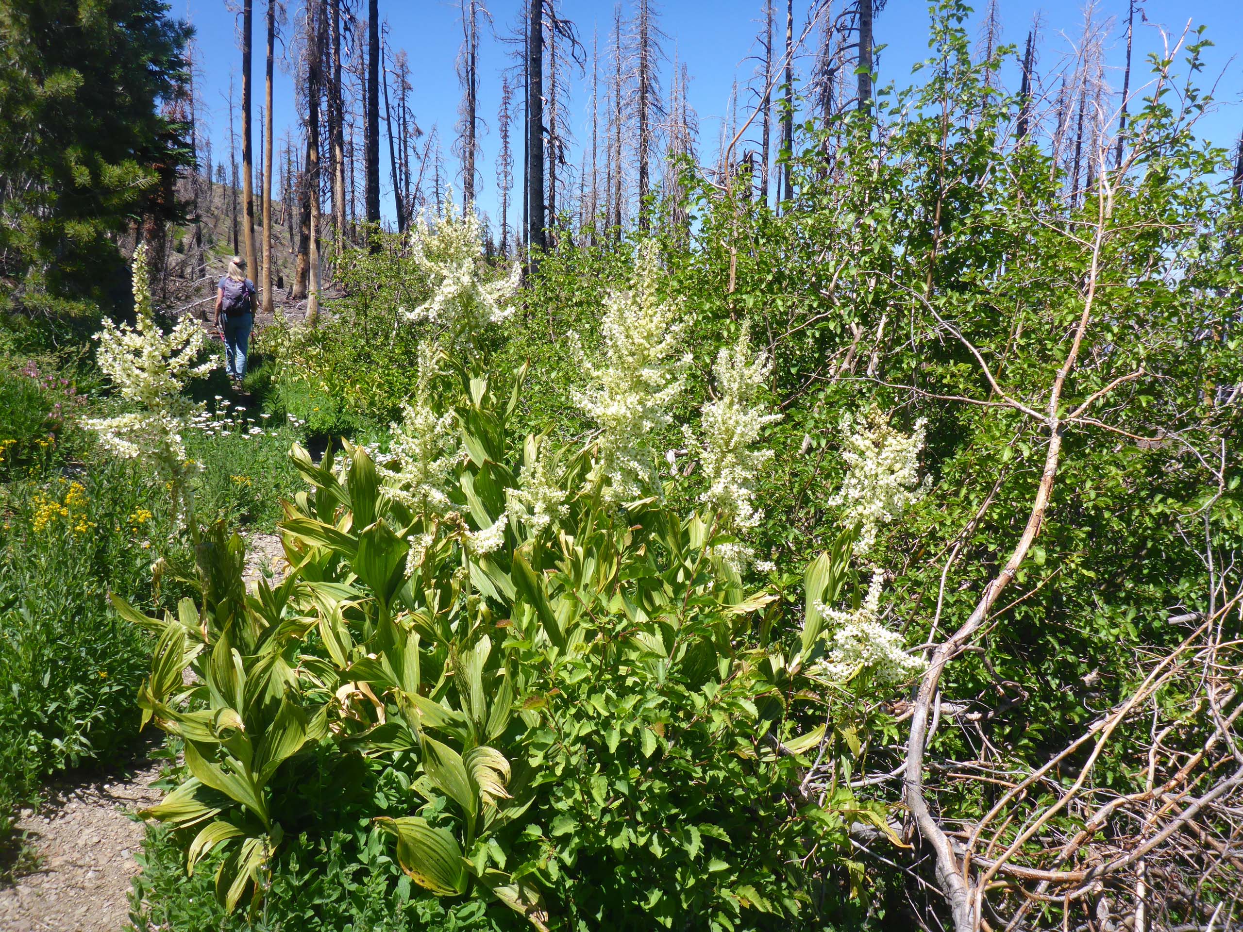
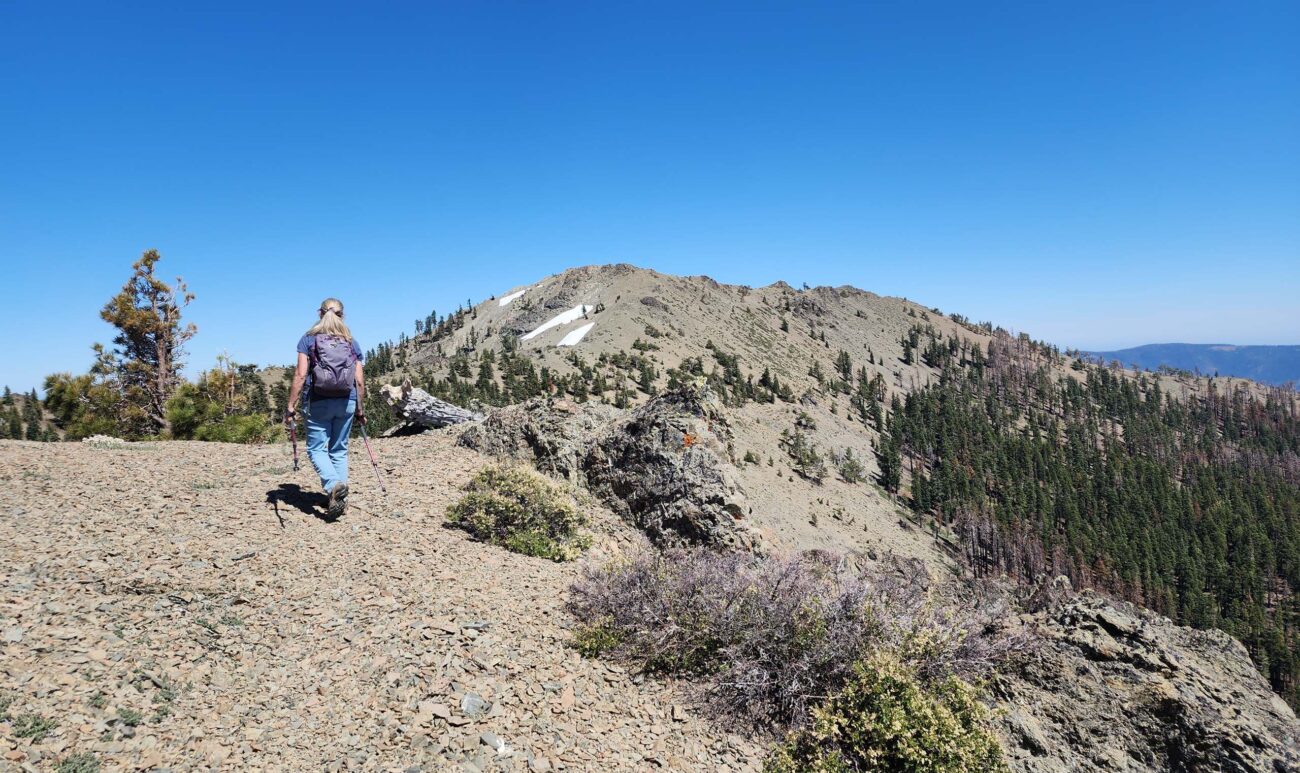
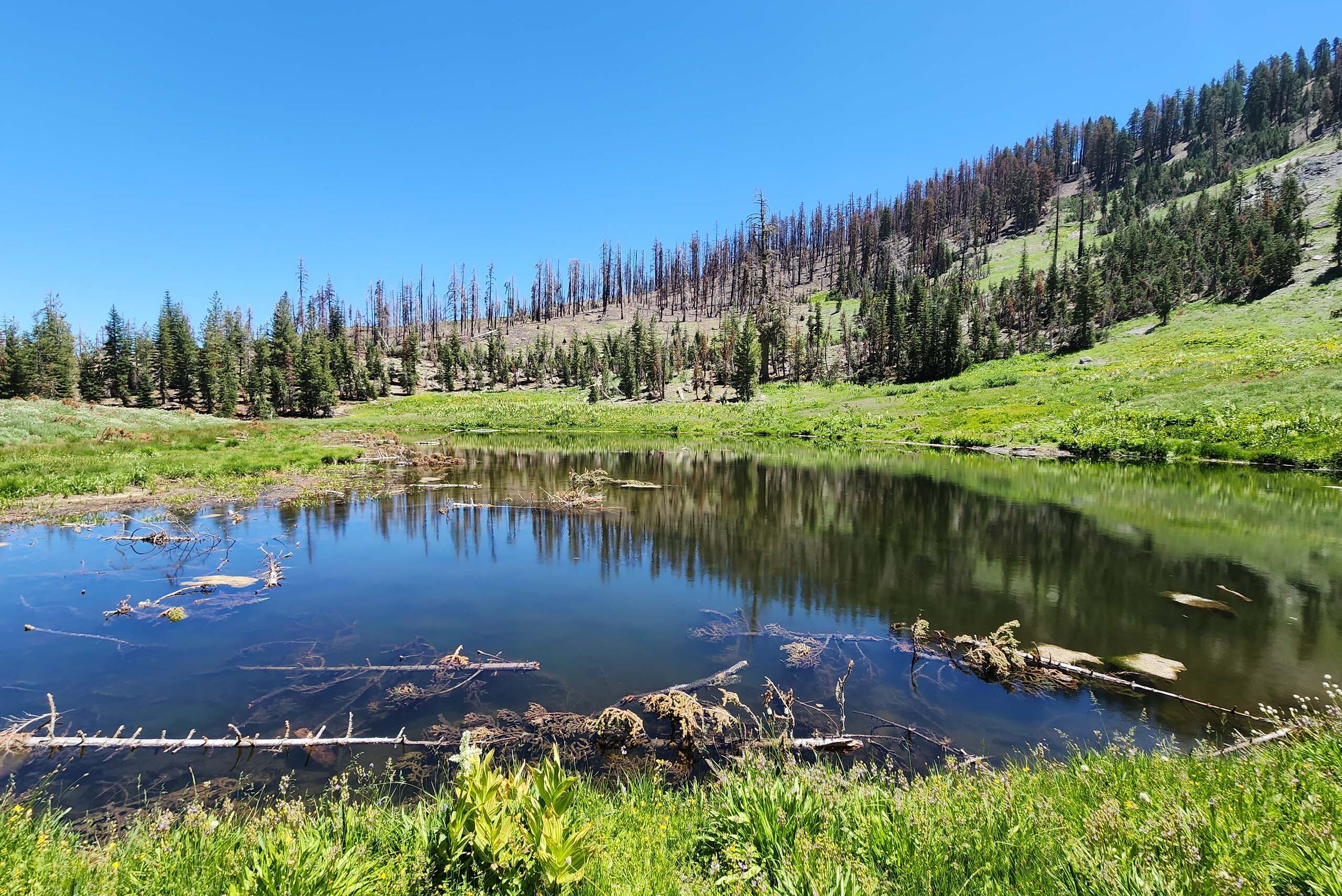
Certainly sections are burned, even severely burned, but the severe burns do not seem terribly extensive. Perhaps half to two thirds of the Mount Linn Loop Trail remains unburned. Burned sections were punctuated with beautiful green drainages and streams. The wildflowers were abundant and gorgeous!
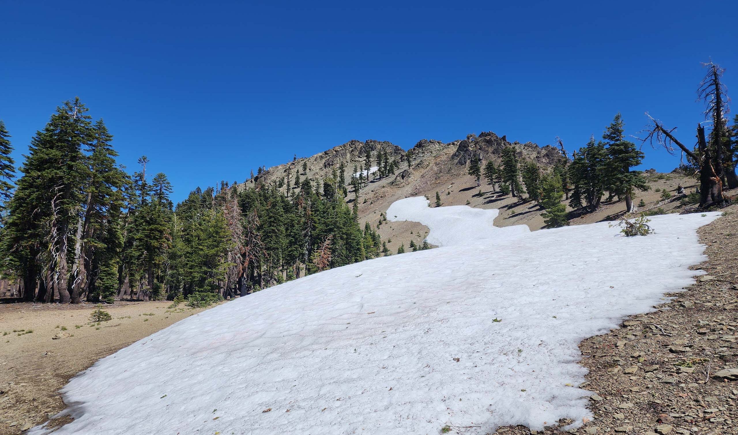
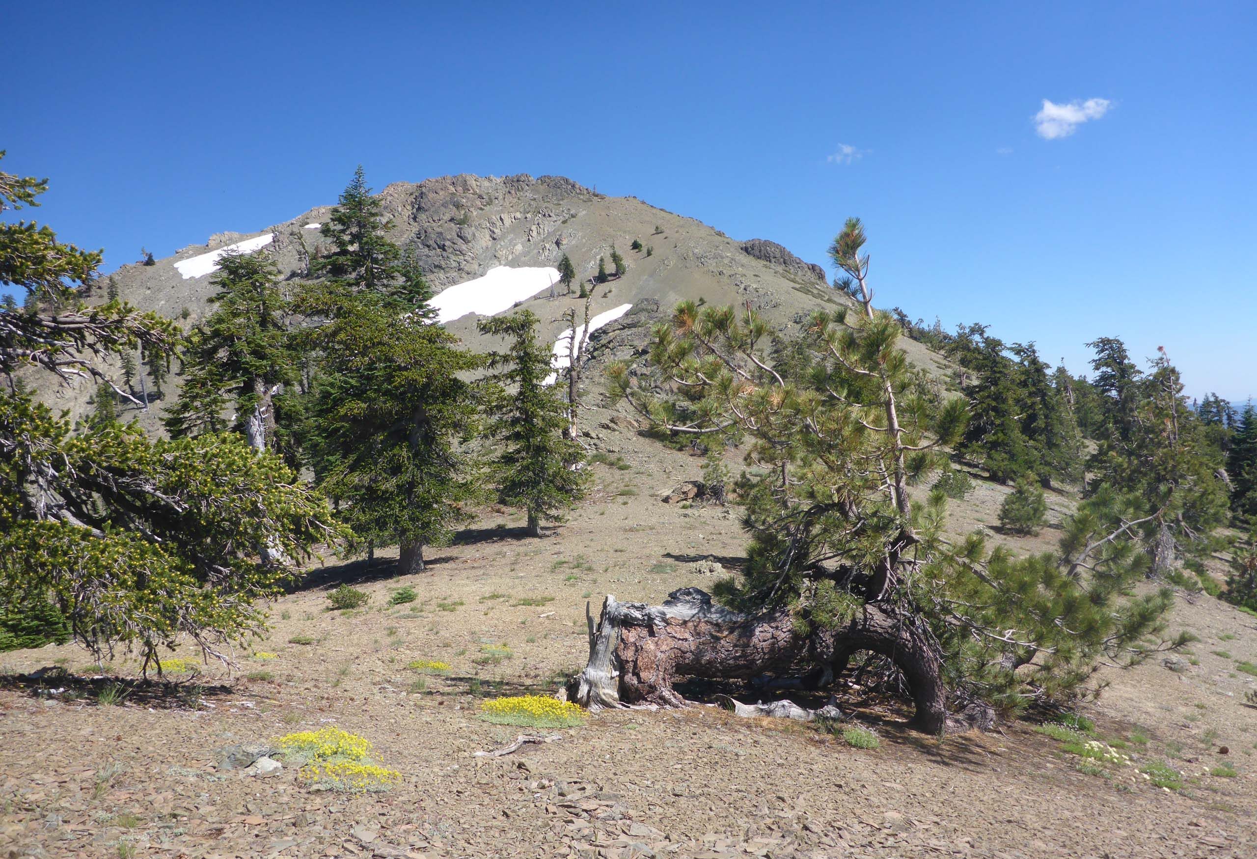
This loop trail is supposed to be 5.6 miles long (we recorded 6.3 miles, which did include a short detour of several hundred yards to a small lake) and have an total elevation gain of ~1,800 feet (Ides Cove Trailhead is at 6,580 feet; Mount Linn peaks at 8,098 feet). It is also said to be “an easy backpack.” I beg to differ. Perhaps the young bucks out there will find this hike a breeze, but speaking for the 65 and up crowd, this is a strenuous hike! If this trail is taken counter-clockwise (as recommended), the great majority of elevation gain is condensed into a couple short miles near the summit, toward the end of the hike. Which means that hikers have some very steep terrain to navigate when they are perhaps already a little tired. Maybe I’m just a wimp, but I thought it was tough!
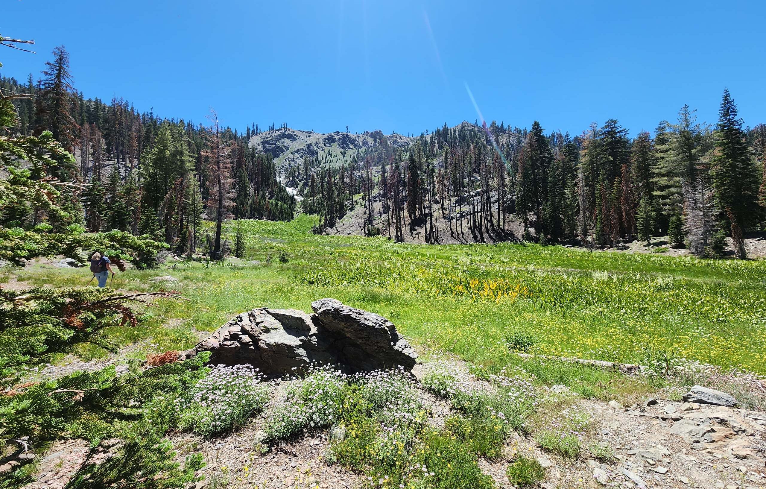
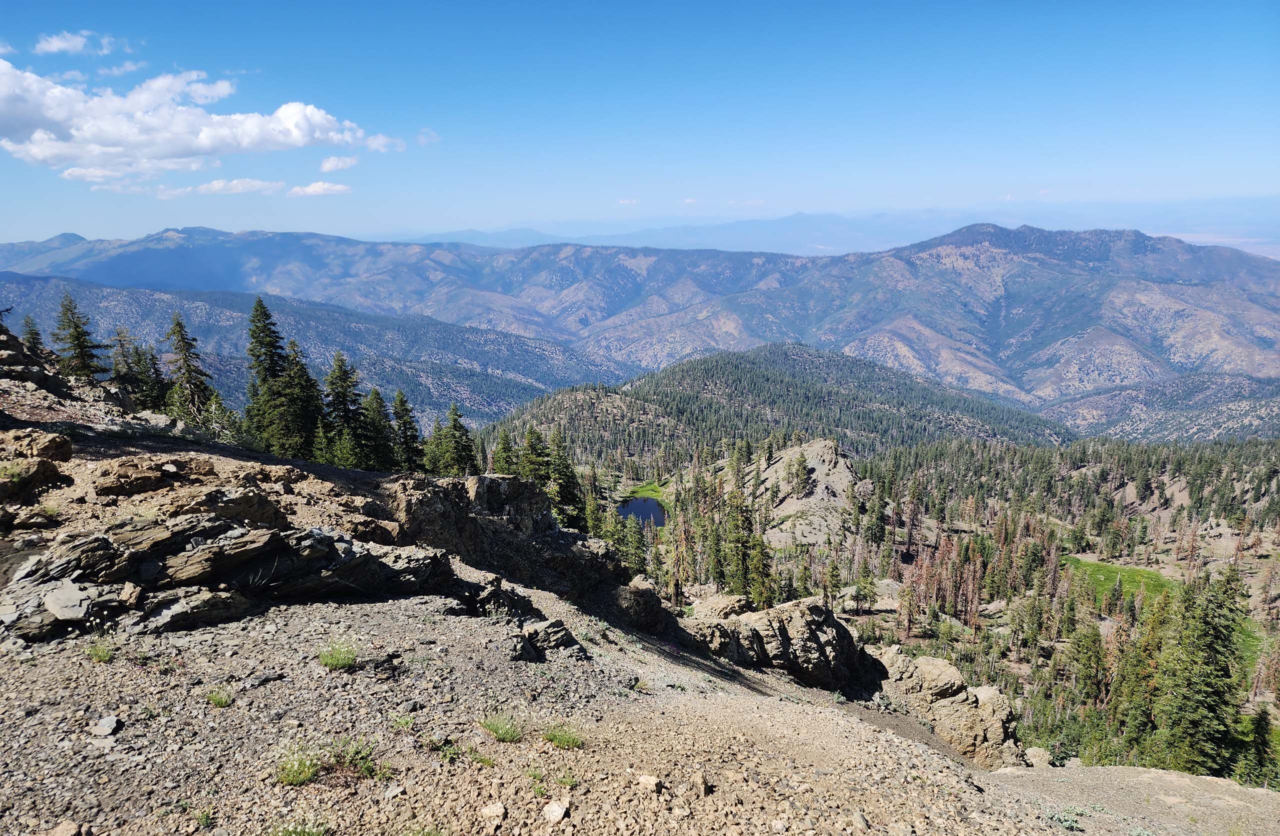
Of course, one doesn’t have to do the whole loop! In fact, the first 2.5 miles, going counter-clockwise, are flat to gently inclined and pass through some absolutely gorgeous terrain. There are several streams and lush drainages, a rocky outcrop, breath-taking views to the north, two small lakes (Square and Long), and the massive Linn Meadow. Plants growing and blooming now, especially in the burned areas, seem to be especially robust and abundant, perhaps as a combined result of fire-released nutrients and a good amount of precipitation.
Or, if peak-bagging is your thing, you can go right up the nose of the ridge from the trailhead to Mount Linn summit in ~1.5 miles. We did that just days before the fire hit in 2020; you can read about it in the article, Mount Linn, August 9, 2020.
However you approach this hike, it is imperative that you consult and take with you some good maps! While the trail is mostly very good, there are sections along the south edge that simply disappear. We especially appreciate the maps created by Chico Hiking Association, which have been updated since the August Complex fires of 2020. Not only does Chico Hiking Association offer great topos of the trail, but they also have maps that will get you to the trailhead without fail. And they are free—check them out!
In the meantime, here’s a slideshow of just some of the many beauties that we met along this trail. All photos by Don Burk. Enjoy! ~Laurie & Don Burk


