
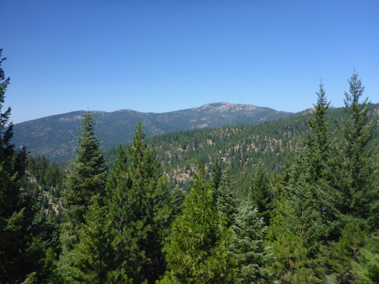
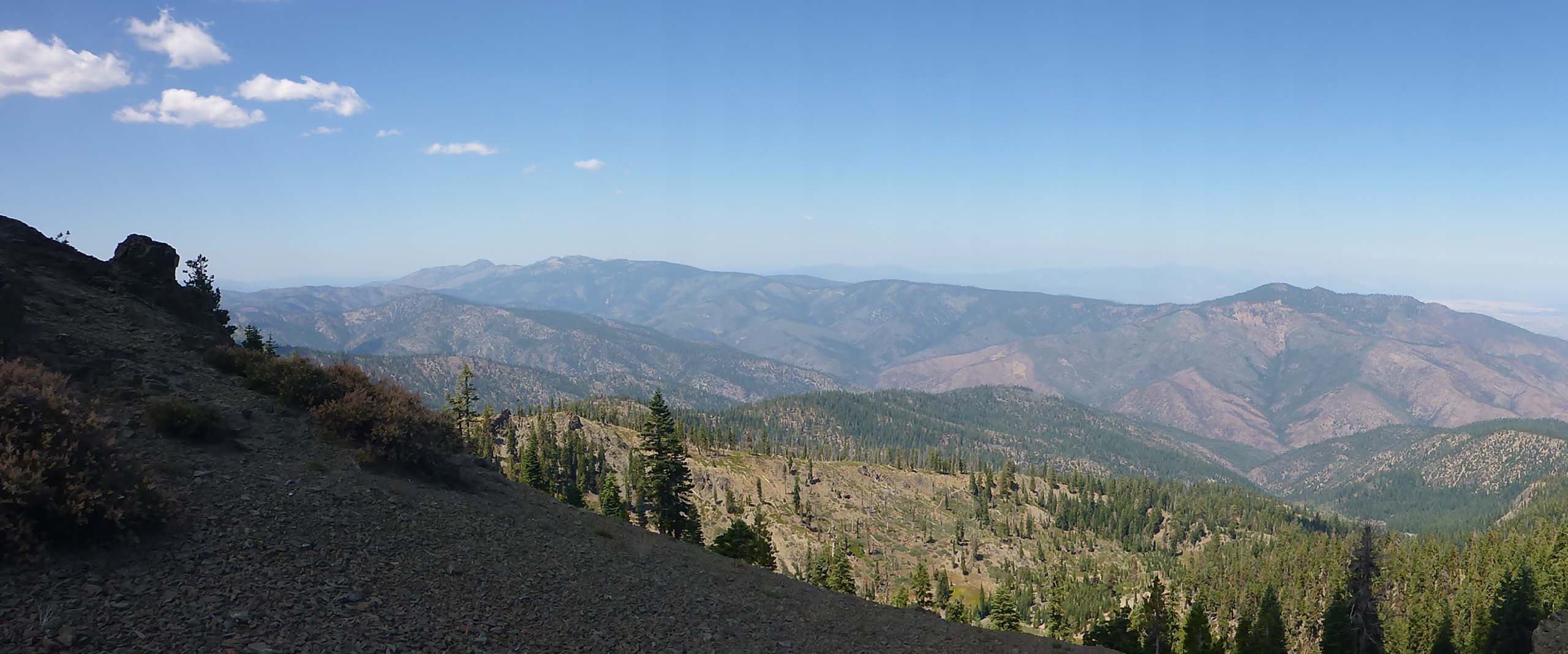
Our last hike for the season into the Yolla Bolly–Middle Eel Wilderness found us trudging up the slope to the top of its highest peak: Mount Linn. While most of this hike is cross-country, it would be difficult to lose one’s way. From Ides Cove trailhead, we simply followed the ridgeline to the top.
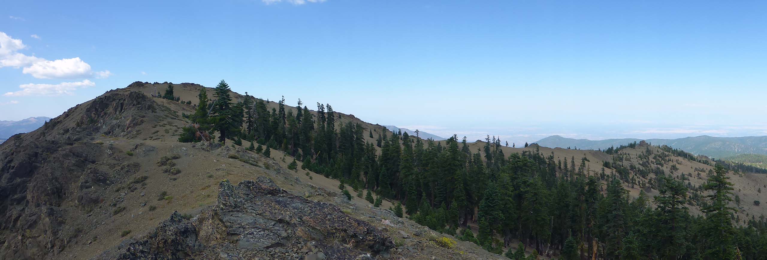
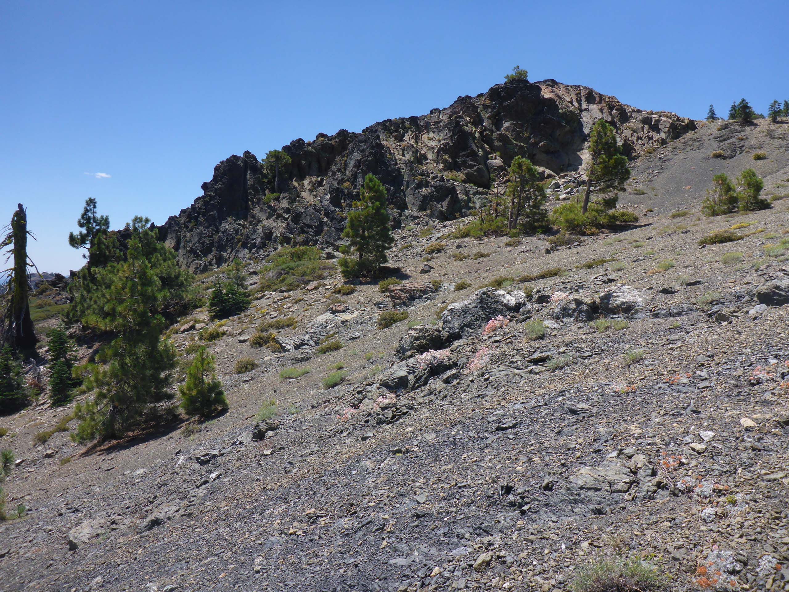
This is a strenuous hike of ~1.5 miles, with an elevation gain of ~1,100 feet. At the higher elevations, there are sections of very good trail–even sections of maintained trail–but these sections are not obviously connected, and there are places where we had to climb very steeply up rocky slopes.
August 9, 2020. Photo by Don Burk.
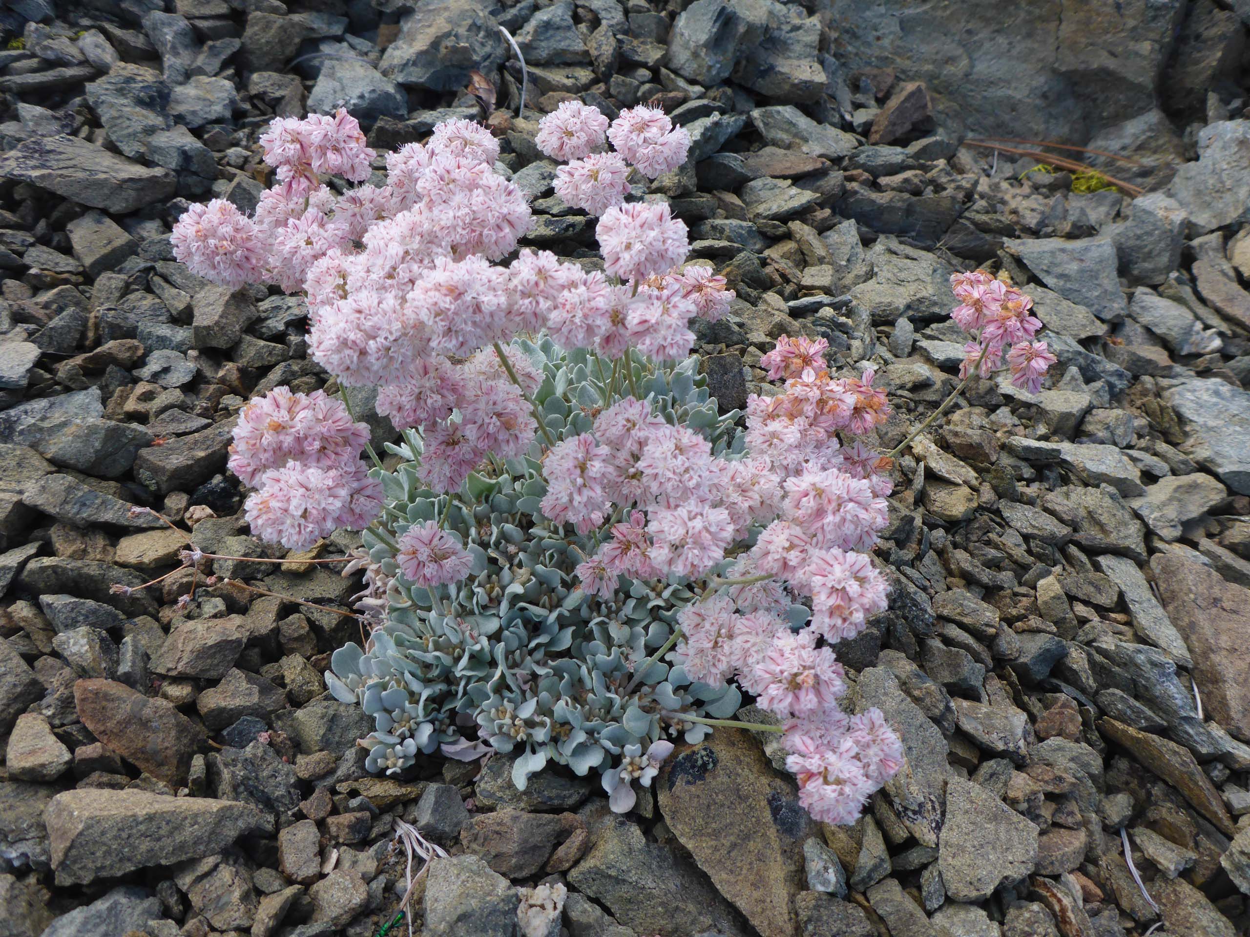
Once we reached the more exposed portion of the ridgeline, we found a number of species of plants with fascinating adaptations that allow them to live and thrive in this moonscape-like environment. Our favorite was probably the pretty pink-flowered Greene’s buckwheat, with is very hairy and compact gray-green leaves—one of five buckwheats that we encountered that day.
To get to Ides Cove trailhead, take I-5 Exit 631 (A9, AKA Corning Road) and go west 21 miles to Paskenta. At Paskenta, take M2 for 25 miles to the intersection with M22. Turn right onto M22 for another 10 miles to the trailhead. The first 19 miles out of Paskenta are paved, the rest are on dirt road of varying condition. Four-wheel drive is recommended. (We also recommend that you don’t choose one of the hottest days of summer take this hike!) This is a long drive (2.5 hours from Cottonwood) for a short hike with big rewards!
Here is a slideshow of some of the high-elevation species that we saw—some late-season bloomers and some plants already in fruit. All photos were taken by Don Burk. Enjoy! -Laurie & Don Burk


