
Depending on one’s perspective, the McCloud River Trail either begins or ends at Algoma Campground. This trailhead sits at an elevation of 3,800 feet, and it is a 15-mile hike to the opposite end of the trail, located at Fowlers Campground.
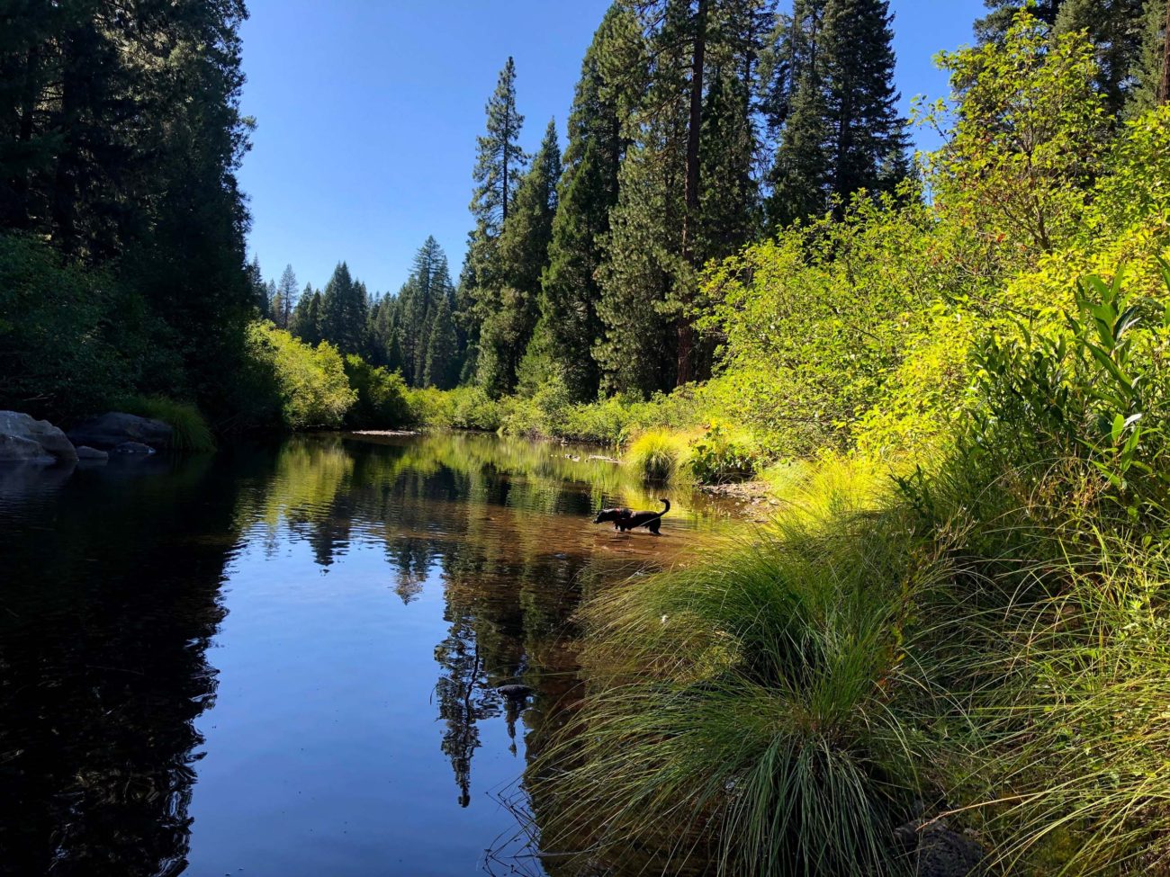
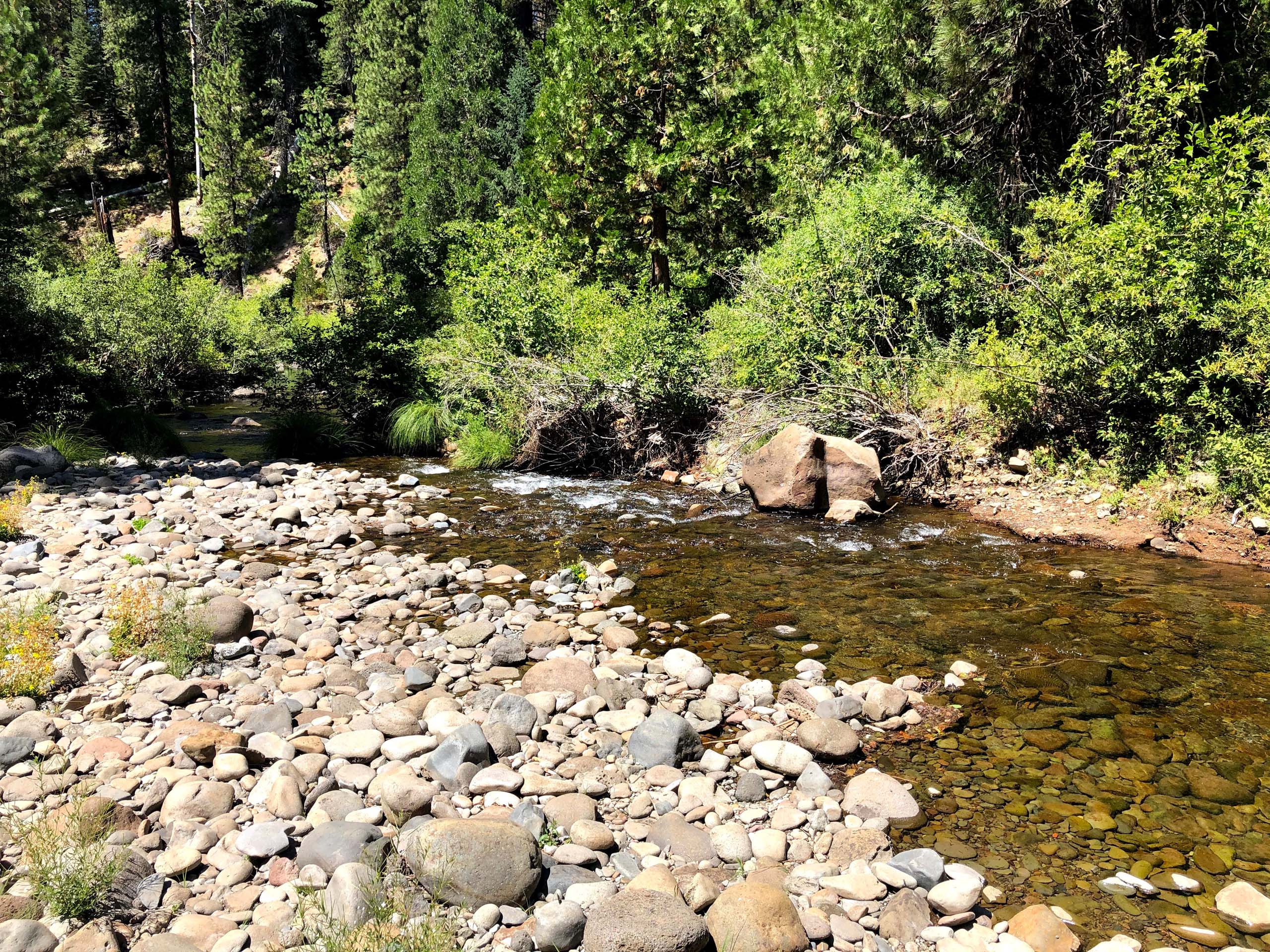
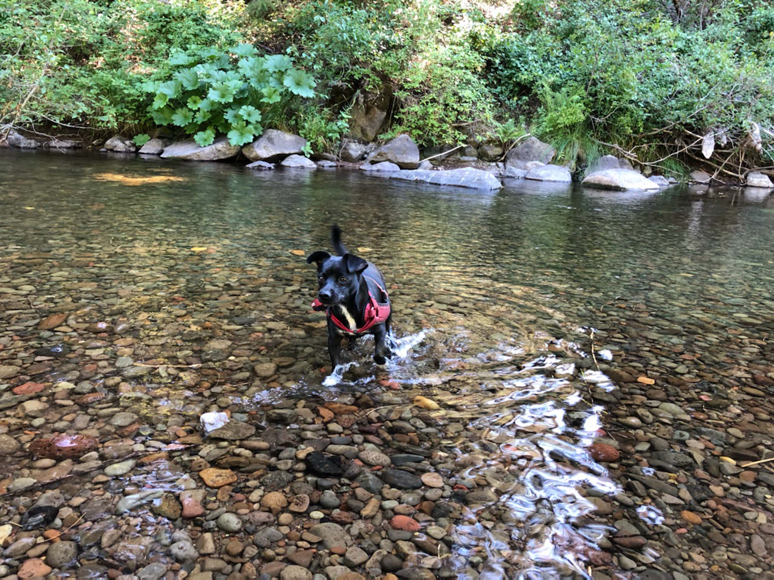
My family and I decided to do an easy out-and-back hike to the primitive (and comically named) Nitwit Campground, a roundtrip distance of 5 miles. Not a soul did we see on this section of the trail, which is well shaded and mostly stays within sight of the McCloud River.
Flowering plants included western mountain aster, Douglas’ spiraea, Indian paintbrush, wild mint, coyote mint, and California goldenrod. Those in fruit included pinedrops, snowberry, thimbleberry, pipsissewa, beaked hazelnut, and western rattlesnake plantain.
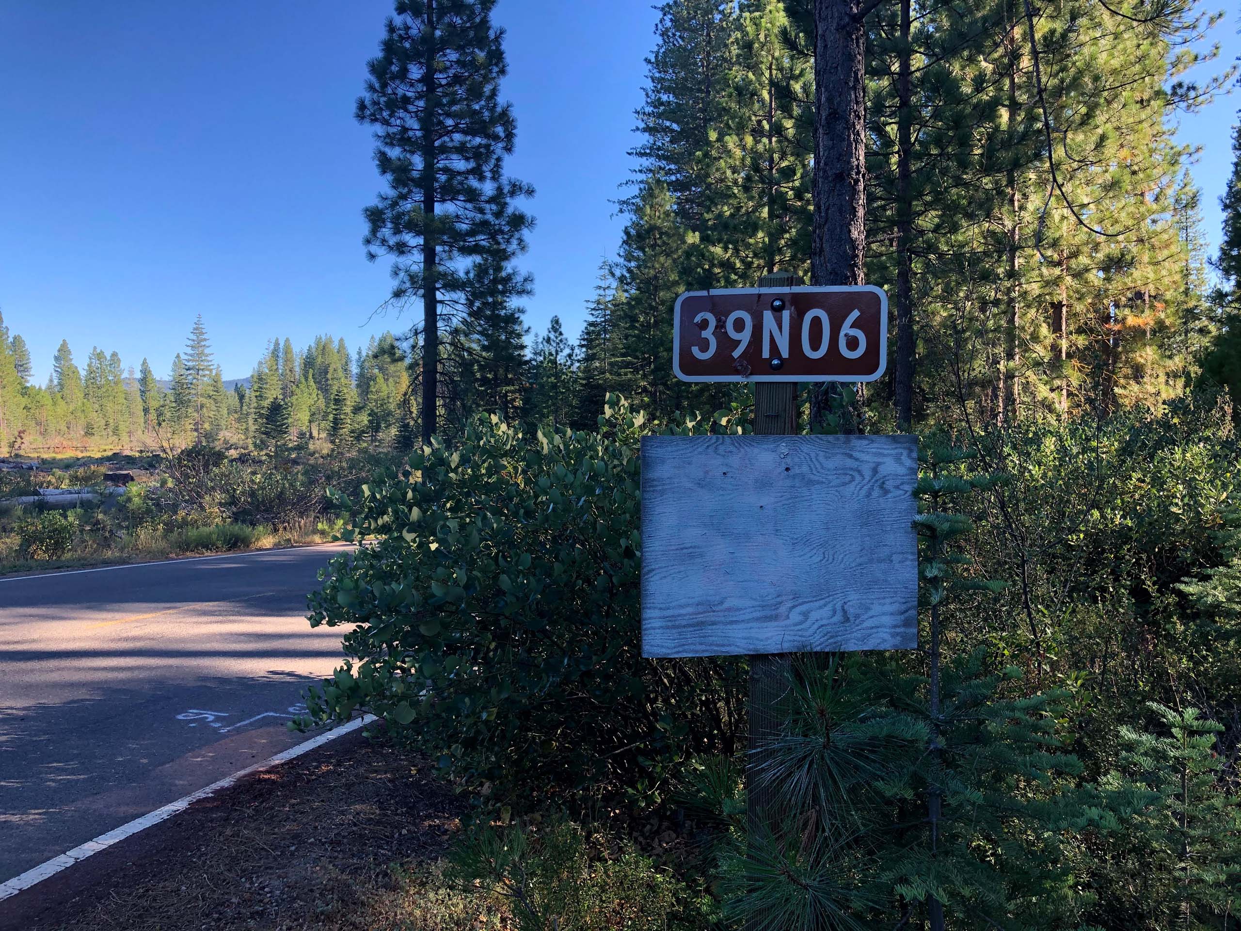
Finding the Algoma Campground trailhead can be a bit tricky. After taking the CA Highway 89 exit on I-5, proceed to the intersection of Squaw Valley Road and Highway 89, near downtown McCloud. Continue on Highway 89 for 13.4 miles before turning right (south) onto Forest Service Road 39N06. Once you’re on Road 39N06, drive 0.75 miles before crossing a bridge to find Algoma Campground.
To find the McCloud River Trail, walk back over the bridge and head downstream. There is a vault toilet at the campground but no drinking water is available. –Chris Harvey
The following slideshow features photos taken on the McCloud River Trail, on August 13, 2020. All photos by Chris Harvey unless otherwise noted.


