
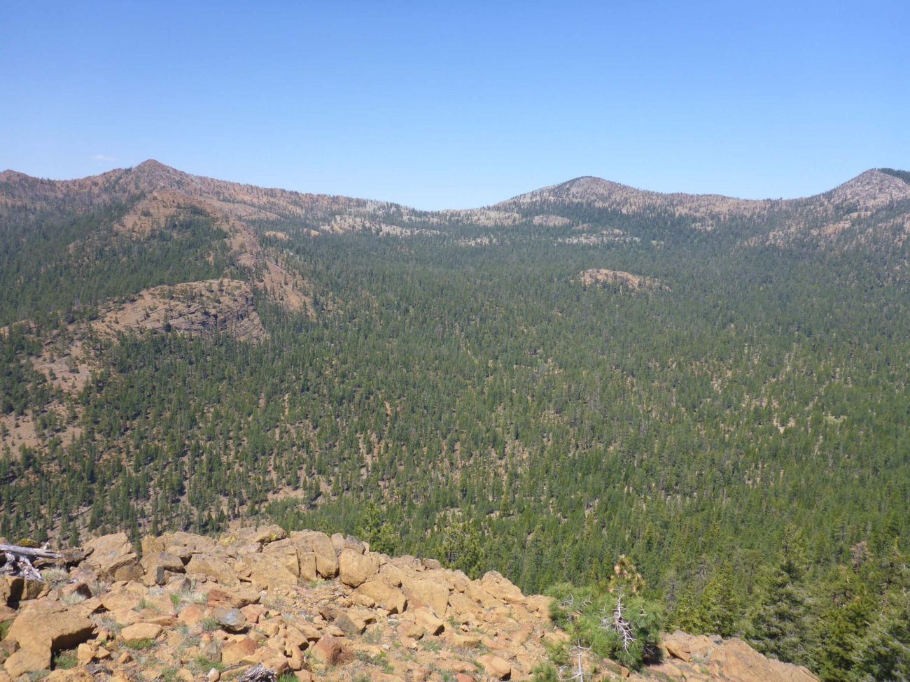
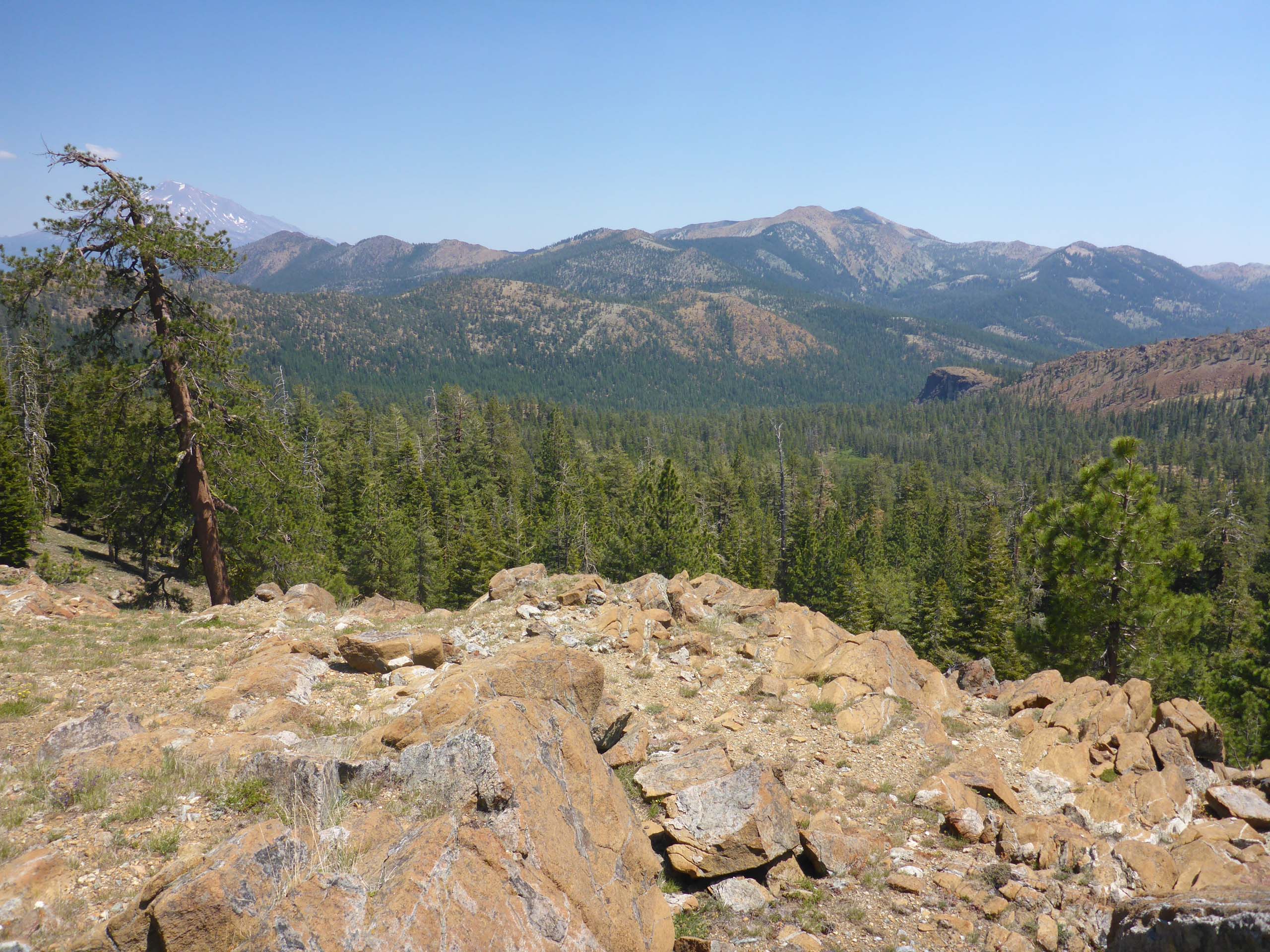
For Father’s Day and the Summer Solstice, we tackled something Don’s been wanting to do for years: hike to the pass south of South China Mountain, above the Pacific Crest Trail (PCT) just northwest of Cement Bluff.
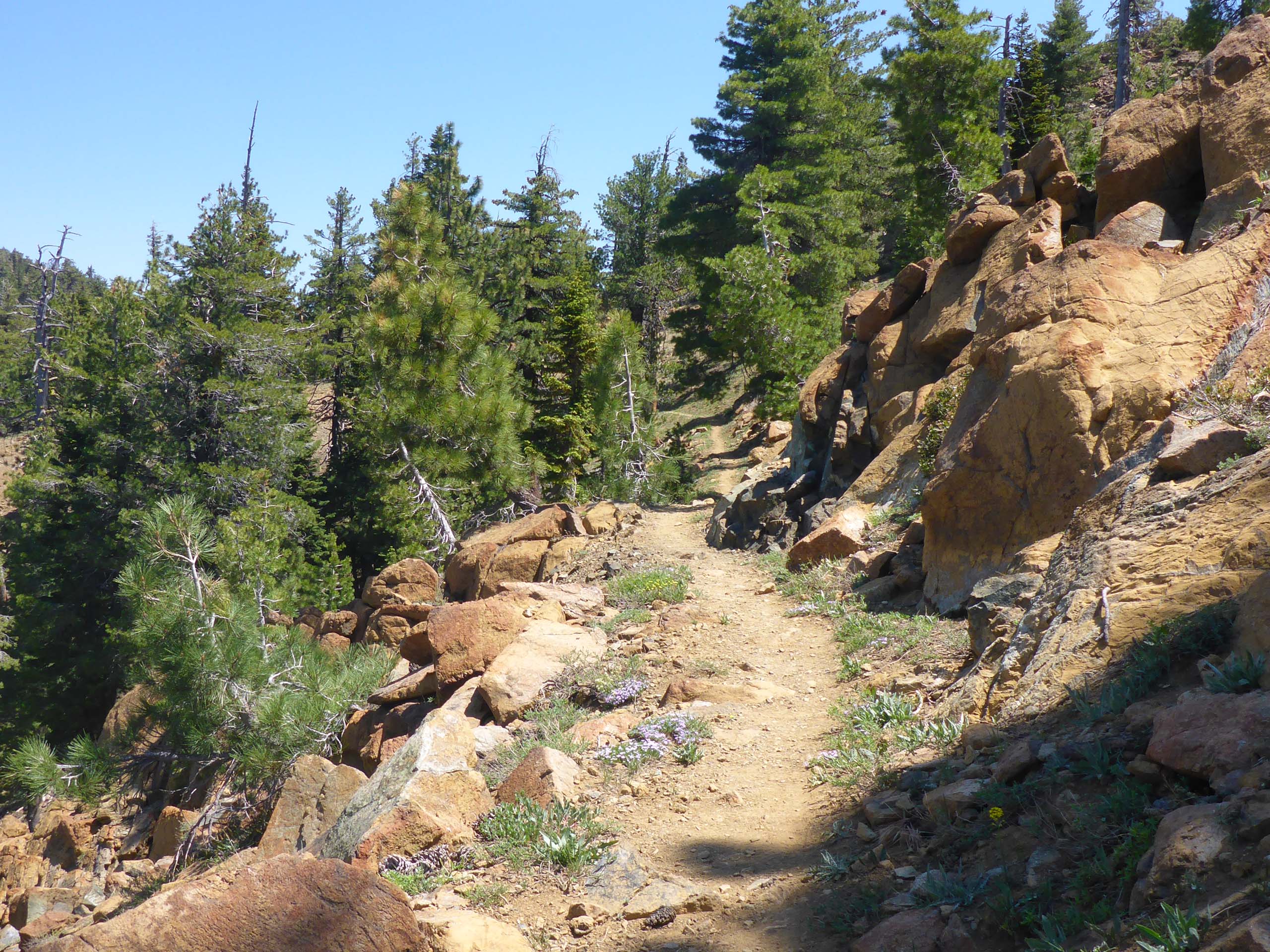
We wrote up the hike on the PCT to Cement Bluff last year (see Cement Bluff, June 28, 2020) and, if possible, the blooms this year were even more abundant. And of every color in the rainbow! There were purple patches of pale Pringle’s phacelia overtopped intermittently by deep purple larkspur; and hillsides of the same-hued red of Indian paintbrush and scarlet gilia. Blue flax, pink checkerboom, yellow Mt. Eddy lupine, white sandwort… the diversity on this trail is amazing! And we want to stress that one doesn’t have to hike far to see an incredible number of species. Within the first mile or two, you will see dozens of beauties in bloom. In fact, even if you stay within sight of your car, you could easily be satiated by the number of flowering species that can be found on the exposed gravelly terrain right at the beginning of the trail. In other words, this trail has something for everyone’s hiking ability!
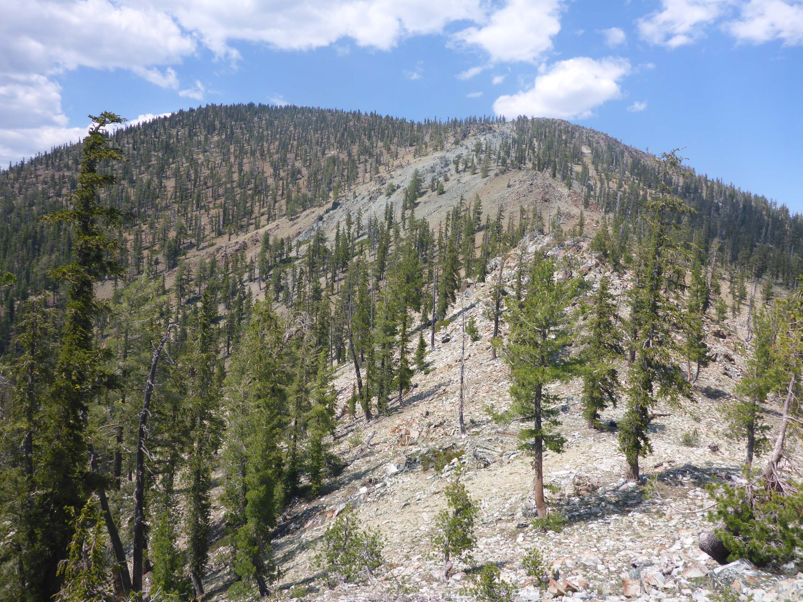
For the more adventurous, there is an old, mostly abandoned trail that intersects the PCT at the meadow, about 2/3 of the way to Cement Bluff, that will take you to High Camp Pass. It’s about 0.75 mile long. Finding this trail is easy; staying on it… not so easy! We lost the trail on the way up, and ended up scrambling to the pass, where the trail once again becomes evident.
Coming down, we realized that the trail is actually vaguely marked with axe blazes (the “i” axed into conifers), cairns, sawn logs, and flagging, and were able to stay on it, more or less, all the way to the PCT. It still taxes one’s trail sense, but is quite do-able, albeit very steep at the top.
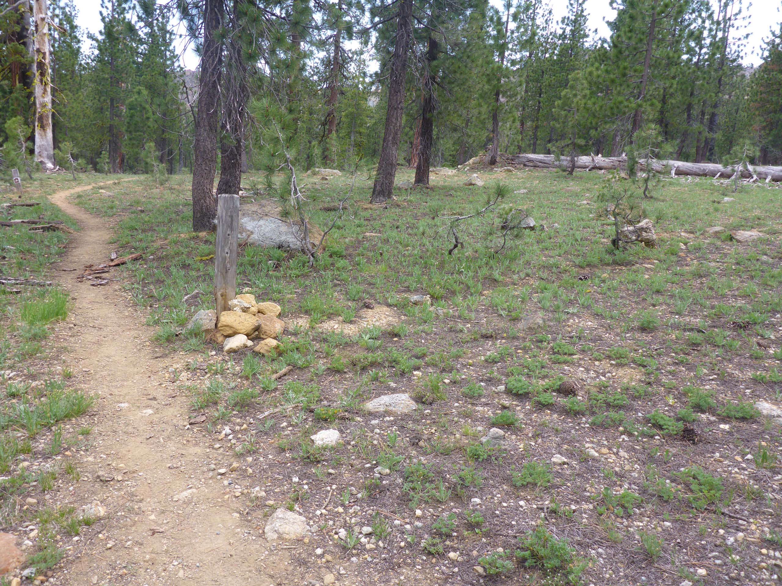
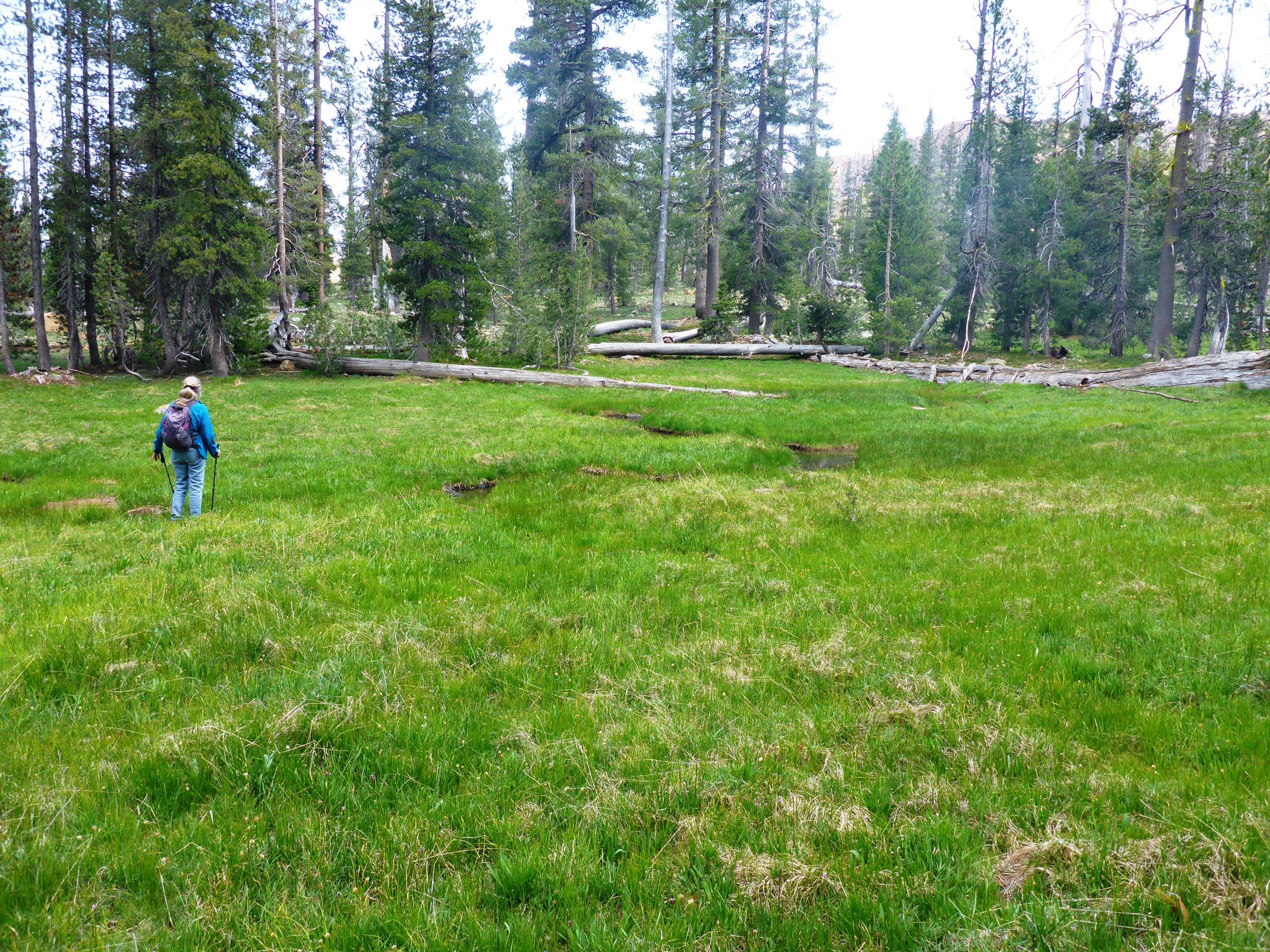
Probably the most compelling reason to attempt this trail is to get to High Camp, a stunning and rather large meadow hanging about 0.25 mile below the saddle. Here grows a whole different palette of botanical beauties to marvel at. Because of the time of day (not to mention the mosquitoes!), we didn’t stay long. But we will certainly be back!
We encourage you to give this section of the PCT some consideration; we are sure you won’t regret it! For those of you still on the fence, here’s a little slideshow of just a very few of the sights you might see. All photos taken by Don Burk. Enjoy! ~Laurie & Don Burk


