
Laurie’s hip was out of commission last weekend. So, I could stay at home and be at her beck and call in the sweltering 110 ºF heat, or I could head to the high country.
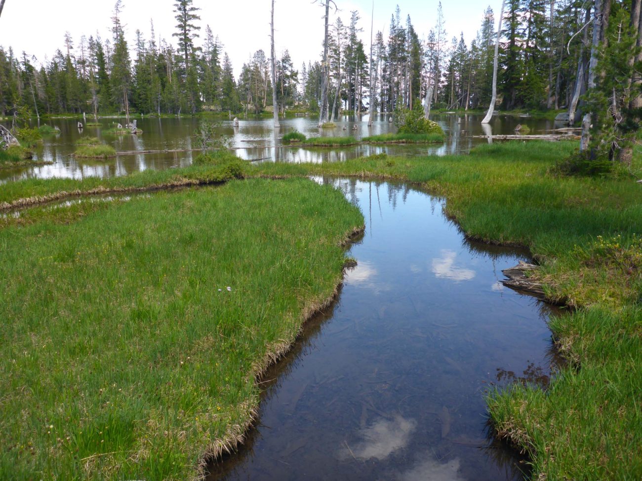
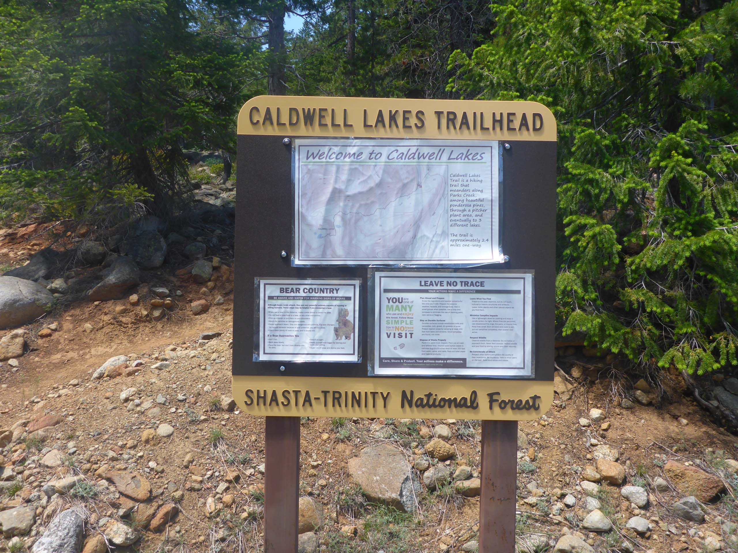
I made the right decision. I headed out on my own to Caldwell Lakes, a cluster of shallow lakes east of China Mountain, a few miles north of Mt. Eddy. Access to the lakes got a major facelift in 2010, when an old road was decommissioned and the current trail was constructed. The trail remains in great shape and is easy to follow. It starts at the 5,900-foot elevation and gains about 1,200 feet over 2.4 miles to reach Upper Caldwell Lake. The trail begins in moderately open forest, and more-or-less parallels Parks Creek, which can be frequently heard but infrequently seen from the trail. The dry forest floor provides habitat for beargrass, woolly sunflower, yarrow, western blue flax, Siskiyou milk-vetch, and other species, while rocky areas sport buckwheats, The Eddys sedum, small azure penstemon, and coyote-mint. About a half-mile into the hike, the trail crosses a wet seep providing home for a diverse array of wetland plants including pitcher plant, Siskiyou hastingsia, California bog-asphodel, white bog orchid, sparse-flowered bog orchid, and tiger lily, with the low-growing common juniper on the edges.
As one climbs higher, the trail steepens and the forest becomes denser, punctuated with rock-outcrop openings. After crossing a sizeable tributary to Parks Creek, the trail swings north of Lower Caldwell Lake. One doesn’t see the lake until well above it in elevation. Rather than dropping down to the lake, I went on up the last steep grade to Upper Caldwell Lake. The basin offers a completely different array of botanical treasures, including shrubby cinquefoil, Labrador tea, double honeysuckle, marsh marigold, Idaho blue-eyed grass, Macloskey’s violet, stream violet, western tofieldia, primrose monkeyflower, alpine shooting-star, and cotton-grass. I also found hungry mosquitoes and an incredible diversity of incessant flies—house flies, robber flies, snake flies, in-your-face flies…
After a very quick lunch, I circumnavigated the upper lake and headed down to the lower lake, where I found the last blooms of mahala mat, and some gorgeous displays of mountain-pride. By the time I got back to the trailhead, I had tallied some 65 different species in bloom, a few of which are featured in the slideshow at the end of this article. And not another person was on the trail or at the lakes!
Access: To get to the Caldwell Lakes Trailhead, take the Edgewood/Gazelle exit off Interstate 5 (north of Weed) and head west about 0.1 mile to Old Highway 99. Proceed northwest about 0.4 miles to Stewart Springs Road; take this road about 4 miles to its 90-degree turn on to Forest Route 42N17, a mostly one-lane paved road. After another ±5.3 miles, the paved road curves over Parks Creek and a dirt road heads up the slope on the right side of the creek. There is a nice parking space adjacent to the creek, but we typically see campers stationed there. If you are in a low-clearance vehicle, drive up the dirt road a hundred feet or so to a couple of good parking spaces. If you have a high-clearance vehicle, you can drive a rough (literally!) 0.2 miles to the trailhead, which has plenty of parking and turn-around space. ~Don Burk


