
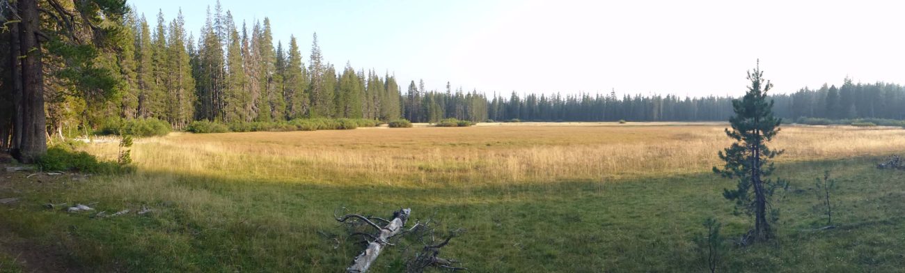
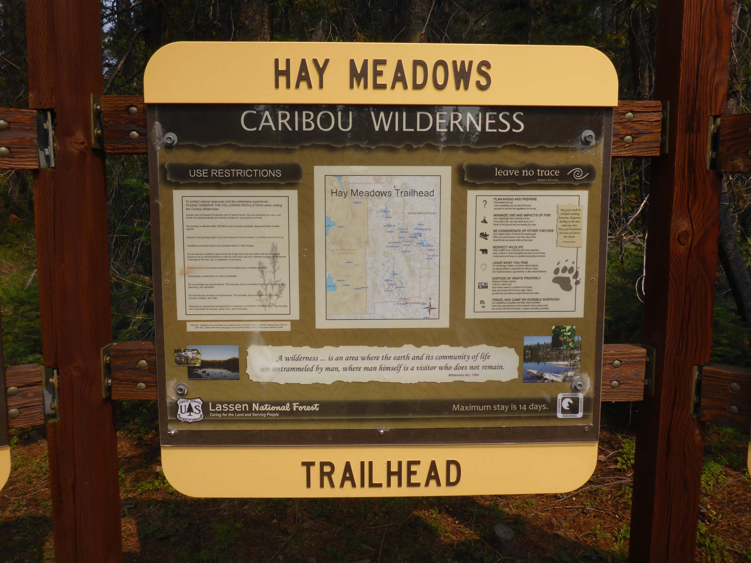
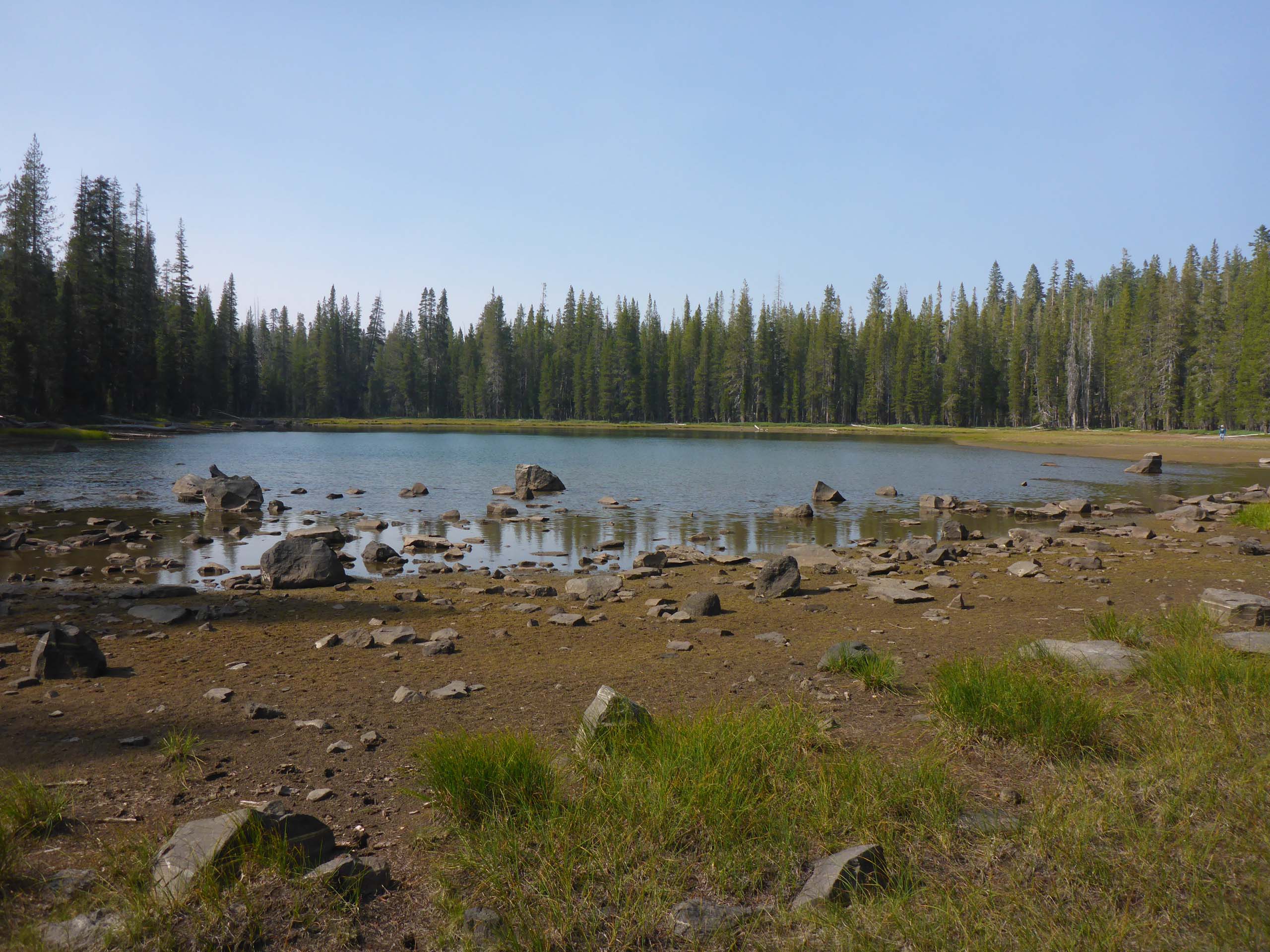
Southern access to Caribou Wilderness trails starts at Hay Meadows Trailhead, and offers several hiking-loop options, all of which pass by many, many lakes.
On Sunday, August 30, 2020, we hiked a “two-stick lollipop” loop, again going widdershins (counterclockwise) at the first trail junction. This trail (none of the trails in this area seem to have names) follows meadow edges for quite a way until climbing, sometimes steeply, up to Hidden Lakes. When the first Hidden Lake comes into view, hikers have the option to turn left onto trails that will lead back to the trailhead, making for the shortest of three potential loop hikes (~3 miles).
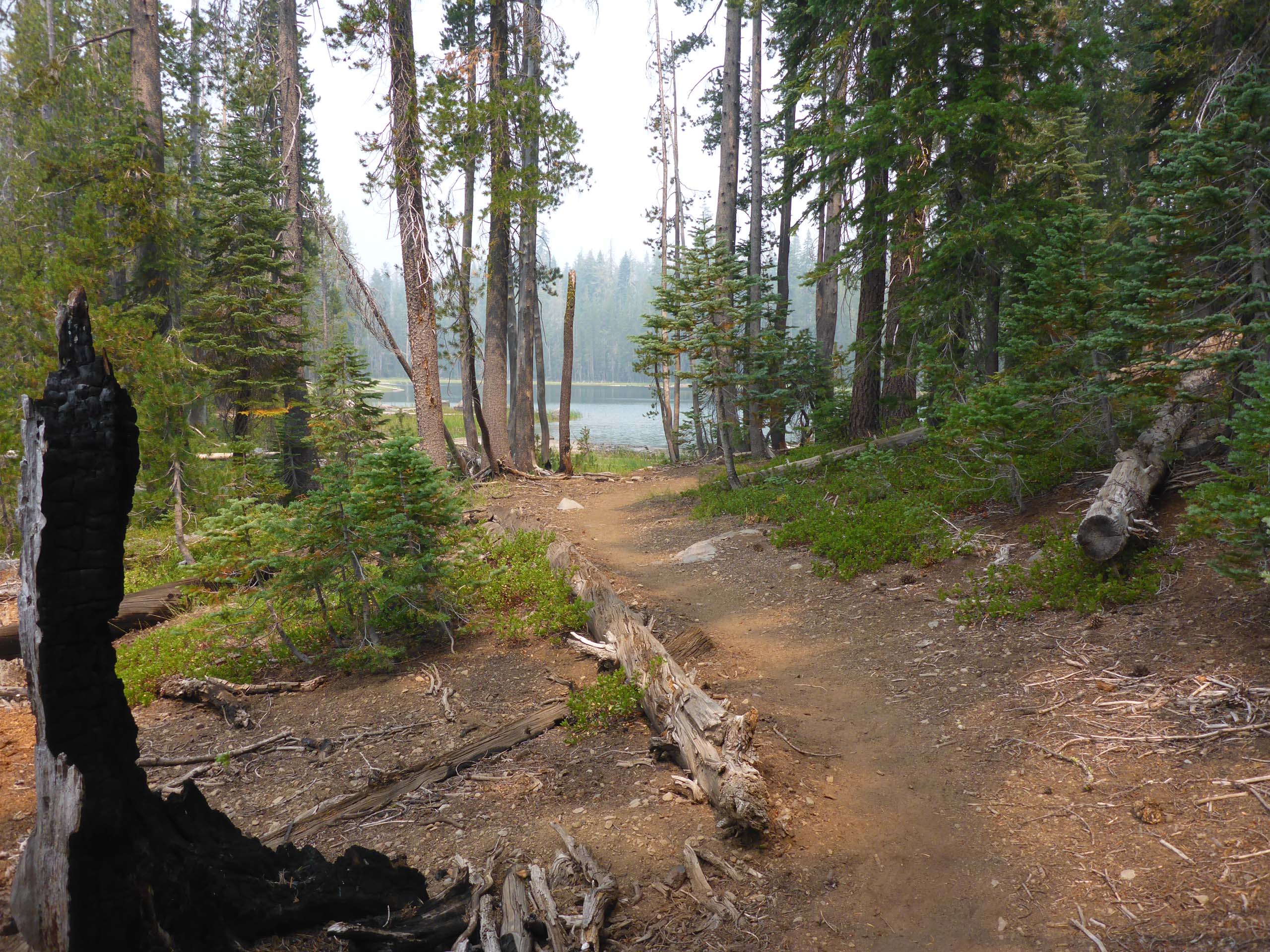
We chose to continue past all of the Hidden Lakes (we lost count after five) to the south end of Long Lake. Here, the trail intersects with another trail that leads back to the trailhead, making for a medium-length loop-hike of ~6.5 miles. Or, you can turn left at the next intersection, which is only another ~0.1 miles farther along, to complete what is known as the Posey Lake Loop of 7.3 miles.
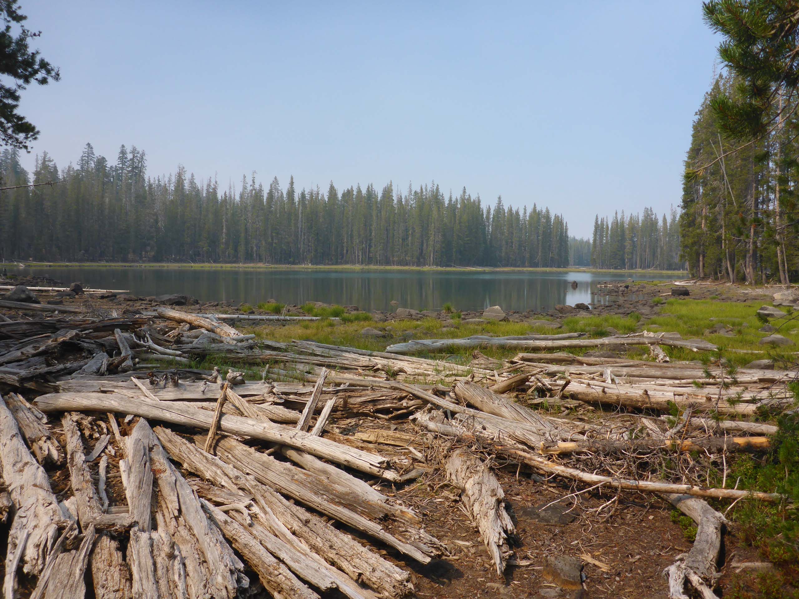
We took none of the trails, but instead continued north along the shore of Long Lake, as far as an unnamed lake at the 6950-foot elevation (which we call Lake 6950), before turning back and taking the middle trail back to the trailhead for a ~9-mile hike.
While this hike is something we would do simply for fun, we have an ulterior motive to our hikes in the Caribou Wilderness. For some years now, we have been doing volunteer work for the Department of Fish and Wildlife’s endangered red fox monitoring program. We visit their wildlife camera sites and check camera batteries, switch out camera memory chips, and add fox lure to the sites, as well as collect any likely fox scat we come across on the trail. It’s been a lot of fun, especially when we get home and take a look at what was caught on camera!
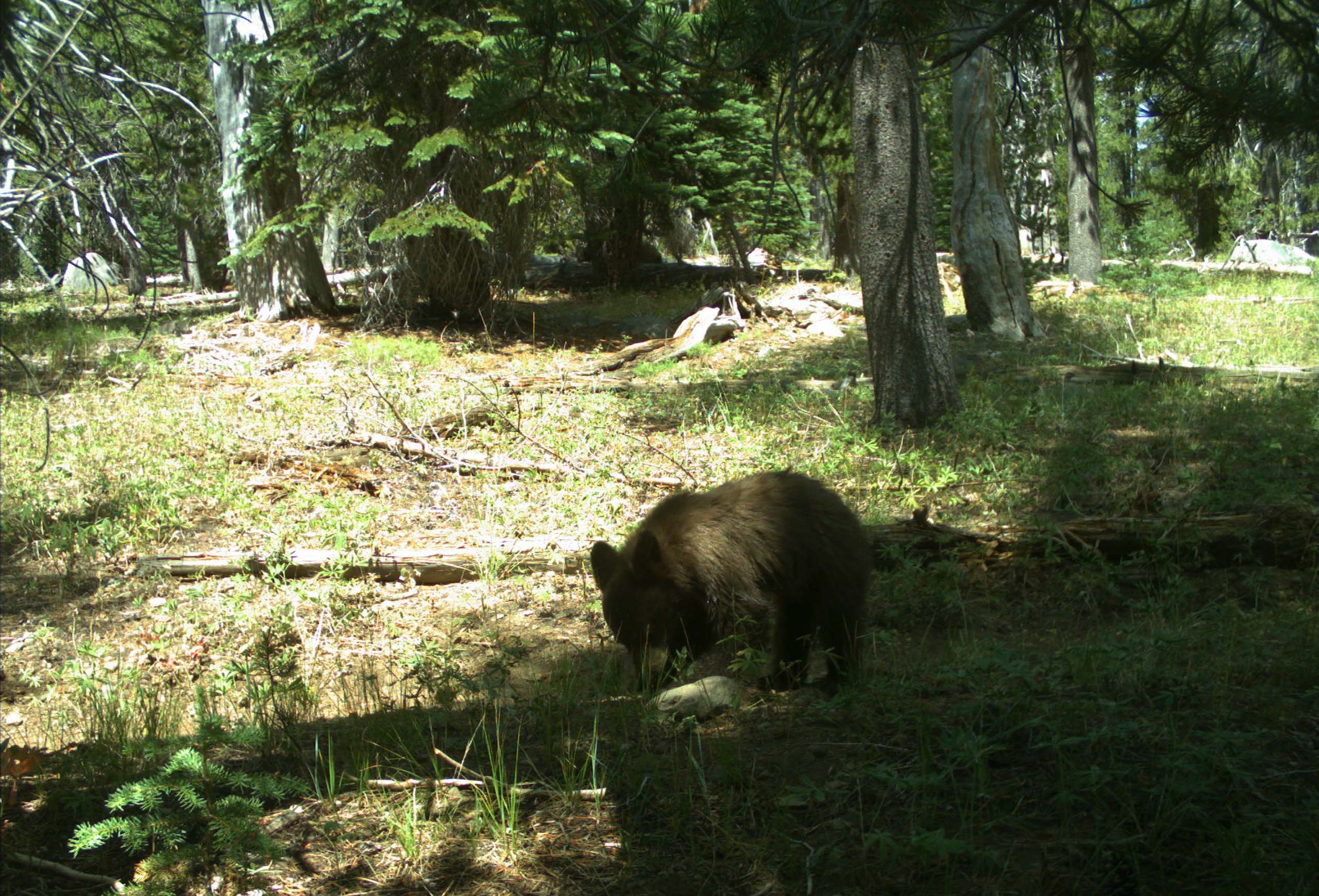
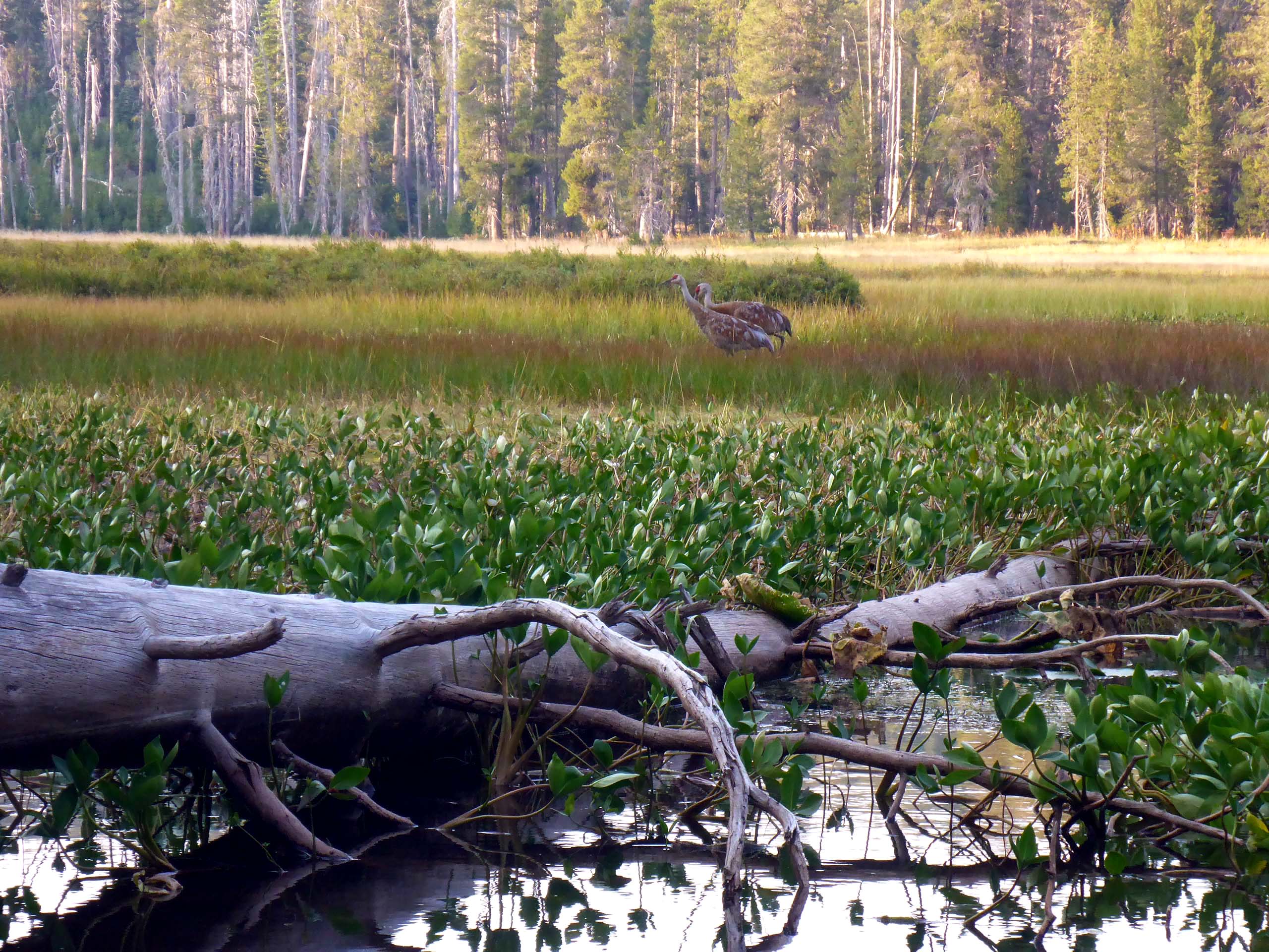
We thought that this particular hike was especially fun this year, due to the number of interesting finds, both floral and faunal. We found leeches in one of the little unnamed lakes! They were dead, but we didn’t know there were leeches in these lakes. We also came across a dead juvenile Cooper’s hawk. No clue how it met its demise, poor thing—very pretty markings. We saw a garter snake with an all-black head, lots of tree frogs, deer, and sandhill cranes in the meadows. All this on top of the usual birds, rodents, and insects—a very busy wildlife outing!
To get to this trailhead, we take Highway 36 past Chester to A13, turn north onto A13 and follow the signs to Caribou Trailheads. Hay Meadows trailhead is ~11 miles from the first turnoff, on mostly paved, good road. It does become quite pot-holed and has sections that are all gravel toward the end, but in general it is a good road that is well signed. (Click here for some great maps by Chico Hiking Association!) Trails are mostly good, with a nice footbed, although we have noted a number of downed trees that have yet to be cleared (making us appreciate trail maintenance crews all the more!), but nothing insurmountable. Posey Lake Loop has an elevation gain of ~700 feet, making for a hike of moderate difficulty.
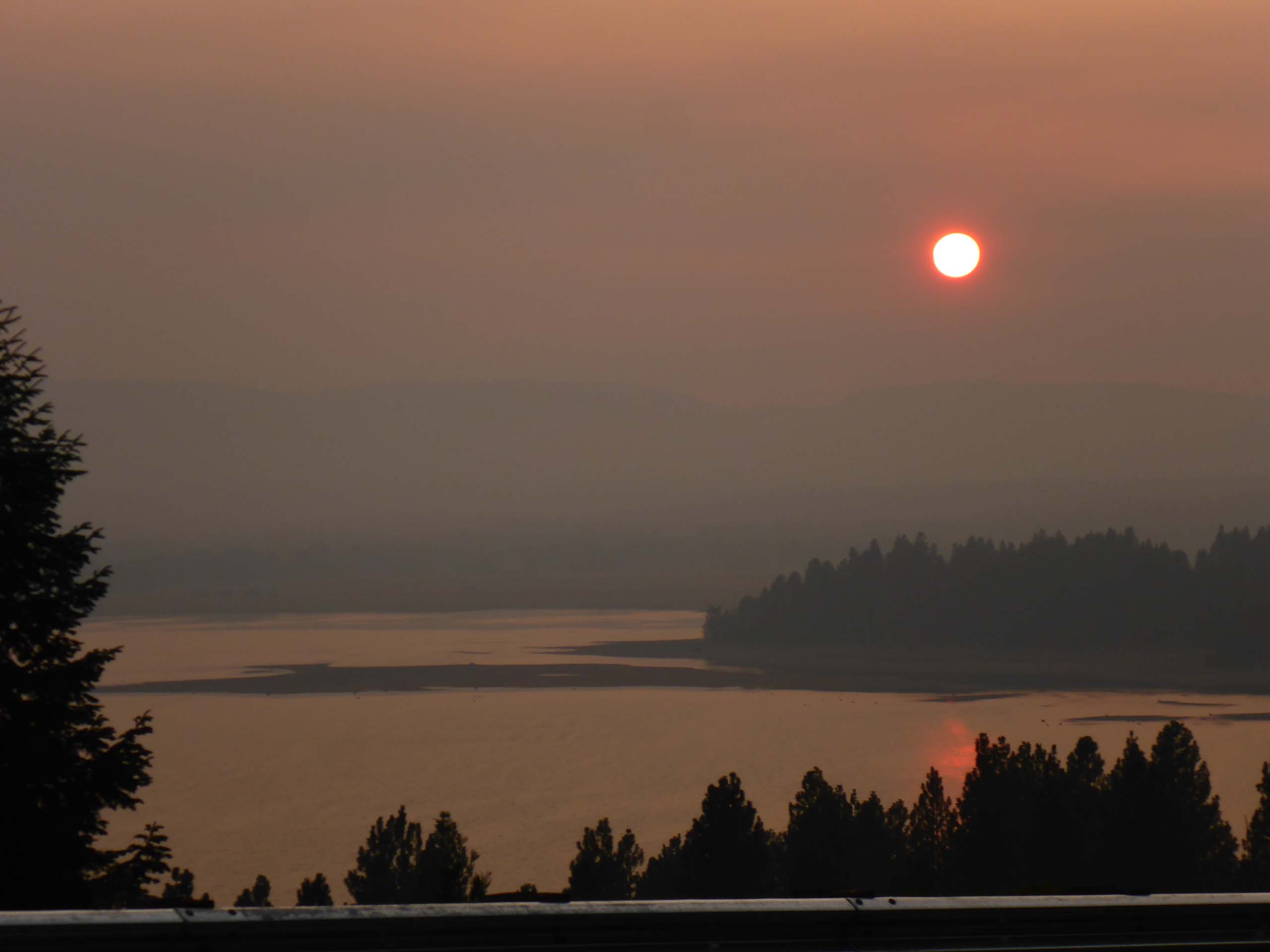
Here’s a slide show of some of the cool things we saw on this very fun hike. All photos by Don Burk. Enjoy! -Laurie & Don Burk


