
Rim and Cypress lakes are two of the highest-elevation lakes in the Caribou Wilderness. They can be accessed via Caribou Lake Trailhead (see Black Lake Loop). Go deasil (clockwise; turn left) at the first intersection for the shortest route. Climb another ~0.75 mile to the intersection of the ~2-mile out-and-back trail to Rim and Cypress lakes.
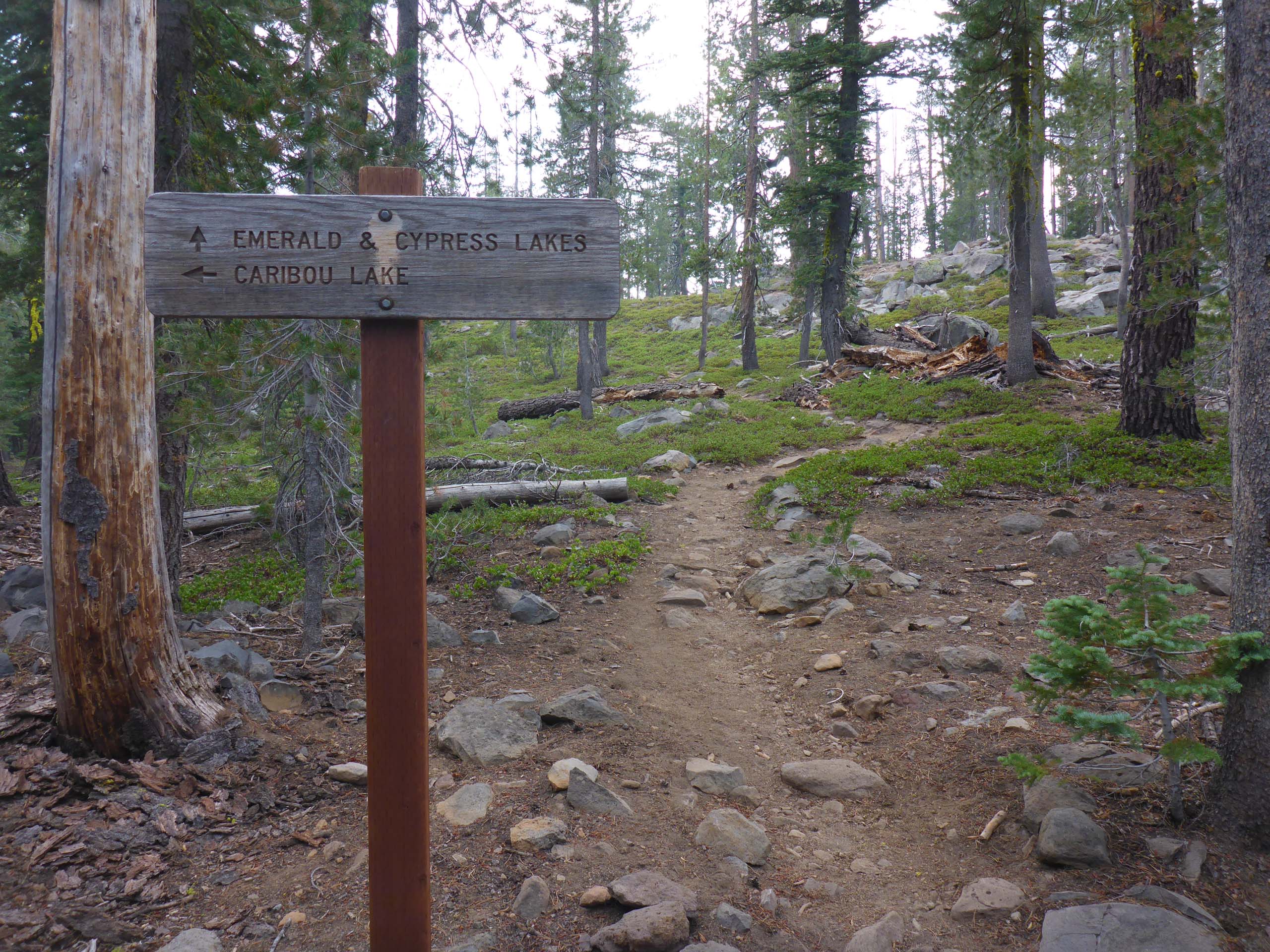
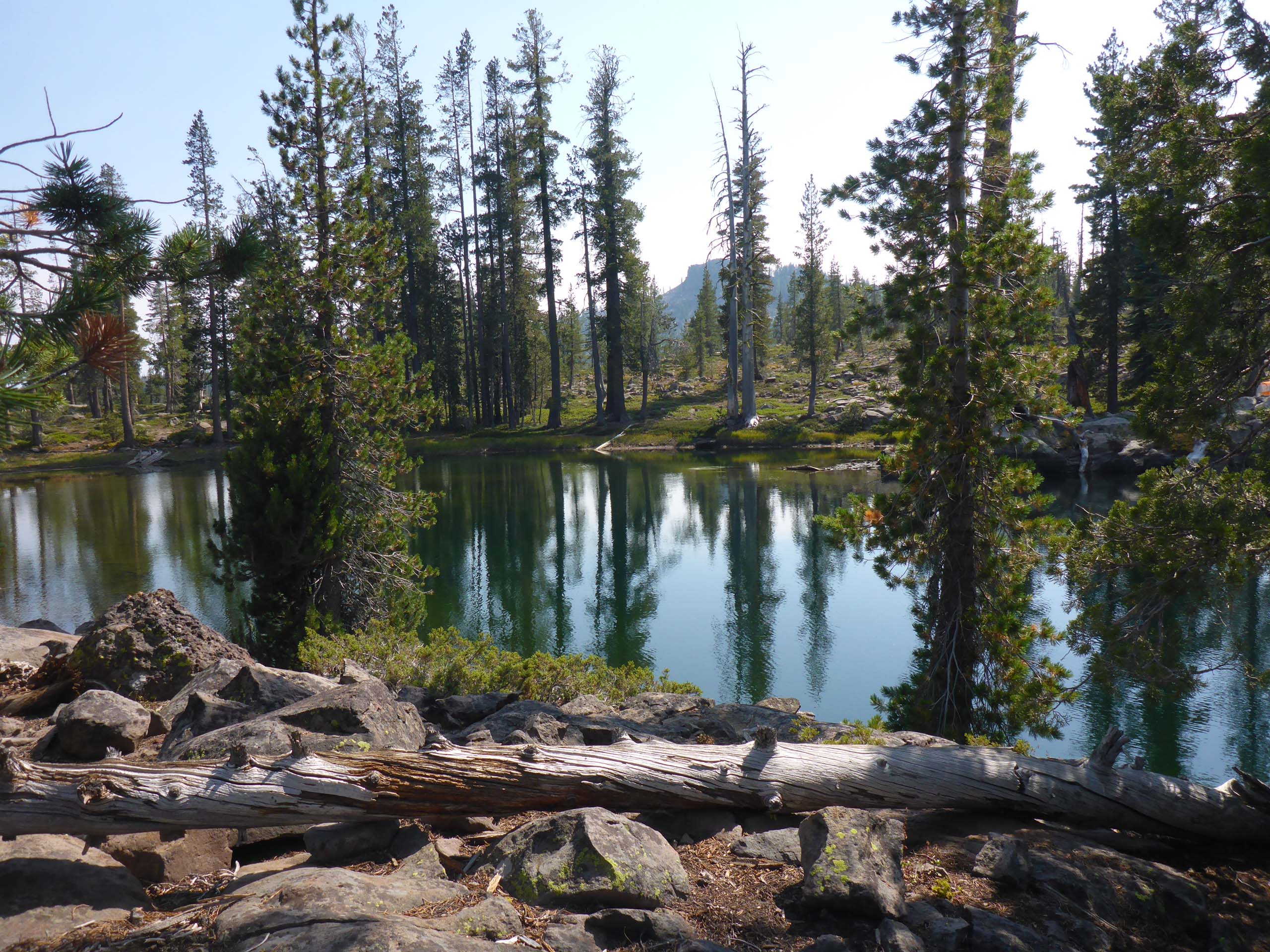
While there is no evidence of this now, this trail may have been called the Three Lakes Trail at one point. Indeed, there are three gorgeous lakes along this trail. Emerald is the first to come into view, shortly after turning onto this trail.
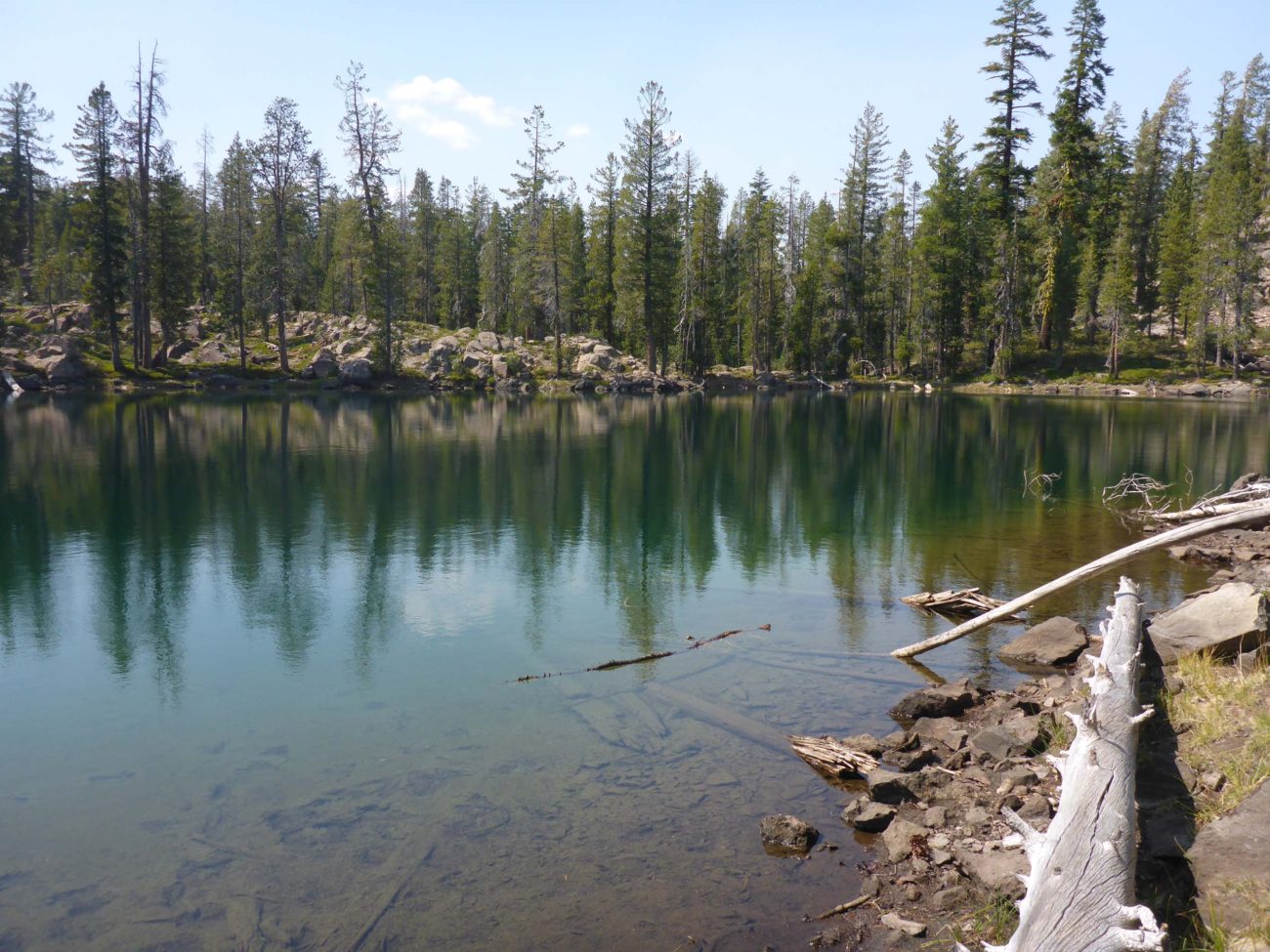
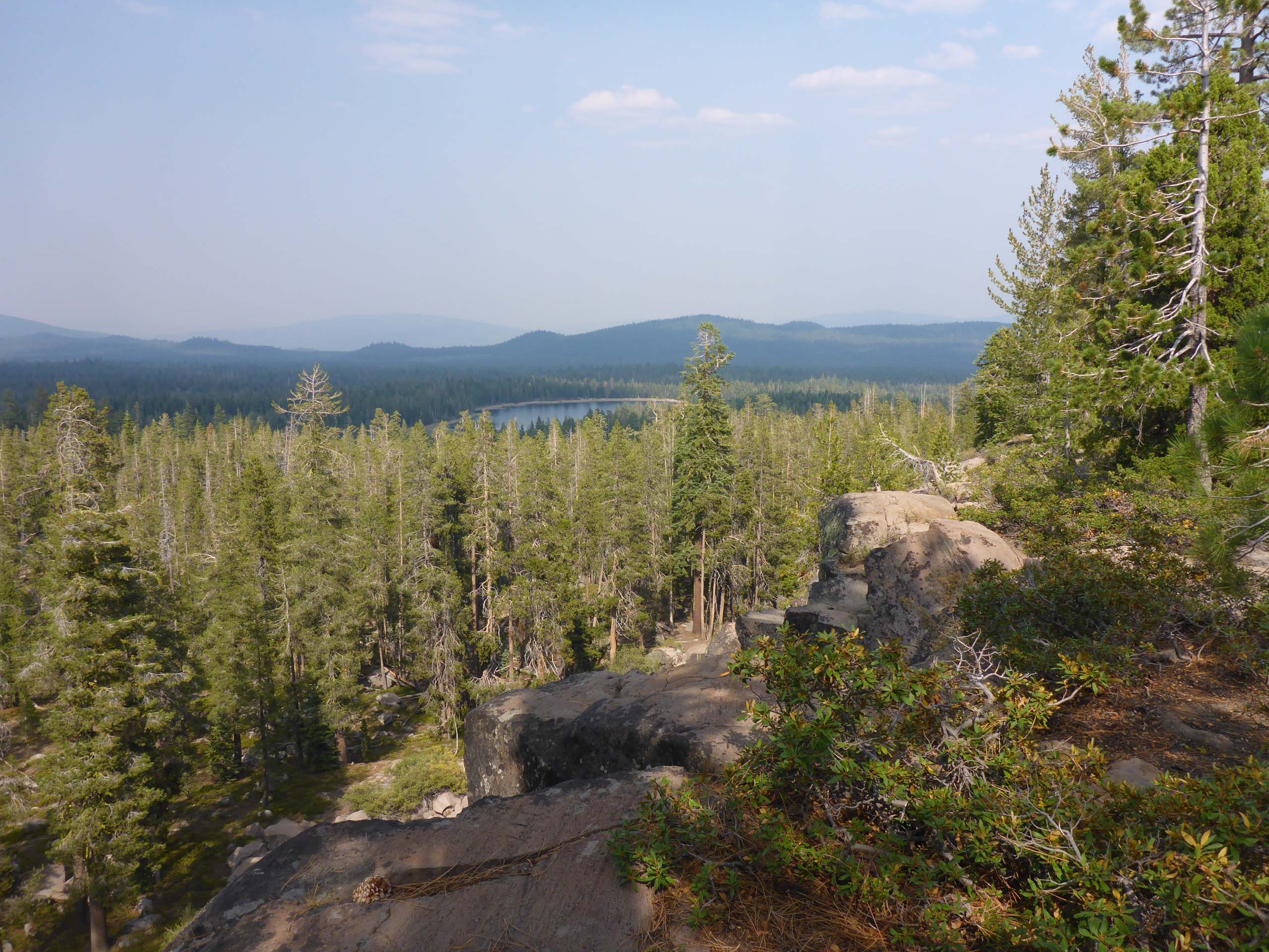
Next comes Don’s favorite—Rim Lake, at 2.7 miles from the trailhead.
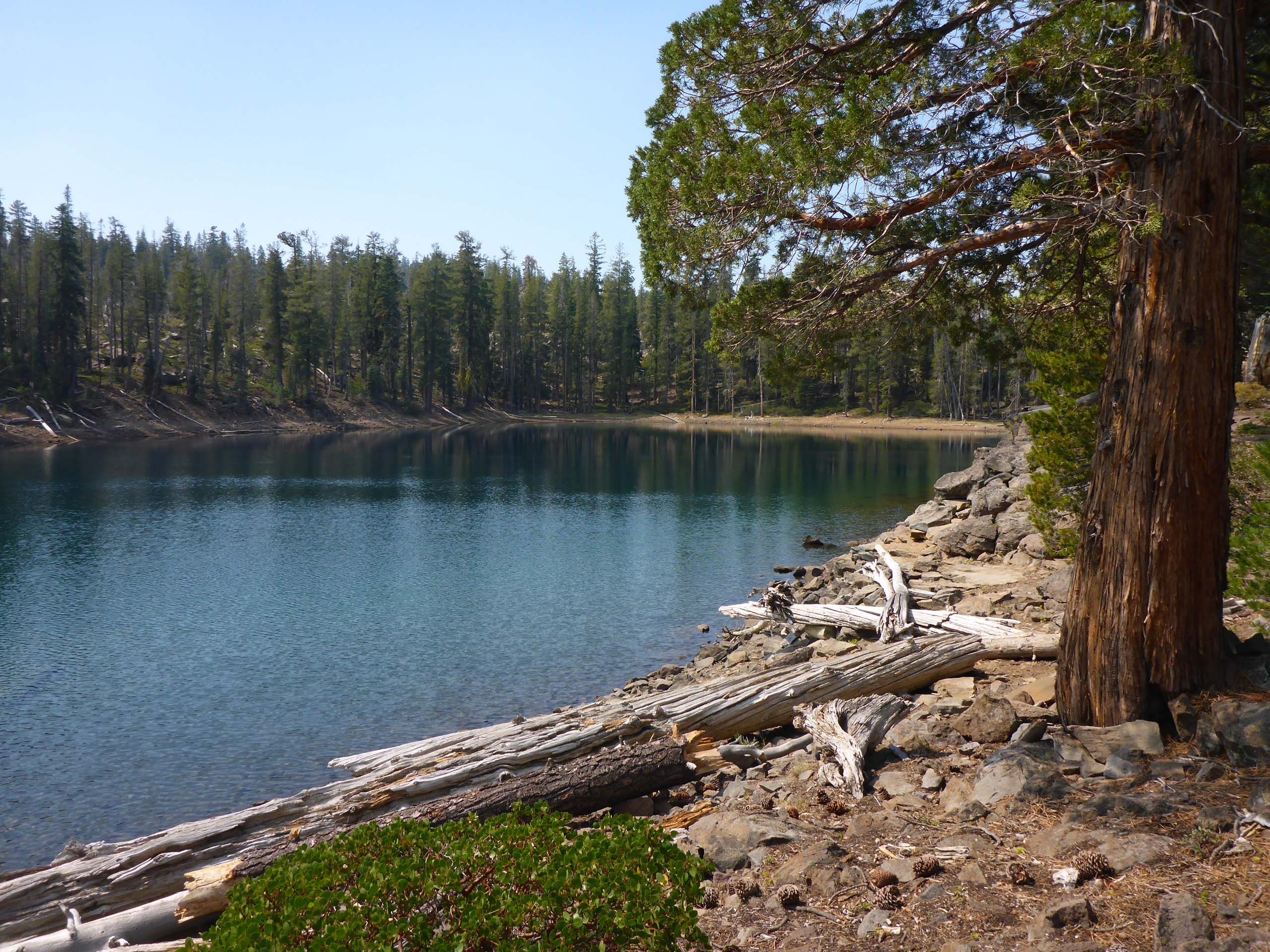
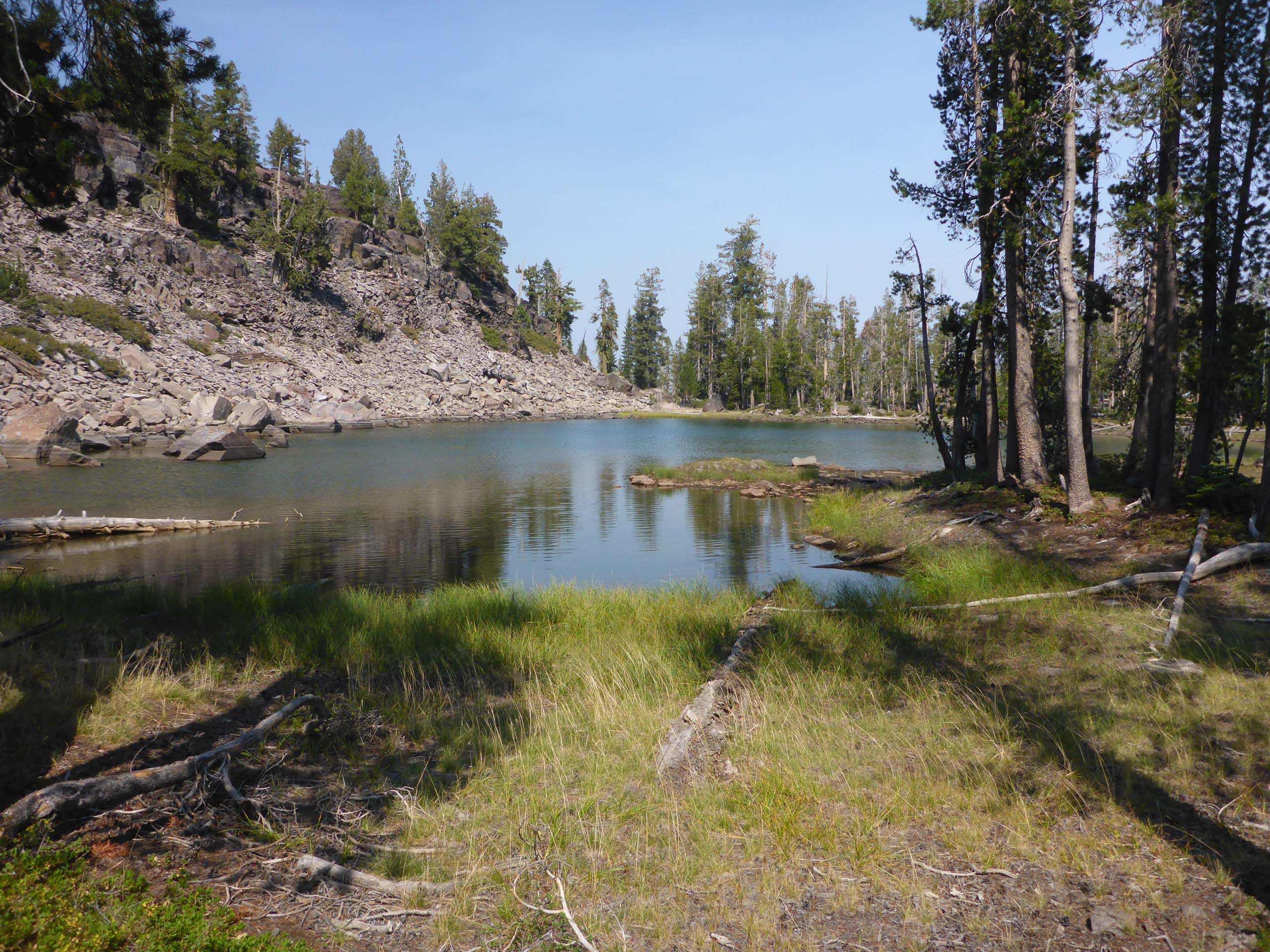
Cypress Lake is really two lakes—a north and a south—the south being the prettiest, I think. The trail peters out along the southern lake, but it is only another ~0.8 mile to the top of North Caribou peak, which is easy enough to find for those so inclined.
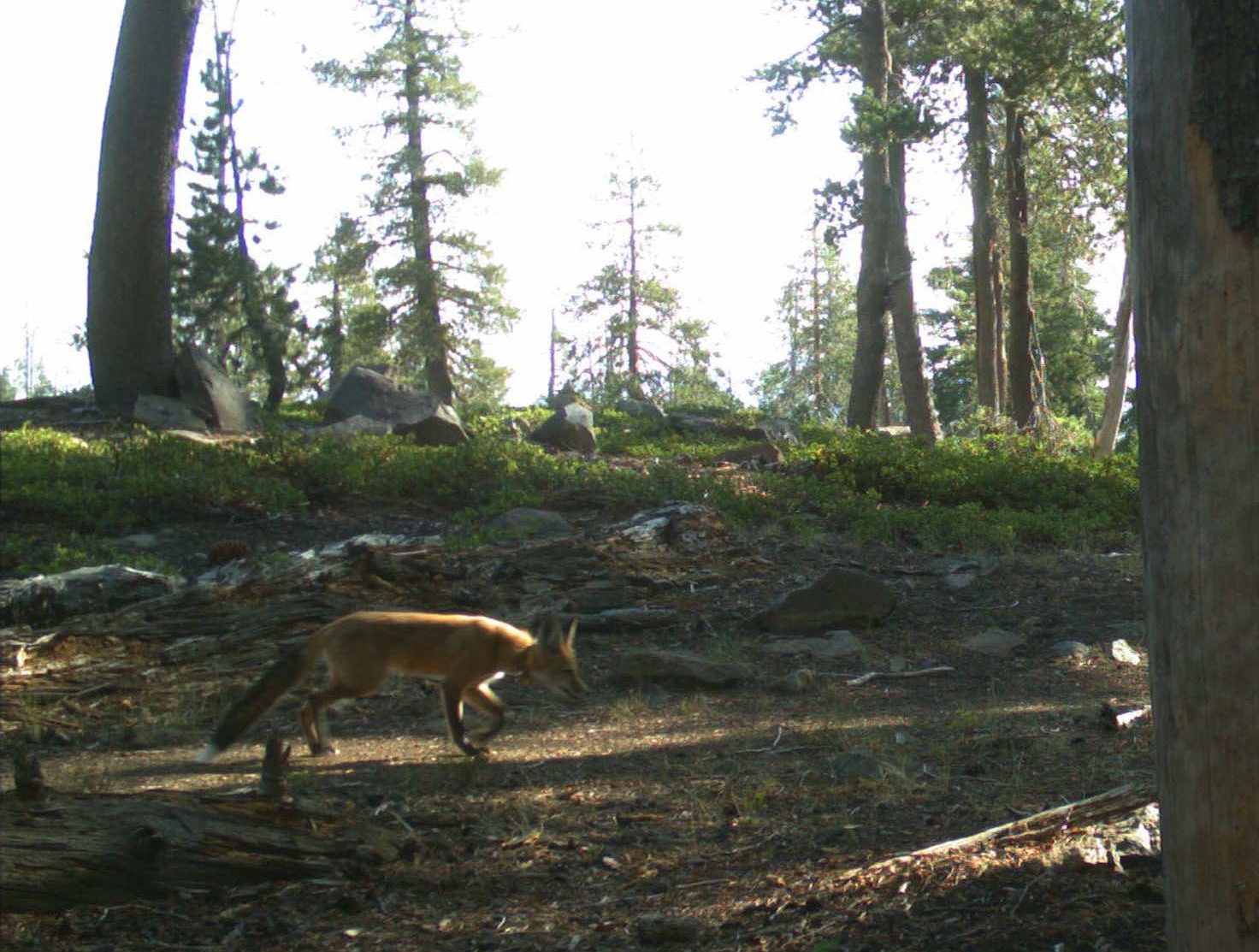
The flowers were pretty much done for the season, but we did see a few that we had yet to log this year. And the wildlife cameras caught some red foxes!
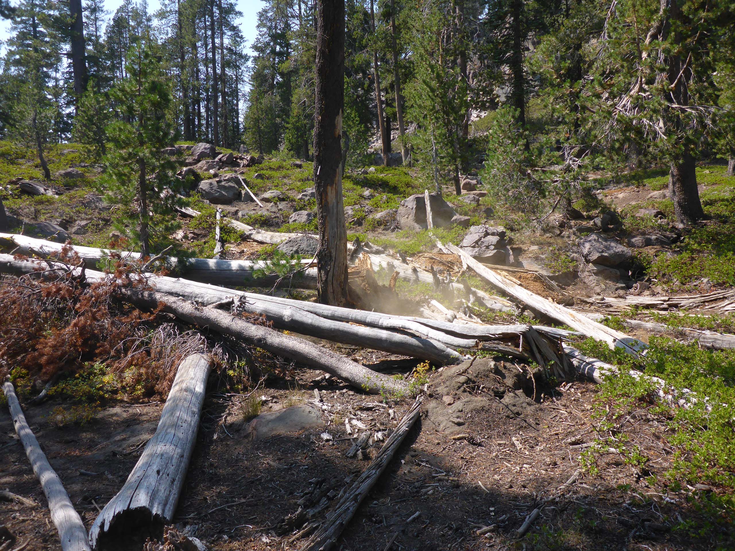
But the highlight of the hike was that we got to see something that we’ve always wanted to see: a tree falling in the forest. Well, it was a snag, to be honest, but still cool. We were servicing a wildlife camera when an ominous cracking sound began. People? Bear? Rockfall? Then it came to us: a tree about to fall! Madly looking around, we had barely spotted the correct tree before it went down. Don was disappointed that he didn’t have time to get a photo of it in mid fall.
This ~7-mile round-trip hike has an elevation gain of ~700 feet and is of moderate difficulty. The nice, solid footbed of Black Lake Loop slowly erodes into a rockier trail the farther you go, sometimes making it easy to stray off of the intended trail, so a little extra attention is needed there.
Here is a short slide show of a few of the neater things that we saw on this hike. All photos by Don Burk. Enjoy! -Laurie & Don Burk


