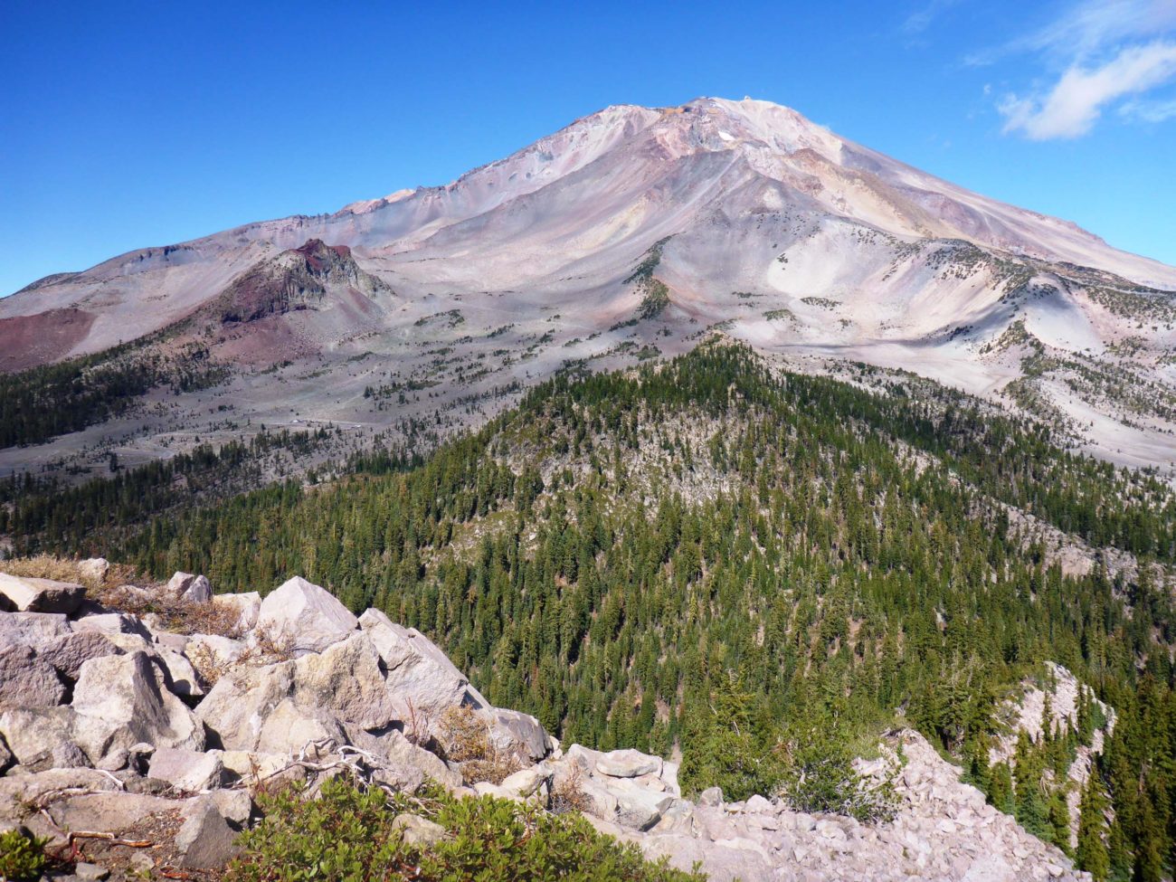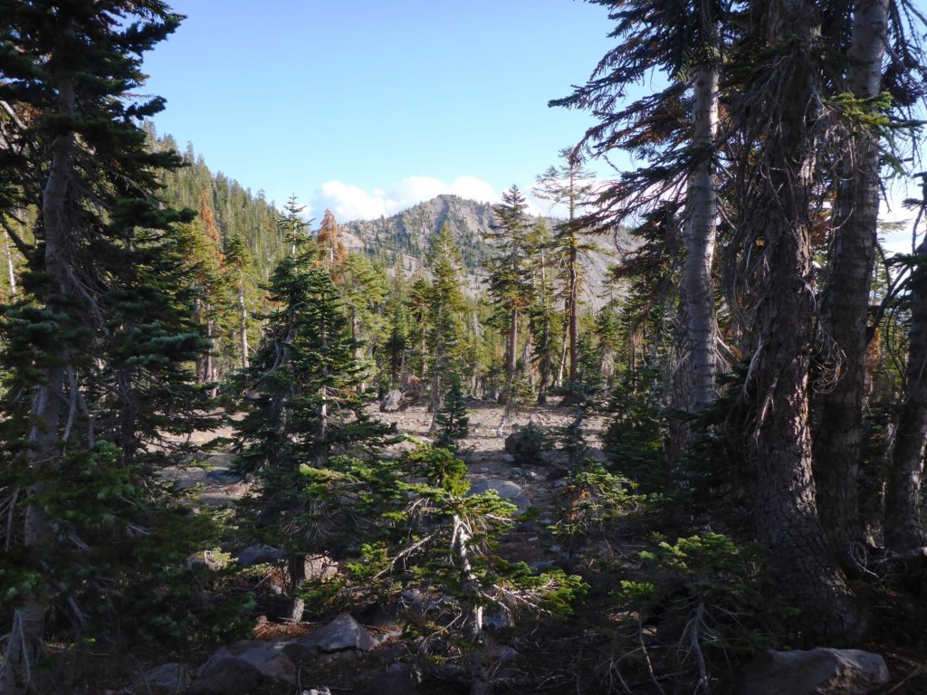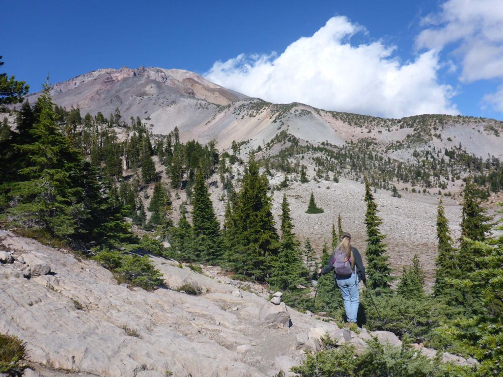
The moderately difficult hike to the top of Gray Butte, adjacent to Mount Shasta, is only ~3.2 miles round-trip and can easily be done in less than two hours, even if you’re slower than we are! Three-hundred-sixty-degree views await at the top, which were stunning on this bright blue, perfect fall day. Gray Butte Trail ascends the ~675 feet of elevation gain fairly gradually, and includes a few flat sections and a steep several-hundred-yard kicker at the end. We had never done this trail before and are very glad we finally did.

Photo by Don Burk.
Gray Butte Trailhead can be found off of Everett Memorial Highway, Mount Shasta, in the parking area for Lower Panther Meadows. Not far from the trailhead is the junction with the trail to Upper Panther Meadows. At ~0.6 miles, the trail comes to another junction—this one with a trail that connects Gray Butte Trail with South Gate Meadows Trail. On our way down from the peak, we took this connector trail, which is a less used, more rugged, not always easily discernible trail (all of my favorite characteristics in a trail!) that takes one around the nose of a slope and along the base of the distinctive Red Butte, finally connecting with South Gate Meadows Trail.

Our intention in taking this route was to check on the seed-production progress of the rare Wilkin’s harebell (Campanula wilkinsiana; see article here) found here. We were happy to find that seed capsules were still intact, although at first we were afraid that they were all empty—nothing seemed to be inside of them. Upon closer inspection, however, we were astonished to find that indeed there were seeds, only they were minuscule—less than half a millimeter in length! Mere specks; no wonder we missed them at first! While we were able to collect some seed for the CNPS rare plant seed bank, the population is too small to harvest the recommended 2,500 seeds. We will try again next year. ~Laurie & Don Burk

