
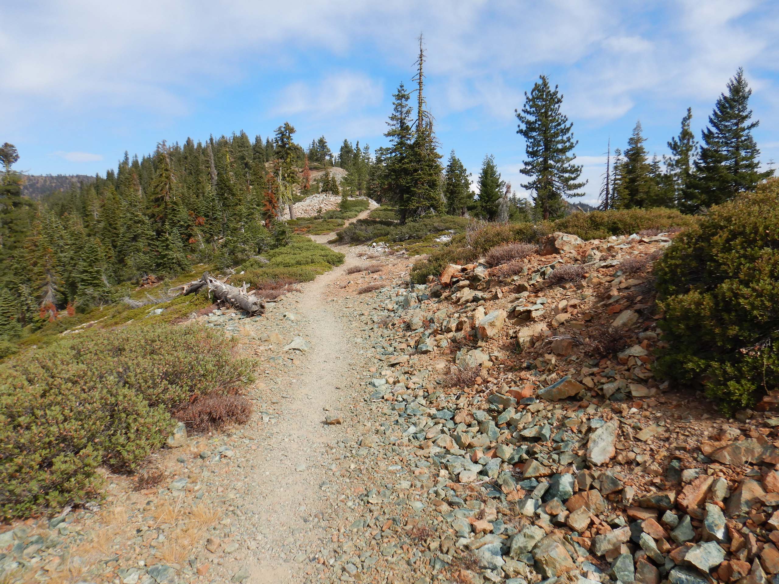
For what was most likely our last hike of the season at higher elevations, we chose to do a section of the Pacific Crest Trail (PCT), starting at Gumboot Trailhead on Mumbo Summit, Forest Road 26, outside of Mount Shasta, and hiking north. As expected, there was a dearth of blooms and berries, but the views and fresh, brisk air did not disappoint!
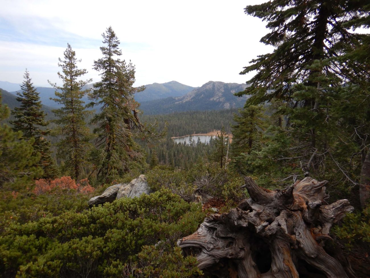
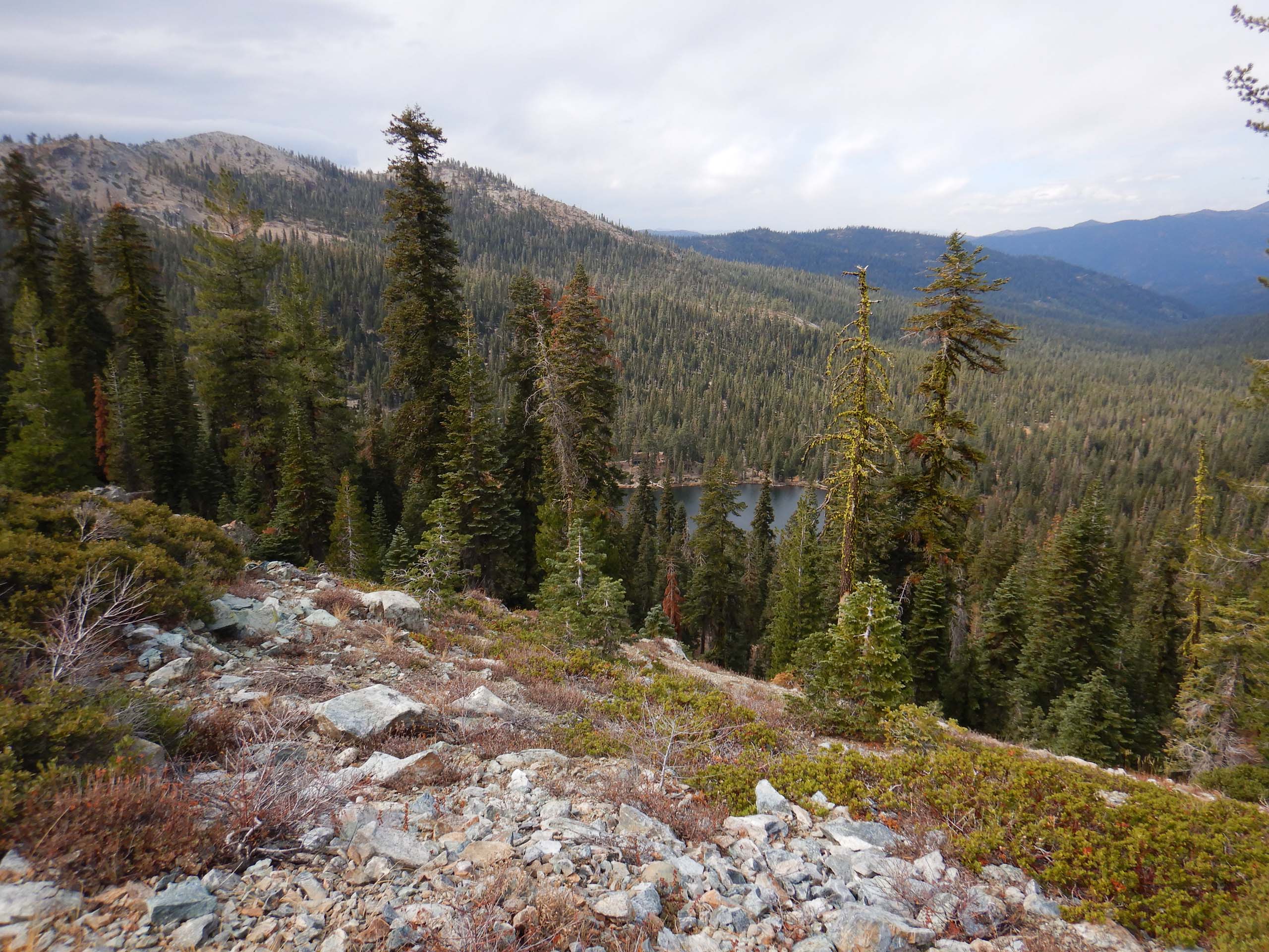
Within the first half mile, Gumboot Lake, below and to the east, comes into view. Another mile farther along, the trail pops over the Trinity Divide and the privately owned Picayune Lake comes into view far below to the west. And of course, we had great views of majestic Mount Shasta, the Trinity Alps, Mount Eddy, and surrounding peaks and valleys.
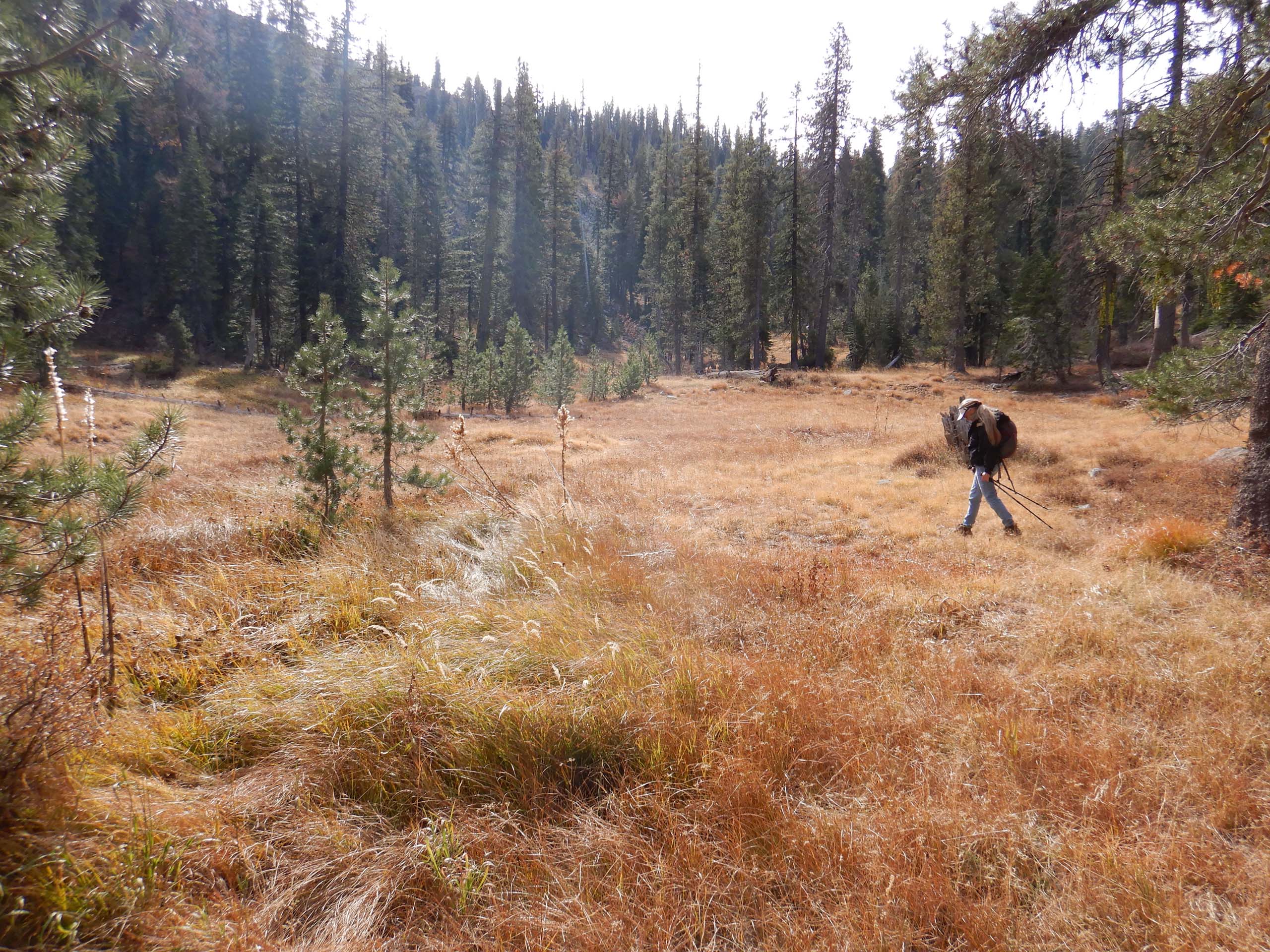
On this hike, without any particular destination in mind, we were free to explore anything that caught our attention. So when we came to a sign for a side trail to Picayune Spring, we thought, “why not?!” Three hundred very steep yards down this trail was the still-running Picayune Spring, vigorously trickling from the hillside—a bit of a surprise given this year’s drought conditions. At the spring, we could see a meadow with pitcher plants not too terribly far below, so we scrambled down and took a look. There was quite a bit more water in this wet meadow, but it was too late for blooms. By far the most interesting finds in the meadow were the pitcher plants and corn lilies gone to seed.
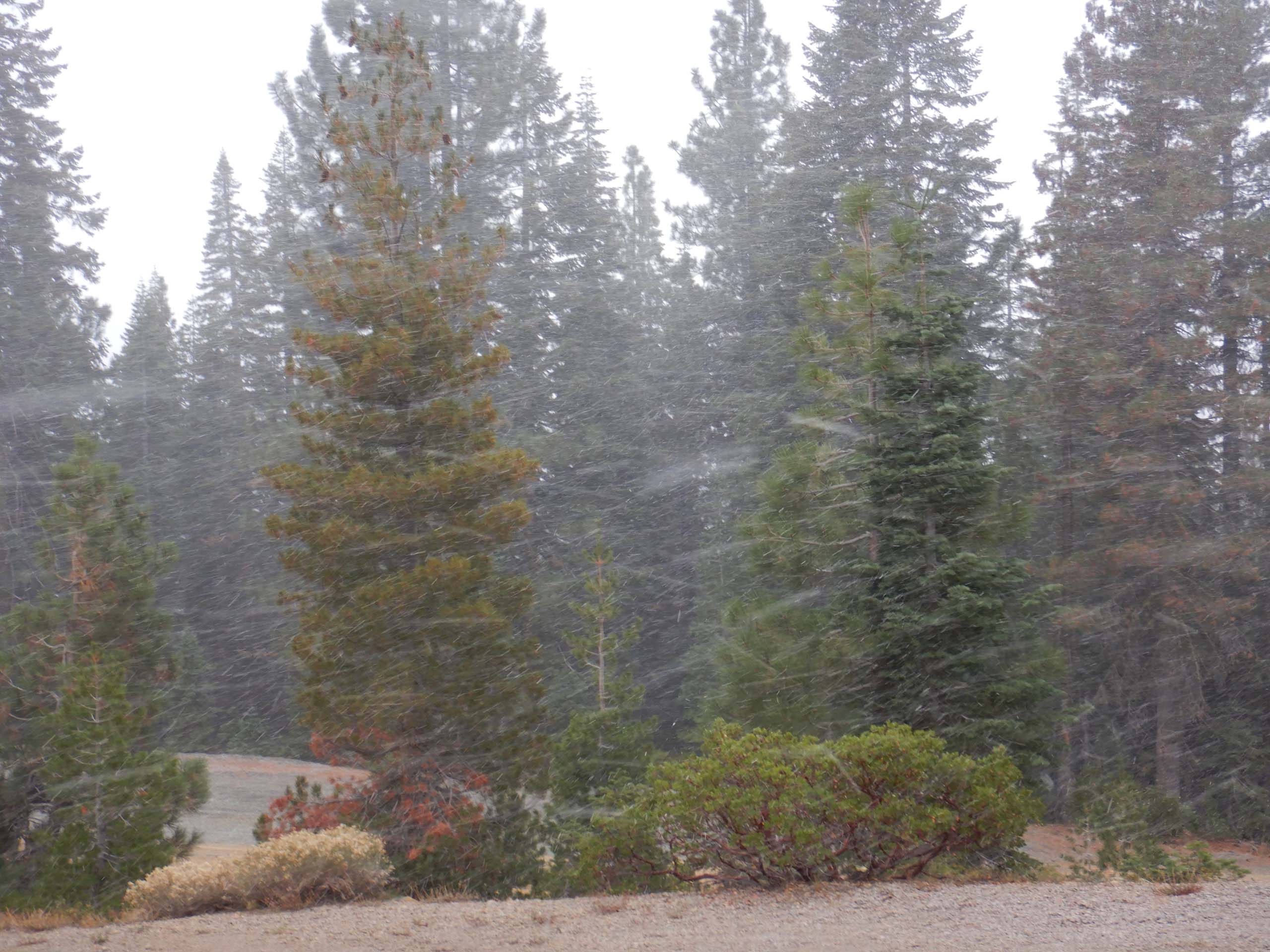
At ~2.5 miles down the trail, we came to a rocky peak that called to us, so up we went. It was here that we realized that there was weird fluffy stuff floating around in the air… snow! Wisely, we stopped for lunch and then high-tailed it out, reaching the truck just as the snow began to come down in earnest.
Mount Shasta and environs are in full-fall color right now, should you like to take a drive just to take in the scenery. Along Forest Road 26, the broad-leaved understory of the conifer forest dazzled with a gradient of hues from bright lemon yellows through to fiery reds. A sight to behold! But in terms of hiking destinations, it’ll almost surely be lowland trails for us for the rest of the year!
Here’s a quick slide show of some of the very few botanically interesting that we encountered on this hike. Enjoy! ~Laurie & Don Burk


