
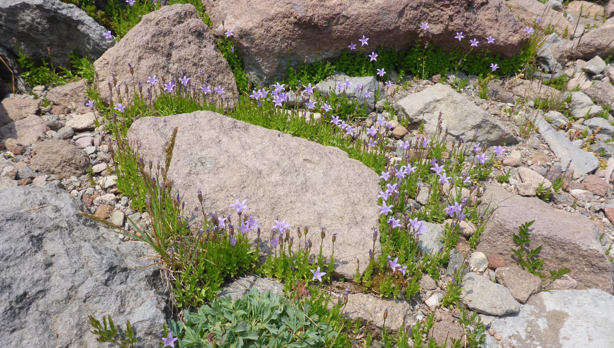
Our hike to South Gate Meadows, Mount Shasta Wilderness, was a hike with a mission: we were out to locate and assess the bloom condition of one Wilkin’s harebell, Campanula wilkinsiana, a CNPS List 1B.2 rare species, which is slated for seed banking this year.
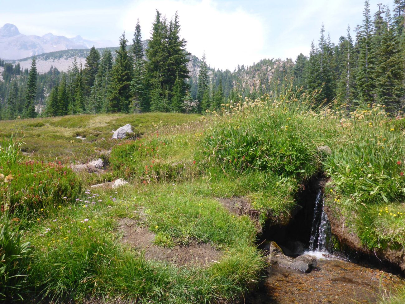
We were delighted to find it blooming in profusion in the few spots that it had been reported. A very pretty little flower that likes moist soil near seeps and in meadows. Its seed should be ready for harvest in a few weeks. Harvesting is done in accordance with strict guidelines to ensure the survival of this fragile plant. For more information about CNPS’s seed-banking efforts, please see their article, California’s New Budget Takes Aim at Extinction to Protect California Biodiversity.
There are several other rare and uncommon plants growing in this general vicinity, including pryola-leaved buckwheat, Eriogonum pyrolifolium var. pyrolifolium (List 2B.3), and Mt. Shasta arnica, Arnica viscosa (List 4.3). We were fortunate enough to see both of these, and many less uncommon species, blooming in this moonscape-like area high on Mt. Shasta
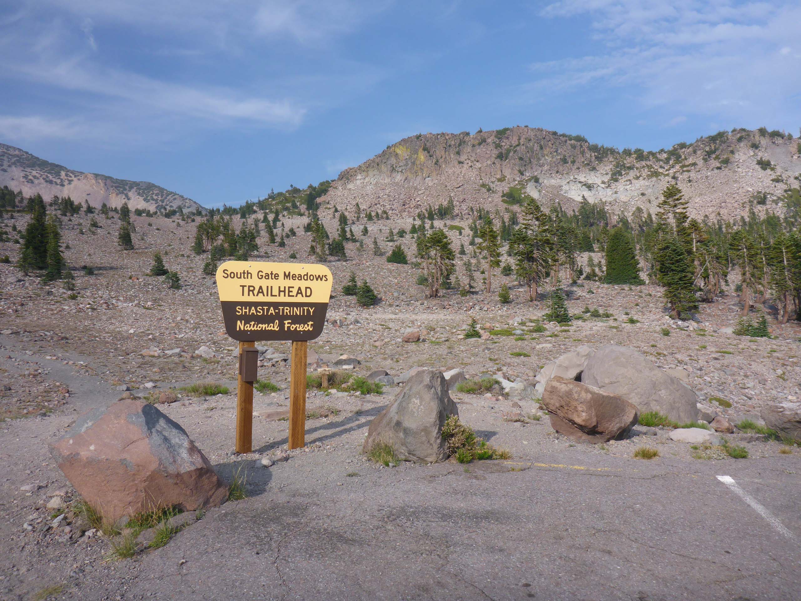
South Gate Meadows Trailhead is at the very end of Everett Memorial Highway, Mt. Shasta, at about 7,840 feet in elevation. There’s plenty of parking and it is well signed.
However, the signed 1.5 miles to the meadows is incorrect. It is more like 1.8 miles to the foot of the meadows and it will be very difficult to resist following the footpath that runs along the incised but charming little gurgling stream for at least another 0.2 miles, making for a 4-mile round trip.
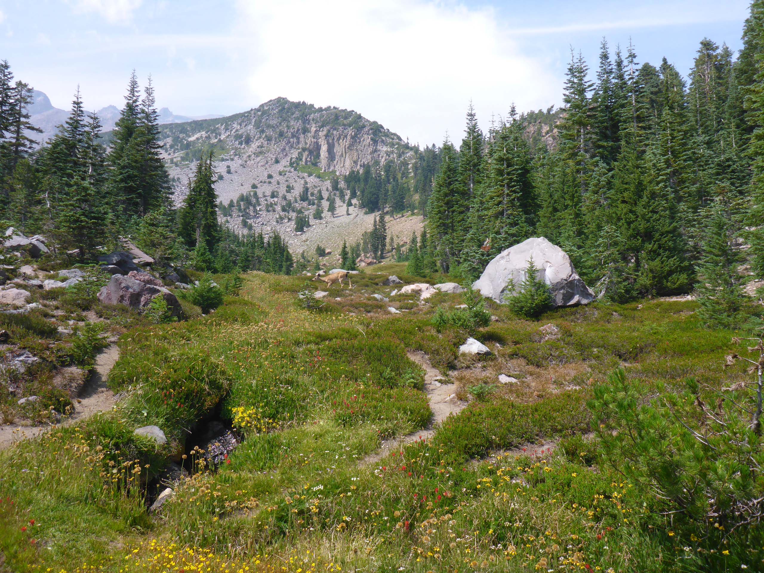
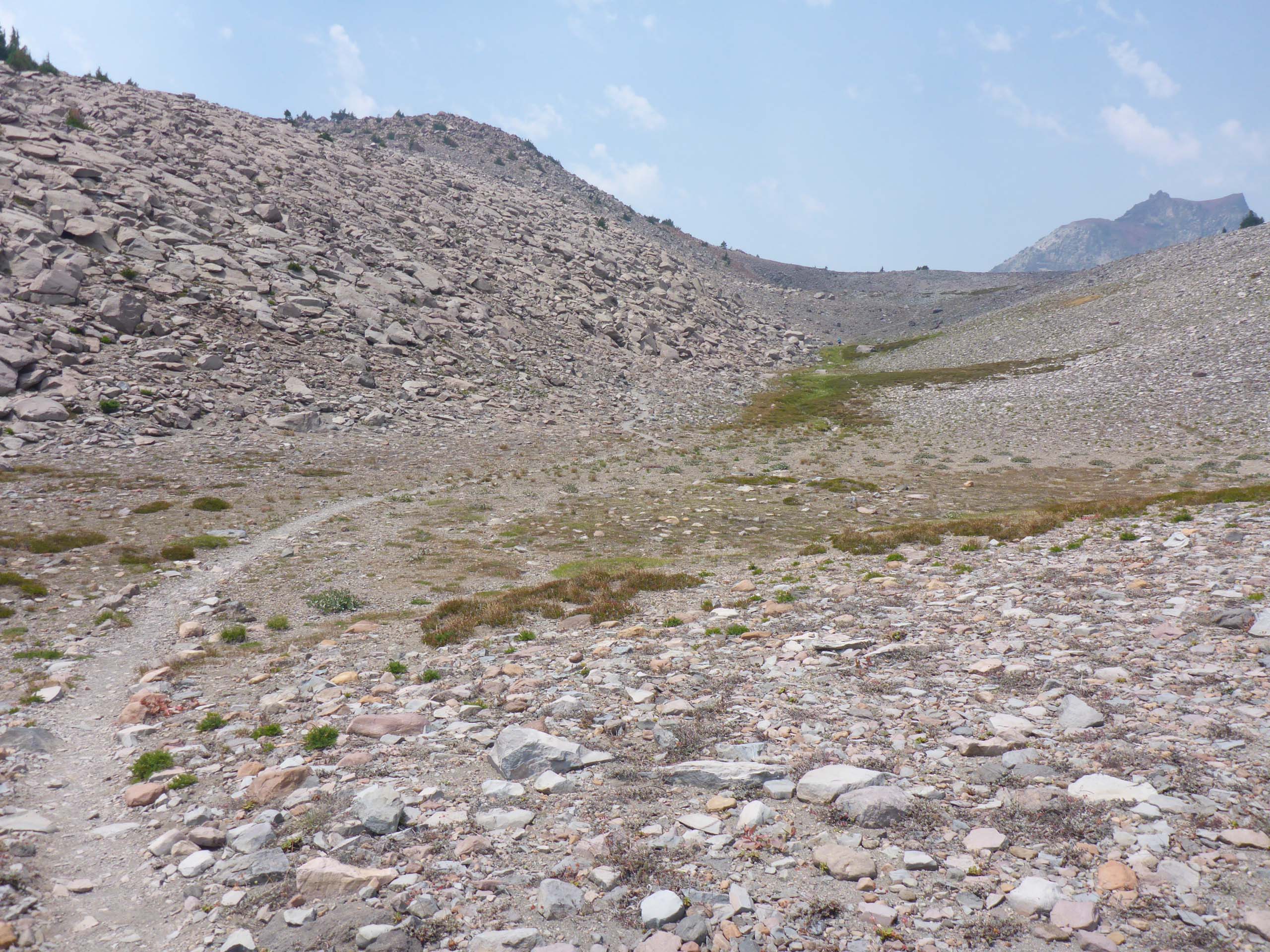
We would rate this hike as moderately difficult. There is a total elevation gain of ~800 feet, and most of the trail is above timberline, which means no shade. But it also meant very little smoke! The footbed is generally good, and the grade relatively gentle for the most part, with a couple of short, sharply steep sections. Dogs are not allowed in this wilderness area, and hikers must be careful to stay on trails to help conserve this fragile ecosystem.
We hope you enjoy the following slideshow of some of our more interesting finds. All photos by Don Burk. ~Laurie & Don Burk


