
Please join us for the following field trips, which will be co-hosted by Shasta Chapter CNPS and Shasta Environmental Alliance (SEA).
Lower Sacramento Ditch Trail
Saturday, January 14, 9 AM
- This field trip will be an easy to moderate 4.5-mile out-and-back hike on the Lower Sacramento Ditch Trail to the Hornbeck Trail in northwest Redding. This trail, which was not burned in the Carr Fire, has great views of Keswick Lake. Walk leader David Ledger will identify the native plants along the way. Most people will find this to be a fairly easy hike. We will drive to the nearby historic Quartz Hill Mine after the hike. Meet at the Senior Citizens Center parking lot at 2290 Benton Drive, Redding, at 9 AM to carpool, or you can meet us at the trailhead at the end of Walker Mine Road, Redding.
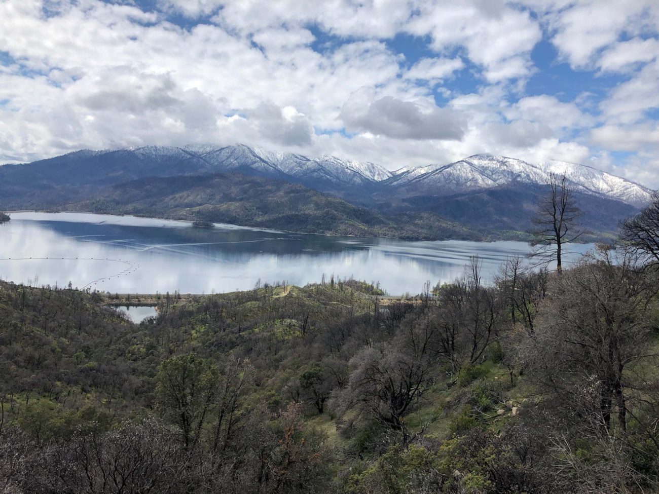
South Fork Mountain Lookout Road
Wednesday, January 25, 9:30 AM
- We will walk up the gravel service road for South Fork Mountain, which offers superb views of Whiskeytown Lake and the surrounding mountains, and is home to a good variety of plants. Walk leader David Ledger will identify the native plants on the hike, and we will check on the recovery of trees and shrubs following the Carr Fire. This will be a ~5-mile hike of moderate difficulty. Meet at the CVS parking lot in the Holiday Market shopping center on Placer Drive, Redding, at 9:30 AM.

Shasta Divide Trail, Whiskeytown National Recreation Area
Saturday, February 4, 9 AM.
- This is a three-mile steep hike of moderate difficulty with beautiful panoramic views of Whiskeytown Lake, Mt. Shasta, and the Cascade and northern Sierra Nevada ranges. This area was only lightly burned during the Carr Fire, in part due to years of vegetation clearing that left most of the trees and many shrubs. Sugar pines, which are usually found at higher elevations, forest much of this area. We should see early-blooming milkmaids, Henderson’s shooting-stars, and manzanita shrubs in bloom. Due to steep sections of the trail, those with poor balance should not participate. Meet at the CVS parking lot in the Holiday Market shopping center on Placer Drive, Redding, at 9 AM, or we will meet you at the parking lot at the Whiskeytown Information Center.

For all above field trips, bring an umbrella in the event of light rain or sprinkles; snow on ground or heavy rain will cancel. Dogs on leash are welcome. To sign up for any of the above field trips, email david@ecoshasta.org; we will let you know if trail or weather conditions cancel the event. ~David Ledger