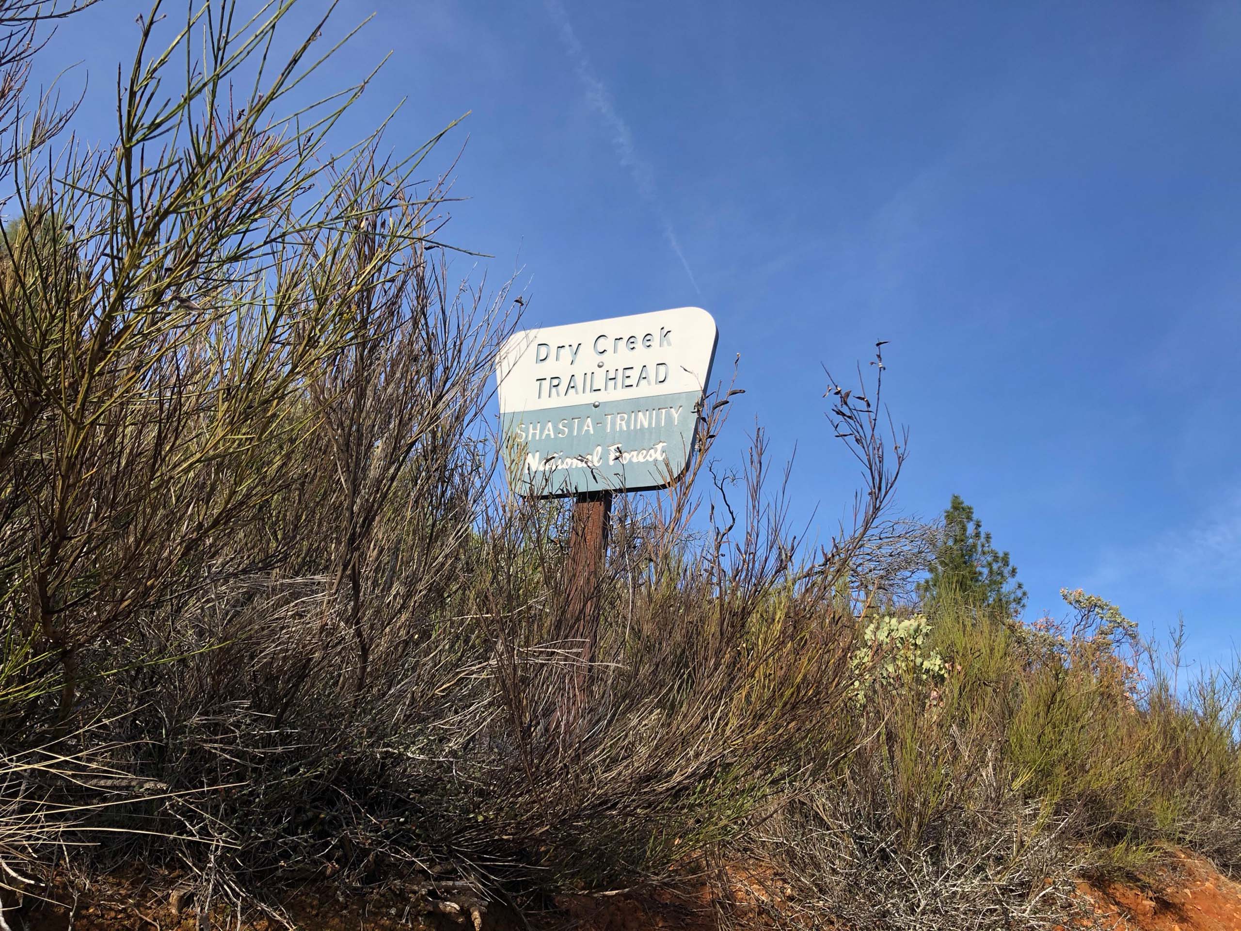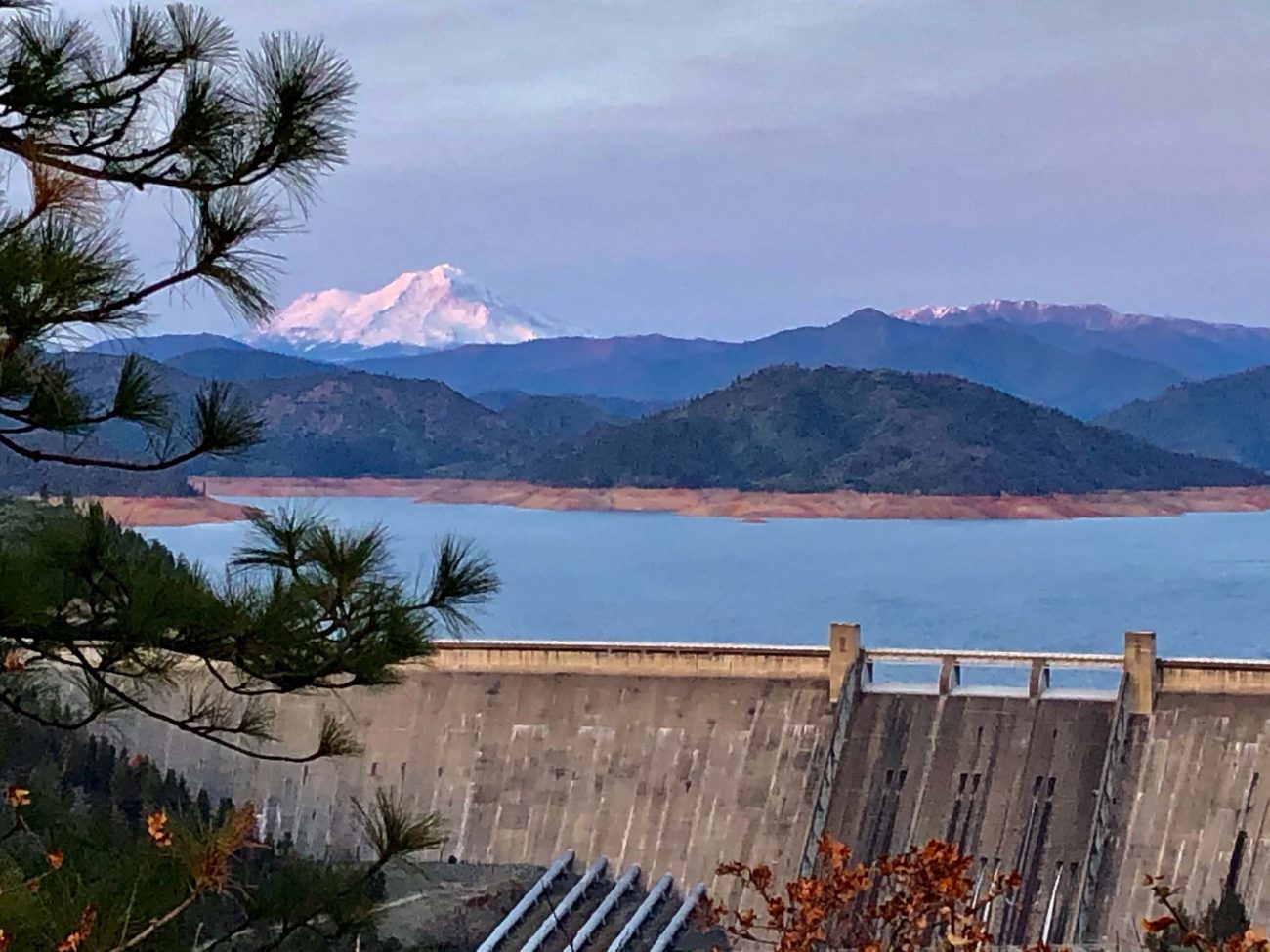
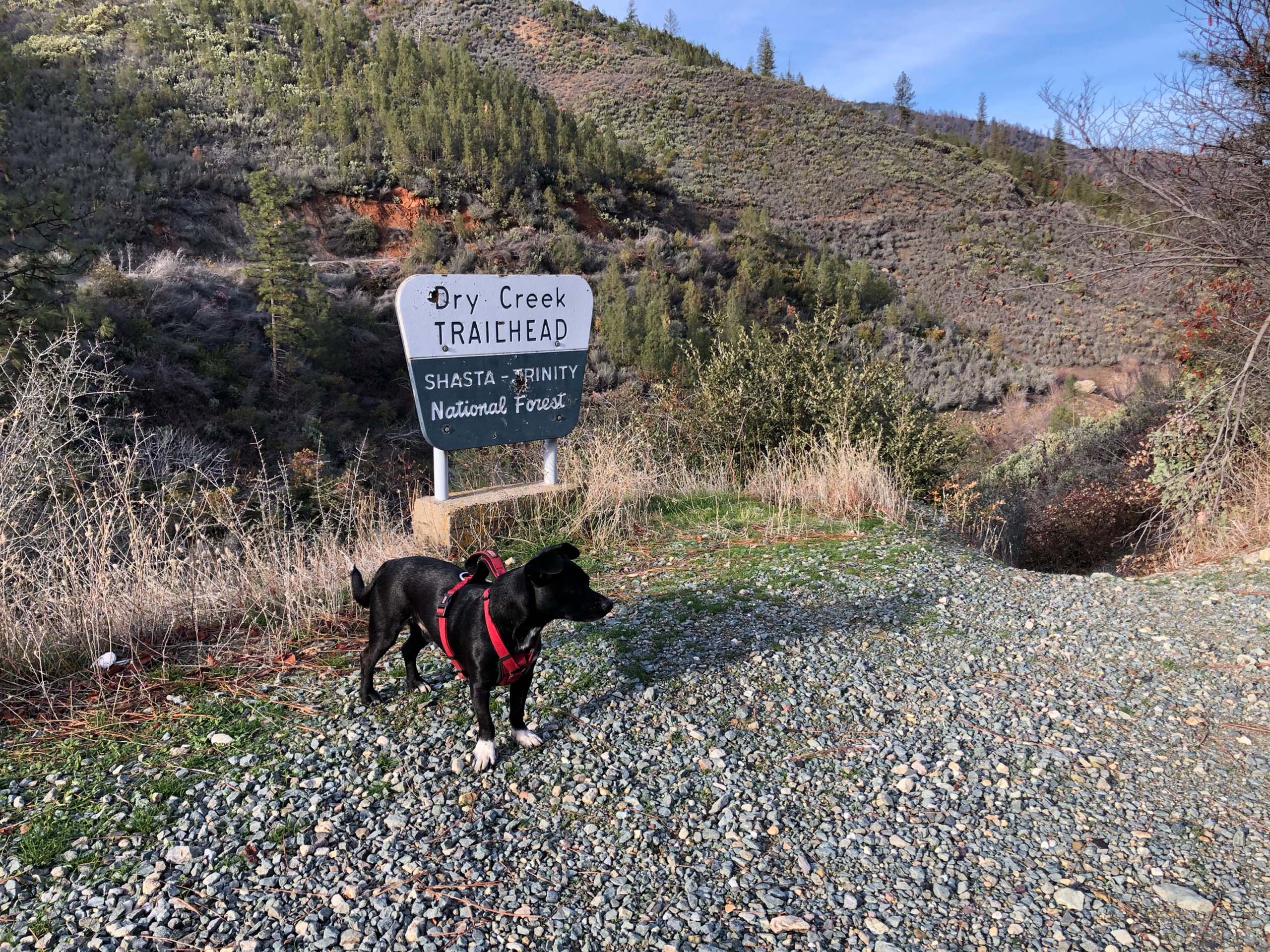
Dry Creek Trail offers some great views of three Shastas: Shasta Lake, Shasta Dam, and Mt. Shasta. My sister Kit, wife Billie, dog Baxster, and I began this hike at the trailhead closest to Shasta Dam, about a quarter of a mile away from the dam itself.
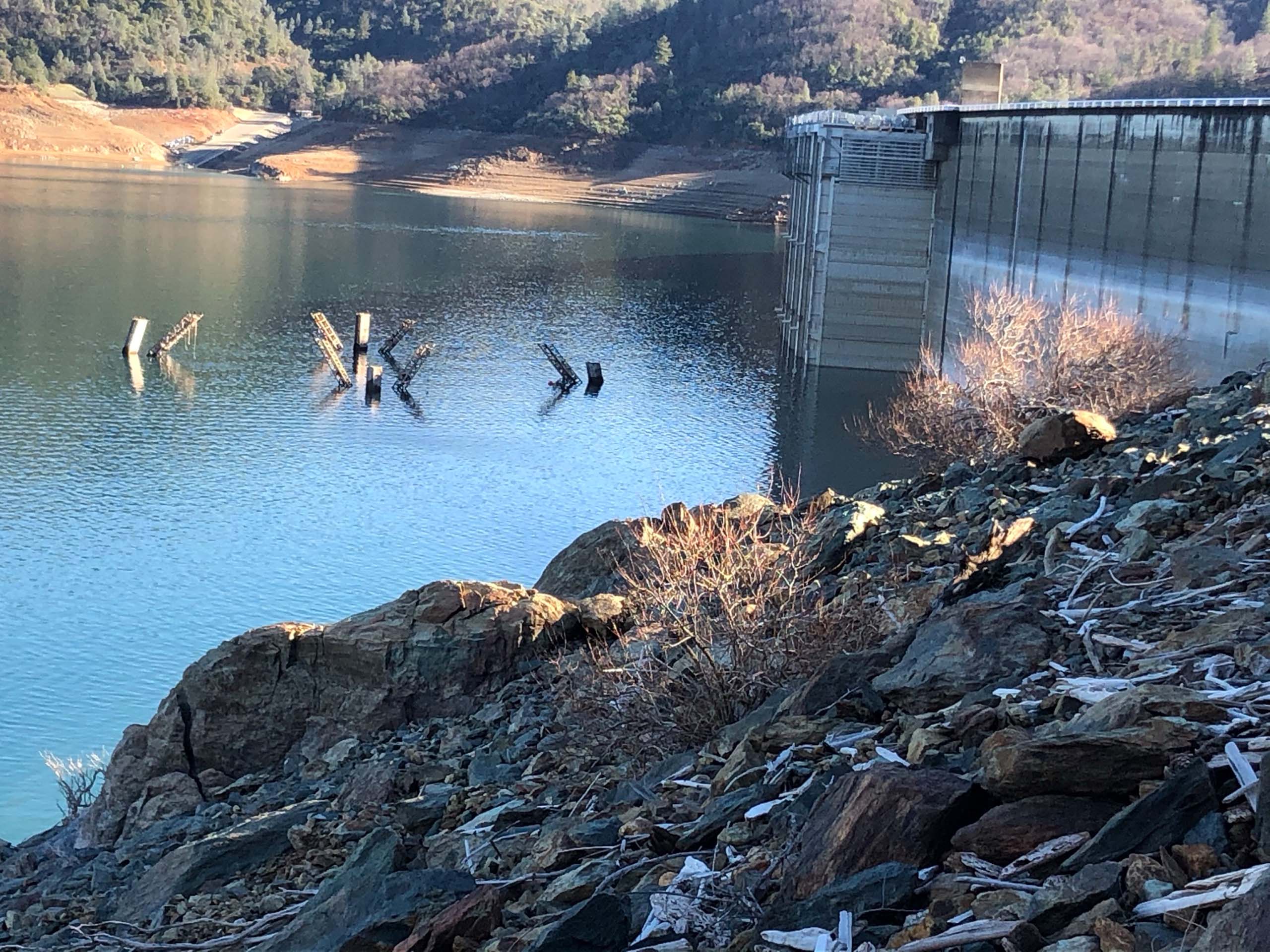
Looking toward the backside of the dam, the remaining base of the head tower (used during the construction of the dam) is rising from the lake’s surface yet again.
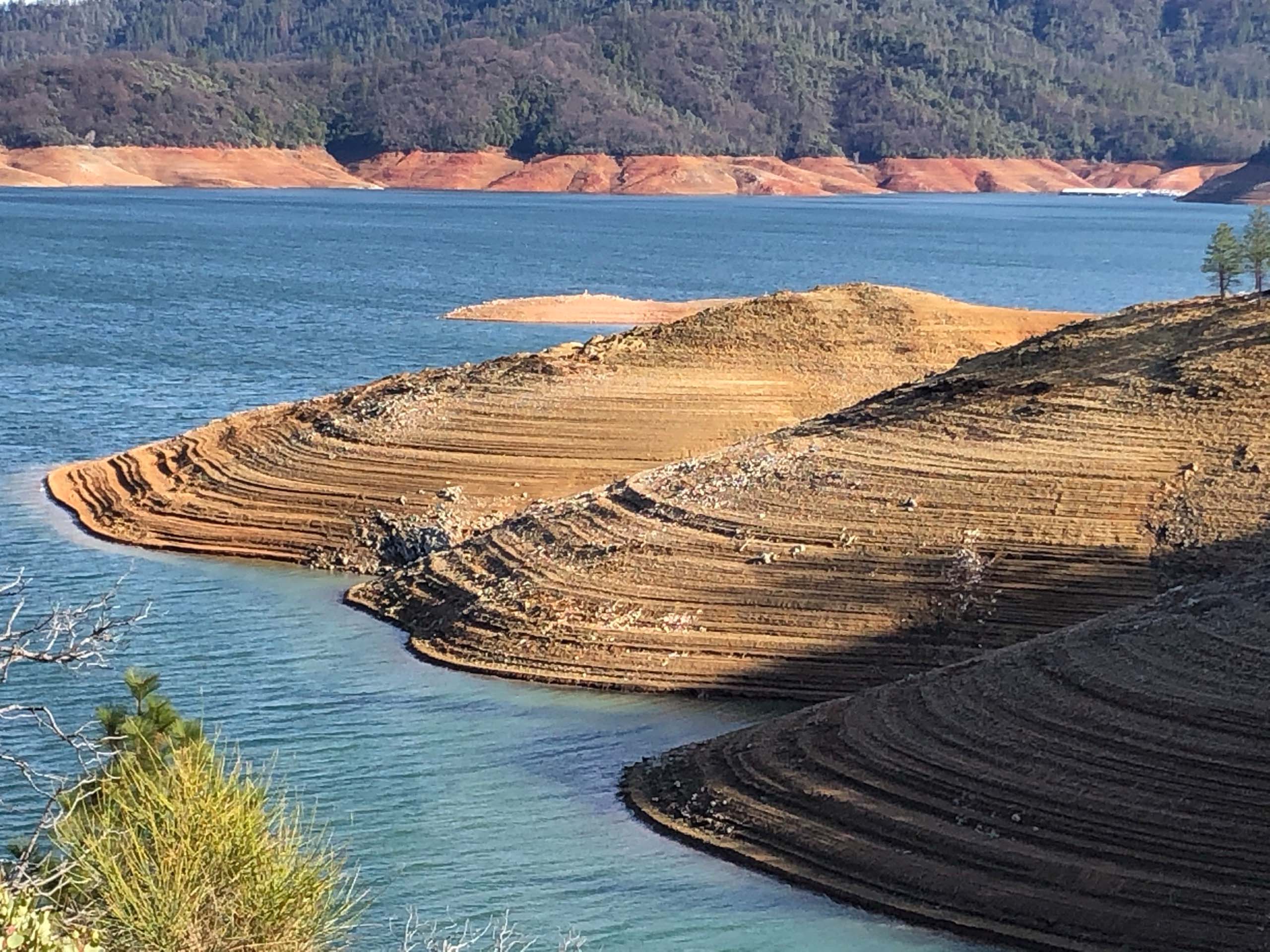
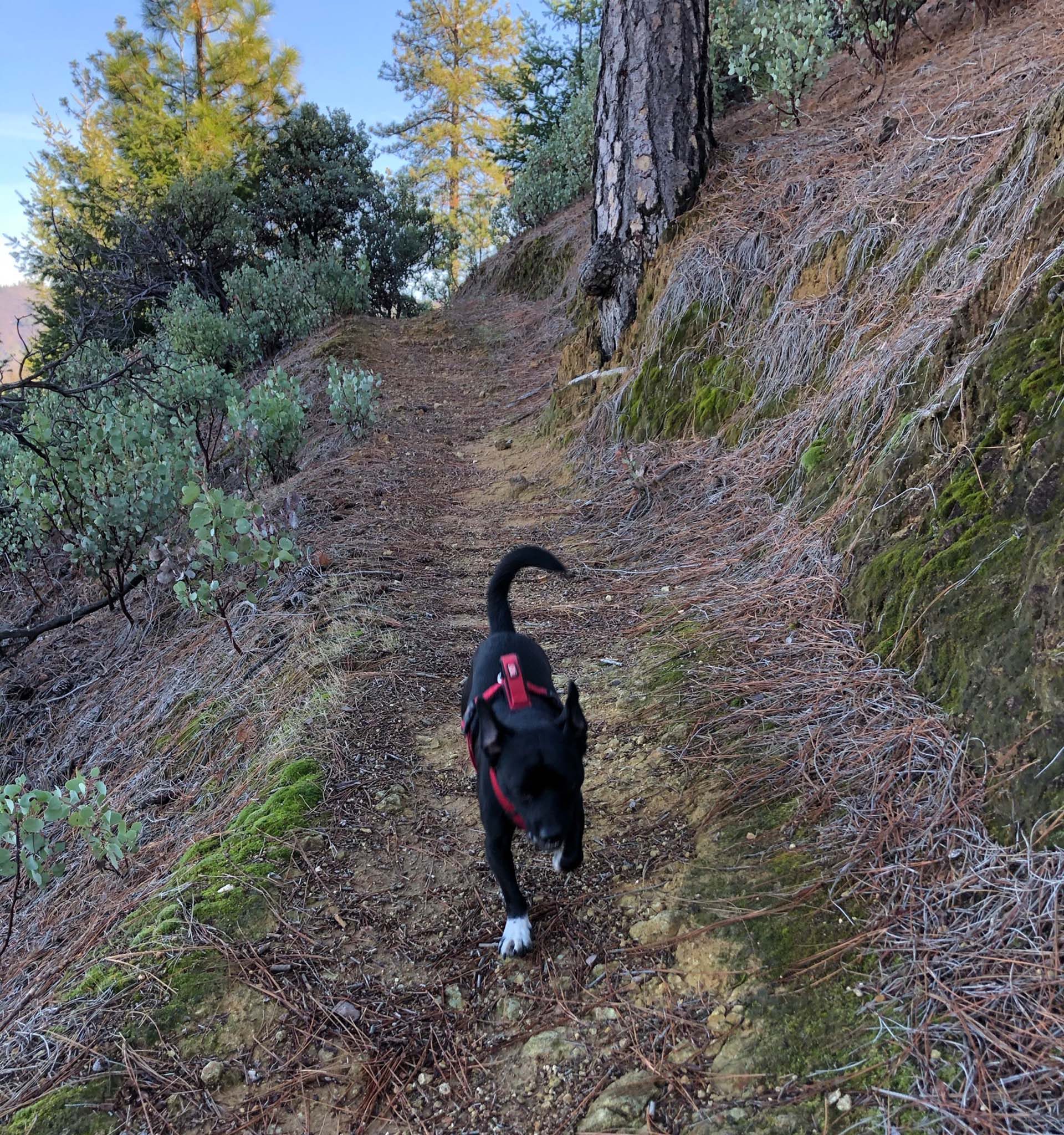
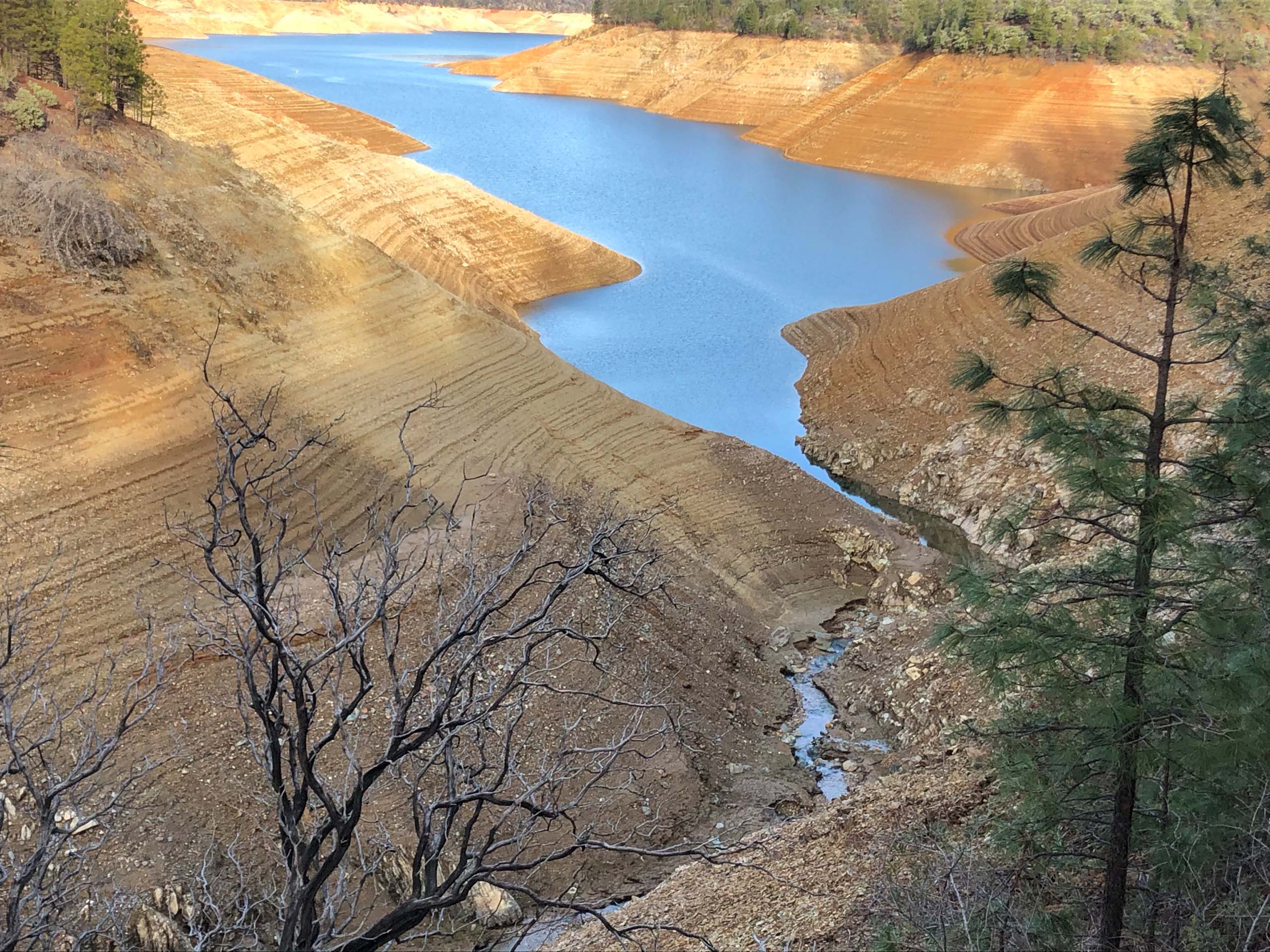
The trail moves, sometimes abruptly, up and down as it follows the contour of the lake’s shoreline.
Untouched by the Carr Fire, the forest canopy features many ponderosa and knobcone pines, as well as an occasional Douglas-fir. About two miles in, a cluster of six or so Pacific madrones appears.
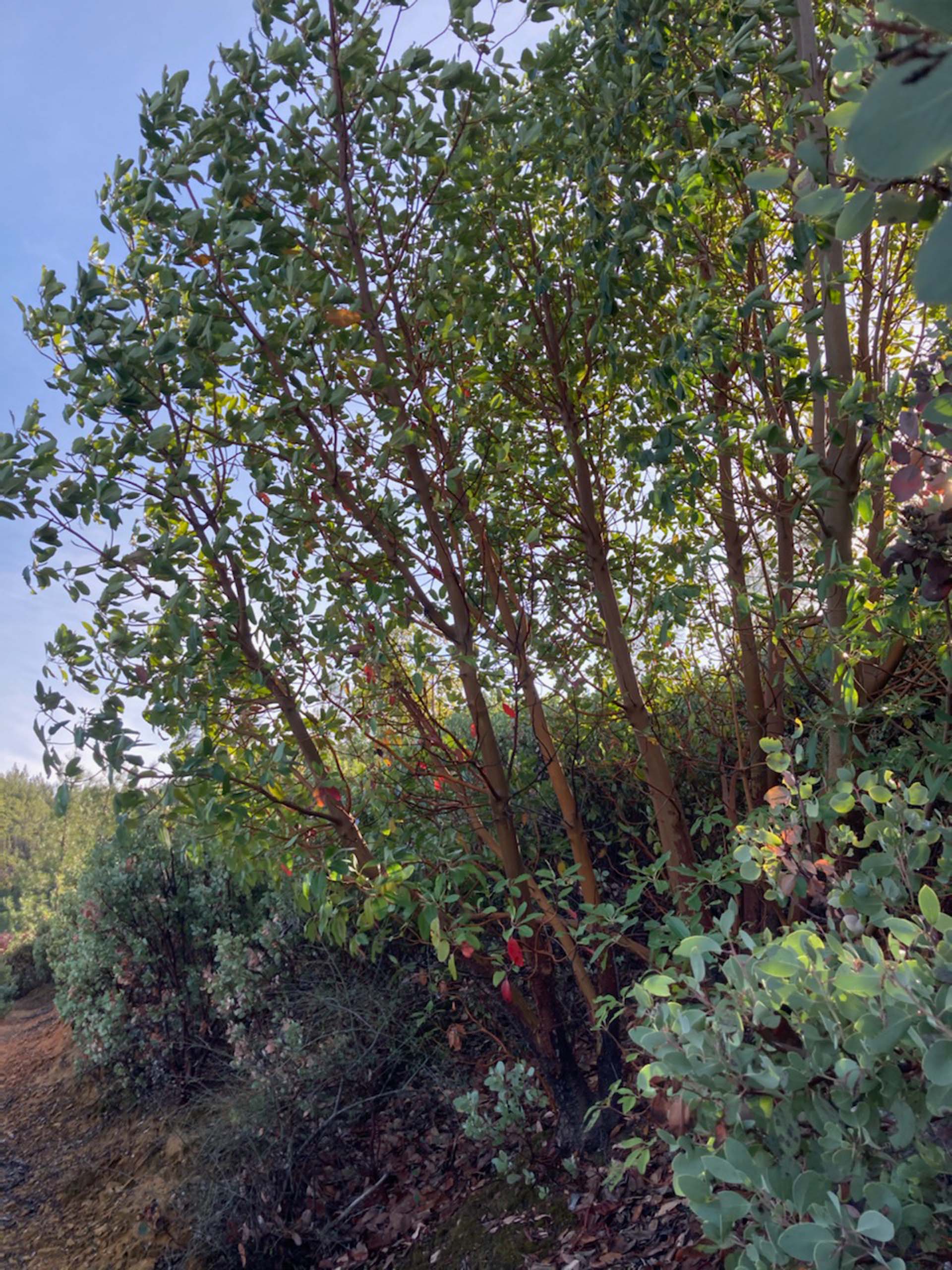
Photo by Billie Harvey.
Highlights of our walk included the red color provided by the fruiting toyon shrubs, and the old fruits on one of the madrone trees, as well as three bald eagles in flight!
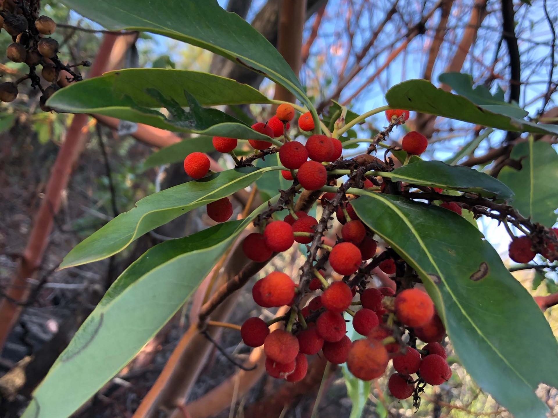
Photo by Chris Harvey.
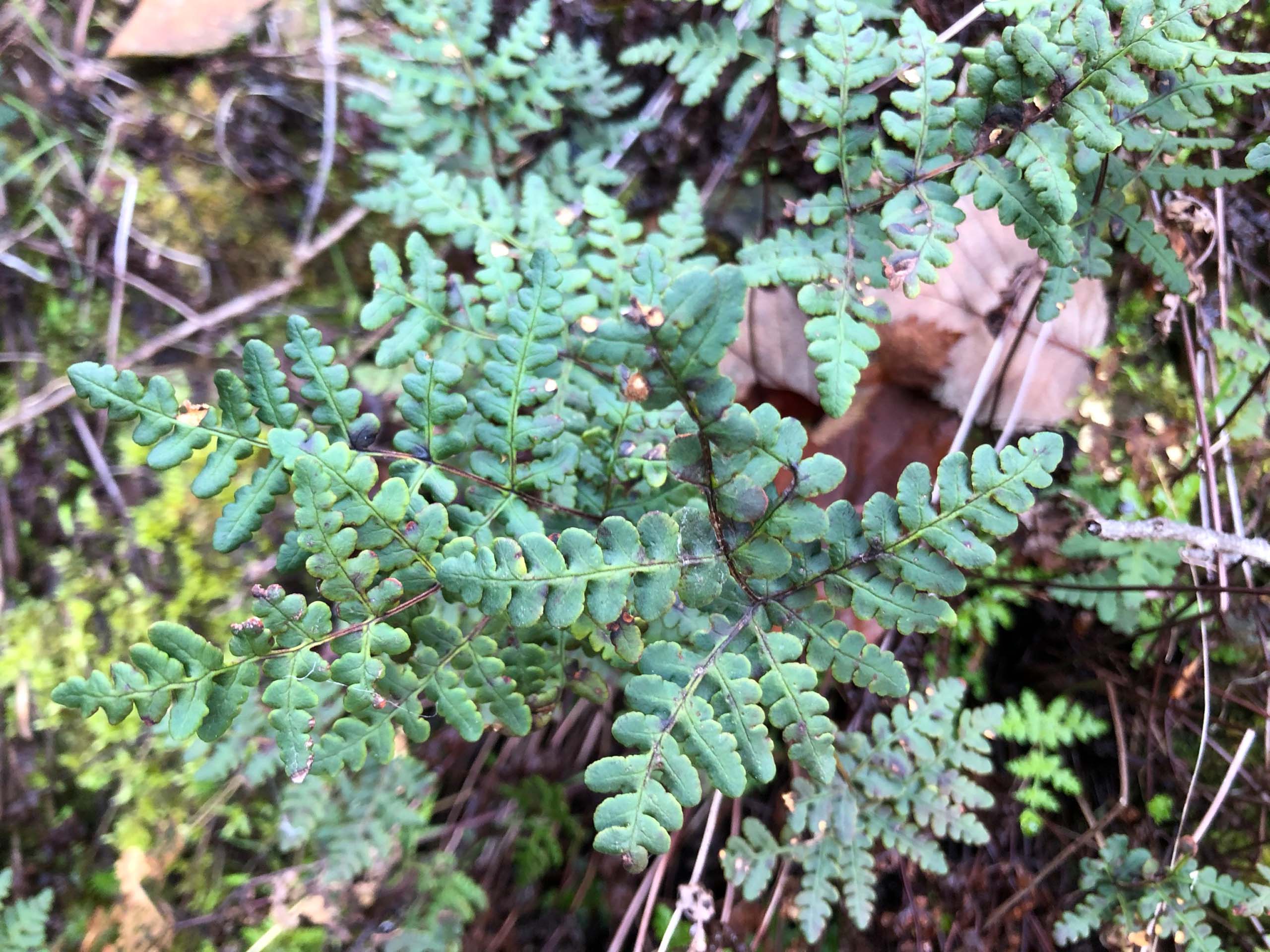
We also enjoyed the beautiful mosses, ferns, and lichens growing along the trail.
At the end of the 4.9-mile trail, we found the far trailhead and, instead of retracing our steps, elected to walk back to the dam (and our truck) via the dirt road, which is well used by ATVs and other vehicles. This made for a loop route of just under 9 miles.
Because the trail is very narrow in places, has many sections with uneven footing, and is often on slopes that drop off steeply to the lake, I would rate this hike as moderately difficult.
Drive across Shasta Dam to get to the Dry Creek Trailhead closest to the dam. You’ll need to show your driver’s license to the security person who checks all vehicles before they are allowed to proceed. Once you get to the other side and pass the automated gate, turn right and proceed past the fence to park along, or at the end of, the short dirt road. (If you park on the pavement, your car may be towed!) Look to the left where the trailhead is marked by a large sign. ~Chris Harvey