
I always think of Davis Gulch Trail in Whiskeytown National Recreation Area as being an easy, pretty much flat trail. In fact, there is a total elevation gain of ~750 feet on this 3.3-mile one-way trail, which seems to come in sharply steep spurts between flat sections. The hike is still relatively easy, however; perhaps moderately easy is the best description.

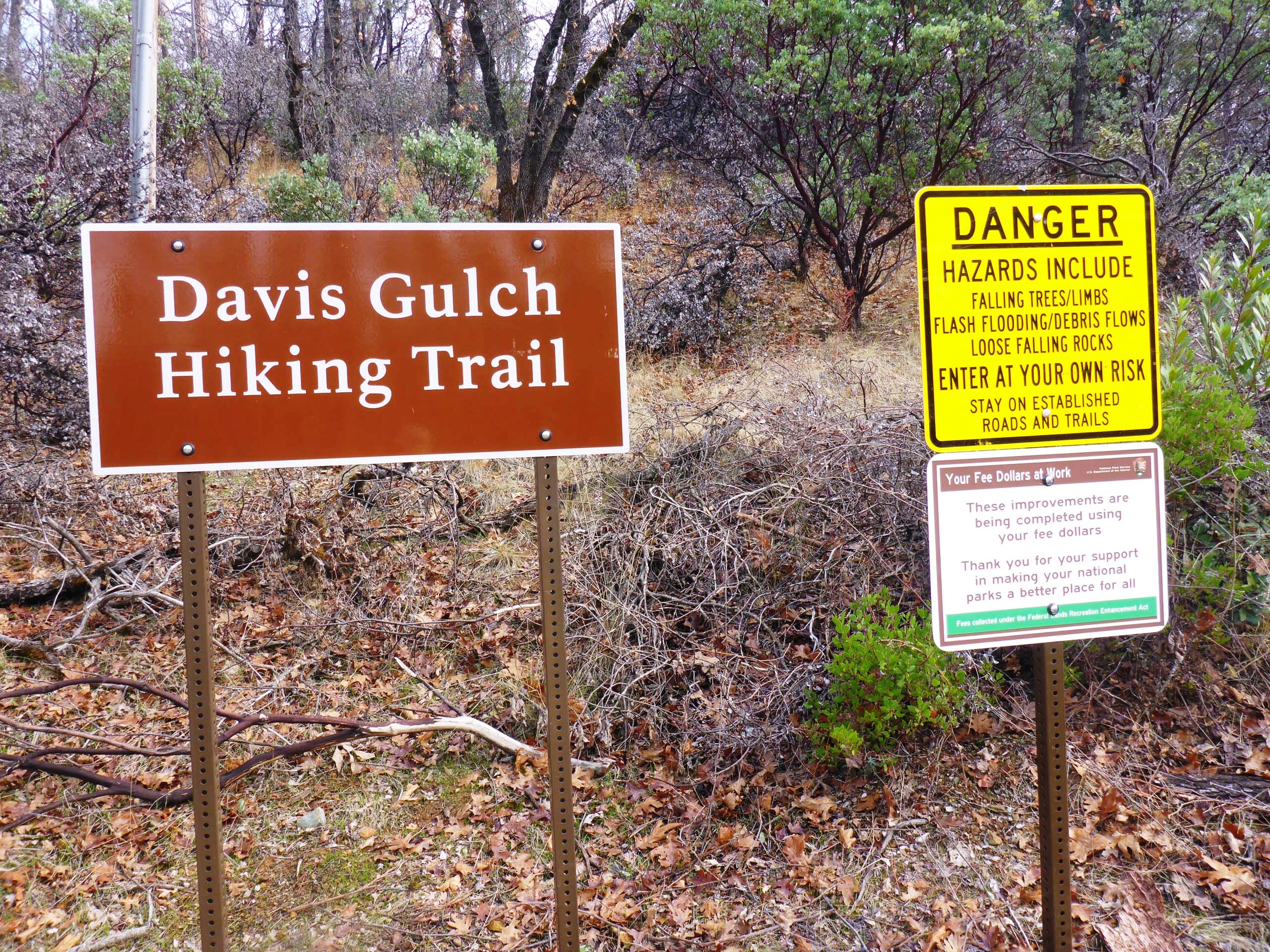
The official trailhead for this trail is on JF Kennedy Memorial Road, about 0.5 miles after crossing Whiskeytown Lake’s dam. However, the other end of the trail is at Brandy Creek Beach parking lot B, near the restrooms. Hikers could start there just as easily. It also makes for a nice shuttle situation for those who don’t want to hike 6.6 miles: take two cars and drive rather than hike back to the starting point.
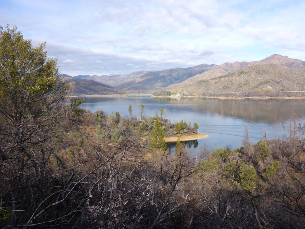
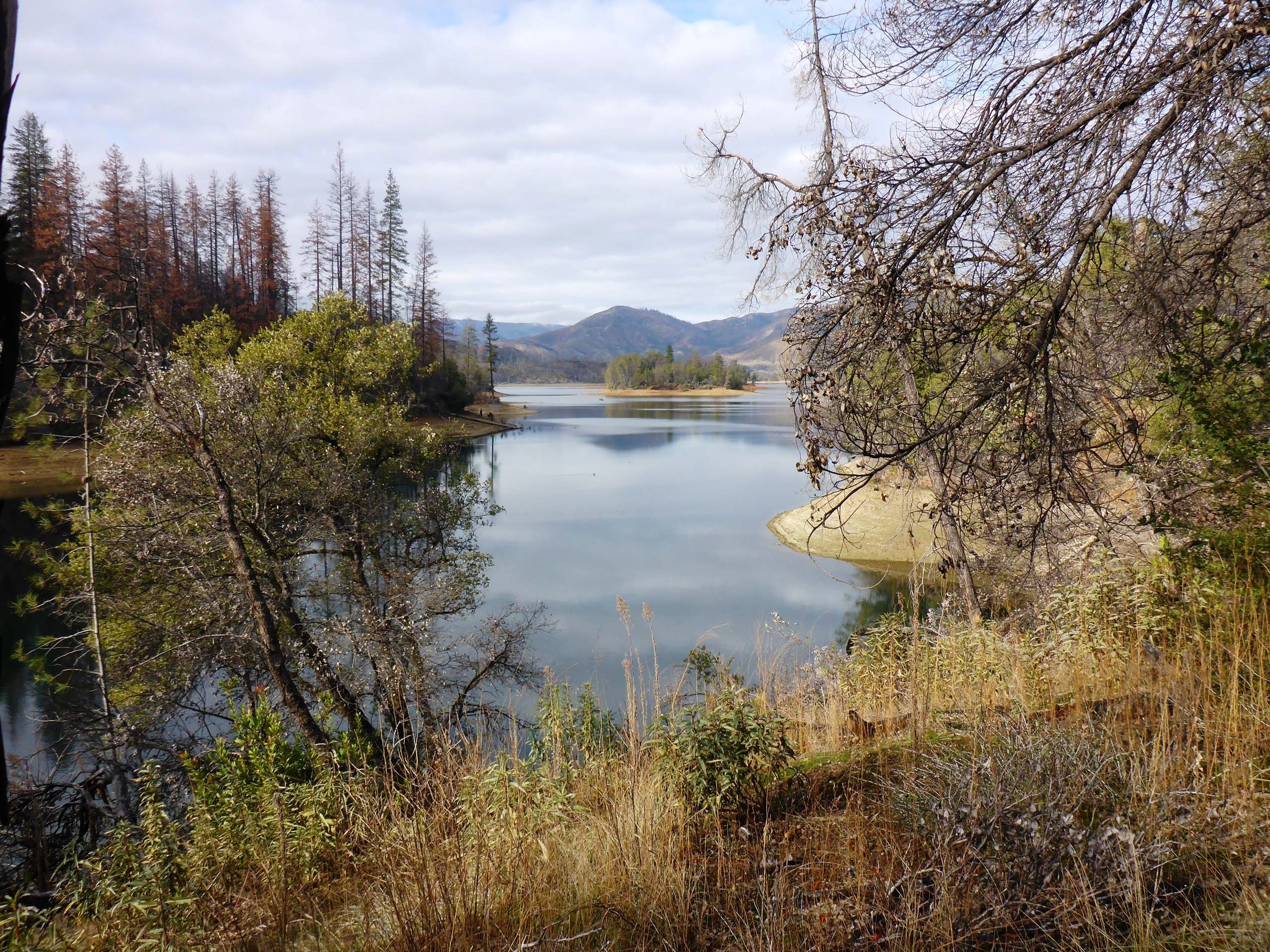
We began this hike at the official trailhead and almost immediately noticed the difference that the 2018 Carr Fire had made on the trail. With the majority of overstory trees burned, in combination with the seasonal leaf drop, Whiskeytown Lake can now be spotted from almost anywhere on the trail.
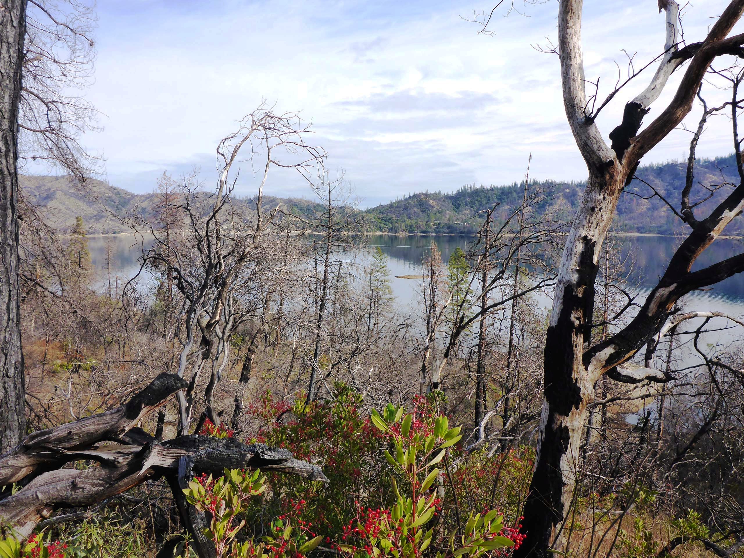
Nowhere along the trail did it appear that the fire had been particularly severe, however. Most hard-hit were the large trees; mid-story shrubs and herbaceous understory plants seemed lushly healthy and diverse. Interior live oak was stump sprouting, and we saw several young conifer saplings. And the toyon was having a heyday under a newly opened canopy!
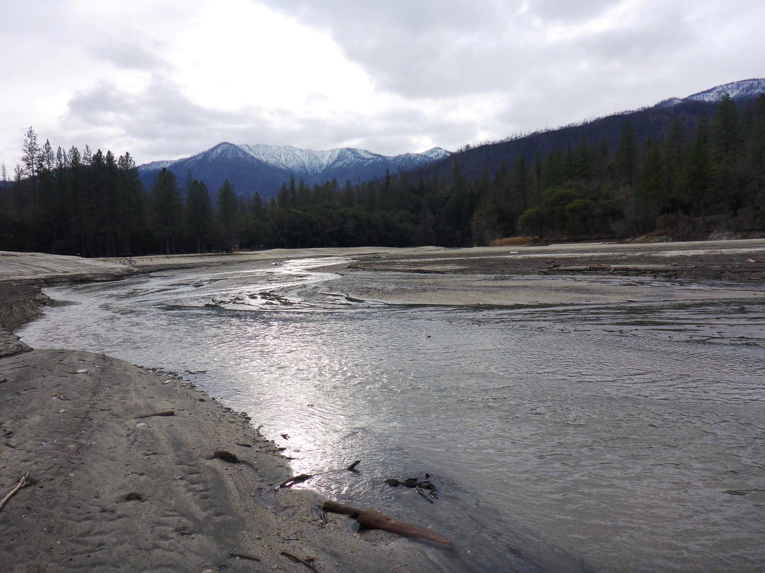
Rainfall must have been sufficient as there were numerous fungi fruiting, and the mosses, lichens, liverworts, and ferns were brilliant shades of green. We spotted a bald eagle soaring above, and watched several deer charge up a steep slope. Crows cawed, and lots of little birds, including towhees, flittered through the underbrush. We stopped for a bite to eat at the edge of an amazingly altered Brandy Creek before heading back.
Always a nice hike and easily accessed, this is a heavily used trail. It is all but guaranteed that you will be sharing this trail with others. On our hike, we were nearly always within hearing distance of a very boisterous family of six and their dog. Another solitary hiker passed us early on. It is good to see people getting out. You should, too! Just remember your Park pass!
Here’s a short slide show of a few of the things we stopped to inspect. All photos by Don Burk. Enjoy! ~Laurie & Don Burk


