
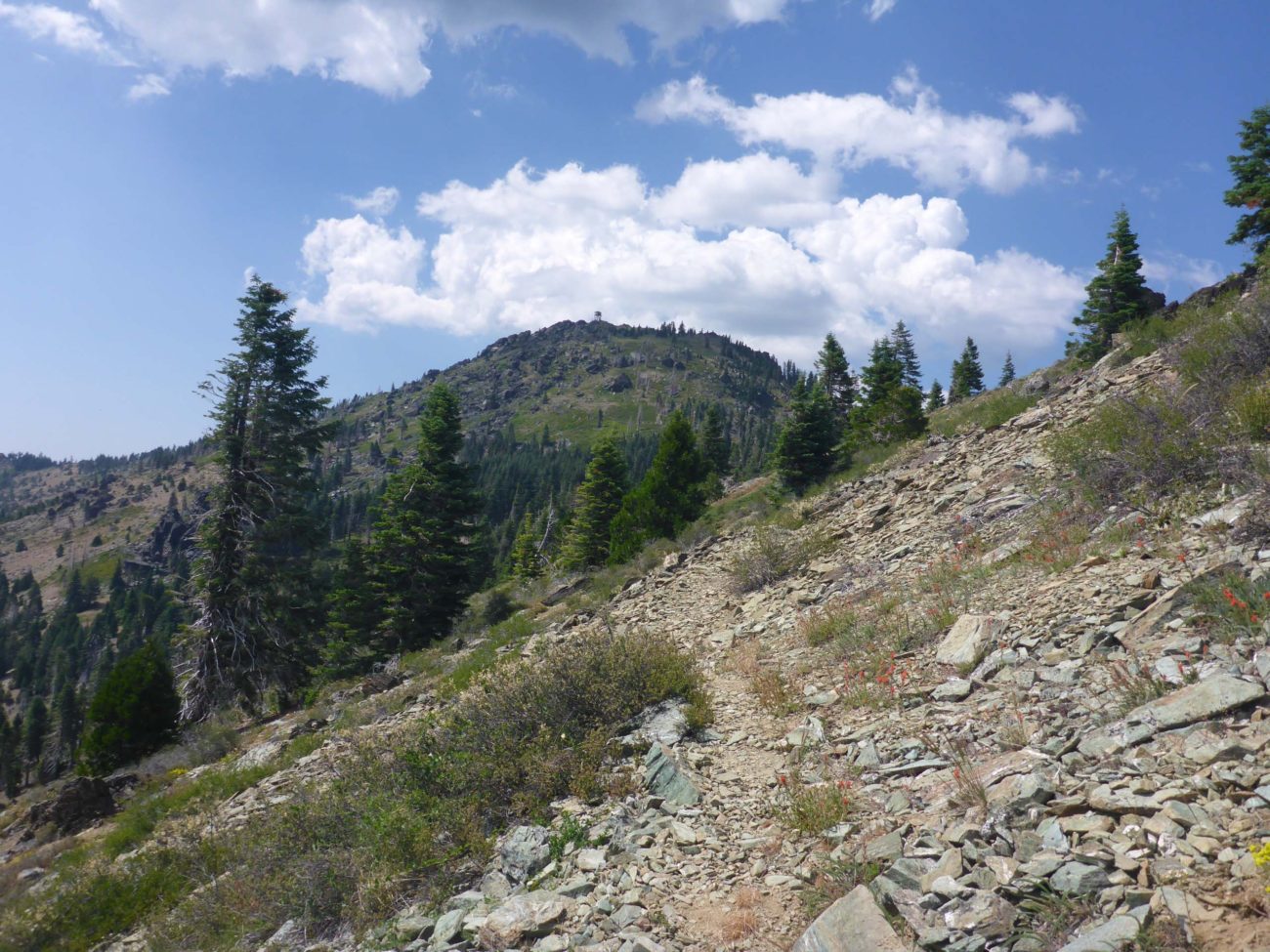
This hike is deep in the Yolla Bolly–Middle Eel Wilderness, and is an extension of the Pettijohn Trail hike of June 21, 2020. As noted in that post, several trails converge at the ridgetop. The trail leading west, Black Rock Mountain Trail, will get the determined hiker most of the way to top of Black Rock Mountain.
This is a poorly maintained, ~1.5-mile trail that, once it leaves the forested ridgetop, becomes quite scrabbly and even somewhat precarious in places. By the time it reaches the foot of Black Rock Mountain, it becomes insanely steep, difficult to find, and all but impossible to keep in sight for the overgrown brush.
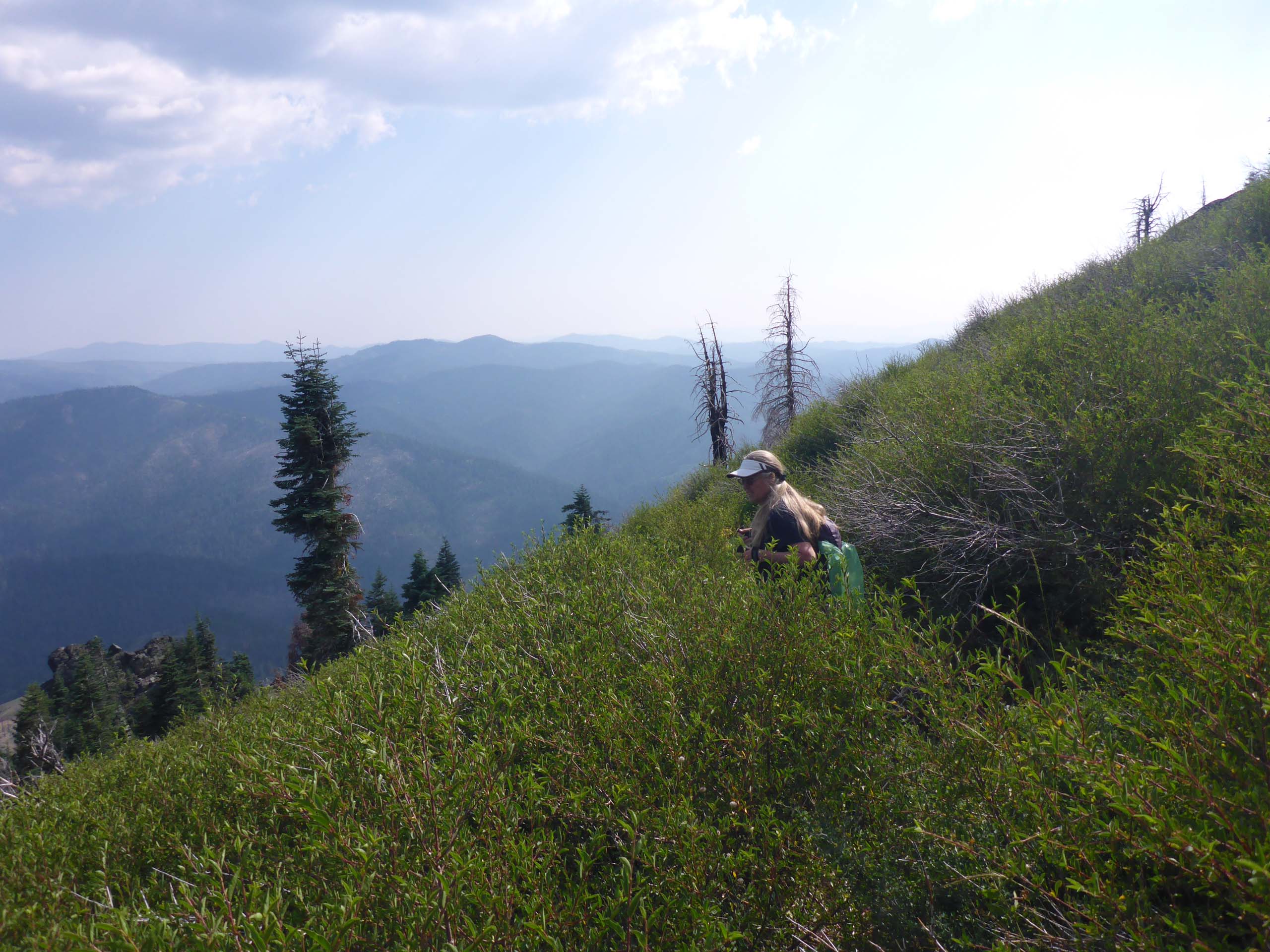
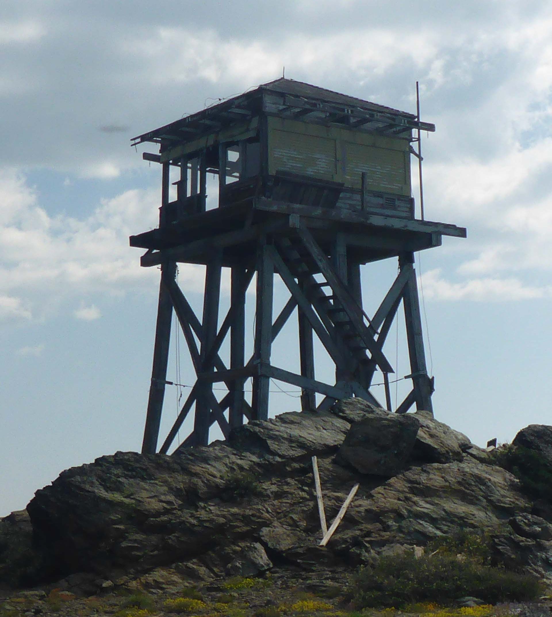
Photo by Don Burk.
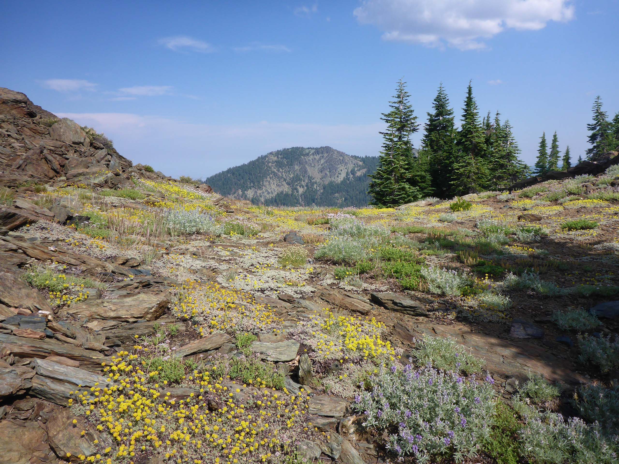
Getting up the slope of Black Rock Mountain is by far the most difficult part of this hike, but for those who persevere, glorious rock gardens, rare plants, and incredible views await.
Black Rock Mountain is the site of an abandoned fire lookout. Built in 1935, it is now in very poor shape.
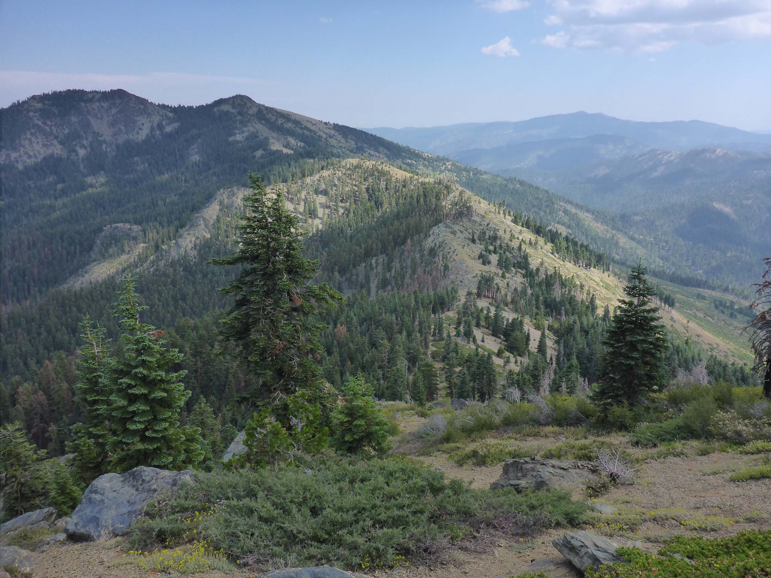
This hike is moderately difficult for most of the way, and strenuously difficult at the very end. Total one-way distance from the Pettijohn Trail trailhead to the top of Black Rock Mountain is ~4.3 miles, with a total elevation gain of ~2,200 feet.
We hope you’ll enjoy the following slideshow of late-July-blooming wildflowers, seen on both the Pettijohn and Black Rock Mountain trails, on July 27, 2020. All photos by Don Burk.
-Laurie & Don Burk


