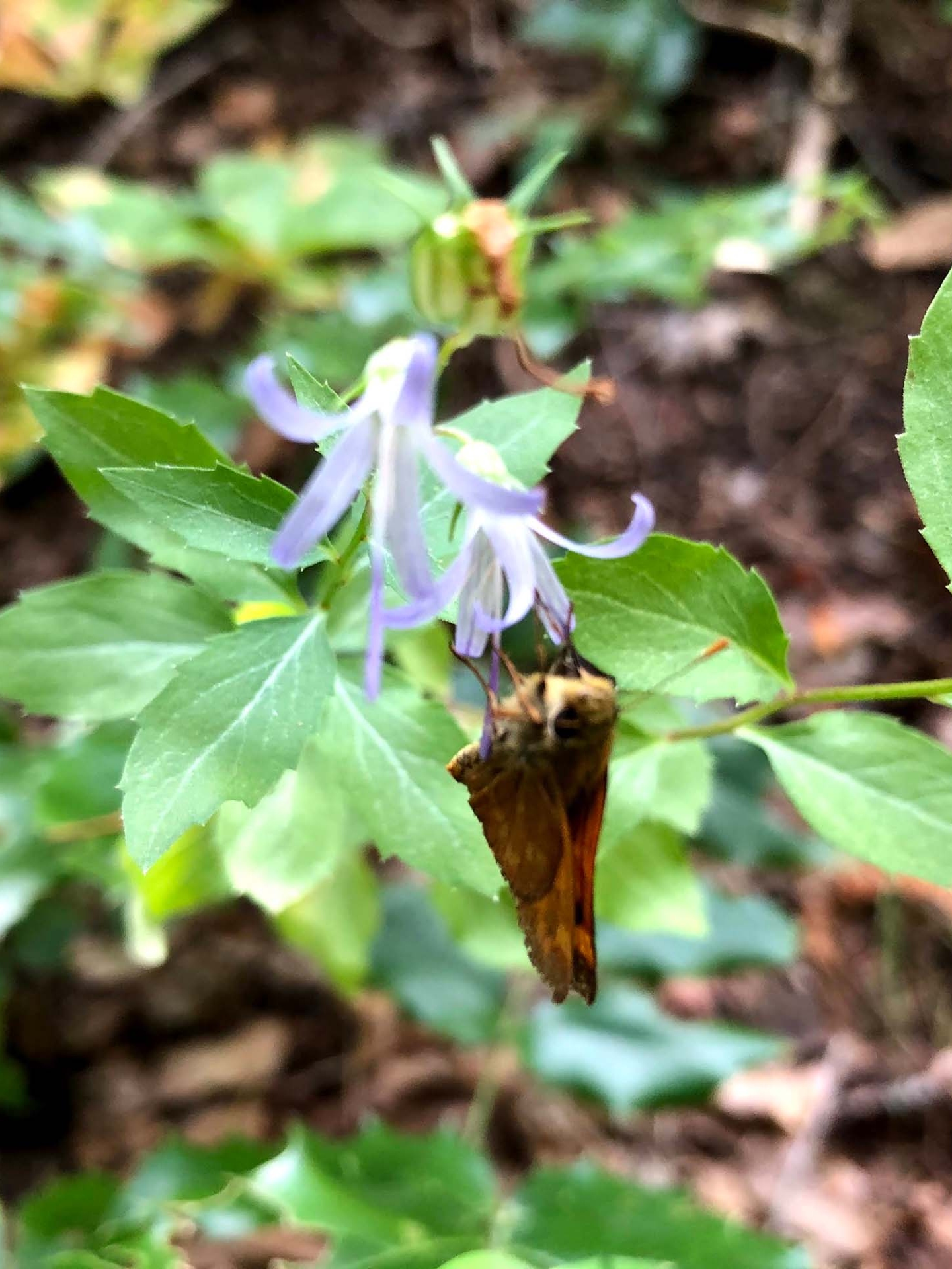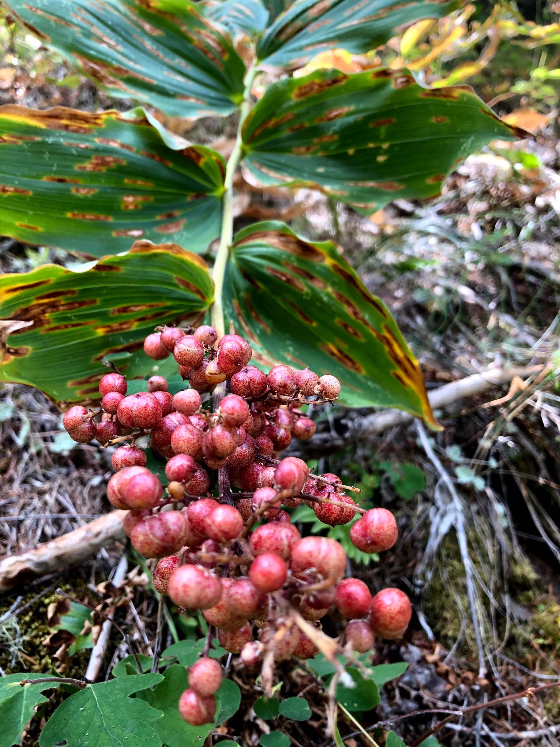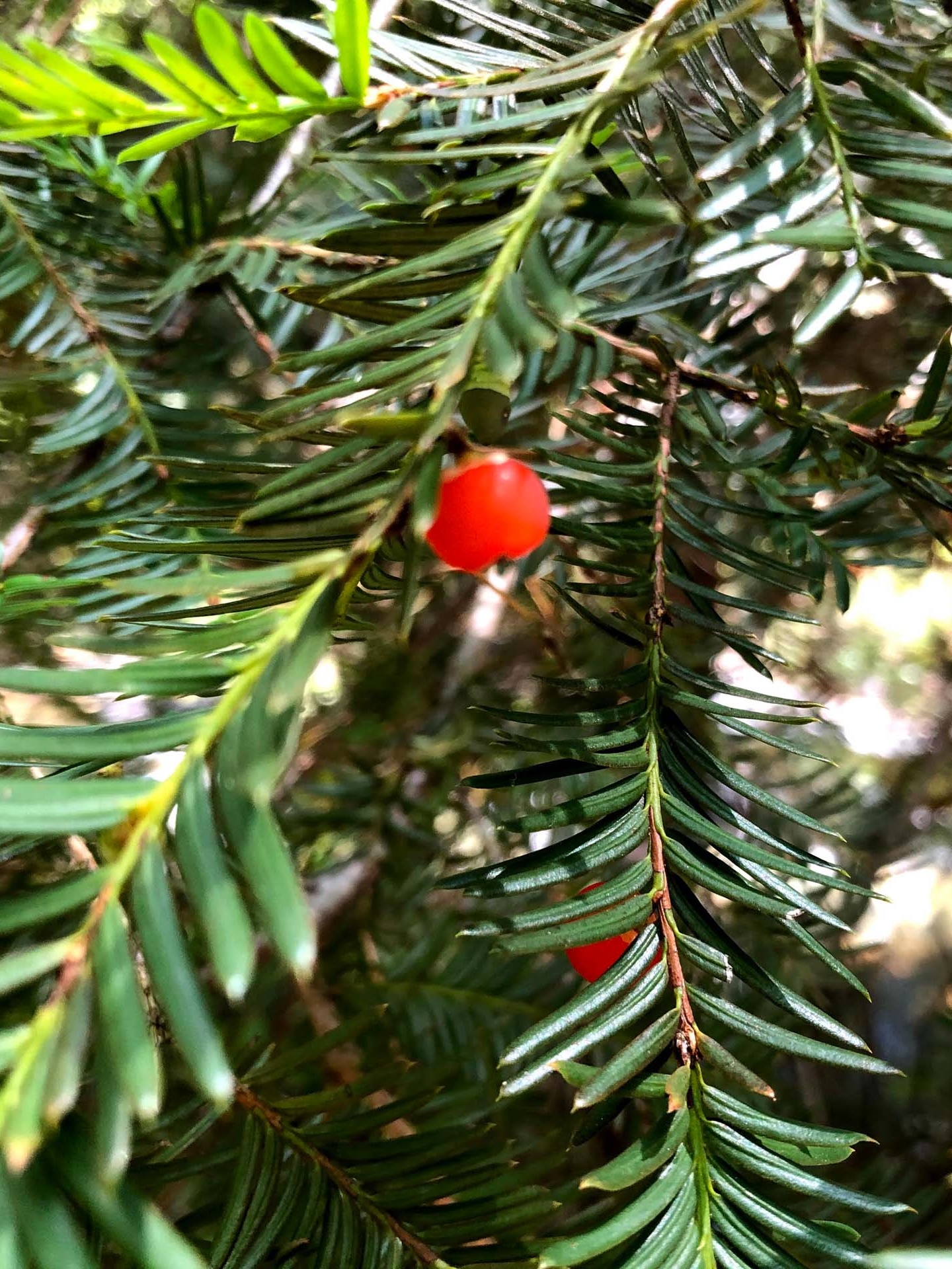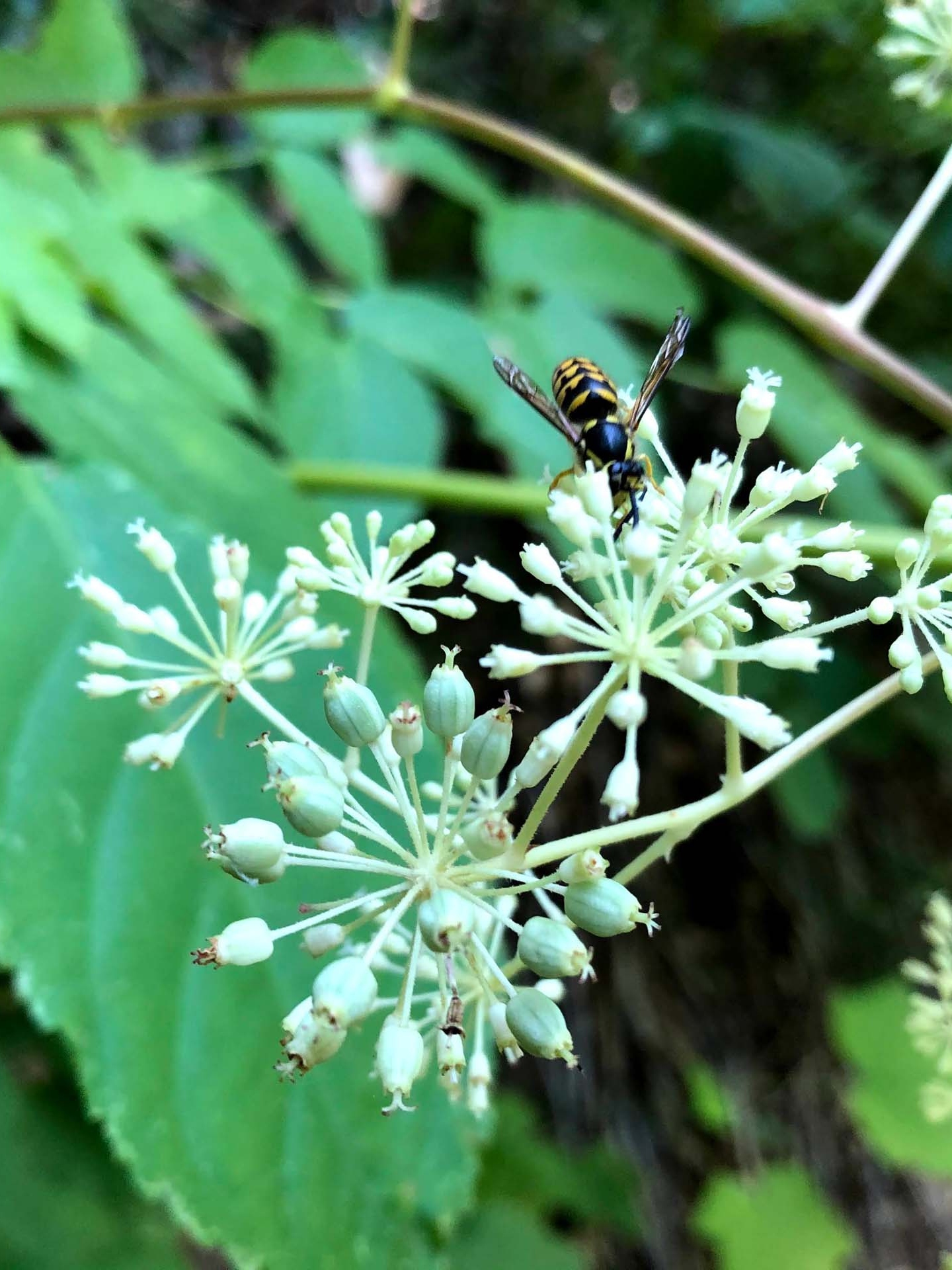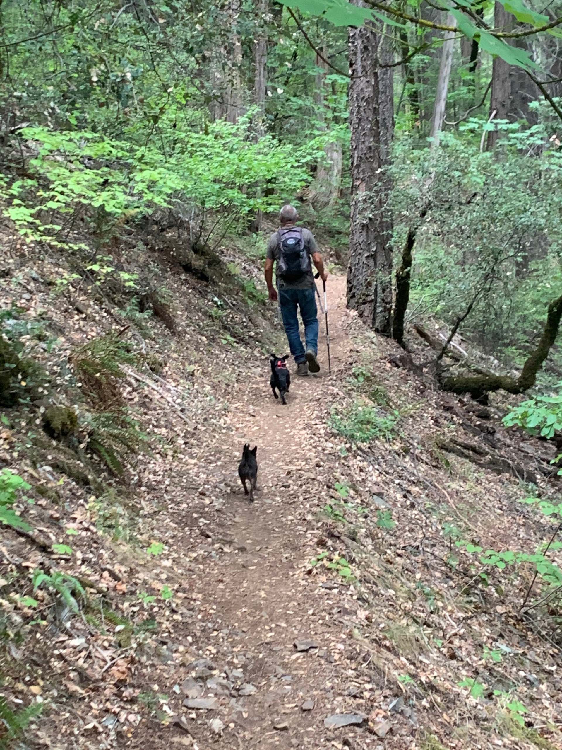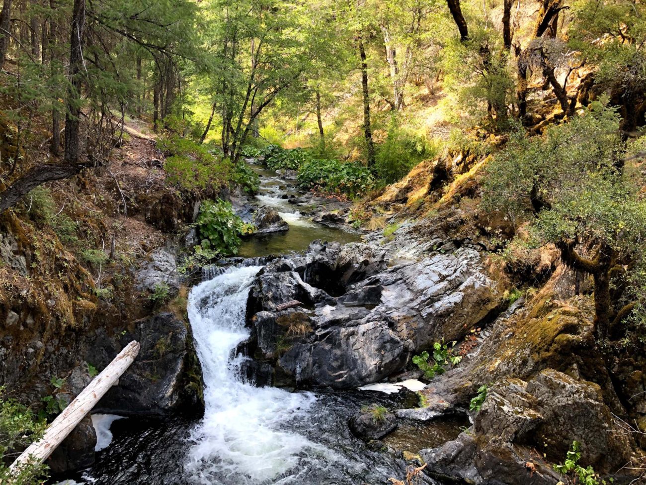
Just south of McCloud there is a well-shaded canyon trail, Squaw Valley Creek Trail, that parallels scenic Squaw Valley Creek. Along this trail, you’ll find two waterfalls: a smaller one about two miles in, and a larger one at mile three. This swiftly moving creek has its origin on Mt. Shasta at South Gate Meadow and runs year-round.
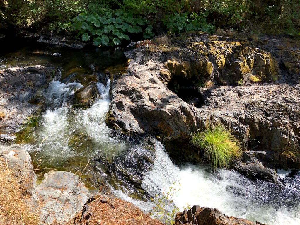
August 6, 2020. Photo by Chris Harvey.
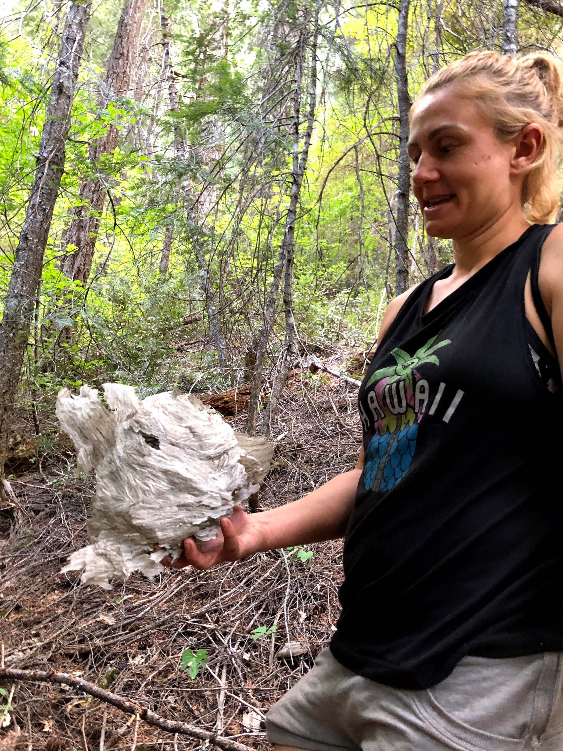
My wife, Billie, daughter, Ciara, and dogs Baxster and Tiny accompanied me on this out and back hike for a total of six miles, turning around at the second waterfall. Because the Pacific Crest Trail (PCT) incorporates a small section of this hike, we weren’t surprised when we encountered three PCTers making their way south.
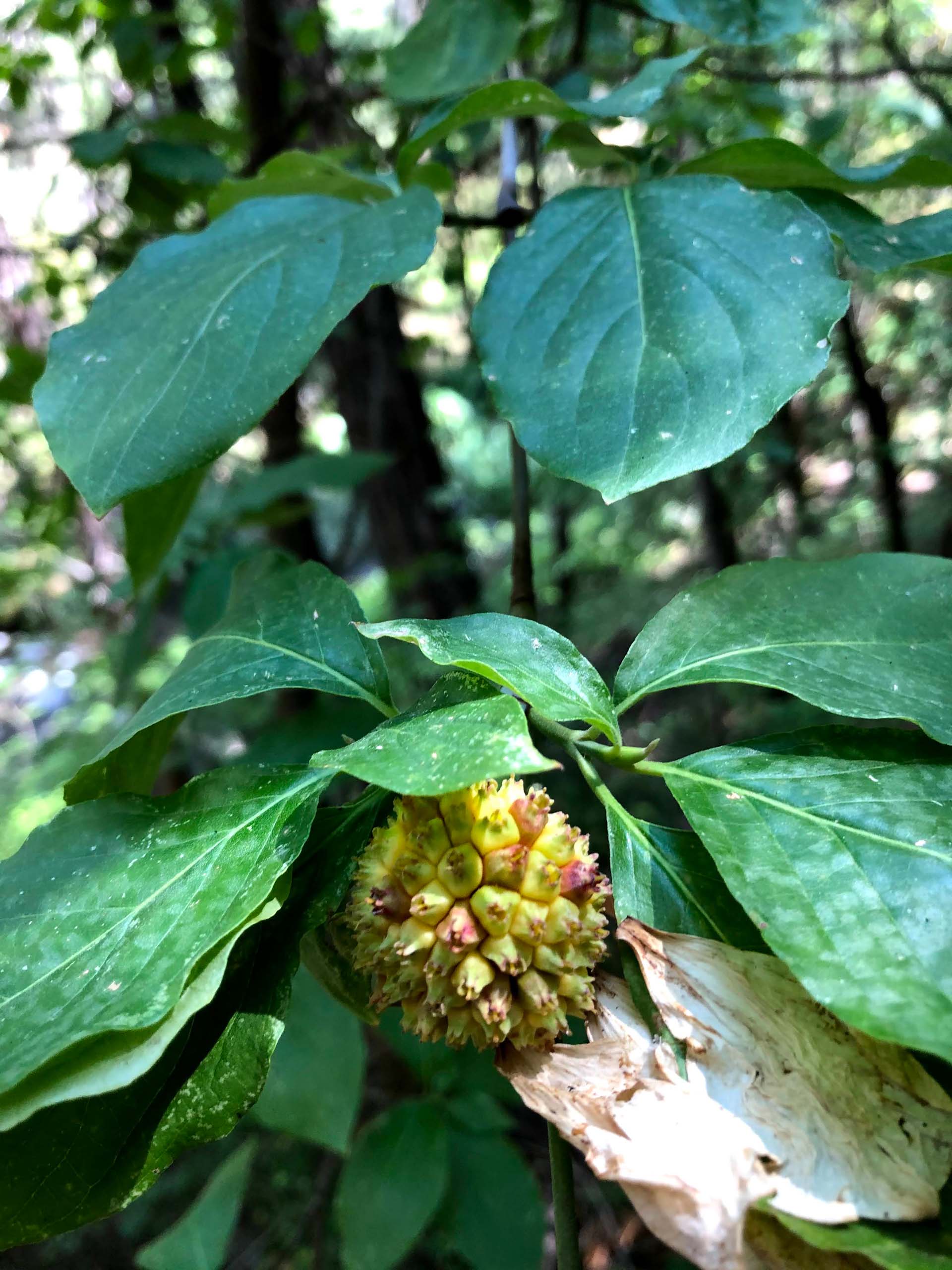
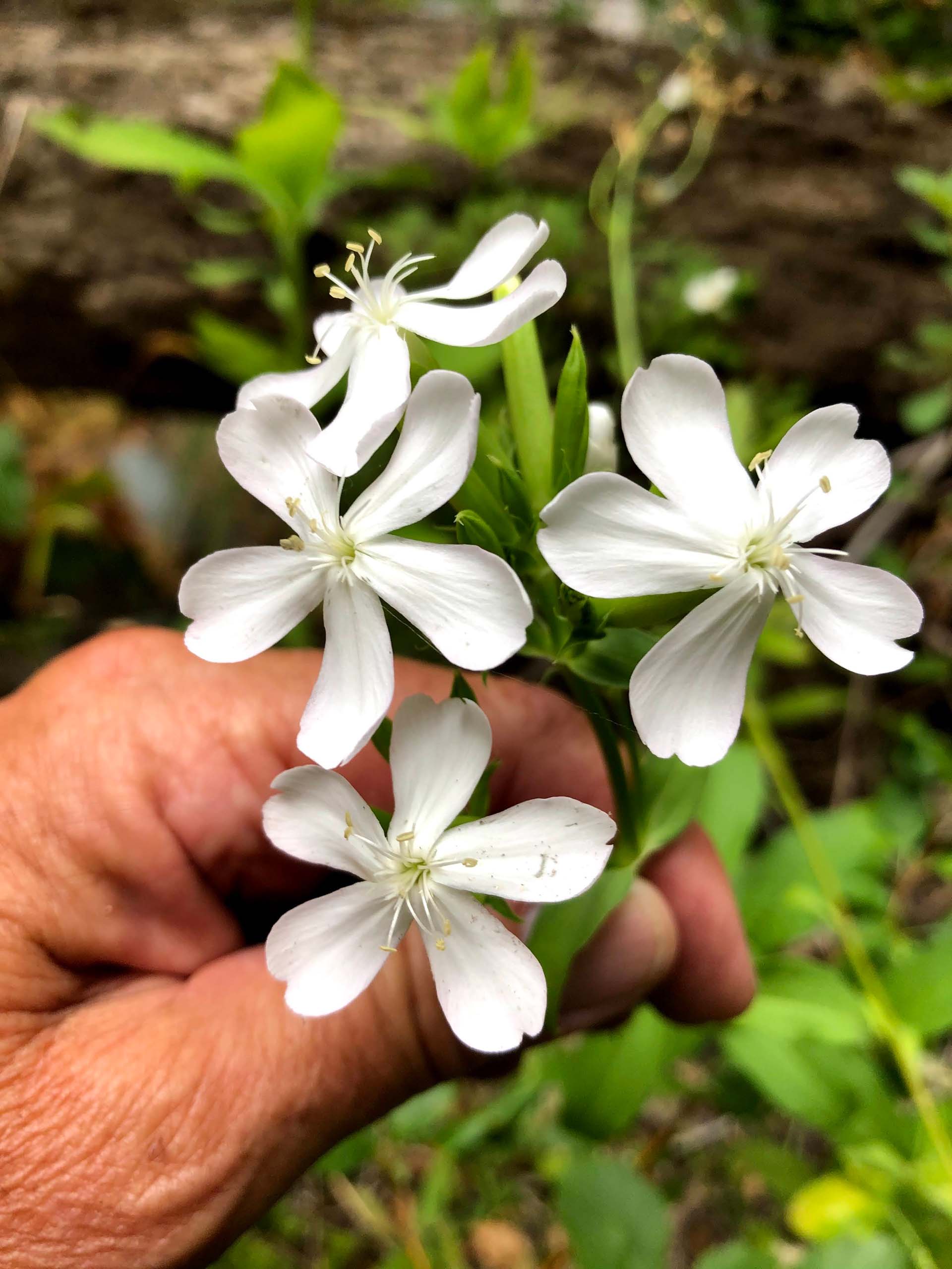
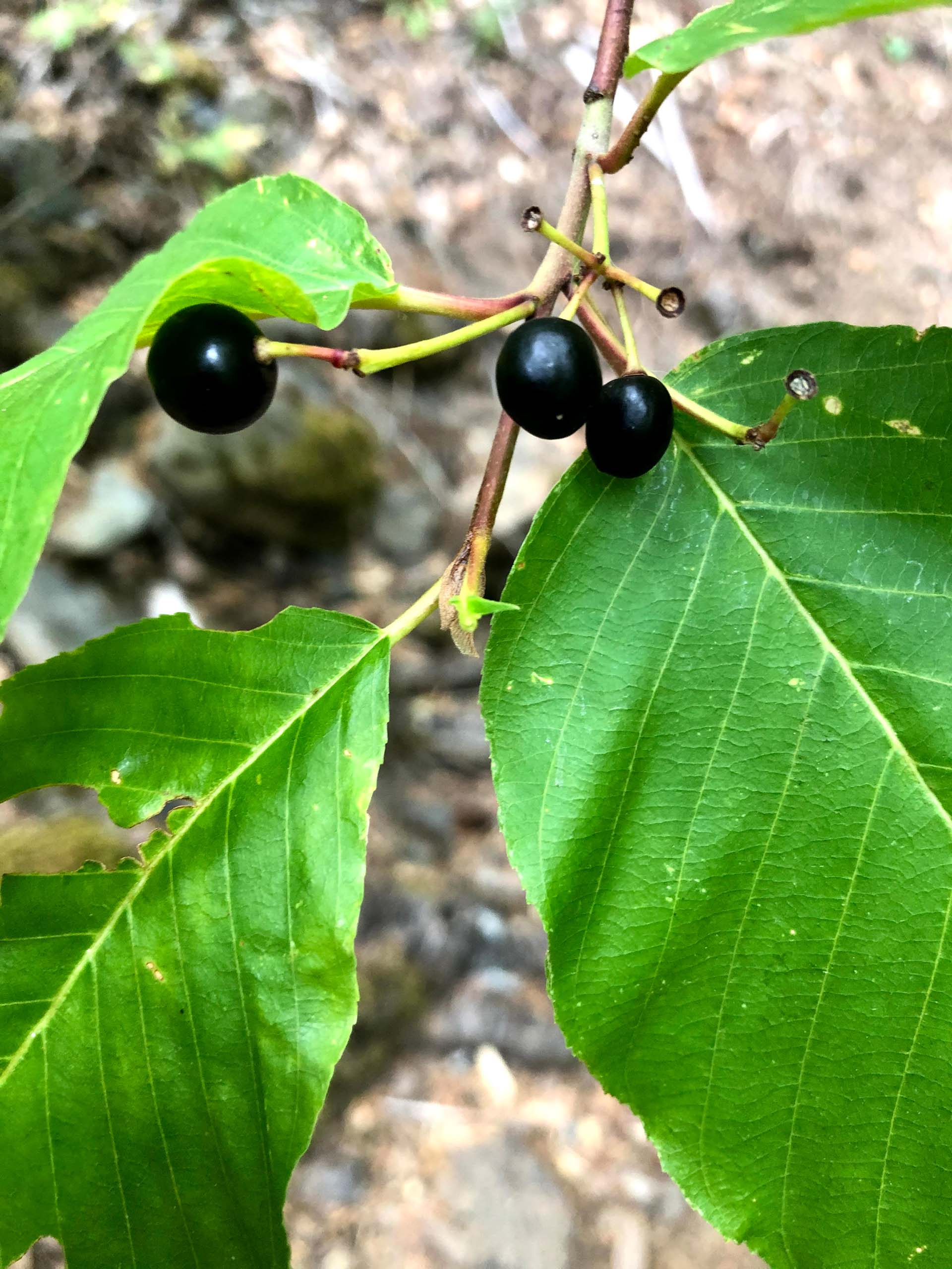
Plants that were blooming or that were already in fruit included prince’s-pine, California harebell, false Solomon’s-seal, Pacific yew, California spikenard, Pacific dogwood, common soapwort, cascara, and Sierra gooseberry.
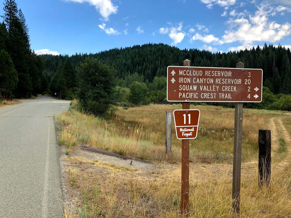
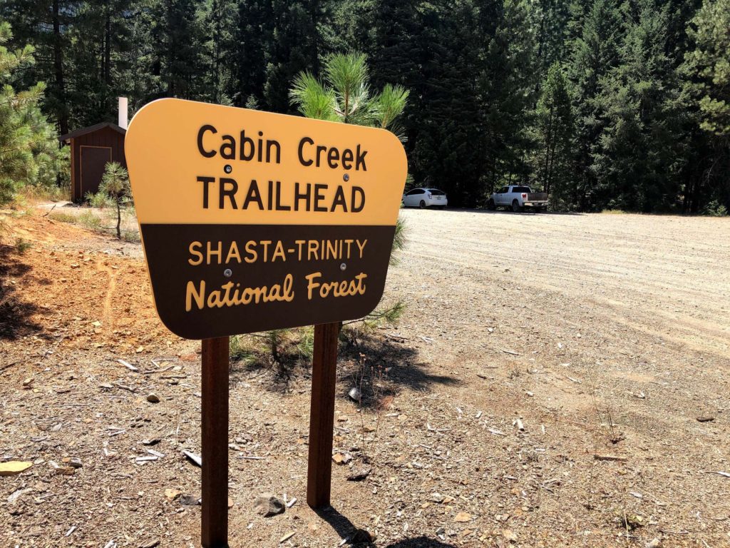
To get to the Cabin Creek Trailhead (so called because Cabin Creek runs into Squaw Valley Creek near the beginning of the trail), take the CA Highway 89 exit on I-5 and drive to the intersection of Highway 89 and Squaw Valley Road near downtown McCloud. Turn right (south) onto Squaw Valley Road and proceed six miles. Just past Friday’s RV Retreat, turn right onto the well-maintained dirt road signed Squaw Valley Creek and travel three miles to arrive at a large parking area signed Cabin Creek Trailhead.
I would rate this hike as moderate in terms of difficulty. The elevation gain is ~300 feet. The trail has a few rocky sections and one spot where scrambling over uneven terrain is necessary. Dogs are permitted on the trail.
If at the end of the hike, you find yourself hungry and thirsty, I highly recommend a stop at Dunsmuir Brewery Works on your way home. The food is delicious, and a variety of beers (made on site) are both tasty and thirst quenching! During these COVID-19 times, seating is provided on the outdoor patio. The wait staff all wear masks, and patrons must wear masks to be seated. –Chris Harvey
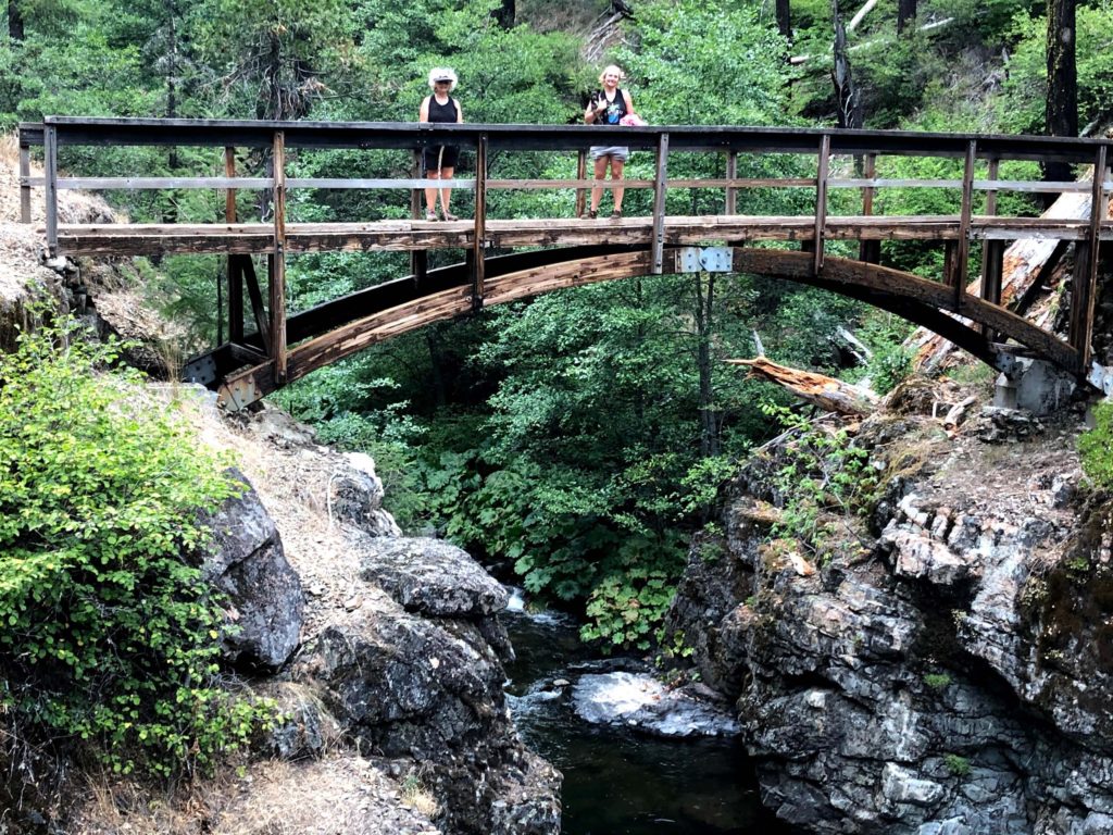
We hope you will enjoy the following slideshow of photos taken on the Squaw Valley Creek Trail hike. Unless otherwise noted, photos were taken by Chris Harvey.

