
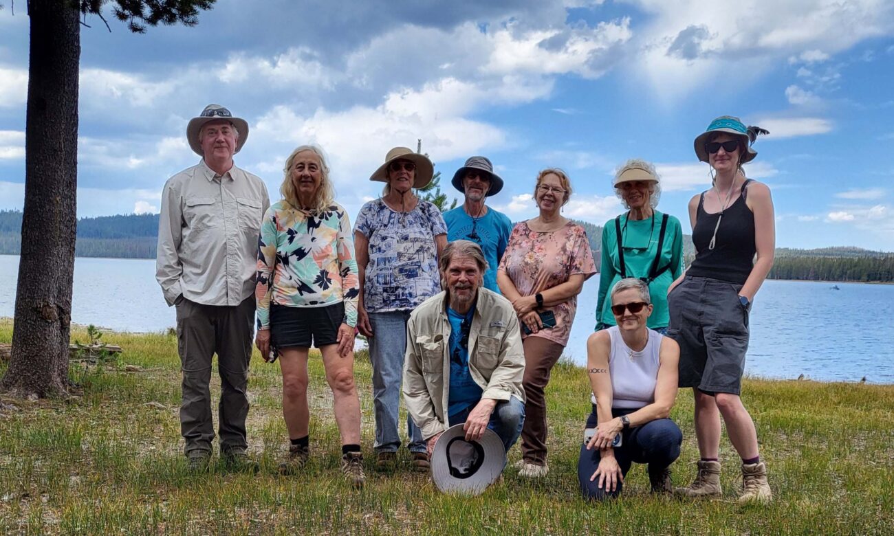
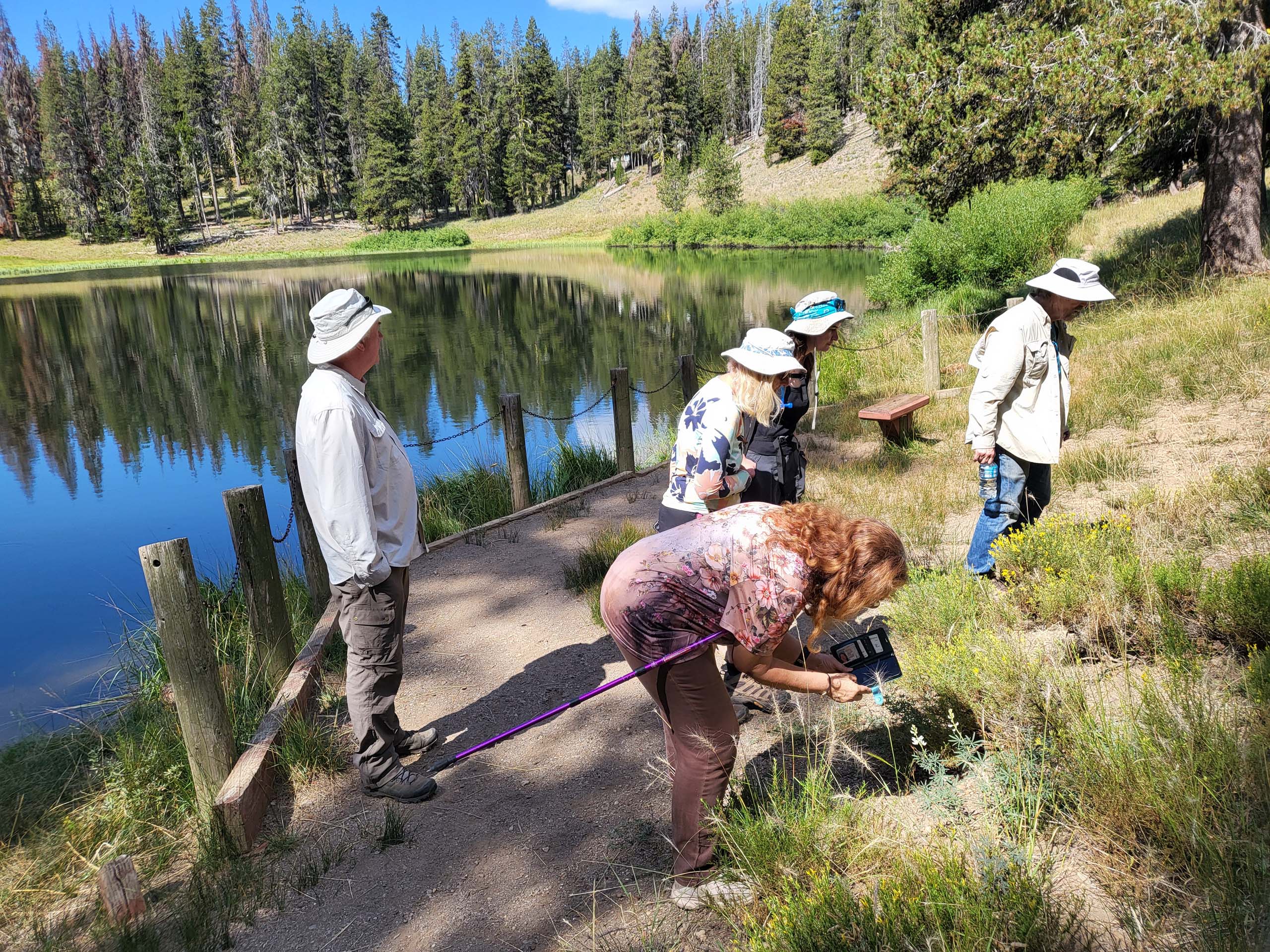
The field trip on August 24, 2025, in the newly established Sáttítla Highlands National Monument started at the Little Medicine Lake picnic site. A group of 10 nature enthusiasts walked on the shore of the small lake identifying plant species.
The field trip leader was David Ledger, who received considerable help from Bryan Drew, a professor of botany at the University of Nebraska, joining us on this all-day field trip. (Interesting side note about Dr. Drew: he’s a bit of an expert on Monardella species! You can read a recent scientific article of his here: Vegetative and trichome morphology distinguish the Monardella ovata species complex from the Monardella odoratissima species complex: taxonomic studies in Monardella (Lamiaceae) VII.)
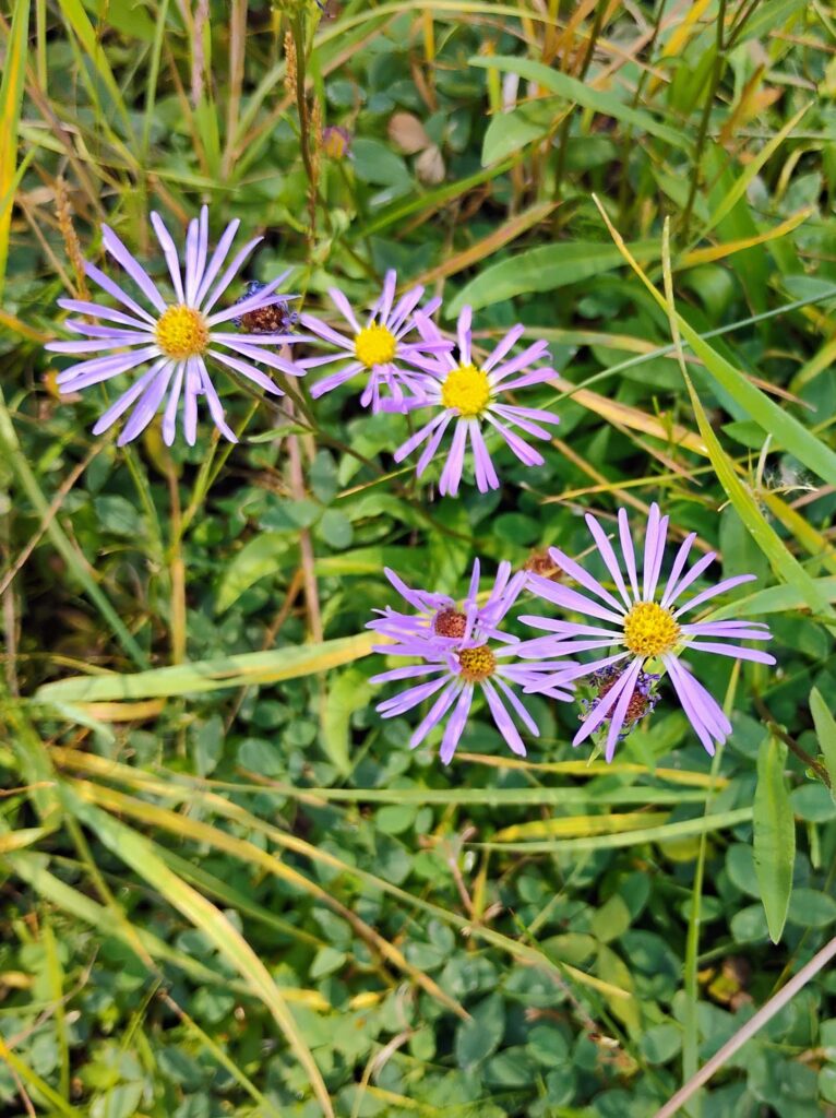
Amongst various Latin botanical names thrown around, a few common names made their way through: dwarf lupine, stickseed, primrose monkeyflower, Oregon checker-mallow, dwarf purple monkeyflower, longstalk starwort, and lodgepole pine. Interestingly, the Forest Service is currently mitigating a problem with invading bark beetles by applying pheromones to the lodgepole pines that tell the beetles, “This tree is already occupied, move on.”
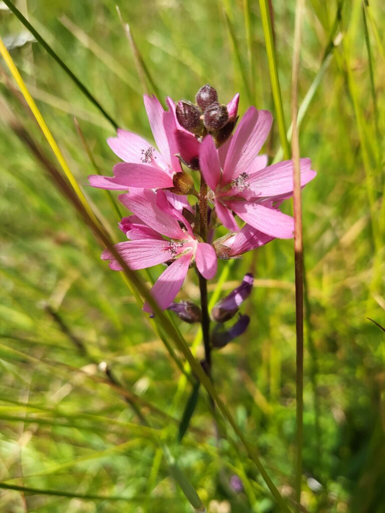
Photo © Doug Mandel.
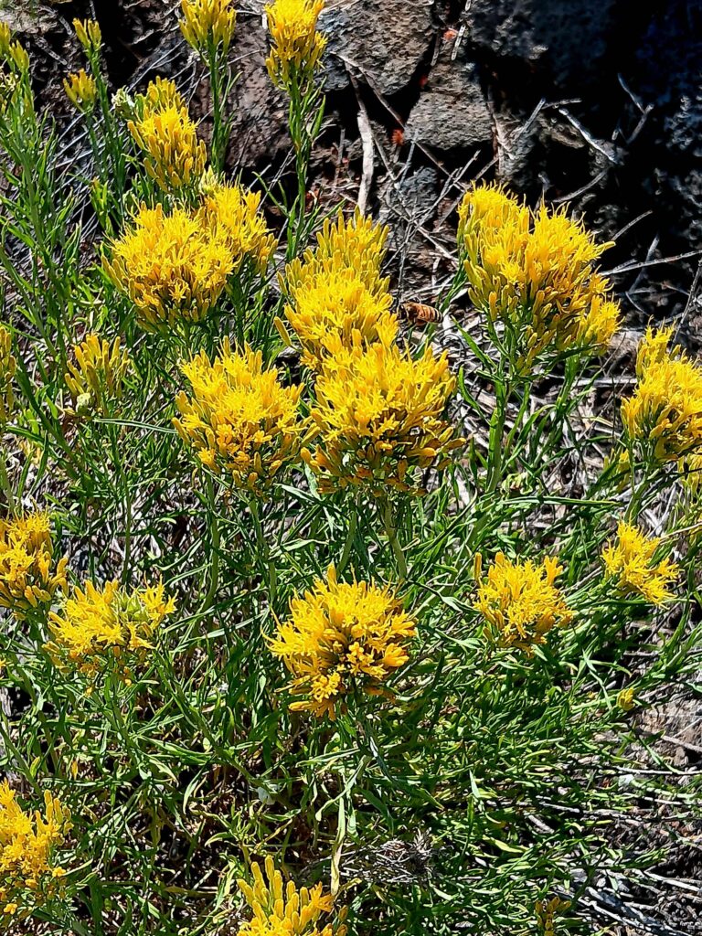
Photo © Brigitte Robertson.
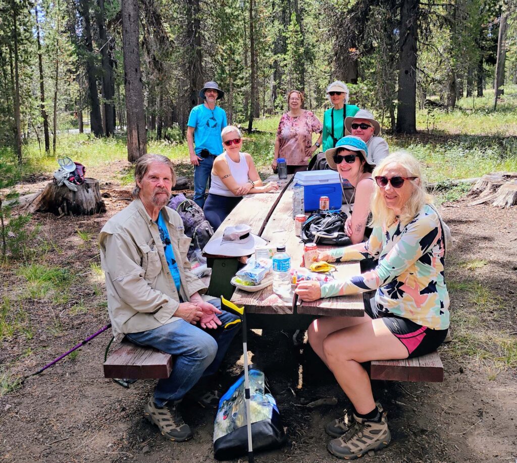
Lunch was eaten at a picnic table overlooking the lake, where Dyane Osorio, Executive Director of the Mother Lode Chapter of the Sierra Club, kept the hikers energized with well-balanced snacks. The Mother Lode Chapter is based out of Sacramento and covers this area. Currently, the Shasta Group of Sierra Club is going through a reorganization under the Mother Lode Chapter.
After lunch, the hikers drove to the boat launch area of Medicine Lake, where the group viewed the beautiful lake scene created by a volcanic caldera. Over time, a volcanic area grows with repeated eruptions, until it reaches a cataclysmic eruption that drains the magma from the chamber within the volcano. When the chamber is empty, the summit of the volcano collapses to form a caldera, or a large depression in the land. This depression acts as a basin that fills with rain, snow, and melting ice.
This is how the Medicine Lake was formed; there are no inlets or outlets that feed the lake, which allows for unique plant and animal life that relies on deep underground aquifers supplied by water seeping into the porous volcanic rock.
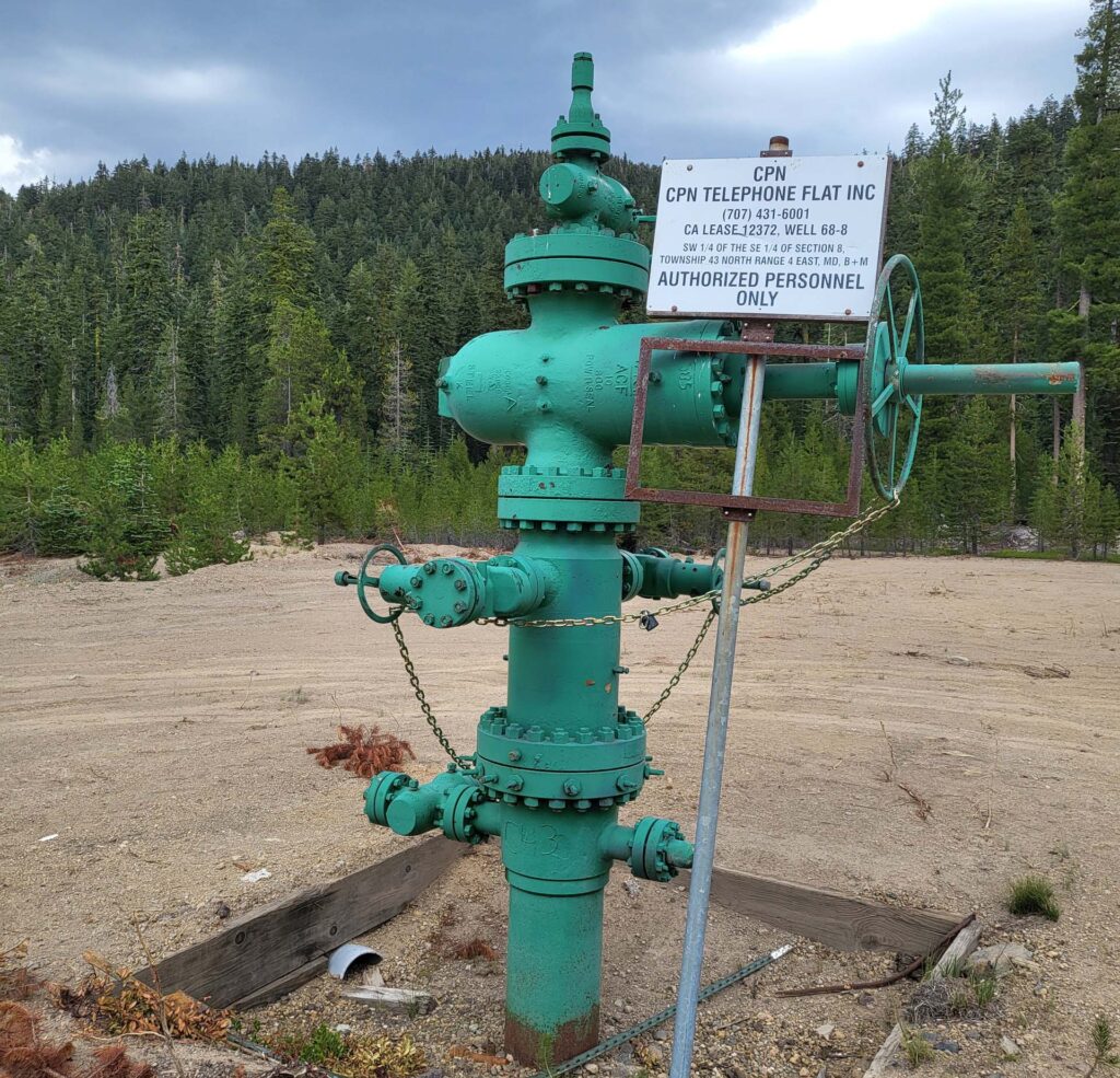
This brought us to the next stop, one of many geothermal wells drilled to harness the heat and steam from the volcanic region, and convert it into energy. Future work would install a power plant in the region and possibly give rise to dangerous chemicals during the drilling process. The process would likely drain the aquifers that supply the land, as surface water in this area is scarce.
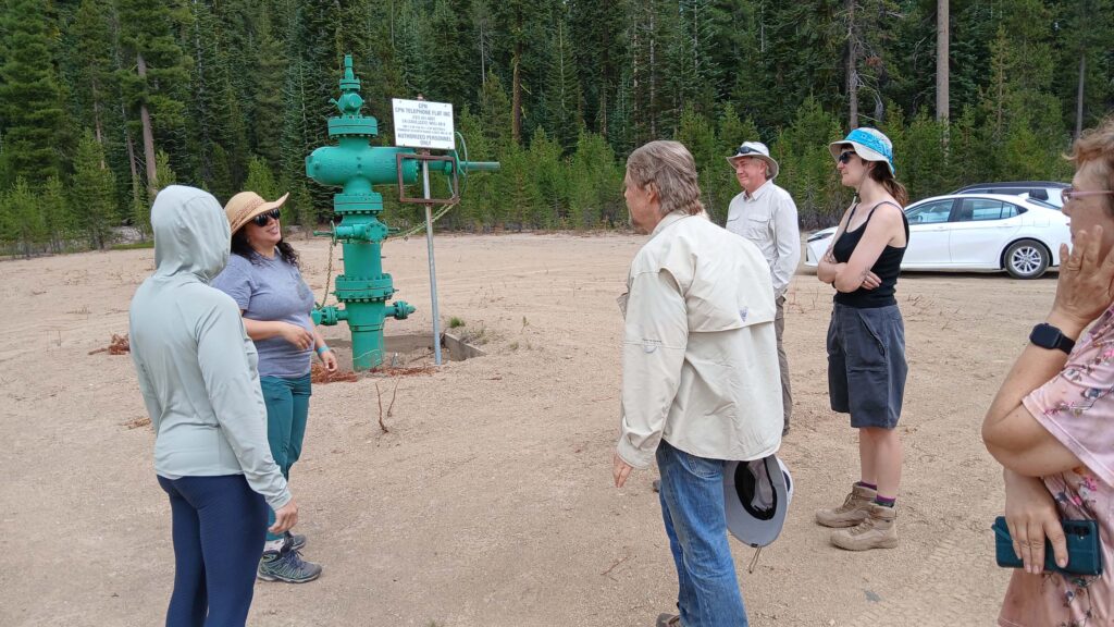
For these ecological reasons and cultural reasons, the Pit River Tribe and the Mount Shasta Bioregional Ecology Center are fighting the approval of drilling and power plant construction on both local and national levels. They are supported by the Sierra Club and the California Wilderness Coalition. Despite the apparent emptiness of the area surrounding the drill site, the group identified a number of conifers including lodgepole, western white, pine, and red fir, as well as mountain hemlock.
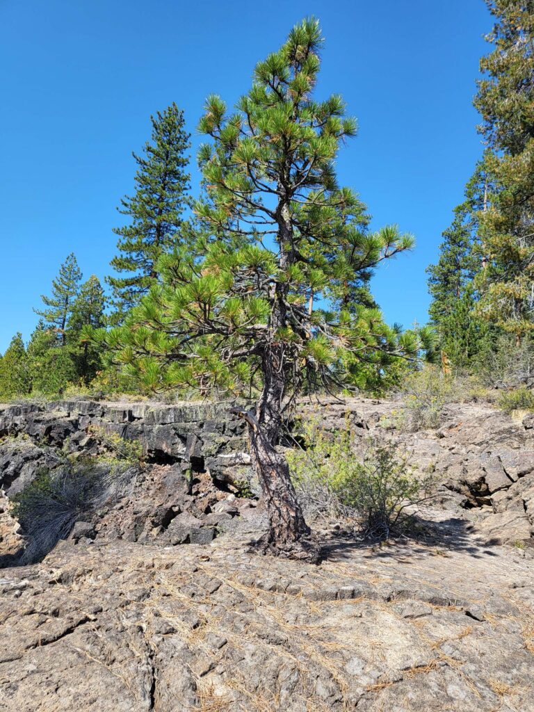
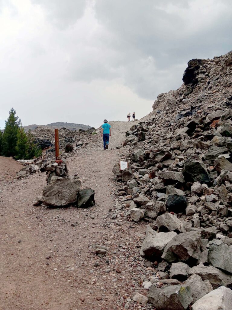
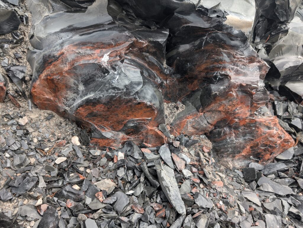
Our next stop was Glass Mountain, where lodgepole pine, mountain hemlock, and western white pine make their way through the volcanic rock and obsidian. The group waited out rain and thunder to venture out and visit the unique landscape formed by an initial eruption of pumice and ash, which then oozed out to form quickly cooling obsidian. Obsidian is unique because it is formed from a silica-rich lava that cools rapidly, preventing the formation of crystals, which allows for its glassy composition.
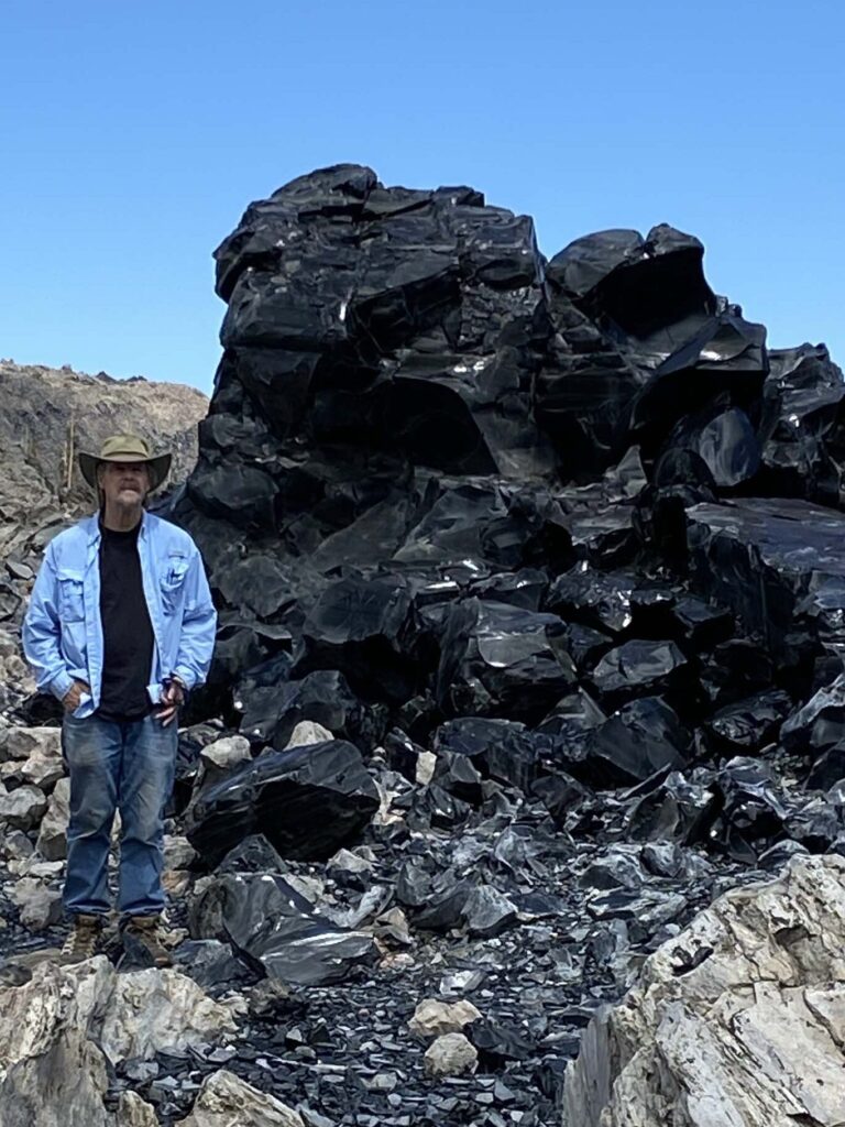
Sáttítla in the Ahjumawi language translates to “obsidian place.” The resources here were utilized in sacred and practical uses by the Indigenous peoples in this area. Because of their efforts, this area is now protected and accessible for everyone who wants to experience its beauty and magnitude.
The last stop down the road wasn’t particularly botanical, but was an interesting geological formation to witness: the Jot Dean Ice Cave. A brave few ventured into the cave and were quickly hit by a wall of cold air emanating from the ice within it. The temperature dropped significantly, which was a welcome respite from the heatwave outside. The ice covering the floor sloped down into the dark abyss.
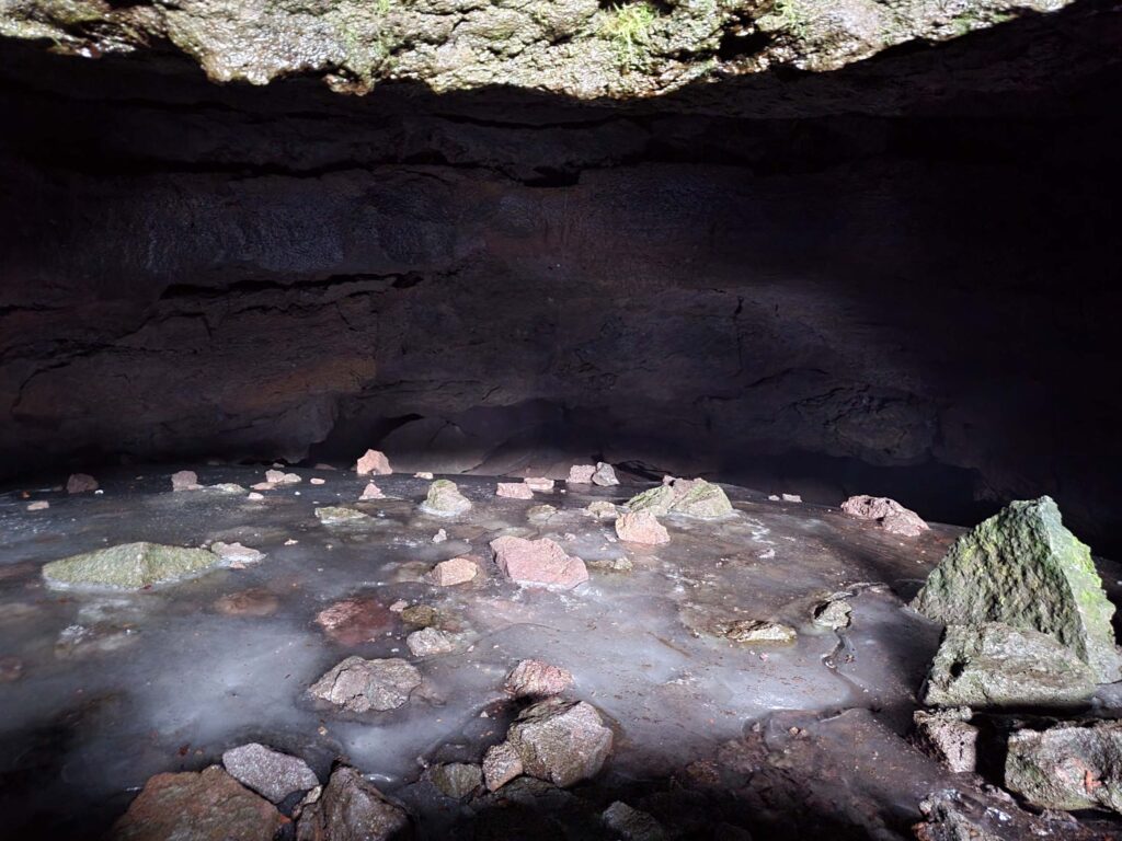
Photo © Doug Mandel.
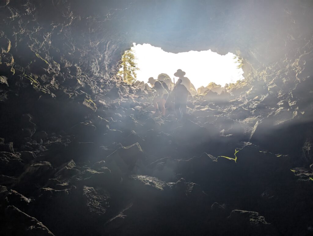
Photo © Ren Redlich.
There will be more field trips venturing into the unique landscapes of California in the future. We’d be glad to have you join us! ~Ren Redlich