
We began taking this hike every Easter Sunday since we became empty-nesters and the kids couldn’t make it home to celebrate. We pack a somewhat elaborate (for us!) picnic and head out to the bluffs over the Sacramento River, via Paynes Creek Trailhead, Sacramento River Bend Recreation Area, and revel in the vibrancy of new-spring greens and colorful wildflowers. This year we were a week late, but it was still spectacular.
Paynes Creek Trailhead is off of Bend Ferry Road, which intersects with Jellys Ferry Road at the community of Bend, Tehama County. It’s at the west end of Hog Lake Trail, an abandoned road that goes all the way to Hog Lake. The trail that we took branches off of Hog Lake Trail early on and makes a loop that generally follows Paynes Creek, the Sacramento River, and Turtle Creek, before returning to Hog Lake Trail.
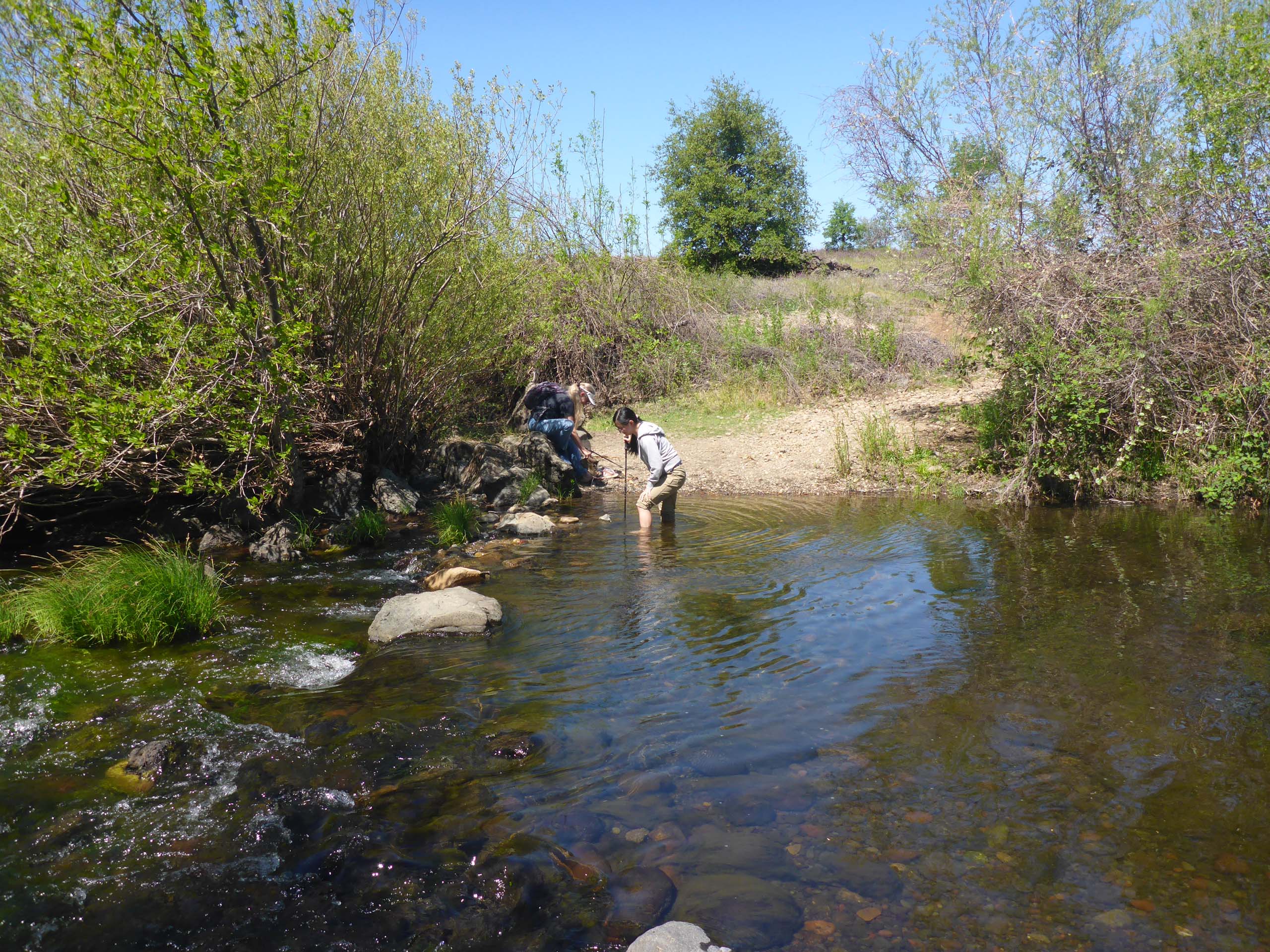
This is an overall easy hike of ~5 miles. There are a couple of steep spots that need caution to traverse safely, but for the most part, the trail is level. Probably the most difficult part comes right at the beginning: Paynes Creek must be forded. The depth and width of the creek pretty much dictate hikers remove their boots and roll up their pants to get across. The water can be moving quite swiftly; we highly recommend hiking poles!
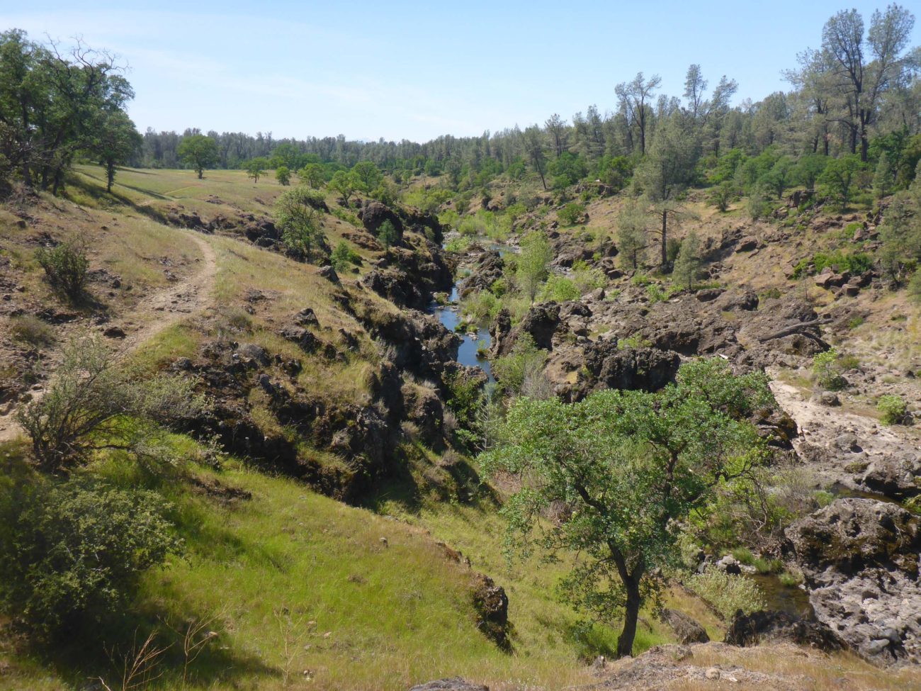
On the other side of the creek, you’ll go up the bank, through a gate in a barbed-wire fence, and immediately cross a culvert to find an unmarked but well defined trail that runs diagonally away from the road, to your right. This trail will take you down to Paynes Creek riparian habitat, and generally follows the creek downstream, moving in and out of drainages, until it pops out onto a plateau, with dramatic views of the creek that is now far below the trail.
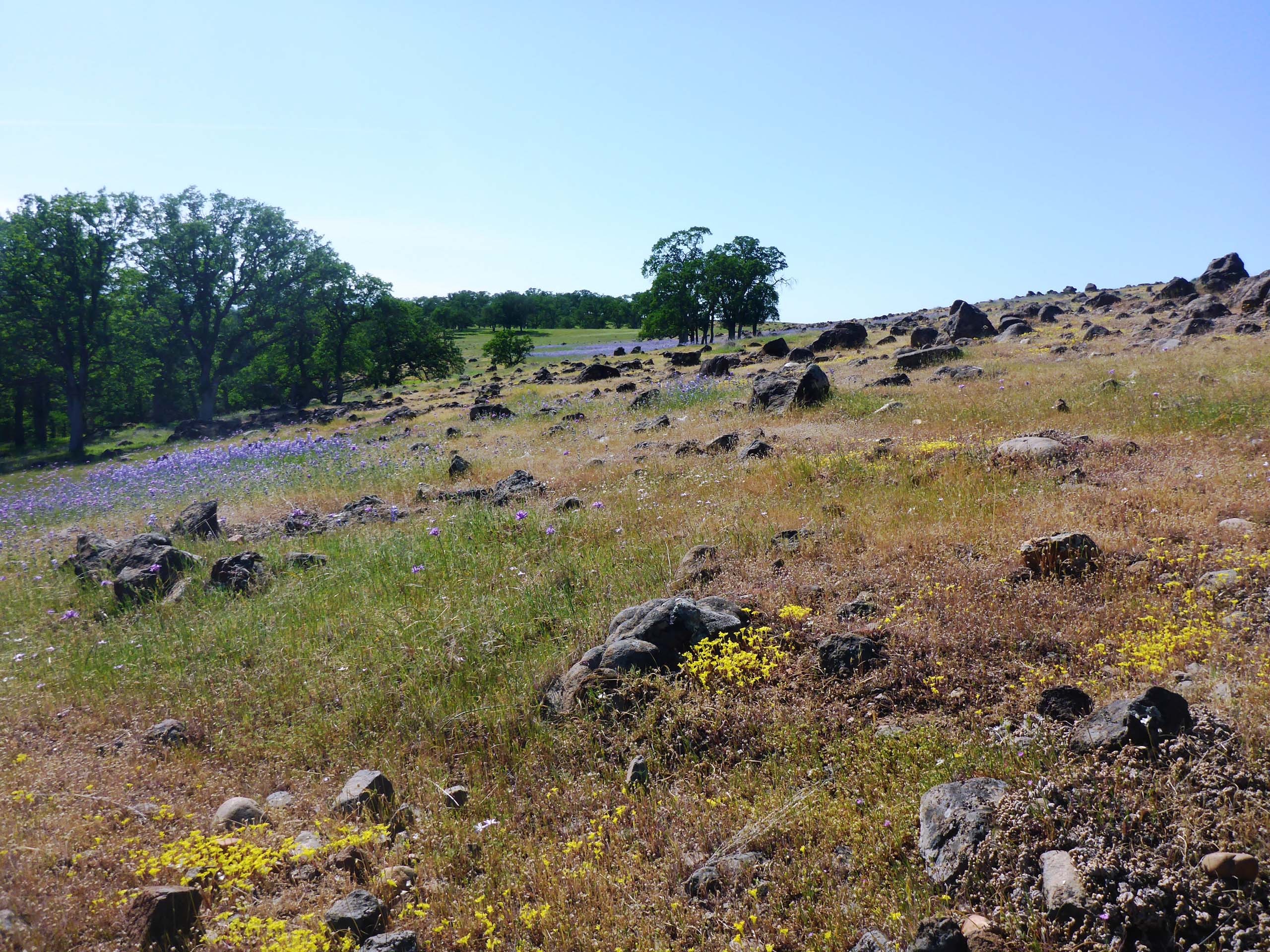
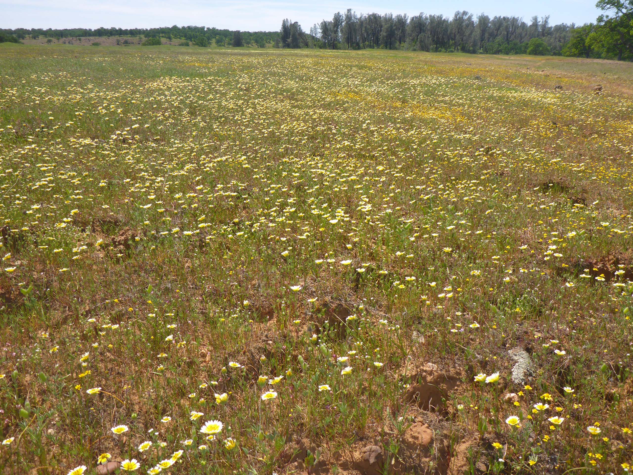
The wildflower pools of yellows, whites, and lavenders on this plateau never fail to amaze. Cows may be grazing at a distance, but we have never seen another human soul on this trail.
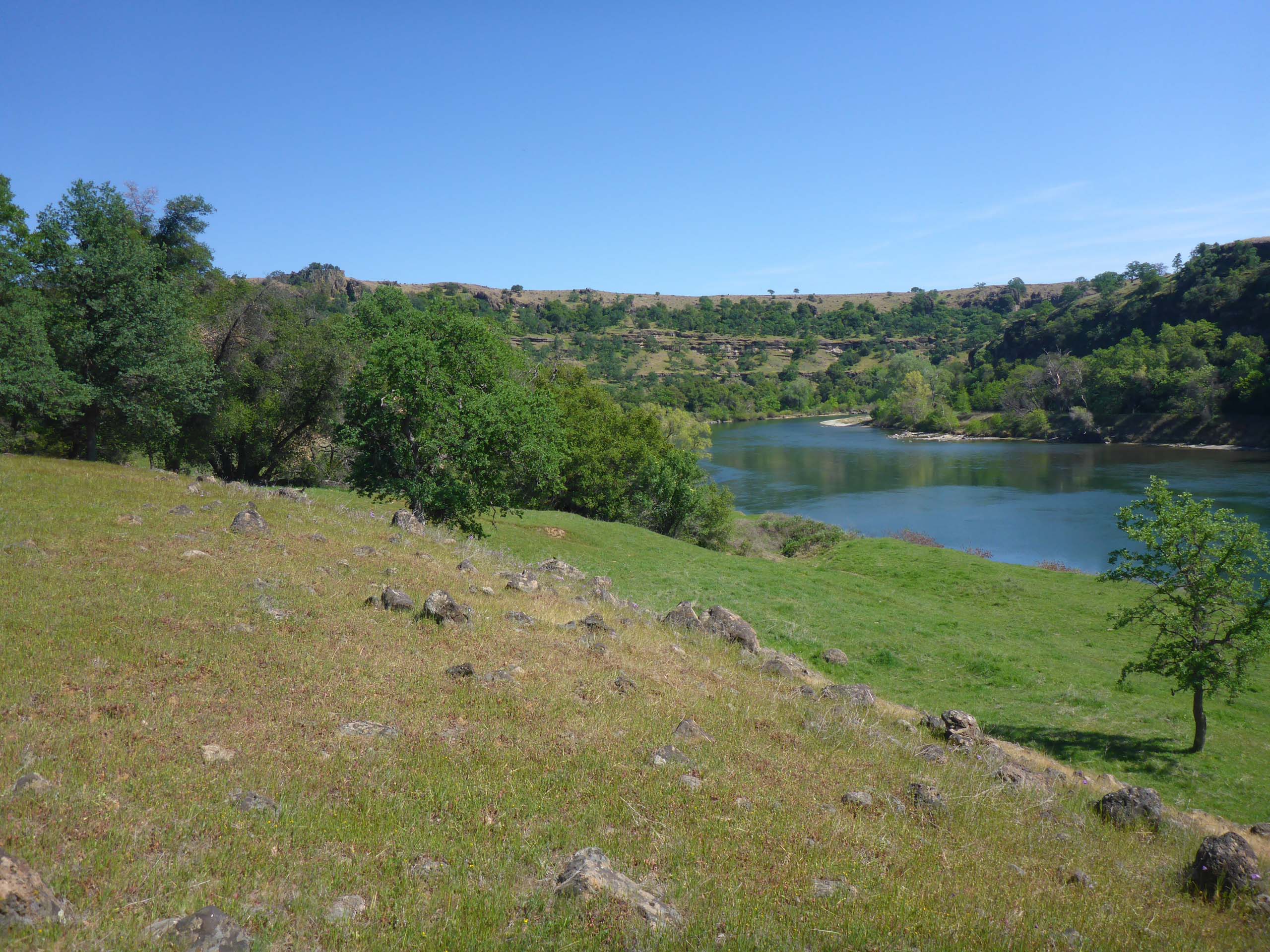
About two miles from the trailhead, Paynes Creek flows into the Sacramento River, and the trail turns to follow, but it becomes difficult to stay on this section of the trail as the bluffs call to us to take in the view. Which is breathtaking, always.
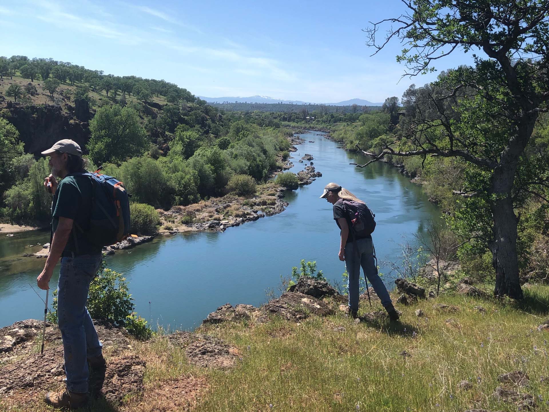
The trail continues along the bluff before dropping down closer to the river bank. There are many places to access the river from the trail along this lower section, and you can hike the river’s edge to Turtle Creek if you so desire.
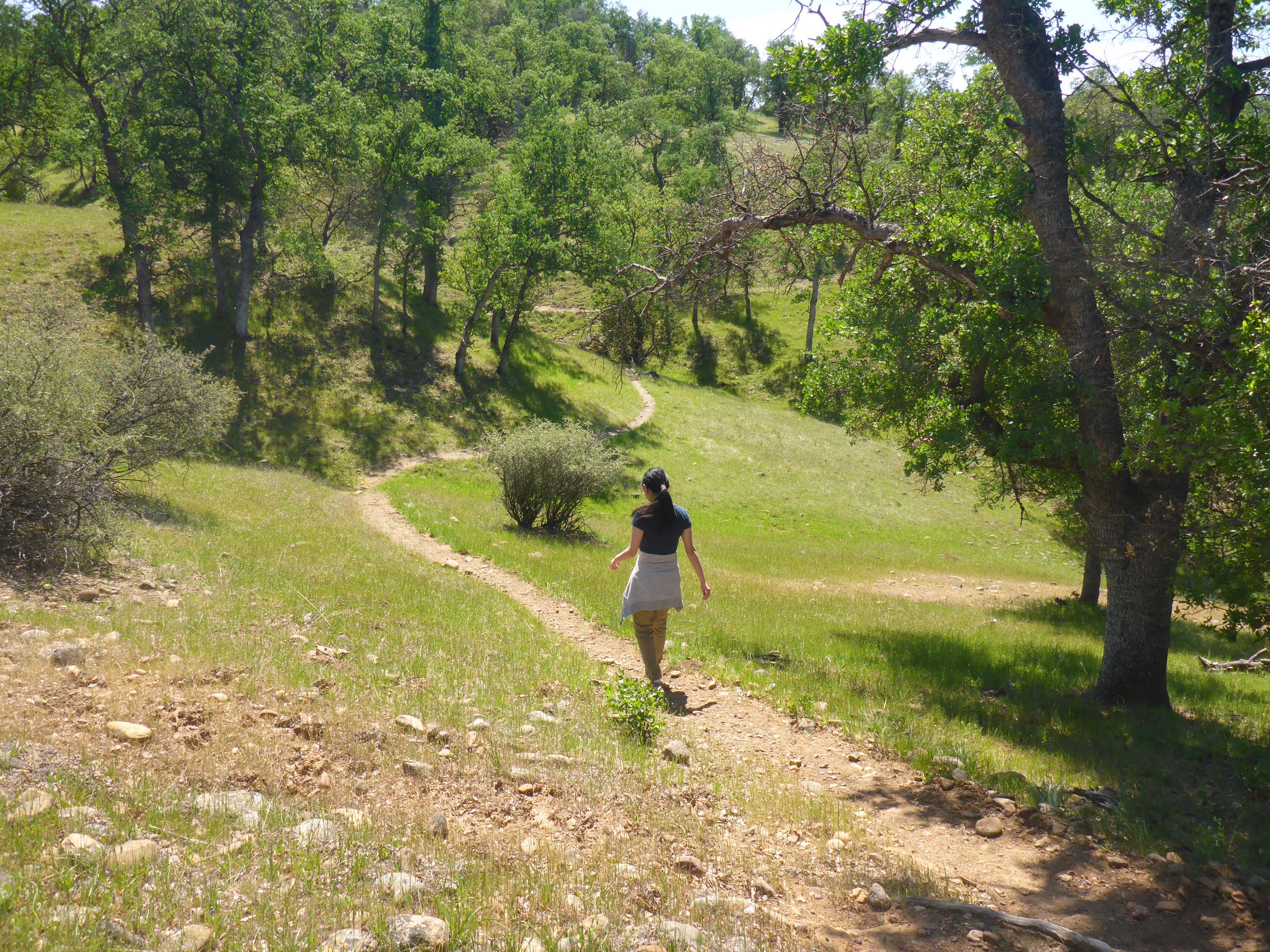
The closer you get to Turtle Creek, the less defined the trails become, making this part of the hike a little sketchy. Once you get to Turtle Creek, stay above it and follow it upstream. If you get high enough above Turtle Creek, you will find yourself on a trail that seems to be called the Vista Trail these days; we remember it as the Flume Trail. In any case, this trail will take you to Hog Lake Trail, and back down to Paynes Creek Crossing.
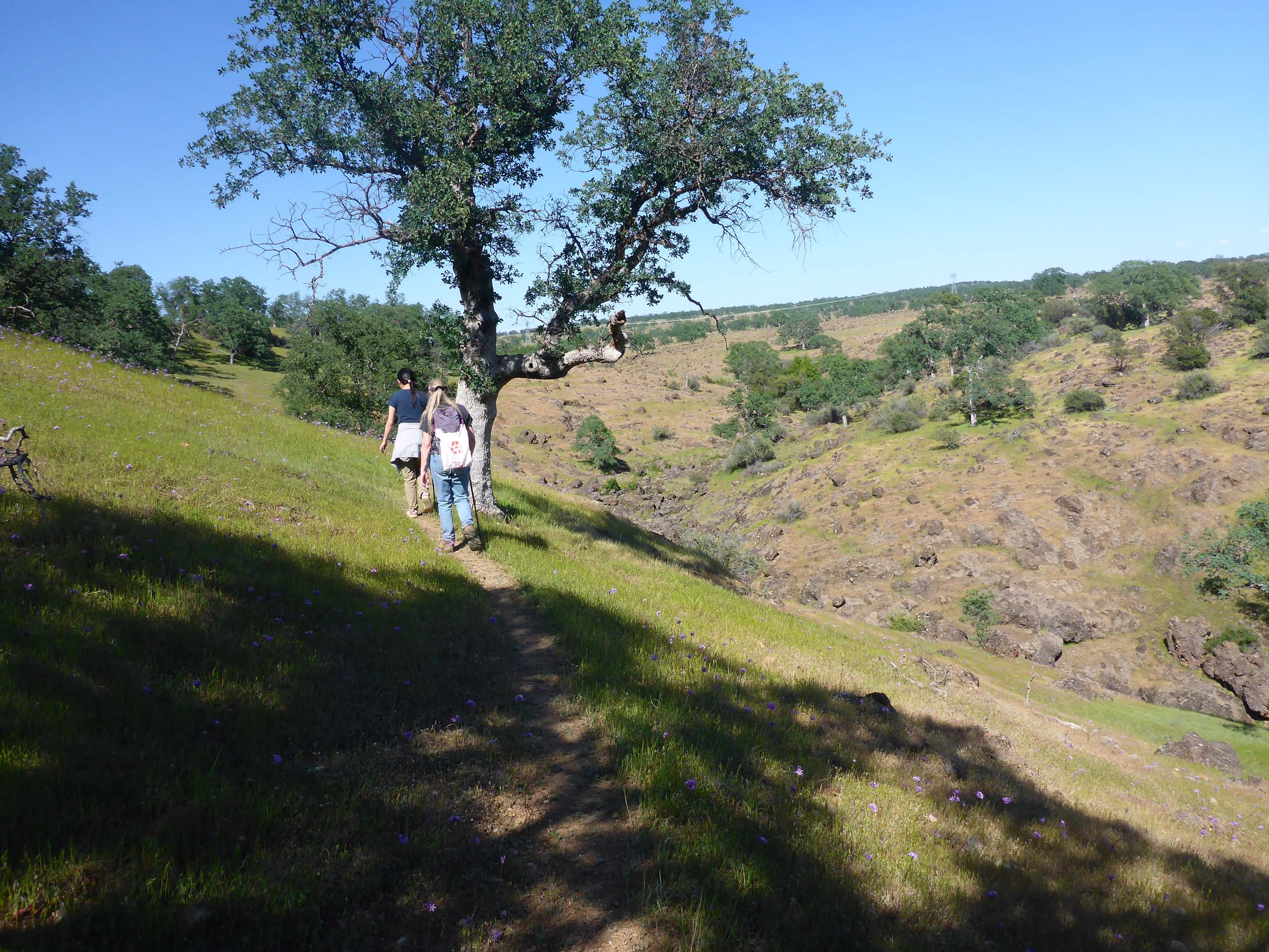
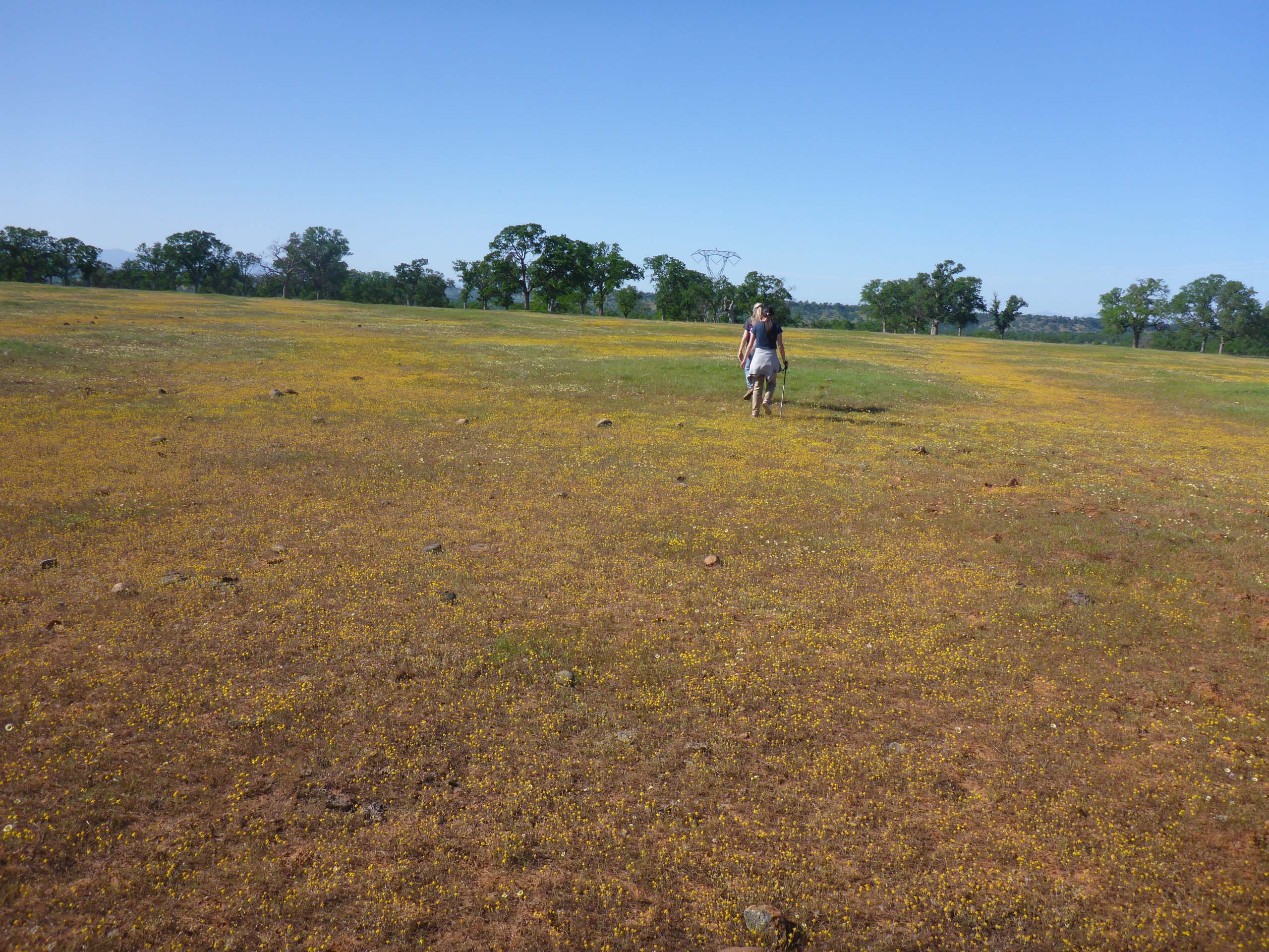
But even if you don’t find the Vista Trail, just continue north until you hit Hog Lake Trail. A powerline runs the length of the trail, so it is east to keep one’s bearing.
This is a glorious hike at this time of the year. It does take a certain comfort level to complete the loop, but you can always turn around and retrace your steps on the well-marked trail whenever you like. The first 2.5 to 3 miles are the most spectacular, anyway. Give it a try, but go now! Things are drying up quickly this year!
Here is slide show of some of the wildflowers and fun sights that we saw. All photos by Don Burk unless otherwise noted. Enjoy! ~Laurie & Don Burk


