
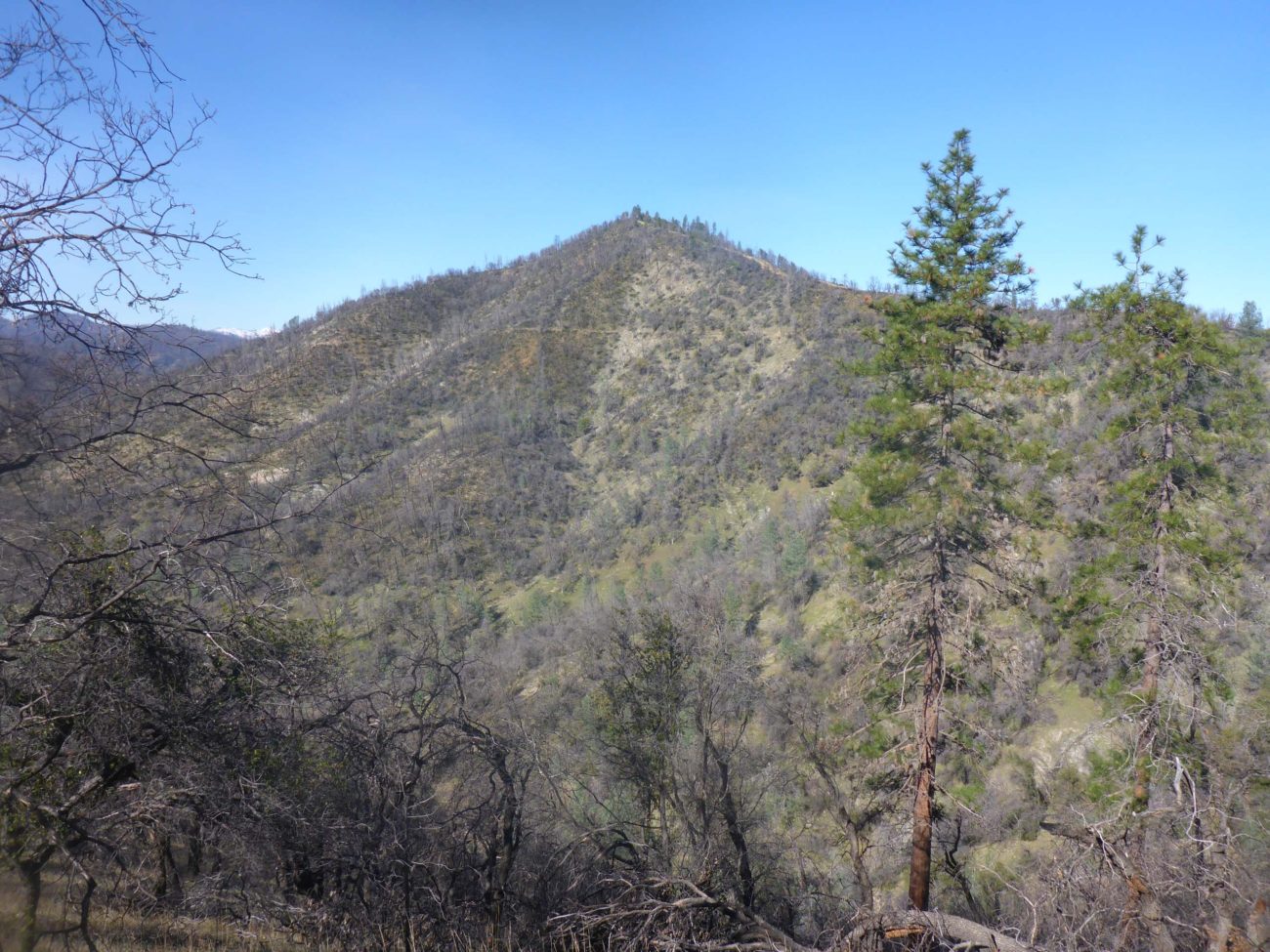
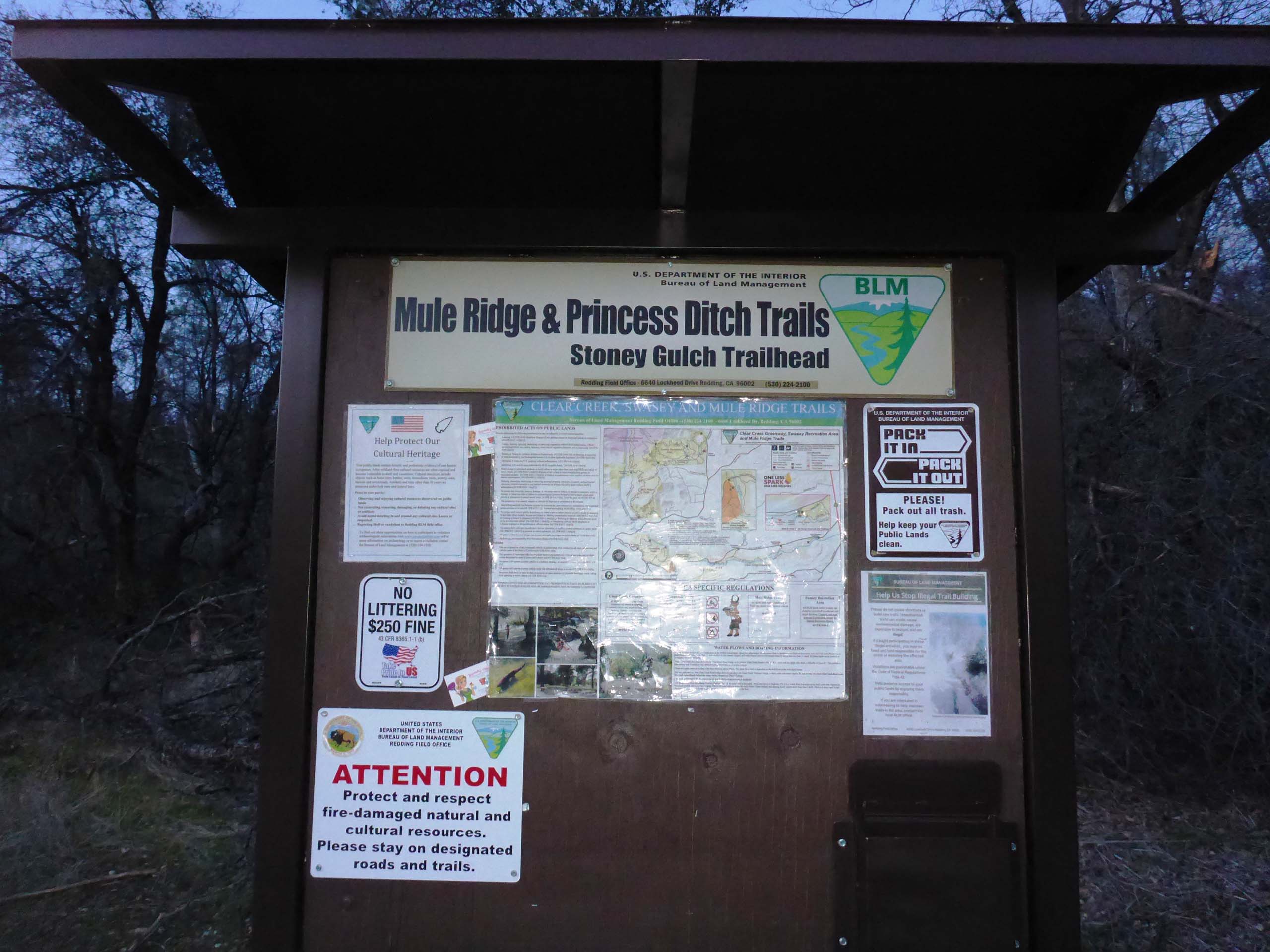
In hopes of finding pre-spring blooms, we thought we’d see what was happening around Mule Mountain, in Redding’s Swasey Recreation Area. As this popular recreation area can be very busy, especially on fine-weather weekends, we chose to start from the lesser used Stoney Gulch Trailhead on Muletown Road, where the pavement turns to dirt. Good choice. There was only one other vehicle at Stoney Gulch Trailhead when we arrived, versus about a dozen at Oak Knoll Trailhead, which is much bigger and closer to Placer Road.
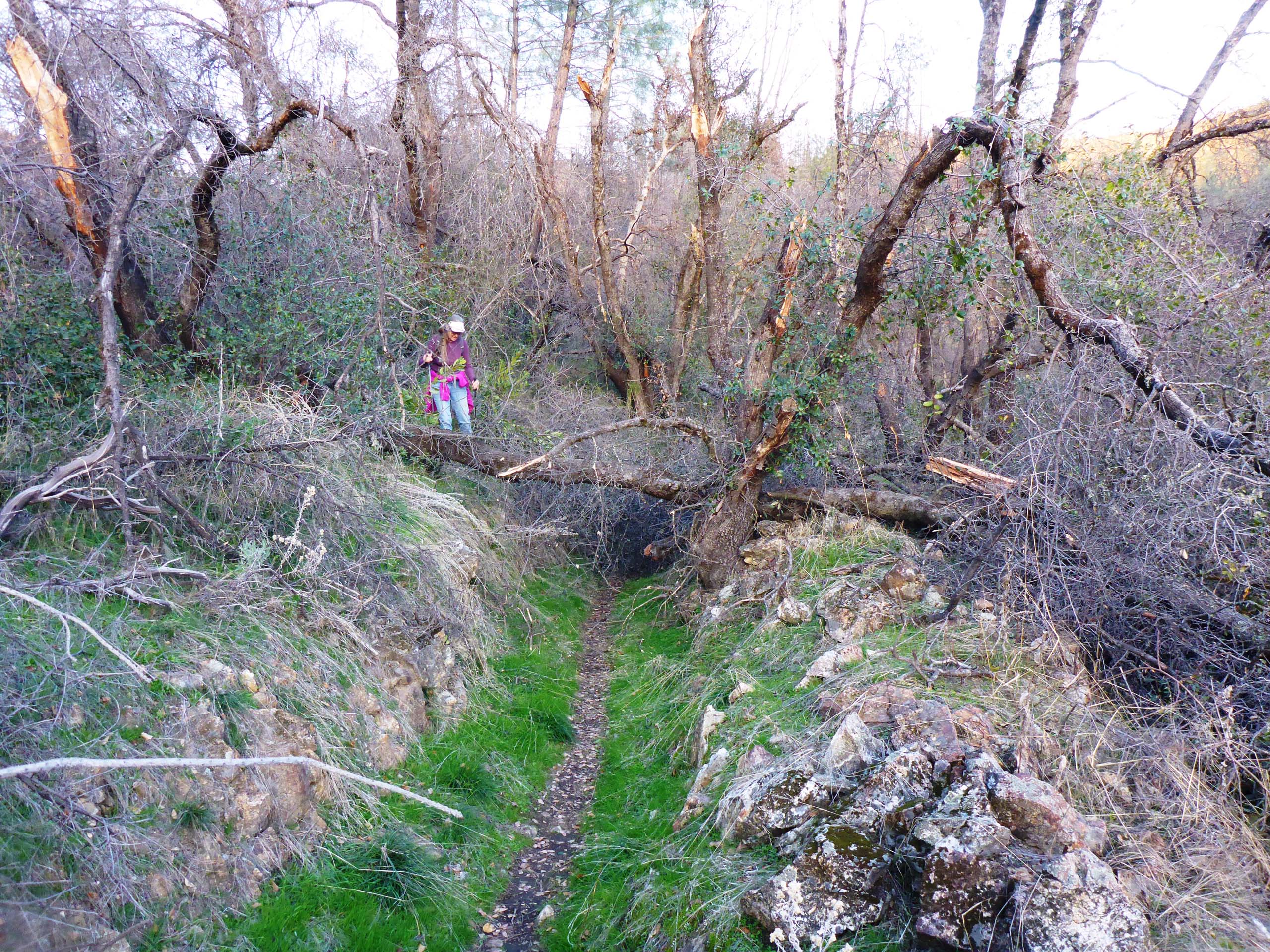
To get to Mule Mountain, we took the trail from Stoney Gulch and turned right (south) onto Princess Ditch Tail. (This trail literally runs inside a historical ditch that once served the Princess Mine; the berming and rock work are still intact for much of this trail’s length.) In ~1 mile, this trail splits into upper and lower trails, which converge again at a significant intersection. While the lower trail is longer and perhaps more interesting as it includes views of a pretty little creek with a waterfall, we recommend taking the upper trail at this time. We made the mistake of taking the lower trail on our way out, only to find it unmaintained, with numerous fallen branches and trees, many of which we could not shift and had to figure out how to get over, around, or through.
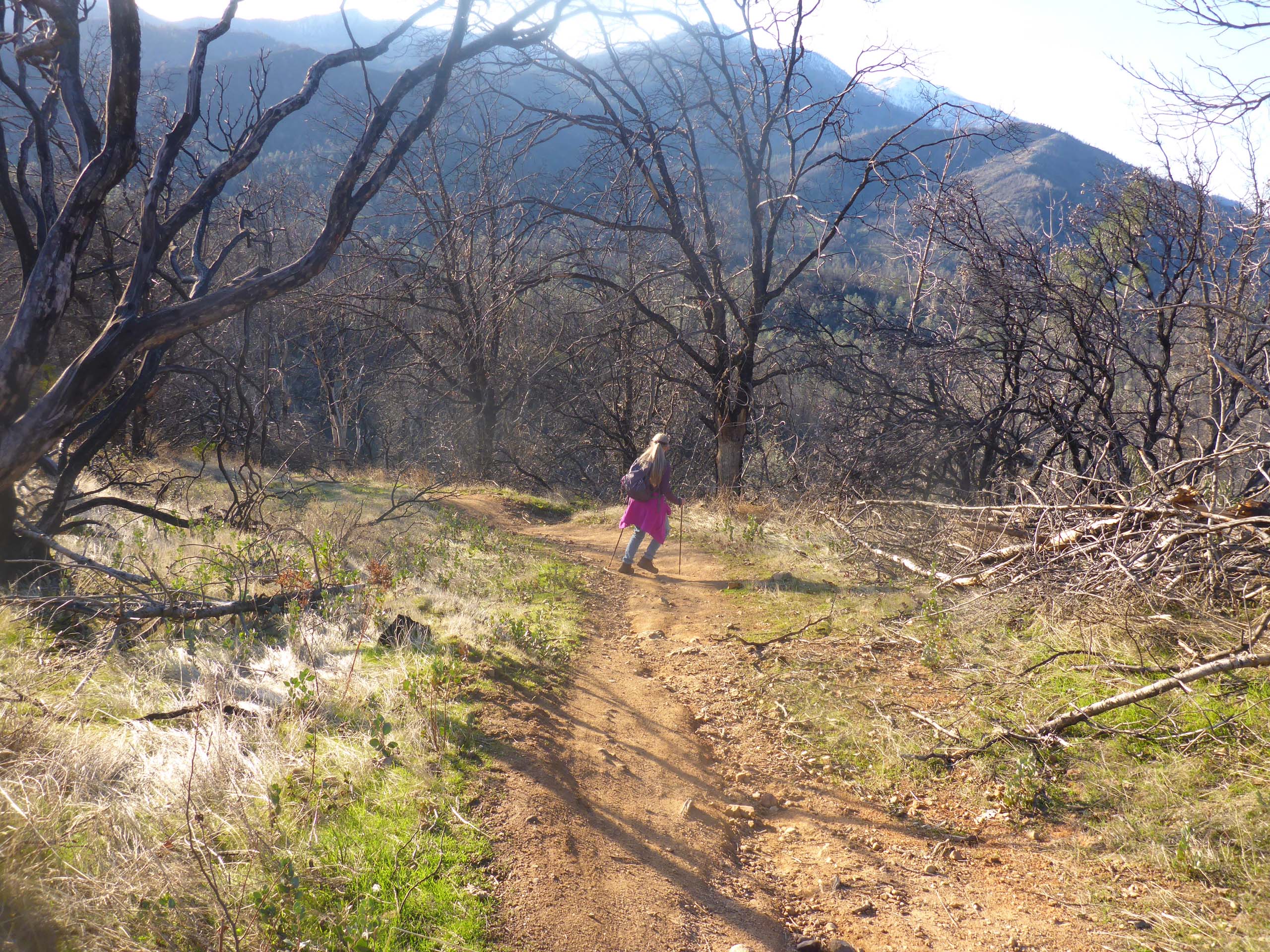
At the trails’ convergence, we began the ~0.75-mile ascent to Mule Mountain ridge on Cosmos Way. This trail ranges from very steep to insanely steep. Mountain bikers come barreling down this trail like nobody’s business. Trail etiquette has it that bikers are to give right of way to hikers, but these guys are moving so fast it is doubtful they could stop if they wanted to. We don’t press the issue and jump out of the way just as soon as we hear them coming.
At the end of Cosmos Way, we took the left-hand (north) trail, Mule Ridge Trail, to the top of the ridge at Black Bear Pass, and continued following it north along the east-facing side of Mule Mountain to Mule Mountain Pass.
Five separate trails meet at Mule Mountain Pass, one of which goes steeply down to Salt Creek in Whiskeytown National Recreation Area.

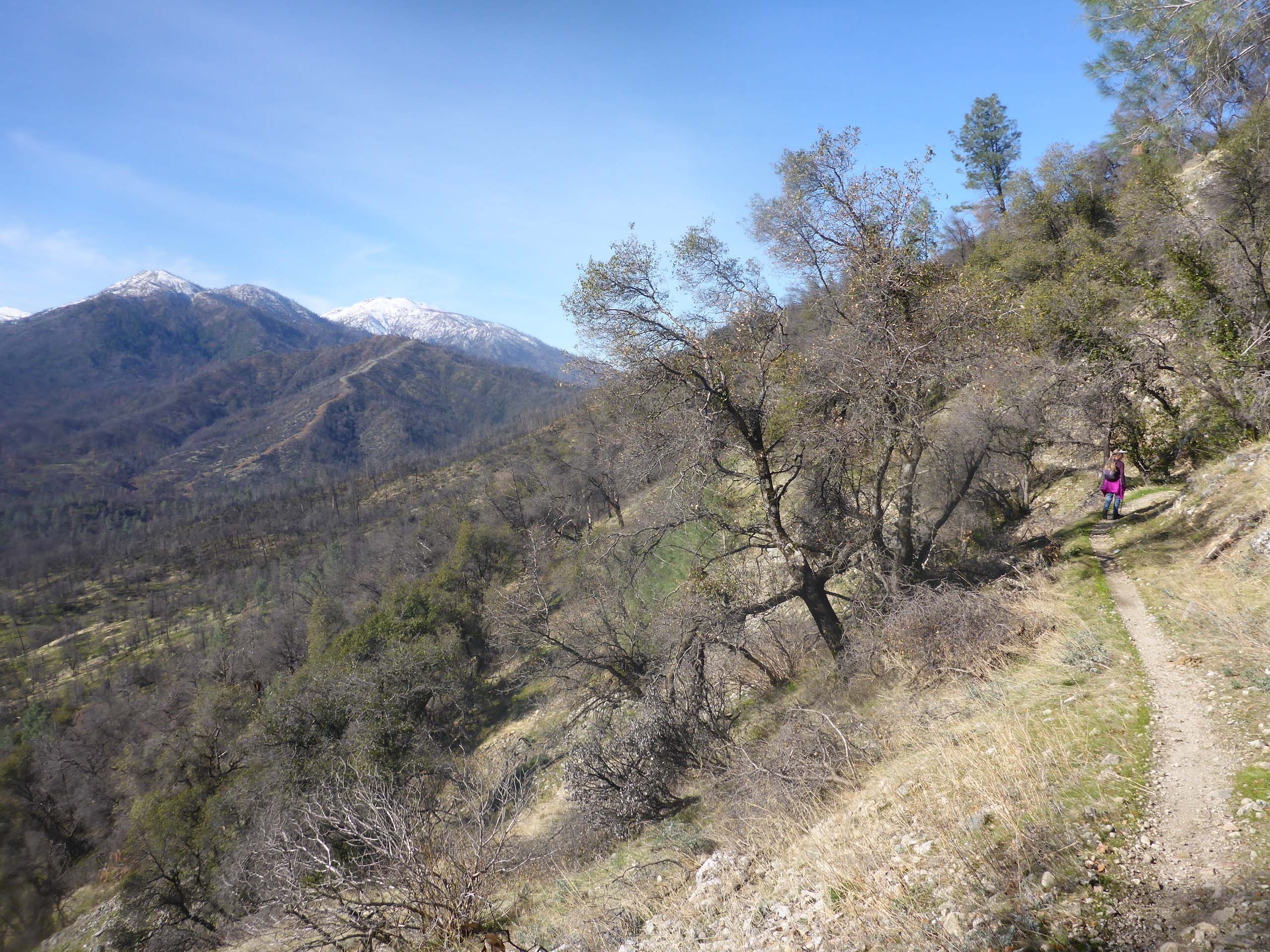
The one we were interested in was Mule Mountain Loop Trail, which encircles Mule Mountain around the west side and joins again with Mule Ridge Trail at Black Bear Pass. This trail is less used and less maintained, but probably our favorite section of this hike for its geology and quite different plant communities.

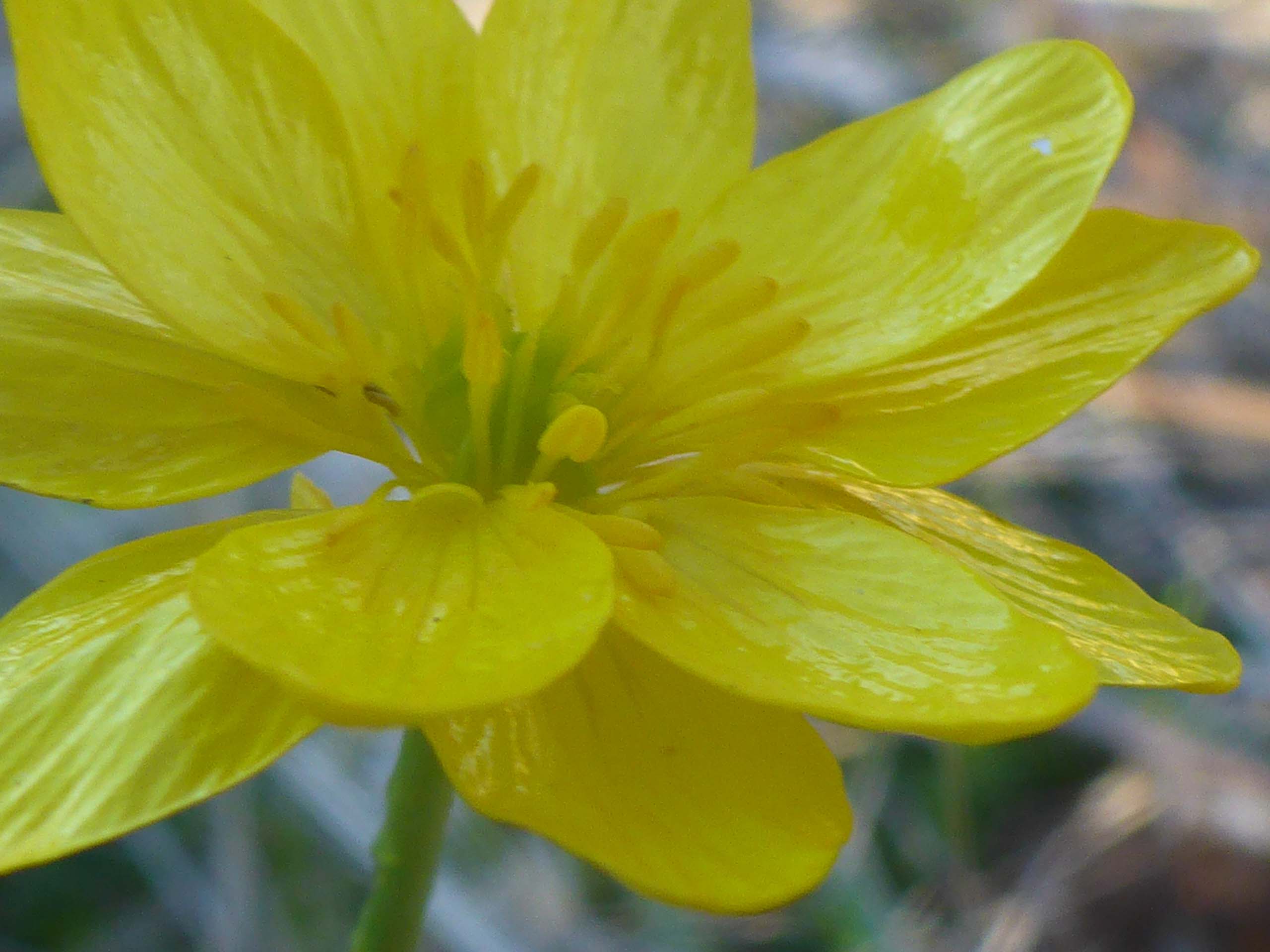
While not too much was blooming, we are happy to report that photosynthesis is on track, and blooms should be abundant within a few short weeks. Weekend botanists will surely see such gems as hound’s-tongue, shooting stars, and buttercups, at the very least.
This hike totaled ~9 miles, with ~1,000 feet of elevation gain. Considering the steepness of Cosmos Way, the rockiness of Mule Mountain Loop Trail, and the lack of maintenance on the lower Princess Ditch Trail, we rate this hike as moderately difficult. Also, as noted, this recreation area is very popular, especially with mountain bikers, and can be very busy, especially on a nice weekend day like this Sunday was. We passed one jogger, four hikers, and 13 bikers, most of whom will have accessed the recreation area from the Swasey Road side. While we have always found users of these trails to be a polite and considerate bunch, choosing to access Swasey Recreation Area from Muletown Road does ensure greater solitude. Give it a couple of weeks and go see for yourself!

Here is a slideshow that includes the few blooms we saw on this early-February hike. All photos by Don Burk. Enjoy! ~Laurie & Don Burk


