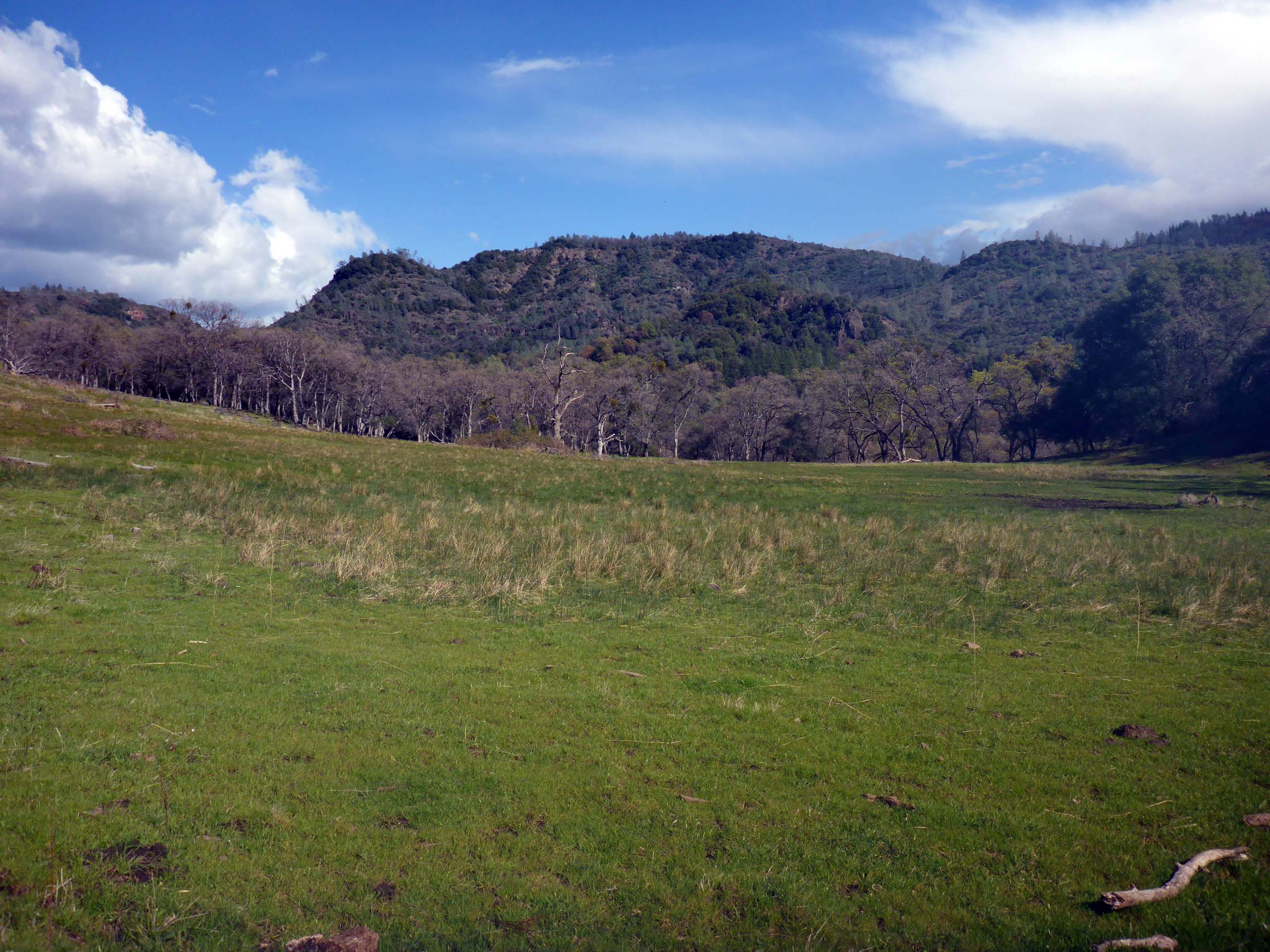
If you’d like to catch spring at a little earlier point in the season, McClure Trail might be just the place for you! On the day we hiked there, the oaks had yet to leaf out, the grasses were still very short, and we passed a few small patches of snow on the road in.
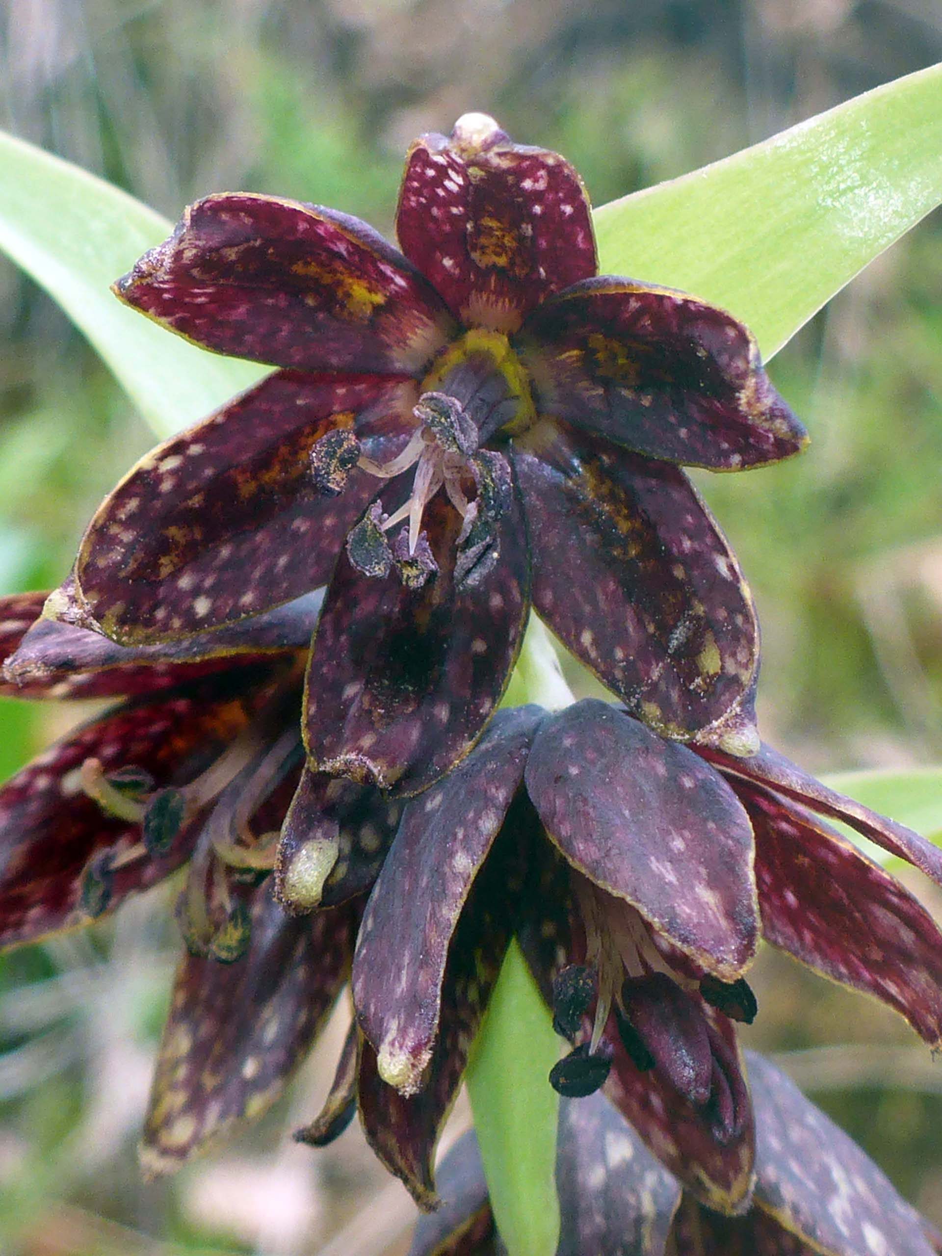
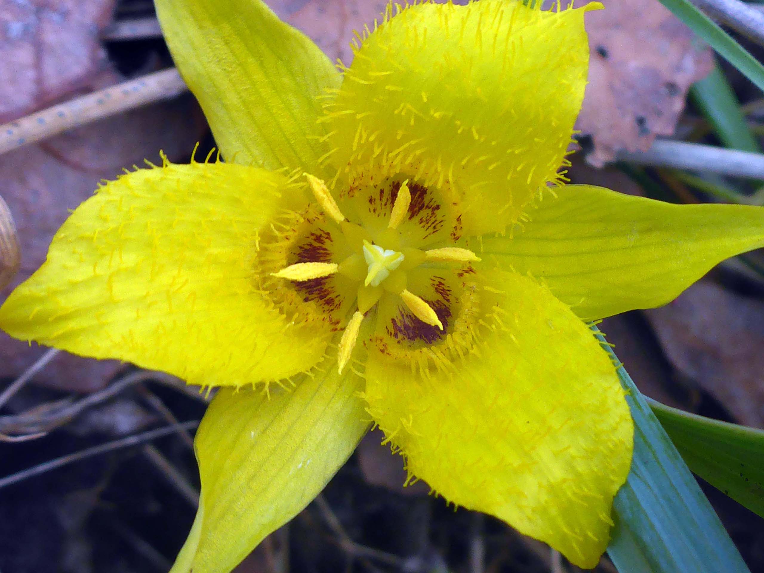
But we still counted 42 early bloomers on the trail. Showiest of the highlights included checkered fritillary and yellow star-tulip.
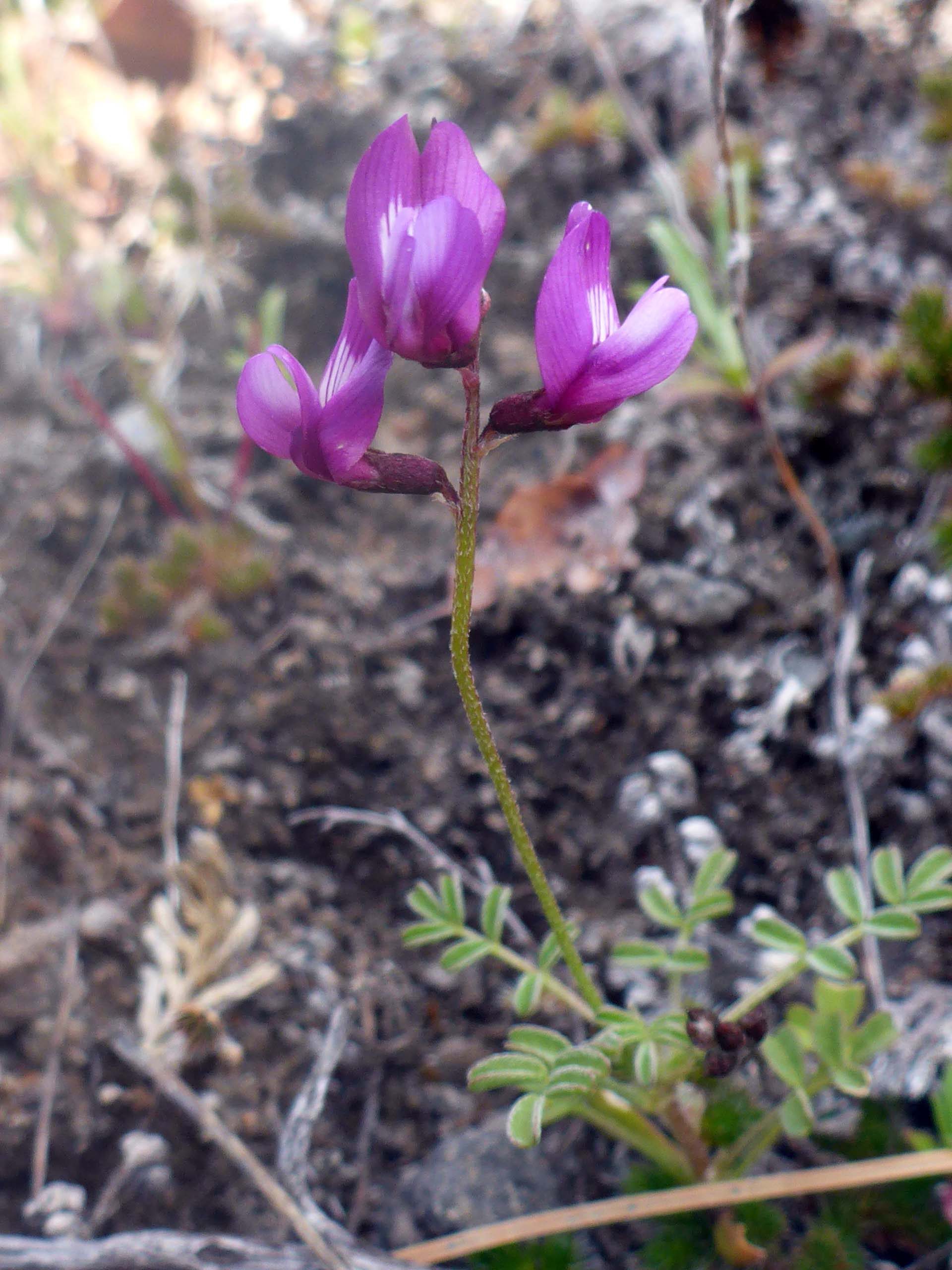
But Don was probably most excited to see depauperate milk-vetch, Astragalus pauperculus, a CNPS List 4 plant.
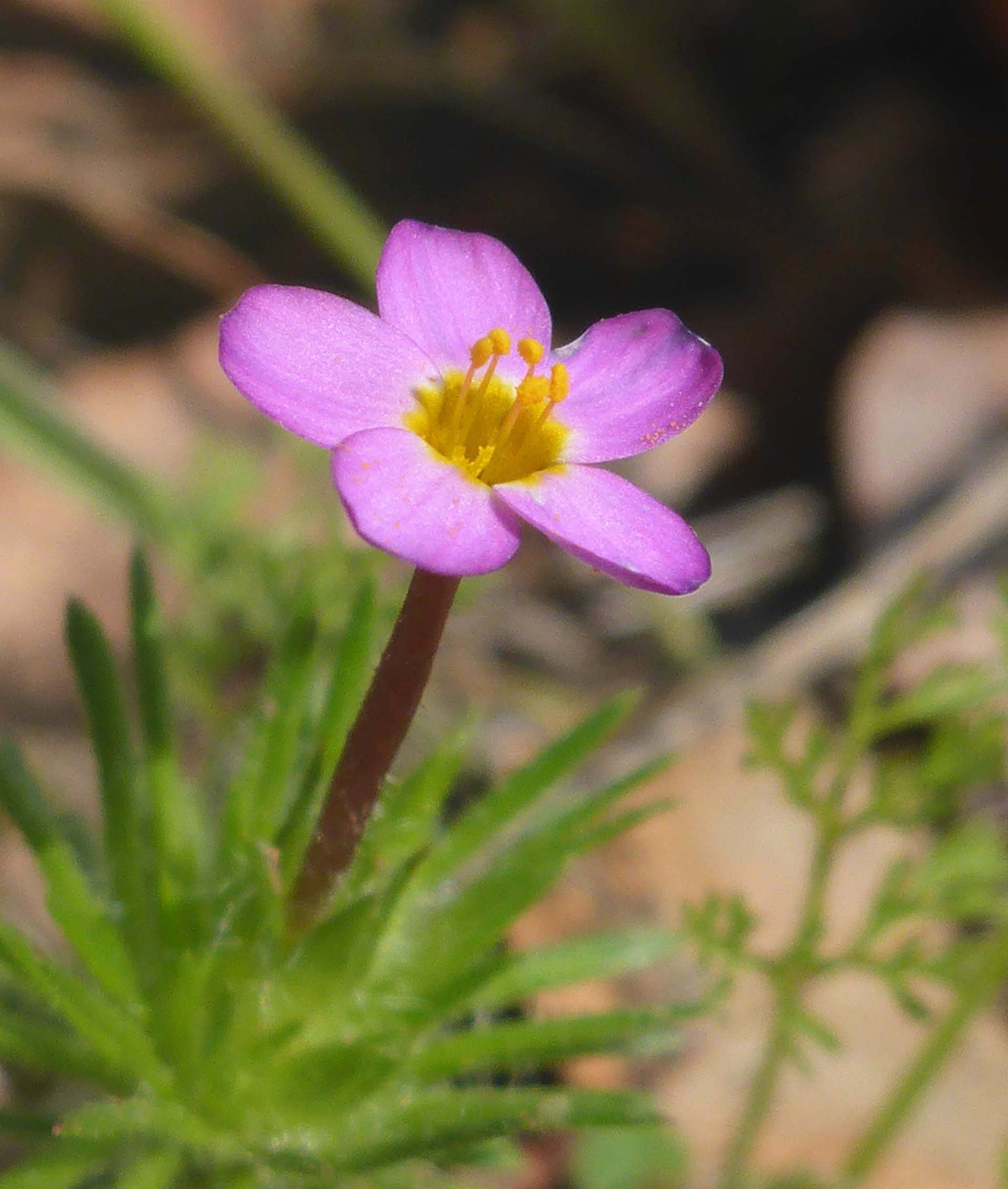
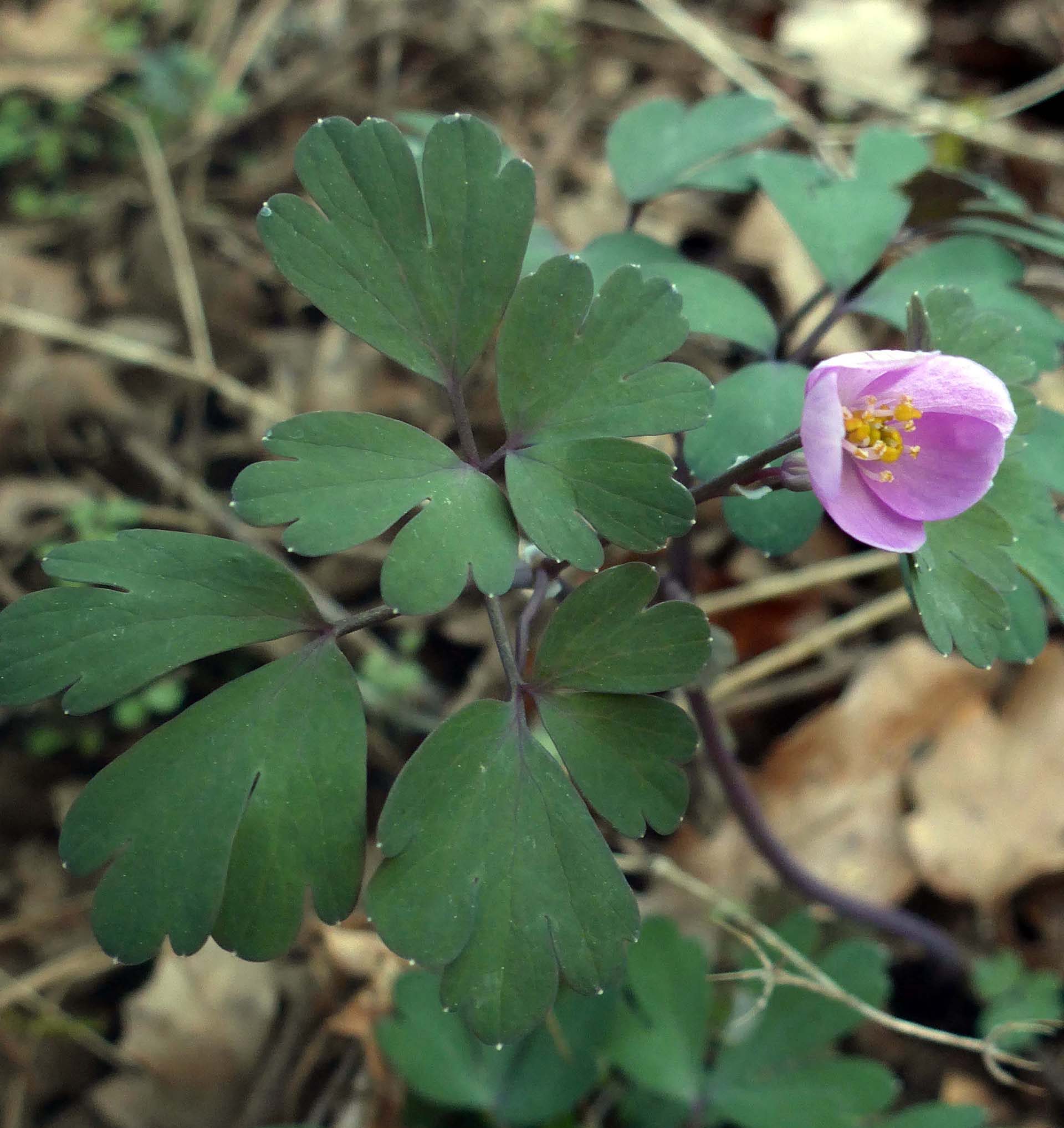
Another couple of beautiful wildflowers that we found blooming on this hike were the diminutive true baby-stars and the very lovely false rue-anenome.
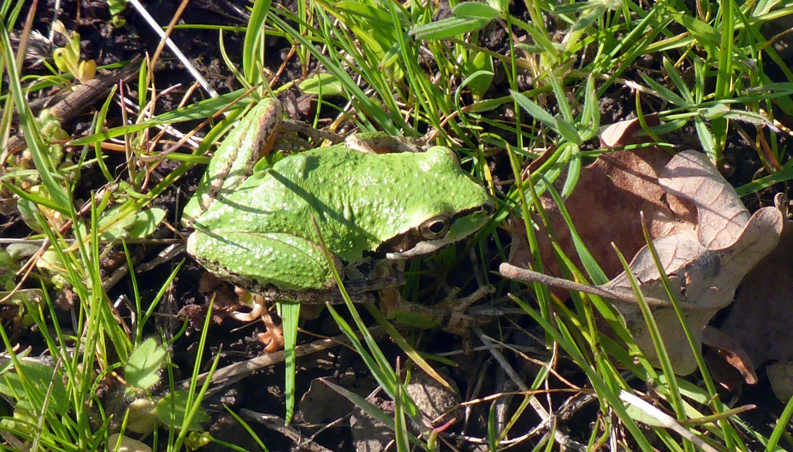
Fauna included many lizards, a ground squirrel, treefrogs, quail, and a huge flock of sandhill cranes that passed very high (and very noisily) overhead.
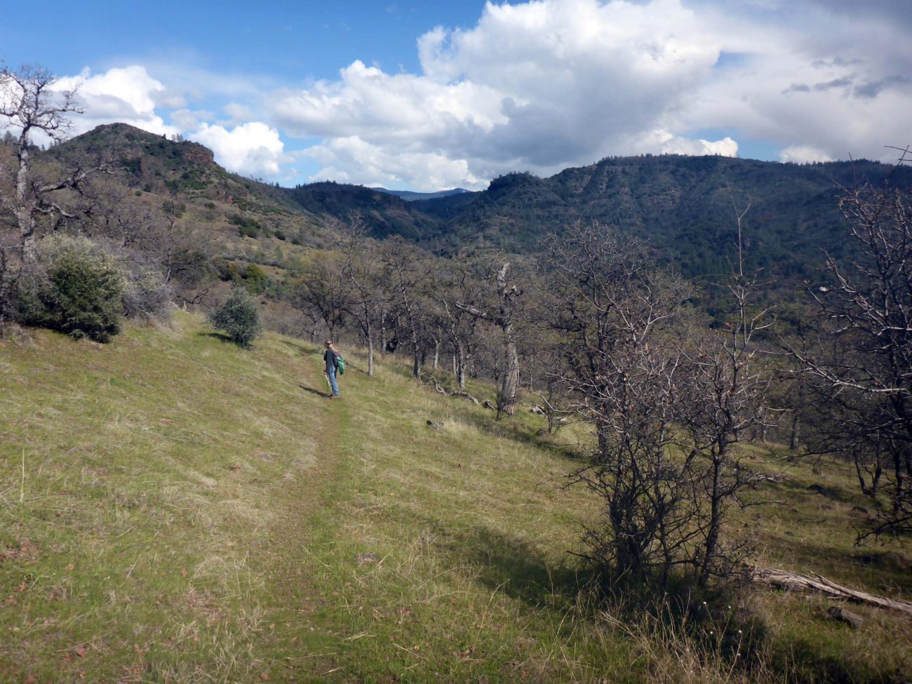
McClure Trail is a moderately difficult trail of about two miles in length and ~800 feet in elevation gain. It starts at an intersection of gravel/dirt roads and descends into a canyon, at the bottom of which runs North Fork Antelope Creek. The first third of the trail is quite rocky and uneven, and fairly steep in sections. Standing water and muddy track can lead to more difficulty in navigation. There are a couple of stream crossings that are not a problem with sufficient agility, and the trail in between them has a more even footbed as it levels out a bit into long, sweeping switchbacks. A short section of the trail at the bottom of the canyon is quite wet and muddy as you move through wetlands and meadows.
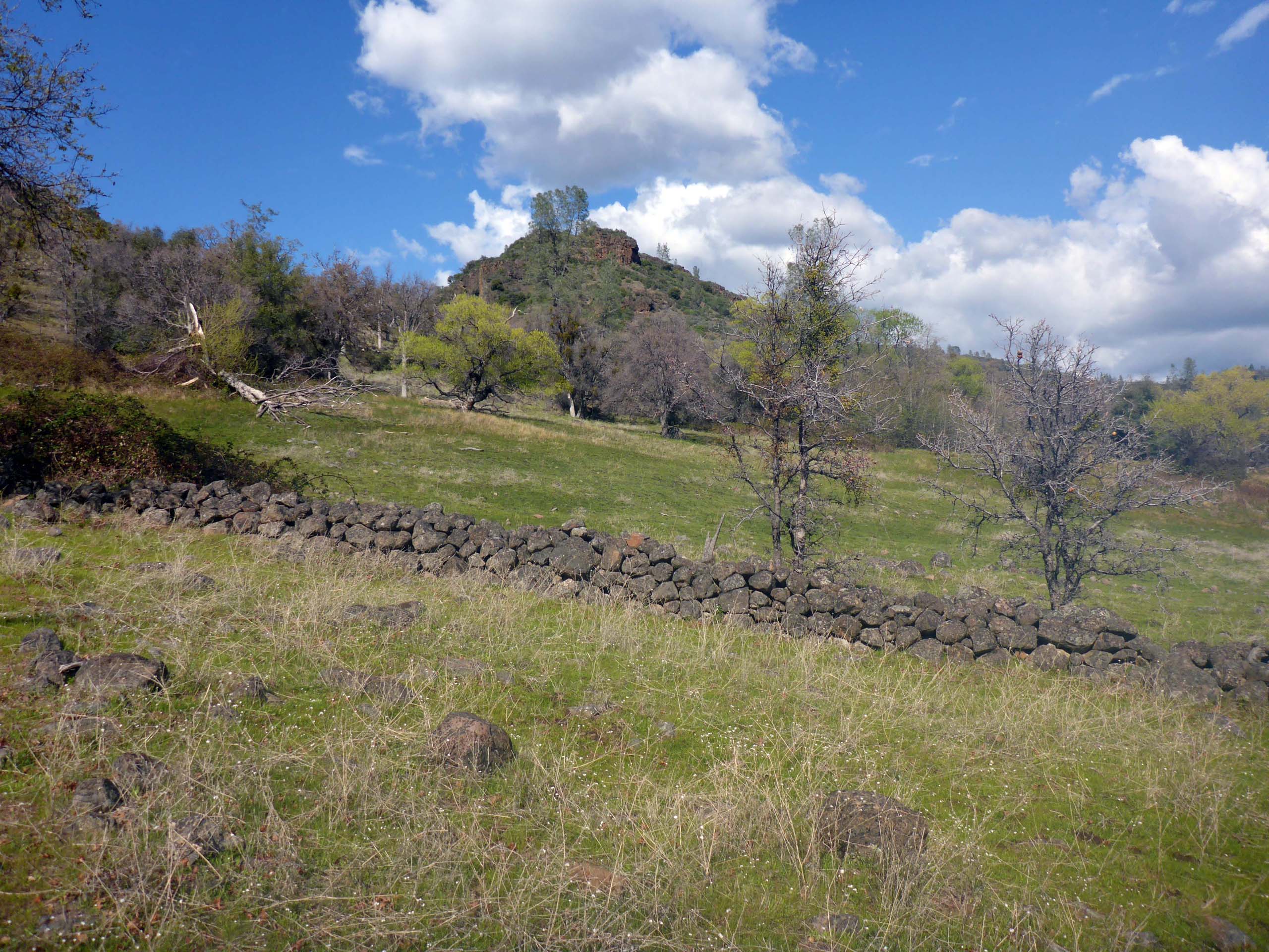
The trail ends at the historic McClure cabin site, after which the trail was named. There are a few artifacts remaining there, including an old hay rake, a rock wall, and vestiges of fencing. There used to be a sign inscribed “McClure Place,” but we either missed it or it’s now gone. But you don’t need a sign to realize that this was once a place of intensive human activity.
We highly recommend this lovely hike on Lassen National Forest land, just west of the Tehama Wildlife Area. It can be accessed via Plum Creek Road, off of Highway 36. And while it is not a long drive to get there, it is not a very often used trail, so be sure to tell someone where you’re going when you visit. Enjoy! -Laurie Burk