
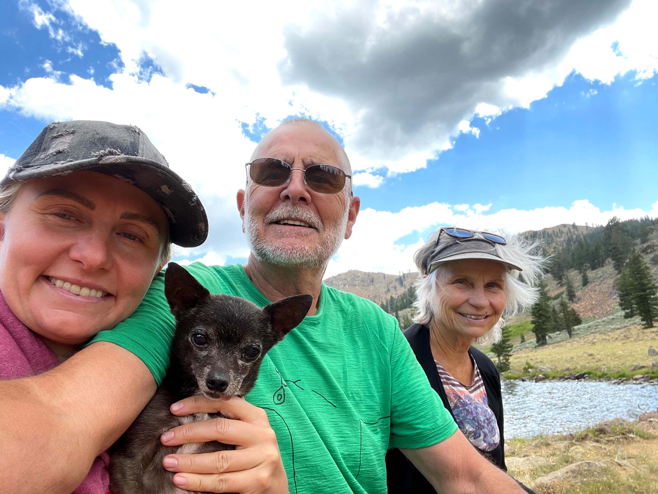
My wife Billie, daughter Ciara, three dogs, and I piled into my pickup at 9:00 on a Friday morning and were on the trail to East Boulder Lake in the Trinity Alps Wilderness, Klamath National Forest, by noon. The out-and-back route roughly parallels East Boulder Creek and climbs from an elevation of approximately 5,750 feet to 6,676 feet at the lake—which, at 32 acres, makes it one of the larger lakes in the Trinity Alps. The round-trip distance measures 5.2 miles.
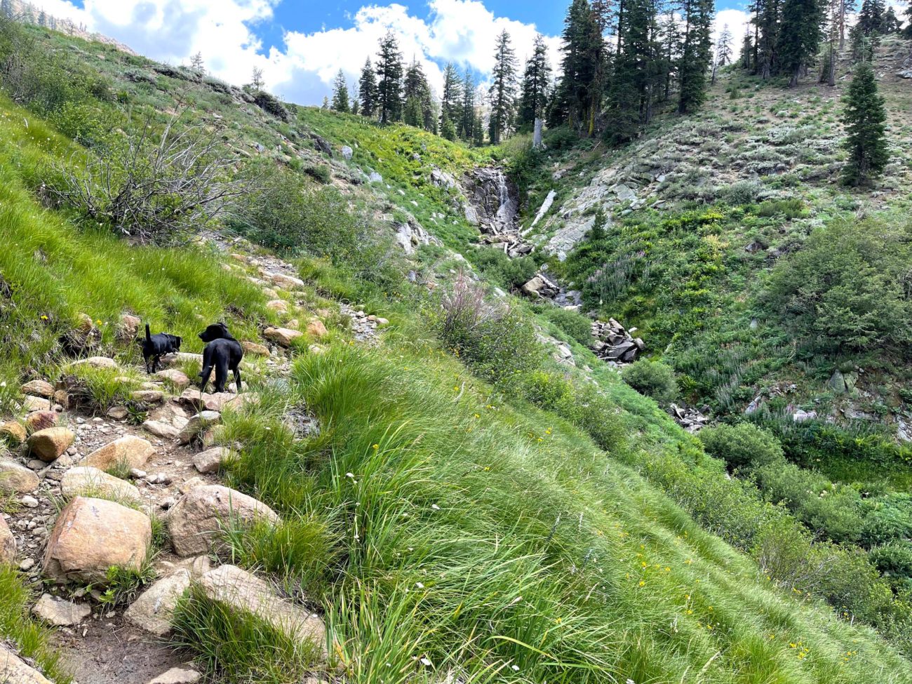
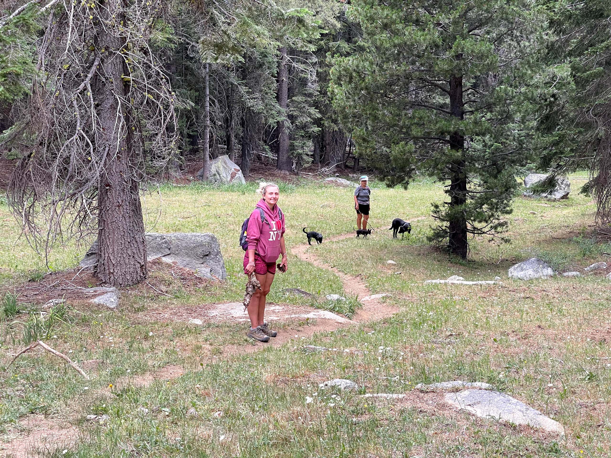
The trail climbs steadily over the first half mile through a mixed conifer forest before flattening out somewhat and passing through several meadows that are frequented by cows. Watch out for cow pies! About two miles into the hike, the trail steepens as it emerges from the trees and zigzags upward over rocky terrain. There are many flowers in this area, as well as a nice view of a beautiful waterfall. The last quarter of a mile is relatively flat and brings you to the very picturesque East Boulder Lake.
I would rate the difficulty of this hike as moderate. Hiking poles and good boots are recommended.
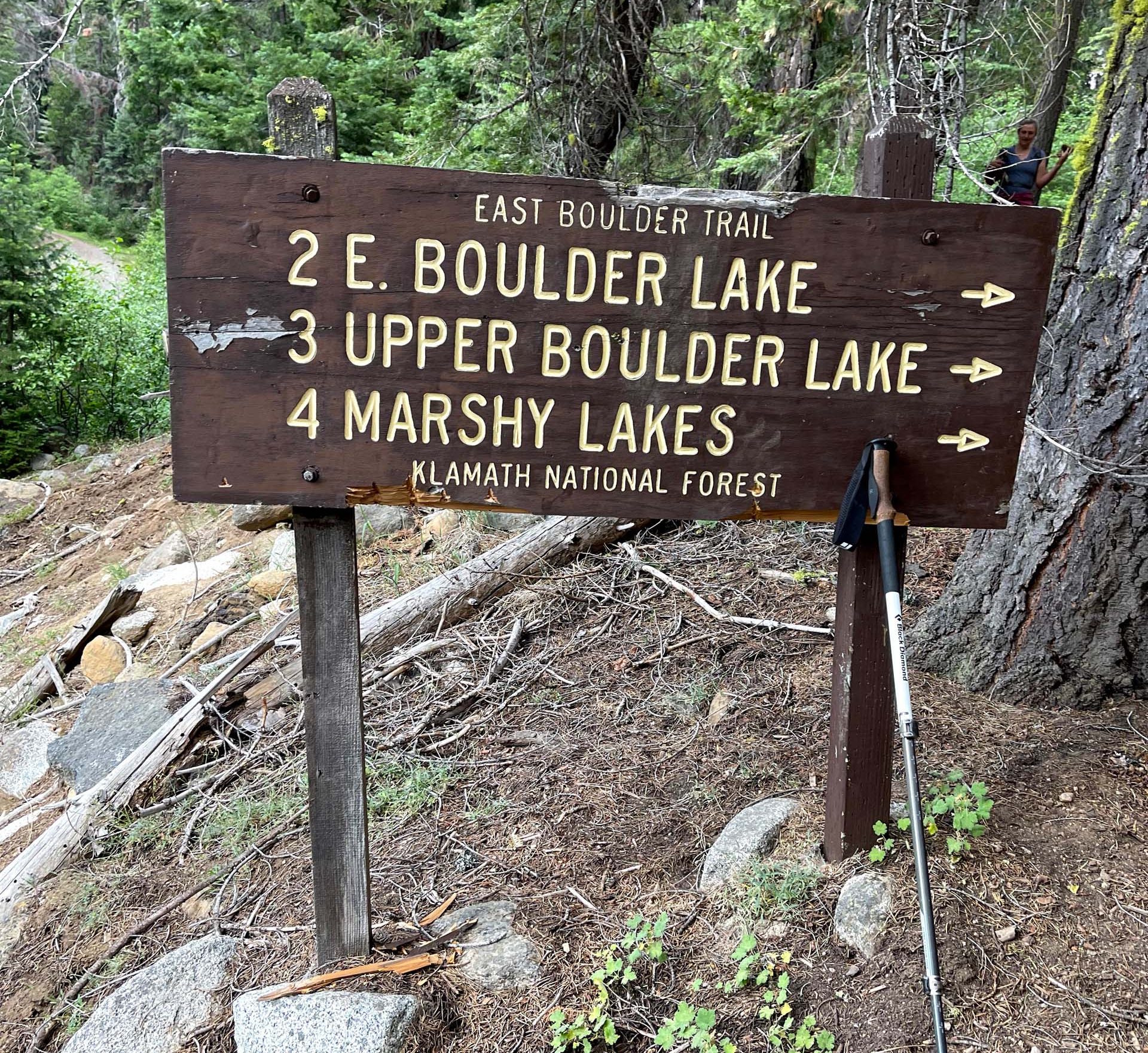
Driving directions: The trailhead for East Boulder Lake is reached by driving ~8 miles out of Callahan in a southerly direction on mostly dirt roads. Once you get to Callahan, take the paved road just west of the bridge that spans the East Fork of the Scott River. This paved road soon becomes a dirt road and is signed as Forest Service Road 40N16. Look for signs to McKeen Divide and drive ~2 miles. When you come to Forest Service Road 40N17, take it and drive ~3 miles to find Forest Service Road 39N63, which is signed for East Boulder Lake. Drive ~2 miles on this road to arrive at the trailhead. ~Chris Harvey
The following slideshow features just a few of the sights to be seen on East Boulder Trail. All photos by Chris Harvey. Enjoy!


