
Here’s a quick update on what’s been happening on the conservation front.
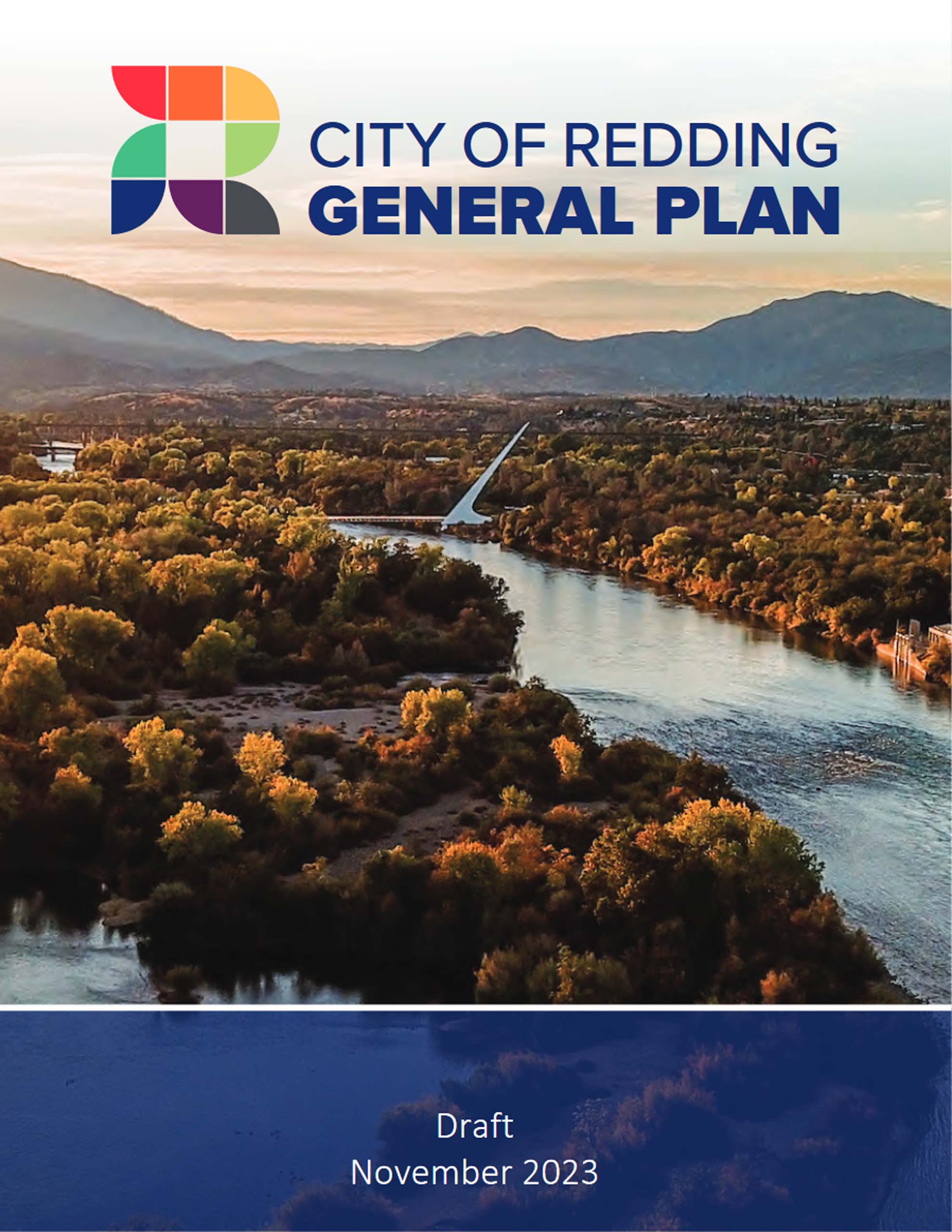
City of Redding Draft General Plan
Your General Plan comments made a difference
The City of Redding Planning Division listened to many critical comments that were made regarding the Draft General Plan, and, because of those comments, some of the language has been strengthened.
Much of the draft plan had phrases such as “consider,” “strive to,” and “work to”—all of which are so vague as to be meaningless. Other California cities’ general plans use words such as “shall,” “must,” “will,” and “require.” Heeding your many letters of comment, the City of Redding dropped many of these vague phrases—but not enough.
One extremely important area that was not adequately addressed was climate change. The City left in the waffle-word “consider.” Climate change is the most important issue facing all life on Earth and, in particular, hot Redding. Here is the weak wording:
EJ3E – Consider the development and adoption of a Climate Action and Resiliency Plan. Support plans, standards, regulations, incentives, and investments, and seek grants and other funding to reduce the impacts of climate change on vulnerable residents.
I served on the General Plan focus group for this section and, at each meeting, many of us emphasized the importance of strengthening the language, but it was never changed as we wanted it. It looks like Redding is really not willing to do more to combat climate change except to “consider” doing something about it. How mealy mouthed can you get?
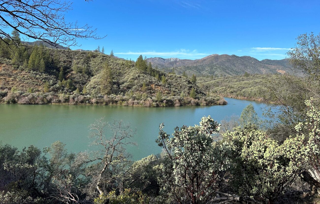
Threat to Sacramento River riparian areas
Another item of concern is setback of development from the Sacramento River. For most of the City, development must be at least 150 feet from the Sacramento River. However, a careful reading of a footnote on a map of the waterways of Redding shows a setback exemption for lands between the Cypress Street Bridge and Turtle Bay. From the 2000 to 2020 General Plan’s Figure 3-3:
Minimum 75 foot development setback from riparian drip line or 150 feet from bank which ever is greater. Water orientated commercial projects in the Cypress Avenue, Park Marina, and Convention Center areas which may have reduced setbacks.
This same map and description are used in the new draft General Plan. Newer office buildings north of the Cypress Street bridge are as close as 45 feet from the bank, and the concrete trail is as close as 10 feet from the bank.
Comments on the draft General Plan can be easily made in the box at the bottom of the City of Redding’s Draft 2023-2045 General Plan page.
Bureau of Land Management’s Northwest California Integrated Resources Management Plan
Providing more protection for important lands in northern California?
The Bureau of Land Management (BLM) is still soliciting comments on its updated Northwest California Integrated Resources Management Plan (NCIP) and Environmental Impact Statement addressing 382,000 acres of lands in northern California that are managed by the Redding and Arcata offices.
BLM is offering five options for managing these lands, ranging from Option 1, no action (keeping everything as it is), to Option 5, protecting more lands for the public to enjoy while still offering recreational opportunities. Option 5 advocates greater protection for wilderness areas and areas with wilderness characteristics, protecting wild rivers and streams, and acquiring more land in the Sacramento River Bend Area for greater recreation opportunities. Land acquisitions would be obtained from willing sellers, and some isolated land plots that are unmanageable would be sold or traded for other lands. Overall, Option 5 would provide greater protection for important natural wildlife areas and provide more recreational opportunities for the public.
SEA board members Bill Kuntz and David Ledger have been meeting virtually with a diverse group of environmentalists, ranging from the California Wilderness Coalition, the Pew Charitable Trust, Conservation Lands Foundation, The Wilderness Society, Defenders of Wildlife, California Native Plant Society, Friends of the Lost Coast, and several fishing groups, on this issue.
The deadline to comment is December 28; the California Wilderness Coalition has a sample letter you can use, plus a link to more information about the plan.
Congressman Doug LaMalfa opposes the BLM Plan.
Congressman Doug LaMalfa has submitted a rider to a BLM funding bill that would specifically prohibit any funds from being used to finalize, implement, administer, or enforce the draft Northwest California Integrated Resource Management Plan and Environmental Impact Statement for public lands managed by the Redding and Arcata field offices. This means those of you who enjoy many of the trails around the Redding area, the Sacramento River Bend Area, the Swasey Recreation Area, and many other lands have a harsh opponent in LaMalfa. His bill would stop in its tracks all funding to expand and protect these important environmental and recreational areas.
I submitted comments to LaMalfa via a form on his website two weeks ago, and hand-delivered a letter to his Redding office asking why he wants to deny residents of his district increased recreational opportunities by preventing any funding for this important endeavor. You may call his Redding office at (530) 223-5898 with your questions and comments.
To read about more newsworthy conservation issues, please see Shasta Environmental Alliance’s December 2023 Newsletter.
~David Ledger, Conservation Chair
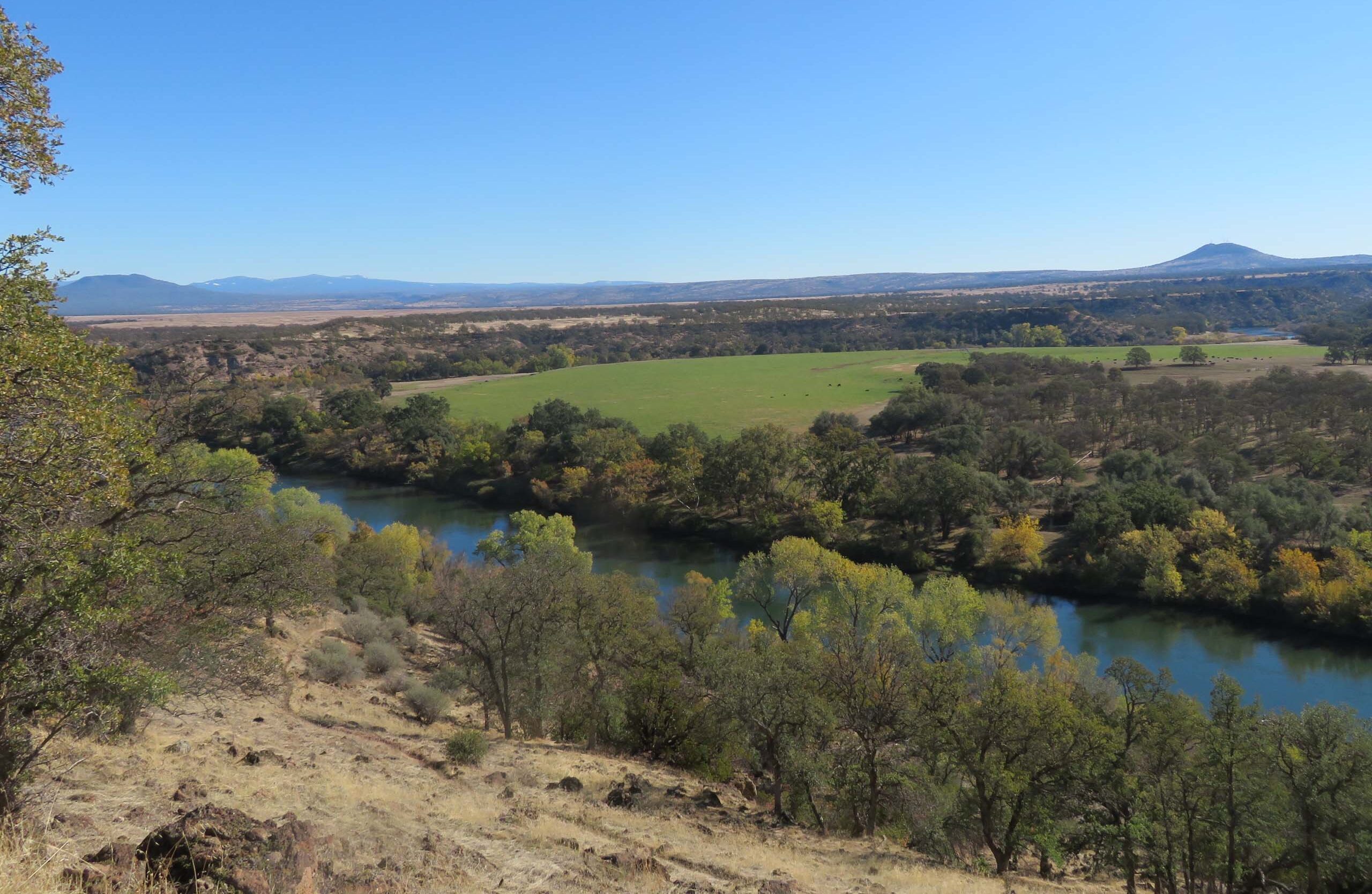
Photo taken November 13, 2022, by David Ledger.