
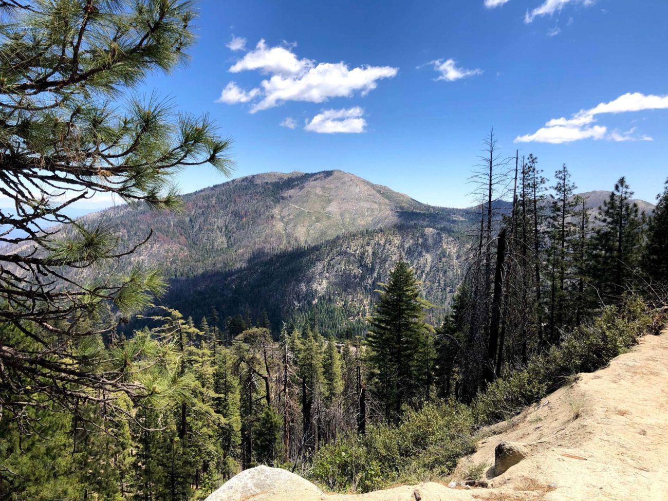
Pack a picnic lunch and head to Coggins Park! Located on the west flank of Shasta Bally in the Whiskeytown-Shasta-Trinity National Recreation Area, this remote site features one metal bear-proof locker, no bathroom, and lots of old-growth conifers, including Douglas-firs, sugar pines, incense-cedars, and ponderosa pines. The diversity of flowering plants here is amazing!
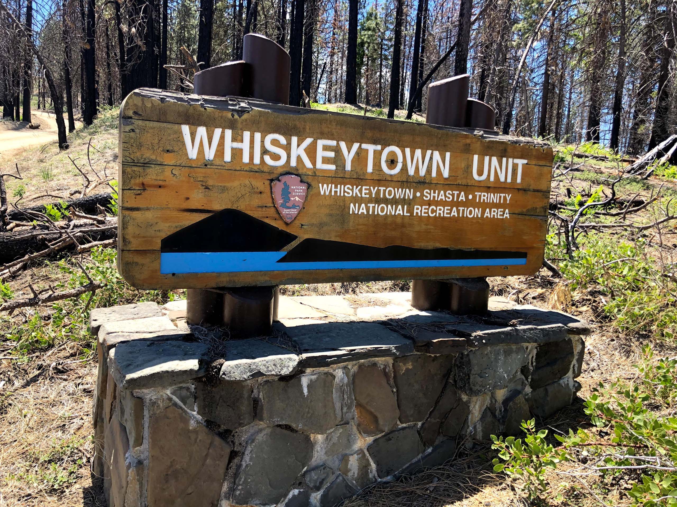
Photo by Chris Harvey.
Named after Arthur Coggins, who owned and logged large sections of this forest in the 1940s and 1950s, this site was spared logging so that future generations might appreciate the old-growth trees. The Carr Fire burned through this area, but the big conifers survived the flames.
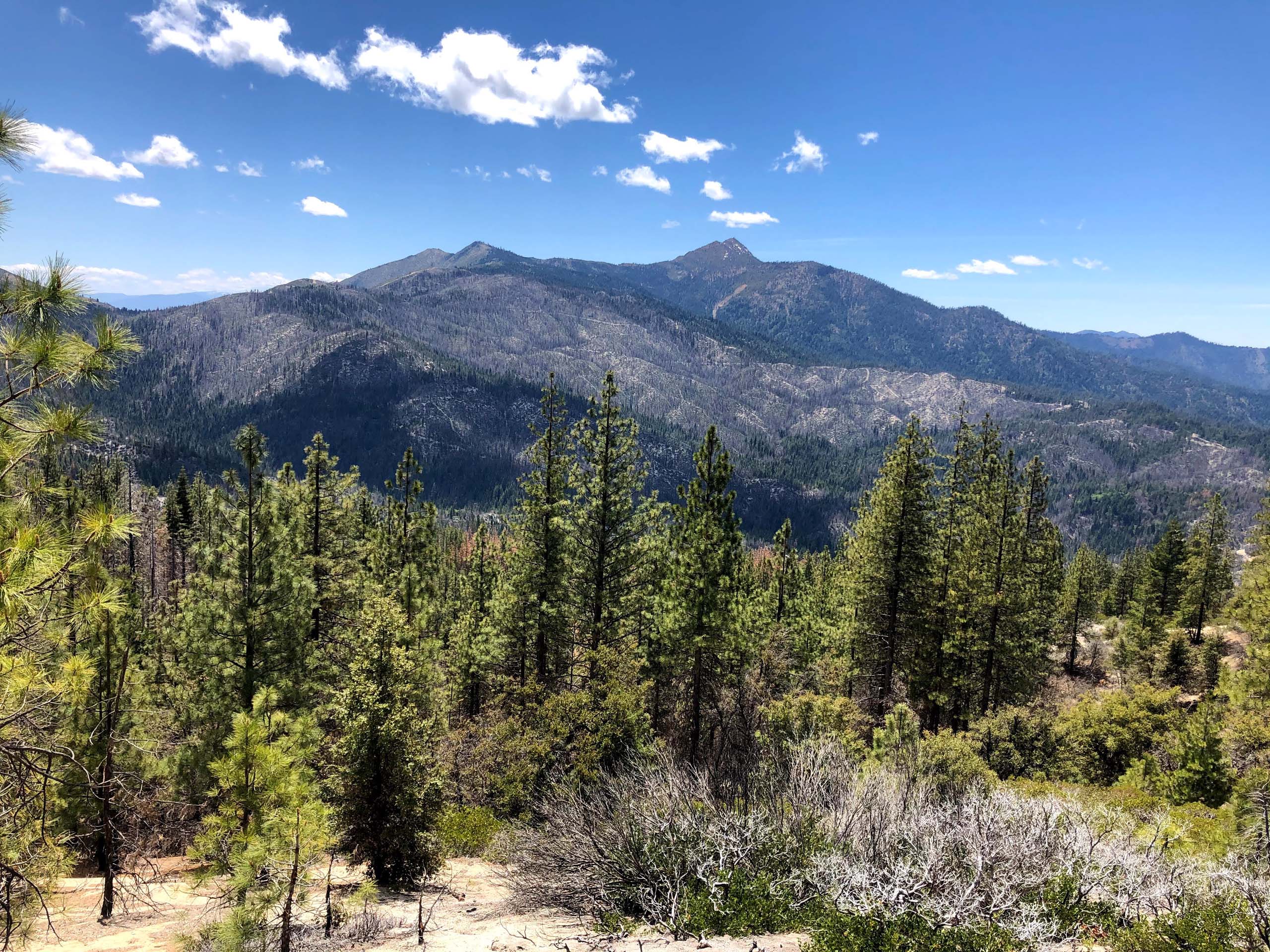
Located at an elevation of ~4,200 feet, Coggins Park is a great place to escape the Sacramento Valley’s heat. But, you’ll need a high clearance four wheel drive vehicle to get there. The winding ~6-mile, decomposed granite road is very steep in sections, as well as very narrow. Be prepared to back up if you meet another vehicle.
To get to Coggins Park, head west on Highway 299. At Buckhorn Mountain Summit, look for the dirt County Line Road, which will be on your left. There is no turn lane, so be careful to avoid oncoming traffic. You may need to continue driving west until you can find a place to turn around. Once you’re on County Line Road, you’ll climb from an elevation of 3,213 feet to just under 5,000 feet over the first 3.6 miles. Then, you will descend to an elevation of ~4,200 feet at Coggins Park over the next 2.2 miles.
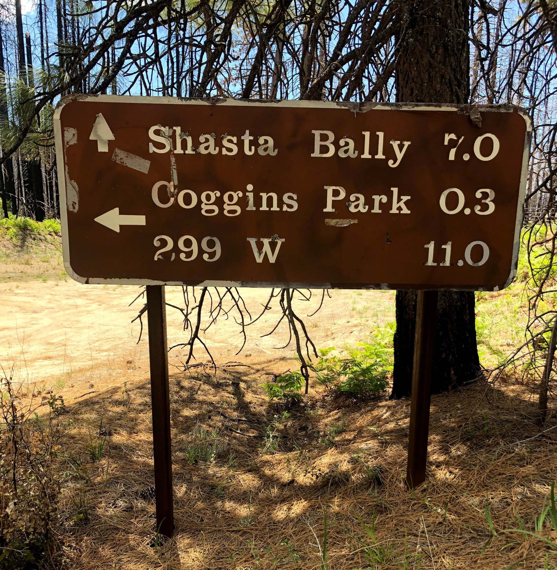
Once you’re parked at the very small Coggins Park campsite, walk back to the road and turn left. After about 0.3 miles, look for the gated road (and sign) to Shasta Bally. I hiked for approximately two miles on the badly eroded road before returning to my truck. It’s an easy hike. I will return in the middle of June to check out the lilies, which number in the hundreds!
Enjoy the following photo slideshow! ~Chris Harvey


