
With all of the wildfires and forest closures, it is getting difficult to find someplace to Get Out to! But with a little persistent research we found that some lands managed by the California Department of Fish and Wildlife (CDFW) were still open to the public. (Last year, CDFW closed these lands as a measure to help prevent wildfire, so check with them before you go!)
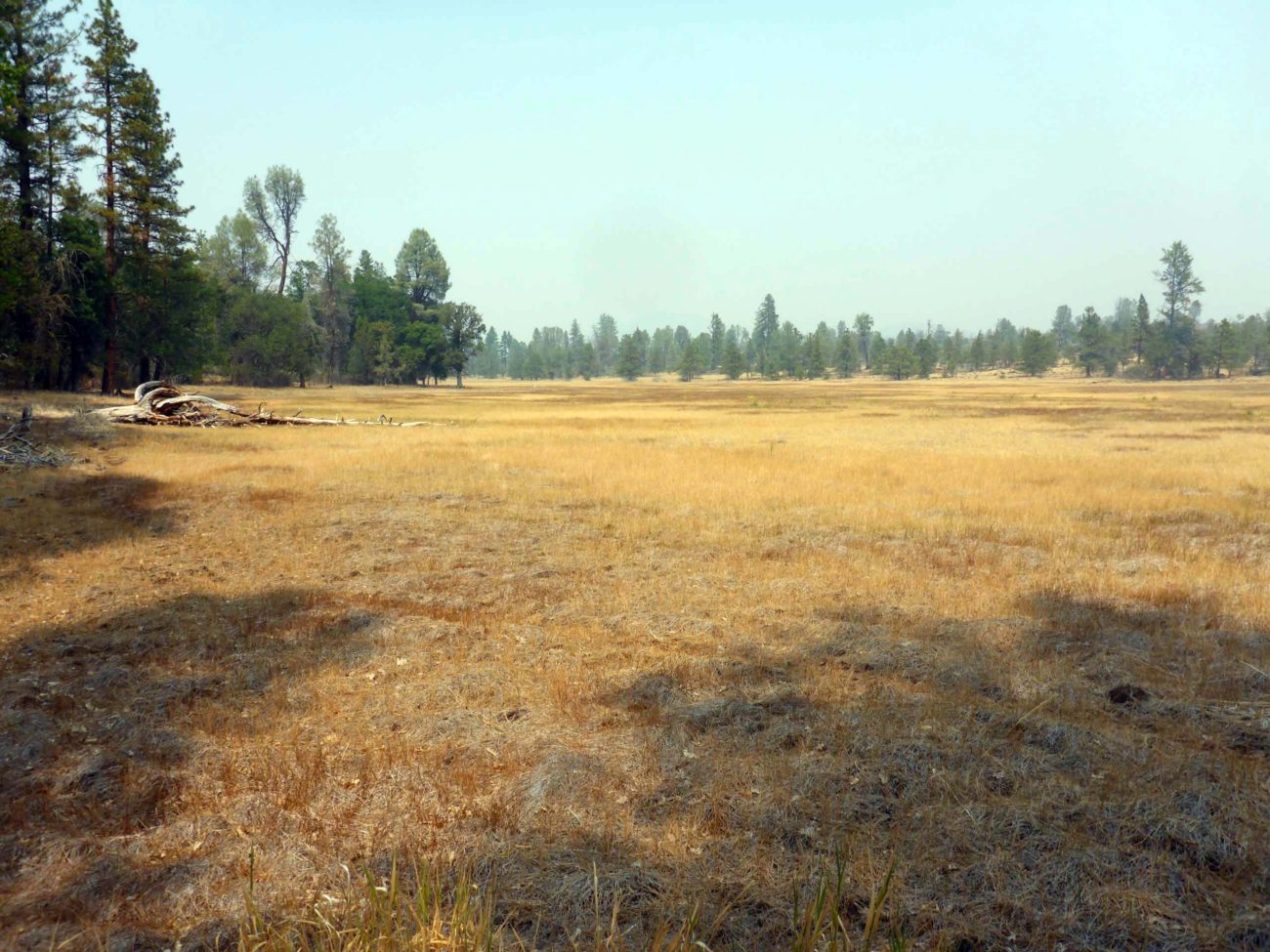
Cinder Flats State Wildlife Area is a 720-acre pine–oak woodlands outside of Cassel that is managed for nesting habitat for bald eagles and other birds, as well as winter range for black-tailed deer and mule deer. It includes some huge wetlands, which is what we were most interested in.
August 22, 2021. Photo by Don Burk.
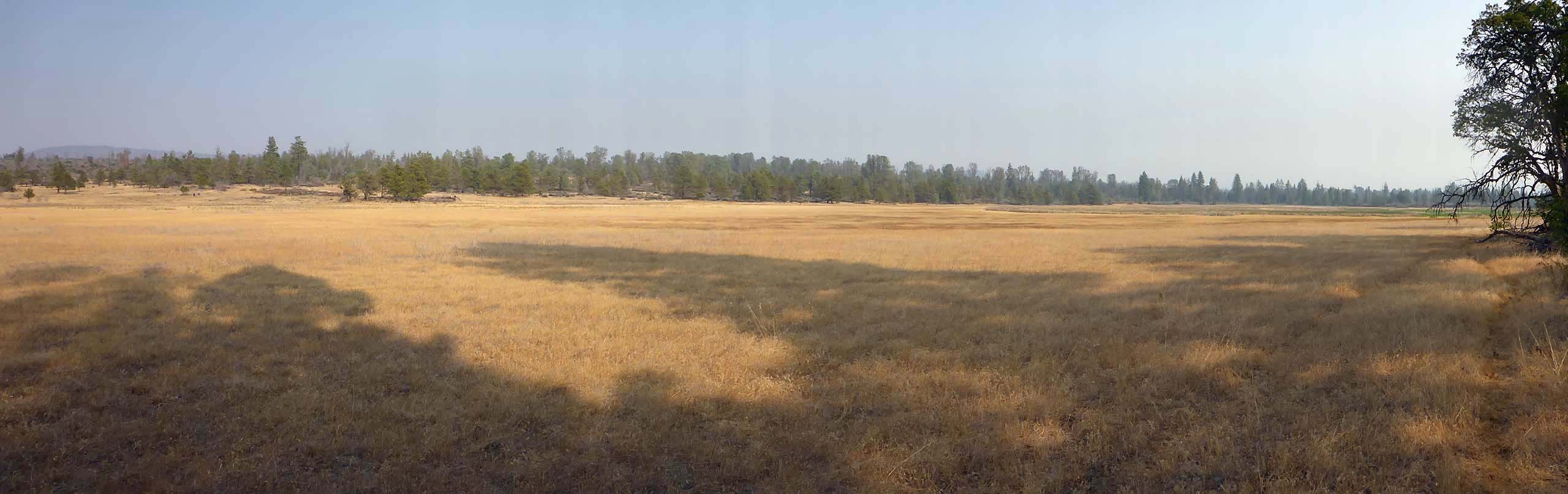
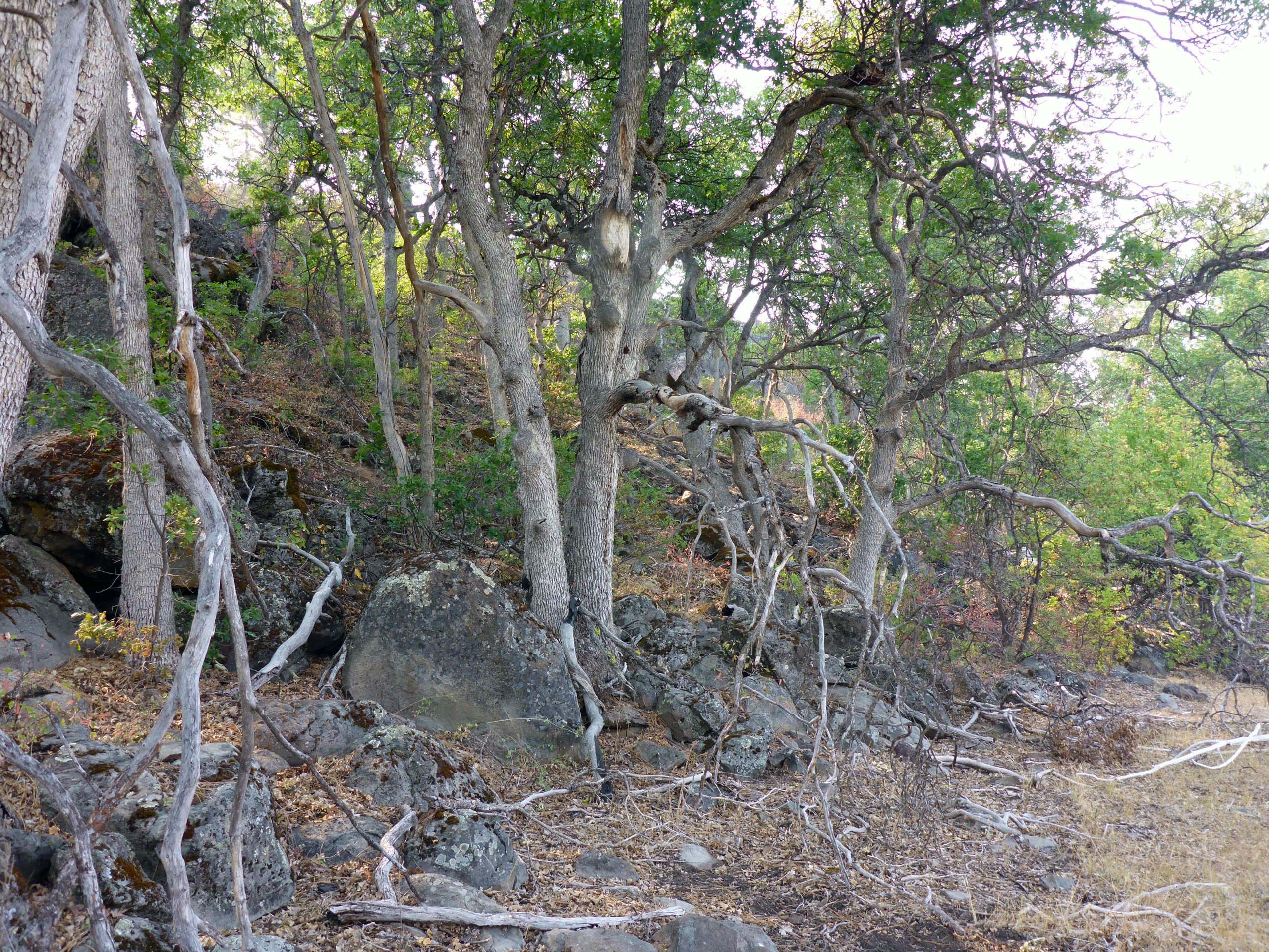
These wetlands run approximately north and south a full mile through the center of the wildlife area, flanked on the west side by a lovely rocky ledge vegetated in ponderosa pine, oak, and a smattering of ash. Across the relatively narrow flats of the wetlands, on their east side, the vegetation is strikingly different, composed mostly of gray pine, juniper, and buckbrush. Two low dams have been installed across the wetlands, as well as several hillocks in the most northern wetland that provide nesting habitat for waterfowl.
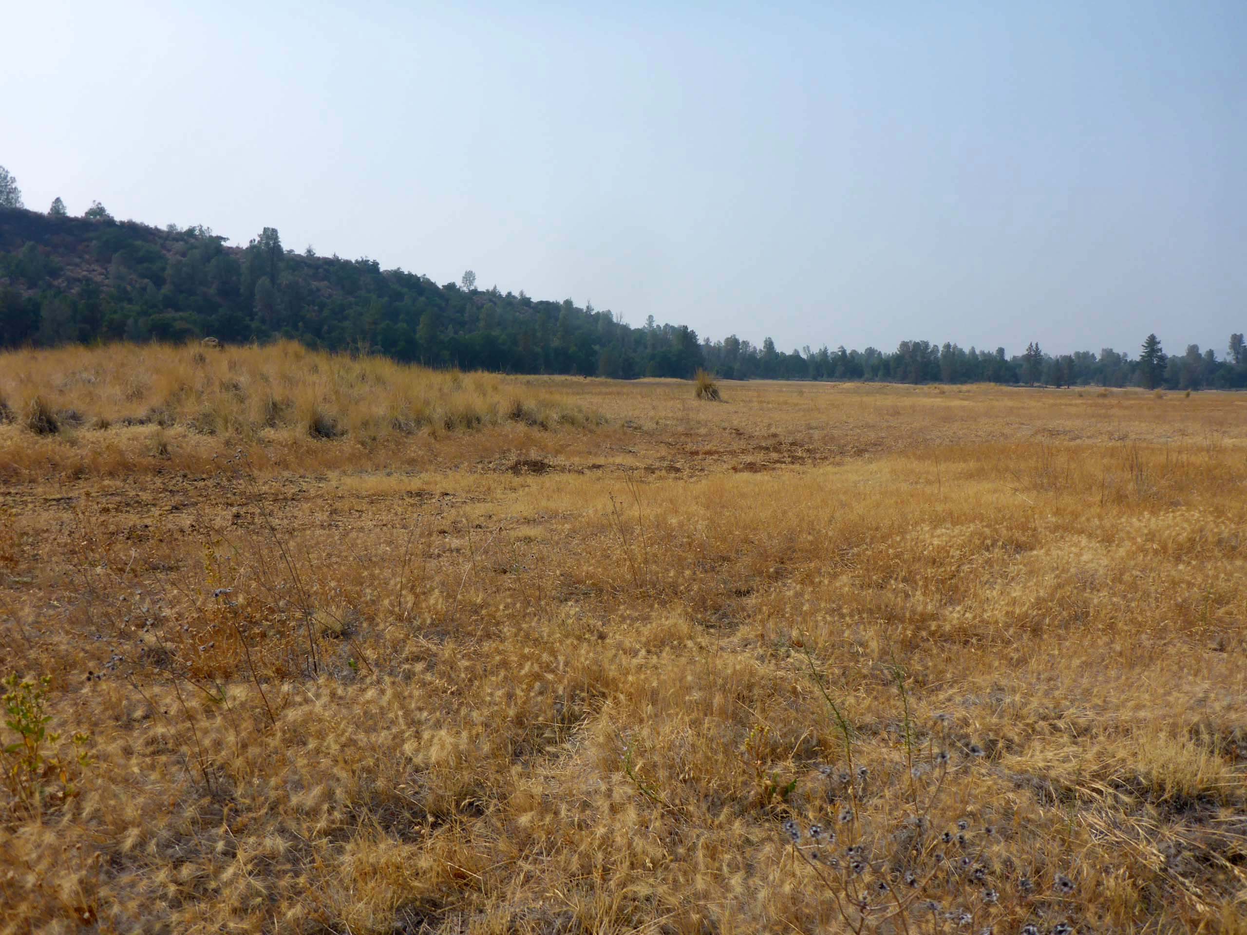
The wetlands are dry now, of course, and most everything appears to be “dead,” but this only adds to the challenge! There is actually plenty to be found with a little closer inspection. We spent the afternoon crisscrossing the wetlands and poking around on its margins, in the end tallying up over two dozen species in bloom. It would be fun to see these wetlands at peak bloom in the spring—we’ll be back!
We probably logged ~4 miles in our meanderings. Besides the many animal trails that scurry off here and there, there seems to be a fairly well defined use trail along the western edge of the wetlands. There is also a rough track or road that crosses over the southern-most dam and continues along the east side of the wetlands, heading both north and south, so one could, presumably, circumscribe the wetlands without leaving trail or road. Or just take a picnic and enjoy the solitude and much better air quality!
Getting to Cinder Flats is a little tricky as there is no signage anywhere to be seen. From Burney, continue a couple miles NE on Highway 299 and turn right onto Cassel Road. At 8.2 miles, shortly after driving through the very tiny community of Cassel, Cassel Road splits into two roads: Cassel Road veers south, and Cassel Fall River Road continues east. Stay left and take Cassel Fall River Road for another 1.35 miles to an unmarked but obvious dirt road on the left. While most of this road is in decent condition, there are some severely rutted areas. We highly recommend taking a high-clearance vehicle, and only when the road is dry: it obviously becomes a muddy quagmire when wet! This road will take you across the PCT, under some power lines, over a cattle guard, past a small flat area (wetlands), through another gate, and then finally down the rocky ledge to the south dam on the wetlands, which is where we parked, ~2.6 miles from the paved road.
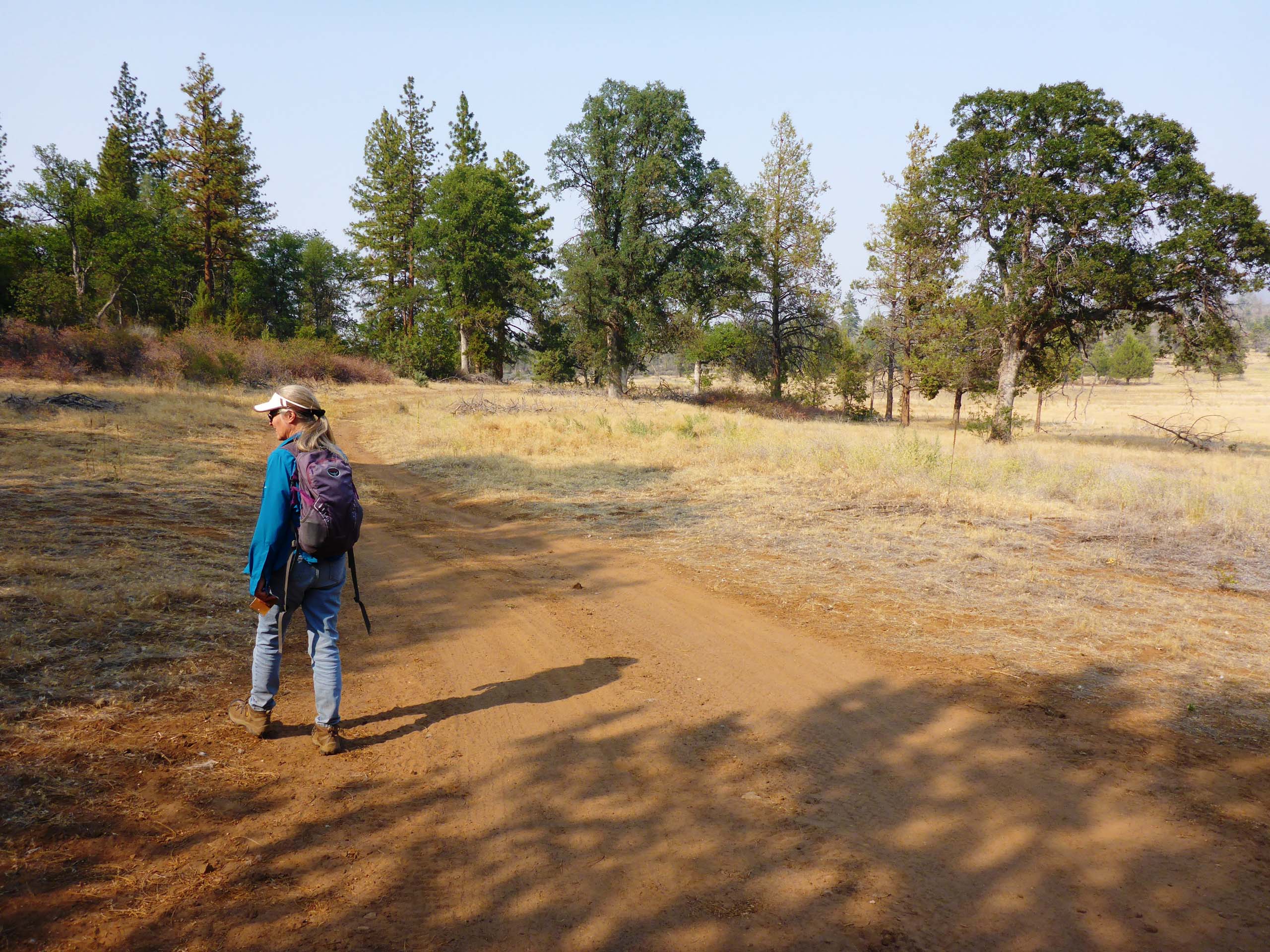
Photo by Don Burk.
Botanically speaking, Cinder Flats is home to many species that we don’t get to see very often in our normal summer haunts. Situated in the dry, eastern side of Shasta County, the area has not been heavily botanized—and especially not late in the blooming season! As a result, we found three species not previously reported in Shasta County: two natives (Texas bergia and California amaranth) and one introduced species (pinkweed). Another interesting find was two species of vinegar weed (AKA bluecurls) that are different from the one that occurs locally in the Redding area. In 2017, Shasta Chapter member Chris Gray wrote an excellent article on our locally occurring vinegar weed, entitled The Secret Life of Vinegar Weed. You can access that article here, and see photos of the Cinder Flats vinegar weeds, as well as several other species of interest, in the slideshow below. All photos by Don Burk. Enjoy! -Laurie & Don Burk


