
The Lassics is a botanically fascinating area west of Ruth Reservoir and south of Highway 36, in Trinity and Humboldt counties. It is in a very remote location, and it takes a long time to get there—part of our excuse for putting off a visit. It was a little challenging to get up the resolve to finally go, but we’re sure glad we did!
Mount Lassic Wilderness was so designated in 2006, and consists of 7,272 acres on the far western edge of Six Rivers National Forest. One of the defining features of this wilderness is an intriguing set of three peaks, all ~5,860 feet high, and all within a single linear mile. Ironically, two of those peaks are outside of the wilderness boundary. Only Mount Lassic (AKA Signal Peak; Green Lassic) is within the wilderness boundary; Black Lassic and Red Lassic are just outside.
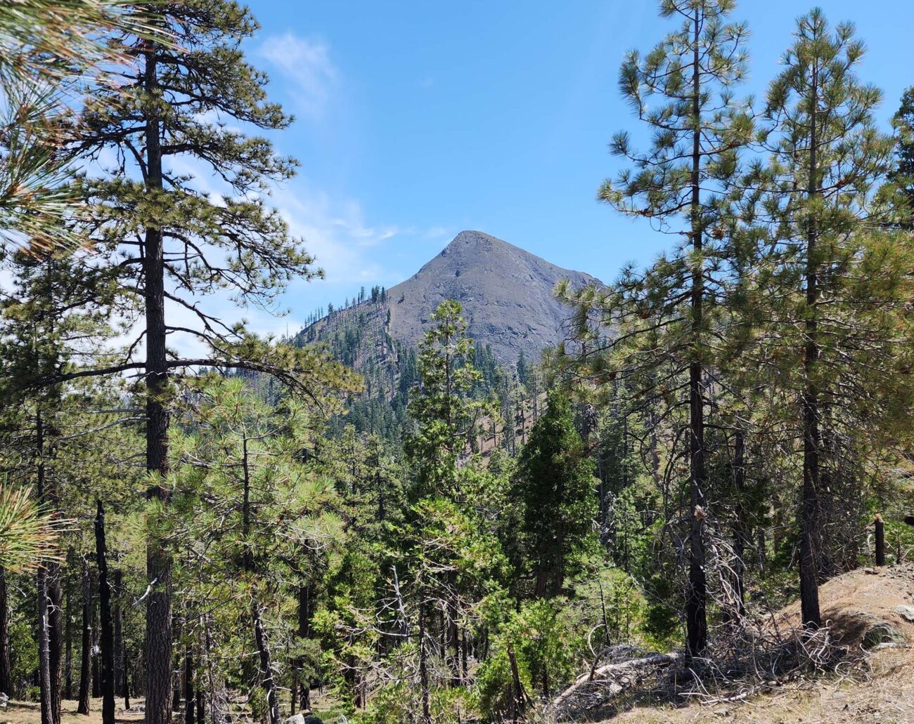
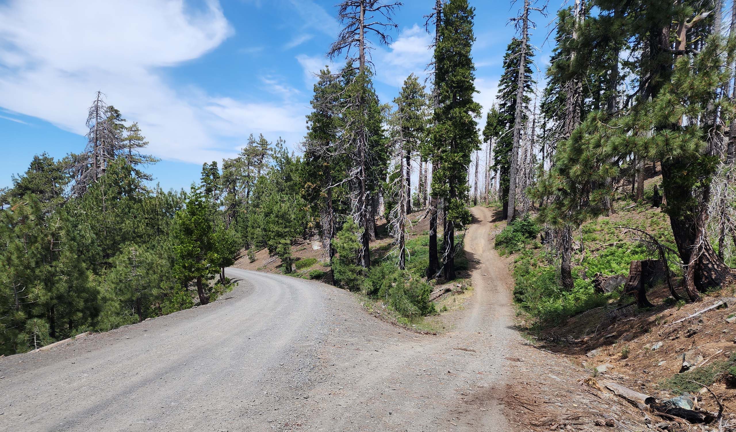
We chose to hike Black Lassic first. While the peak looks daunting from a distance, its southwestern nose provides a fairly gentle slope to the top. The real challenge in scaling this peak is figuring out how to get there. There is no official trail so, never having been there before, we just parked on the road and took off. We now know that there is a right way and a wrong way to get there. The right way includes taking a side road to a parking area and finding a use trail that follows a drainage along the western foot of Black Lassic to the southwestern ridgeline.
The wrong way involves parking on the main road as close to the low ridgeline as possible, and then bushwhacking cross-slope around two hills to eventually descend into the top of the “right way” drainage.
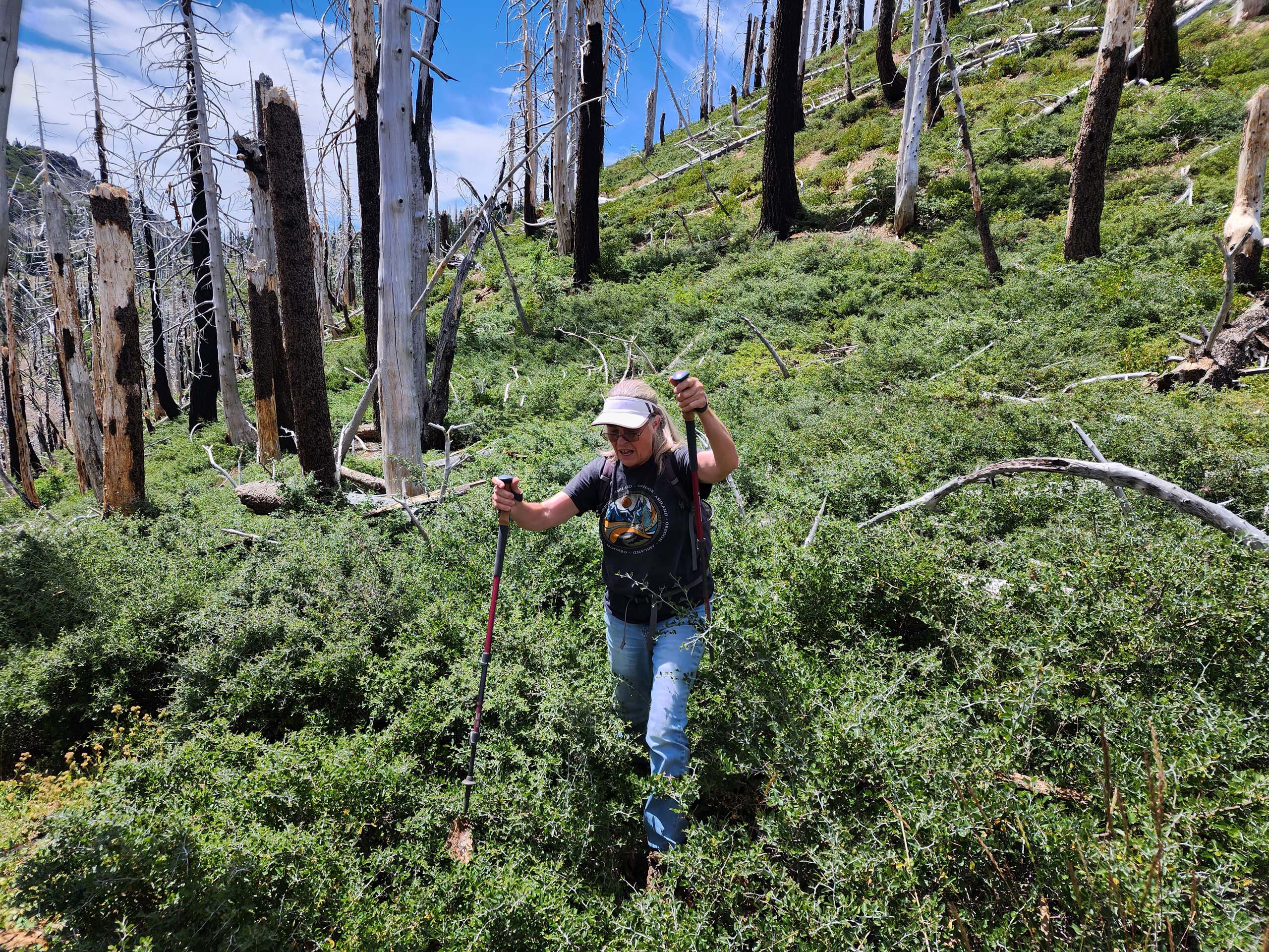
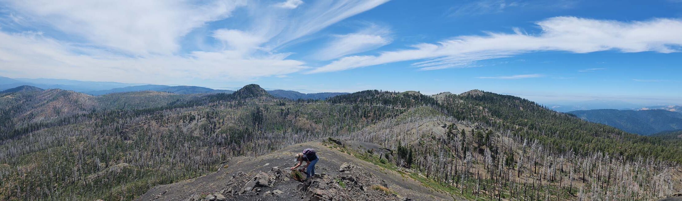
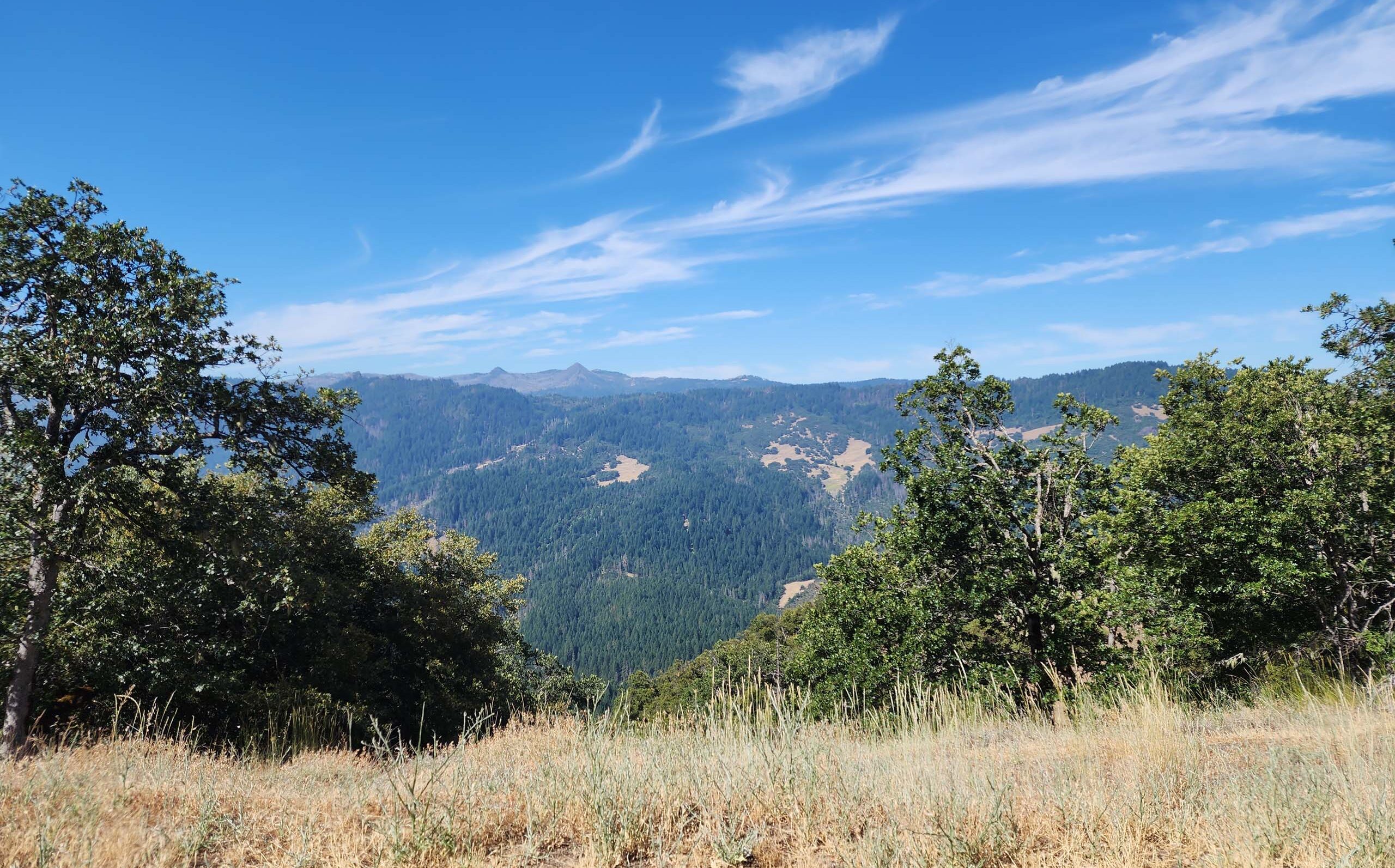
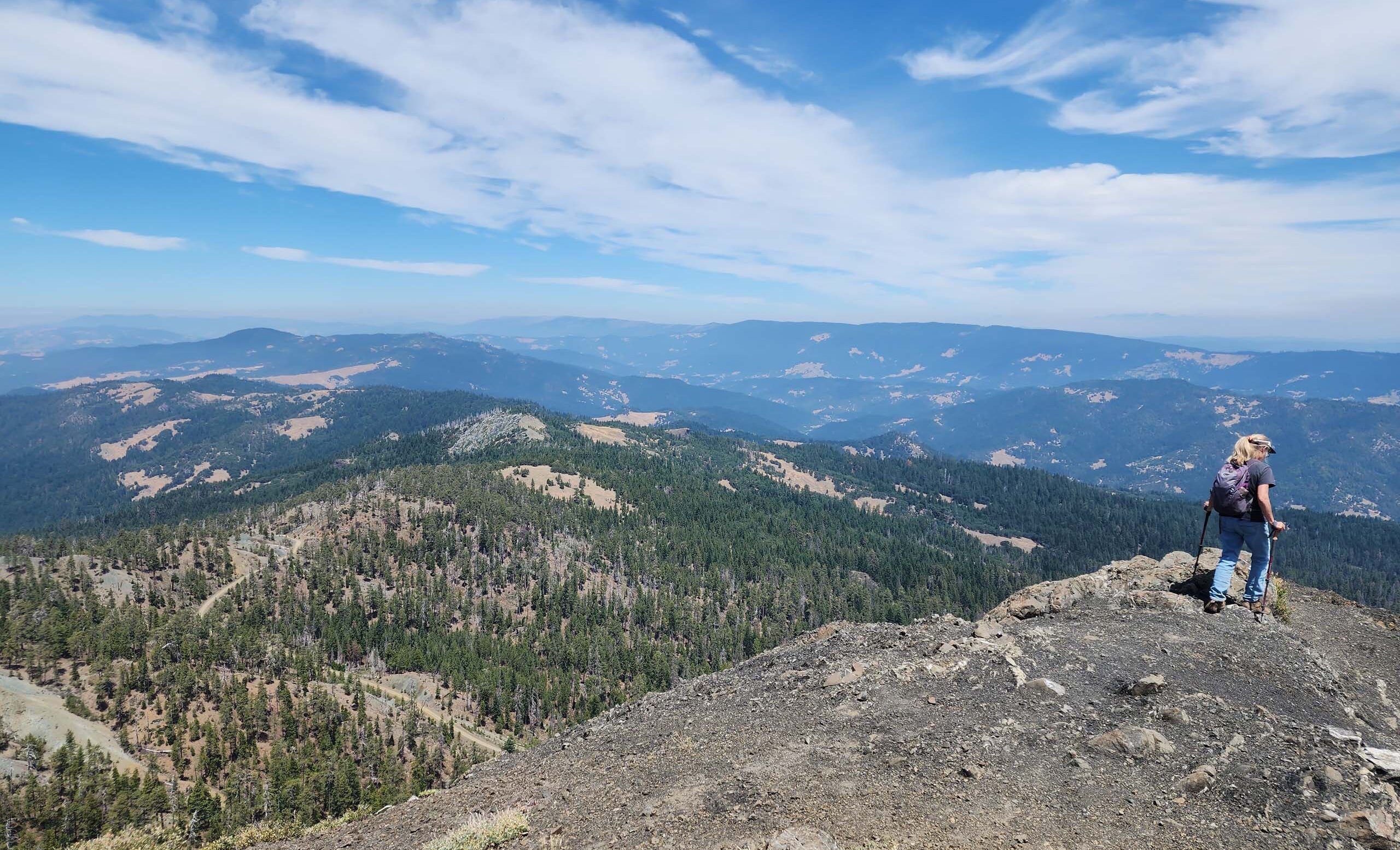
Once on the nose ridgeline, it’s simply a matter of muscling one’s way to the top. It is moderately steep, but there are many botanical excuses for stopping along the way, and the views from the top are quite rewarding.
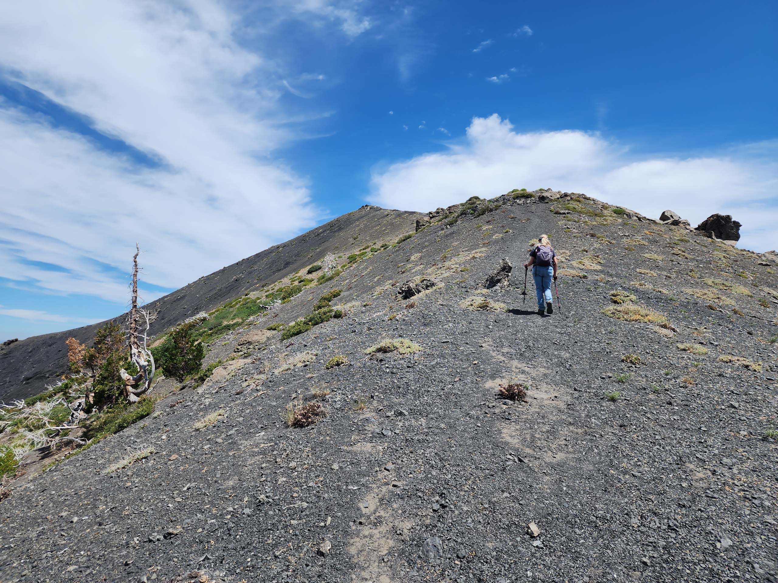
Photo by Don Burk. July 23, 2023.
On the way down is when we came across the drainage trail, which we very thankfully took back to the road. Many species, different from what we found on the slopes of Black Lassic, were blooming in this drainage—this is definitely the way to go!
To get there, take Highway 36 west past the community of Mad River to Van Duzen Road. Turn left (south) onto paved Van Duzen Road and drive ~8.8 miles to the unsigned Forest Service Road 1S07, a good dirt road. Turn right (west) onto Forest Service Road 1S07 and drive ~7.1 miles to the 4-wheel-drive side road that will take you to the use trail in the drainage at the foot of Black Lassic.
It’s only about 0.5 mile to the top, with ~500-foot elevation gain, for a total ~1.1-mile hike. As all three peaks are about the same in terms of distance and elevation gain, and all so close together, one would think that all three could be bagged in one afternoon. We’d thought so, too, but it was a hot day and we were so tuckered by the time we got back to the truck after Black Lassic that we decided to call it a day. But not before promising ourselves that we’d be back!
Here is a slideshow featuring of a few of the beauties we met in The Lassics. All photos by Don Burk. Enjoy! -Laurie & Don Burk


