
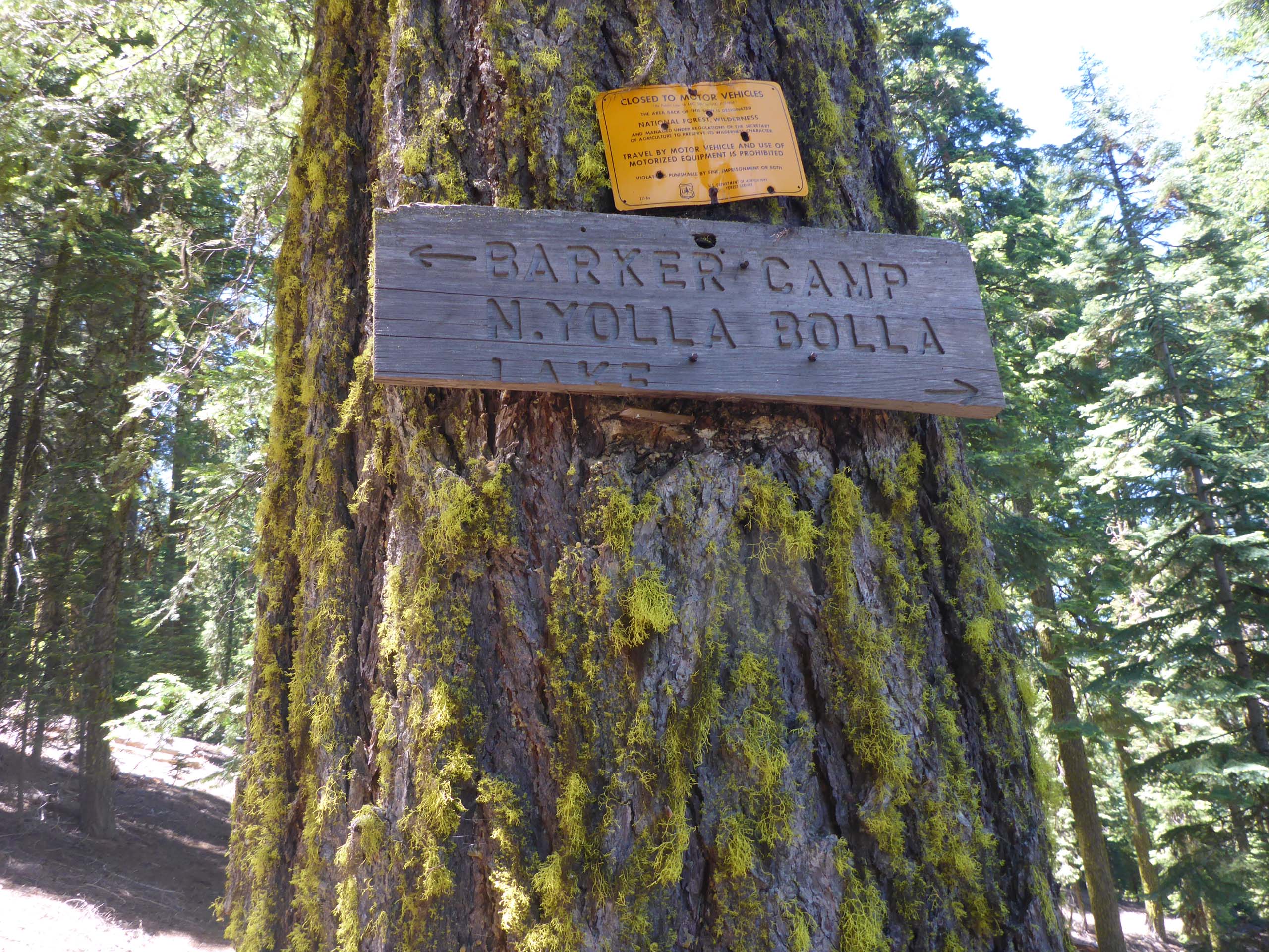
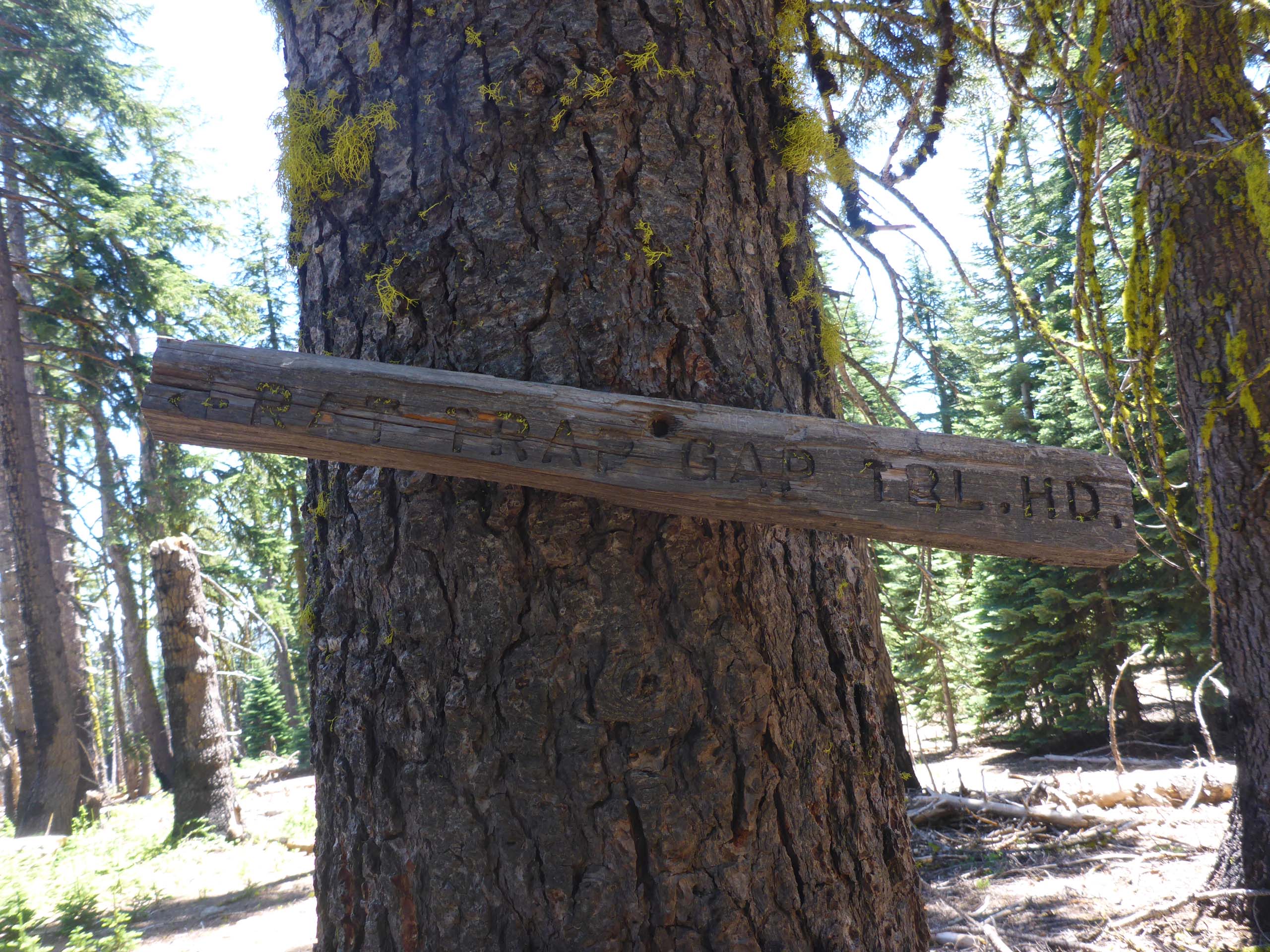
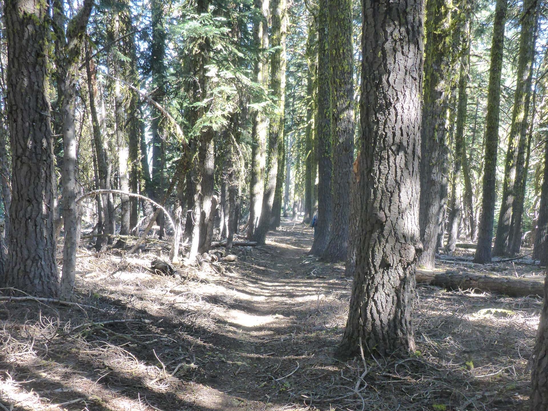
It was back to Rat Trap Gap Trailhead in the Yolla Bolly Mountains for us on Sunday, July 12, 2020. But instead of heading toward North Yolla Bolly Lake on the Yolla Bolly Lake Trail, we went the other direction, south on Cold Fork Trail, toward Barker Camp.
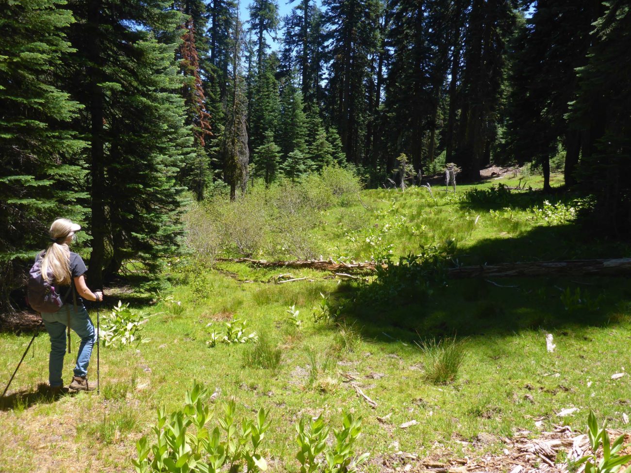
Barker Camp (AKA Barker Meadow) is a lovely little alpine meadow just before the Yolla Bolly–Middle Eel Wilderness boundary, and is most likely a historic cabin site. While most wildflowers were already done for the season, still blooming were plenty of white violets, monkeyflowers, and the prettiest saxifrage ever.
After a nice botanical break in the meadow, we continued up the trail a short way to the ridgetop. Here, poorly marked, is a four-way intersection, where Cold Fork Trail makes a 90-degree turn and heads east over to East Low Gap and Tomhead. This section of the Cold Fork Trail was obliterated by fire in 2008 and was still impassable at this time last year. We were delighted to see that it had now indeed been cleared! But that will be a hike for another day.
The trail that leads west from the intersection is the North Yolla Bolly Mountain Trail.
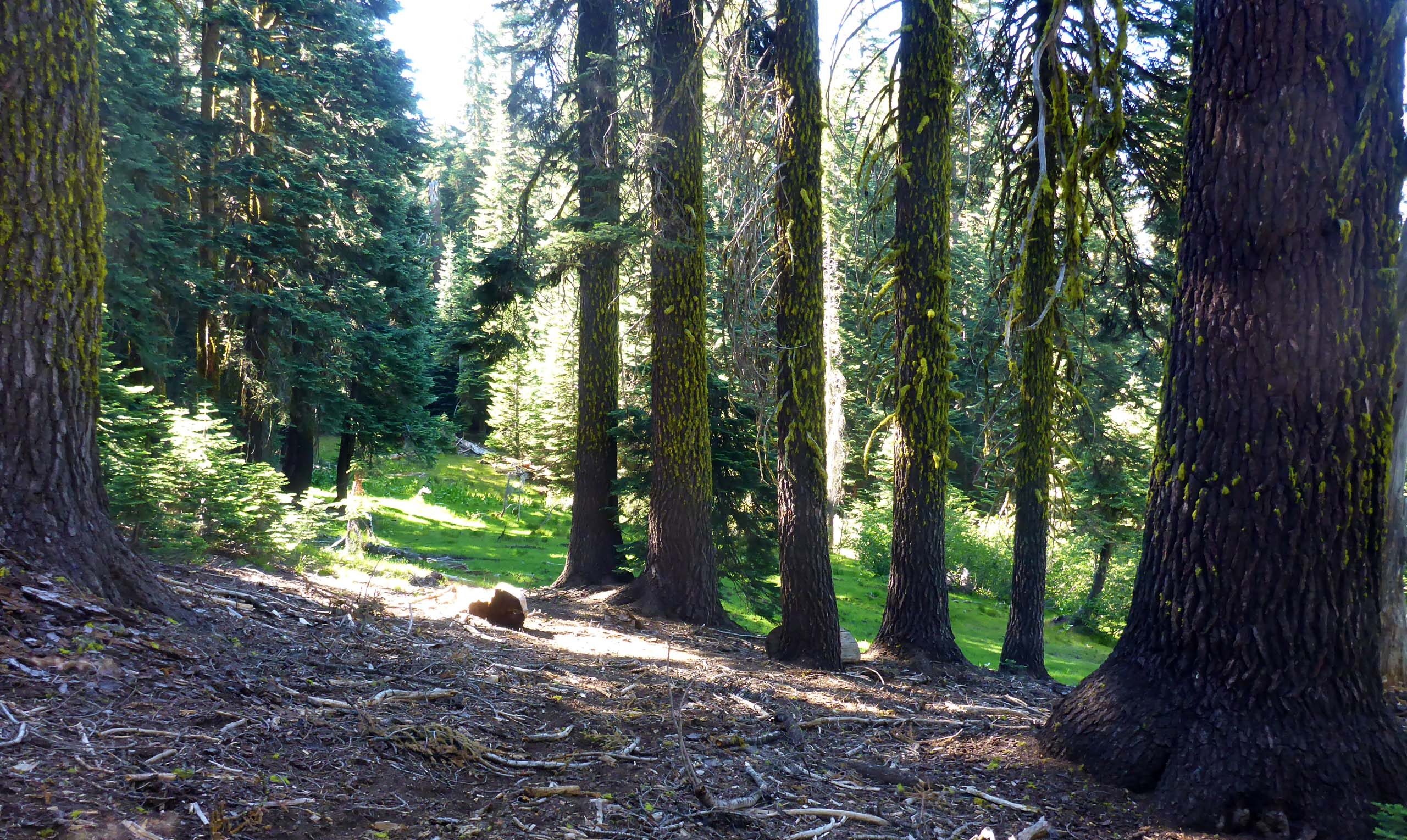
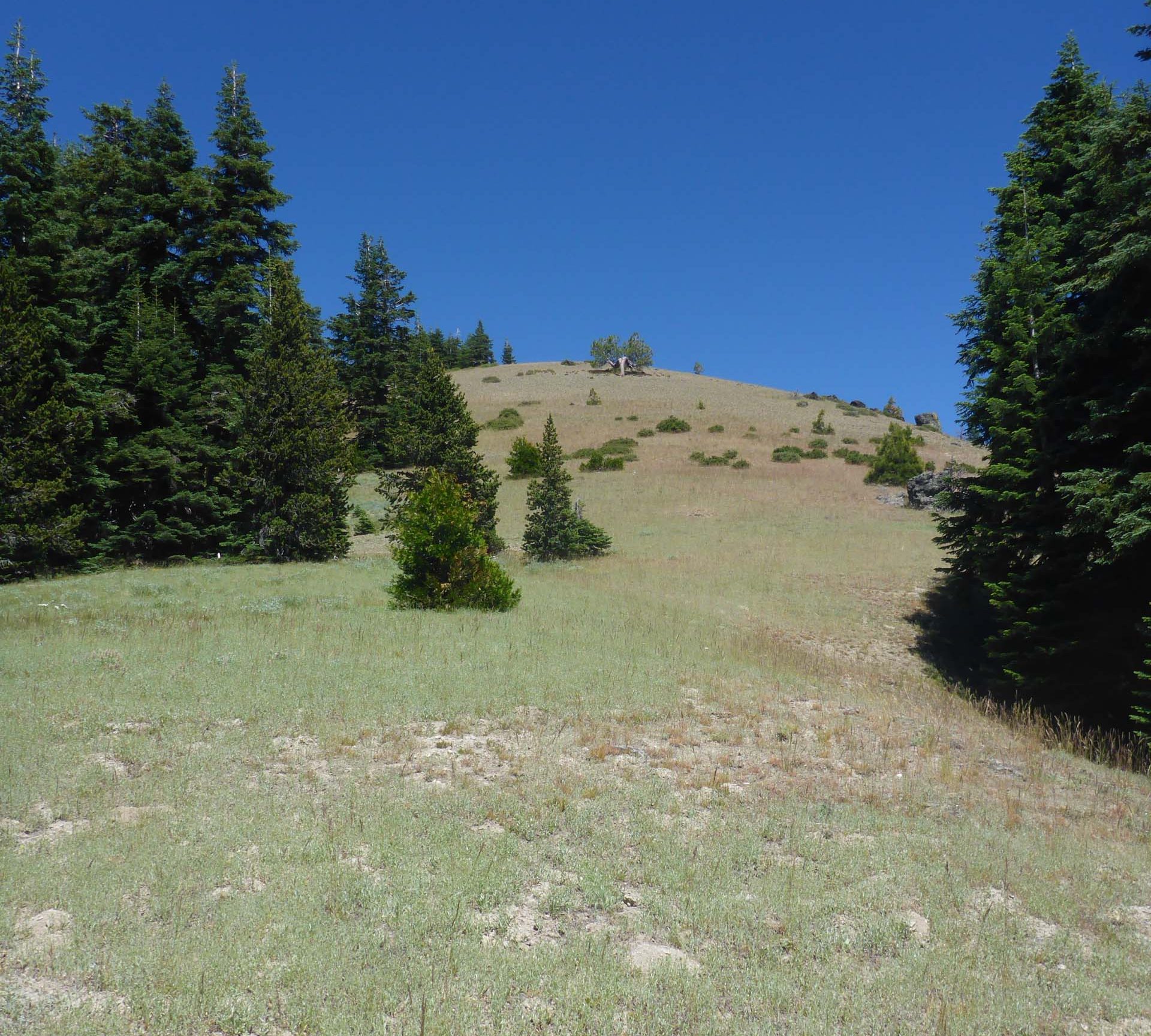
This is the trail that we were interested in, but we do not recommend it to beginning hikers. Once the trail leaves the forest and moves across dry, open slopes, it is not always discernible. If you are not comfortable cross-country hiking and using a topo map and compass, this is probably not the trail for you.
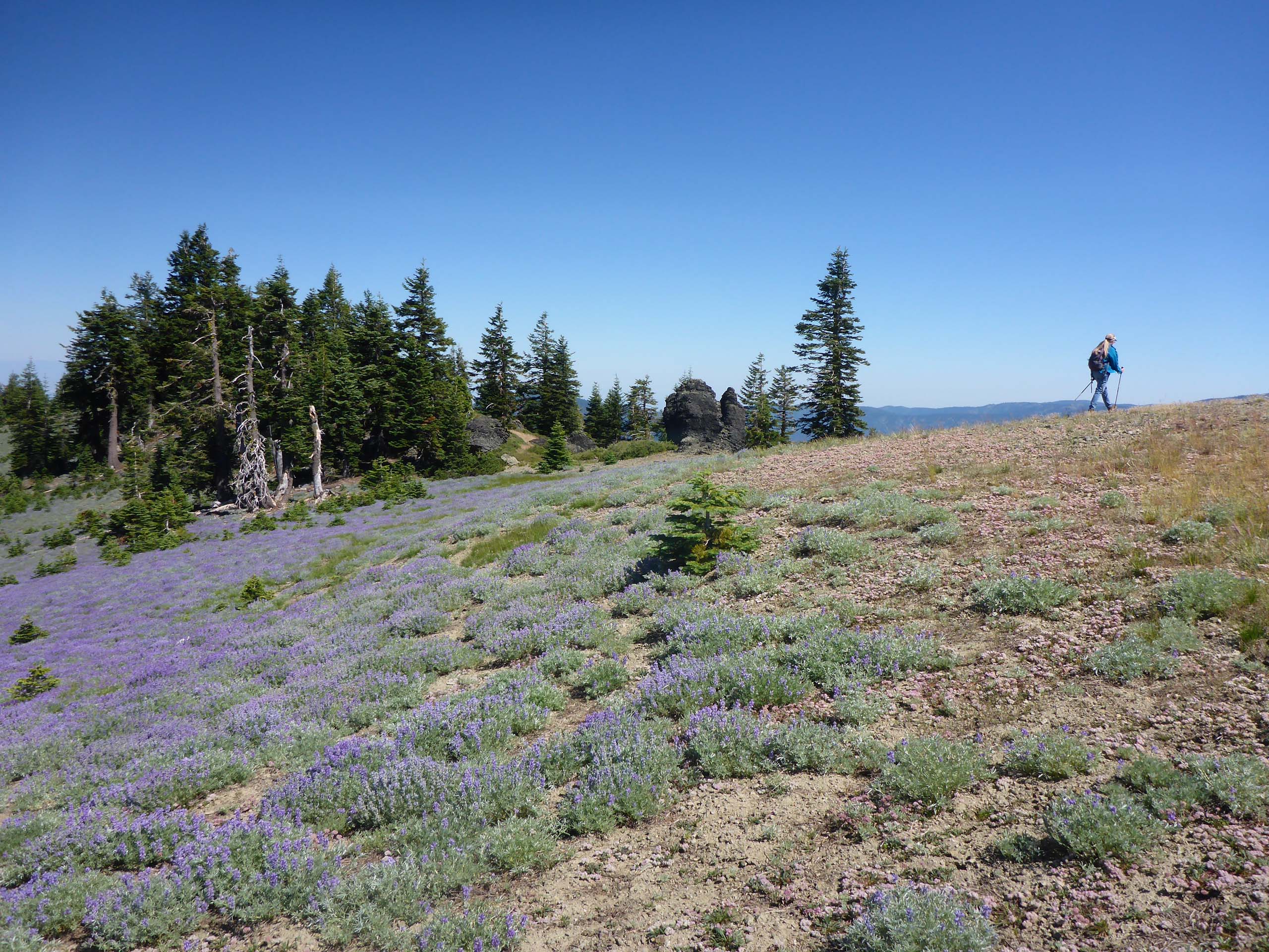
This being our third trip to the area, we didn’t need a trail to get to our destination: the top of an unnamed peak that we call Peak 2298 (which refers to its elevation, in meters, as marked on our map). We did, however, follow the trail, at least when it was visible, until we got to the western nose of the peak. There, we abandoned the trail and scrabbled our way to the top, checking out all of the dry-slope denizens on the way. A cool Ivesia was our most exciting find.
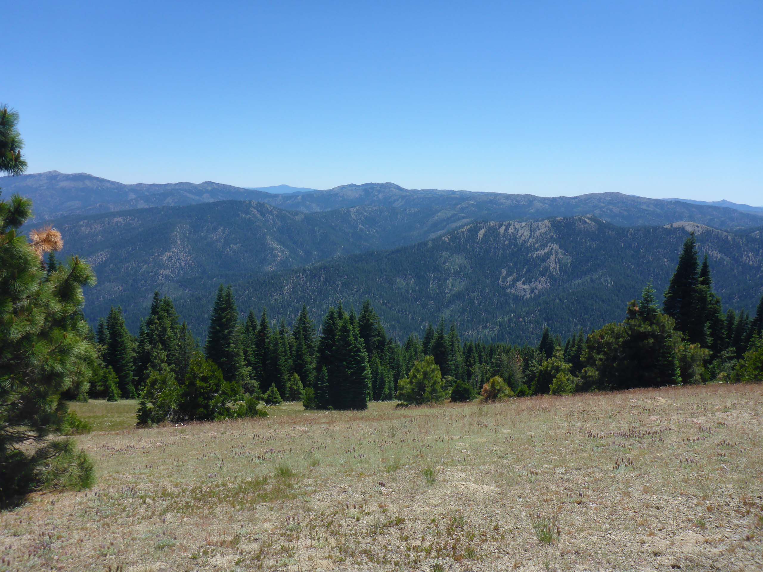
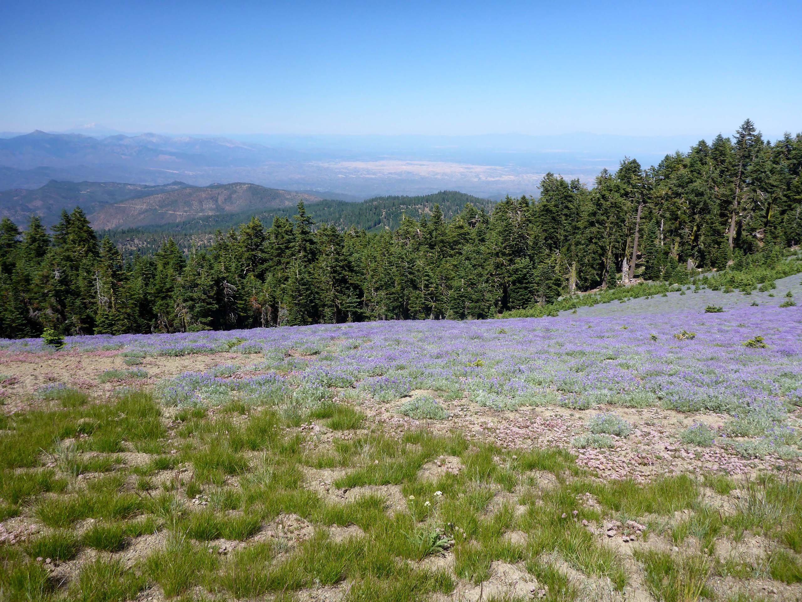
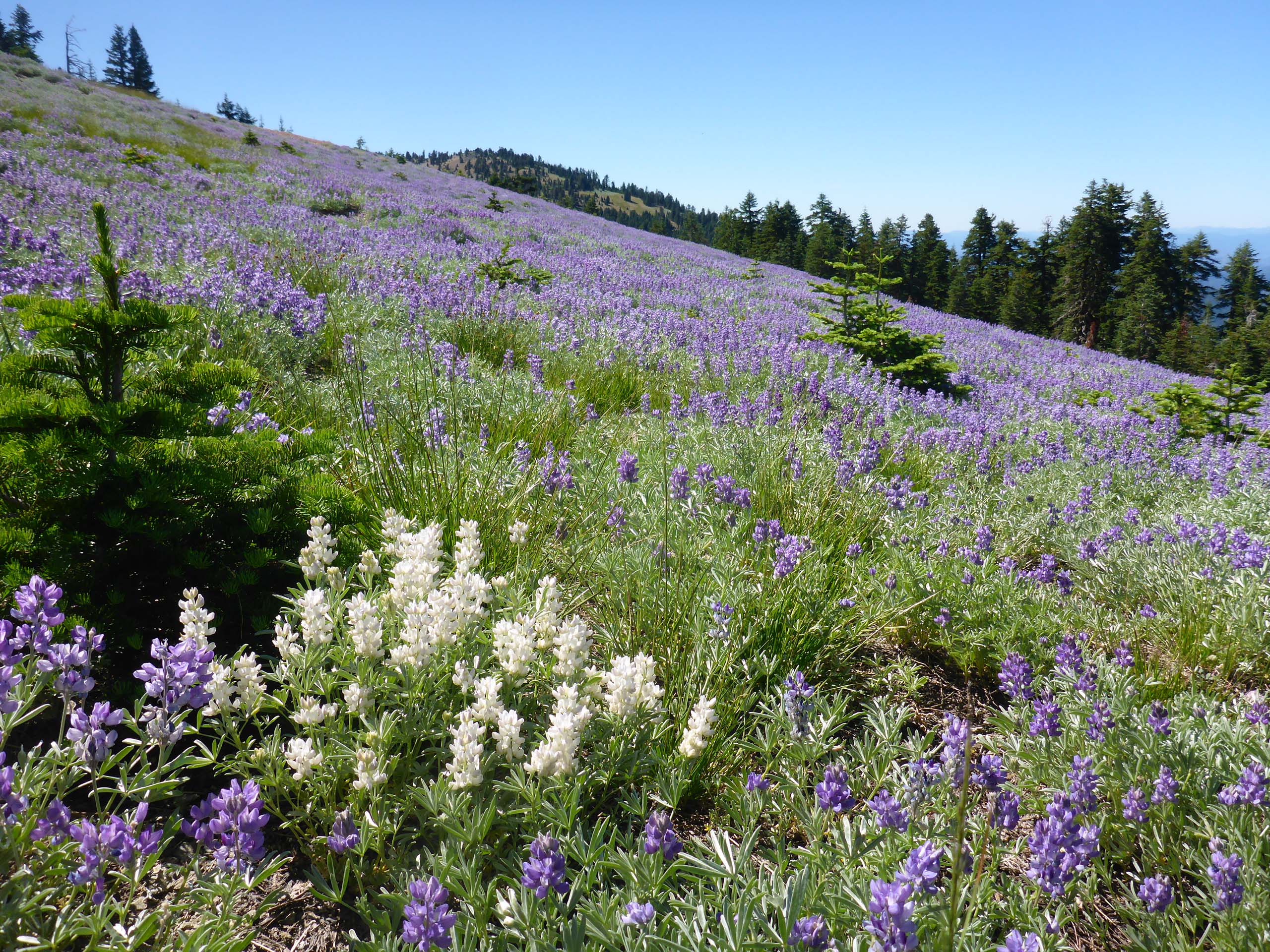
From the top you’ll see some spectacular views, as well as some breath-taking expanses of satin lupine and pussypaws crawling down the north-facing slopes.
On our return, we followed the peak’s sloping ridgeline east until the going became too encumbered by forest, at which point we dropped down to North Yolla Bolly Mountain Trail and retraced our steps back to Rat Trap Gap.
Because of the elevation gain over a short distance, we’d rate this hike as moderately difficult. Cold Fork Trail goes relentlessly uphill, sometimes steeply so, all the way: 1.25 miles to Barker Camp, and another 0.25 miles to the intersection, for an elevation gain of 1,100 feet at the intersection. Another mile and 450-foot elevation gain on North Yolla Bolly Mountain Trail to the peak gives a total one-way hike length of 2.5 miles, with an overall 1,550-foot elevation gain.
To get to Rat Trap Gap Trailhead, go west on Highway 36 to Tedoc Gap Road (AKA Forest Road 45). Turn south here and follow the dirt road for 18 miles to the trailhead. This is a remote and lightly used wilderness that takes time to get to, but is well worth the effort.
We hope you’ll enjoy the following slideshow of photos that Don took on our hike. The neat thing about this hike is that you get to see two very different habitats—wet meadow and dry slope—in a very short distance. Enjoy! -Laurie & Don Burk


