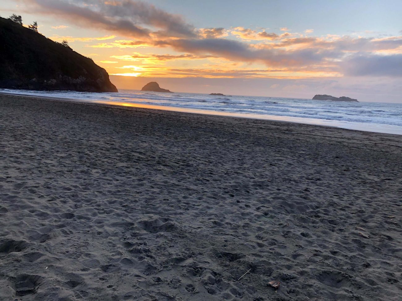
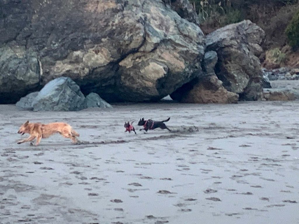
Once again the ocean and coast were calling to us—just as the mountains do from time to time! So, we hitched our trailer to the pickup, gathered dogs Tiny and Baxster, and headed for the Emerald Forest Campground just north of the small town of Trinidad. Three hours later, we popped up our tent trailer and headed for an evening walk on beautiful Trinidad State Beach, where Tiny and Baxster found a friendly dog to chase and be chased by.
Returning to our trailer, daughter Ciara and my wife Billie used their smartphones and an app called HikingProject to search for a likely next-day’s hike while I got the heater going and warmed up our homemade soup.
The next morning after a late breakfast, we drove north on Hwy 101 for about 20 minutes and found Dry Lagoon. The trail to Stone Lagoon begins with a quarter-mile hike on the beach, heading north. The beach is littered with many interesting old tree stumps and logs that the ocean waves have deposited over the years.
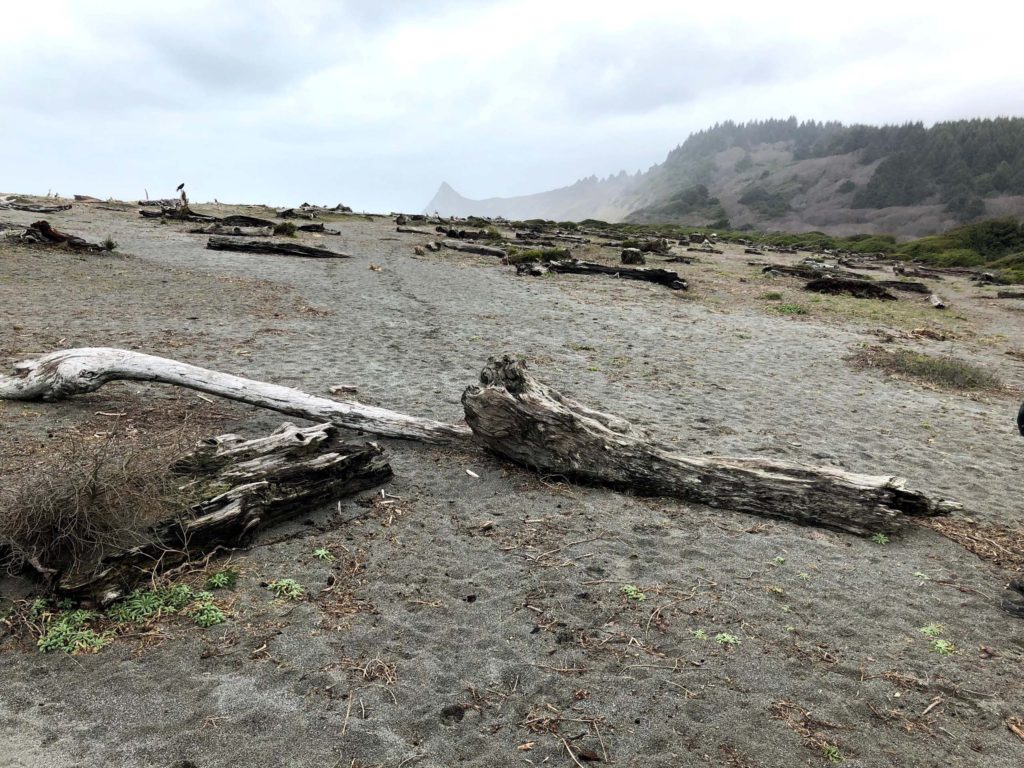
January 22, 2021. Photo by Chris Harvey.
There is no marked trail on the beach, but if you keep a sharp eye you’ll find the path that leads you upward into a forest dominated by Sitka spruces and red alders.
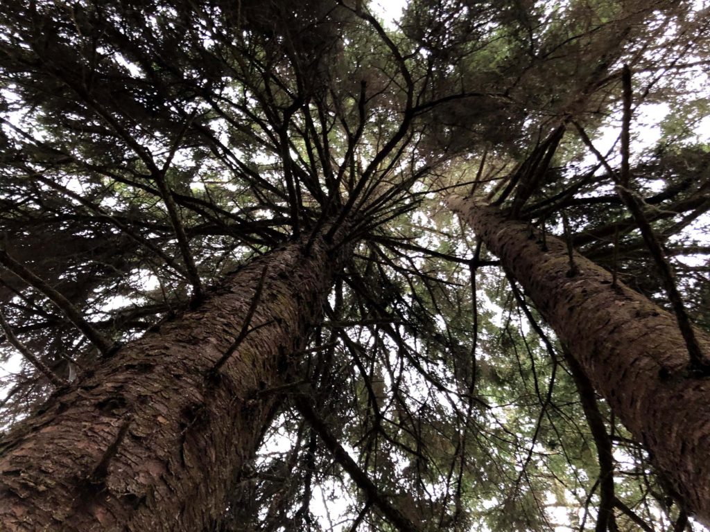
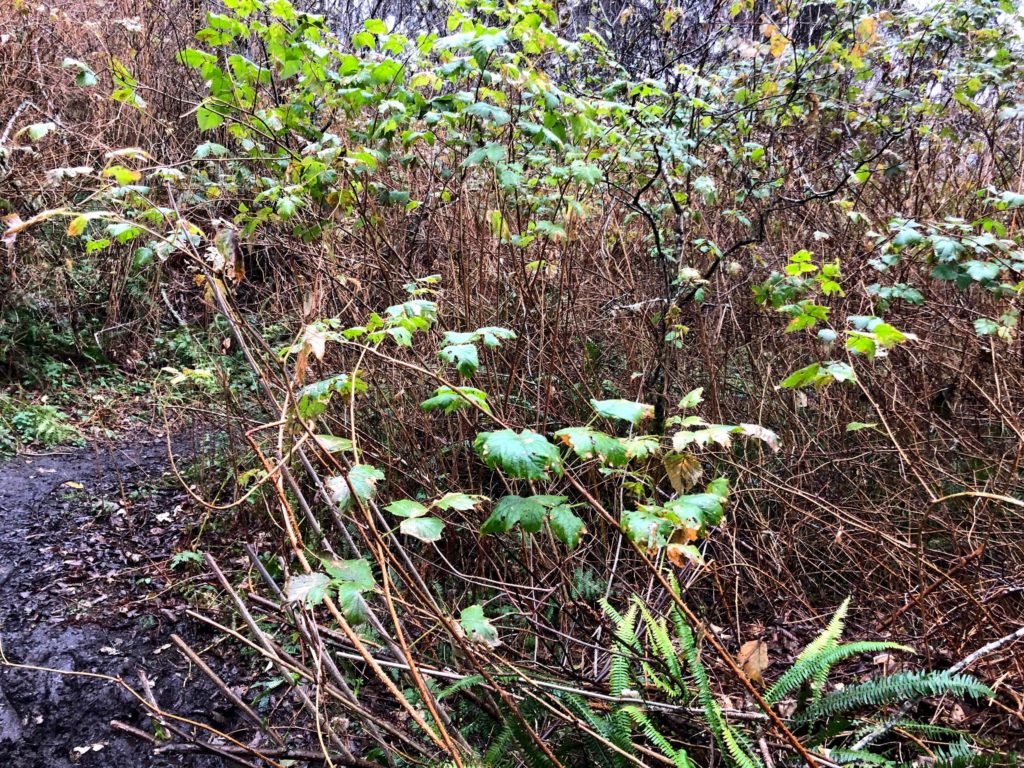
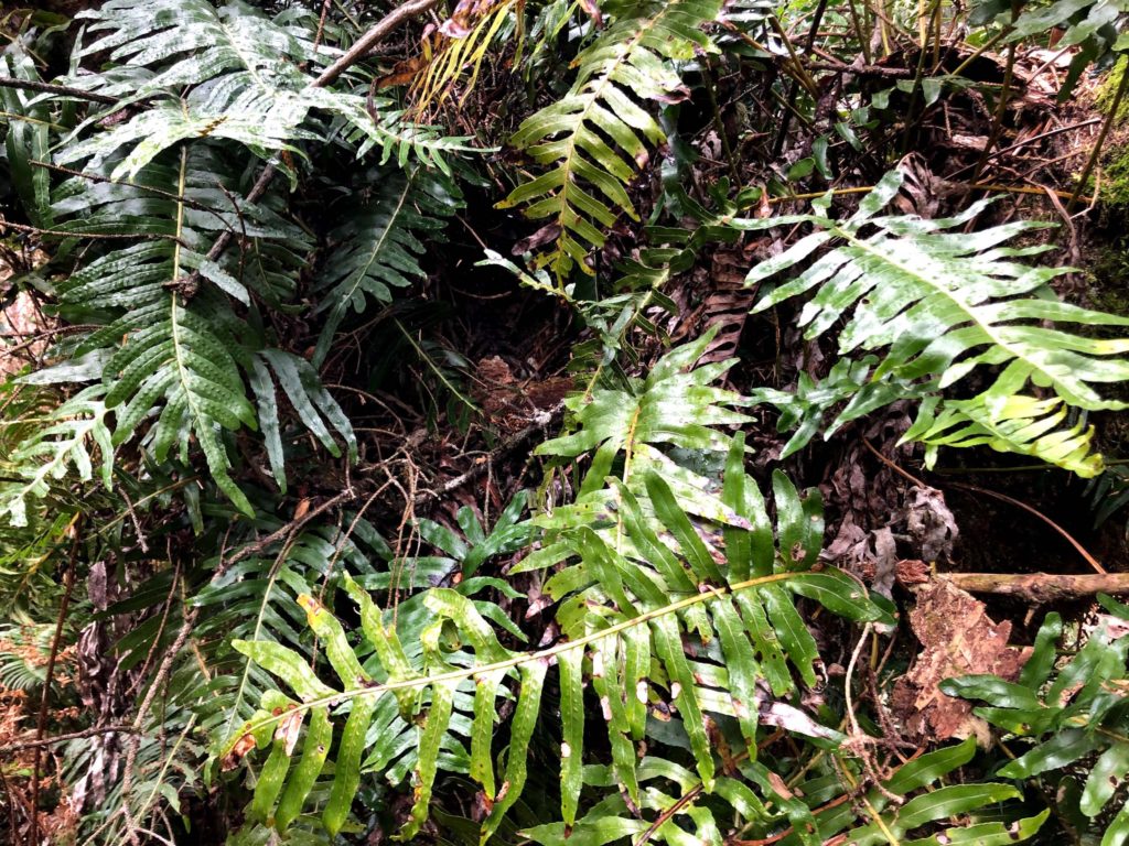
There are several types of ferns along the trail, but what impressed me the most was the sheer number of salmonberry shrubs. The bears must be in heaven when these plants are in fruit!
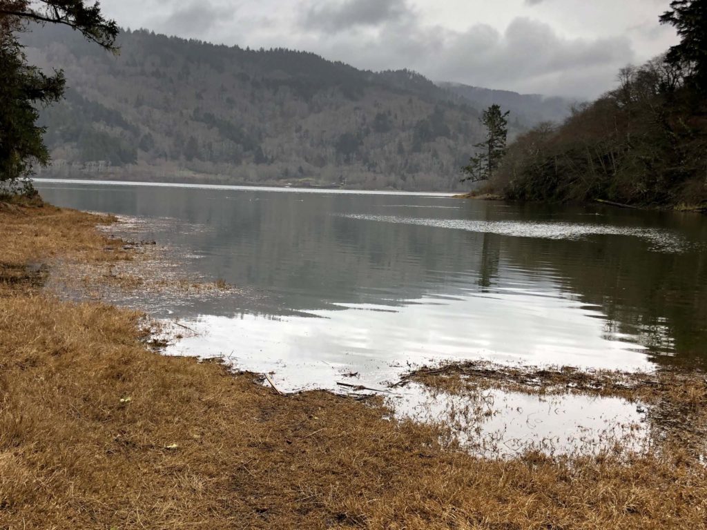
About halfway along the 3.2-mile trail, a spur takes off to the left and leads to Sharp Point (which is visible from the beach at the beginning of this hike). We’ll explore this side trail and Sharp Point the next time we do this hike. Farther on, we did explore another spur trail that took us down to a beautiful campsite on the shore of Stone Lagoon. The campsite is only accessible to hikers and kayakers.
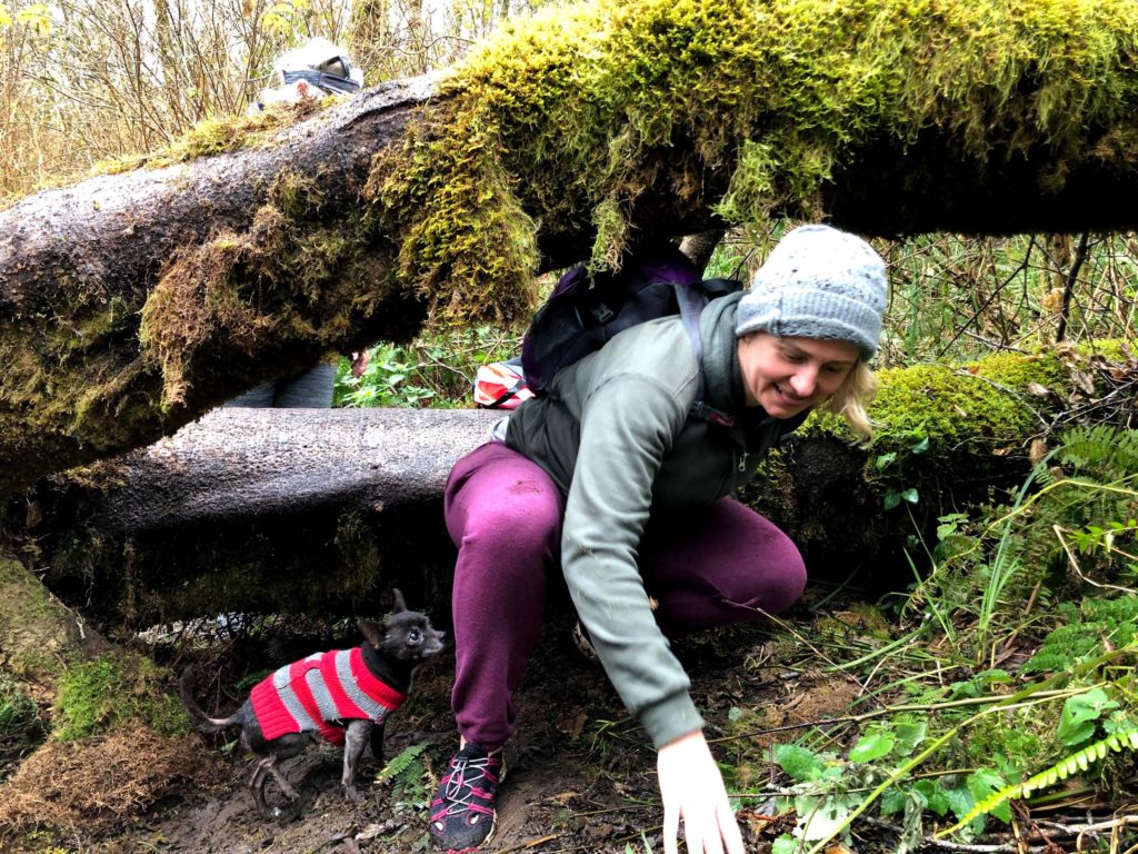
Returning to the main trail, we hiked another 0.2 mile before Ciara sank into mid-calf-deep mud. Here we did an about-face instead of pushing on another 0.3 mile, where the trail terminates on another ocean beach. Next time!
January 22, 2021. Photo by Chris Harvey.
To find Dry Lagoon and the trail to Stone Lagoon, drive 13 miles north of the town of Trinidad on Hwy 101. Turn left onto McDonald Creek Road and proceed for about one mile, where you’ll find a parking lot.
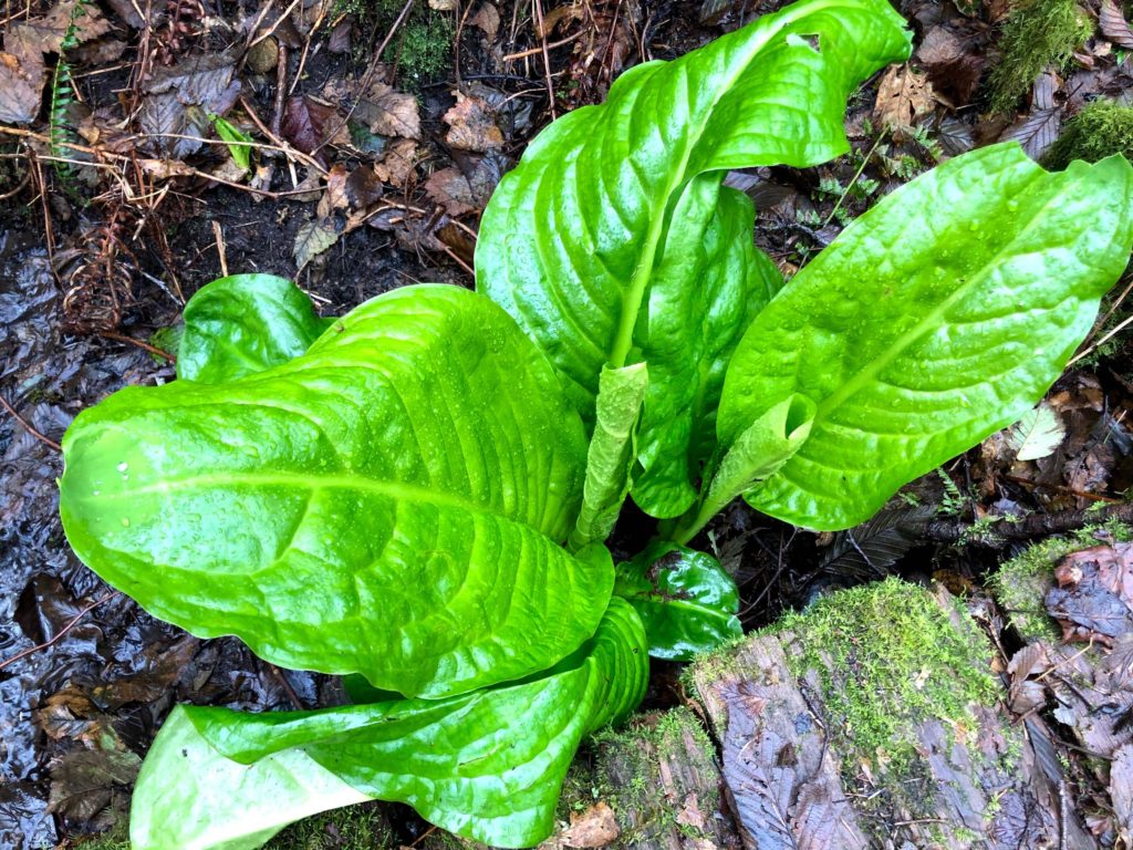
January 22, 2021. Photo by Chris Harvey.
This is a moderately difficult hike. You gain 330 feet in elevation and give it back as you descend to Stone Lagoon. Then you get to climb back up into the forest on your return to Dry Lagoon. We had to make our way over and around several alders that had fallen across the trail, and footing was sometimes tricky because of mud and large tree roots.
Try the free app, HikingProject, which you can download to your smartphone. With this app you can search for hikes both near and far—even out of state. Once on the trail, the app uses your phone’s built-in GPS, together with detailed maps, to show you exactly where you are as you hike. ~Chris Harvey
