Swasey Recreation Area, Redding, is home to a myriad of interconnecting trails that are very popular with mountain bikers, hikers, and horseback riders—in that order. Now is a great time to explore this area because many flowers are beginning to bloom.
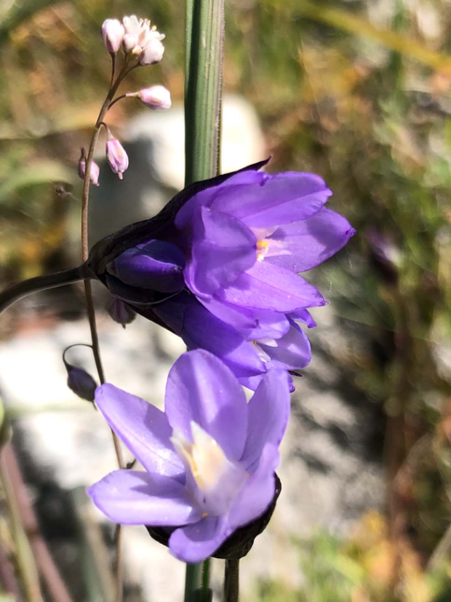
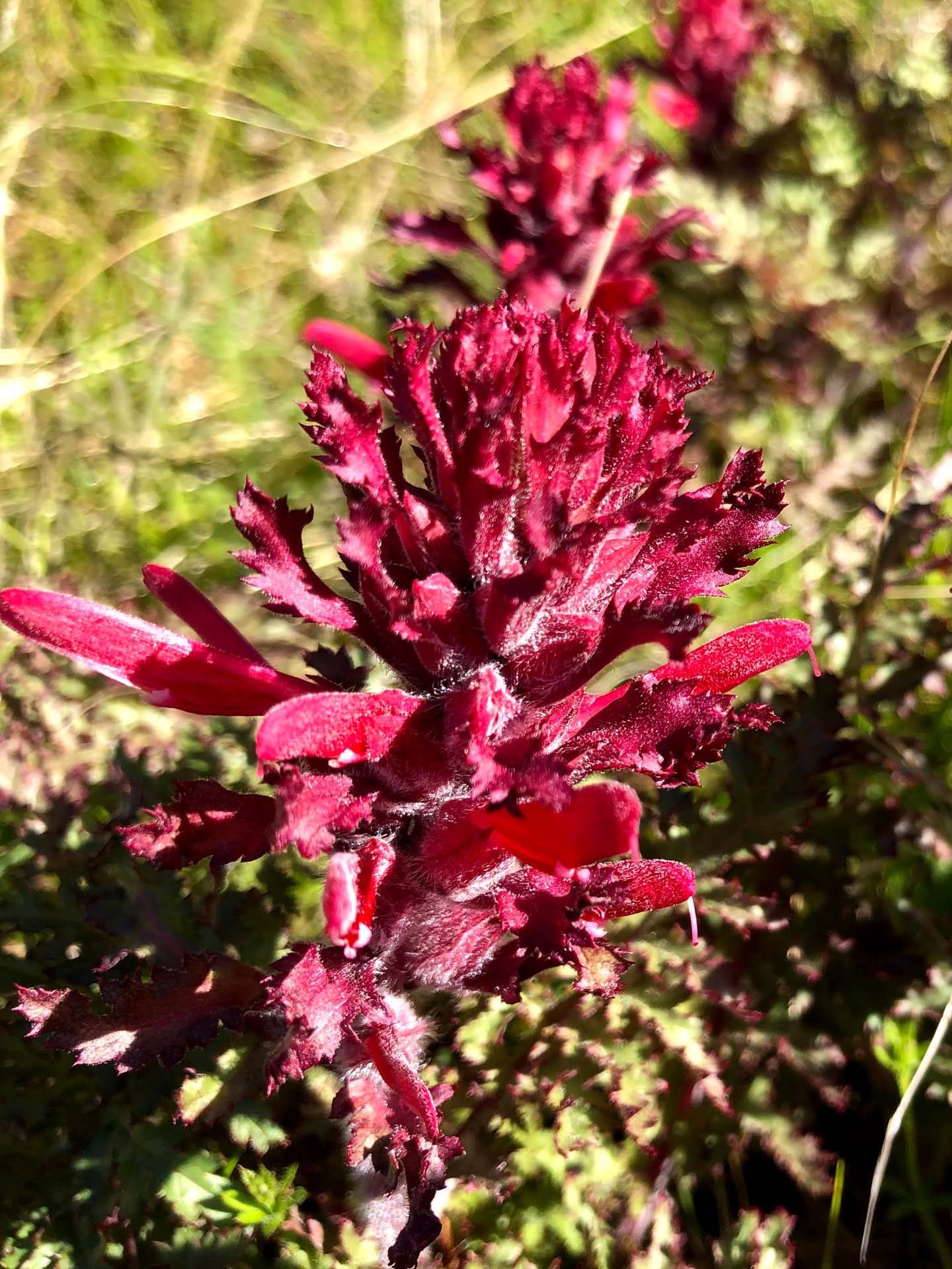
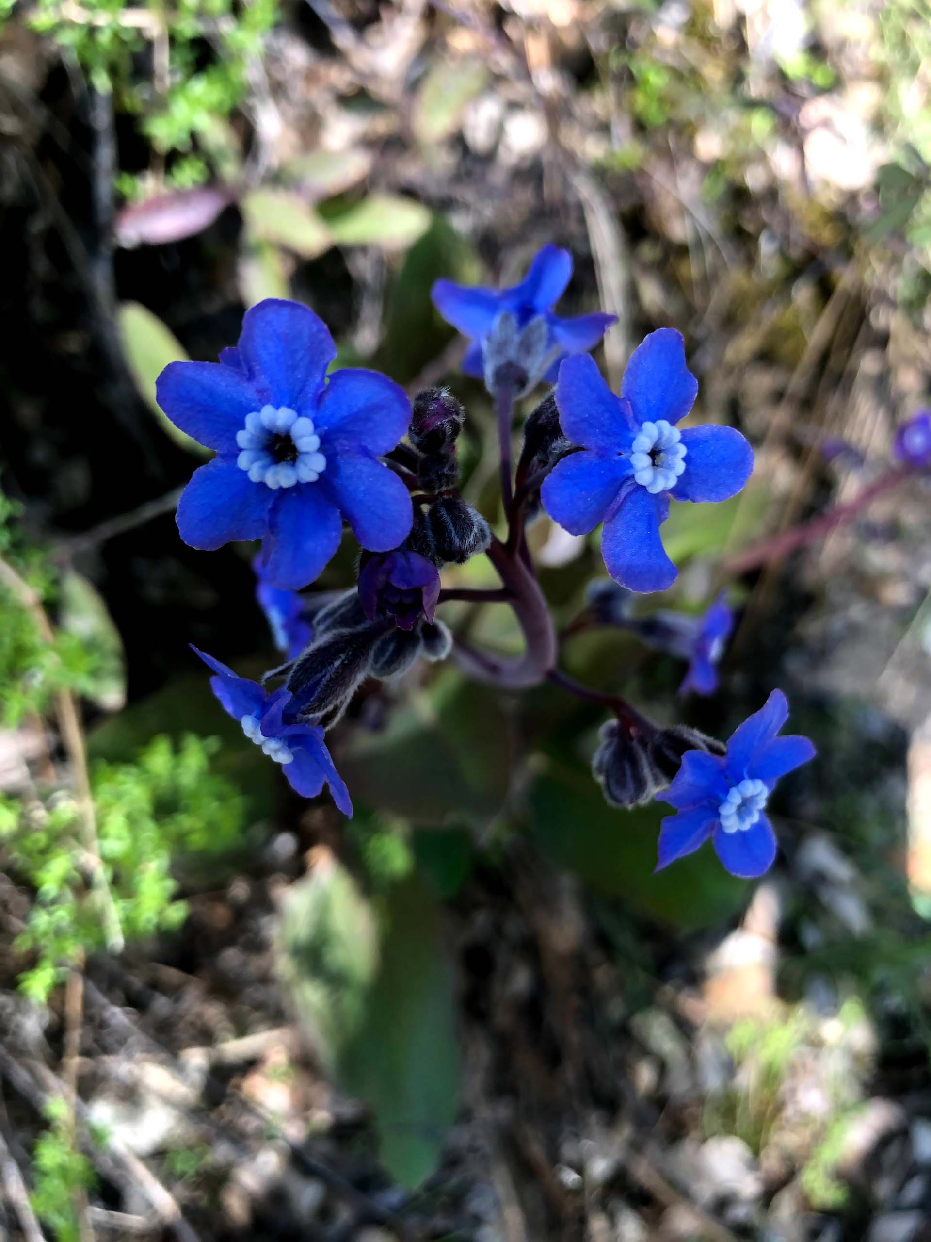
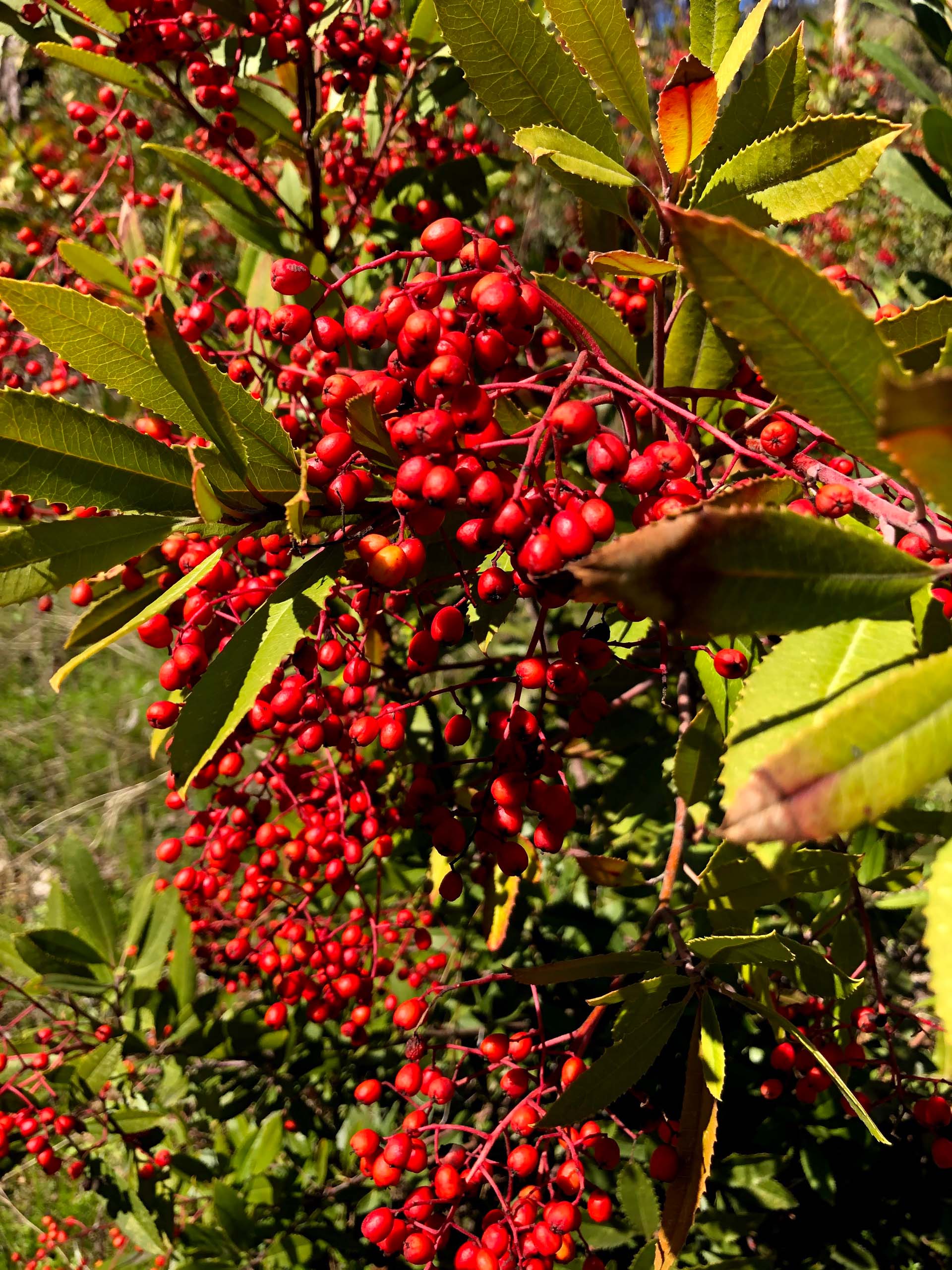
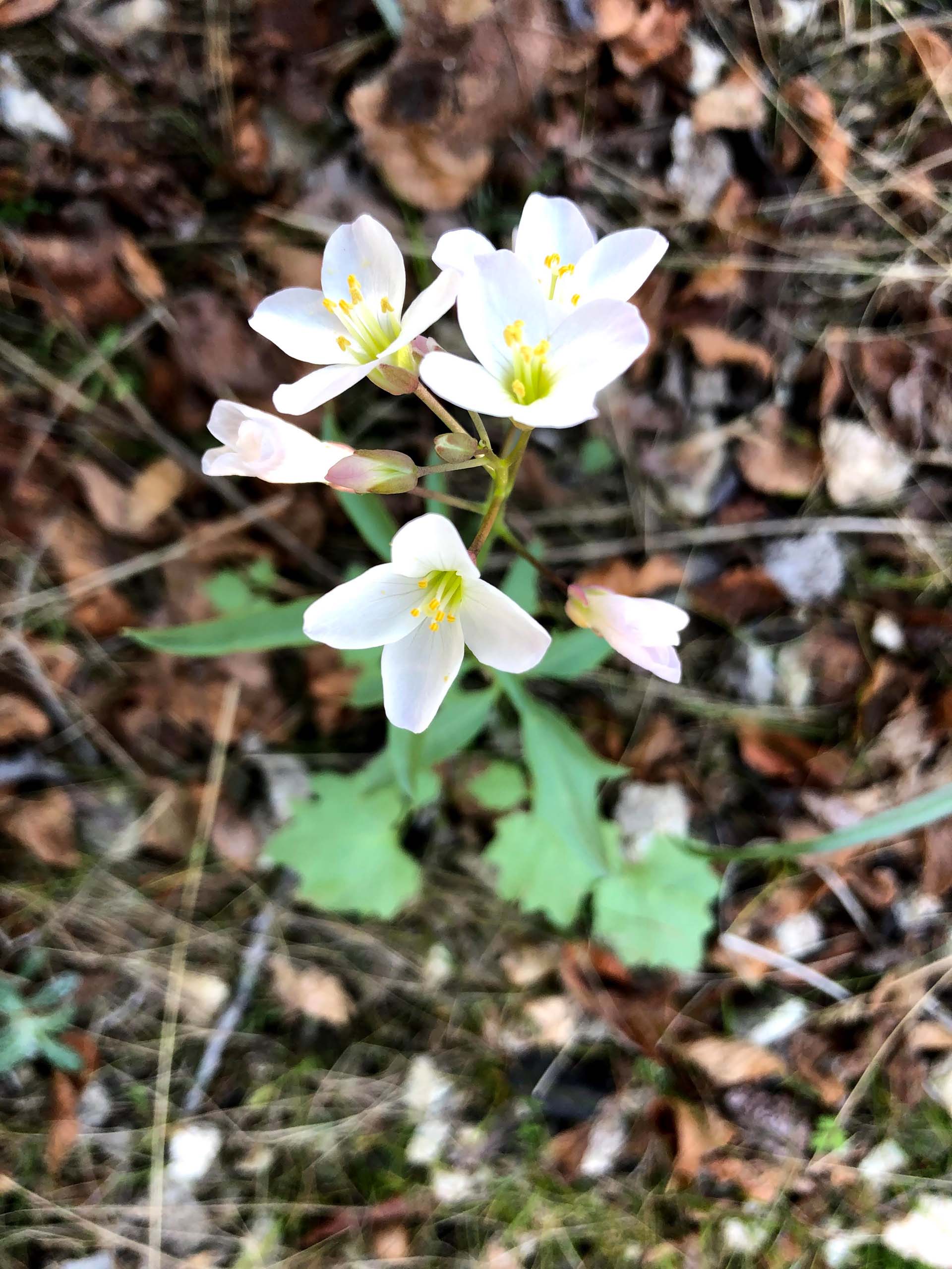
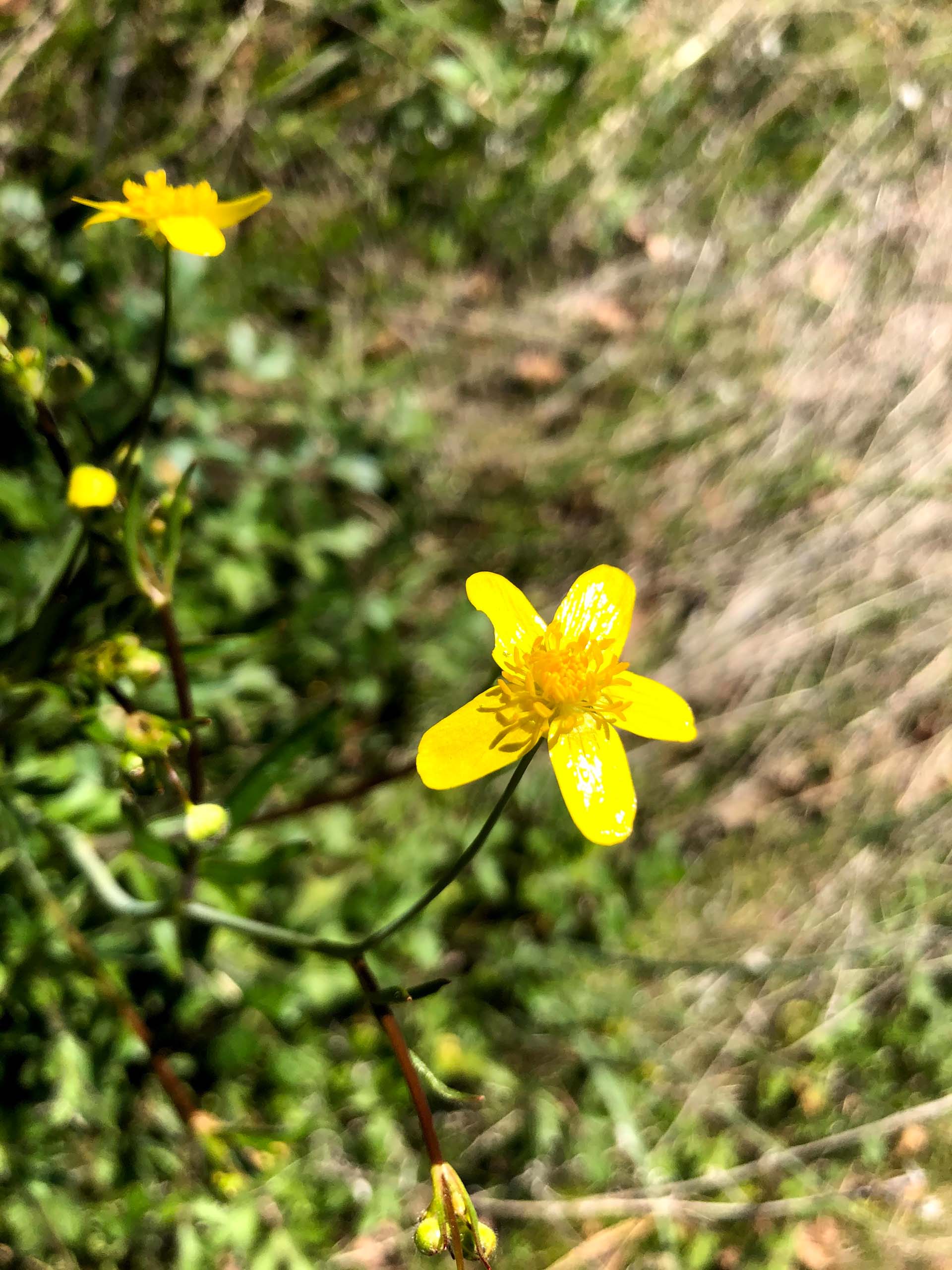
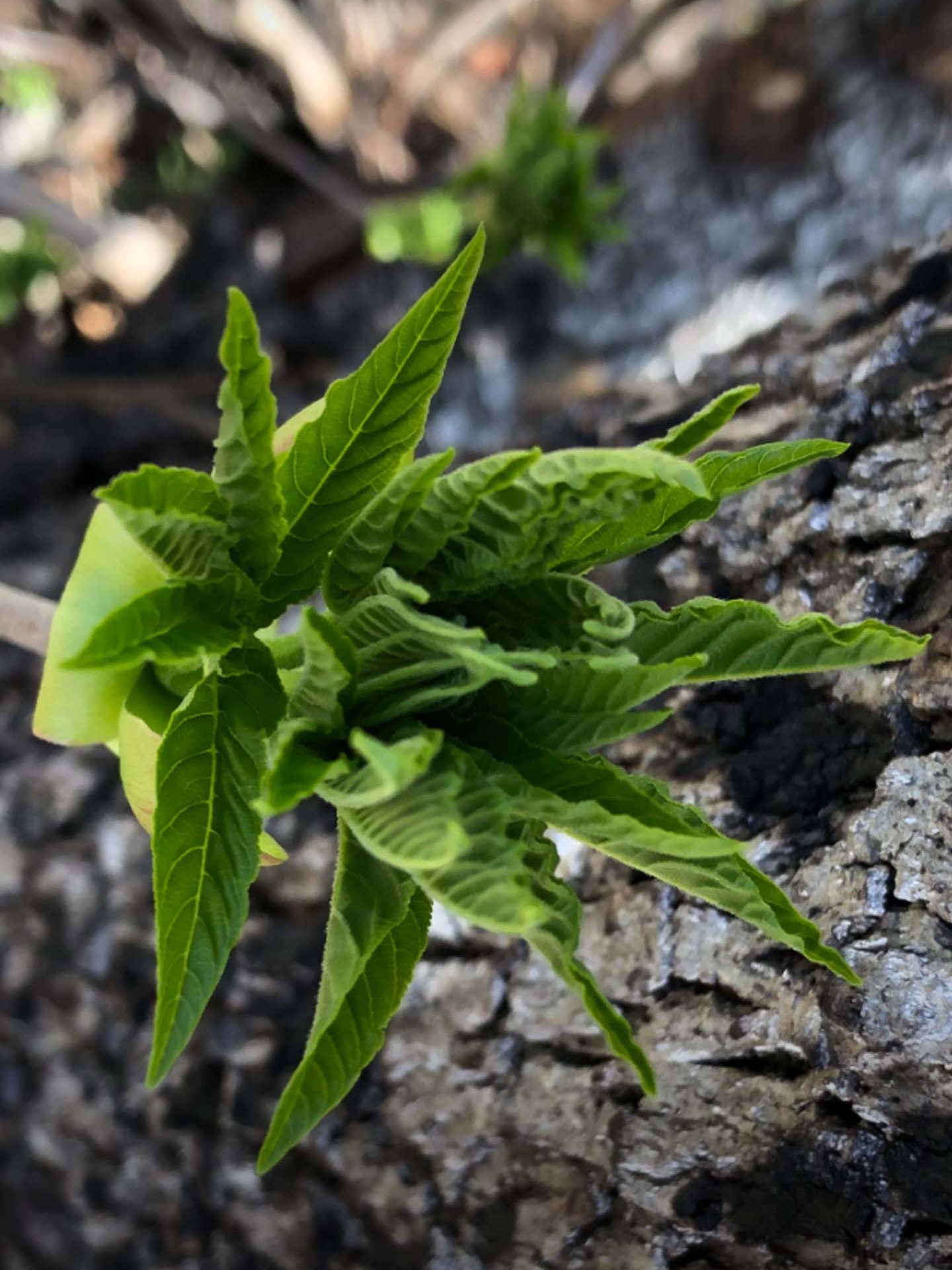
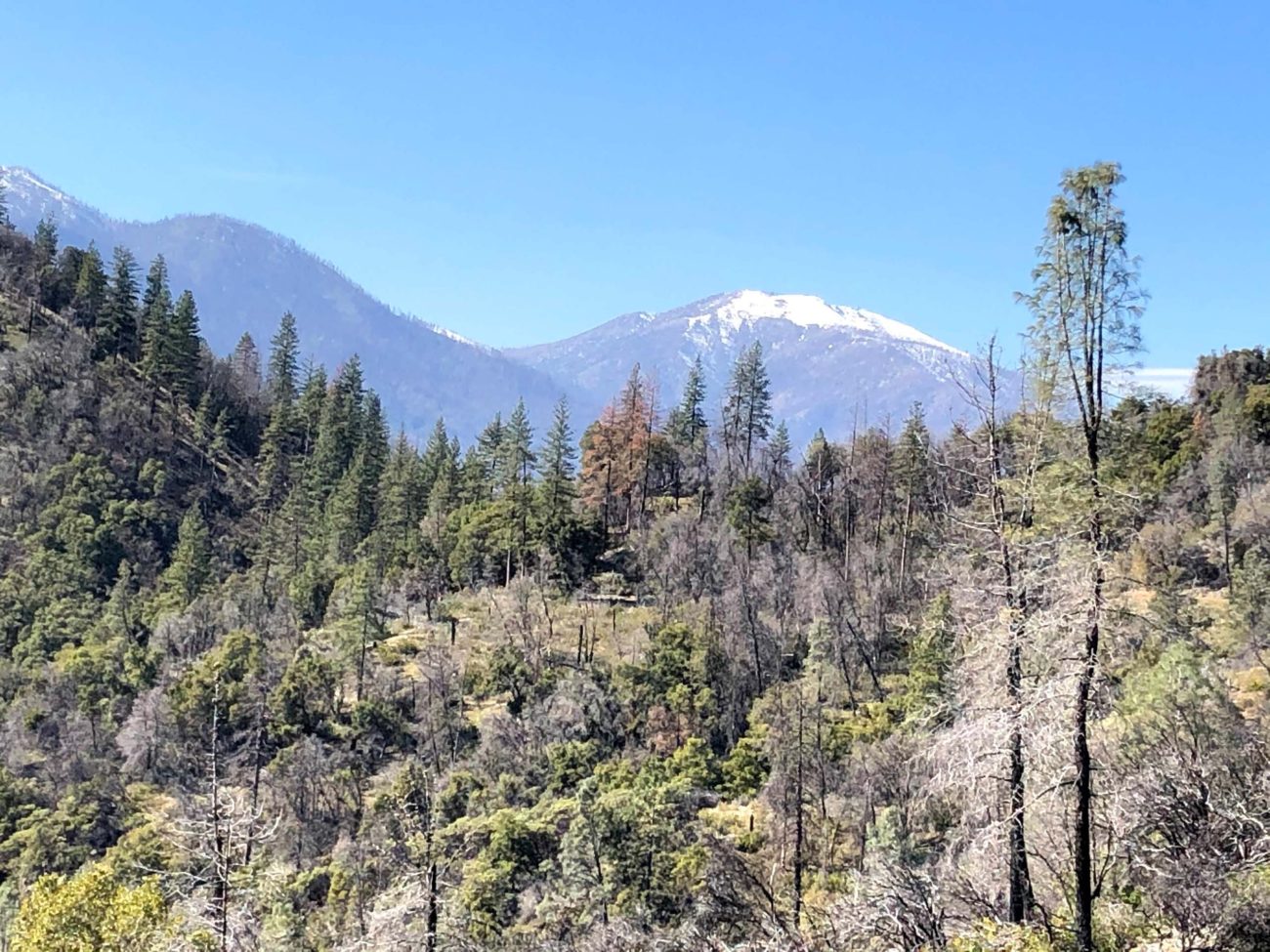
Especially beautiful this time of the year are Henderson’s shootingstars, western buttercups, Indian-warriors, and Pacific hound’s-tongues. The toyon shrubs are still loaded with bright red berry-like fruits, while the California buckeyes are just sprouting their handsome palmate leaves. Also to be seen are nice vistas of Mt. Lassen, Mt. Shasta, and Shasta Bally.
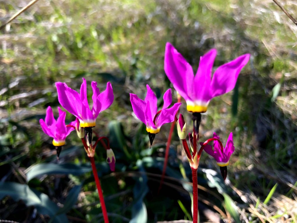
Photo by Chris Harvey.
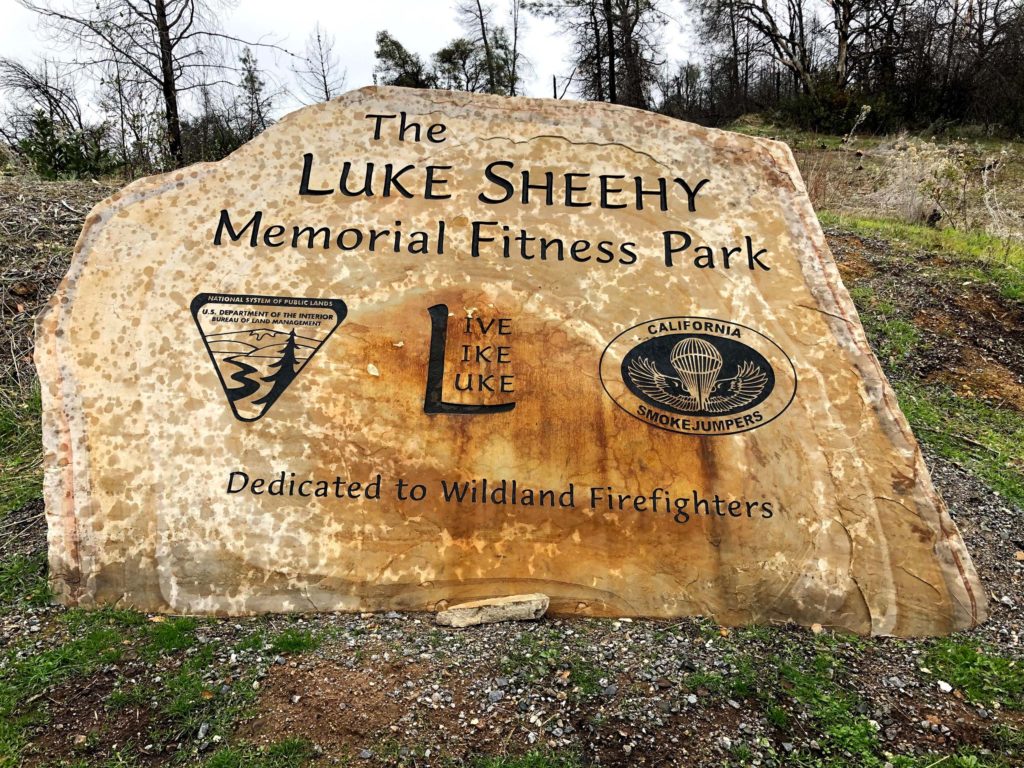
This loop trail begins and ends at the Luke Sheehy Memorial Fitness Park. Park your vehicle and walk around the yellow gate to follow the dirt road westward toward Mule Mountain Pass. After walking downhill for 150 yards, it is easy to pick your way across the shallow Olney Creek.
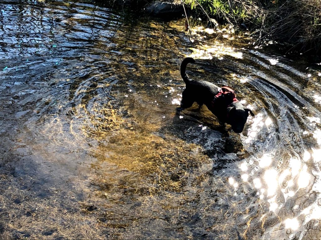
Photo by Chris Harvey.
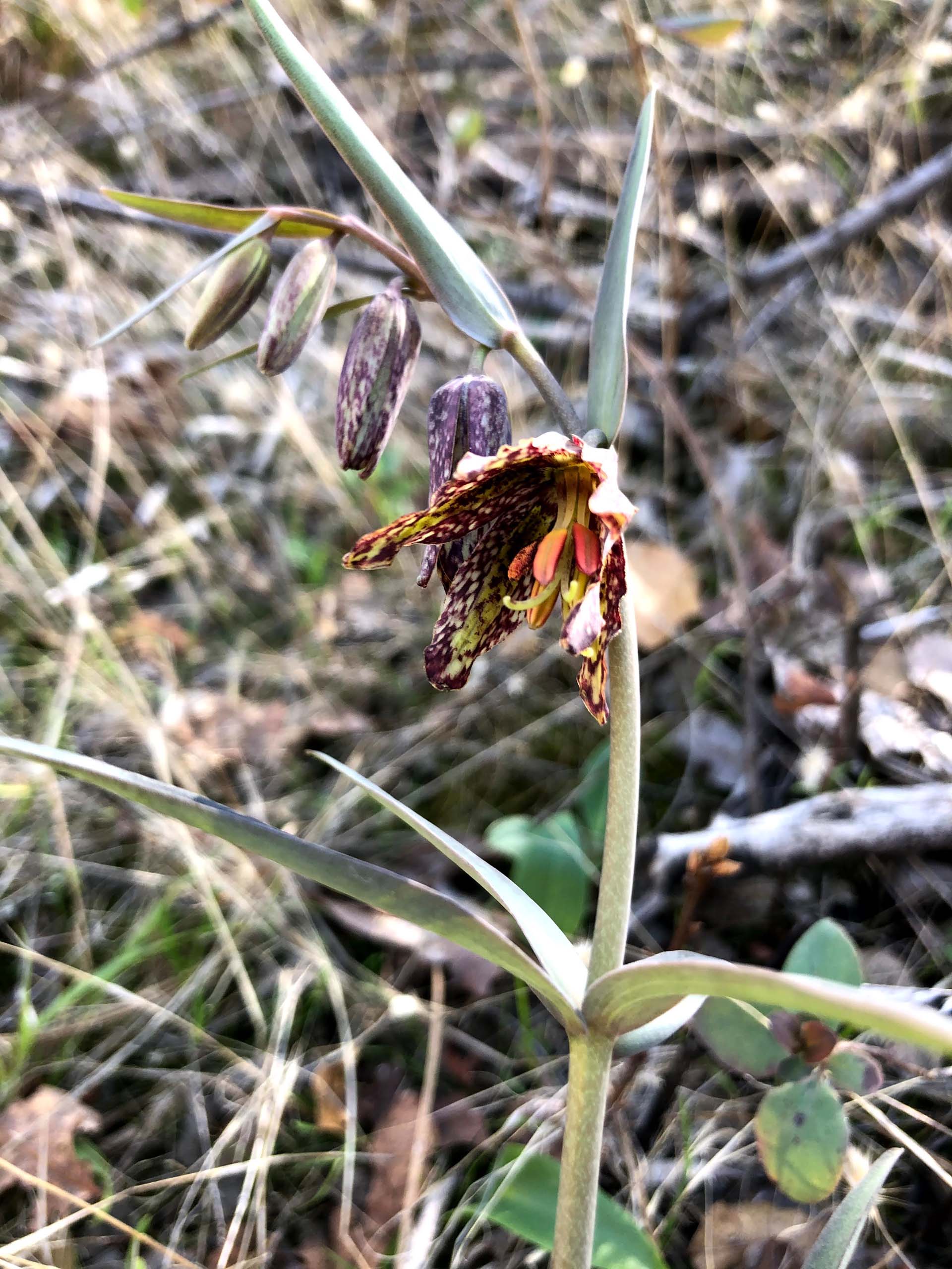
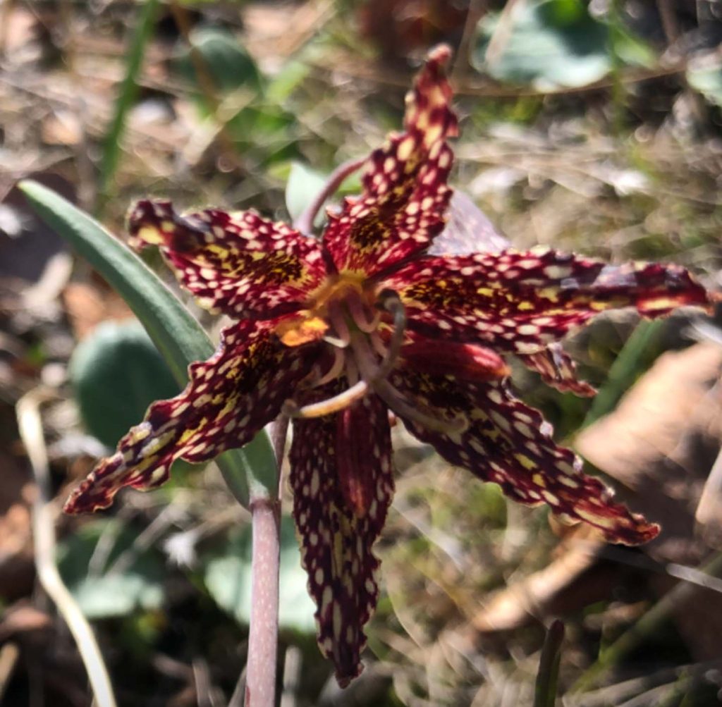
Another 25 yards ahead on the north-facing road cut (left side of the road) look for two dozen or so checkered fritillaries that are just beginning to bloom. They are well camouflaged, but once you spot one of these beauties, the rest will jump out at you!
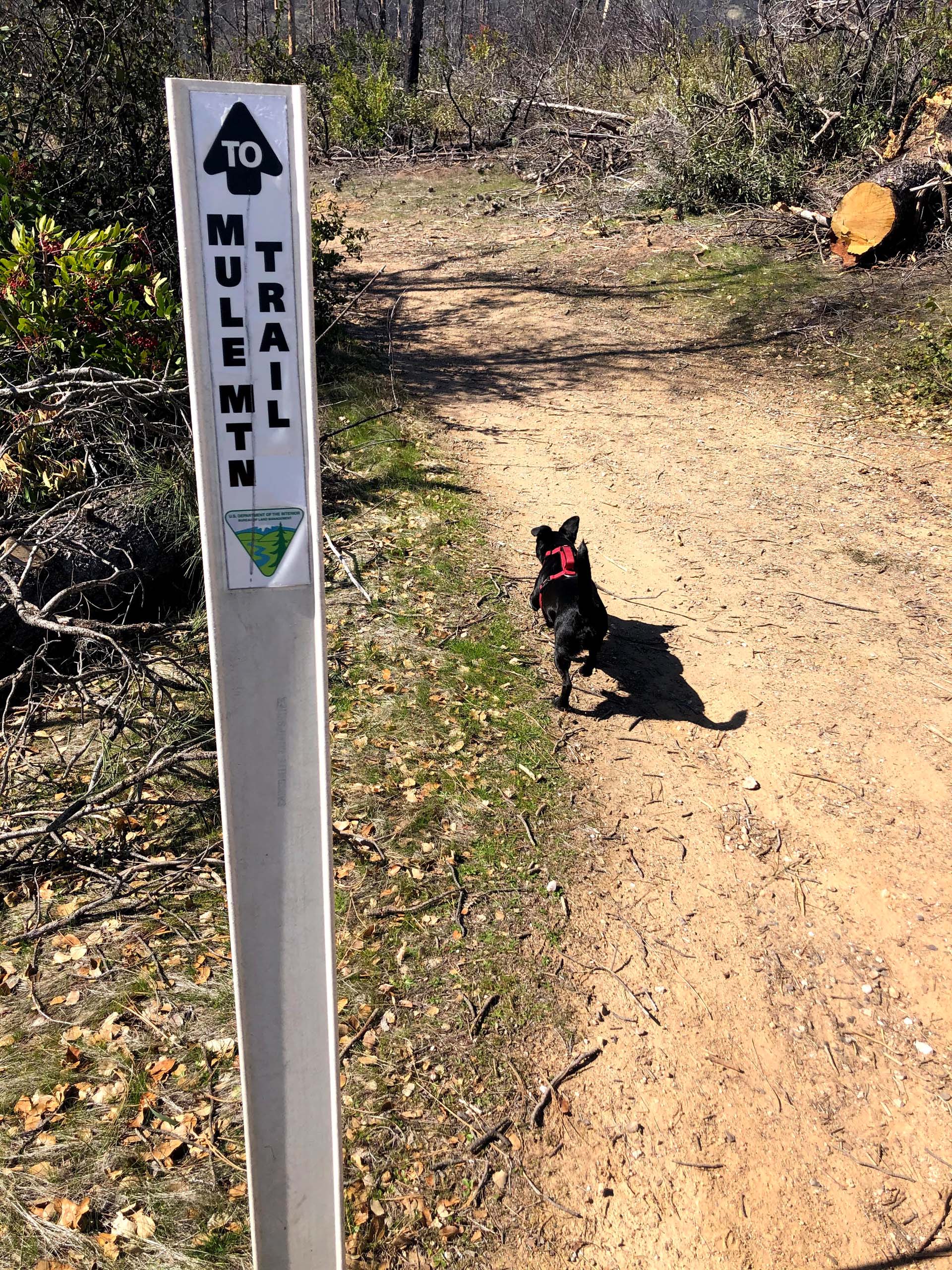
Continue walking the dirt road, which winds up and down over the next 0.7 miles until you arrive at a small creek on your left. Do not cross the creek, but continue straight ahead on the signed Mule Mountain Trail. Walk another 0.2 miles and cross the small creek to begin a rather steep and often rocky trail. This section is known as the Terminator and winds upward for another 1.2 miles before arriving at Mule Mountain Pass.
Here you will find a picnic table and be afforded great views of both Mt. Lassen and Mt. Shasta. Five trails (counting the one you just hiked) intersect at this pass. When you’re rested and hydrated, take the signed trail called the Escalator.
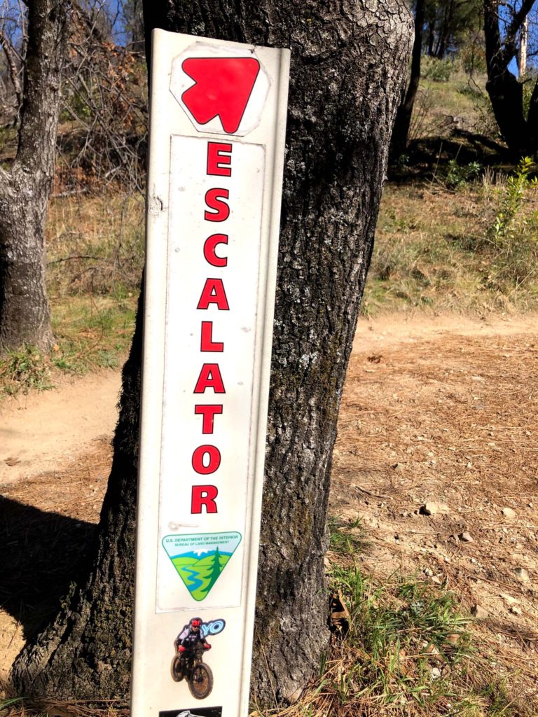
It is an easy, mostly downhill, walk of 2.5 miles before the trail intersects the Meiners Loop Trail. As you walk away from Mule Mountain Pass, be sure to look back occasionally to enjoy nice vistas of Shasta Bally. At the signpost for the Meiners Loop Trail, turn right and walk parallel to Olney Creek for about 0.6 mile to arrive back at the parking lot and complete this loop hike of 5.2 miles.
Driving directions to this loop hike are easy! Heading east on Placer Street, turn right onto Swasey Drive. Proceed 1.1 miles and turn left onto Delano Drive. Continue 0.8 miles on this well maintained dirt road until you come to the parking lot at Luke Sheehy Memorial Fitness Park.
The elevation at the parking lot is 1,100 feet, while the elevation at Mule Mountain Pass is 1,670. Because of the steepness in some trail sections, as well as rocky walking surfaces, I would rate this hike as moderately difficult—but well worth the effort! ~Chris Harvey
Here is a short slideshow of some of the sights Chris and Baxster enjoyed on this hike. All photos by Chris Harvey. Enjoy!

