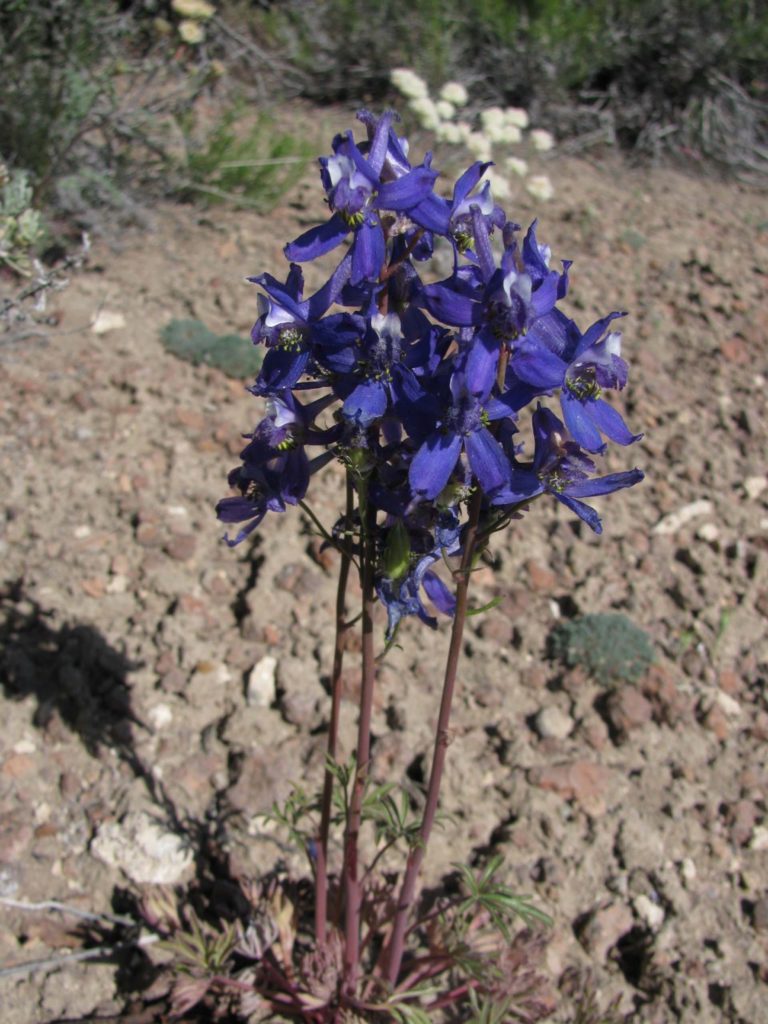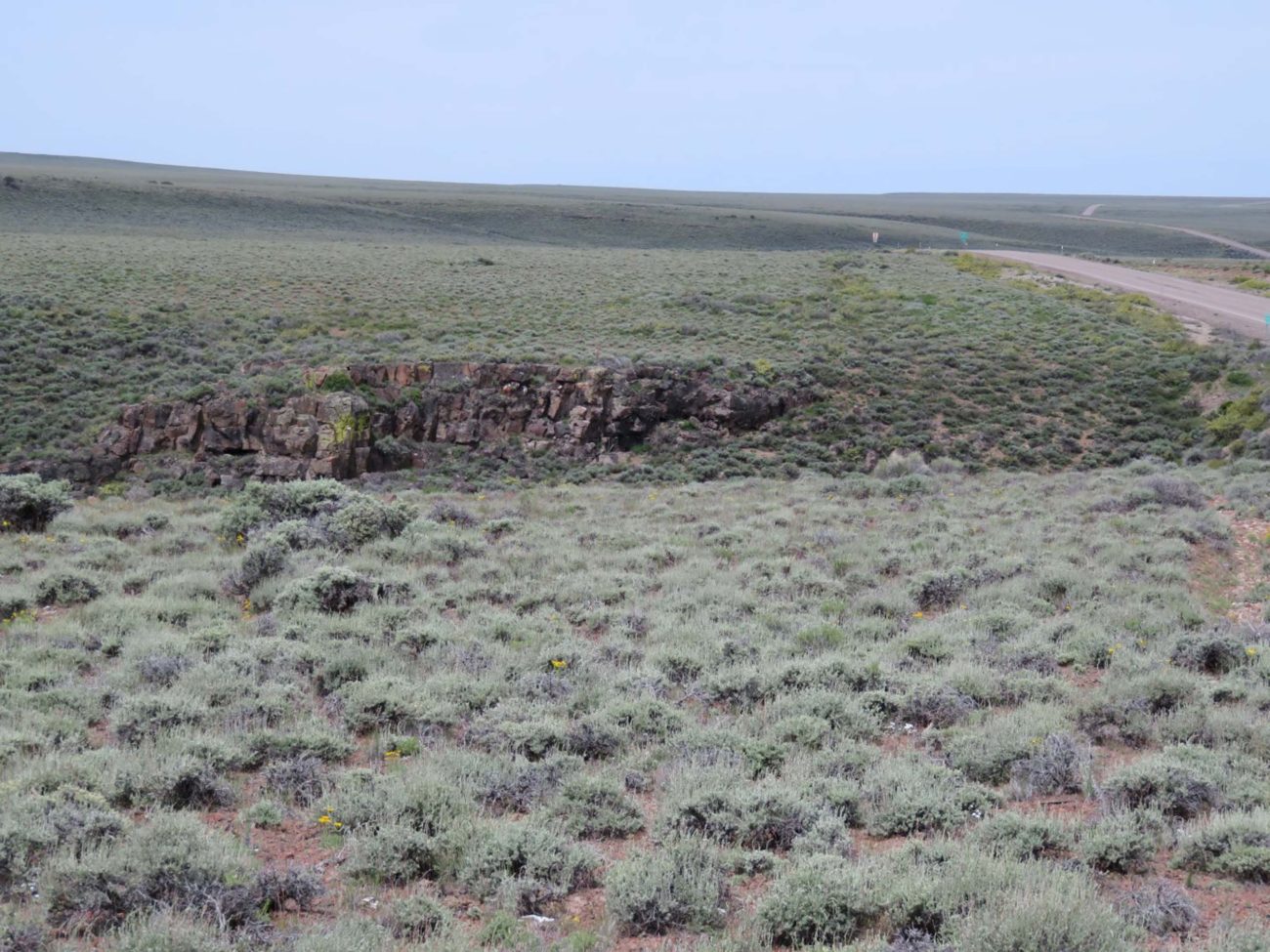
What better way to keep your distance from others during these trying times than to take an adventurous road trip on Nevada’s Loneliest Road in America, during the peak of the spring/summer wildflower bloom.
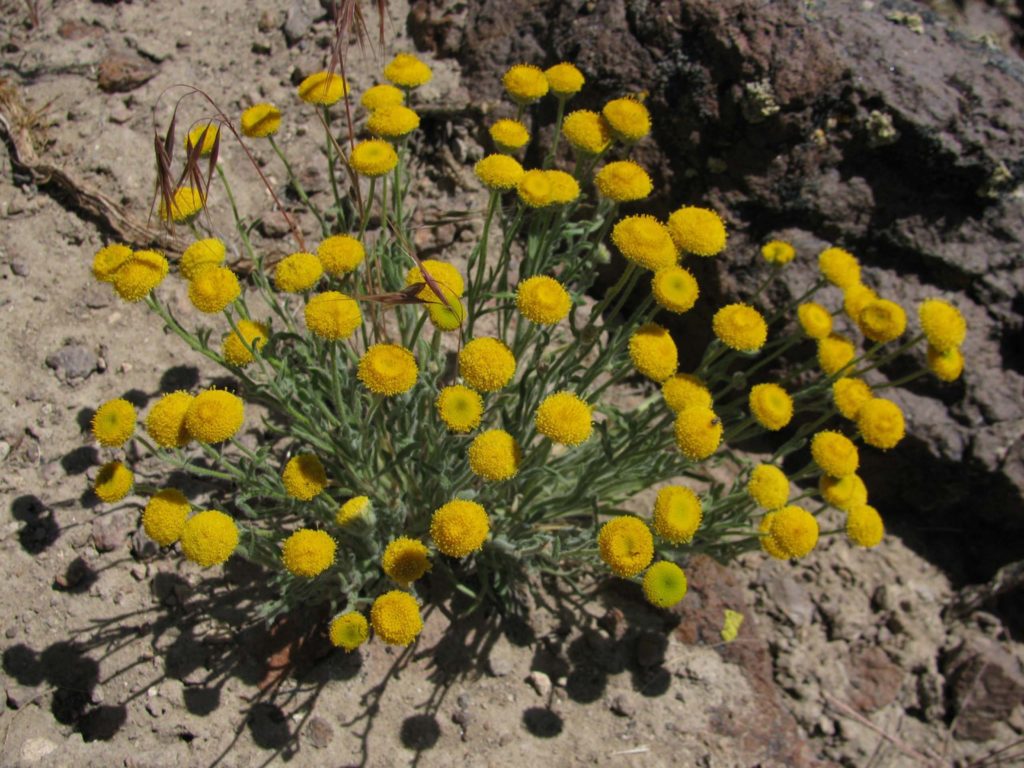
Highway 50, which is in central Nevada east of Reno, is a relatively easy drive from most places in the Shasta Chapter CNPS area. On this drive, your exploration will encounter historic towns, campgrounds, and fantastic vistas to add to your quest for wildflowers.
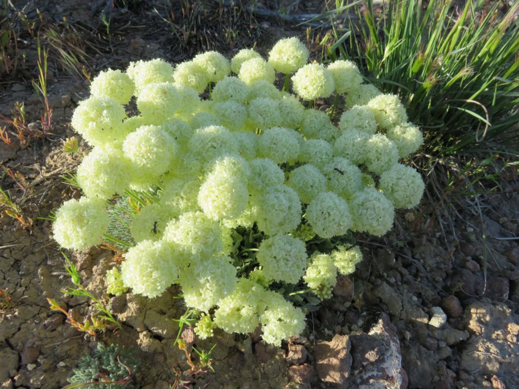
Highway 50 crosses the Great Basin Desert, with vegetation of sagebrush steppe and pinyon/juniper plant communities.
Along the way, you will pass through the historic mining towns of Austin and Eureka, Nevada. Each town is like a step back in time. The highway even crosses the old Pony Express route (1860 to 1861) in several places, with roadside ruins of a large Pony Express station. If you are camping, there are at least two convenient campgrounds adjacent to Highway 50: a National Forest campground just east of Austin, and a free BLM campground about 10 miles east of Austin called the Hickison Petroglyph Recreation Area.
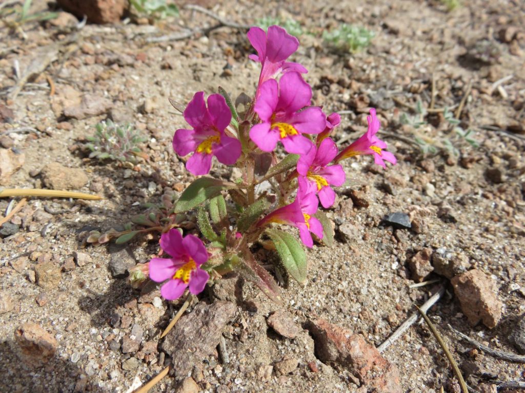
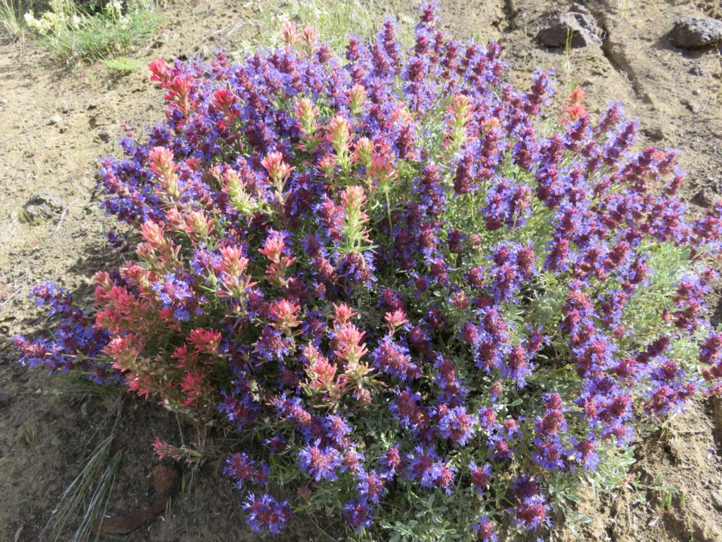
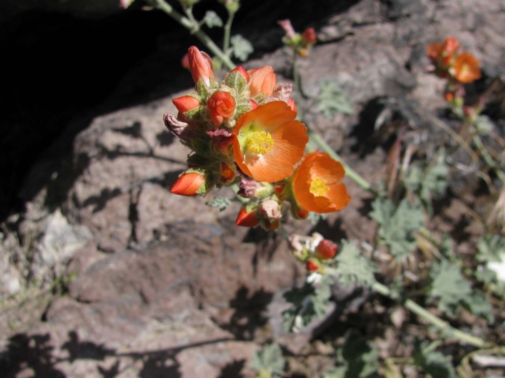
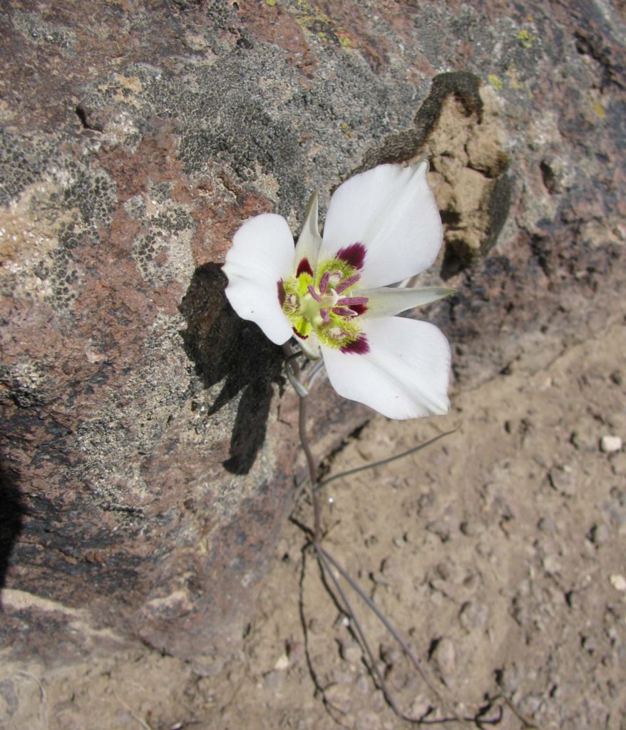
Late May to late June is the best time to find a nice display of wildflowers. Penstemons, buckwheats, asters and daisies, phlox, paintbrush, monkeyflower, globe mallows, lilies, onions, and evening primrose are some of the palette of floral colors that can be seen.
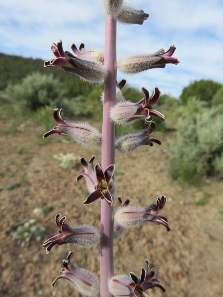
The dominant woody plants in this area are sagebrush (Artemisia tridentata), bitterbrush (Purshia tridentata), and single-leaf pinyon (Pinus monophylla). Remember to check out the prehistoric Indian rock art at Hickison campground, and watch for a variety of reptiles and birds.
Keep a full tank of gasoline since distances are quite long between towns. A handy flower guide book is Sagebrush Country: A Wildflower Sanctuary by Ronald J. Taylor (1992). As you roam through the sagebrush absorbing the wonderful sights, fragrances, and sounds, world troubles will seem so far away. -Jay Thesken
