
Photo taken January 26, 2025, by Don Burk.
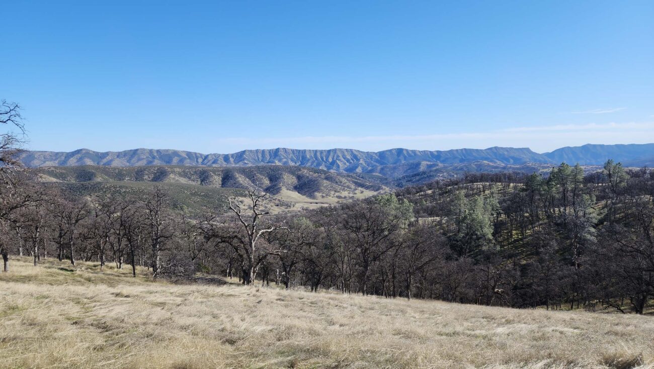
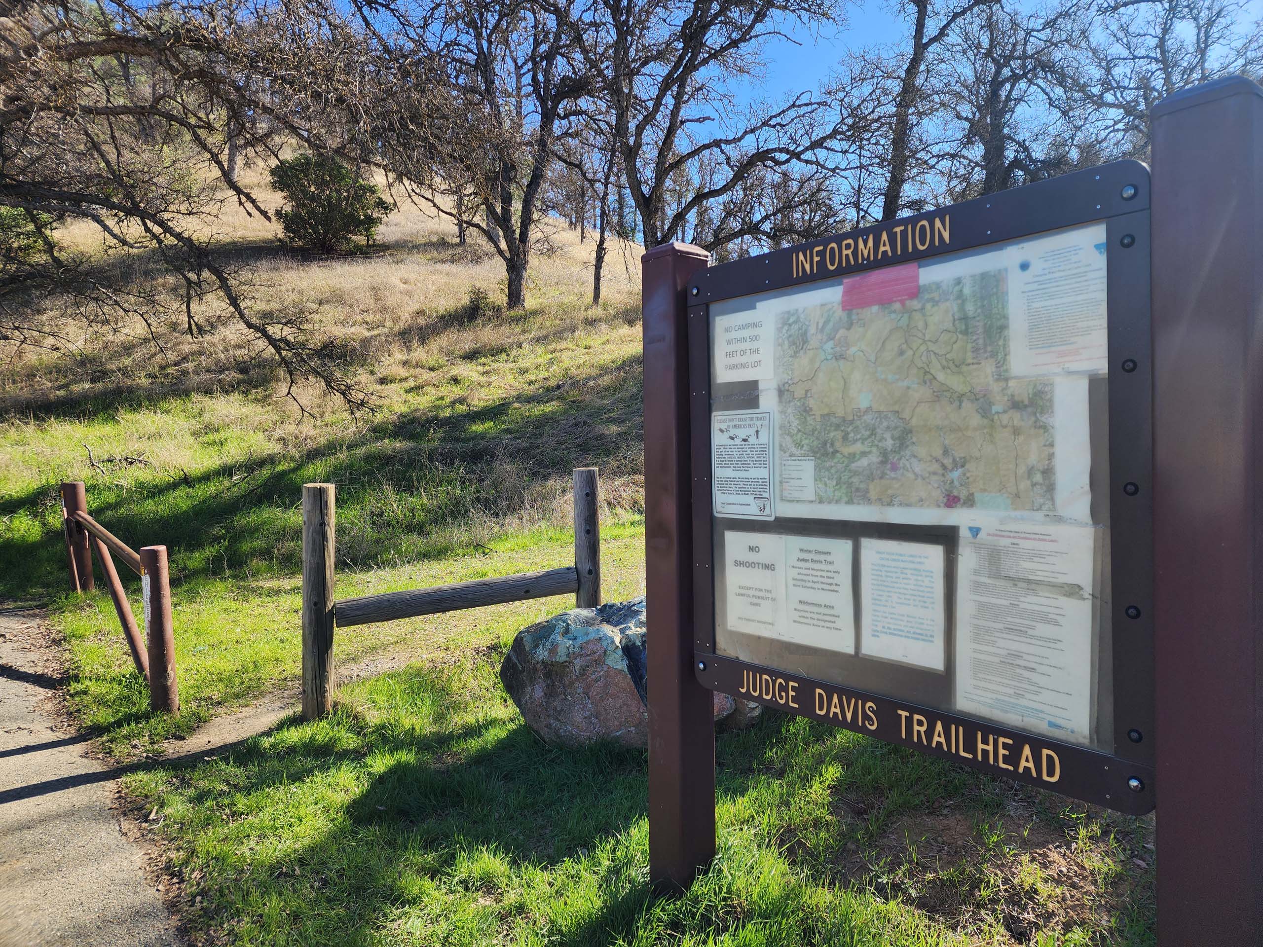
Whenever we get down to the Clear Lake area (which isn’t nearly often enough!), we like to take some time out to explore the Cache Creek Wilderness and adjoining protected lands. The area feels so much like home, yet with intriguing differences in plant life and scenic vistas. On a recent return-trip from the coast, we made a last-minute decision to hike the Judge Davis Trail. The trailhead was easy to find—well-marked, right off Highway 20, about 3.8 miles west of its intersection with Highway 16—and had plenty of parking and even a clean pit toilet! But there are two (unmarked) trails that leave the parking area and we took the wrong one! So, instead of an out-and-back hike on Judge Davis Trail, we had a lollipop hike on the Ridge Spur Loop via Cache Creek Ridge.
The trail begins gently, then climbs somewhat steeply up through the Cache Creek Wilderness Area to the Cache Creek Ridge, where one is treated to expansive views of blue oak woodlands, chaparral, and nearby ridgelines. After about a mile on the ridgeline, the trail forks. We went clockwise, entering the Cache Creek Natural Area, and descended rather steeply down to a very pleasant valley with greatly appreciated gentle grades. The trail intersected a maze of other trails at the Roadkill Cafe, which we had explored on a previous outing via Lynch Canyon Trail. We then continued our clockwise loop, ascending for two miles up the not-too-steep Ridge Spur Trail back to the fork on top of the ridge. We then retraced our steps along Cache Creek Ridge and descended back to the trailhead.
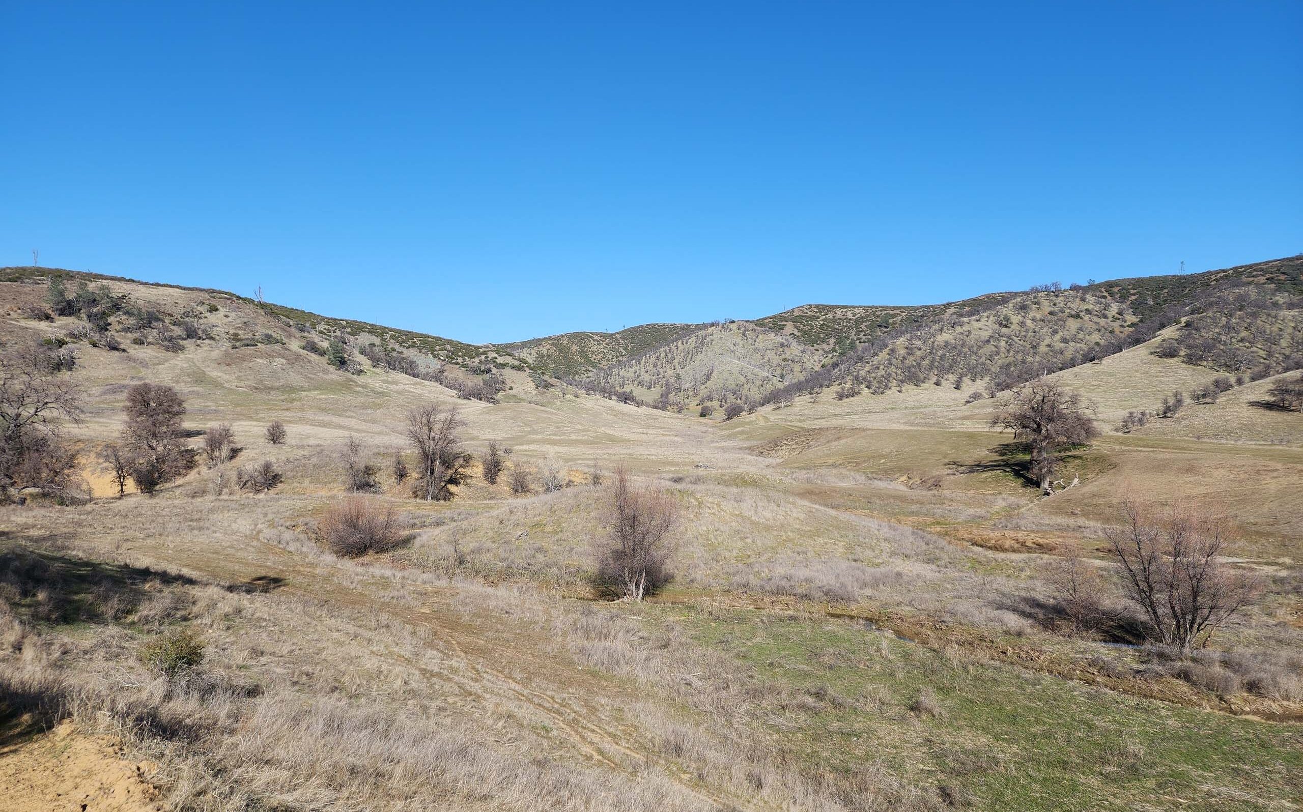
Photo taken January 26, 2025, by Don Burk.
During our 7.2-mile loop hike (elevation gain of 1,420 feet), we saw only one other party, a group of three horse riders. Unfortunately, wildflower sightings were even slimmer! Although a number of common manzanitas were in bloom, we saw only one other species in flower—a small cluster of shining pepper-grass less than an inch tall. Of course, it was very early in the season and on a particularly cold and breezy day . . . So far, we have only visited the area in the late fall or mid-winter. Although we haven’t yet seen the spring blooms, there is plenty of vegetative evidence that a spring hike would be magnificent! We’ll be back! ~Don Burk
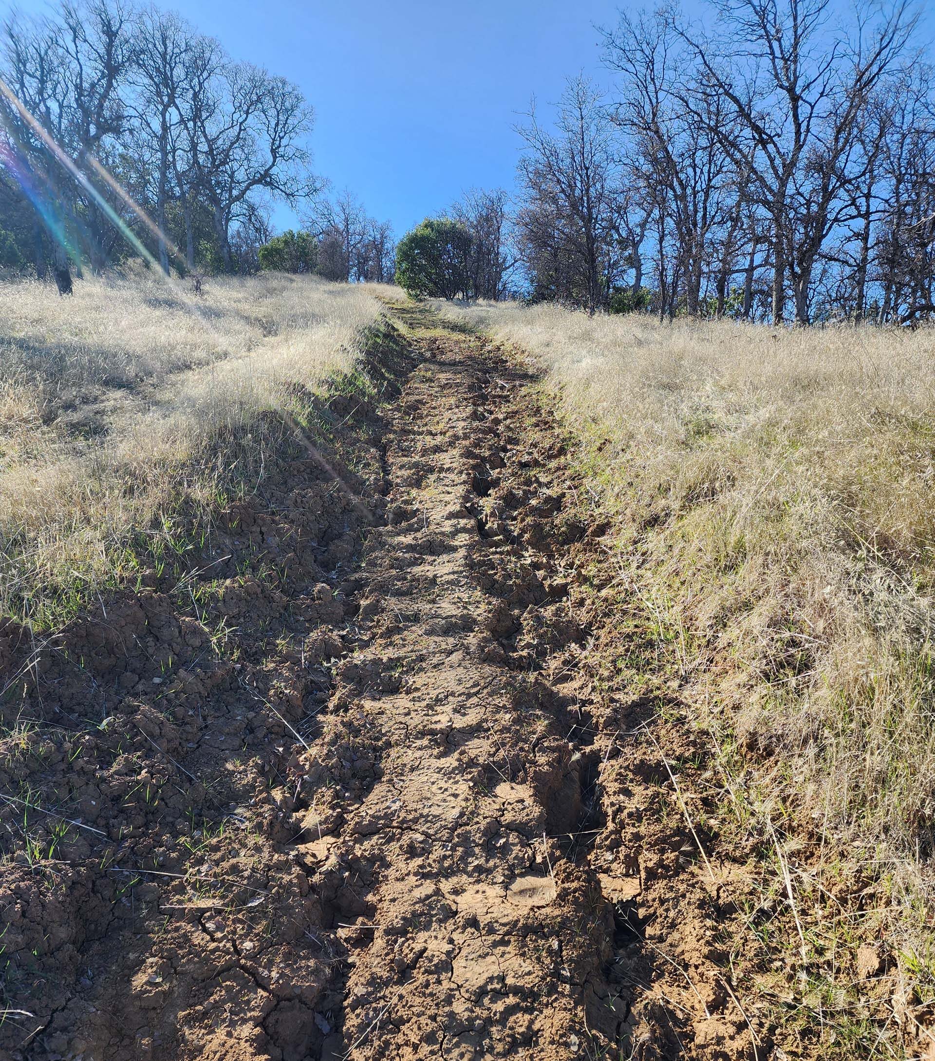
Photo taken January 26, 2025, by Don Burk.