
Bureau of Land Management’s Cache Creek Natural Area lies halfway between Williams and Clearlake. It consists of over 70,000 acres of conserved land, which includes the 27,000-acre Cache Creek Wilderness. Adjacent lands, managed by various agencies, add another several thousand acres of protected lands, all of which are open to the public.
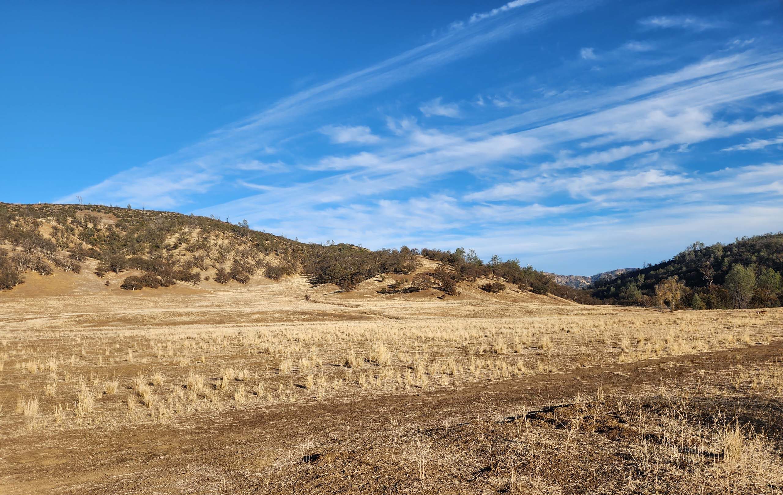
We spent a couple of lovely autumn days checking out two trails in the greater Cache Creek Natural Area: Lynch Canyon Trail and Cache Creek Ridge Trail. Overall, the area is quite reminiscent of Sacramento River Bend Recreation Area in Tehama County, only hillier and a bit more botanically diverse.
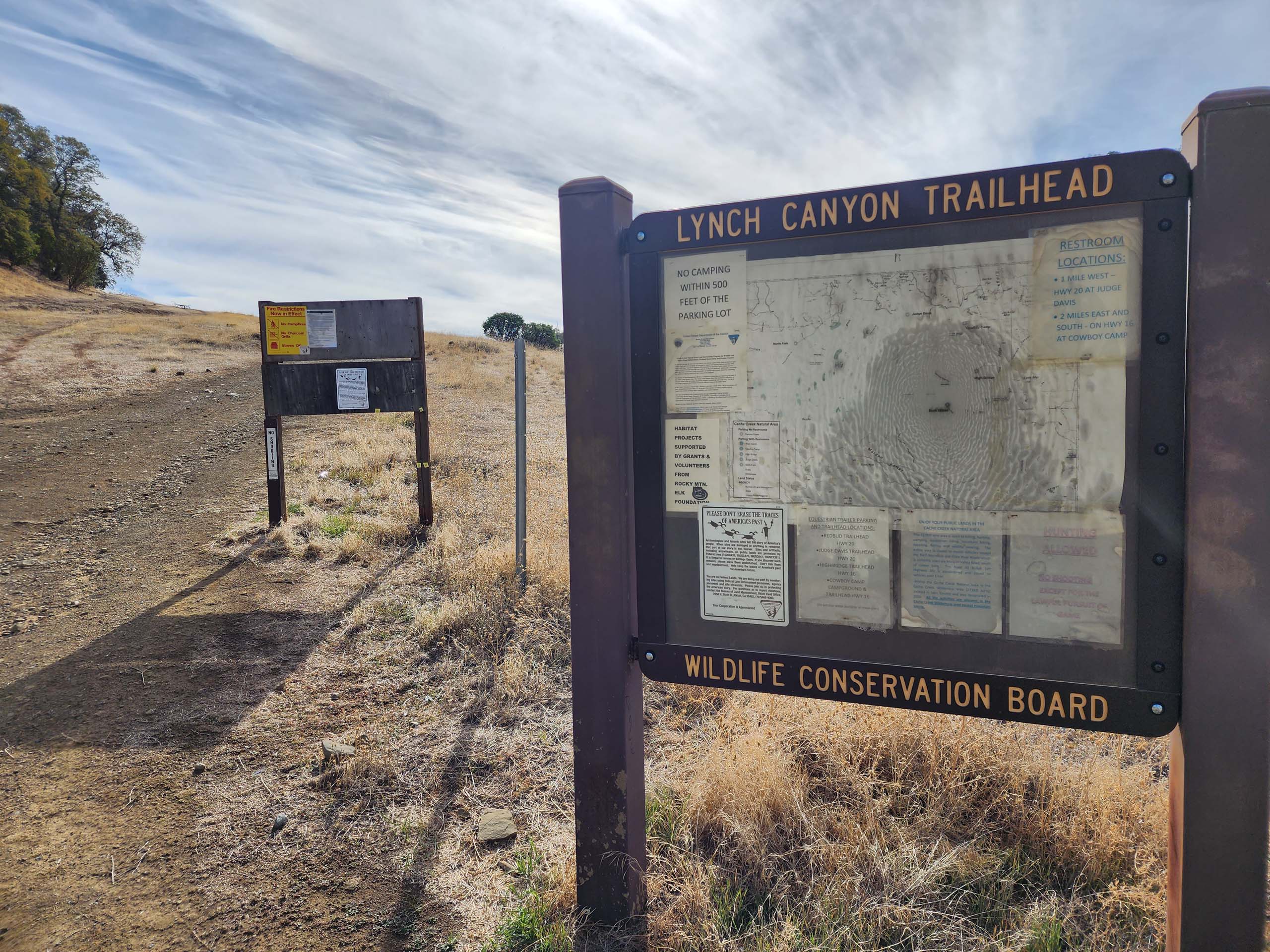
Driving west out of Williams on Highway 20, Lynch Canyon Trailhead is the first trailhead one comes to in the natural area, about 20 miles out of Williams. It’s not much of a trailhead. Despite the underwhelming introduction, off we went for what turned out to be a very enjoyable ~7-mile hike.
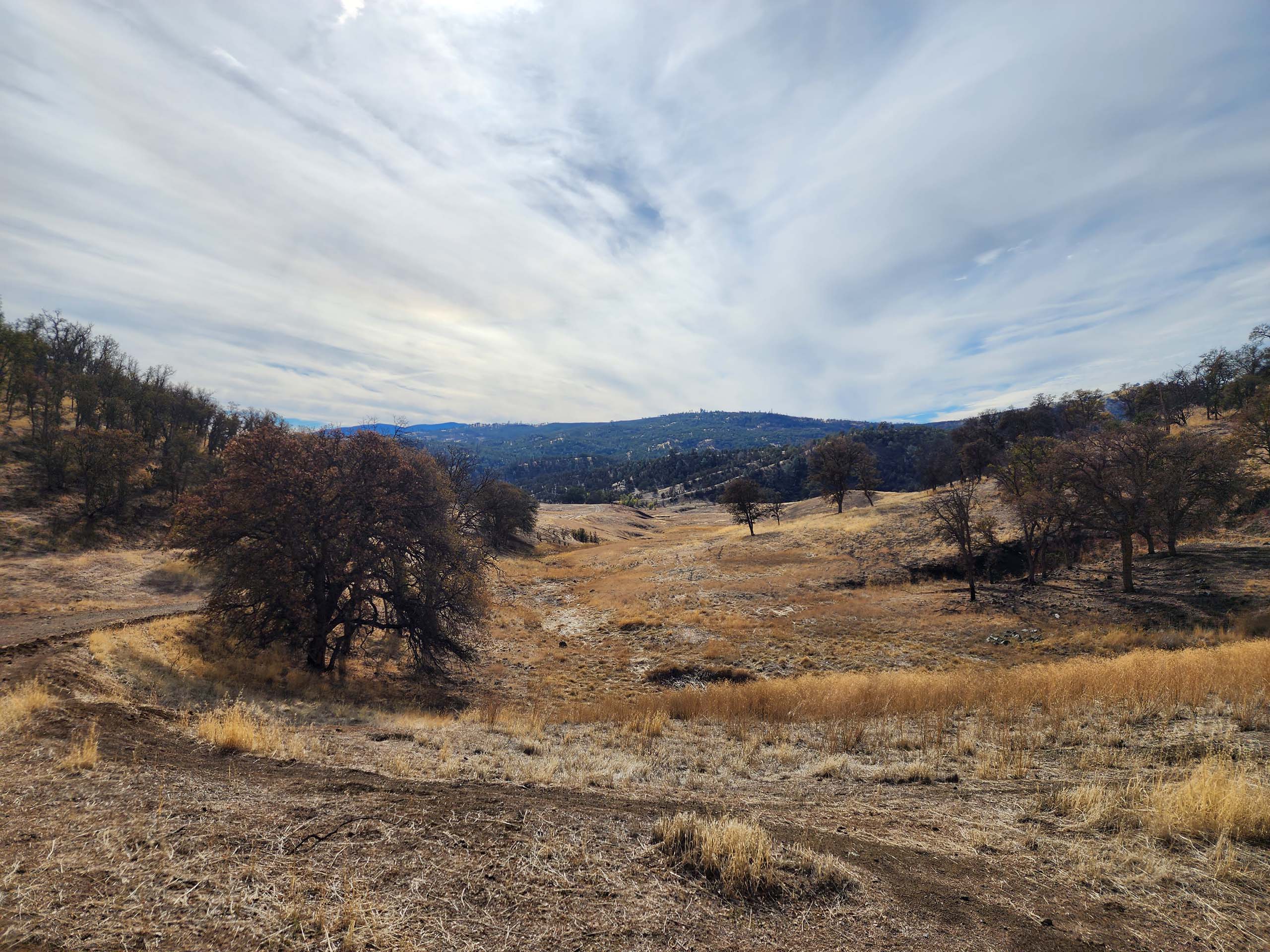
The first ~1.3 miles follow an old roadbed that goes through wooded hills and open grasslands down to a trail junction at some dilapidated structures on the bank of a tributary to Bear Creek. One of the structures is said to be an old hunting hut, dubbed Roadkill Cafe, that offered an eclectic menu of roadkill ala mode. Another structure seems to be where land managers stowed materials for restoration. None of this is in good shape, but seems to be a bit of a destination with locals. It was just about the only place we saw people; there were at least a dozen people there and at the creek, including kids and dogs.
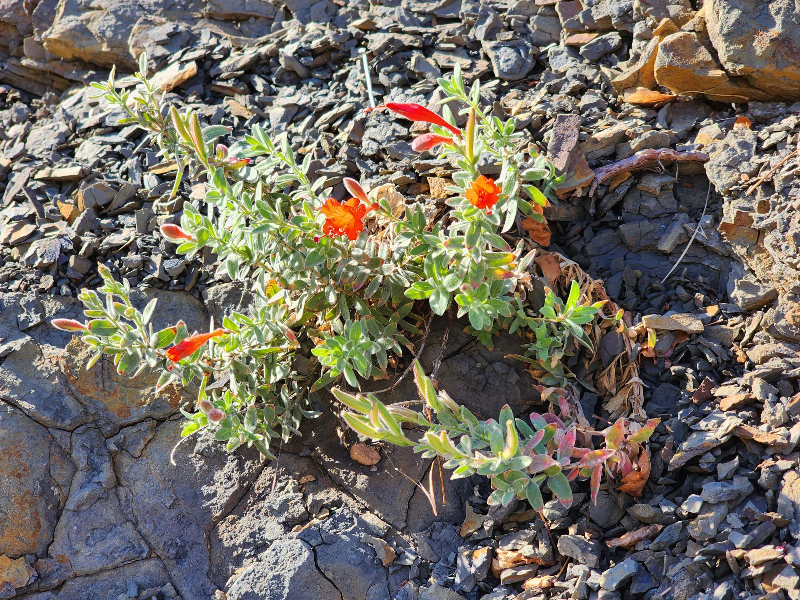
From here we took a trail that followed the tributary downstream. (Probably a continuation of Lynch Canyon Trail. Well-marked maps are few and far between!) Moderately maintained, this section of the trail was sometimes washed out so that we had to hike in the dry creekbed, but it was easy to find the other end of the washed-out sections. Here the plant diversity was noticeably greater. We did not expect to find too much in bloom in the fall, but still counted seven species flowering, including coyotebrush and lessingia.
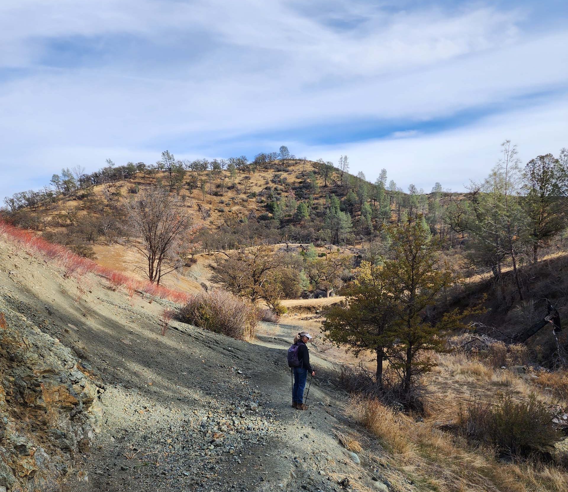
We eventually came to another trail called Thompson Canyon Trail (but hand-signed as Buck’s Trail), which led steeply up, out of the canyon onto the ridgetop. This trail appeared to be machine made. It went straight up the hillside, without consideration for grade. (We did notice that the soils in this area are highly erosive, and the steep sections of this trail as well as the old-road trail were indeed deeply eroded in several places, which is not good for the environment.) Thompson Canyon Trail looped back to join up again with Lynch Canyon Trail near the old structures, traversing mostly wooded ridgetop that afforded occasional views of surrounding hills and valleys.
The following day, we took Cache Creek Ridge Trail from a trailhead even less developed than Lynch Canyon Trailhead. This trailhead is not much more than a road spur off of Highway 16, ~7 miles south of its junction with Highway 20, where Bear Creek flows into Cache Creek.
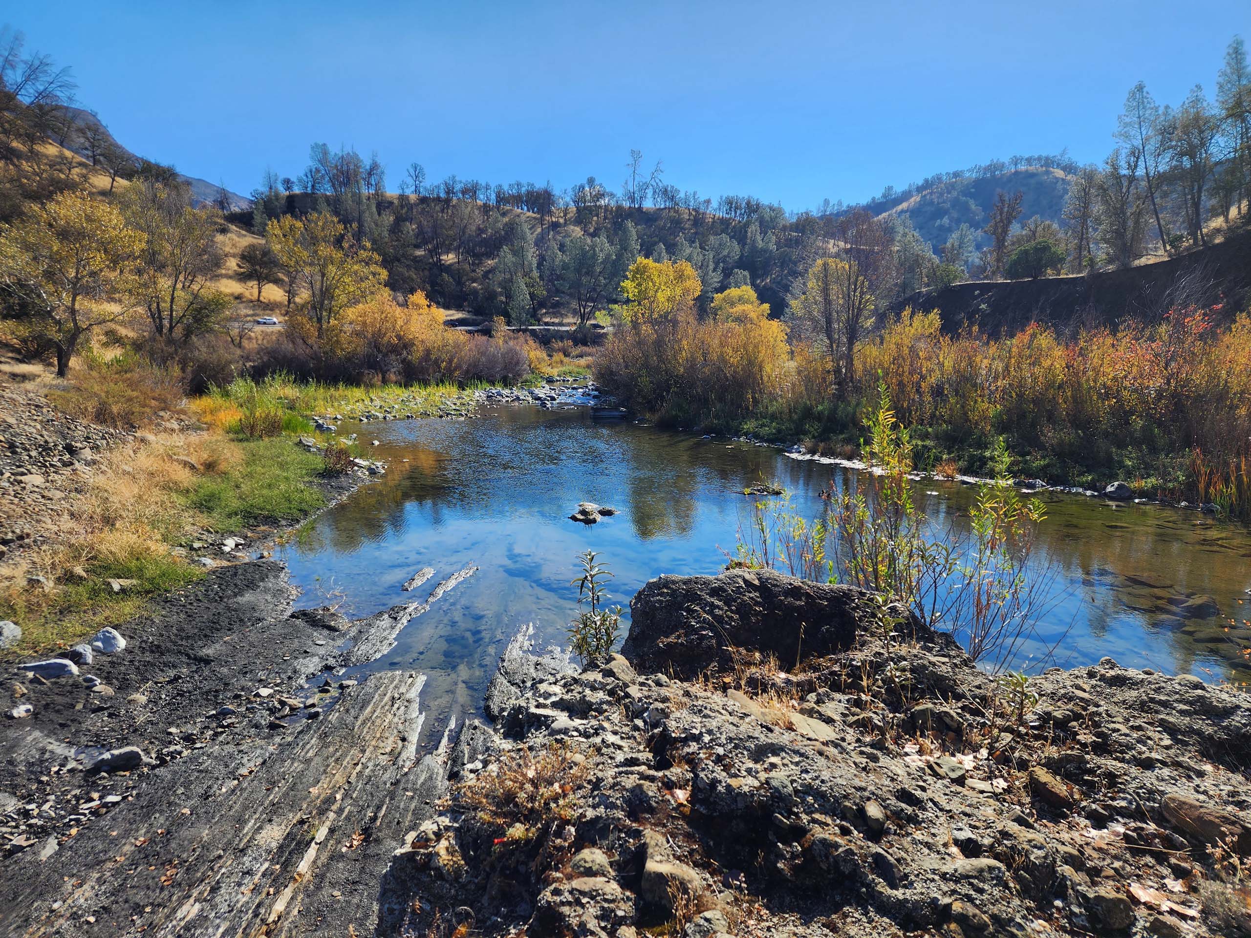
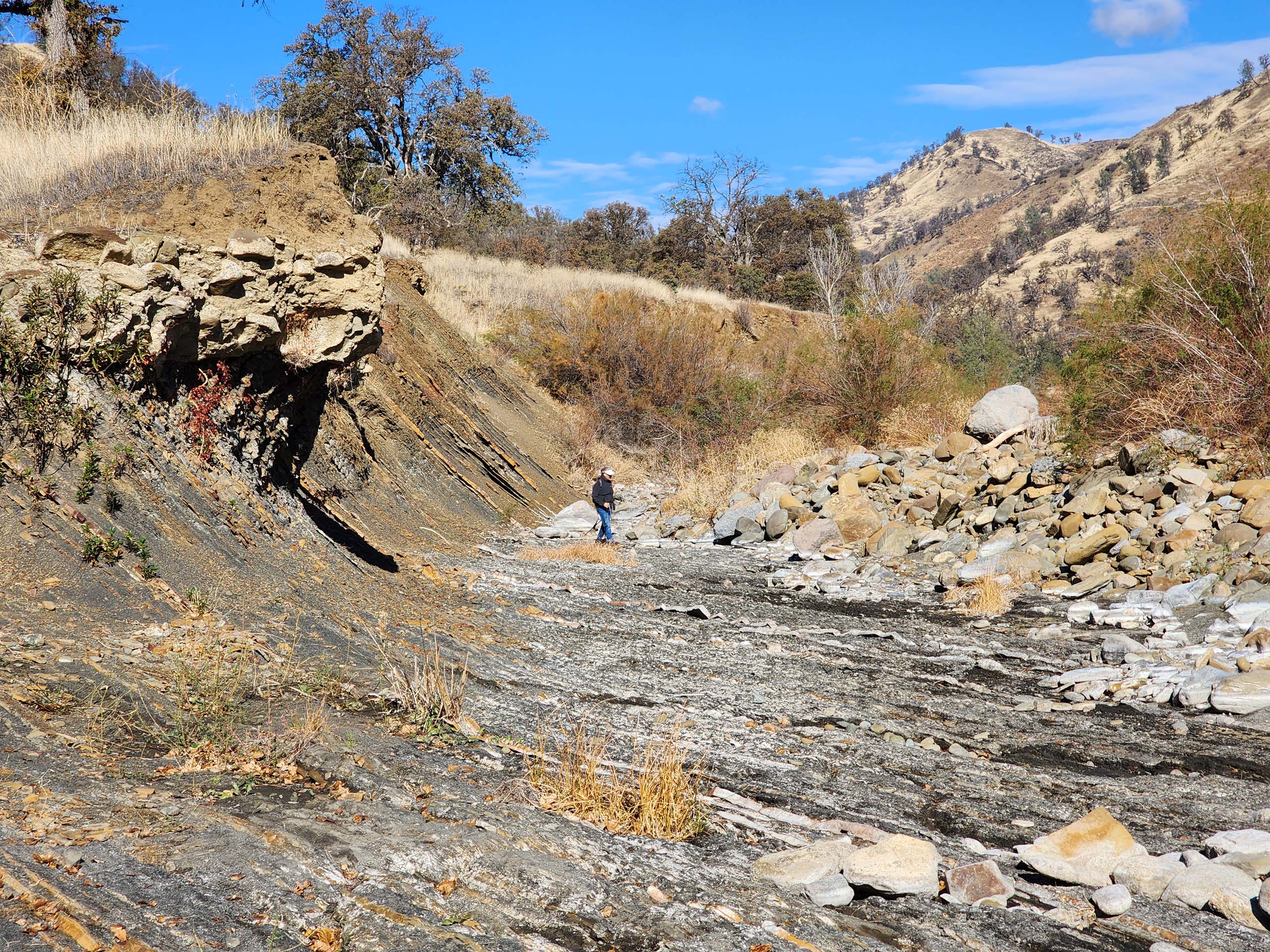
Photo by Don Burk.
Cache Creek Ridge Trail is 9.5 miles long, mostly running along a ridgetop from Highway 16 to the Judge Davis Trailhead on Highway 20. (Judge Davis Trailhead is a developed trailhead with ample parking and toilets, about 1.5 miles west of Lynch Canyon Trailhead.) The trail also more or less demarks a section of the Cache Creek Wilderness boundary, as well as the boundary between Colusa and Lake counties
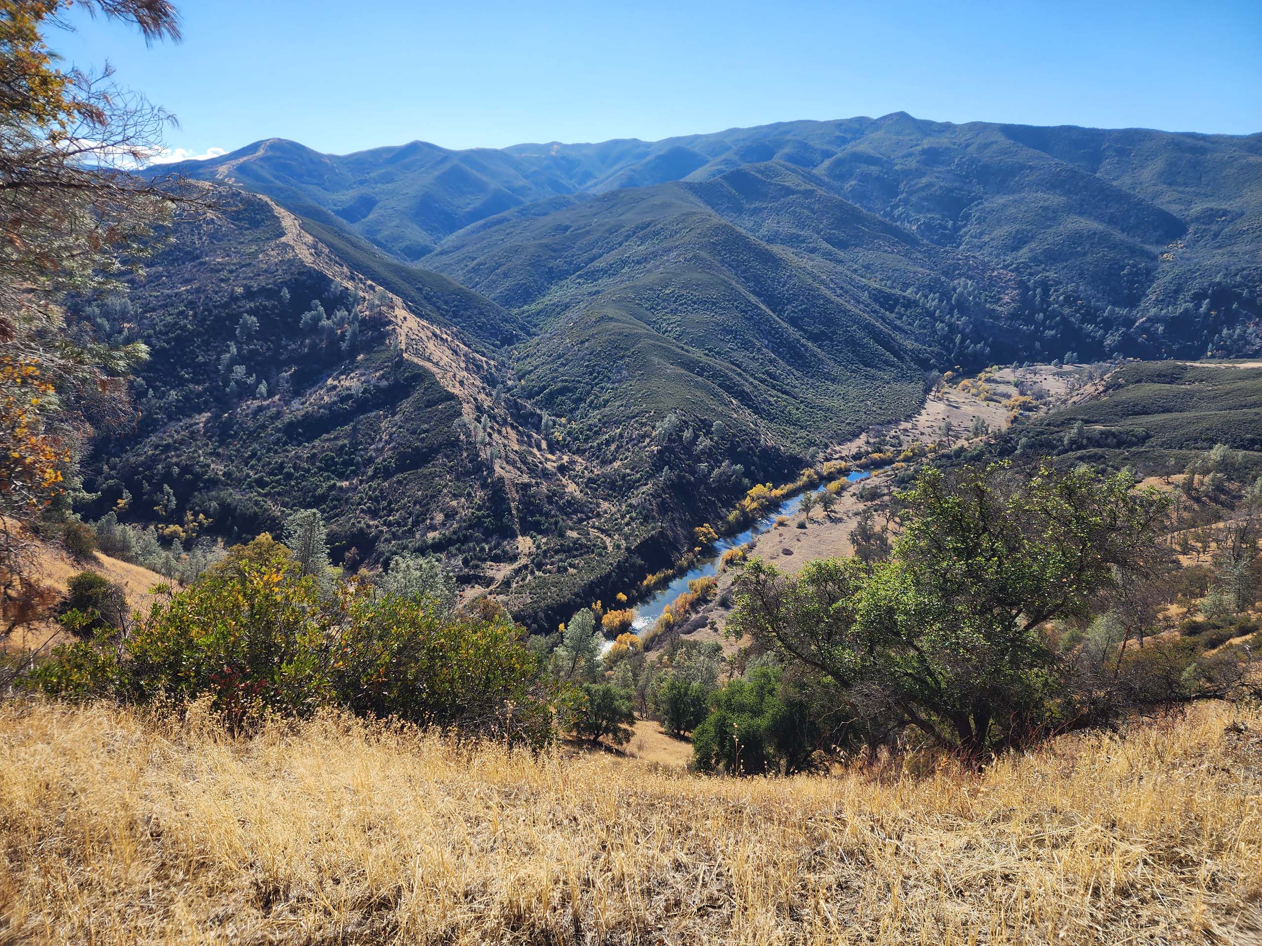
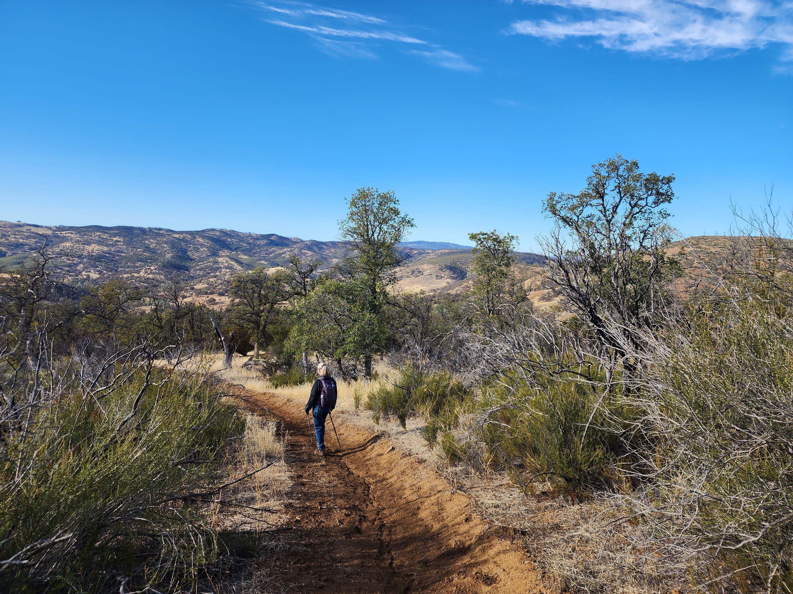
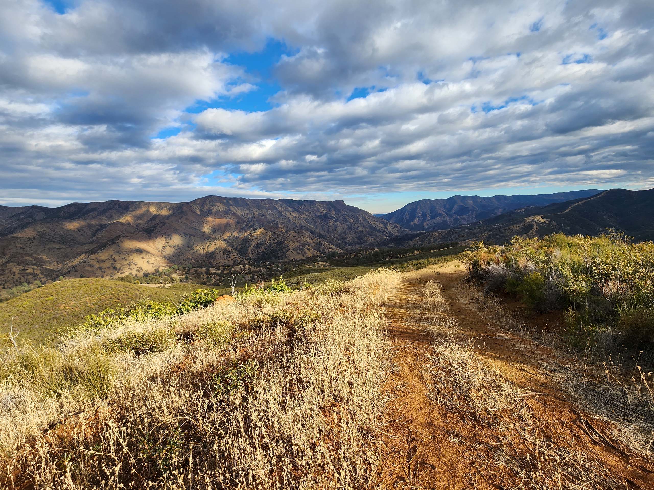
We did an out-and-back hike of the southern half of Cache Creek Ridge Trail, which is the half that generally parallels Cache Creek. The views were gorgeous! But we had to work for them—there are many steep sections, and the ridgetop is anything but flat. It is not an easy hike; the elevation gain is ~1,500 feet over 2 miles.
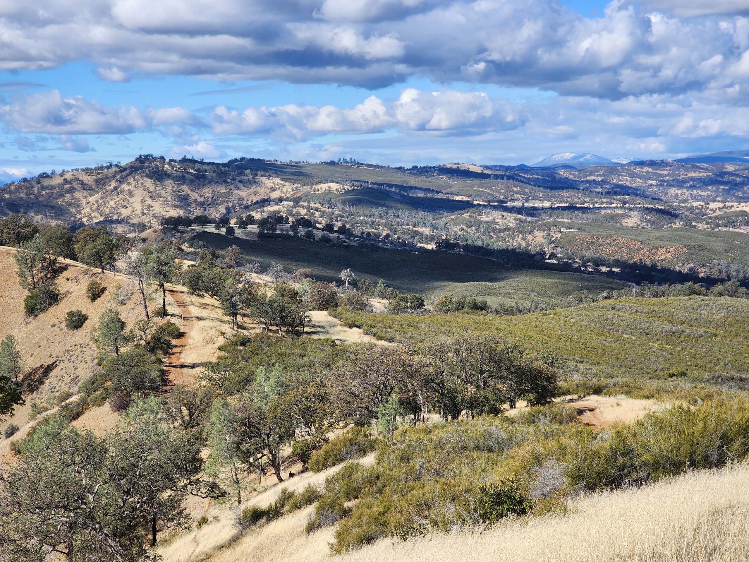
The trail appears to be an old road for its entirety. We wondered if it wasn’t meant to do double duty as a fire break. While there was little diversity to be seen at this time of the year, we expect that spring will be much more botanically interesting. What was impressive, however, was the extent of chamise chaparral that we could see from the top. We were also impressed by the amount of scat and footprint evidence of a variety of wildlife. We were able to identify elk, deer, rabbit, coyote, bobcat (or mountain lion), squirrel, lizard, and many birds.
The greater Cache Creek Natural Area includes numerous trailheads that access many miles of interconnecting trails, providing ample loop and staged-car options. We sampled only three trails and are intrigued enough to go back—in the spring, when the wildflowers are blooming. And next time, we’ll bring a map!
~Laurie & Don Burk