Chico Hiking Association has the section of the Pacific Crest Trail (PCT) between Humboldt Summit and Cold Springs trailheads pegged as a nice one-way, 6.8-mile (we measure ~6.2 miles) shuttled hike. Without a doubt, the two trailheads are so close together (only ~9.5 miles on good gravel roads) that shuttling between them is a very viable option.
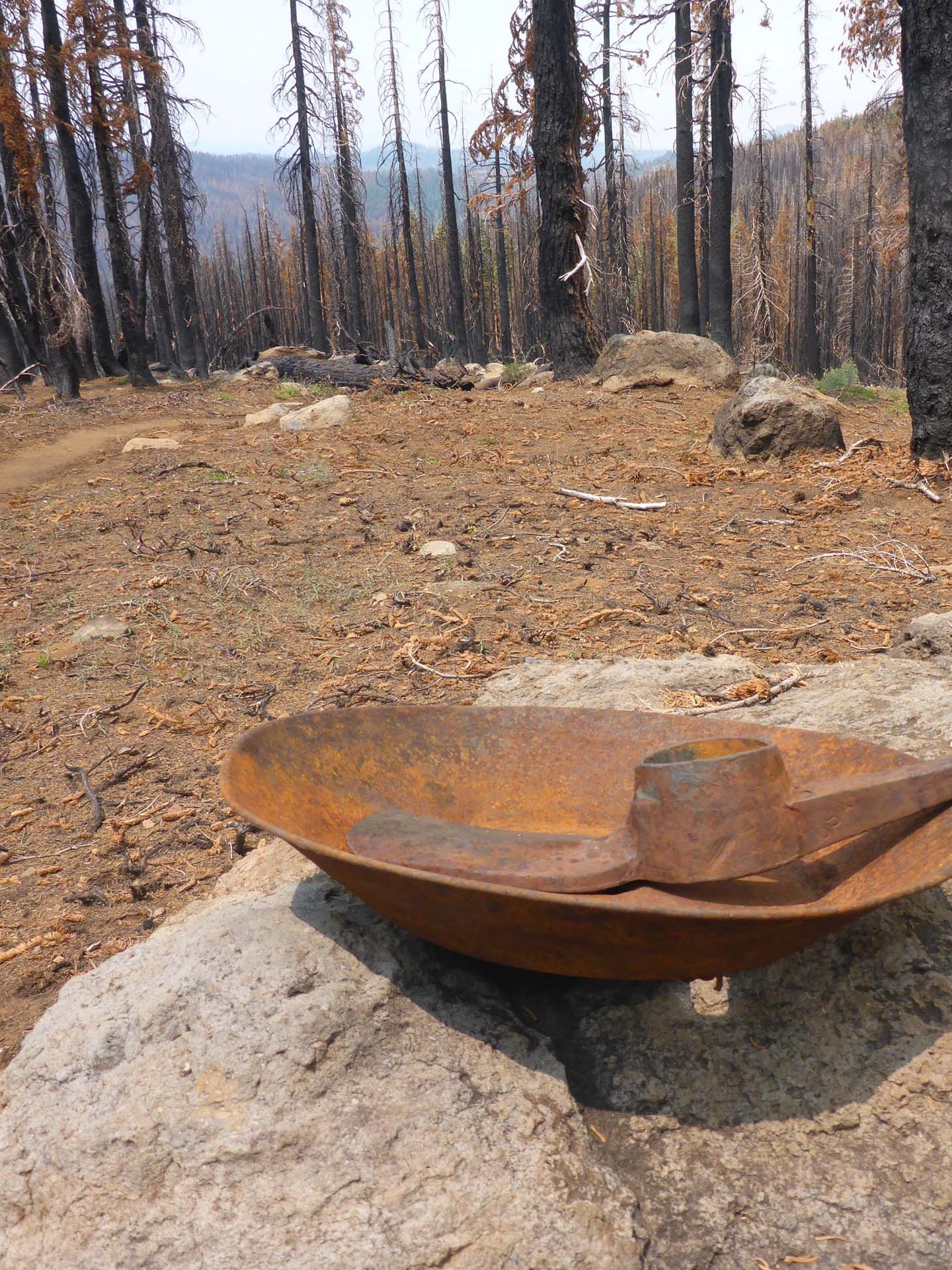
However, Chico Hiking Association’s write-up predates the 2021 Dixie Fire, which severely burned at least half of the forested part of this section of PCT. So unless you are as interested in witnessing the aftermath of wildfire as we are, you might be better off taking out-and-back hikes from either trailhead.
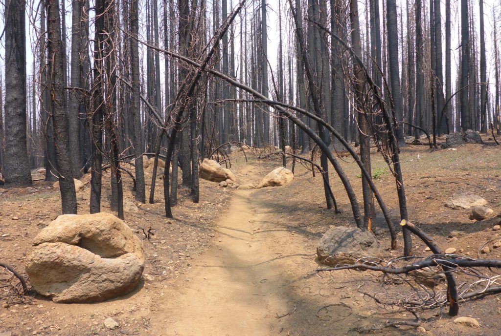
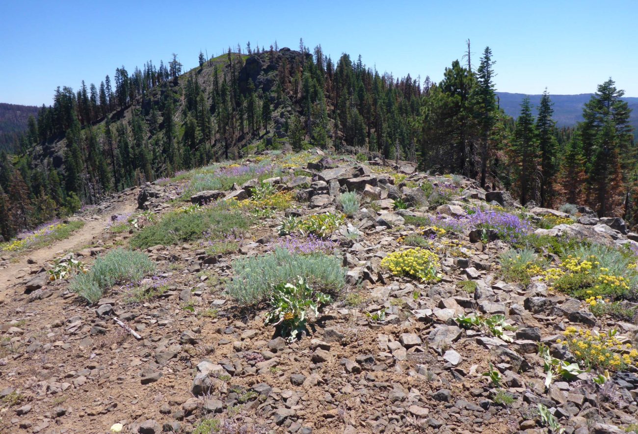
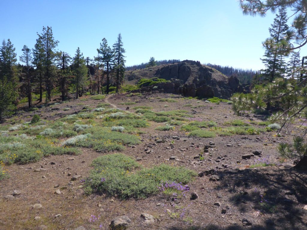
From Humboldt Summit Trailhead (see Humboldt Summit to Little Cub Spring, July 10, 2022, for directions), the first mile of PCT going south runs through Dixie Fire-burned forest. At the one-mile mark, the trail emerges from the forest onto an open ridge. There you’ll find a side trail to the top of Humboldt Peak. (We passed on this option, but it is only 0.5 miles to the top.) From there, the next mile or so of trail runs along an open, exposed ridgetop and through cool rock formations. Lots of “rock garden” denizens are blooming like crazy up there right now. Views include Mt. Lassen to the north and Lake Almanor to the east. Continuing south, the trail runs back into green forest, but this is soon replaced by mostly burned landscape for the next three to four miles. For the botany and the views, we recommend hiking the first two-plus miles of PCT, as an out-and-back hike, south of Humboldt Summit Trailhead.
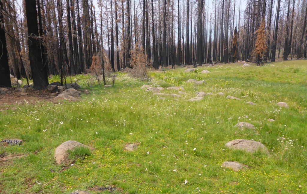
To get to Cold Springs Trailhead, follow the directions to get to Humboldt Summit Trailhead (see link above), only go right when you get to the fork at the end of paved Humboldt Road. The signed trailhead is ~6 miles from the fork: it’s an obvious, large pullout on the left. The PCT crosses the gravel road ~100 yards farther along, and the area of greatest botanical interest is the lush wet meadow right there at the head of Cold Springs. One could easily while away several hours at this enchanting spot. It would make a lovely picnic destination.
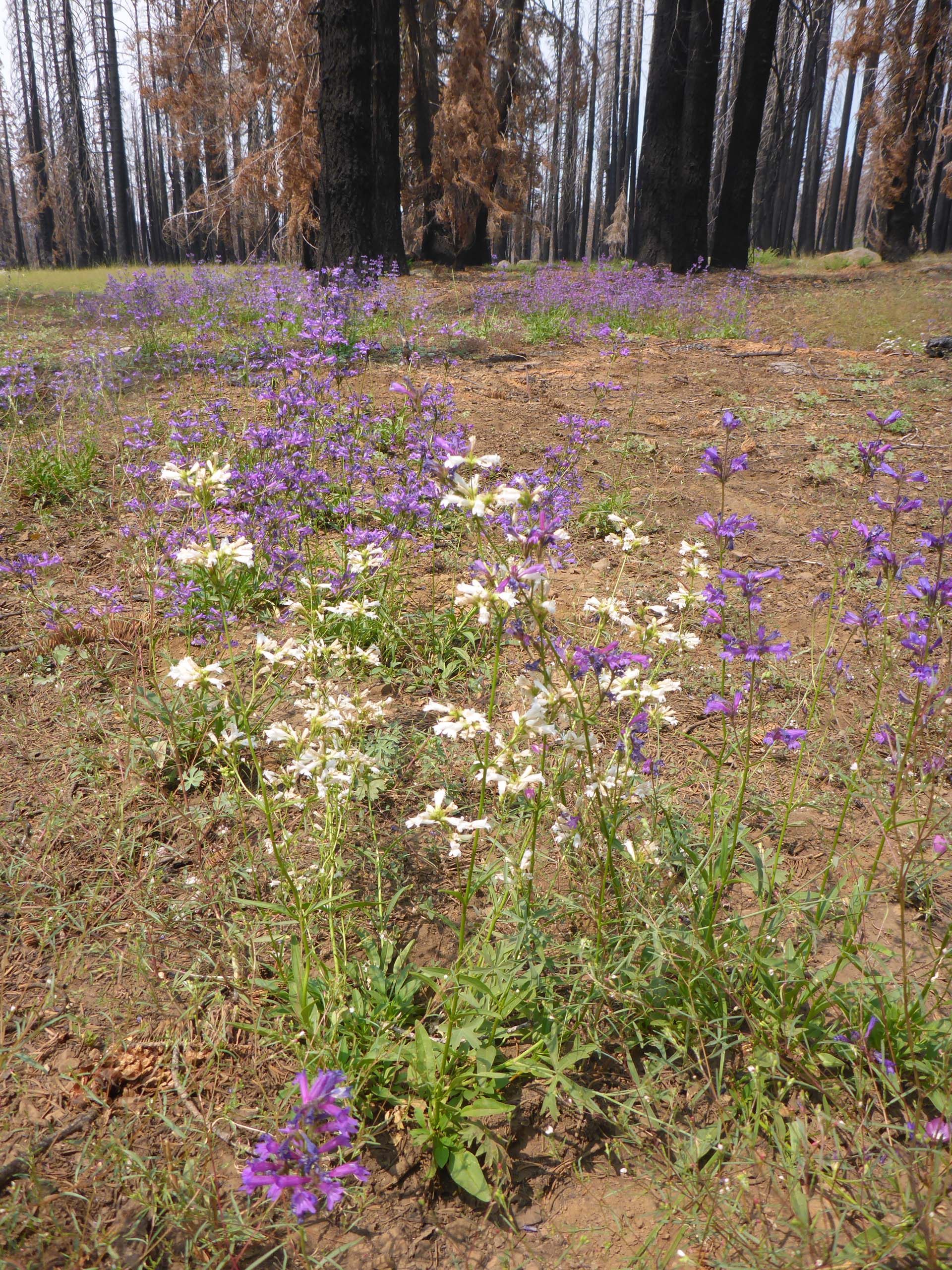
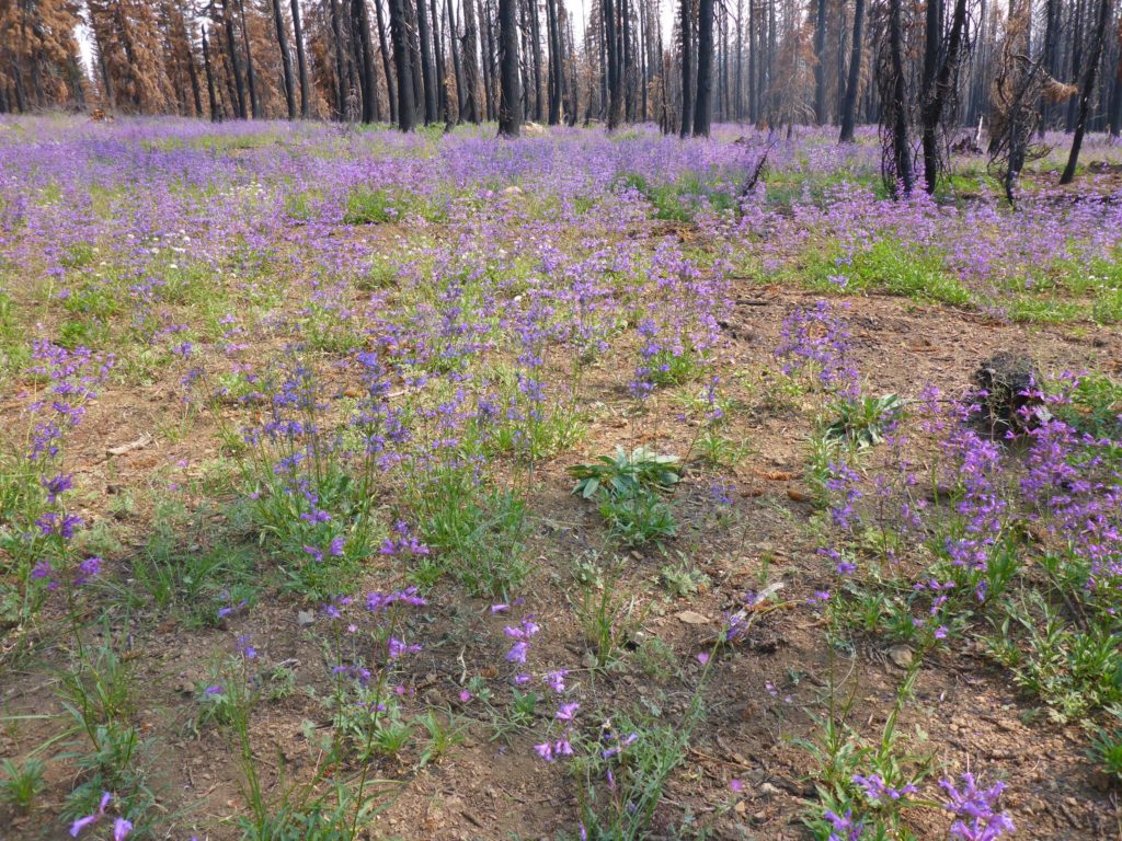
The trail north does not go very far before running into the Dixie Fire-burned area, but where the fire was less severe, slender penstemon is blooming en masse, creating quite a show.
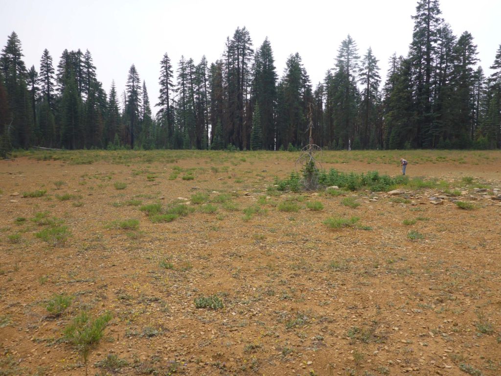
Shortly, the trail runs into the most severely burned section and continues for some distance. This half of the 6.2-mile section is mostly uphill, at the top of which are a couple of meadows—most of them dry now, but home to species not seen elsewhere on this section, still in bloom.
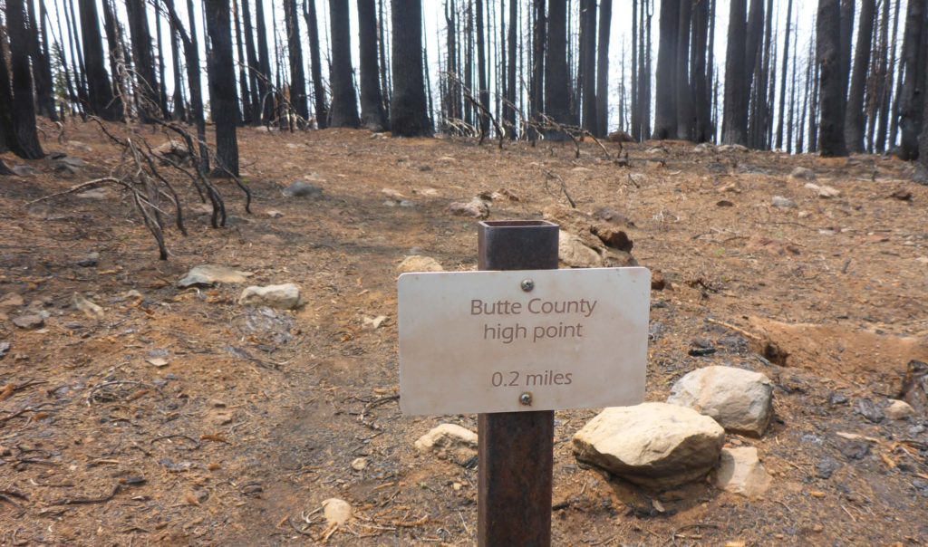
Toward the midpoint of the trail section is a side trail to the high point of Butte County. Unfortunately, fire has mostly obliterated this trail; we could not find the endpoint. However, we had been there before and can testify that you won’t miss much by bypassing this “attraction.” The high point is not a peak or in any way conspicuously demarked—it is simply Butte County’s high point, which happens to be on its boundary with Plumas County, somewhere along a hillside.
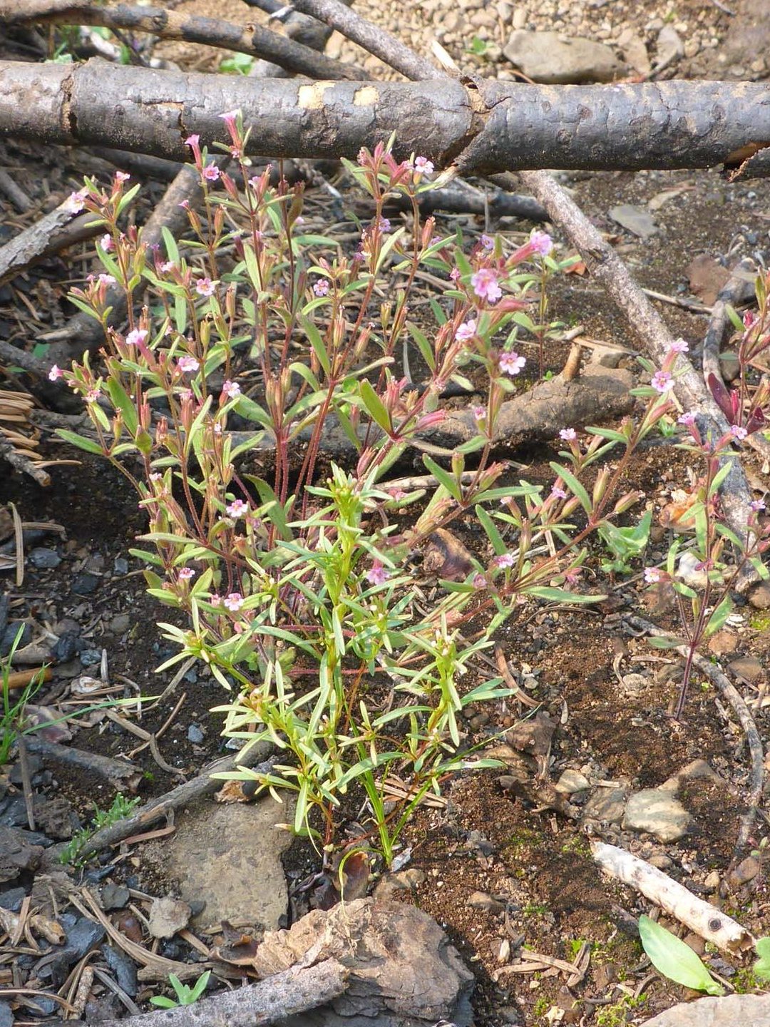
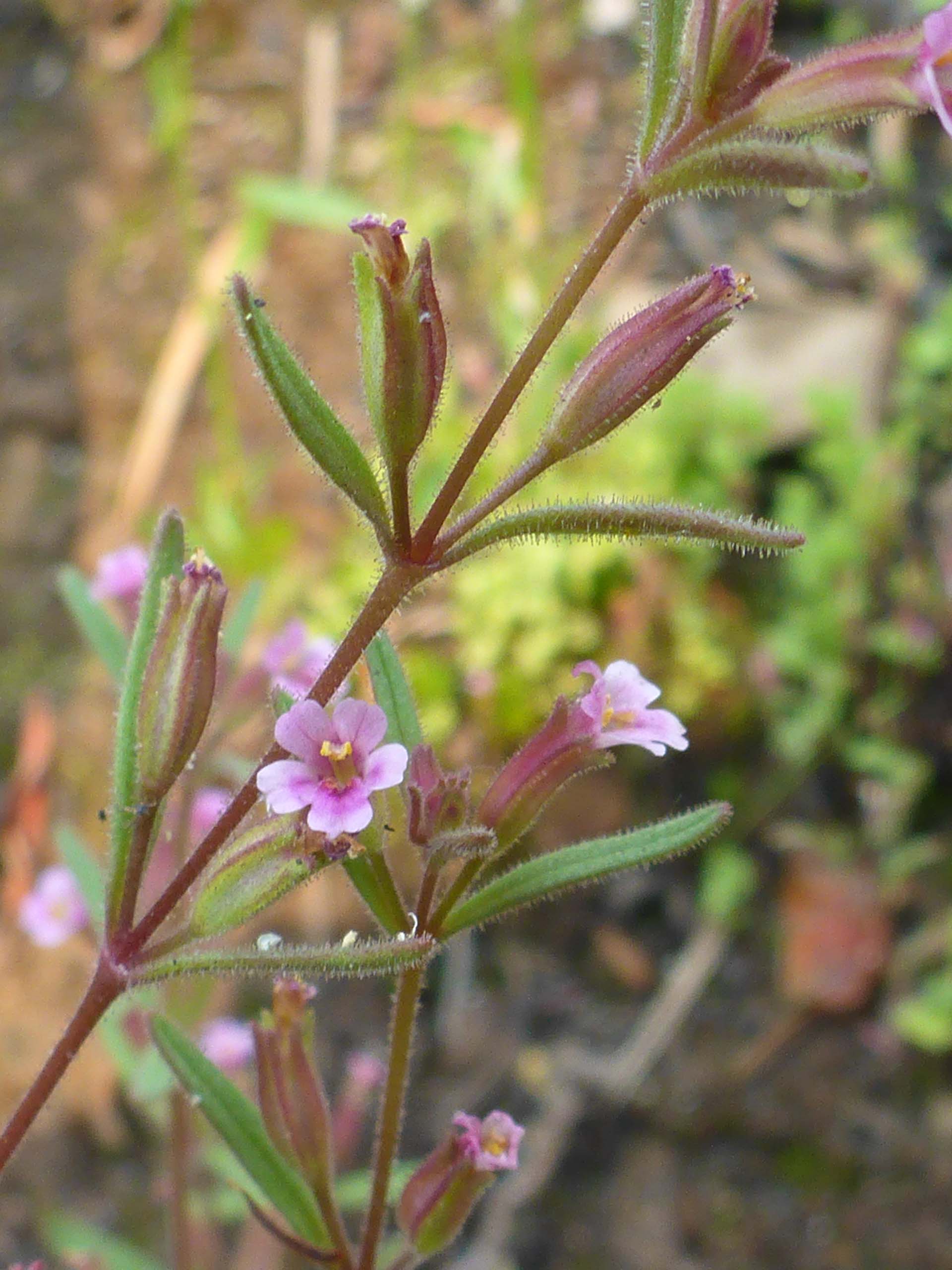
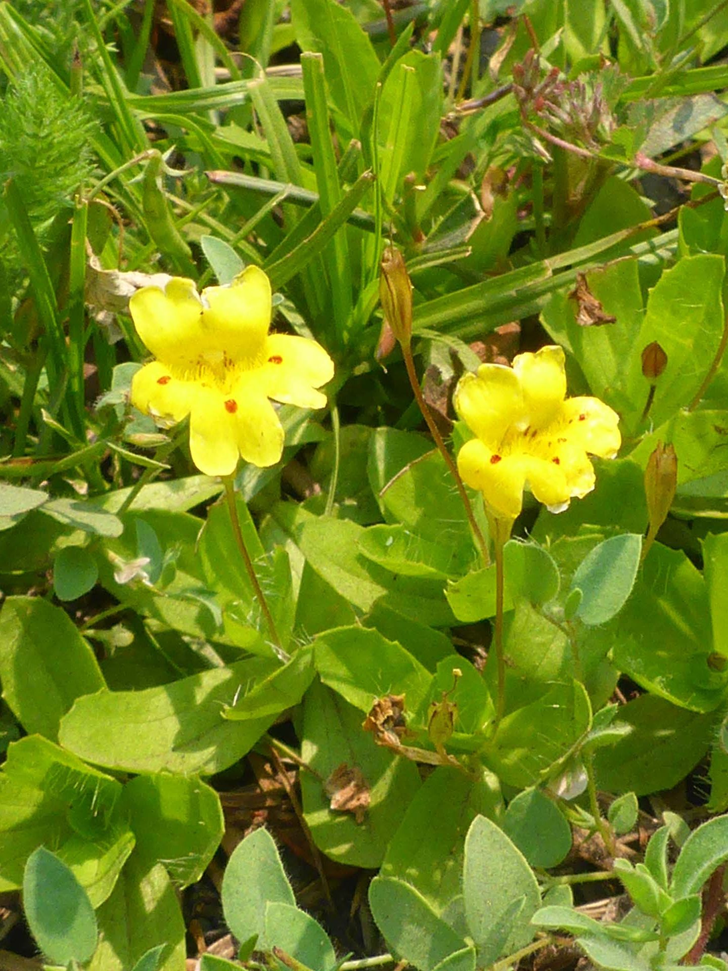
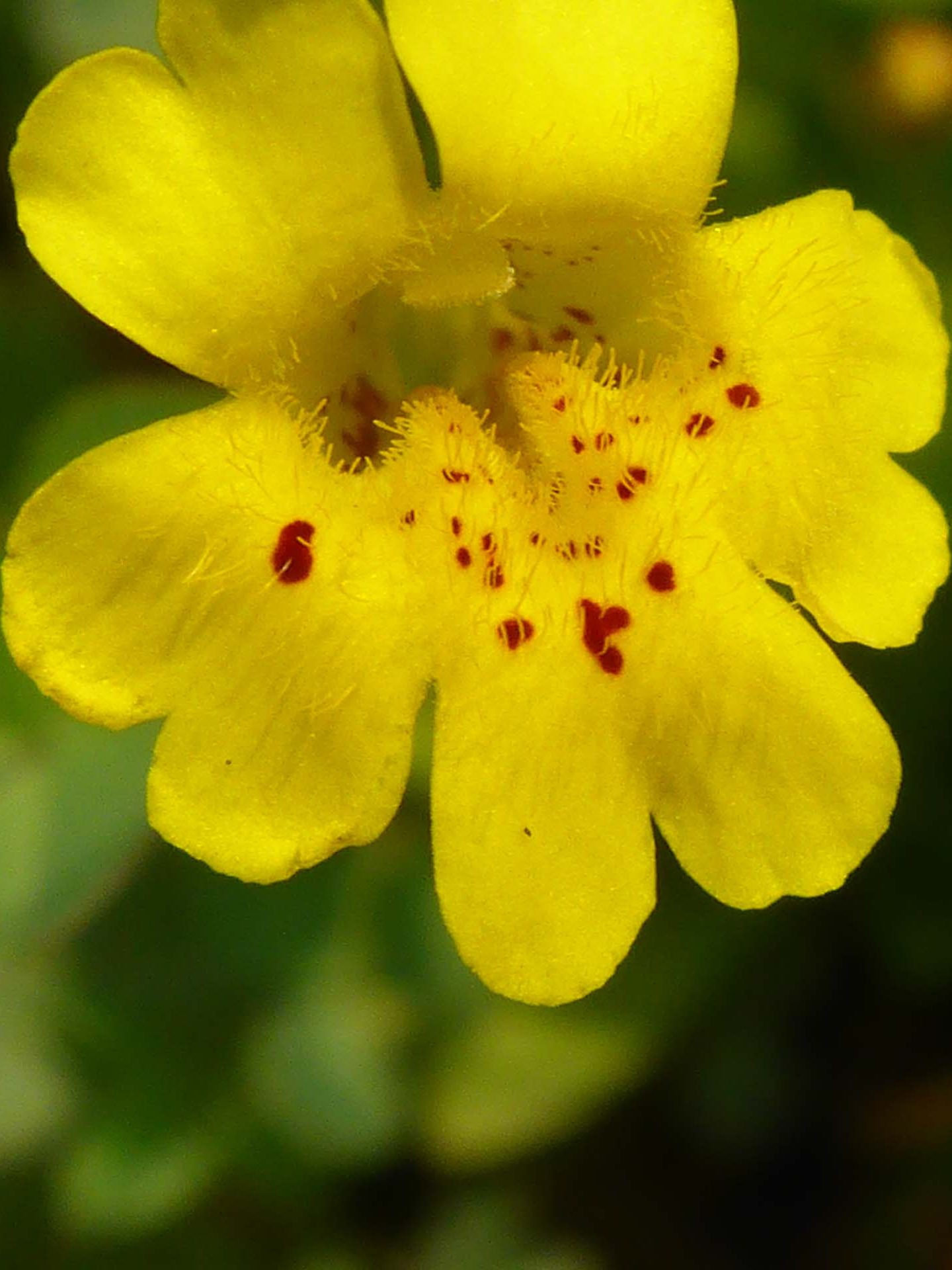
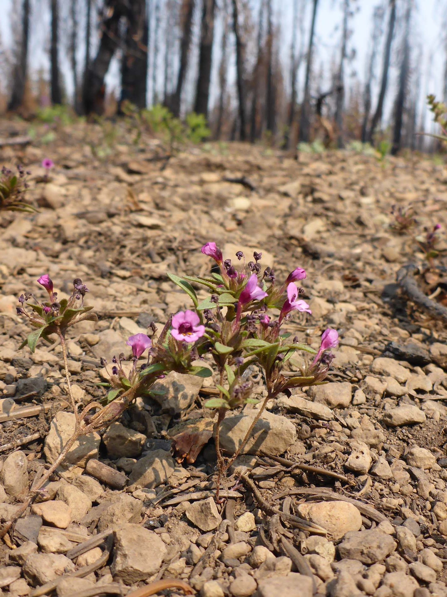
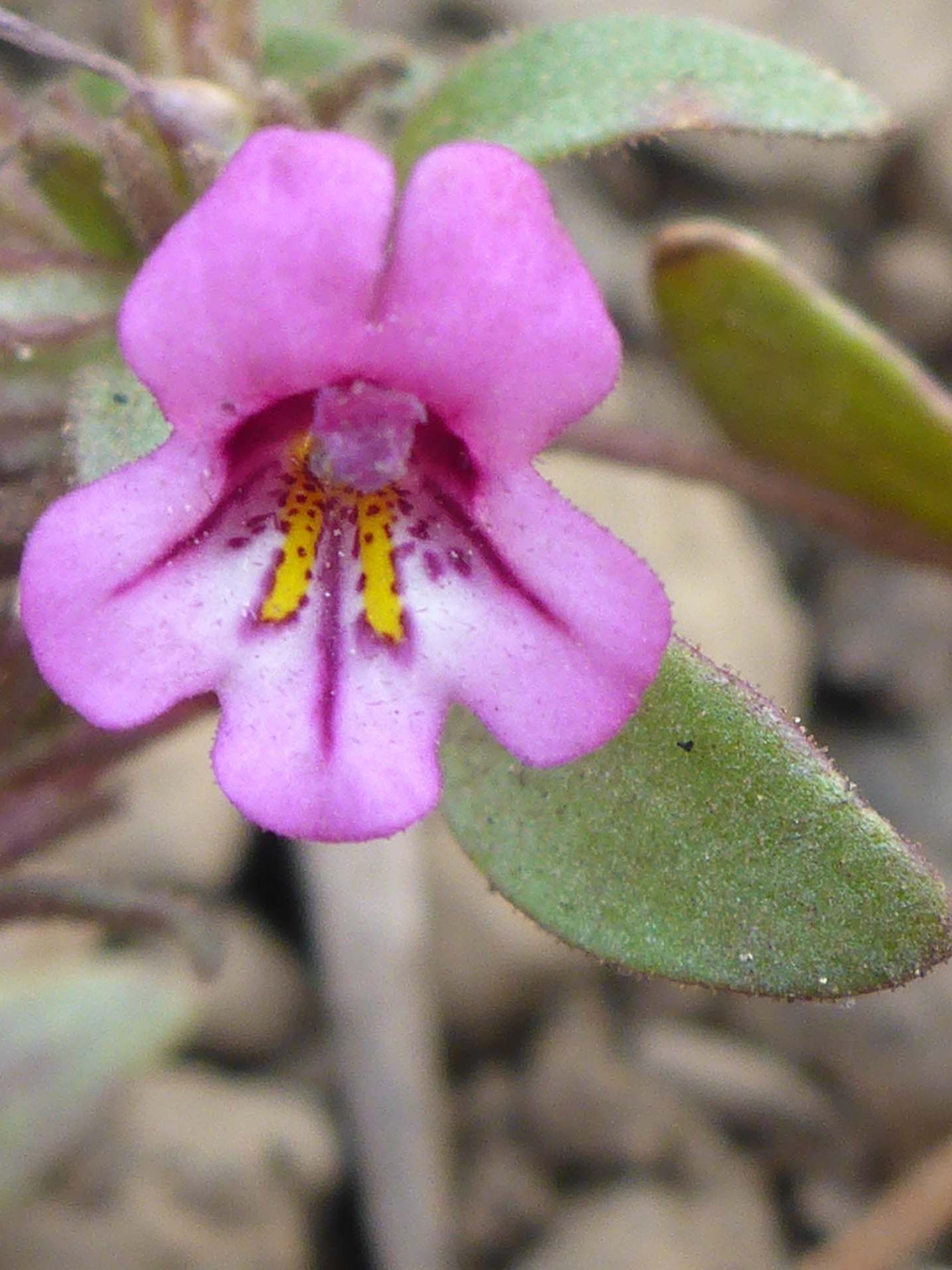
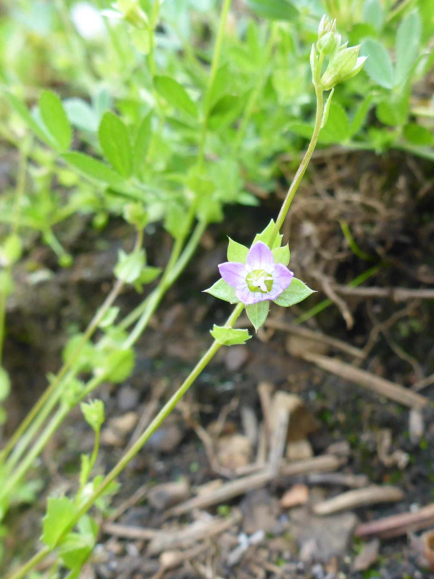
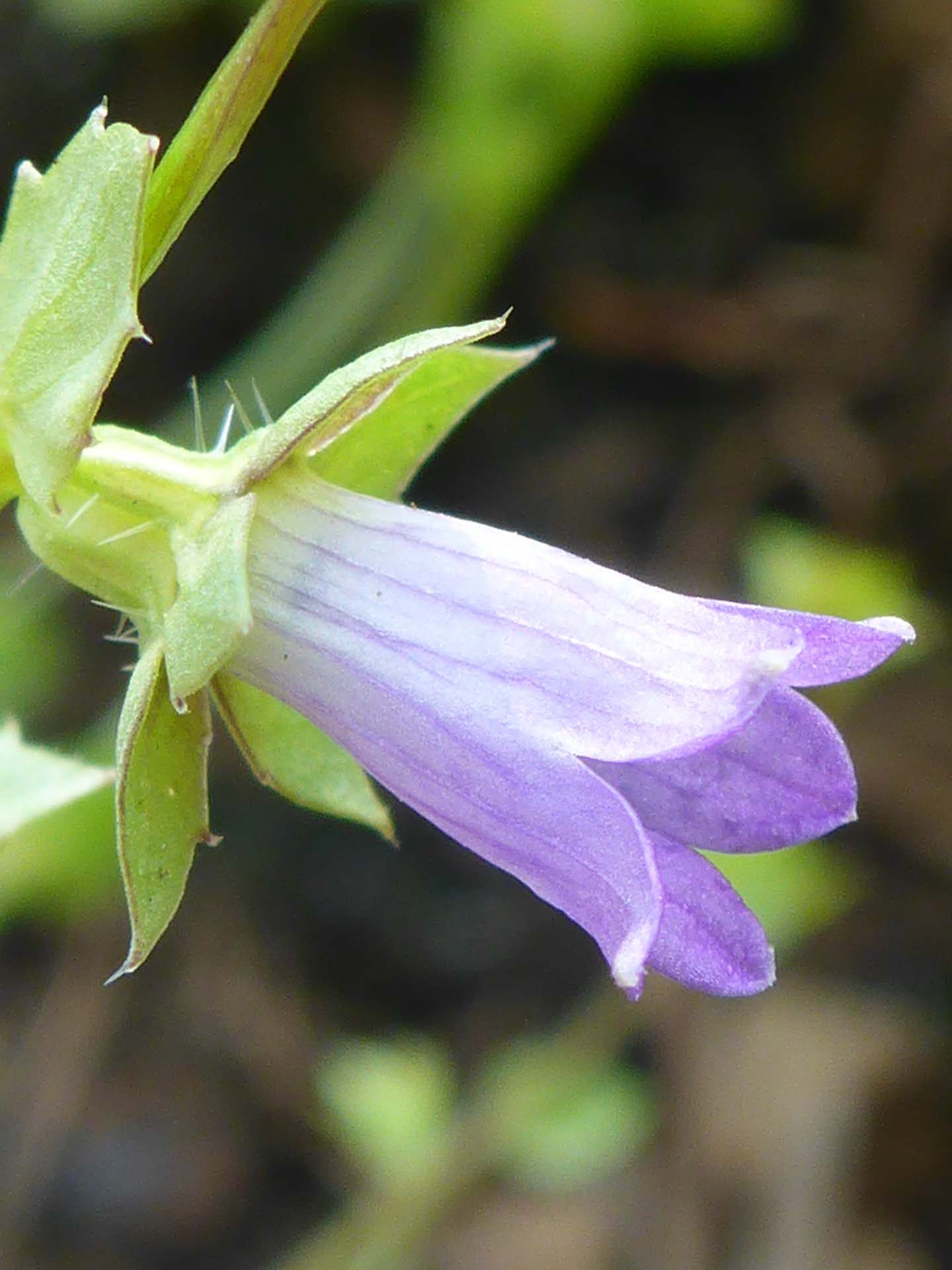
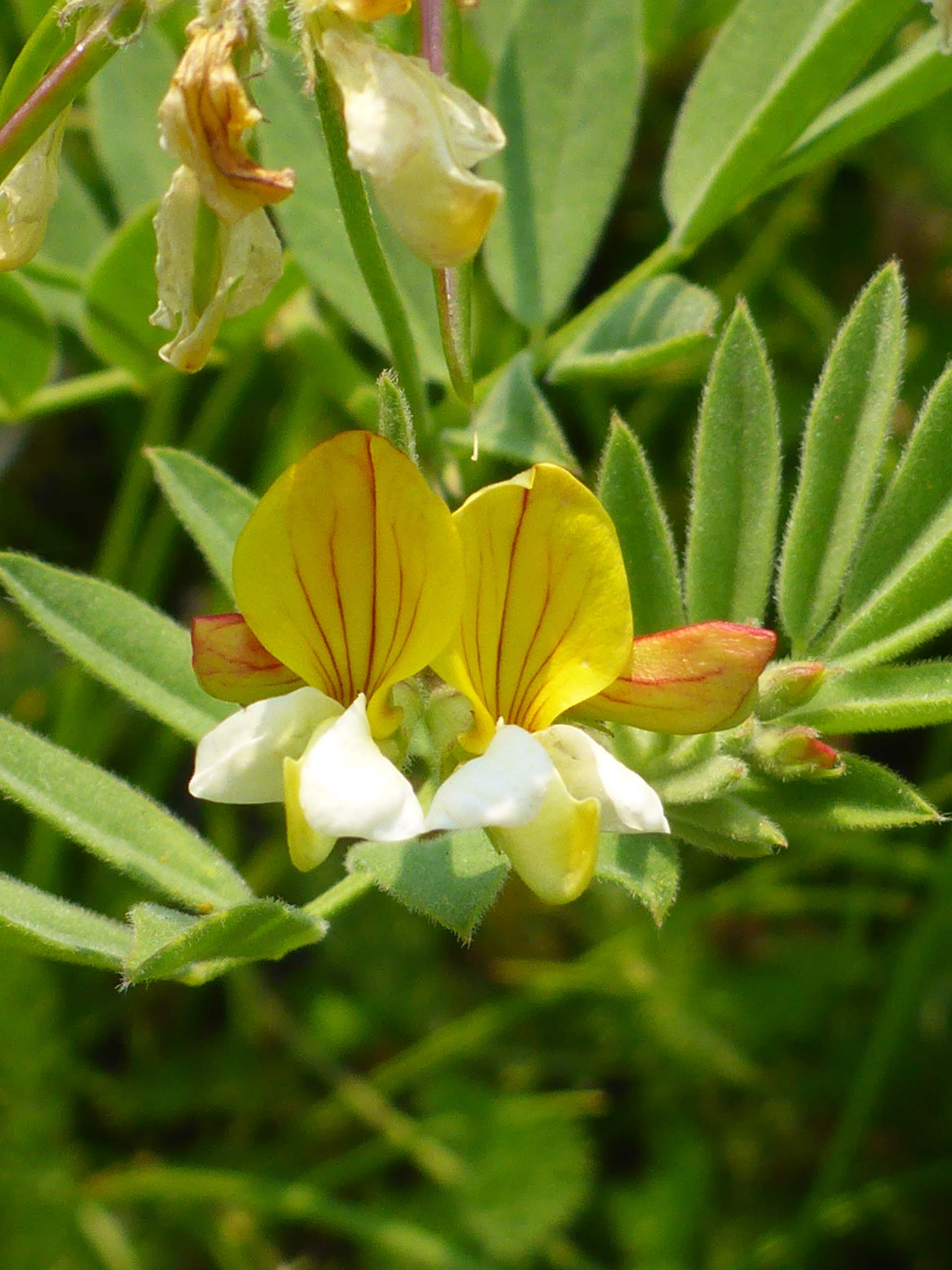
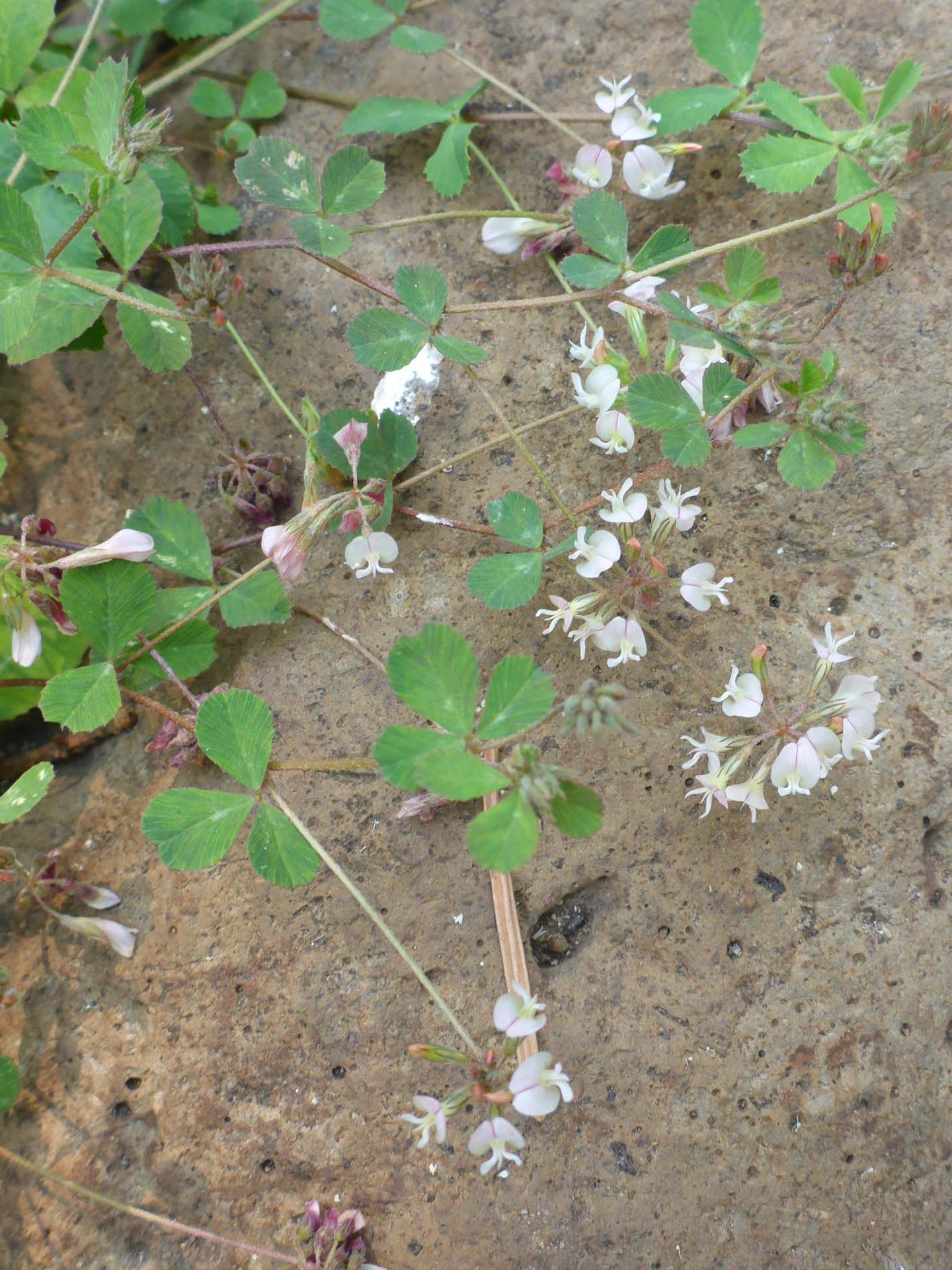
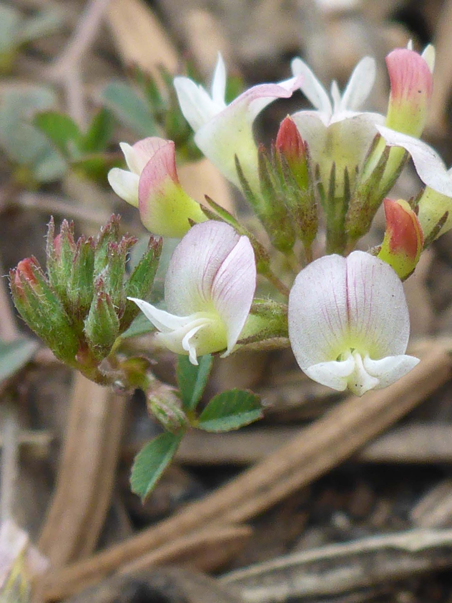
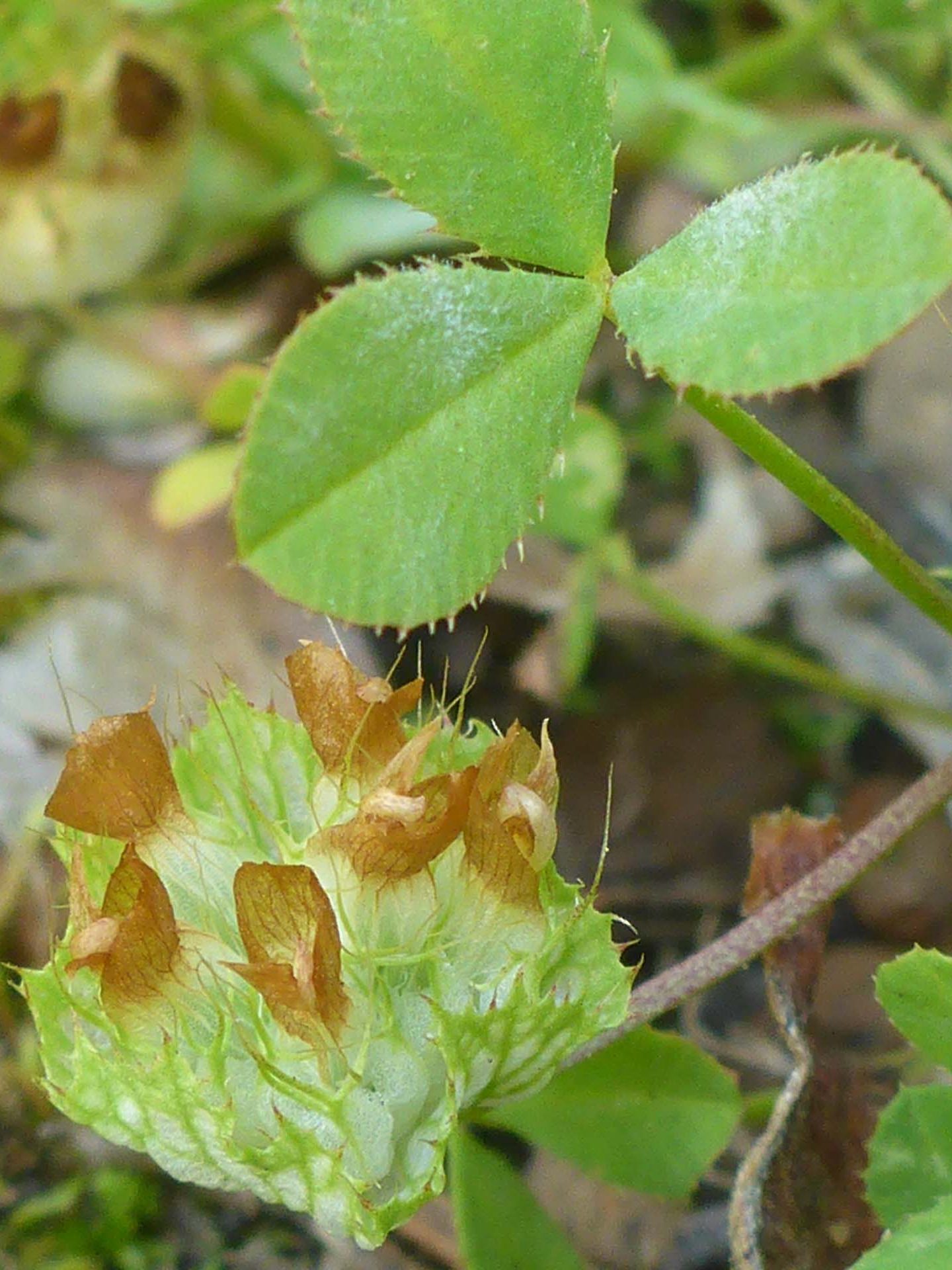
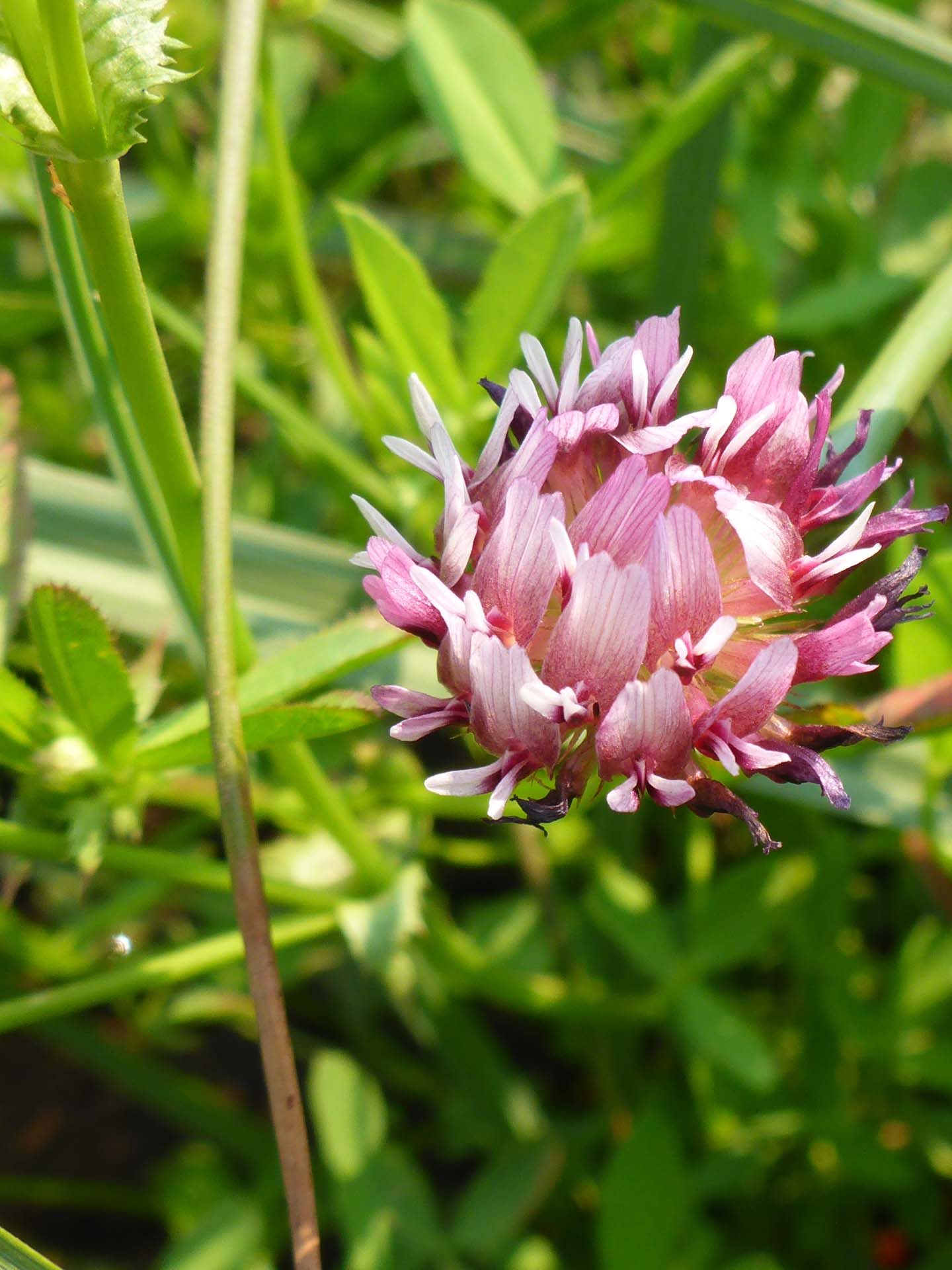
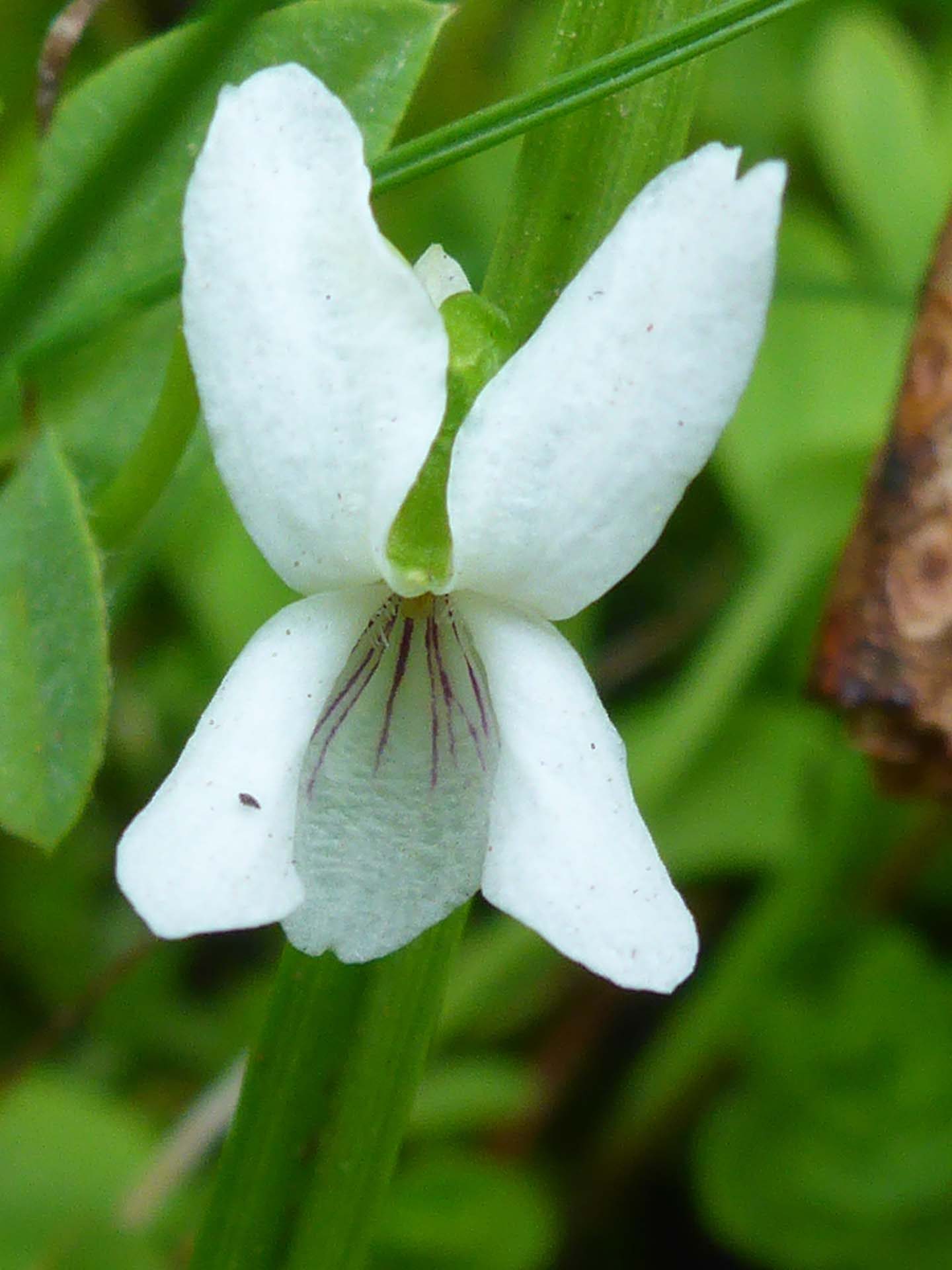
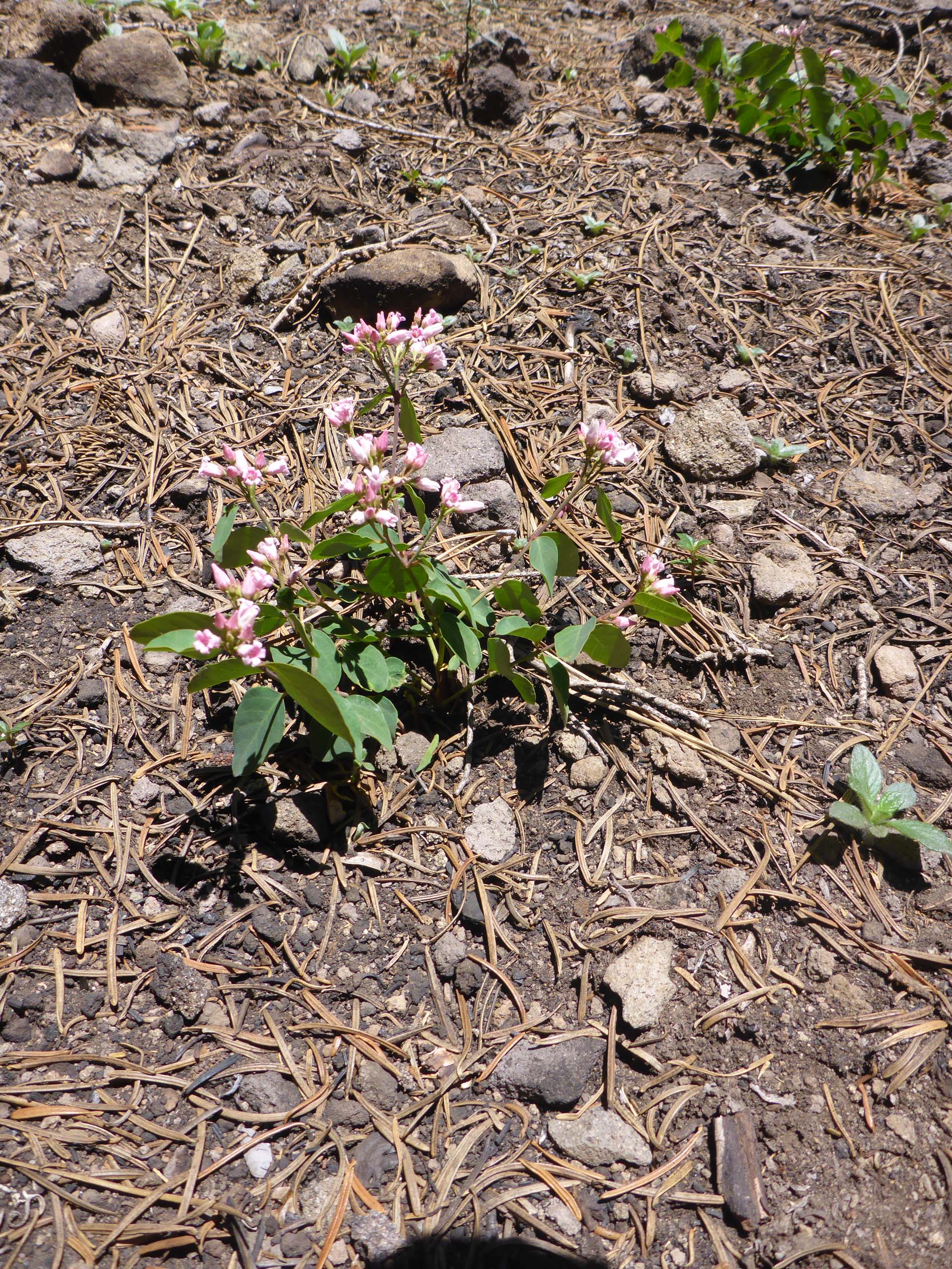
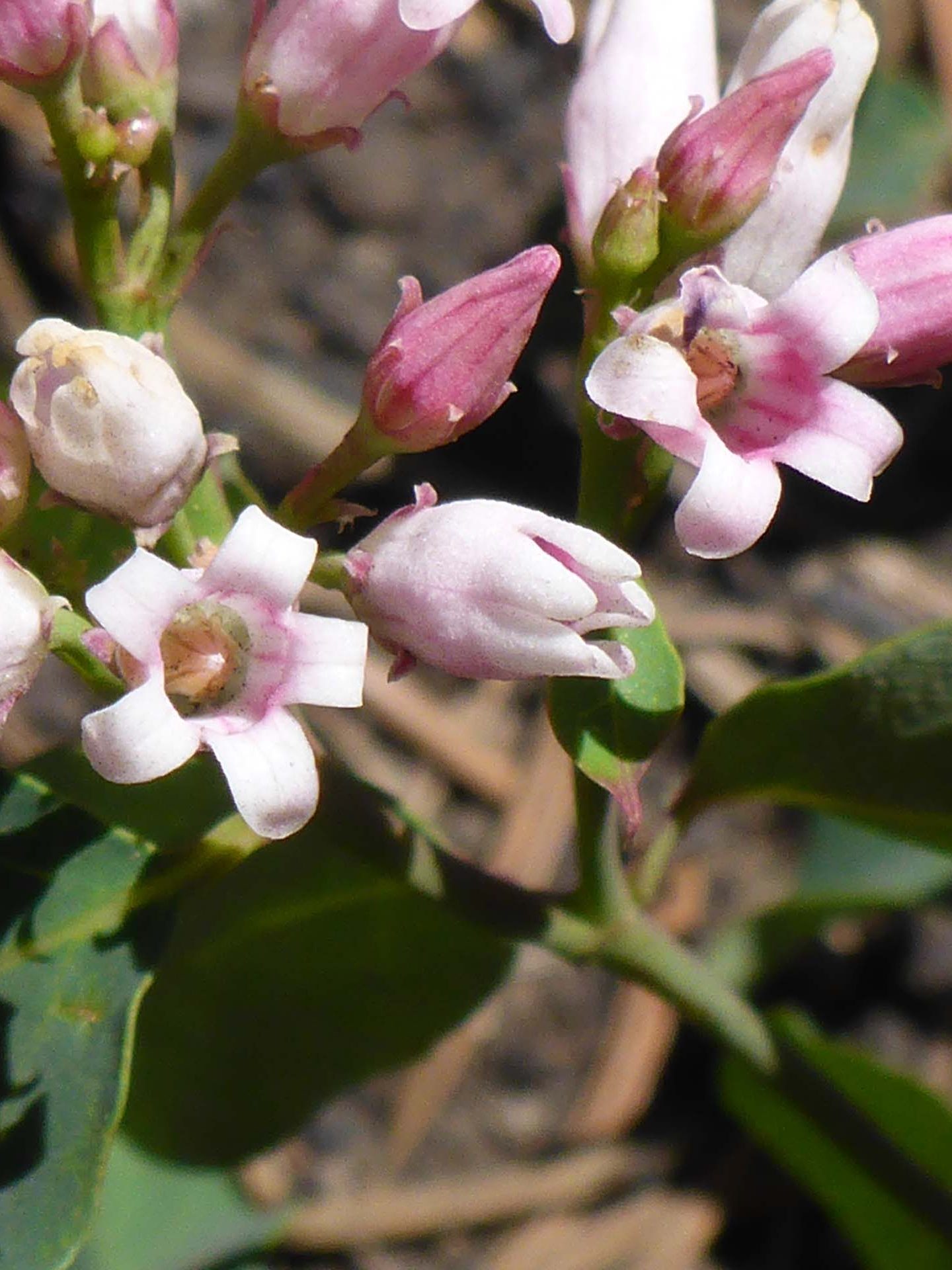
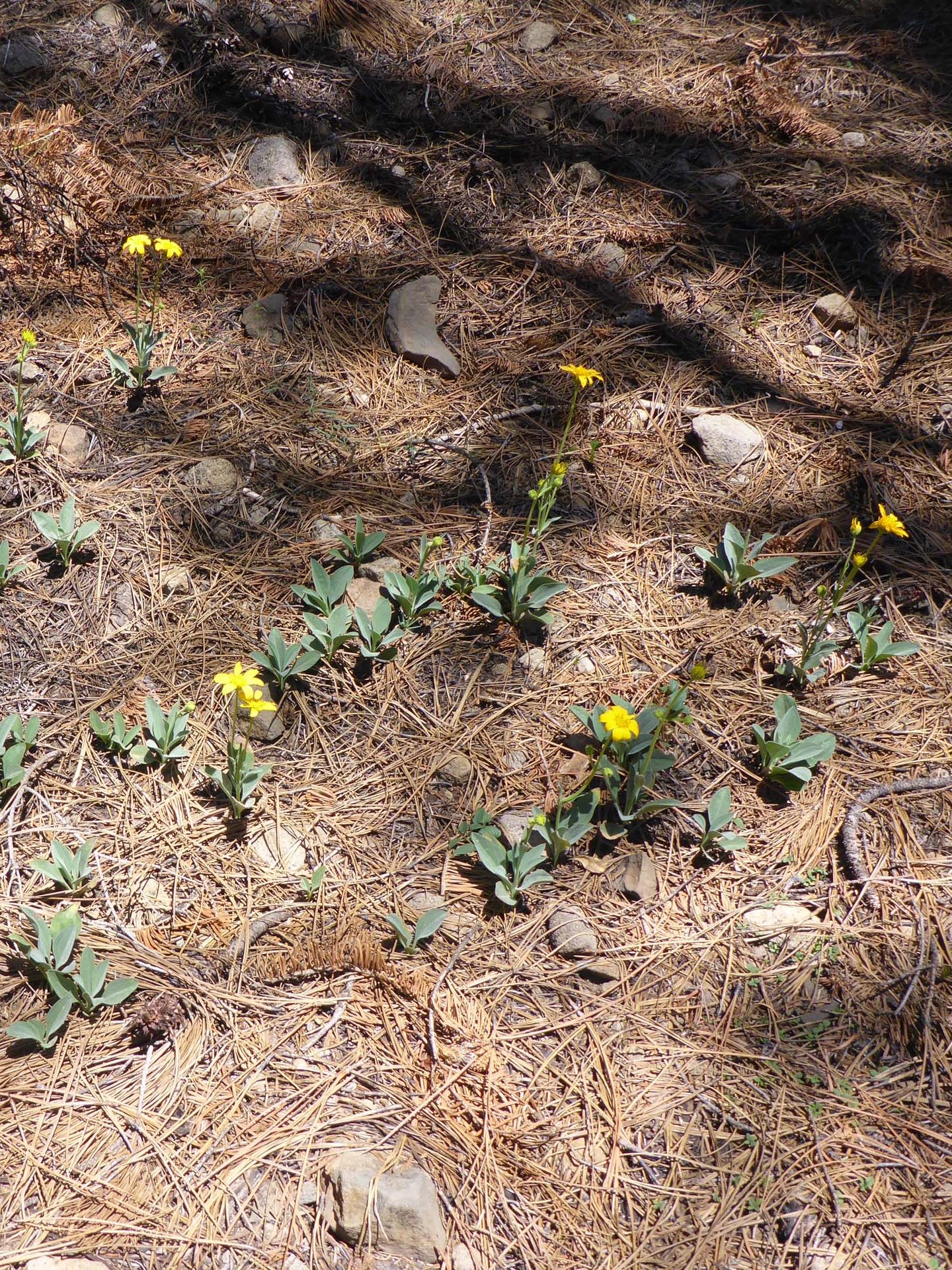
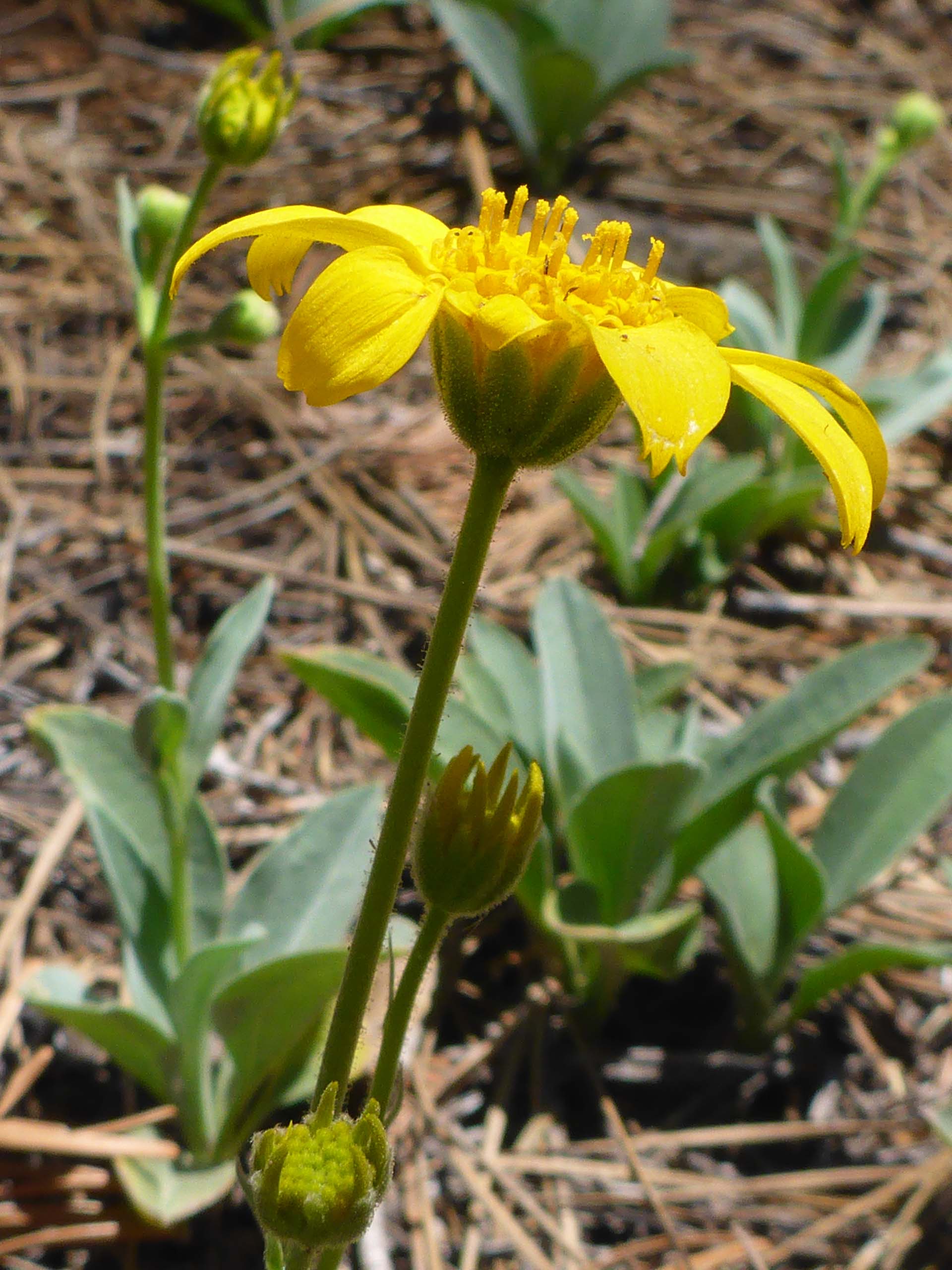
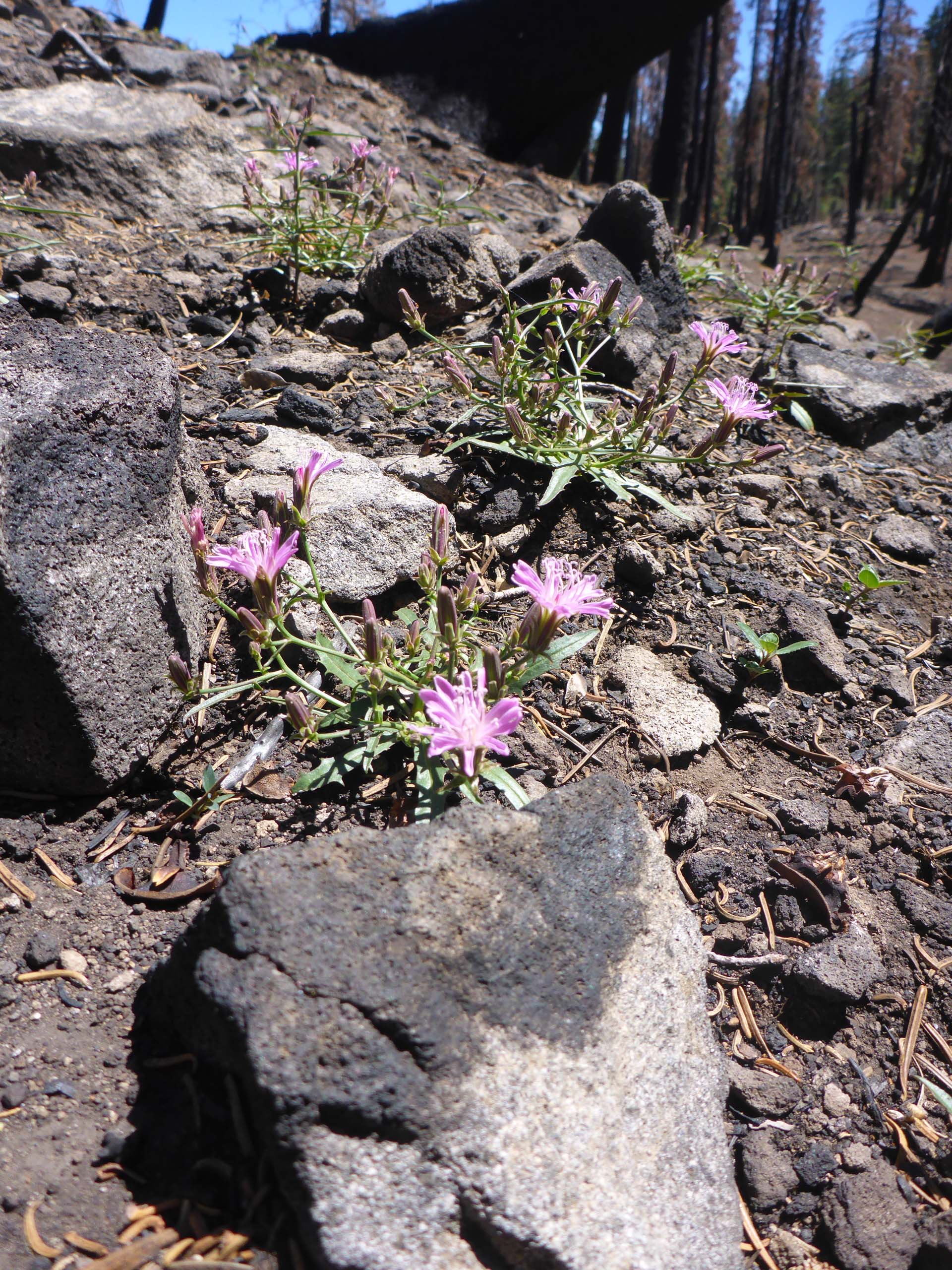
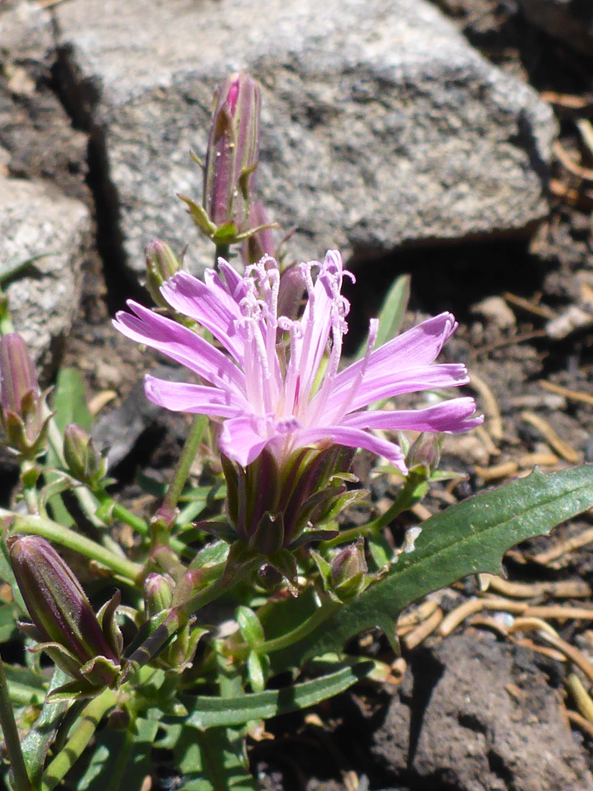
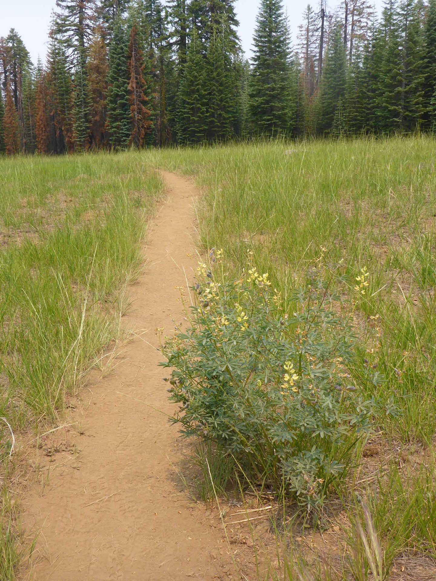
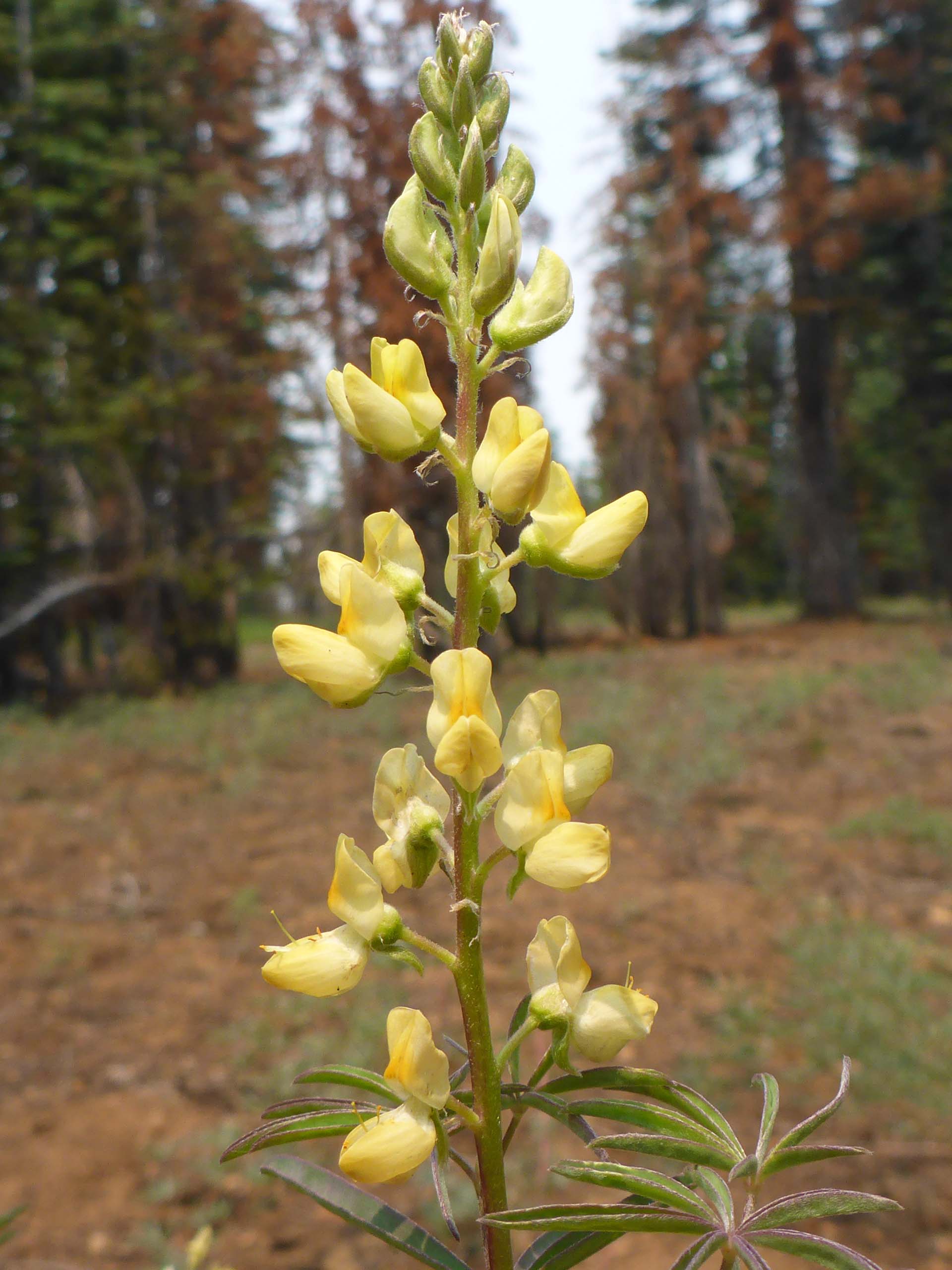
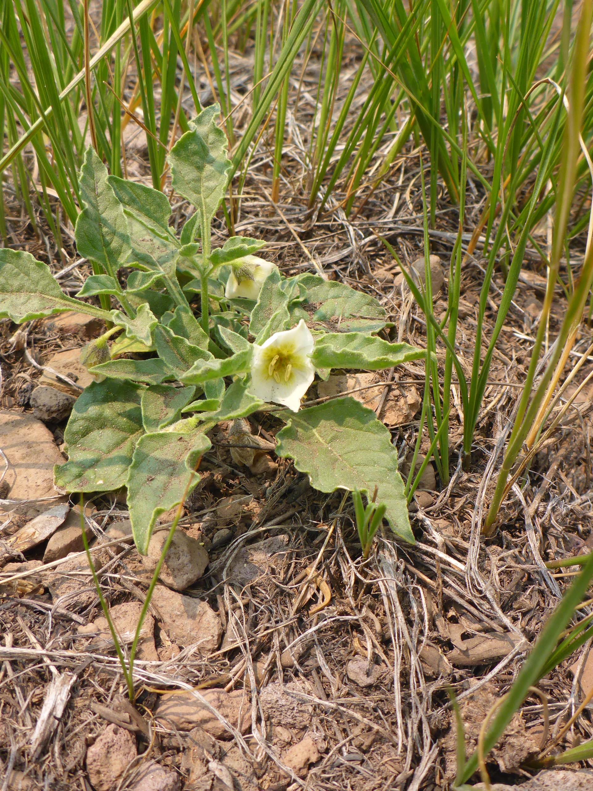
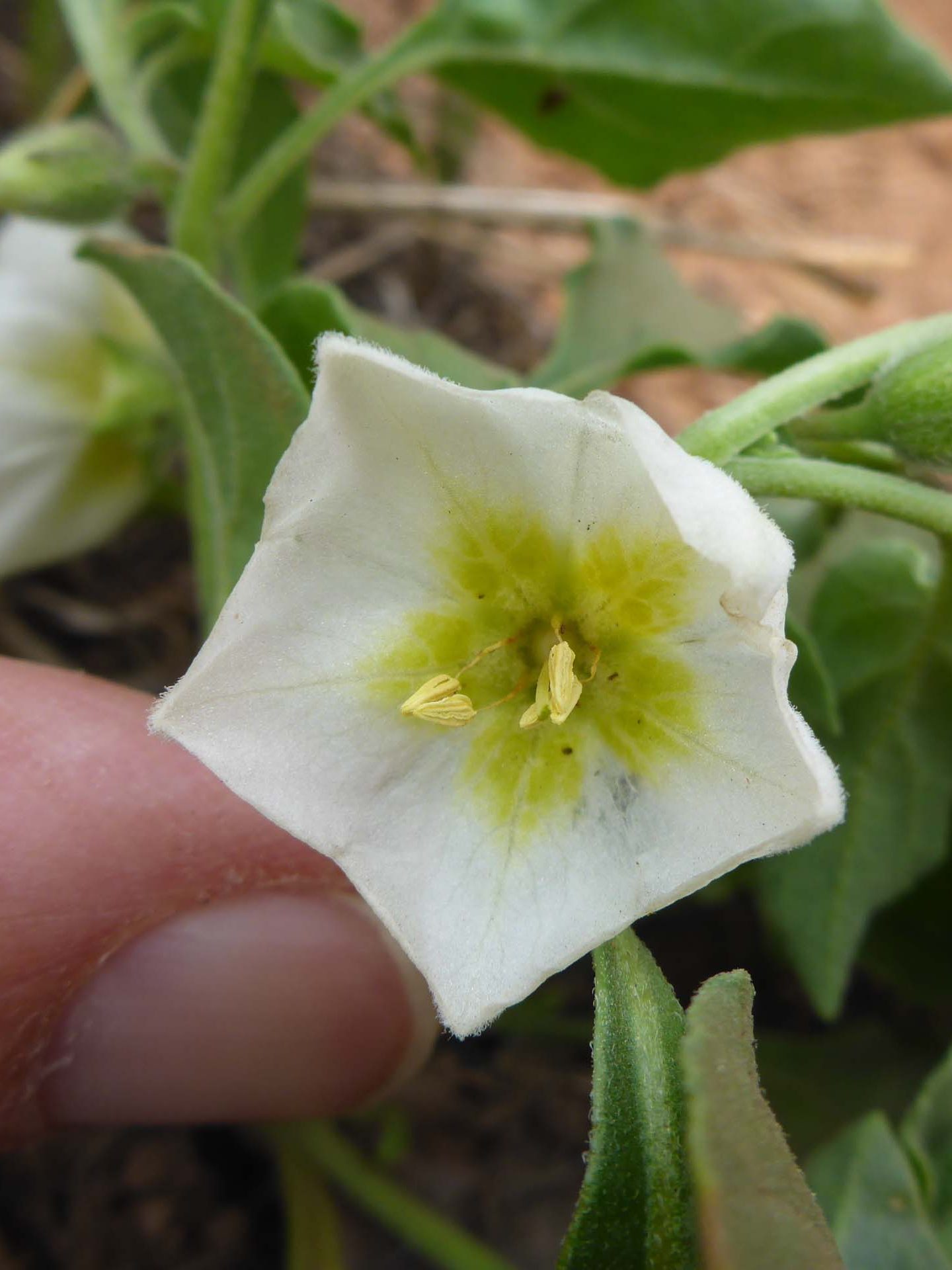
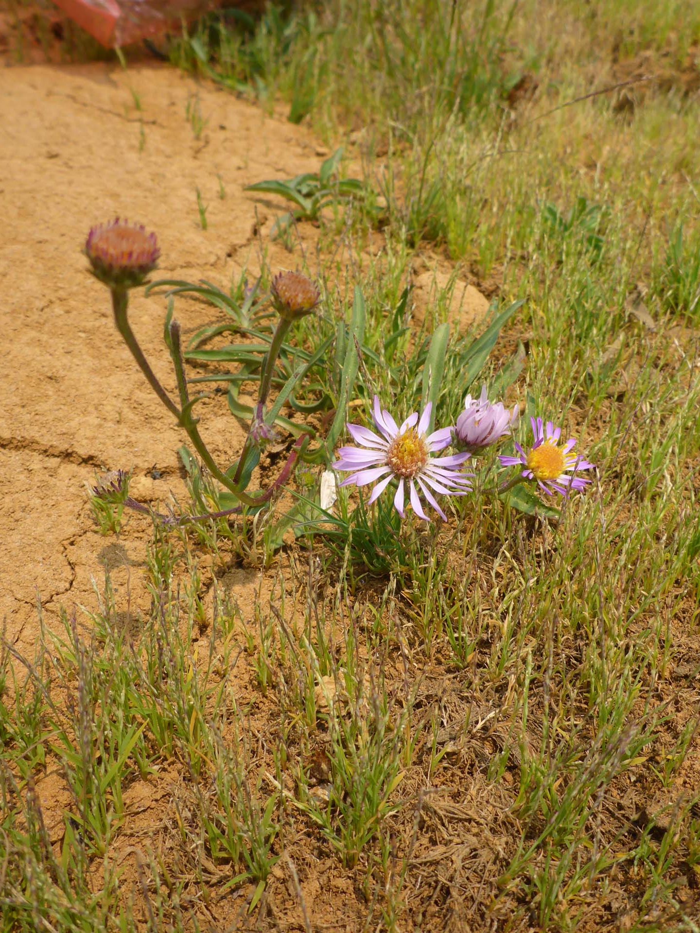
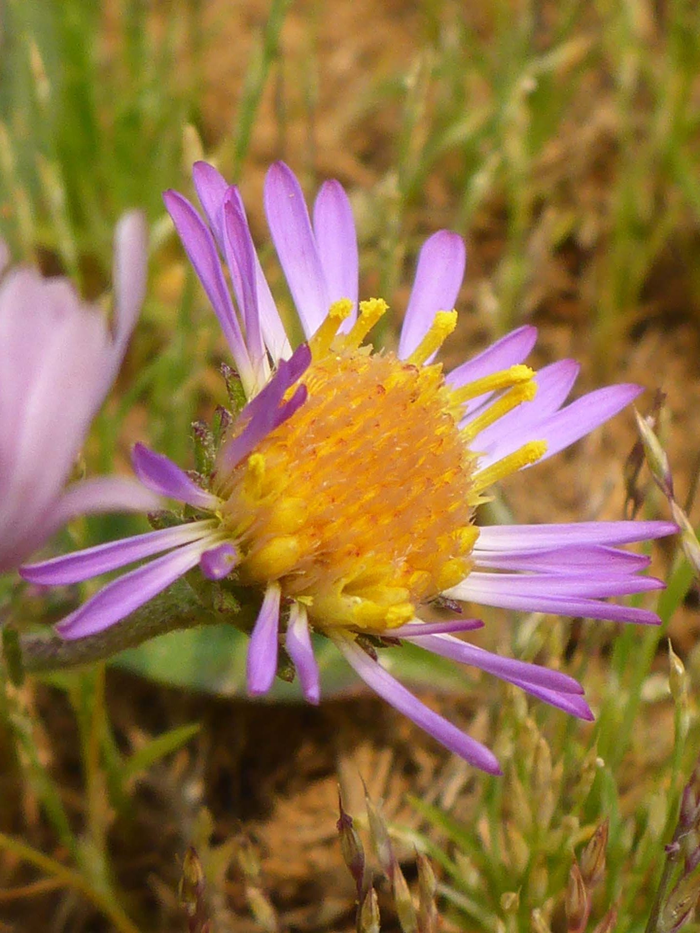
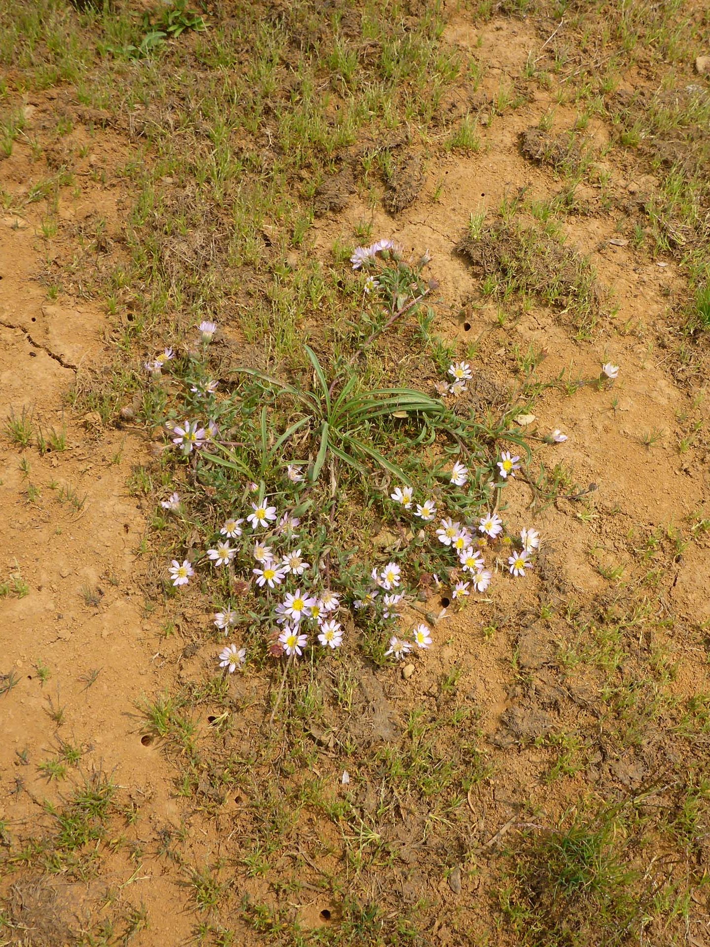
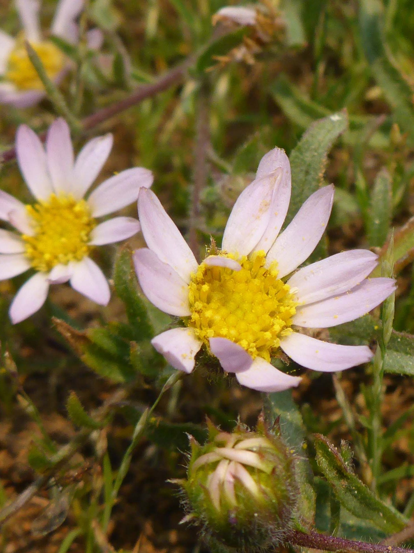
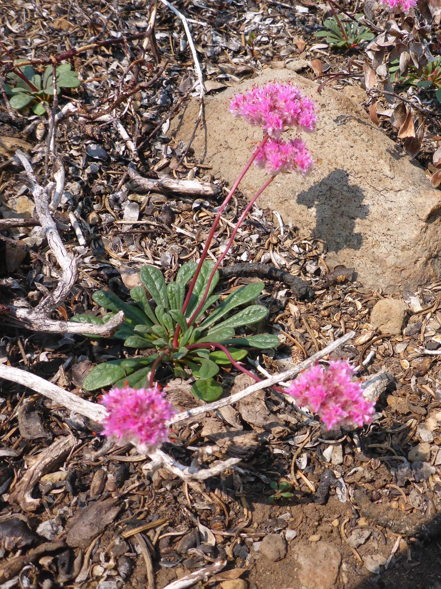
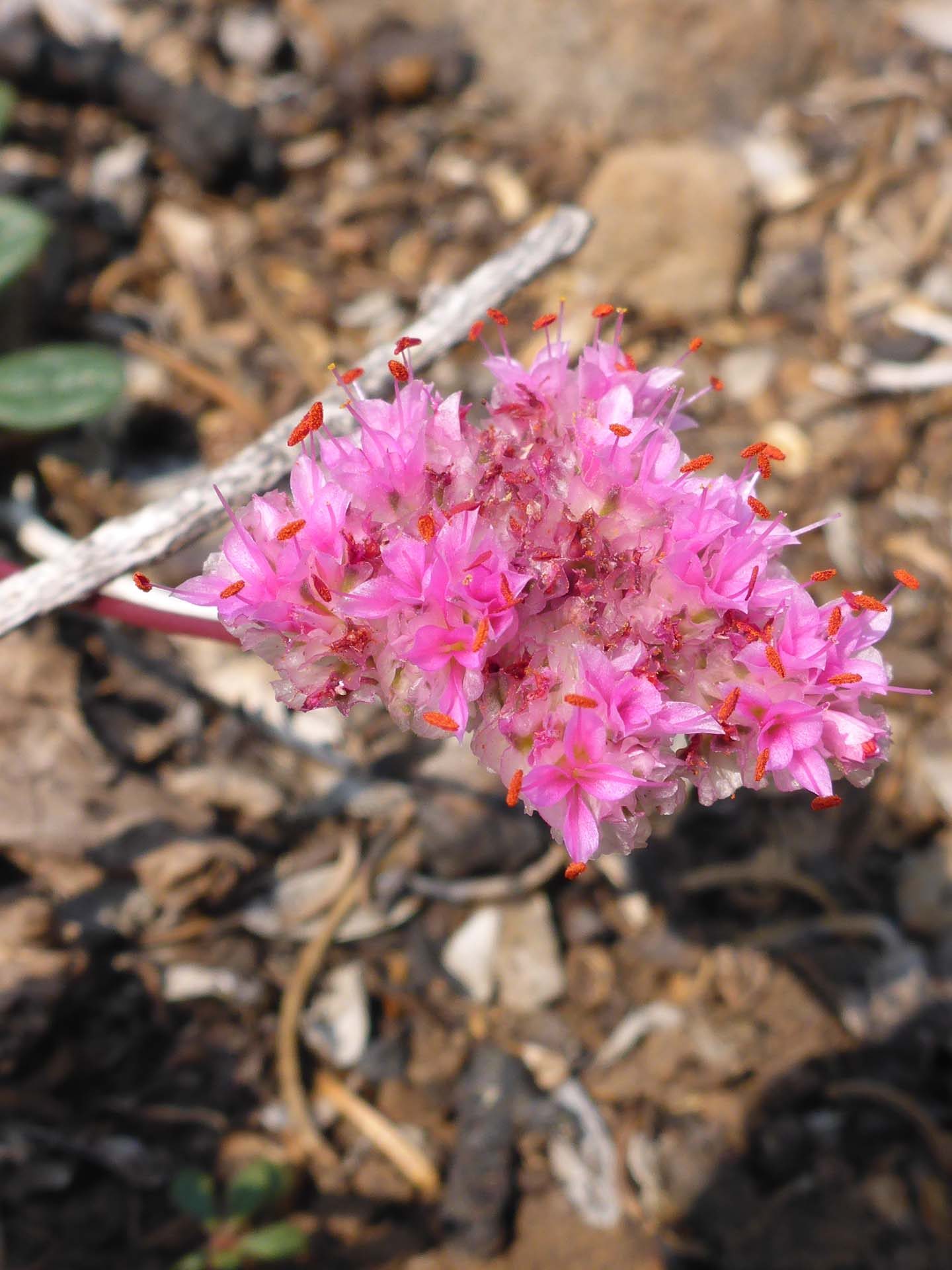
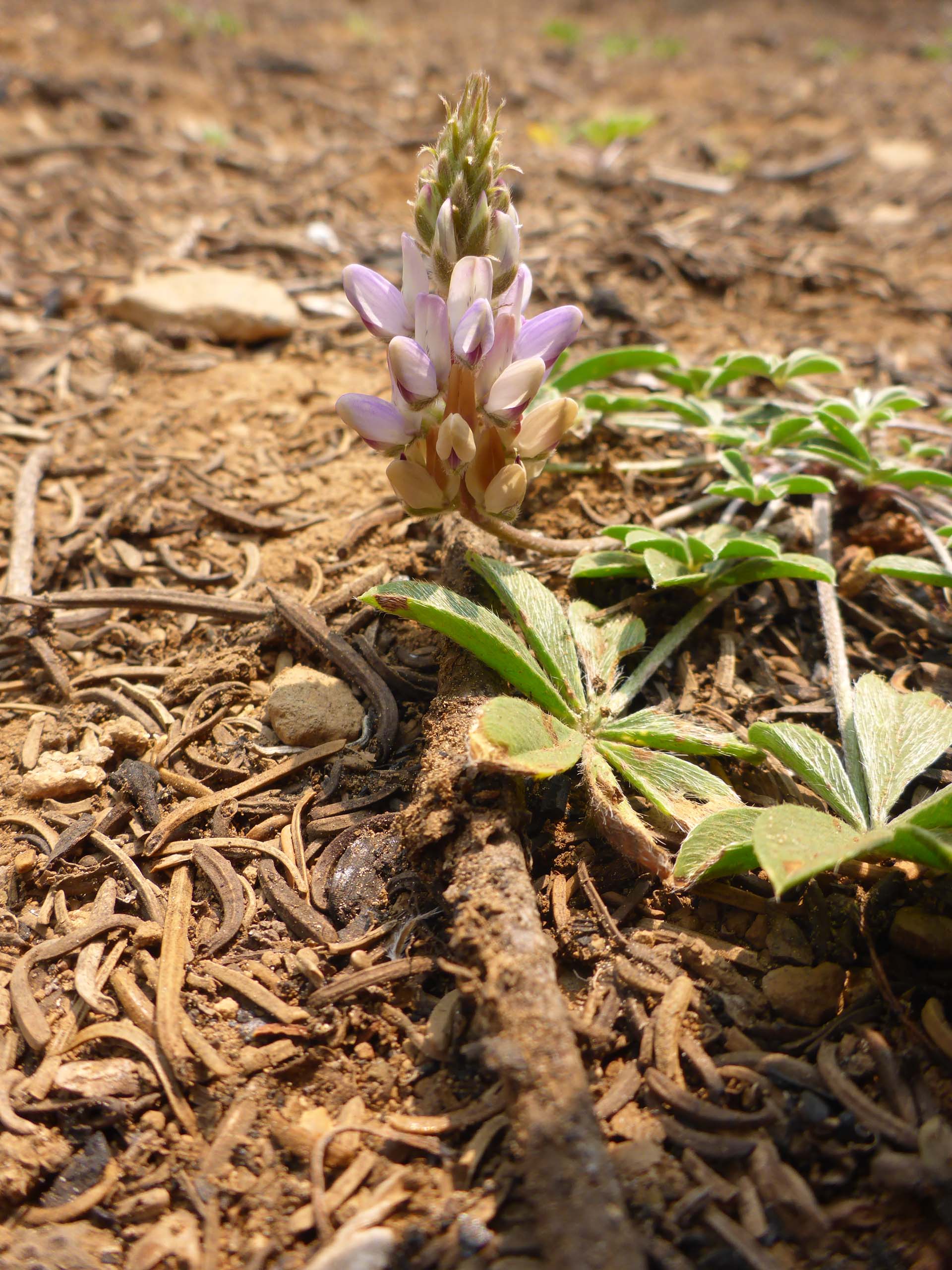
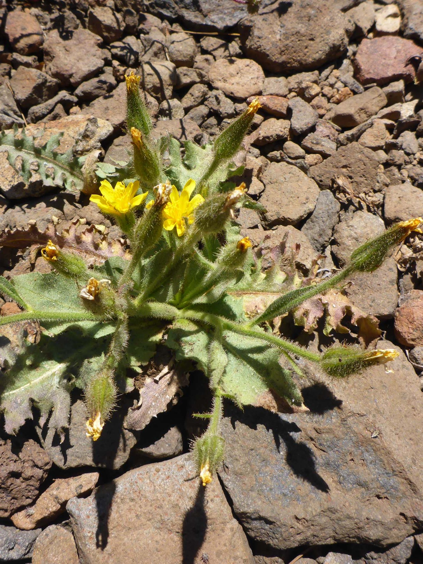
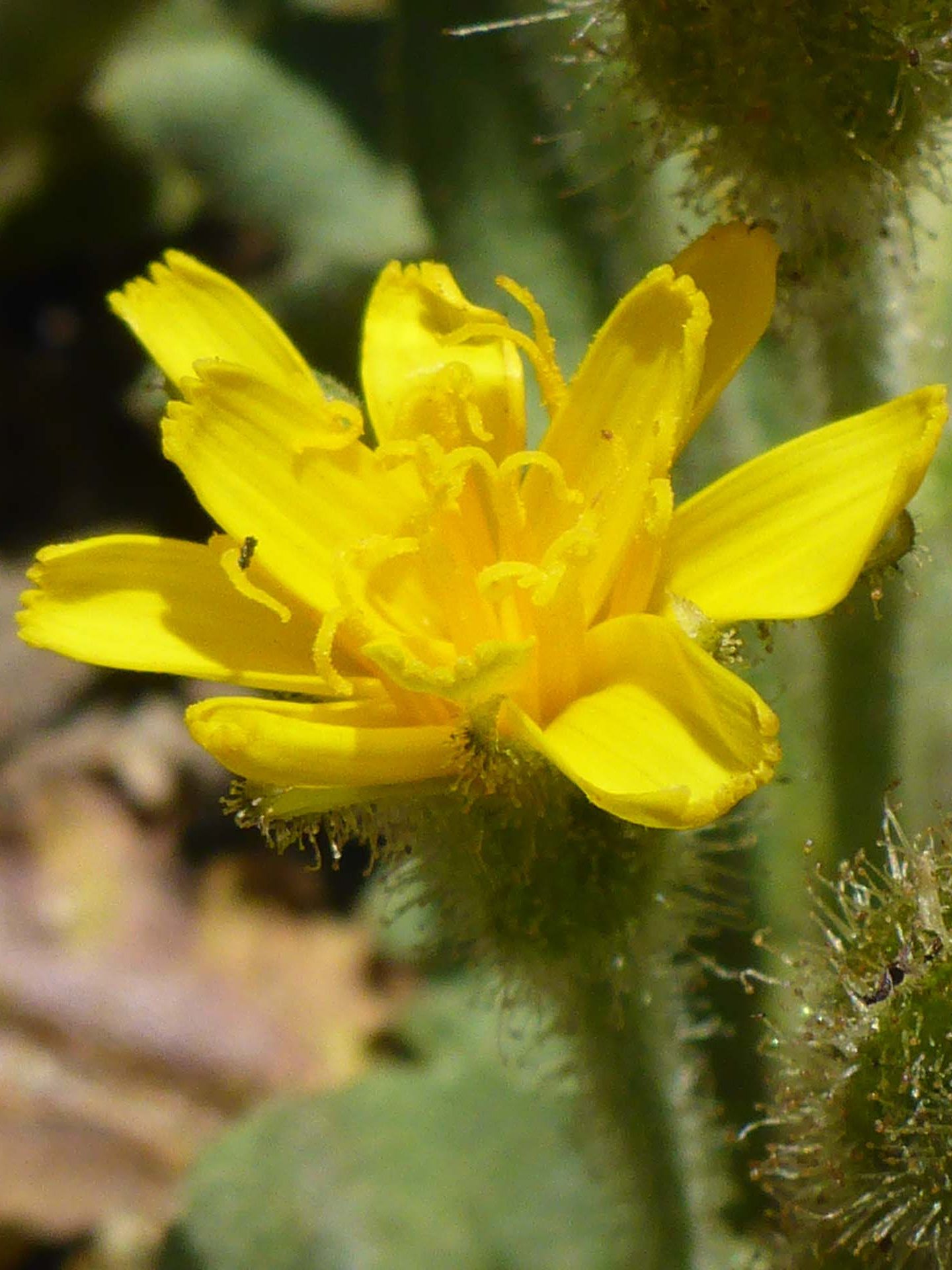
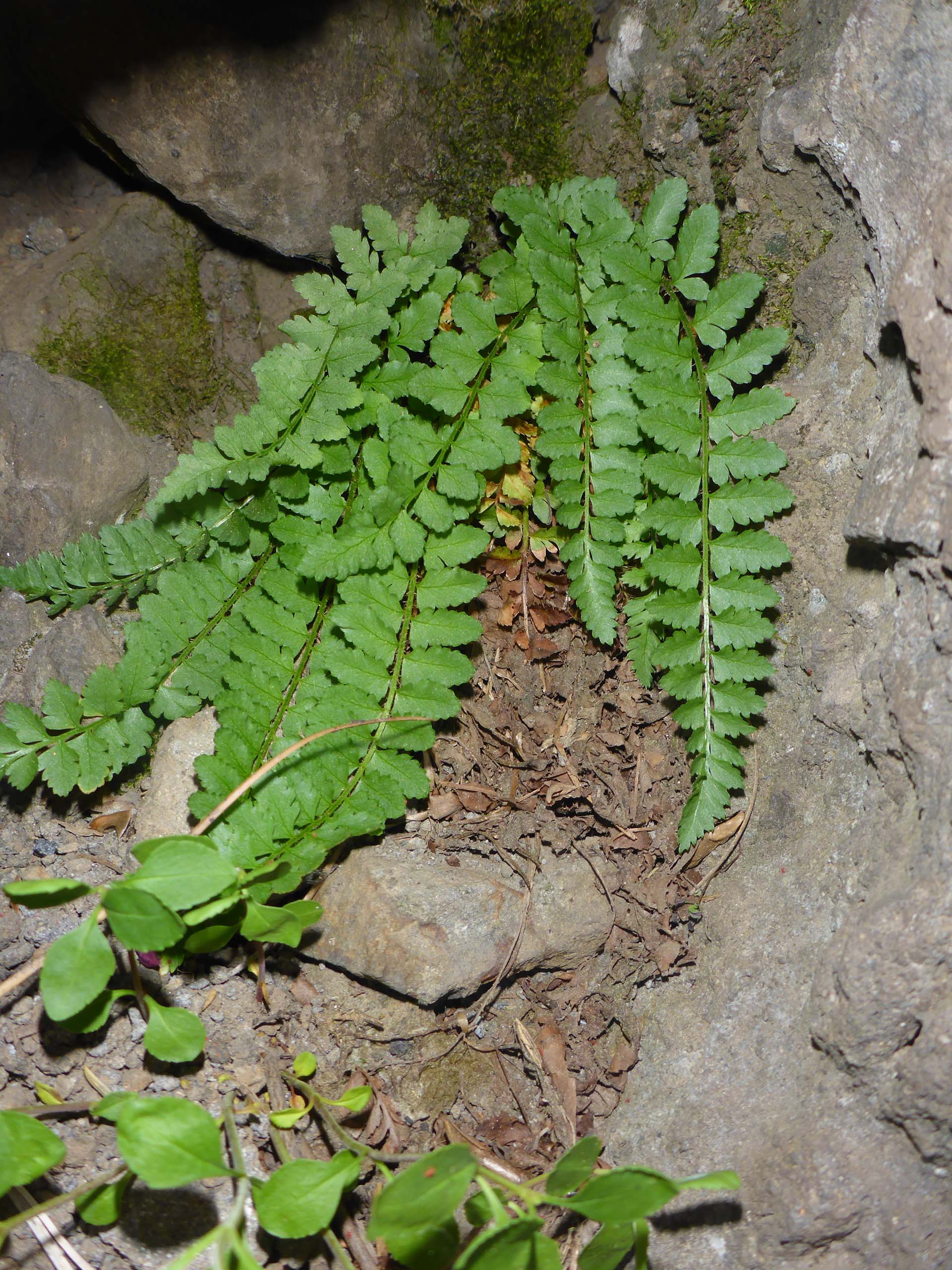
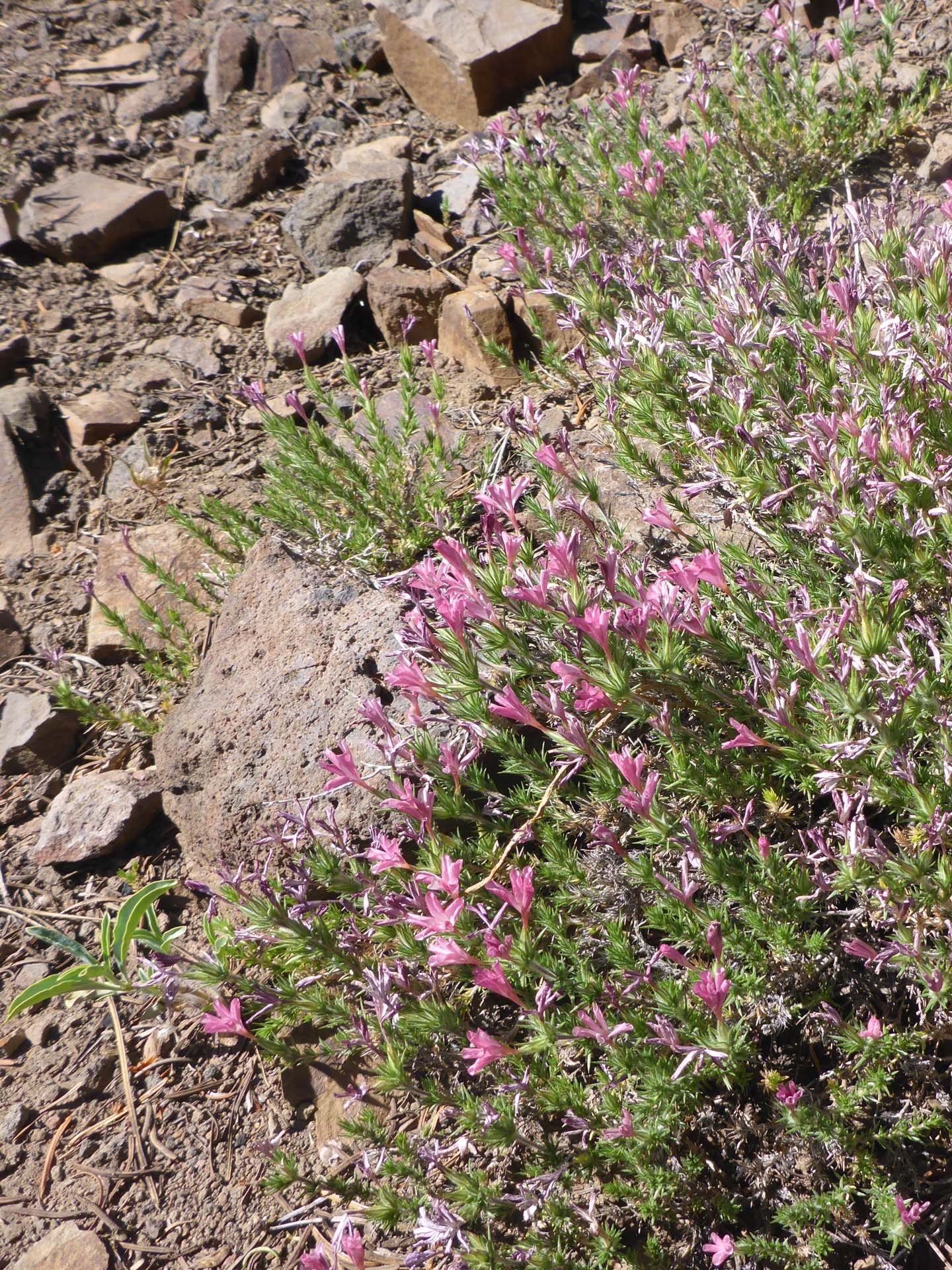
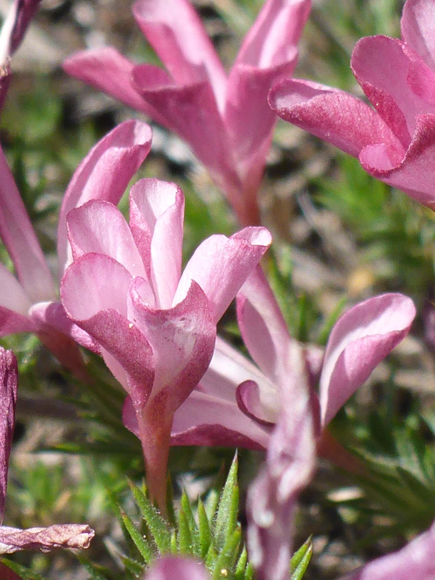
Whether you opt for an easy car ride and picnic, or a shuttled 6.2-mile hike of moderate difficulty, this PCT section has something to offer everyone. Below is a slideshow of some of the blooming beauties we saw on our two visits to the area. The photos are labeled CS (Cold Springs; July 24, 2022) or HS (Humboldt Summit; July 17, 2022) to provide general location data. All photos by Don Burk. Enjoy! ~Laurie & Don Burk

