
The Hat Creek Rim leg of the Pacific Crest Trail (PCT) is a 30-mile section high on the bluffs between Old Station and Cassel. Through-hikers who reach this section in the dead of summer are often filled with dread at the prospect of traversing this area in extreme heat, with virtually no shade, and no promise of water. Some even attempt to navigate this part in the dark, in the relative cool of night.
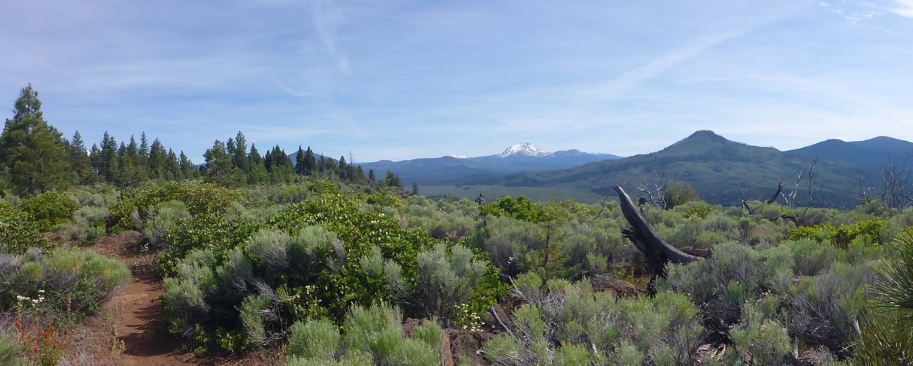
What a shame that is, because this is a wondrously beautiful area, both for its botanical bounty and its expansive views—something that day hikers will have the leisure to appreciate.
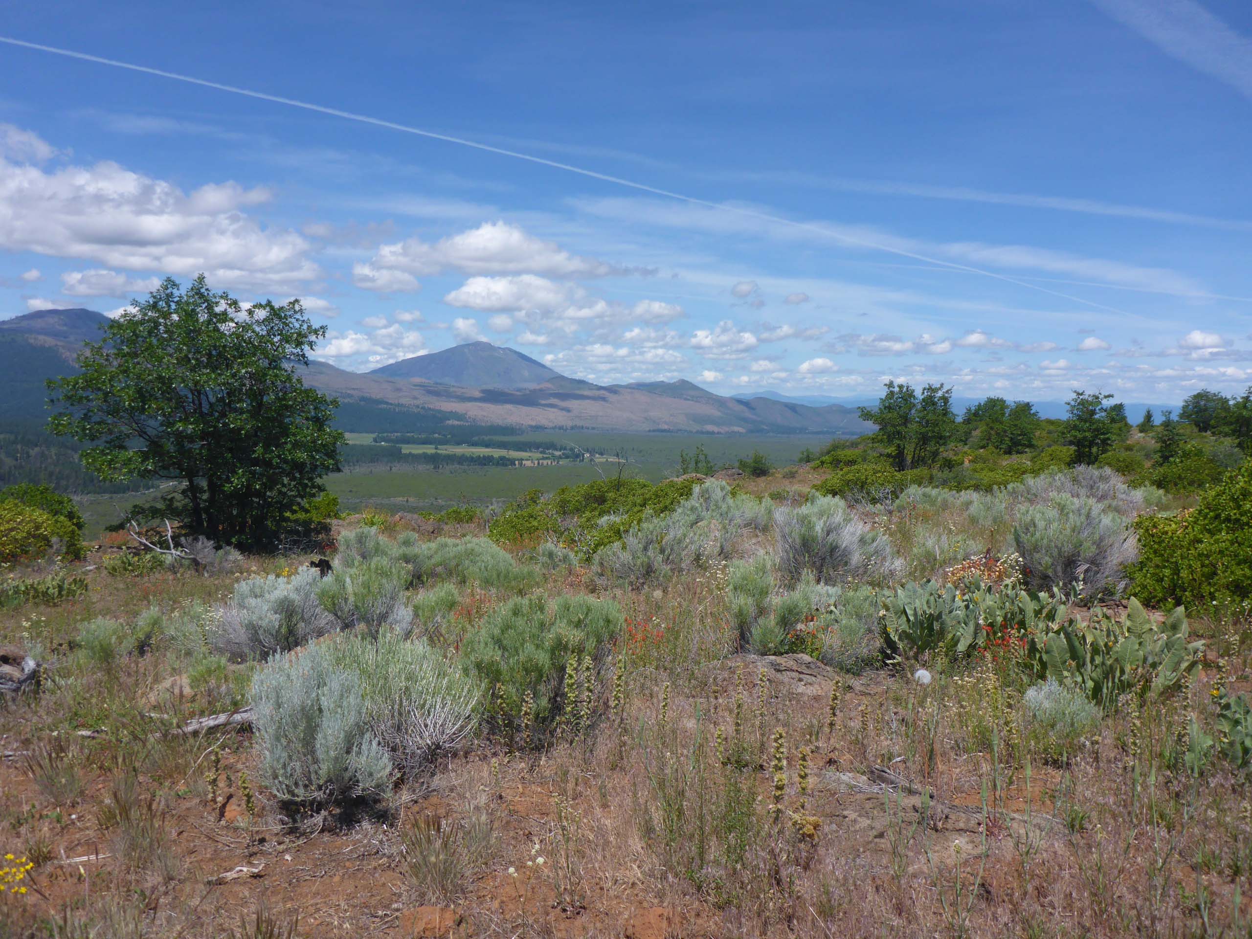
Don and I return to this area most springs to revel in the rock garden-like beauty of the landscape, and to take in the always-exhilarating views.
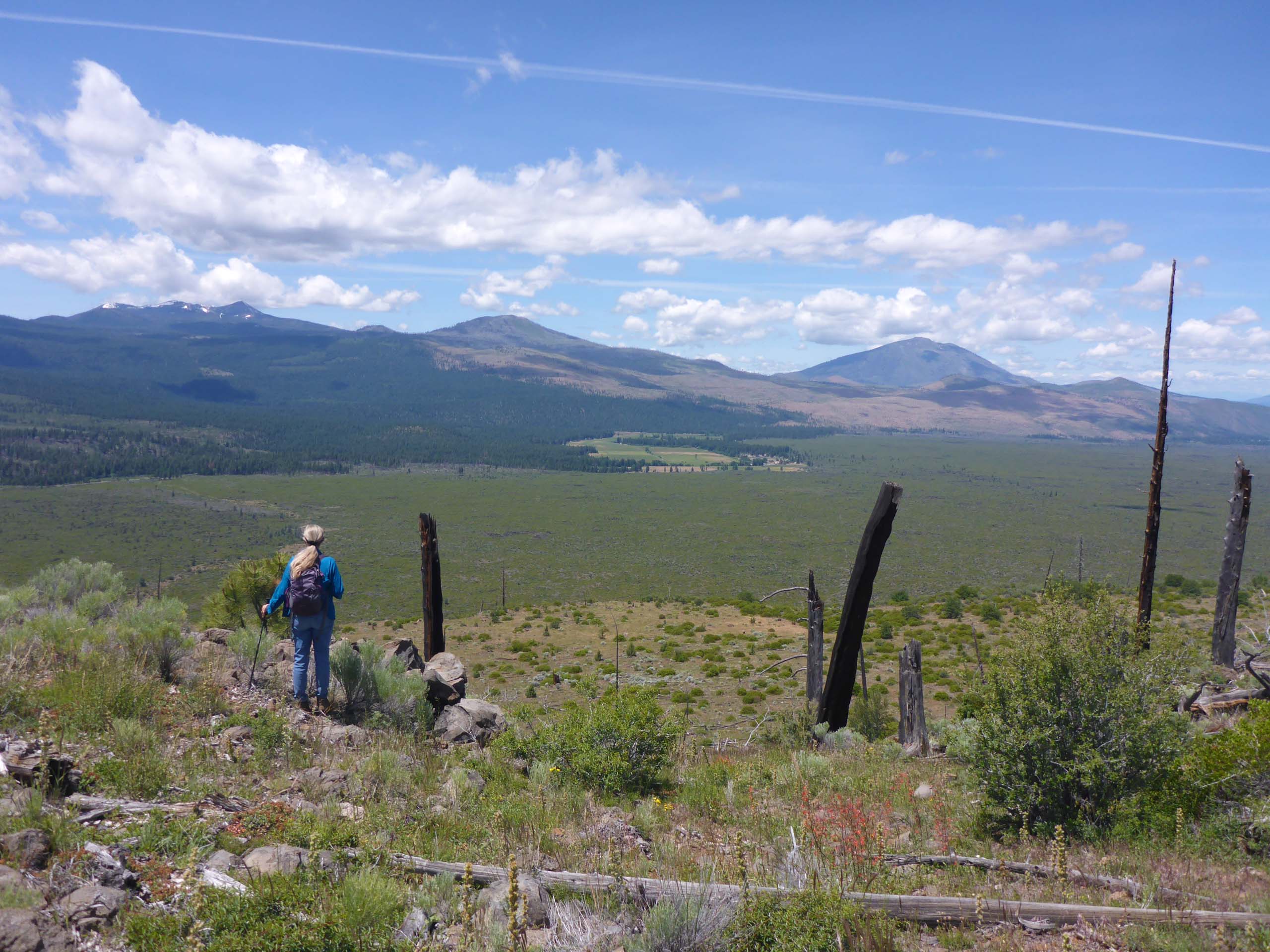
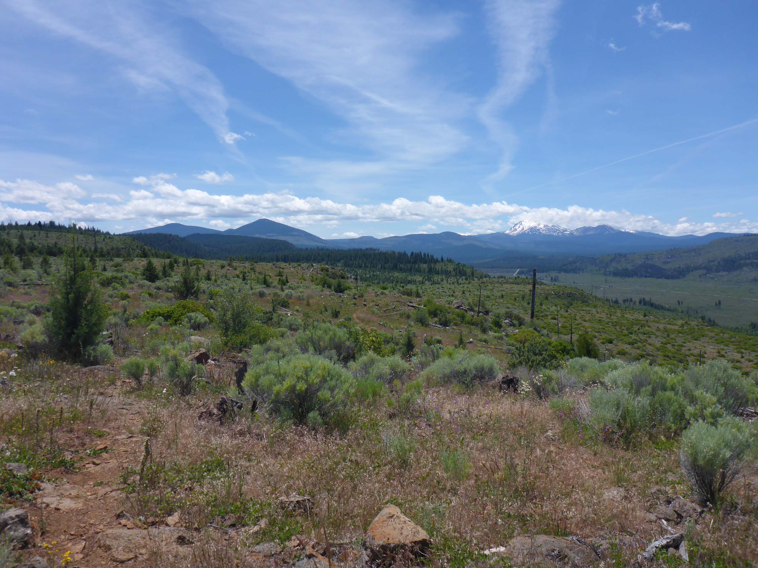
The Hat Creek Rim burned in the 2009 Sugarloaf Fire. Remnants of that fire’s destruction are still visible, but the land appears to be recovering beautifully.
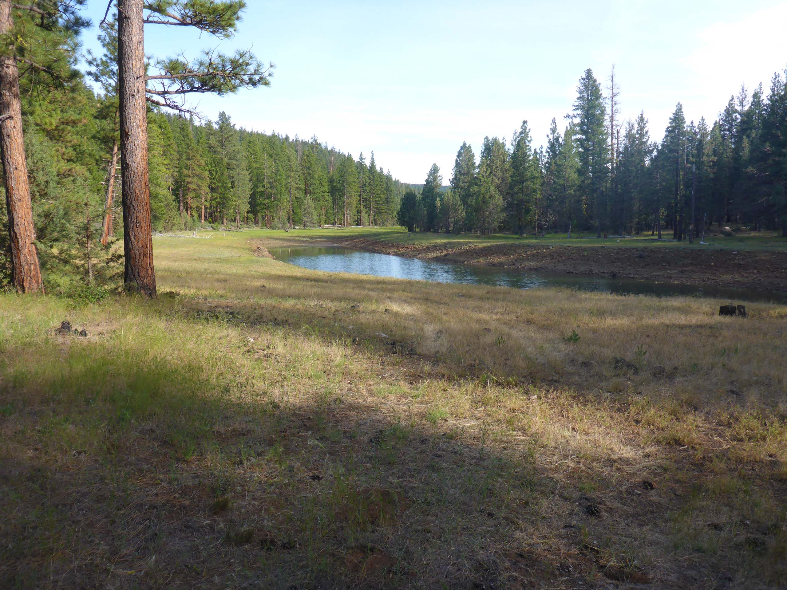
There are several ways to access the PCT on Hat Creek Rim–the easiest probably being from the Vista Point turnout off of Highway 44, just past Old Station. For greater variety in terrain, take Road 34N34 (on the right just after you turn into the Vista Point access road) and drive ~1.7 miles to Plum Valley Reservoir to park.
About 1000 feet of cross-country hiking down the drainage of this reservoir (on national forest land, over a few downed logs and through a loose barbed wire fence), will put you onto the PCT at the bend of a hairpin turn. Go “north” (right). The 3.6-mile leg from this point, which gradually climbs from one plateau to the next, up to the access trail to Lost Creek, is our favorite section. It is a moderately difficult hike due to the rocky footbed. Elevation gain is about 400 feet going in; ~200 feet coming out.
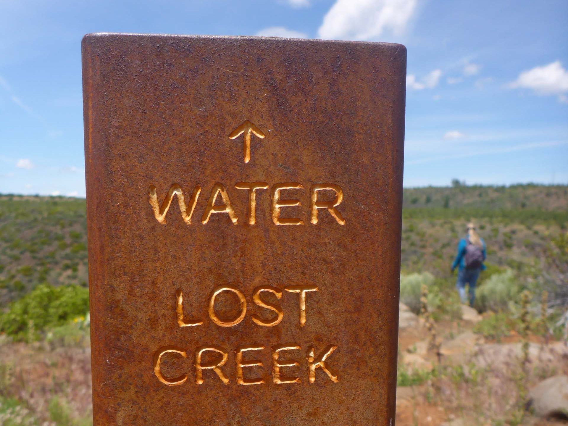
The access trail down to Lost Creek is extremely steep (400 feet in 0.3 miles), sketchy at best, and downright precarious in places. No one in their right mind would voluntarily attempt this trail… which is why we always do!
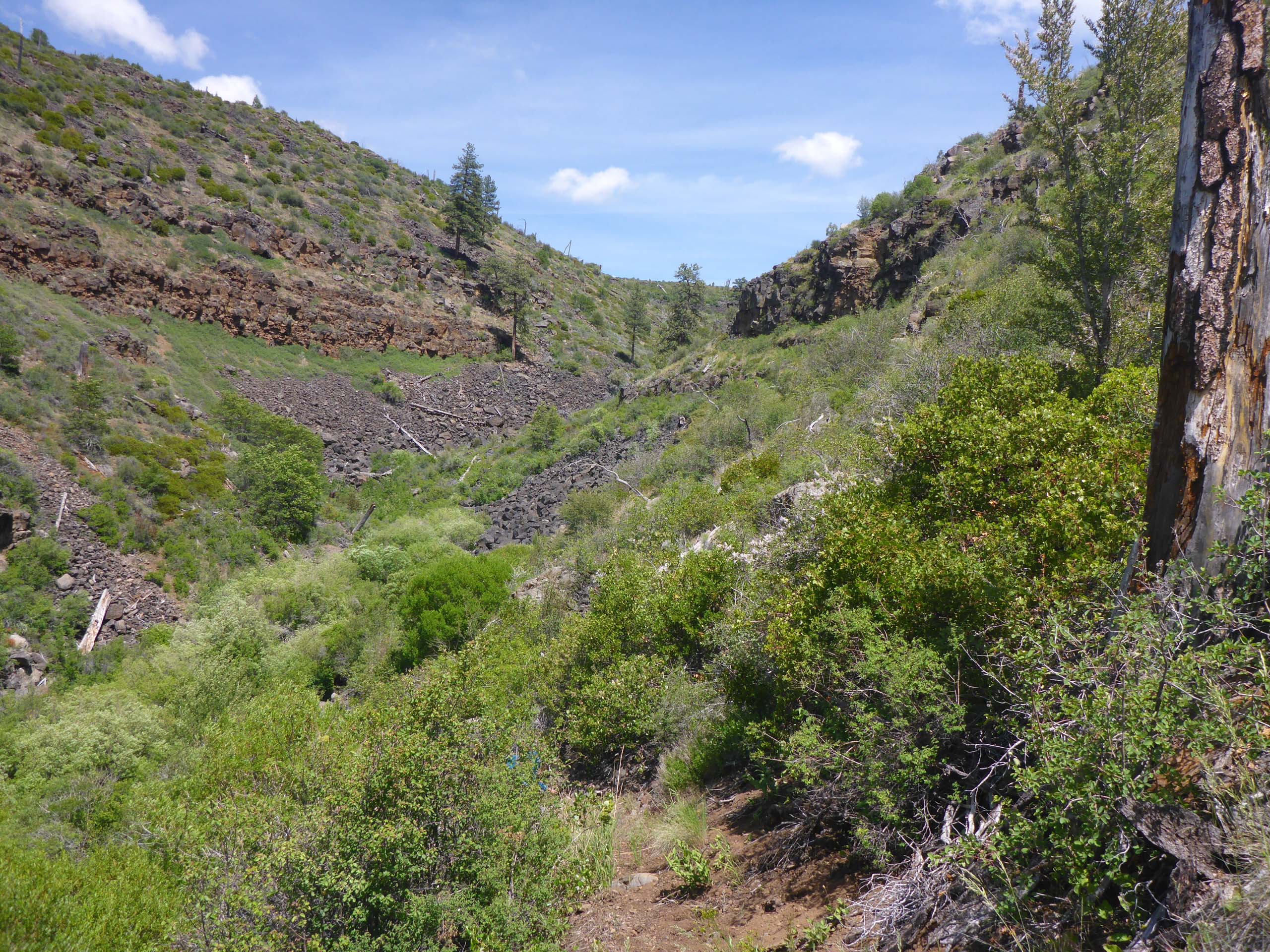
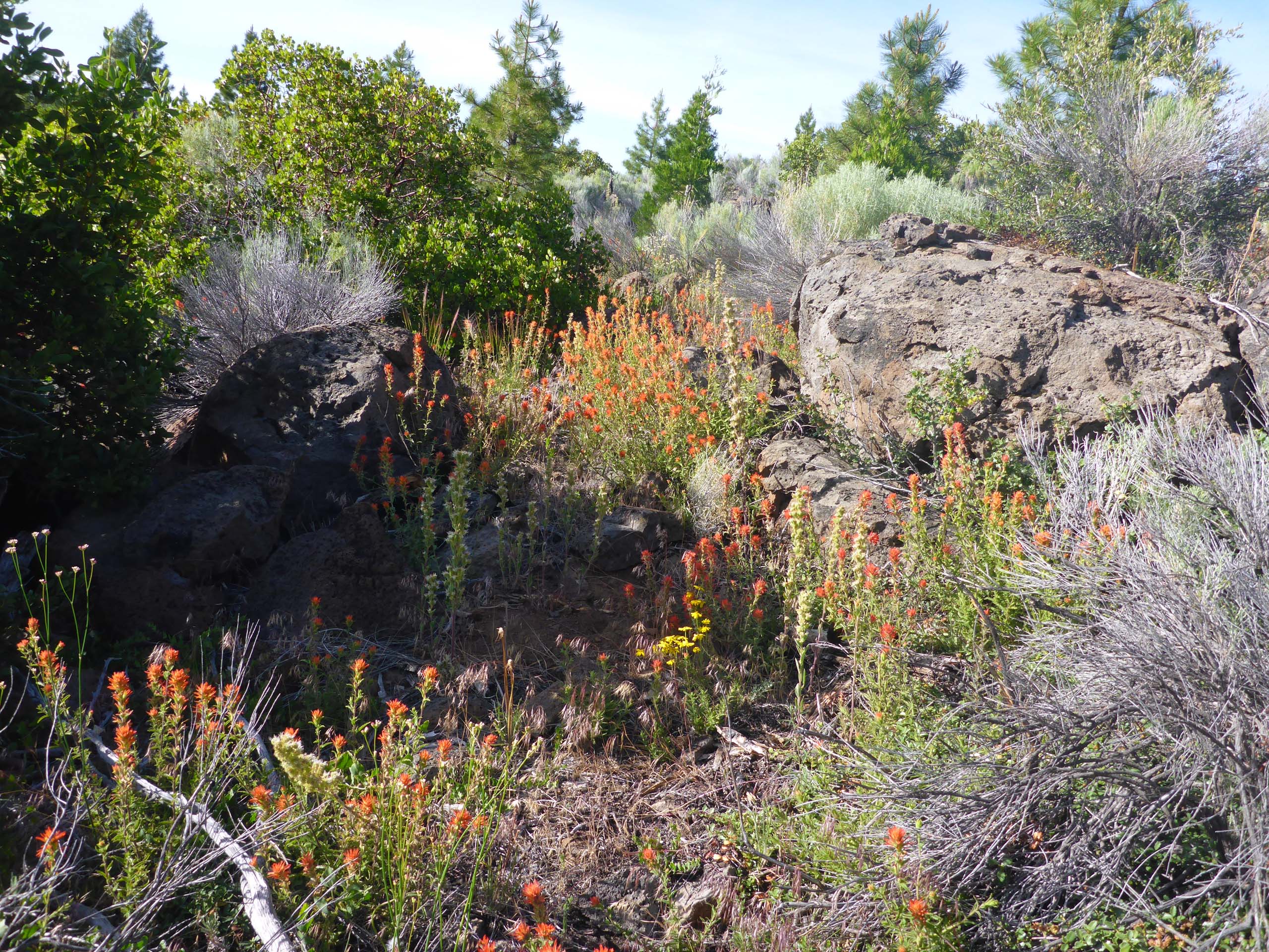
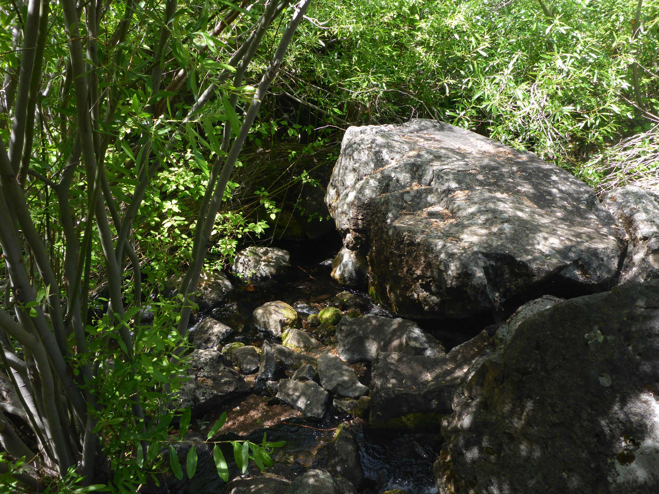
Along this trail grow several species that won’t be seen elsewhere. And at the bottom we are rewarded by a boulder perfect for lunching upon, in the middle of a babbling brook.
While we were a little late for peak bloom, what the hike lacks in botanical diversity, it makes up for in abundance. We counted ~60 species in bloom, but the blossoms were innumerable. Notable prolific bloomers were penstemon, Indian paintbrush, and caterpillar phacelia.
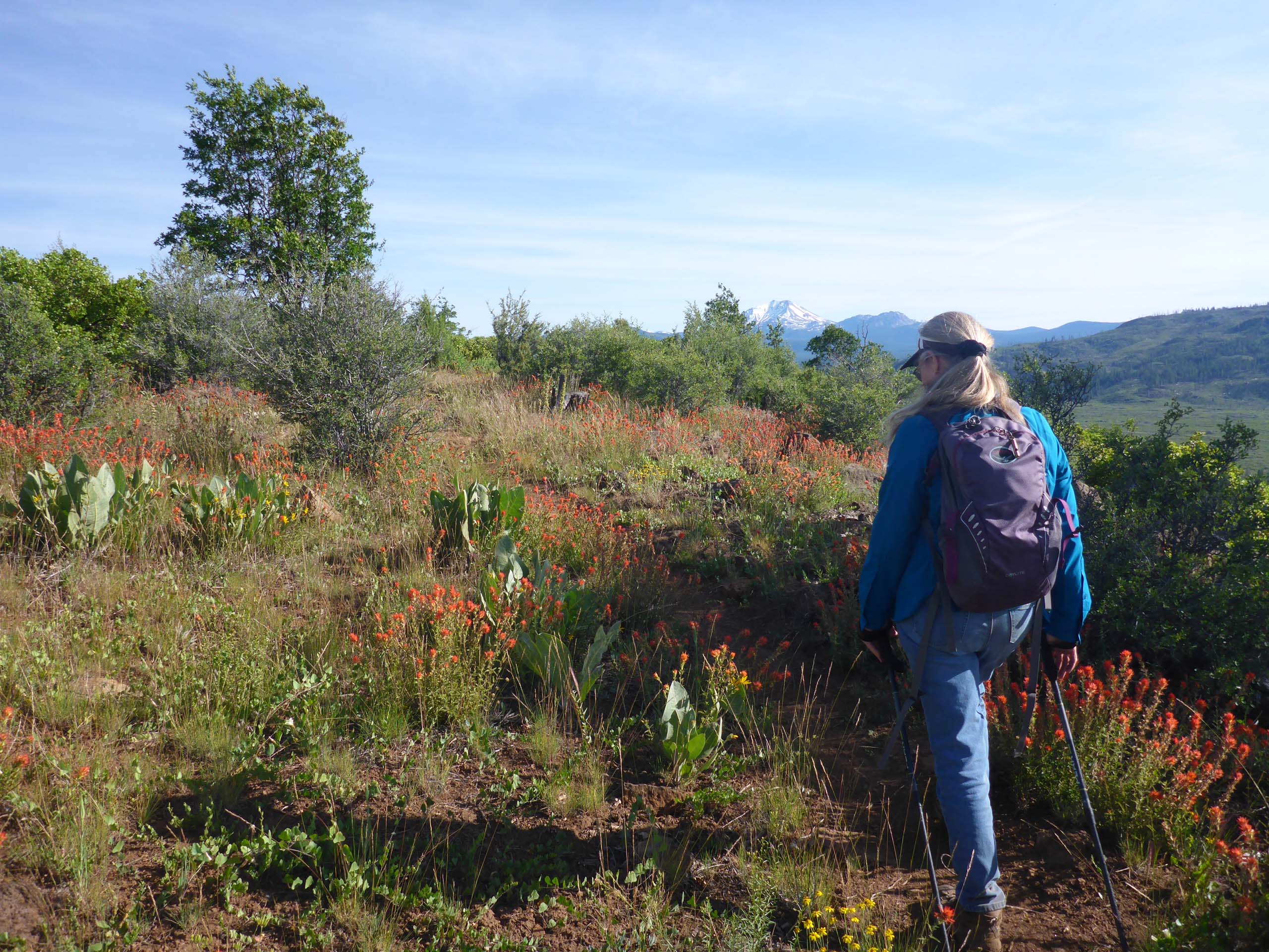
The peak bloom period for this section of the trail is early May through early June; if you are going to go this year, go now before it gets too hot. Bring plenty of water and protection from the sun (hat, sleeves, sunscreen). Remember, there is precious little shade, but there is also almost always a lovely breeze.
Here is a sampling of some of the more fun things that we saw. All photos were taken by Don Burk, on June 14, 2020, in the vicinity of the Pacific Crest Trail on the Hat Creek Rim. Enjoy! -Laurie & Don Burk


