
Plant survey protocols routinely ignored
As Conservation Chair for the Shasta Chapter, I have reviewed the California Environmental Quality Act (CEQA) documents and associated biological studies for many projects that are being considered by local agencies such as Shasta County and the City of Redding. Most of the biological studies for these projects are seriously deficient and often do not follow the procedures set out in the California Department of Fish and Wildlife’s (CDFW) survey protocols for protected plants and animals.
The basic requirements for plant surveys are to review all known occurrences of protected species in the project region to get a feel for what species may be present on the study site and when those species may be identifiable. Then, make three or four visits during the blooming season, surveying parcels in transects, to identify all plants that are present.
Some botanical “surveys” list as few as 12 or 13 plants on a parcel—almost any plant enthusiast could just stand in one spot and identity twice as many plants! Other surveys consist of only one visit to the project site, often in late summer or fall, with October being a popular time. I recently saw a botanical survey that was conducted on one day in December; the timing of the survey guaranteed that no protected plants would be identified. Botanical surveys are also required to state the qualifications of the surveyors and how much time was devoted to the field survey. This important data is often missing. Unfortunately, most of our local City and County Planning Department staff do not know the requirements for surveys and depend on developers to hire professional qualified consultants.
This results in surveys such as one a few years ago where the consultant said the Redding-area project was in the foothills of the Sierra Nevada Mountains (a ~70-mile error!). The same report also said there were no wetlands on the project yet included a photo of cattails and a cottonwood tree, which are obvious wetland indicators. Another report for a project near Manton listed two manzanitas that do not grow in Shasta County. This botanical survey was ultimately rejected due to comments from CNPS, Battle Creek Alliance, and Julie Kierstead. Even more dismaying, in another report the consultant’s list of observed plants included two protected plants that do not grow in or near Shasta County; had this been correct, mitigation would have been required. However, because of my comments, the Redding Planning Department rejected this biological study and another was completed—and the second study was still inadequate, being completed in one visit outside the blooming period.
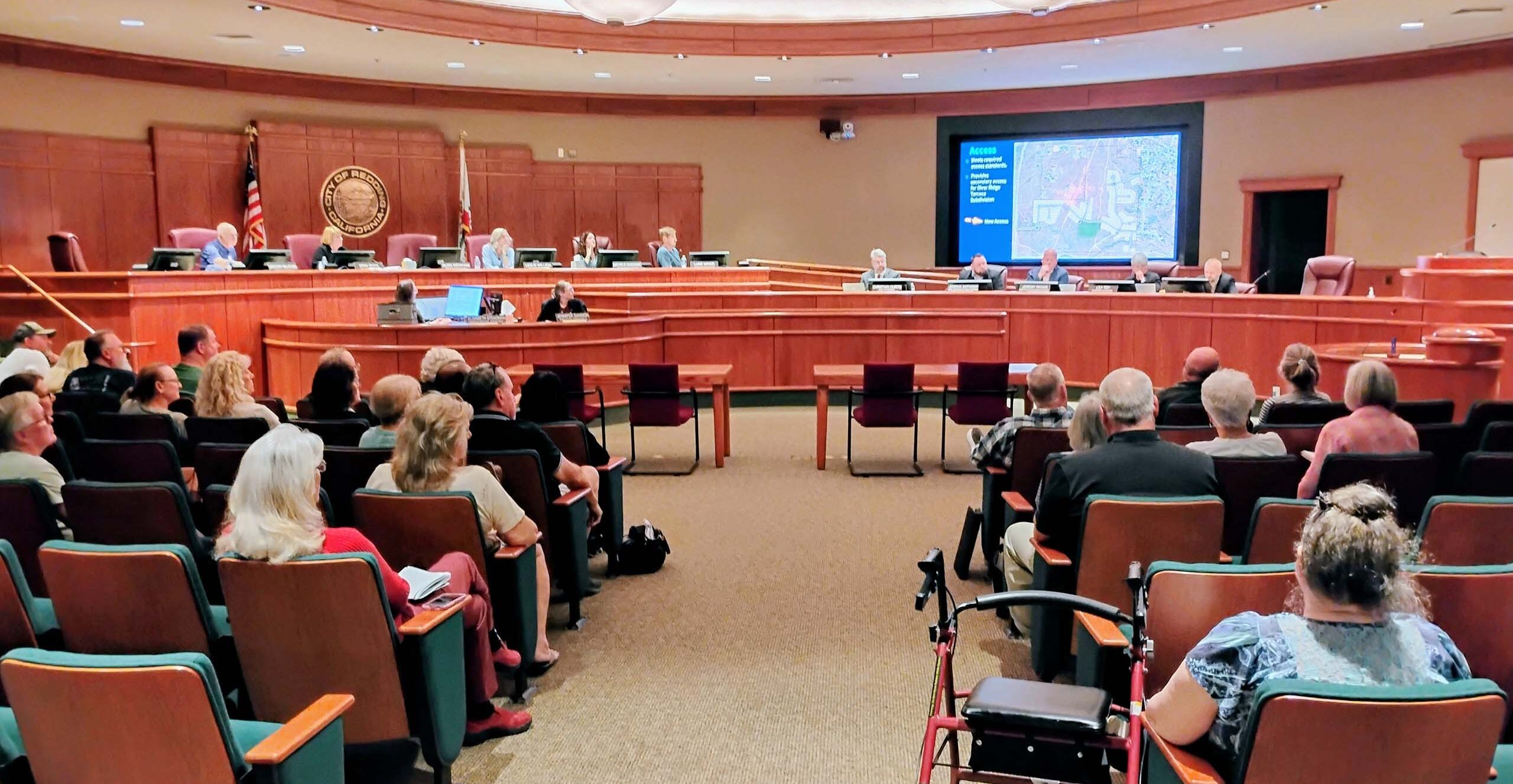
Another frequent problem with local CEQA documents is that they often allow the survey for protected plants to be conducted at a later date, after the project has already been approved. At two Redding Planning Commission meetings, I brought up the issues of plant surveys being completed outside of the blooming period and the City allowing surveys to be deferred until just before construction starts. Appropriately timed surveys are needed to ensure that all protected plant species are identified, and the full surveys must be included in the CEQA documents to provide the required public disclosure. Deferring the surveys and excluding public review provides a strong incentive for an unscrupulous surveyor to not find any rare plants. At the last meeting, City of Redding Development Services Director Jeremy Pagan said he would arrange a separate meeting with me (representing Shasta Chapter CNPS) and several commissioners and/or planners to resolve the issues. Hopefully this meeting will be successful!
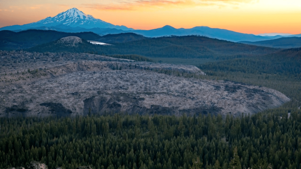
Sáttítla Highlands National Monument presentation
The Shasta Group of the Sierra Club is excited to bring you a presentation on Sáttítla Highlands National Monument, the newest national monument in our area, which was enacted by former President Joe Biden just days before he left office in January of this year. The monument includes Medicine Lake and over 200,000 surrounding acres. This is an important biological area, a source of pristine waters, ancestral lands of the Pit River Tribe, and also important to other Native peoples.
The program will be presented by the Mt. Shasta Bioregional Ecology Center on Wednesday, February 4, at 6 PM, in Shasta College’s Science Building Lecture Hall, Room 1632. It will cover the history of the area and the struggle to get national monument status, as well as future management plans and community involevement.
Speakers will include geologist Nick Joslin, who will talk about the volcanic history and geology of the area. Michelle Berditschevsky, founder of Mt. Shasta Bioregional Ecology Center, will talk about the long struggle to stop geothermal drilling to protect the Medicine Lake aquifer and obtain national monument status for the area. Brandy McDaniels, from the Pit River Nation, will give the background of her Tribe’s connection to the area and the long fight they led to protect the area. The speakers will also discuss the future of management plans for the area and how the public can become involved. There will be a question and answer session at the end.
The presentation venue—Shasta College’s Science Building Lecture Hall, Room 1632—is on the north side of campus near the swimming pool. The lecture hall entrance is on the east side of the building. Park in the north parking lot and make sure to buy a $2 parking pass at one of the yellow machines in the parking lot so you don’t get a ticket. This event is (otherwise) free!
Join us for a fascinating talk by those who have intimate knowledge about the area and the long battle to obtain national monument status. Whether or not you are already familiar with the area, you are sure to learn more about the importance of protecting Sáttítla Highlands National Monument.
Should you have questions on the above, please email David Ledger at dsledger49@gmail.com or sierraclub.shasta@gmail.com.
CNPS sues Sacramento County over approval of solar farm
The California Native Plant Society and the Environmental Council of Sacramento have filed suit against the County of Sacramento for its recent approval of the Coyote Creek Agrivoltaic Ranch Project. The organizations cited numerous deficiencies in the project’s Final Environmental Impact Report, and warned county officials ahead of the November 18, 2025, Sacramento County Board of Supervisors vote that the report “is so deeply flawed that it is insufficient to support informed decision-making.”
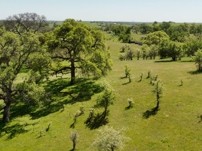
The solar project will encompass over 1400 acres of oak woodlands, grasslands, wetlands, and vernal pools, resulting in the removal of 3,493 trees. One of these trees is an oak with a 67-inch diameter at breast height and is estimated to be 850 years old. Mitigation required would be planting one oak sapling for every tree removed, which means it will be several hundred years before the loss of carbon sequestration is replaced, not to mention the loss of habitat for wildlife and plants. In restoration projects, there is a high failure rate of oak trees growing to maturity due to drought, animal browsing, and disease. You can read the article on the CNPS website, here: New Lawsuit Challenges Sacramento County’s Coyote Creek Decision.
A similar project on a much smaller scale is happening near Manton. This is a solar farm on 25 acres with 14 acres of blue oak woodland, for which the County’s mitigation requirements would consist of planting one tree for every two blue oaks removed. However, the issue could even be much larger than this as there are unverified reports of various owners in the area being approached about leasing their land for solar farms. The solar company, RPCA Solar LLC, will be spending considerable money on infrastructure to connect this first solar project to PG&E high voltage power lines, and it would make economic sense to connect other solar projects.
After commenting on the Manton project, I received numerous emails and a few phone messages from RPCA Solar LLC asking if they could answer any questions I had about the project. I finally talked to them by phone and said the only question I had was how many other solar projects in the Battle Creek Watershed they had under contract and/or were pursuing. Their representative said she didn’t know and would have to get back to me. Little surprise, their representative who wanted to answer any questions I had never did provide an answer.
~David Ledger, Conservation Chair