Canyon Creek Lakes in the Trinity Alps Wilderness is such a popular backpacking destination that, in peak season, one will find the huge trailhead parking area packed, and even more cars parked all along narrow Canyon Creek road for a mile or more. For those of us who value solitude, these crowded conditions are very off-putting!
Fall, however, is typically a slower season in the Trinities, so we thought we’d give it a shot and headed into the mountains. Canyon Creek Trailhead is at the very end of the narrow but entirely paved Canyon Creek Road, which comes off of Highway 299 at Junction City.
We were rather dismayed (and shocked!) to see over 20 cars there on this mid-October Sunday morning! Nonetheless, we headed up the trail and, not surprisingly, encountered several groups of backpackers hiking out. However, the farther in we got, the fewer people we passed, often leaving us with the illusion that we had the trail to ourselves.
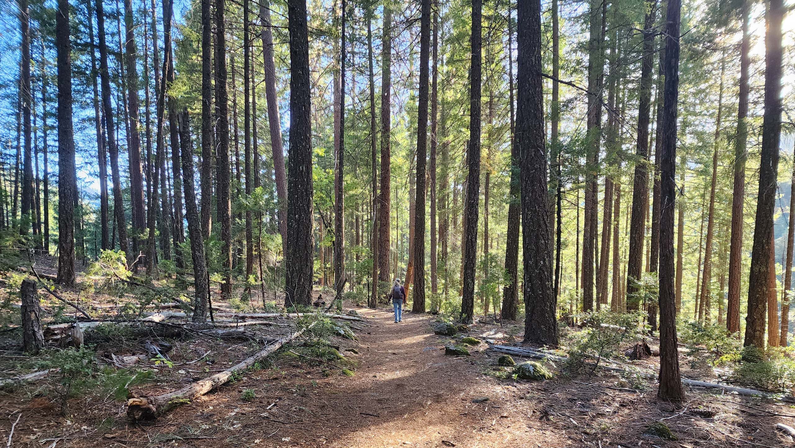
Photo taken October 19, 2025, by Don Burk.
It had been ~40 years since we hiked here last—backpacking with friends to Canyon Creek Lakes. But for a day trip, the lakes were too far for us—8 miles, with the last bit noted as a “scramble”—so we set our sights on two closer destinations: The Sinks, and maybe Canyon Creek Falls, ~3 and 4 miles in, respectively.
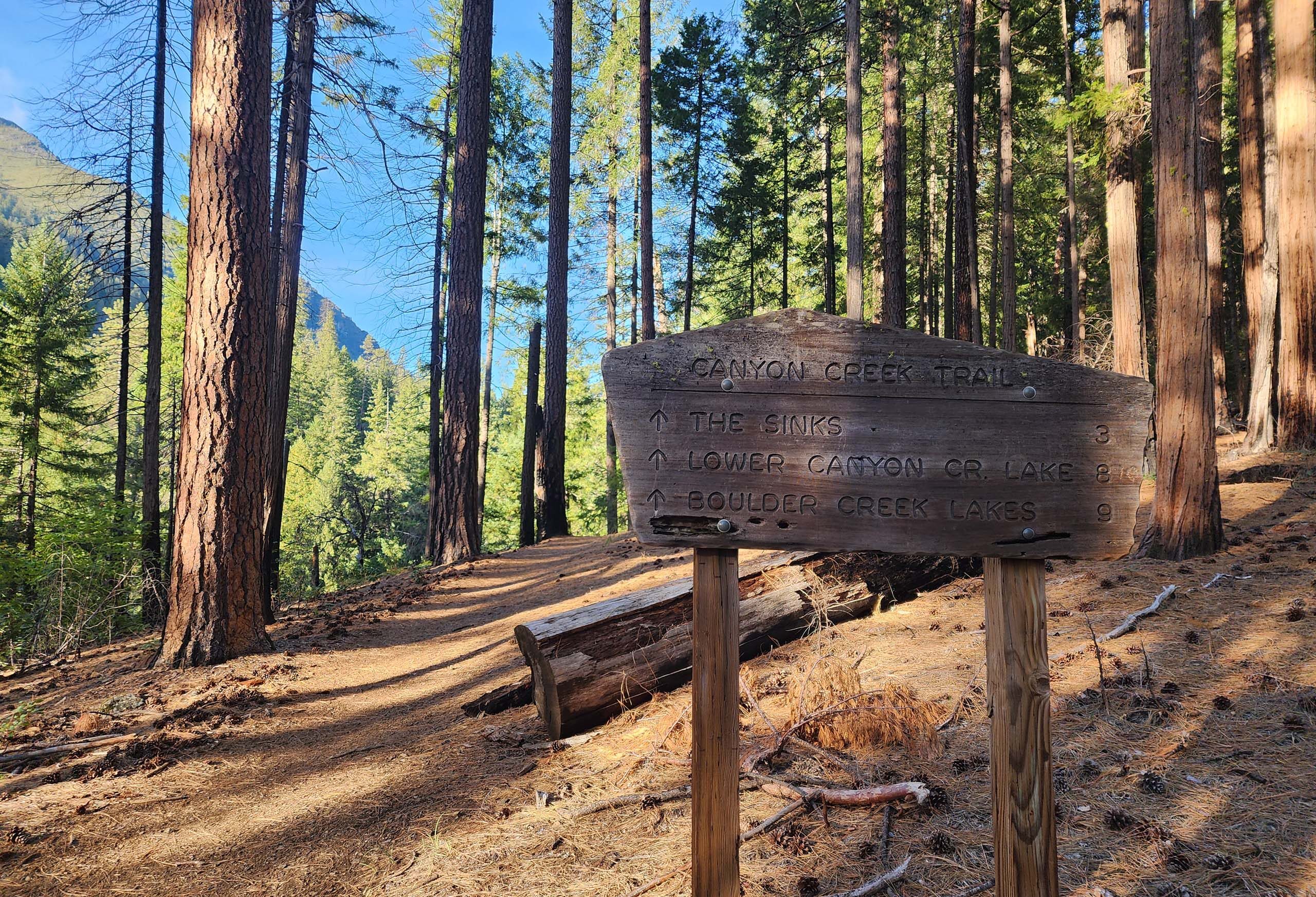
The main trail from the trailhead branches very soon into two trails: Canyon Creek to the left and Bear Creek to the right. We took the left branch, Canyon Creek Trail, crossing Bear Creek within a very short distance, and then climbing over a low ridge to get into the Canyon Creek drainage.
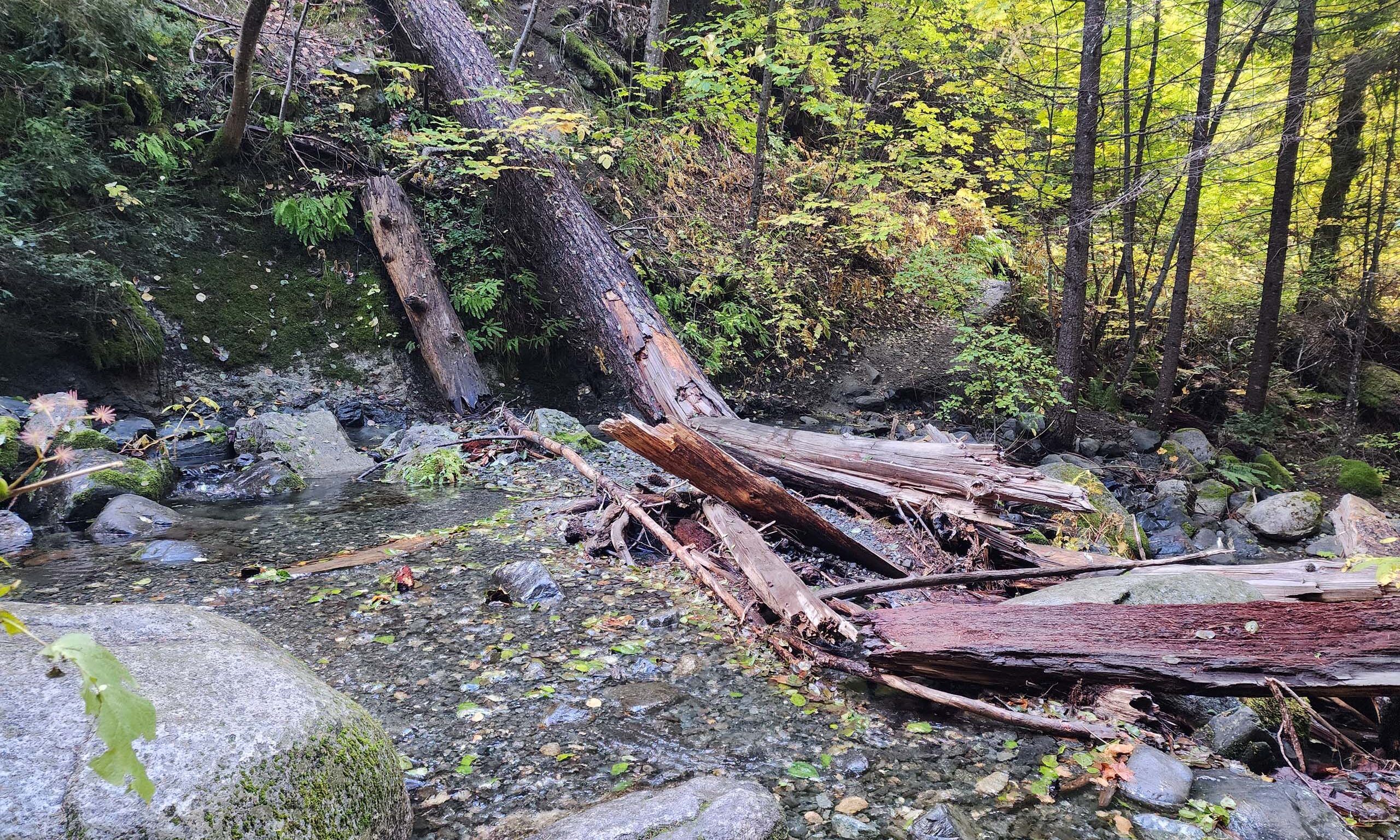
From here, the trail generally follows Canyon Creek upstream, but stays for the most part far above the creek. While the creek was full and rushing, and always easily heard, we very infrequently were able to glimpse the water through the tree canopy.
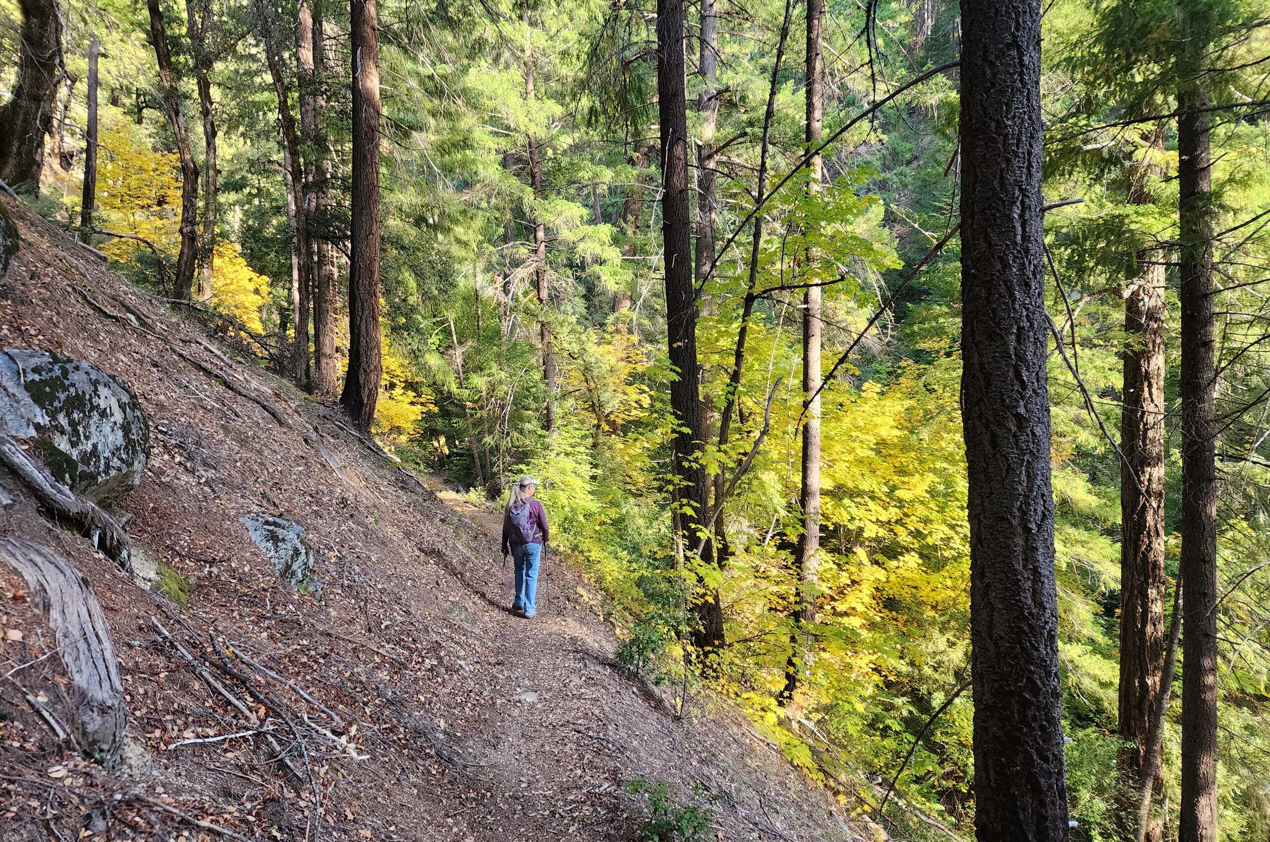
Photo taken October 19, 2025, by Don Burk.
Indeed, this first section of trail is quite forested, limiting views to one’s immediate surroundings.
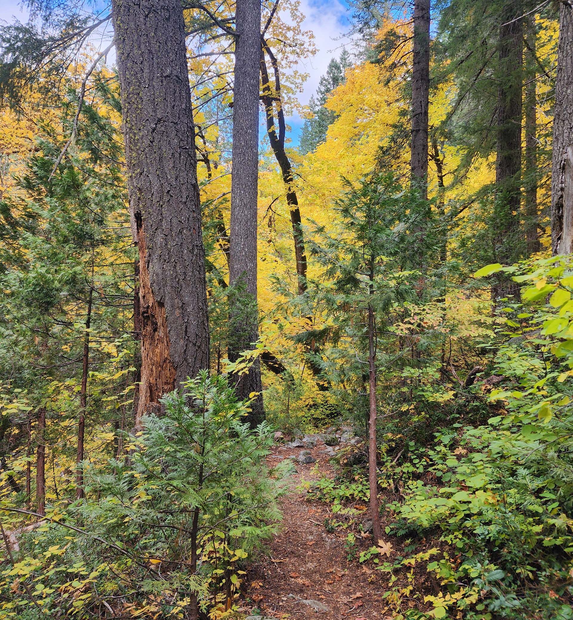
Photo taken October 19, 2025, by Don Burk.
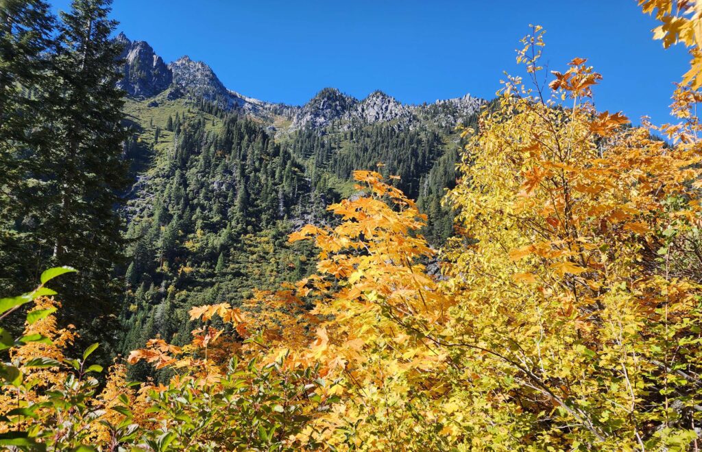
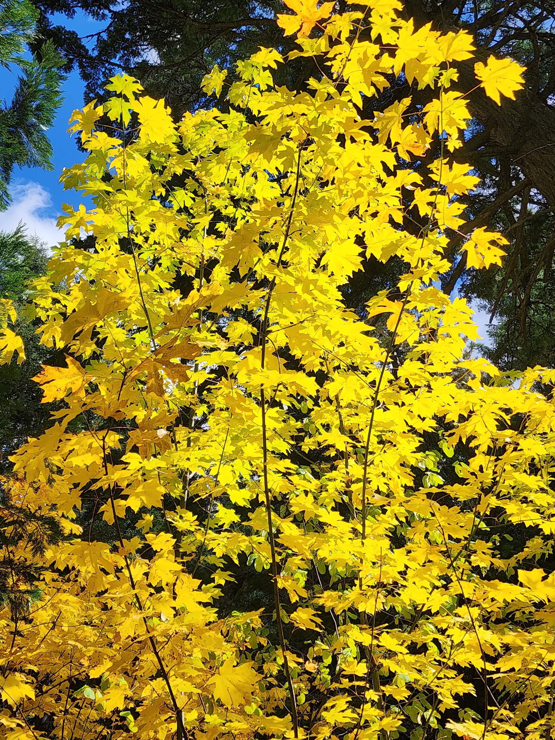
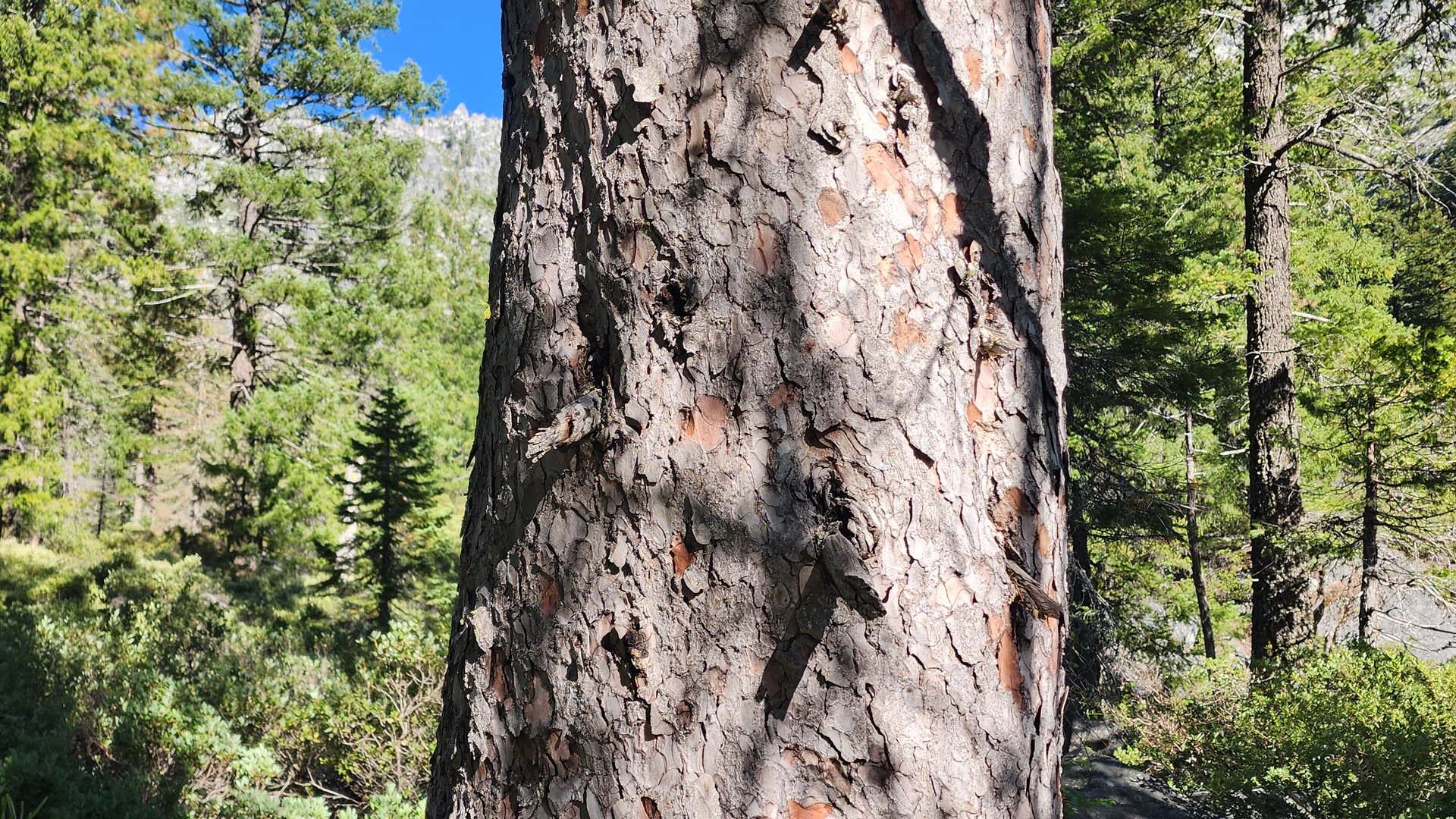
But such cool surroundings! Fall colors graced the big-leaved maples, especially, as well as some of the dogwoods, providing splashes of color against the deep green coniferous forest, consisting of Douglas-fir, white fir, incense-cedar, and ponderosa pine.
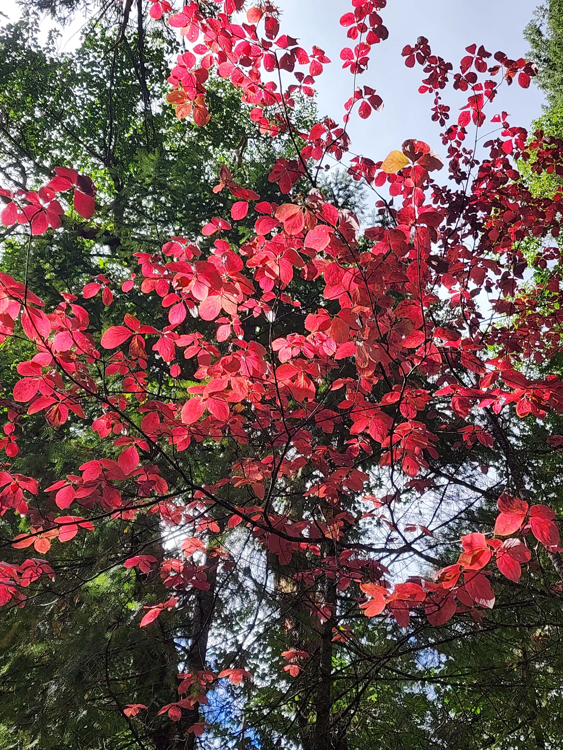
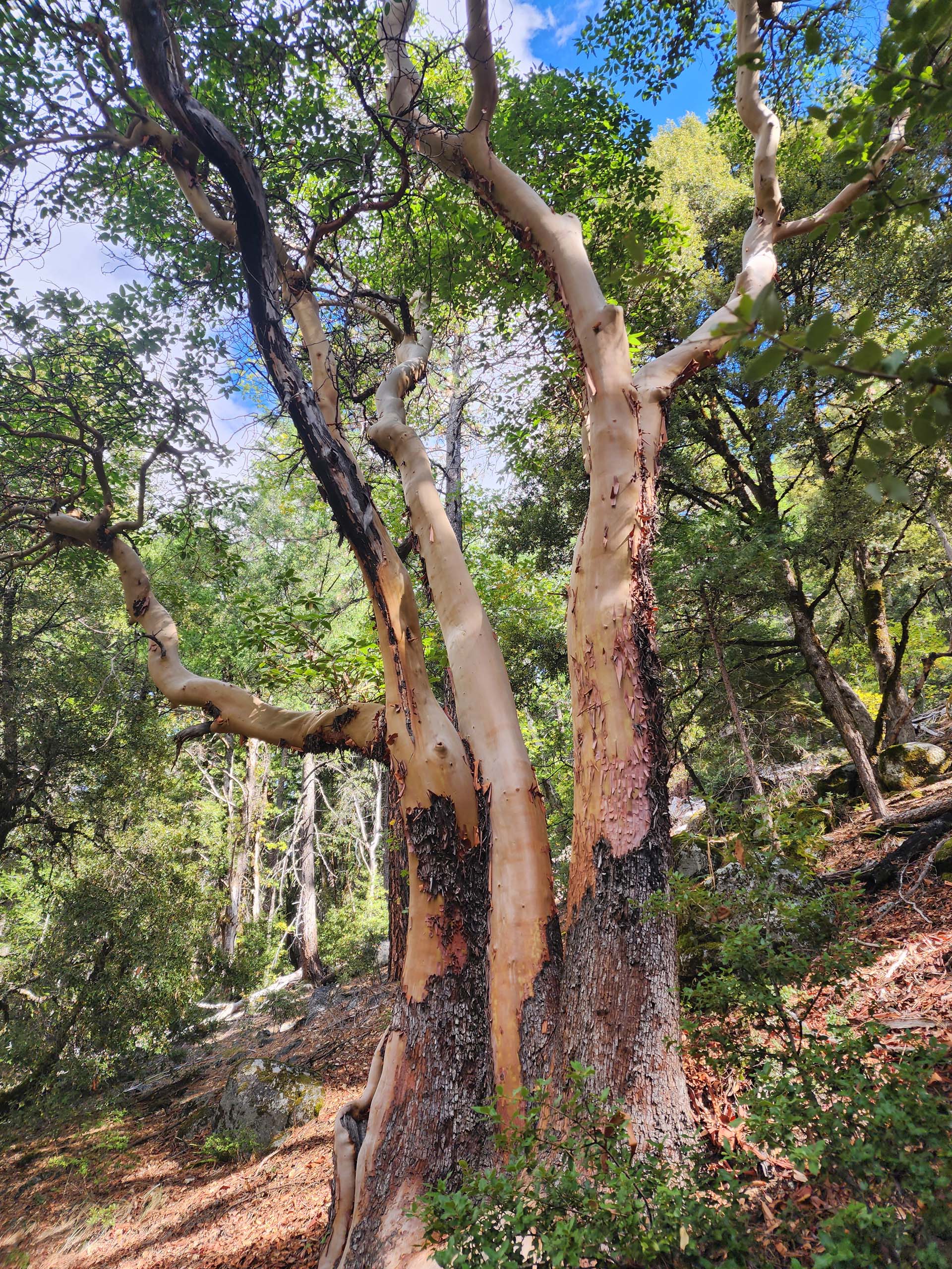
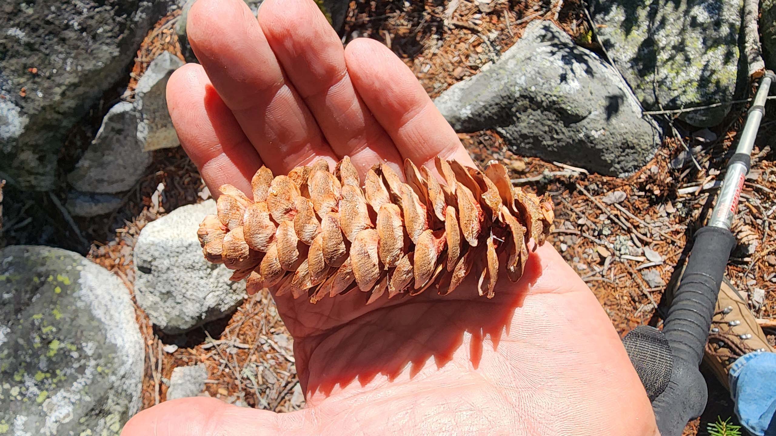
Hardwoods other than big-leaved maple included madrone, black oak, and canyon live oak. Understory color was provided by dogwood, hazelnut, and rose, amongst which grew many different ferns (polypody, Indian’s dream, gold-back, bracken, and a couple species of sword).
This beautiful landscape continues all the way to The Sinks, about three miles in, which are accessed via a well-marked side trail. Apparently, The Sinks is a rockslide that covered Canyon Creek, so that, in low-water seasons, the creek seems to disappear for a distance of perhaps as much as a quarter of a mile before resurfacing.
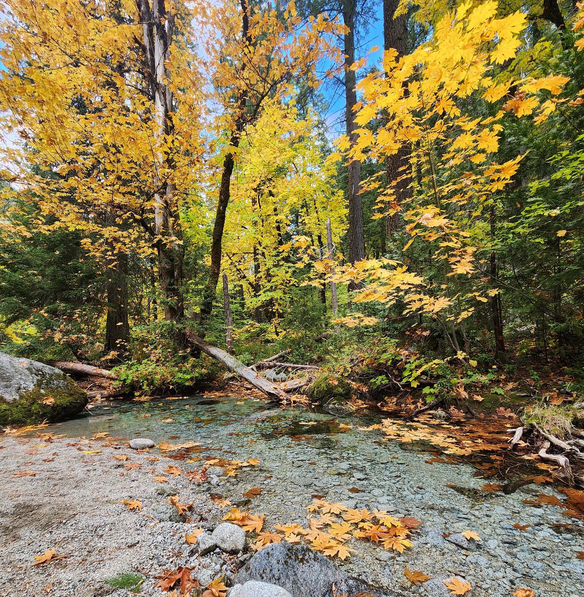
Photo taken October 19, 2025, by Don Burk.
However, we didn’t know this until we got home and did some research, and found that we actually missed them. We would have had to hike a little farther upstream to see if the creek really did go underground. Instead, we stopped on the creek bank for lunch and to consider whether or not to head back.
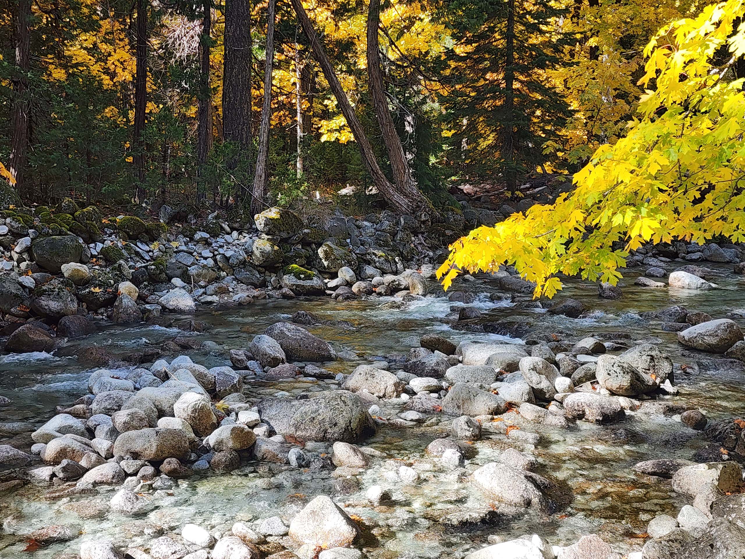
Photo taken October 19, 2025, by Don Burk.
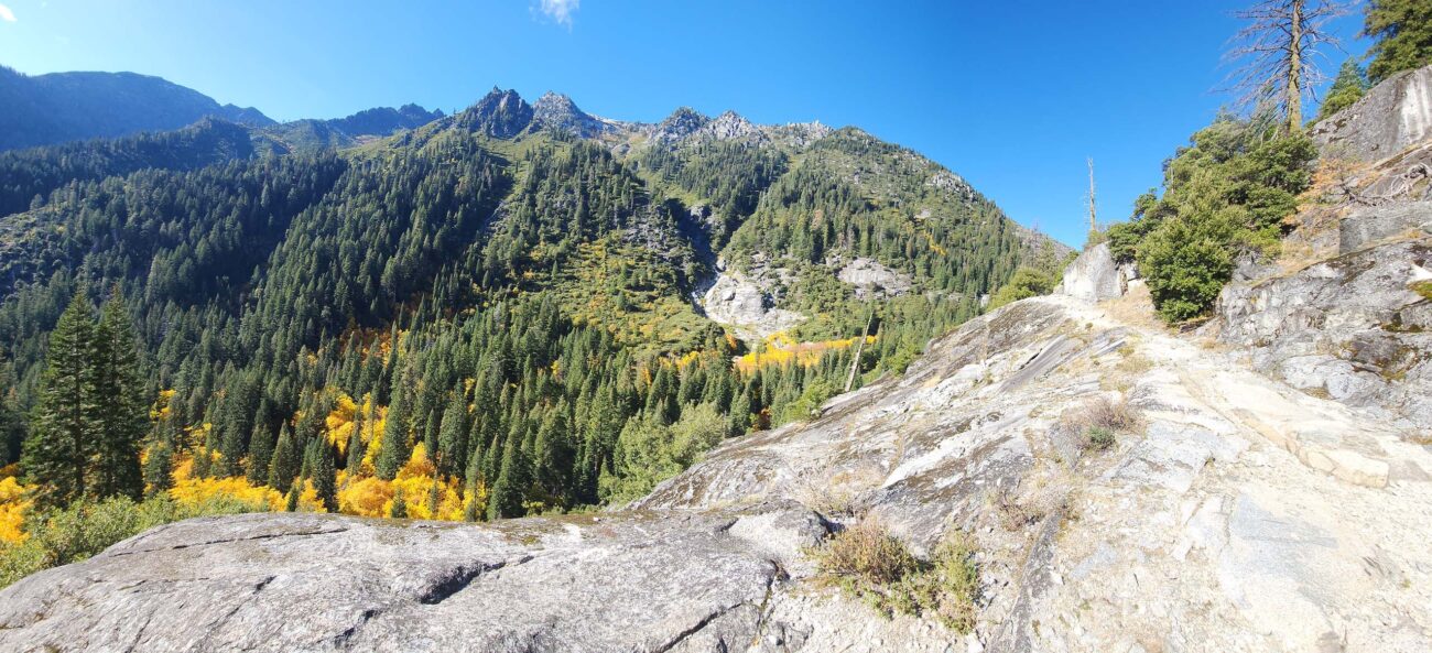
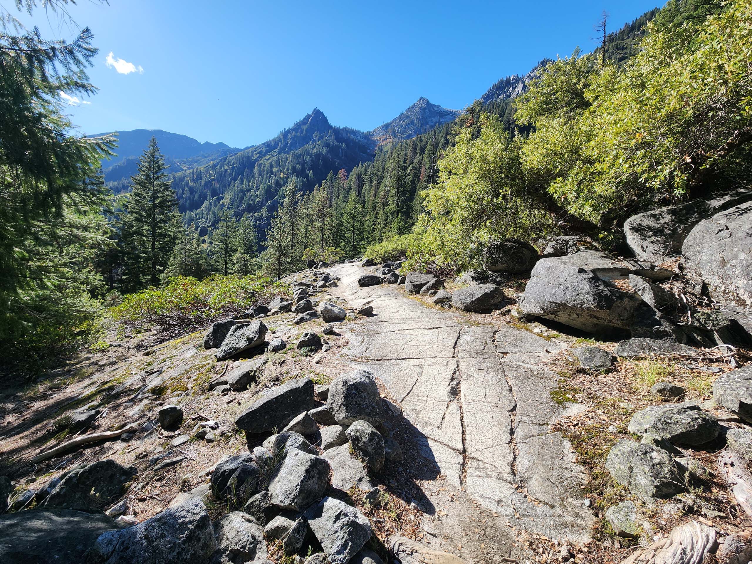
We decided to continue on to see the falls—what a great decision that turned out to be! From the turnoff to The Sinks, the trail becomes markedly steeper, rockier, and more difficult—but the views! Wow! These mountains are so aptly named! Ragged peaks scrape the sky, still patched with snow and running with melt… absolutely, gloriously breathtaking!
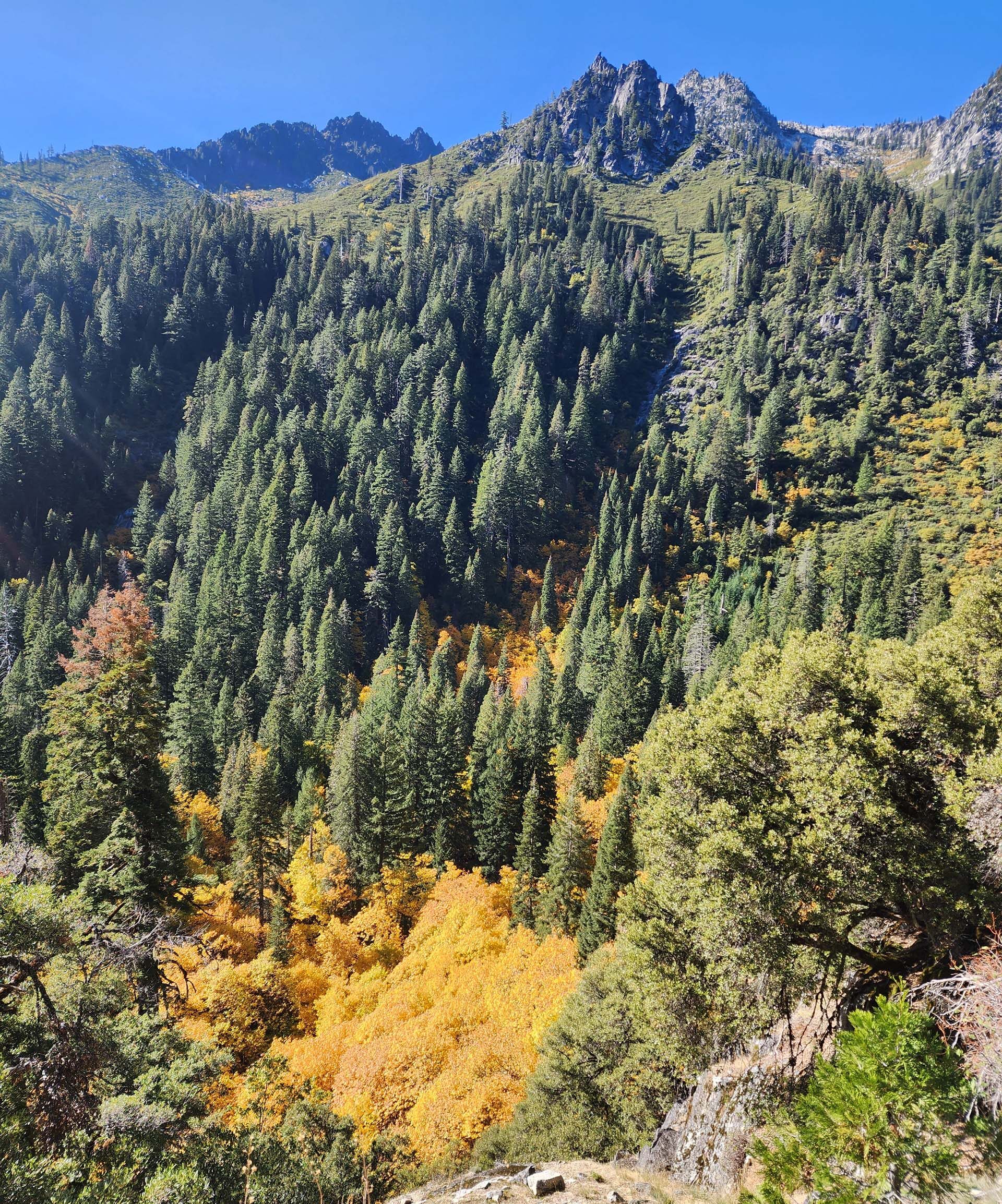
Photo taken on October 19, 2025, by Don Burk.
Had we decided to turn around, not only would we have missed views that are only barely hinted at on the first three miles, but we also would have missed the change in vegetation as the trail climbs above the trees into expanses of exposed granite.
Here, warmer and drier conditions prevail to support manzanita, tobacco brush, grasses, huckleberry oak, and lip ferns. From here also is the only trail view of Canyon Creek Falls.
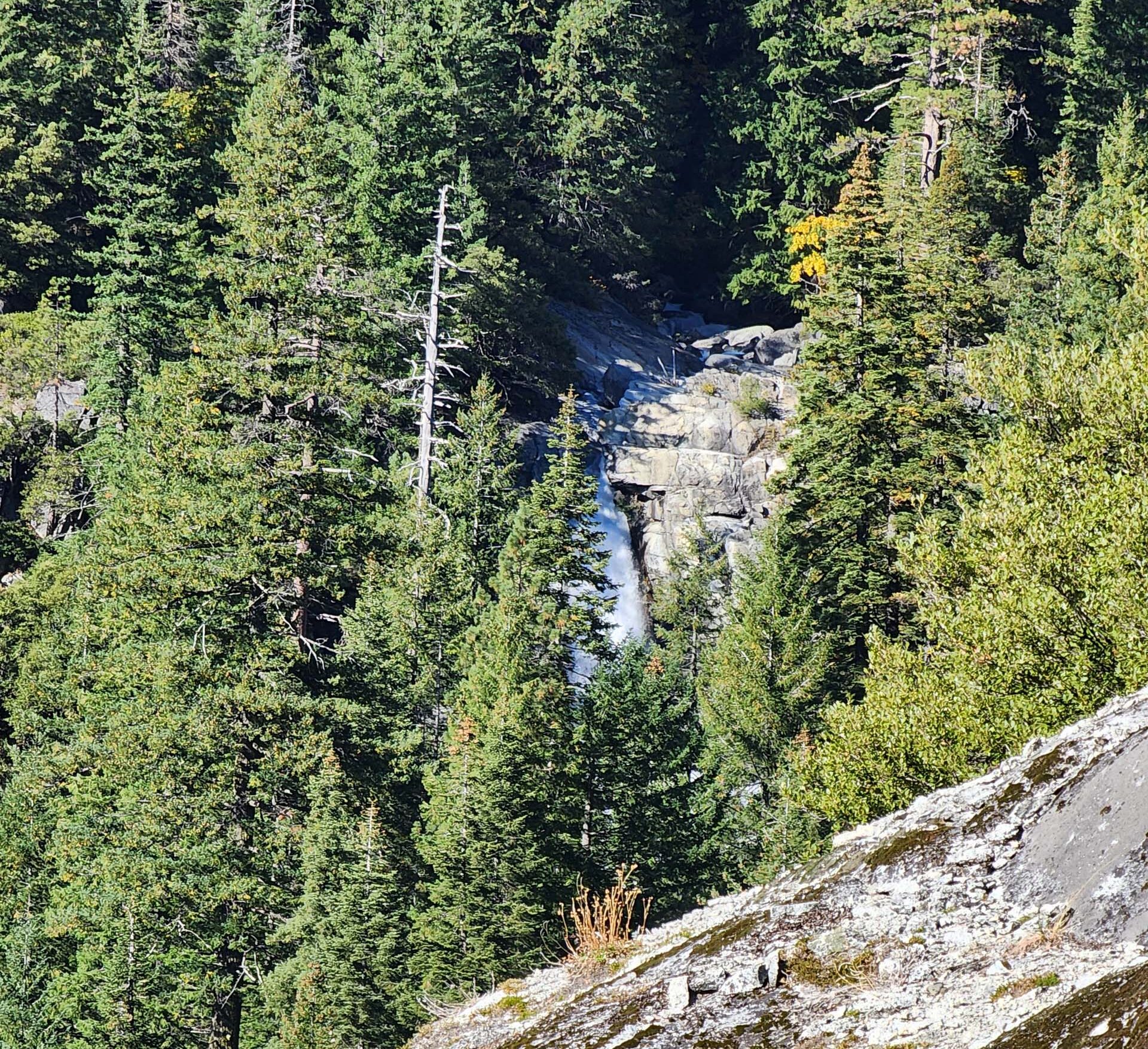
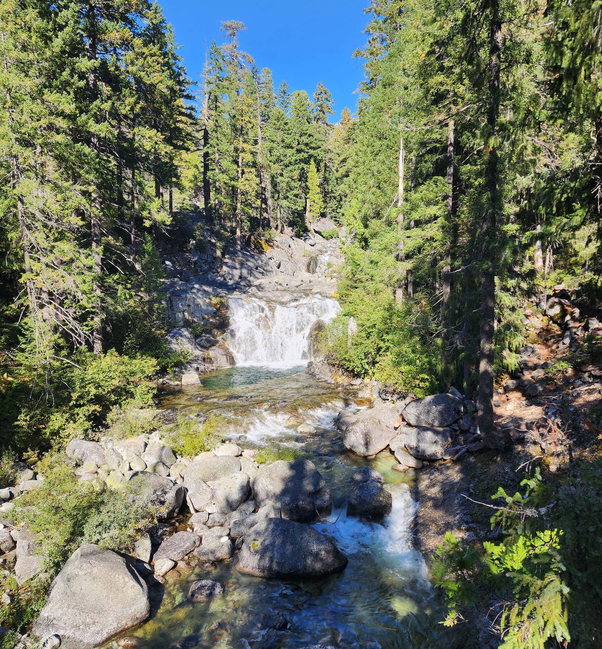
As the trail got closer to the creek, to where it nearly overlooked it, at about mile four, we came to a cascading falls that we mistook for Canyon Creek Falls. Like The Sinks, we didn’t realize until we got home that we had overshot a side trail that would have taken us to see the falls. However, these unnamed cascading falls were so gorgeous that we weren’t disappointed in the least.
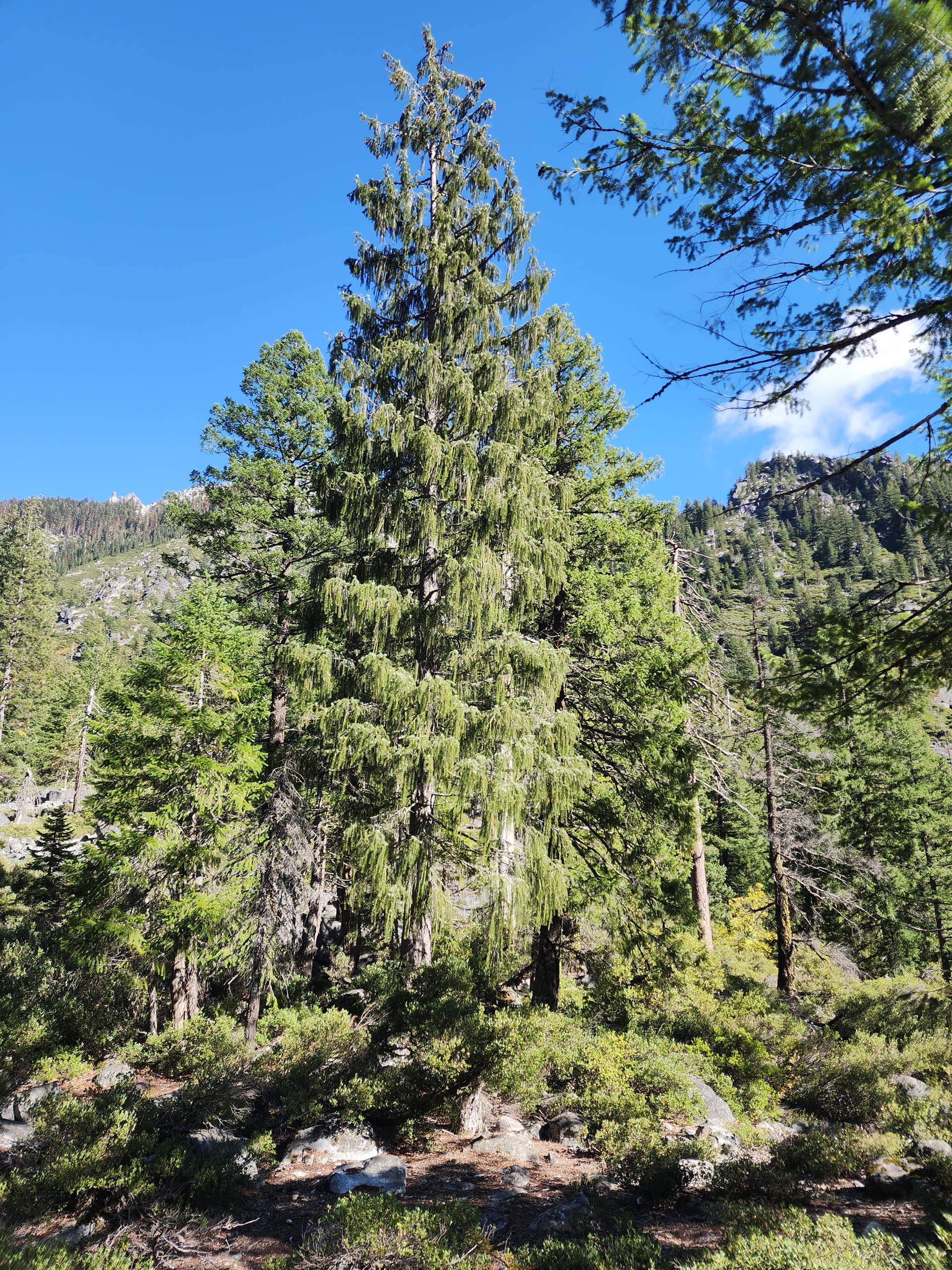
Not only were the falls spectacular, but we were also excited to find Brewer’s spruce (Picea breweriana) growing here. According to Wikipedia, Brewer’s spruce (AKA weeping spruce) is one of the rarest conifers on our continent, growing in only a small area, mostly here in northern California, but also ranging just into southern Oregon.
Flower-wise, we saw exactly three species sporting a bloom or two: phlox, goldenrod, and hawkbit. But we didn’t come for the blooms. We came for the autumn colors, which did not disappoint. Go now for even deeper colors, before leaves fall, and stay for thrilling views! ~Laurie & Don Burk