Notice: Function _load_textdomain_just_in_time was called incorrectly. Translation loading for the anther domain was triggered too early. This is usually an indicator for some code in the plugin or theme running too early. Translations should be loaded at the init action or later. Please see Debugging in WordPress for more information. (This message was added in version 6.7.0.) in /home3/shastacn/public_html/wp-includes/functions.php on line 6114

Notice: Function _load_textdomain_just_in_time was called incorrectly. Translation loading for the anther domain was triggered too early. This is usually an indicator for some code in the plugin or theme running too early. Translations should be loaded at the init action or later. Please see Debugging in WordPress for more information. (This message was added in version 6.7.0.) in /home3/shastacn/public_html/wp-includes/functions.php on line 6114
Salt Creek Loop Trail, Whiskeytown NRA, February 21, 2021

Salt Creek Loop Trail, Whiskeytown NRA, February 21, 2021

Salt Creek five years ago. D. Burk.
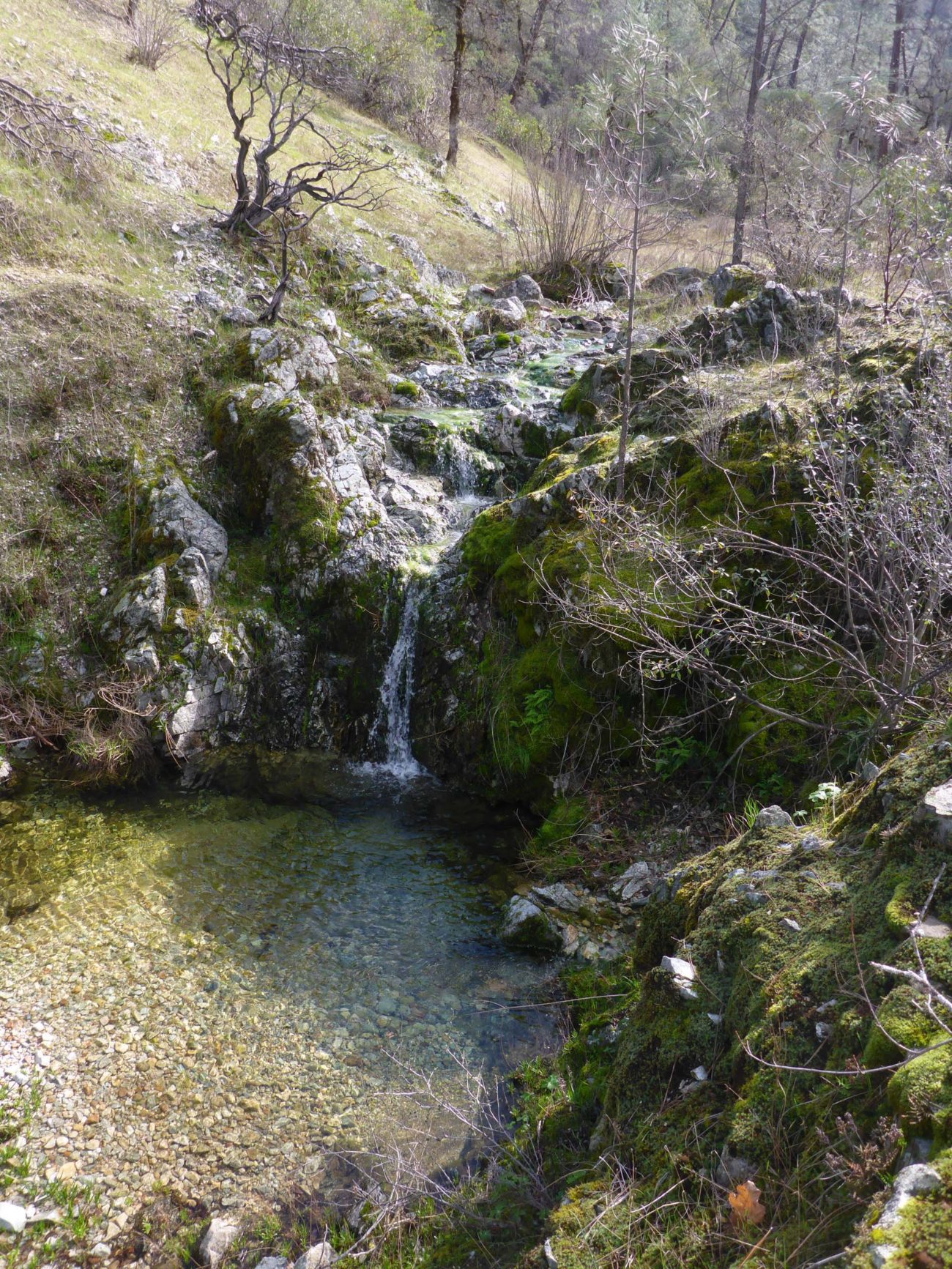
The upper reaches of scenic Salt Creek, Whiskeytown NRA, can no longer be accessed via Salt Creek Loop Trail without a lot of bushwhacking. This photo was taken exactly five years ago, February 21, 2016. Photo by Don Burk.

Well, this will be a short write-up. Salt Creek Loop Trail in Whiskeytown National Recreation Area (NRA) is no longer a loop trail; ~2/3 of the most interesting section is now basically inaccessible due to fire and lack of maintenance. The National Park Service even refers to “remnants of the old Salt Creek Loop Tail,” which makes us think that there are no plans to restore this trail. ‘Tis a pity, because the section that is worst is the prettiest and most interesting, following along rocky Salt Creek, with its lovely pools and waterfalls.
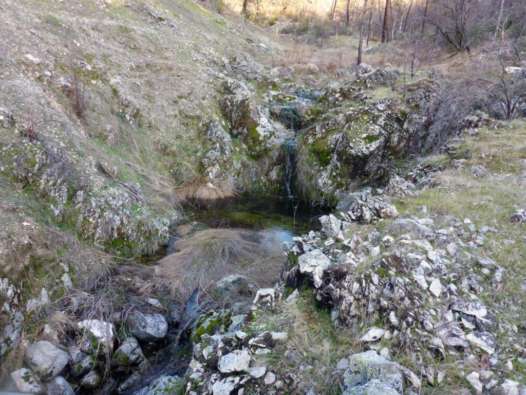
Salt Creek. D. Burk.
Salt Creek, Whiskeytown NRA, taken five years after the featured photo, above. February 21, 2021. Photo by Don Burk.

This loop trail has two trailheads, a short distance from one another, off of Mule Town Road, which is dirt in this area. The trail goes southeast for ~1 mile from each, meeting at the southeastern-most point, and making for a loop hike of about 2 miles. It was a steep and scrappy trail in 2016, when we were last there, and has only deteriorated since.
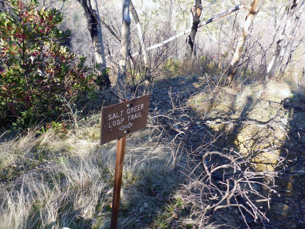
Trail intersection.  D. Burk.
The intersection of Salt Creek Loop Trail, Whiskeytown NRA, with the trail that continues up to Mule Mountain Pass. While the debris in the trail was an ominous sign, it was nothing compared to what we found just beyond. February 21, 2021.
Photo by Don Burk.

We cannot, in good faith, recommend this trail as a loop trail, but sections are passable and may be of interest. From the southern trailhead, the trail is open all the way to Mule Mountain Pass. There are many very steep, rocky, and highly eroded areas along the of Salt Creek Loop Trail section, which runs through heavily fire-damaged terrain.
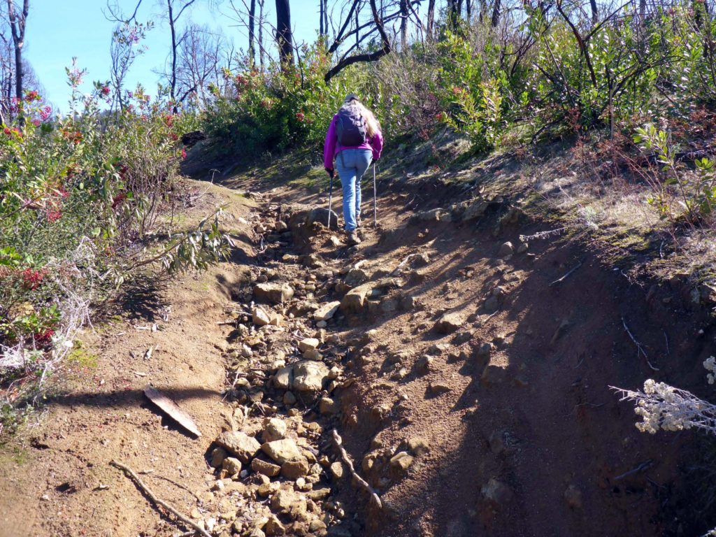
Poor trail conditions. D. Burk.
Steep, rocky, and eroded Salt Creek Loop Trail, Whiskeytown NRA, closest to the southern trailhead. The National Park Service states on one of their websites that these trails do not exceed 10% grade. We beg to differ. February 21, 2021.
Photo by Don Burk.

In our opinion, the only reason to take this trail is to get to Mule Mountain Pass, which is what we did. We wanted to put on a few more miles and check out bloom progress along Mule Mountain Loop Trail. Once past the intersection with the other leg of Salt Creek Loop Trail, fire damage becomes less and less pronounced, and the trail becomes much nicer.
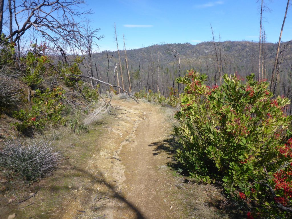
Above Salt Creek Loop junction.  D. Burk.
The trail above the intersection with Salt Creek Loop Trail, Whiskeytown NRA, becomes significantly better as it approaches Mule Mountain Pass and climbs out of the most severely burned area. February 21, 2021. Photo by Don Burk.

From the northern trailhead, the trail is open, well used, and relatively level, until it intersects with Buck Hollow Trail. Beyond that point, the trail becomes more and more obstructed, and break-neck steep as it nears the intersection with its other leg. (While we did indeed hike this section of the trail, it is hazardous and we do not recommend that you try it!)
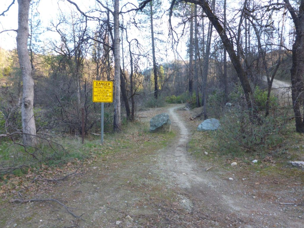
North-most trailhead.  D. Burk.
The northern trailhead for Salt Creek Loop Trail, Whiskeytown NRA, off of Mule Town Road. The first section is open and clear until it intersects with Buck Hollow Trail at Salt Creek, not 0.25 miles along. February 21, 2021. Photo by Don Burk.

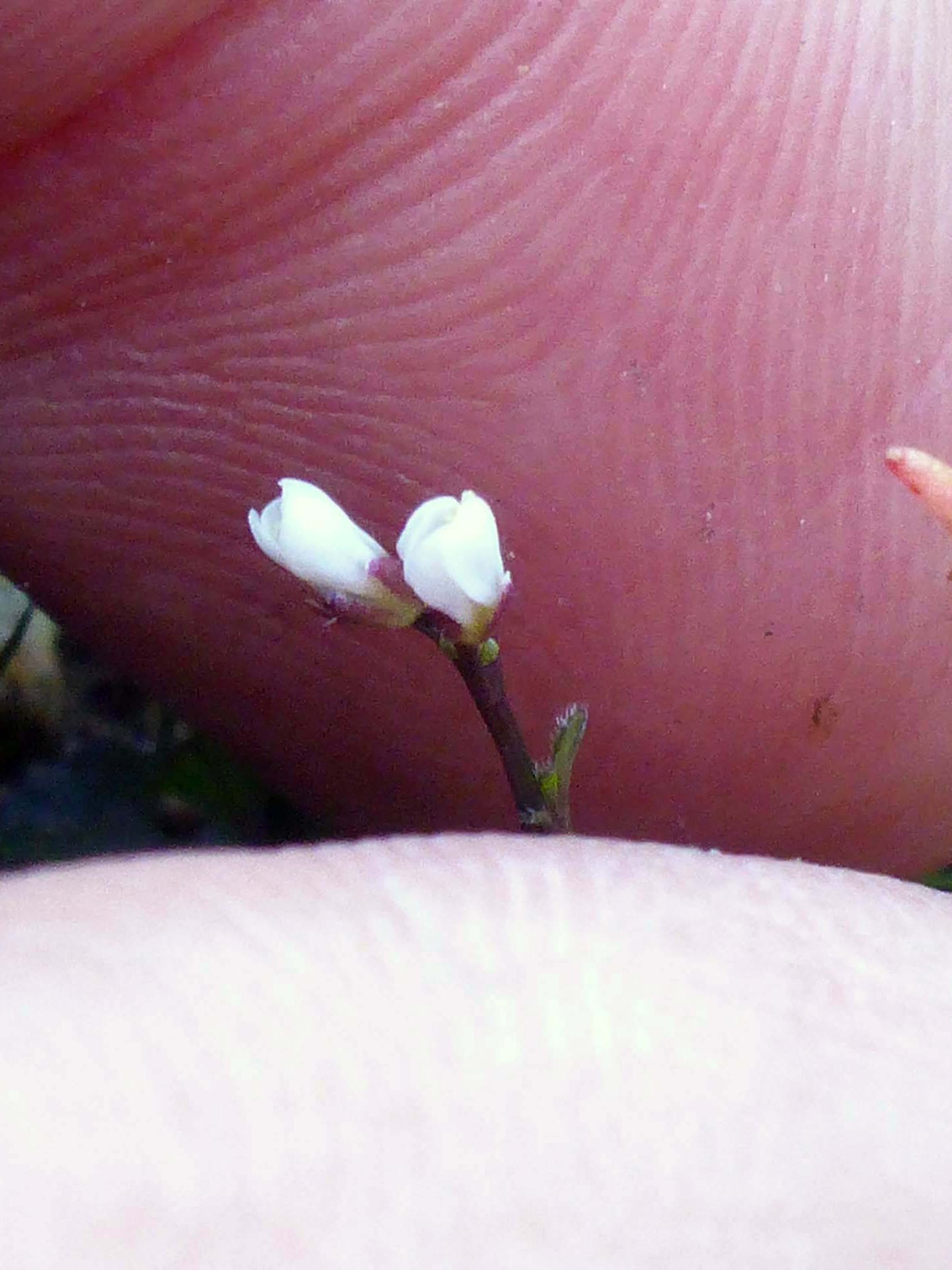
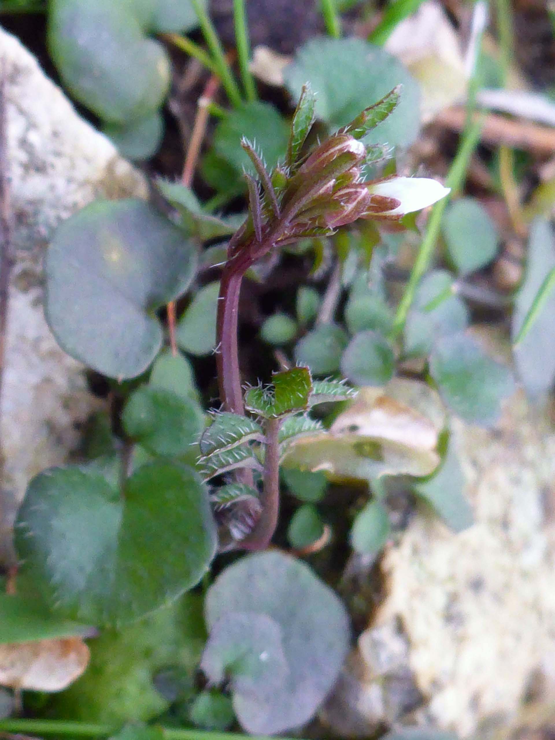
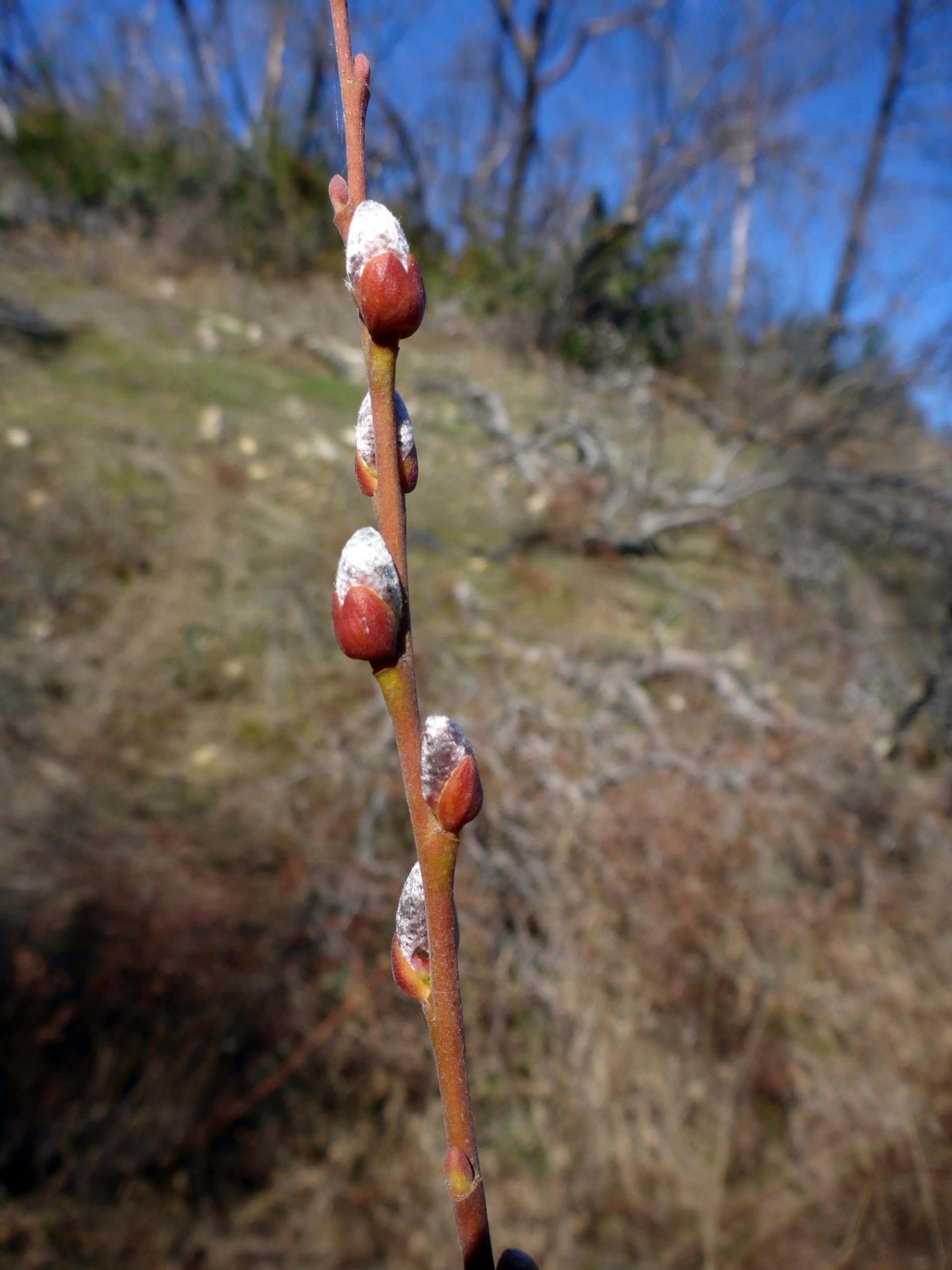
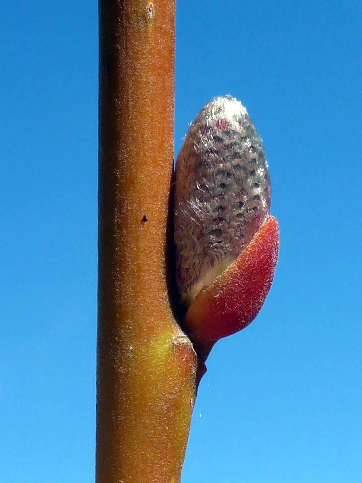
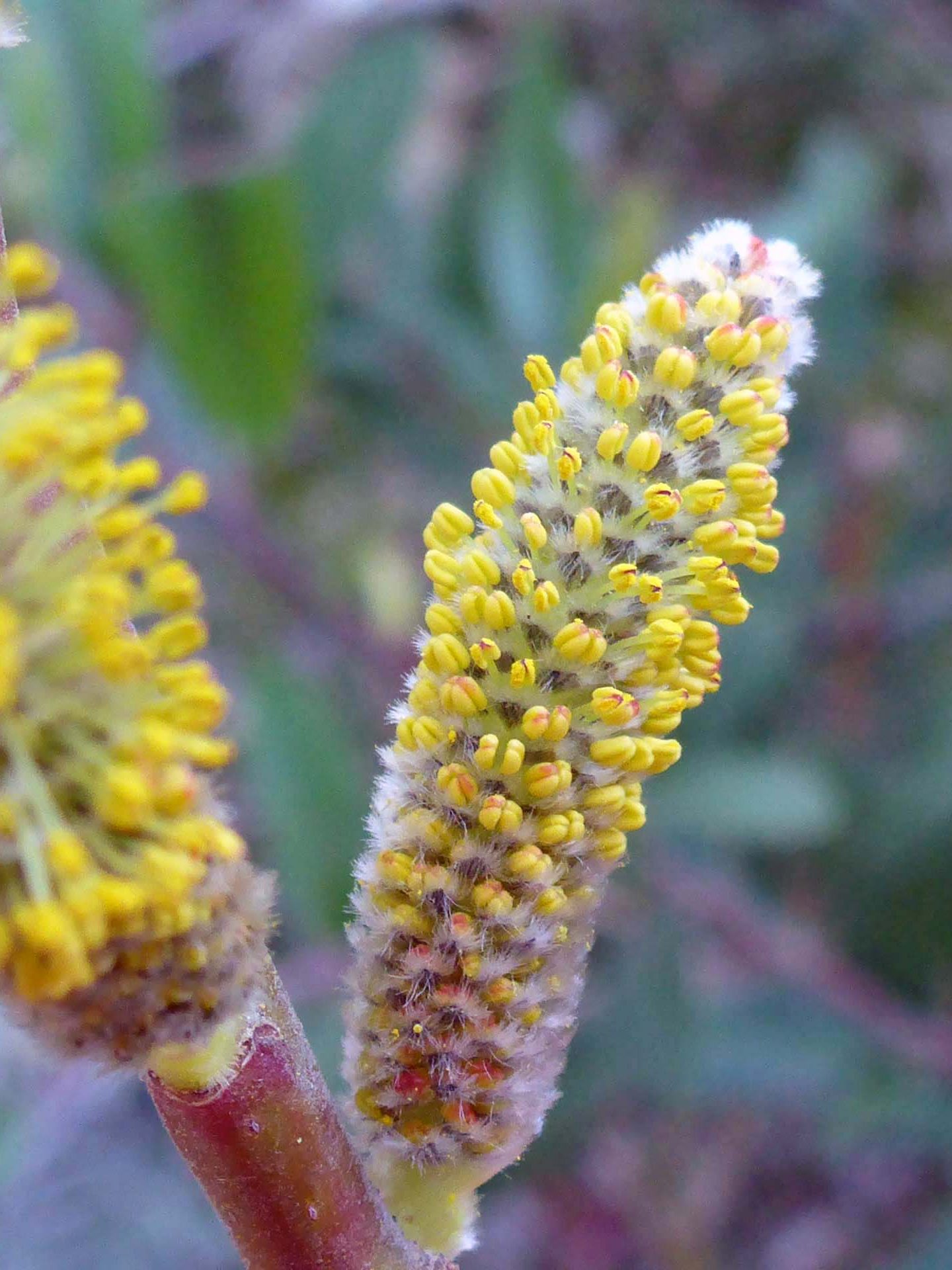
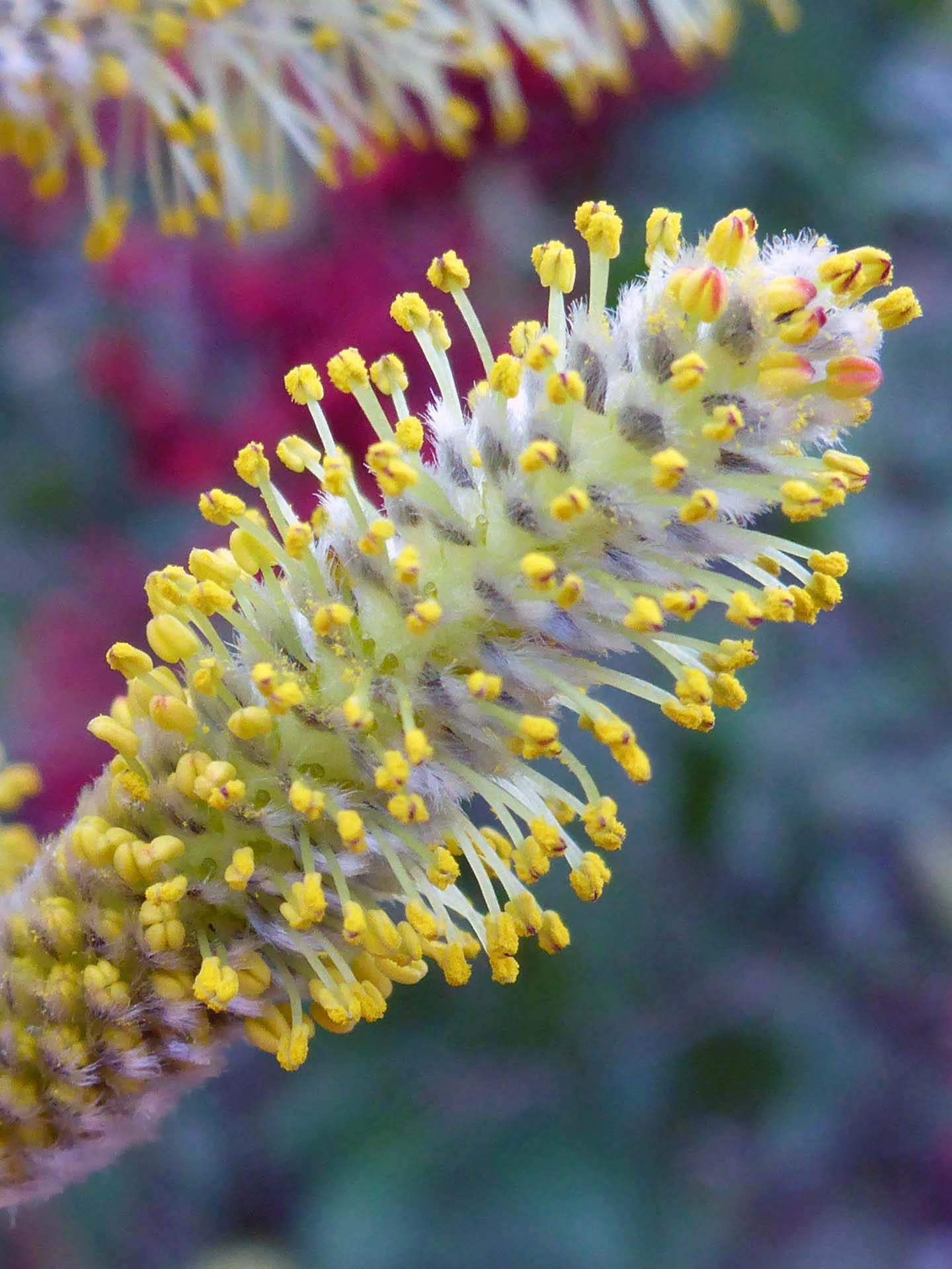
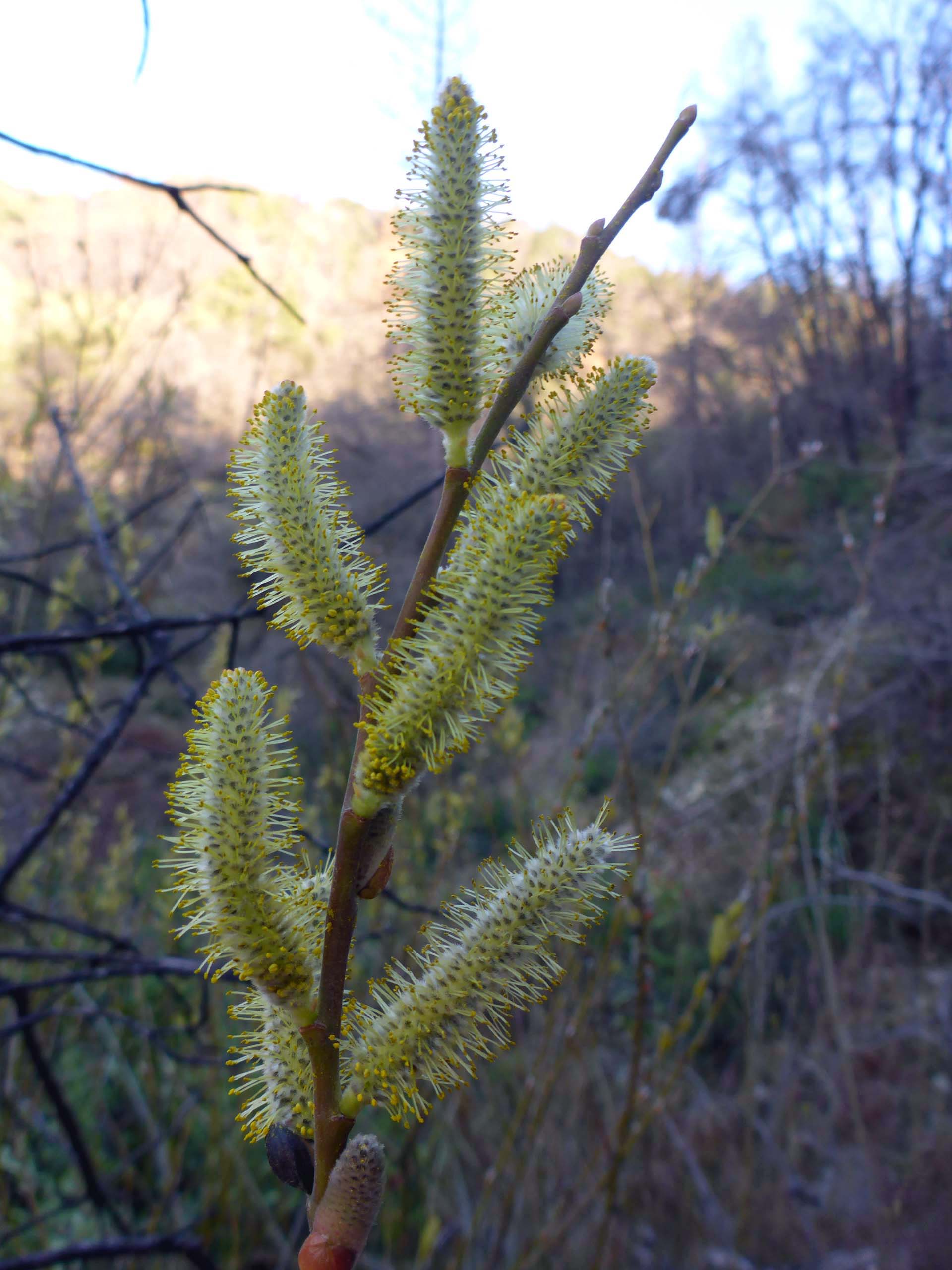
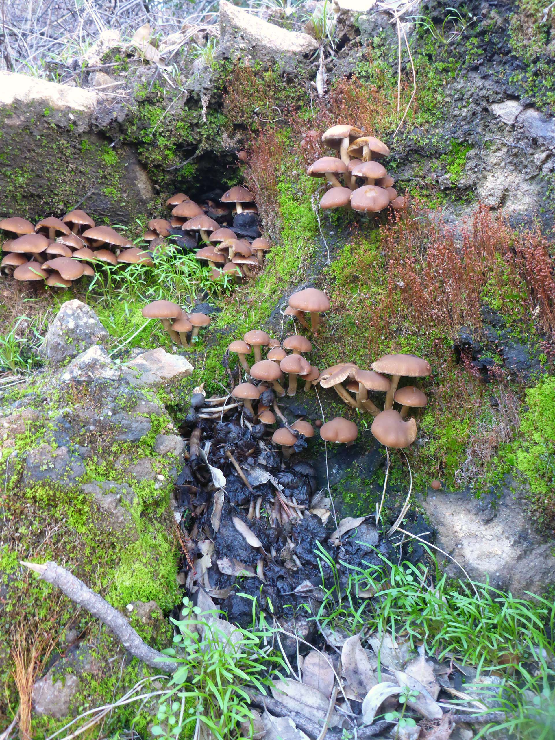
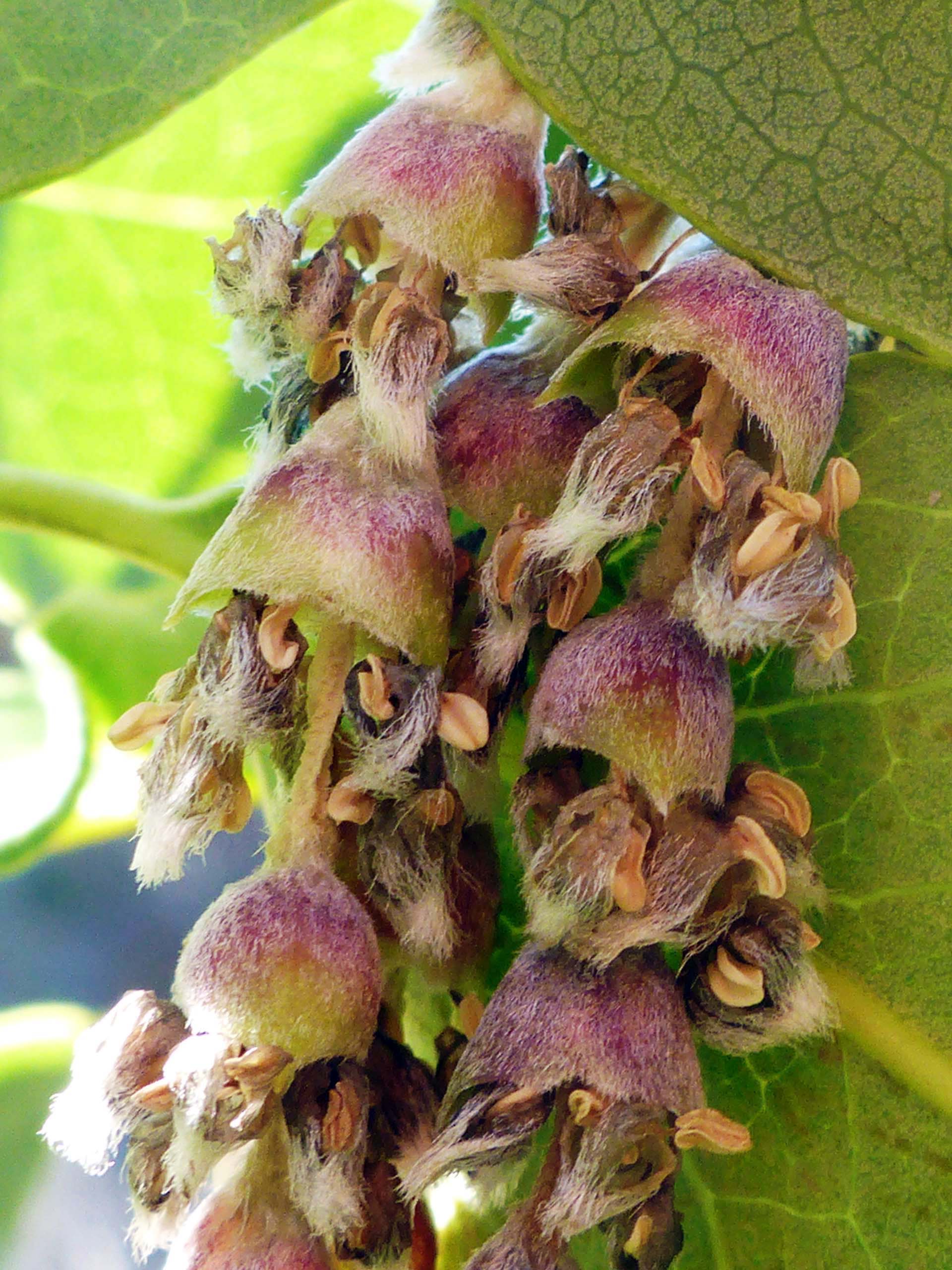
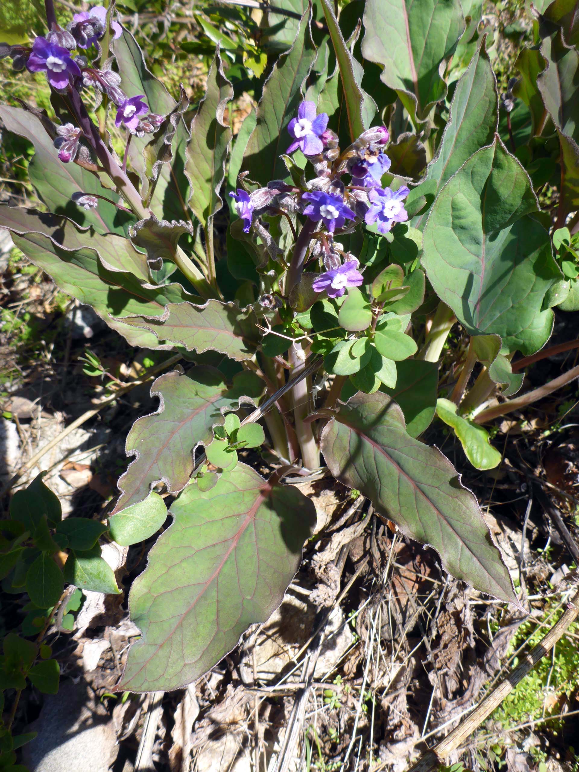
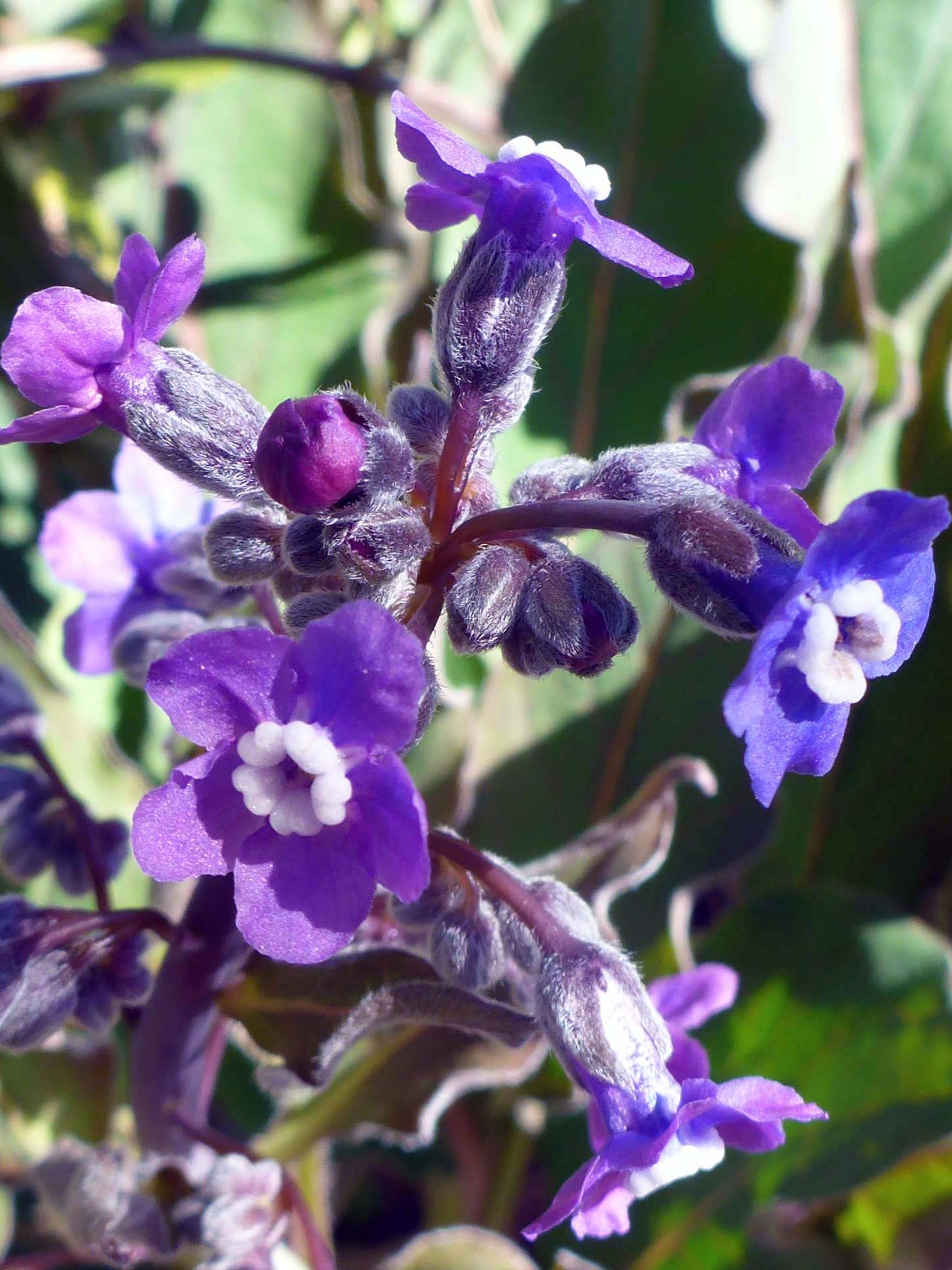
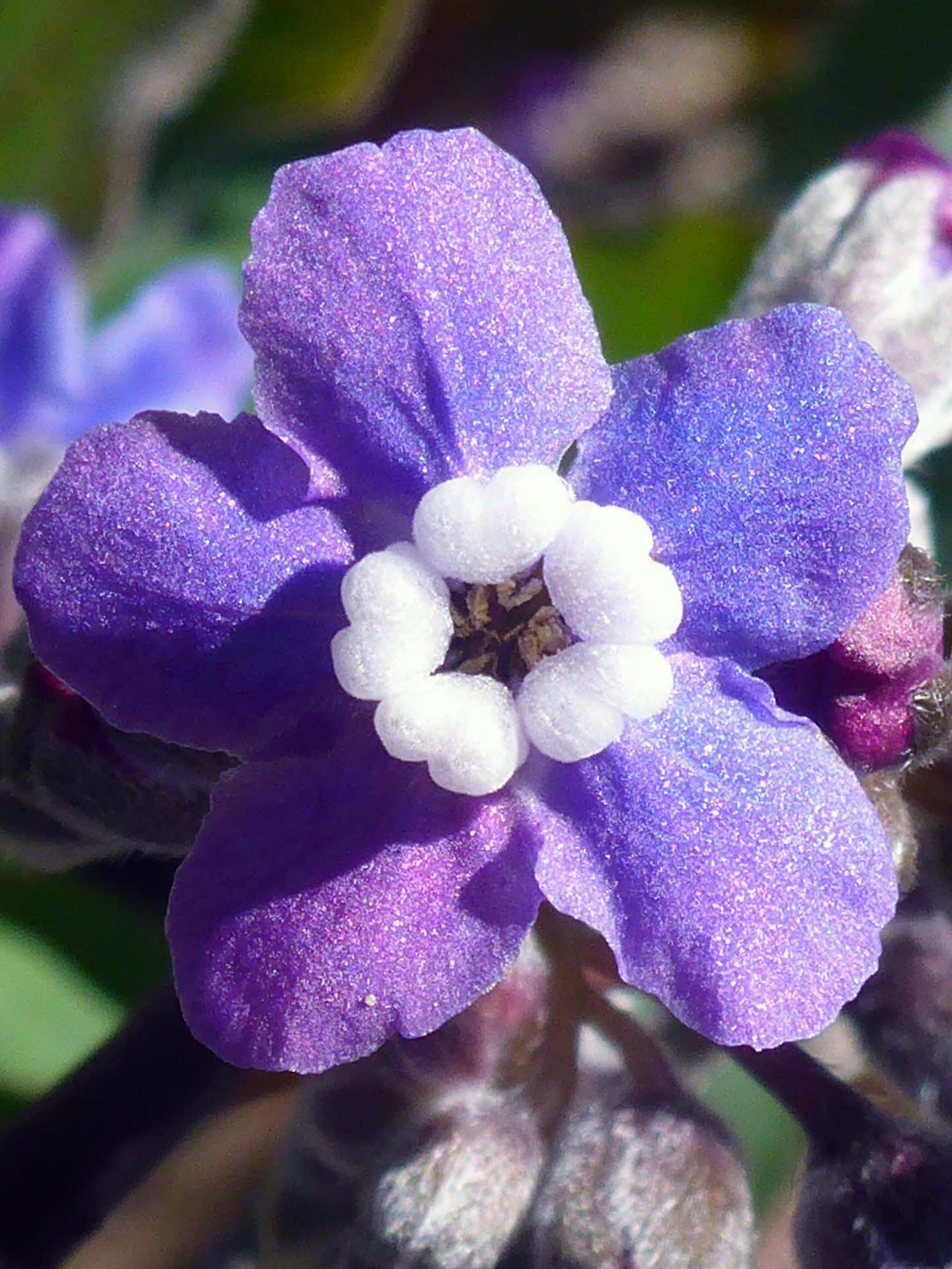
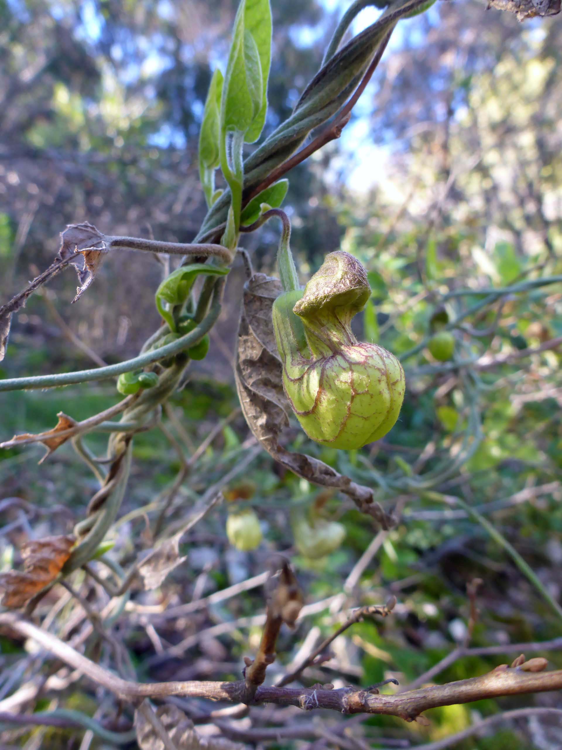
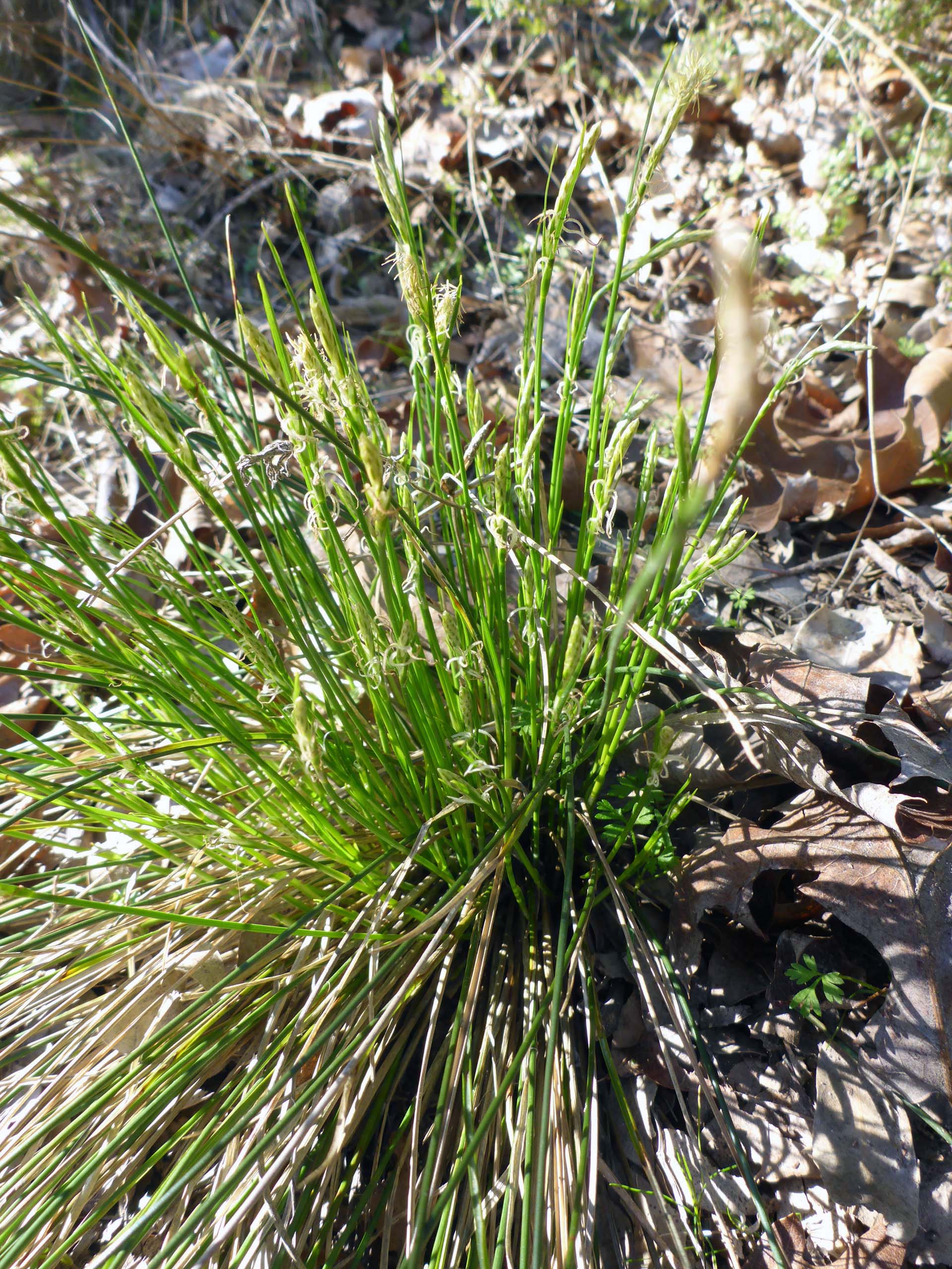
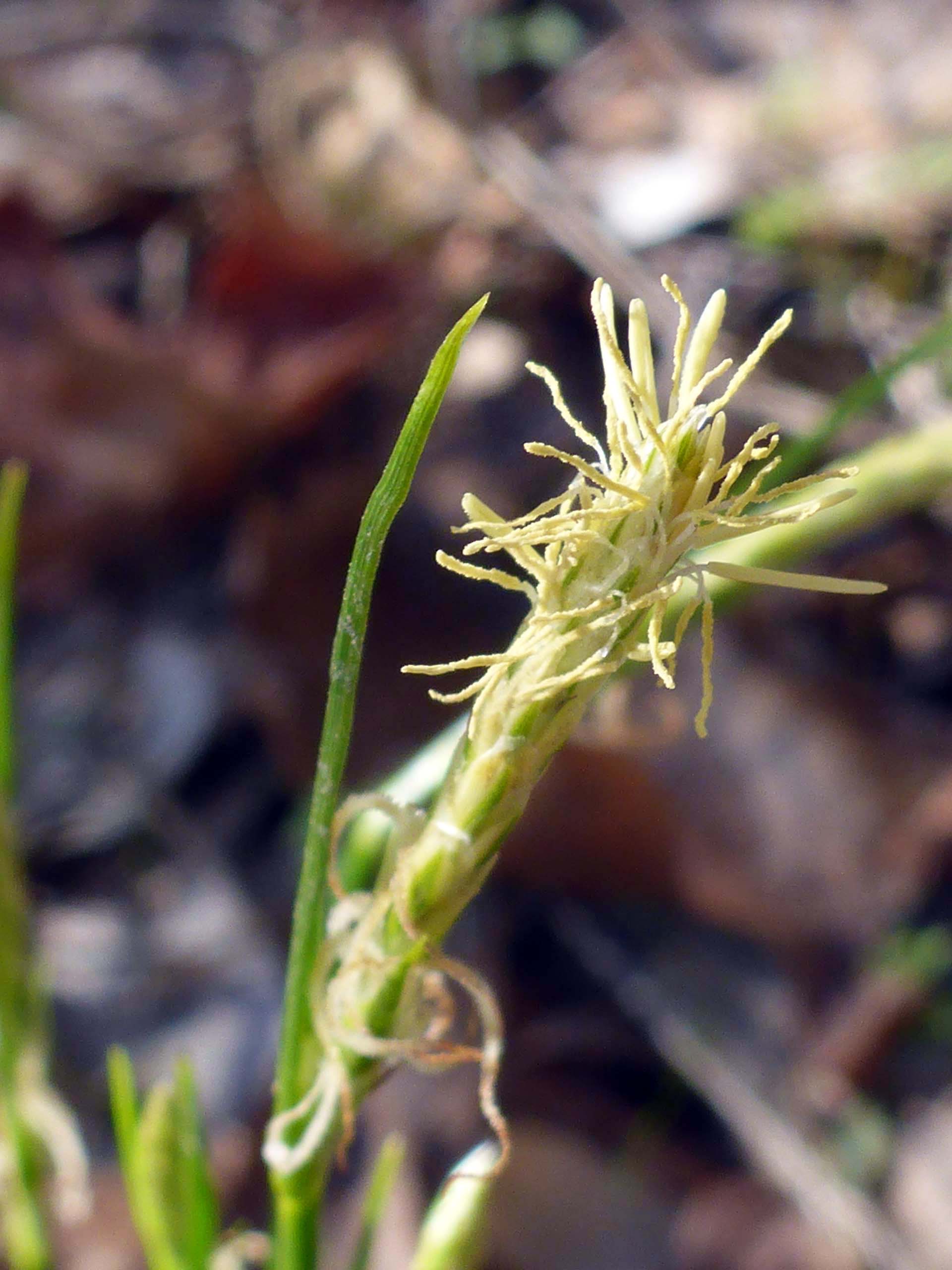
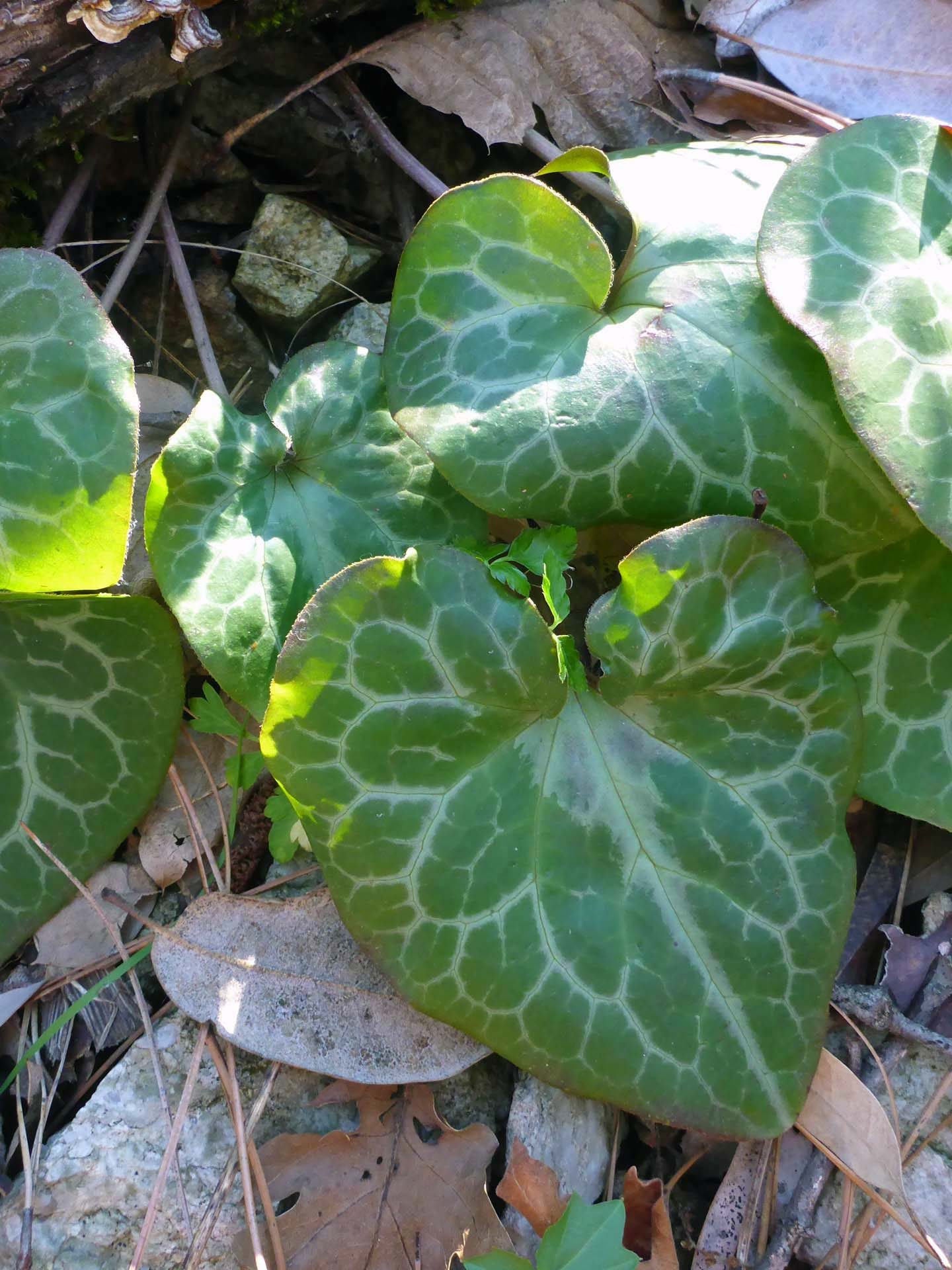
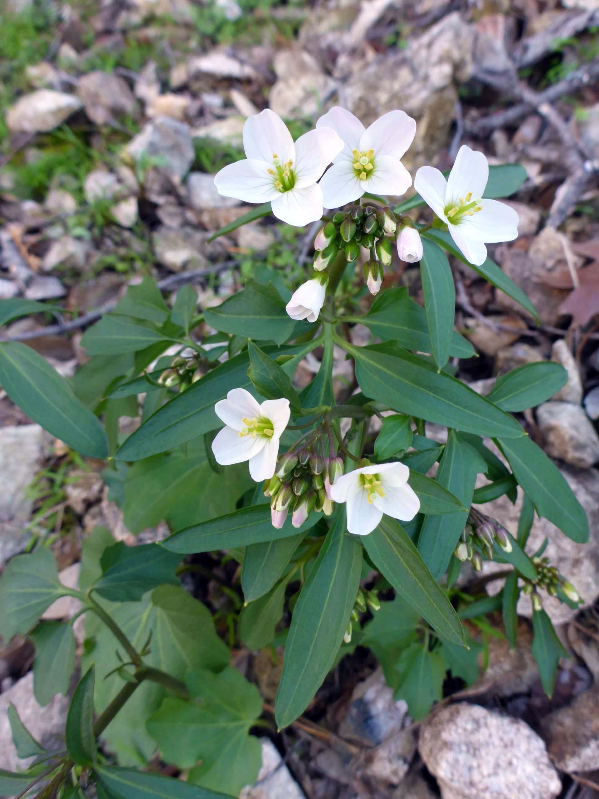
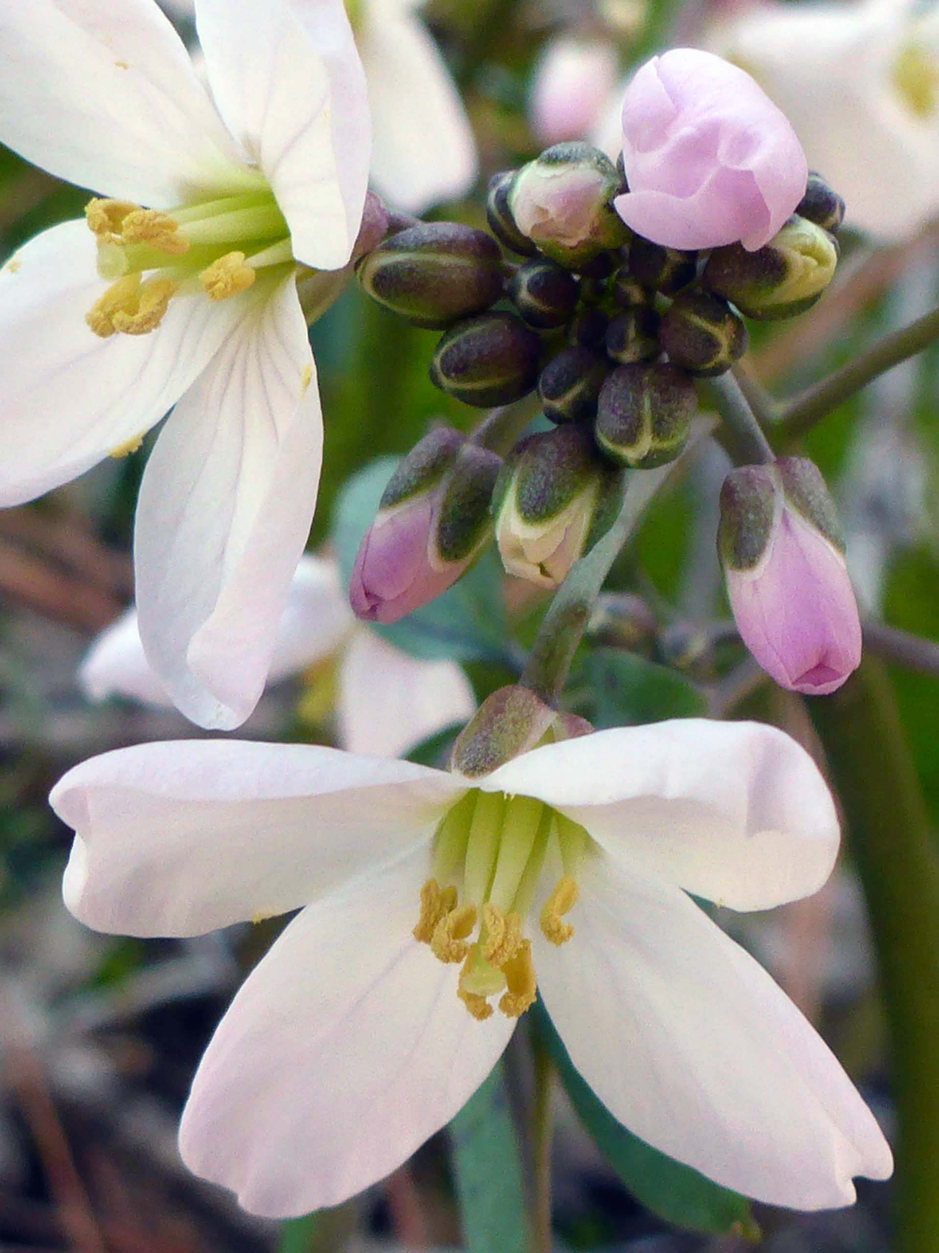
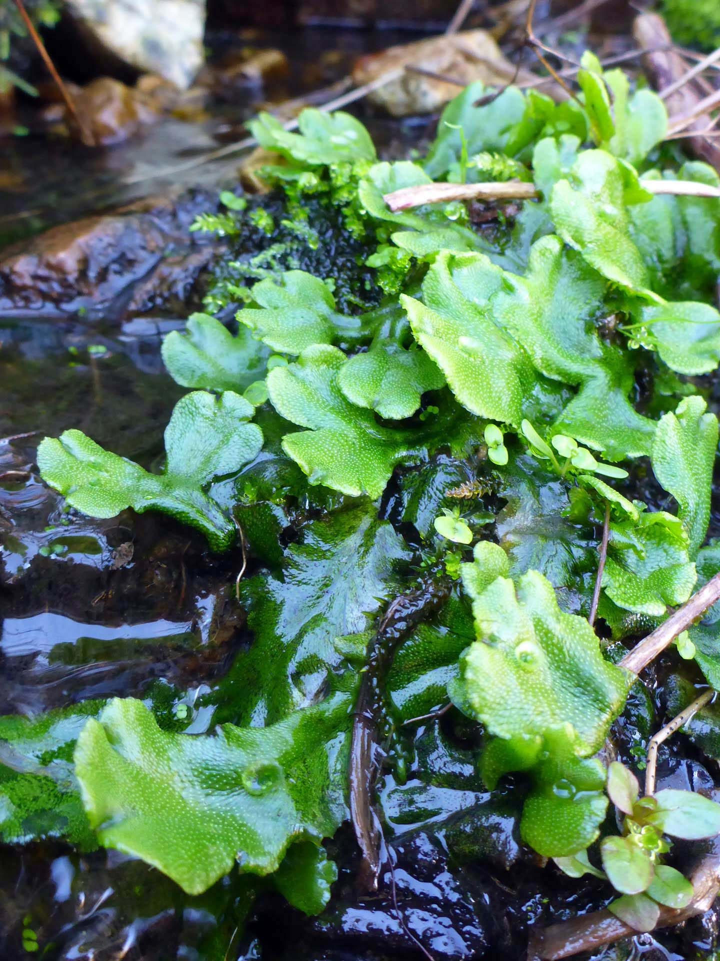
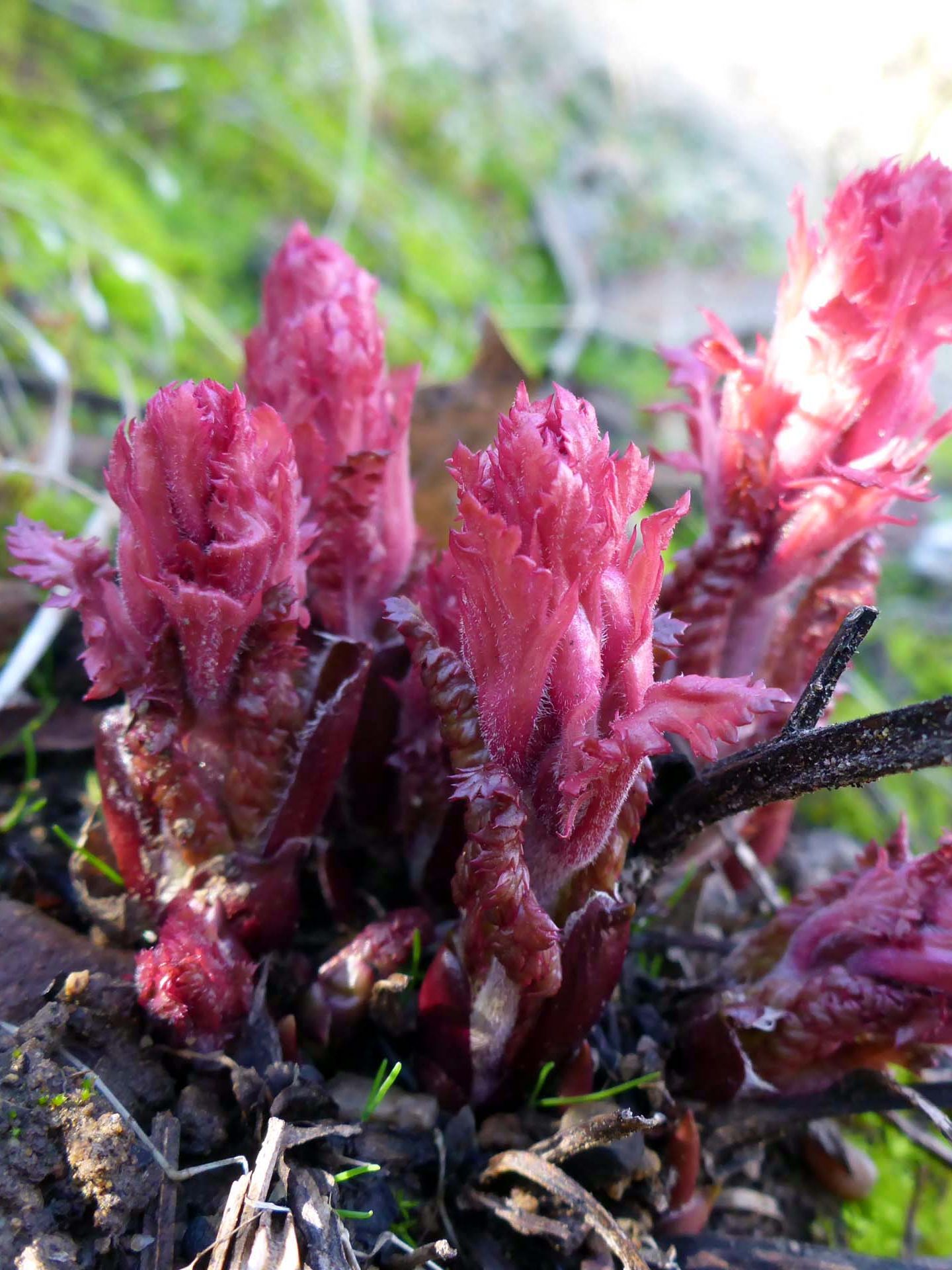
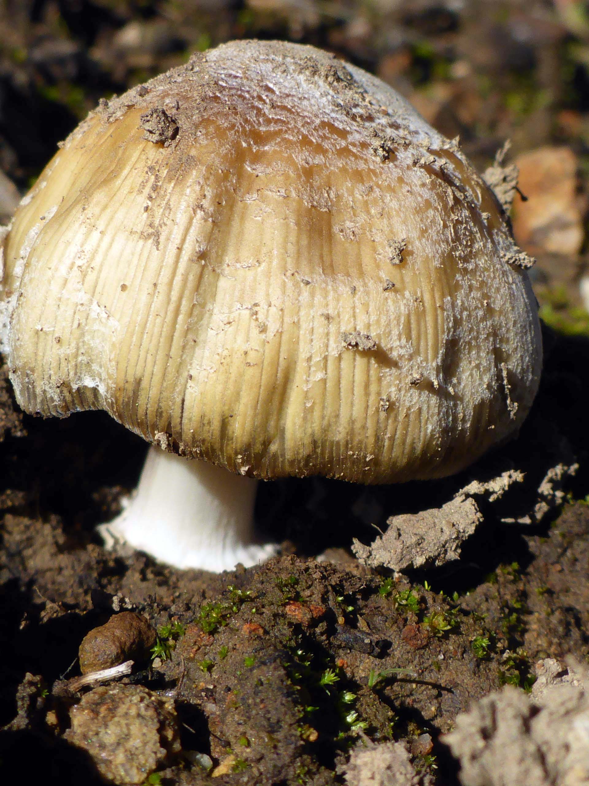
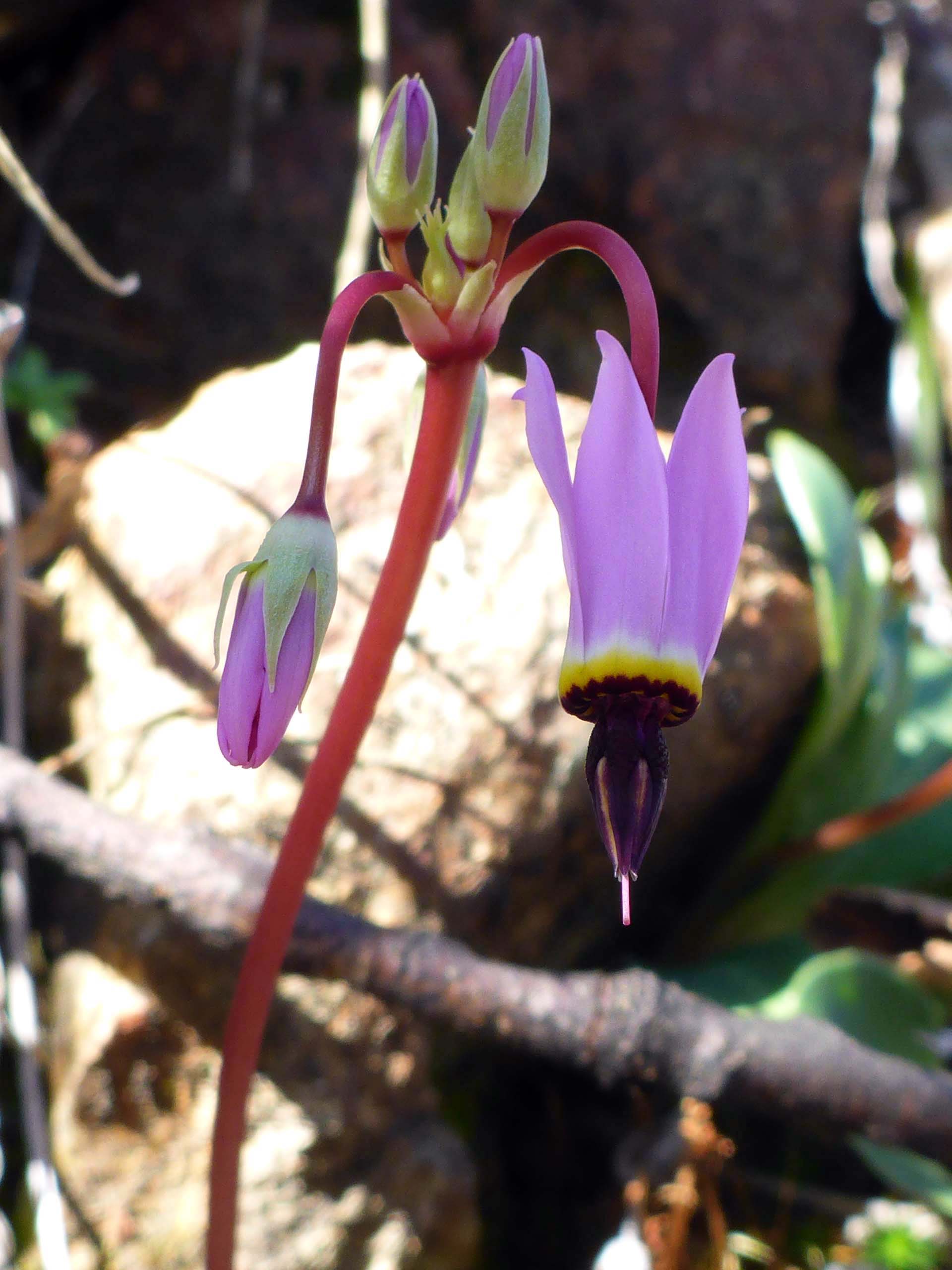
Despite the disappointment of finding the loop trail in such bad shape, the day was not lost. Our spirits were buoyed by the discovery of several pre-spring blooms. Here is a slideshow of some of our favorite sights. All photos by Don Burk. Enjoy! ~Laurie & Don Burk