
Just northeast of Old Station, bounded by Highway 89 and the curve of Highway 44, is a large parcel of rugged land known as Devil’s Half Acre. While it is not entirely clear how this area got its name, the fact that the Nobles Emigrant Trail passed through the harsh conditions found here might give us a clue. It is easy to imagine that travelers on horseback, stagecoach, and on foot might very well have had a devil of a time navigating the uneven expanse of exposed rock during the last half of the 19th century, inspiring them to dub this dreaded section the Devil’s Half Acre.
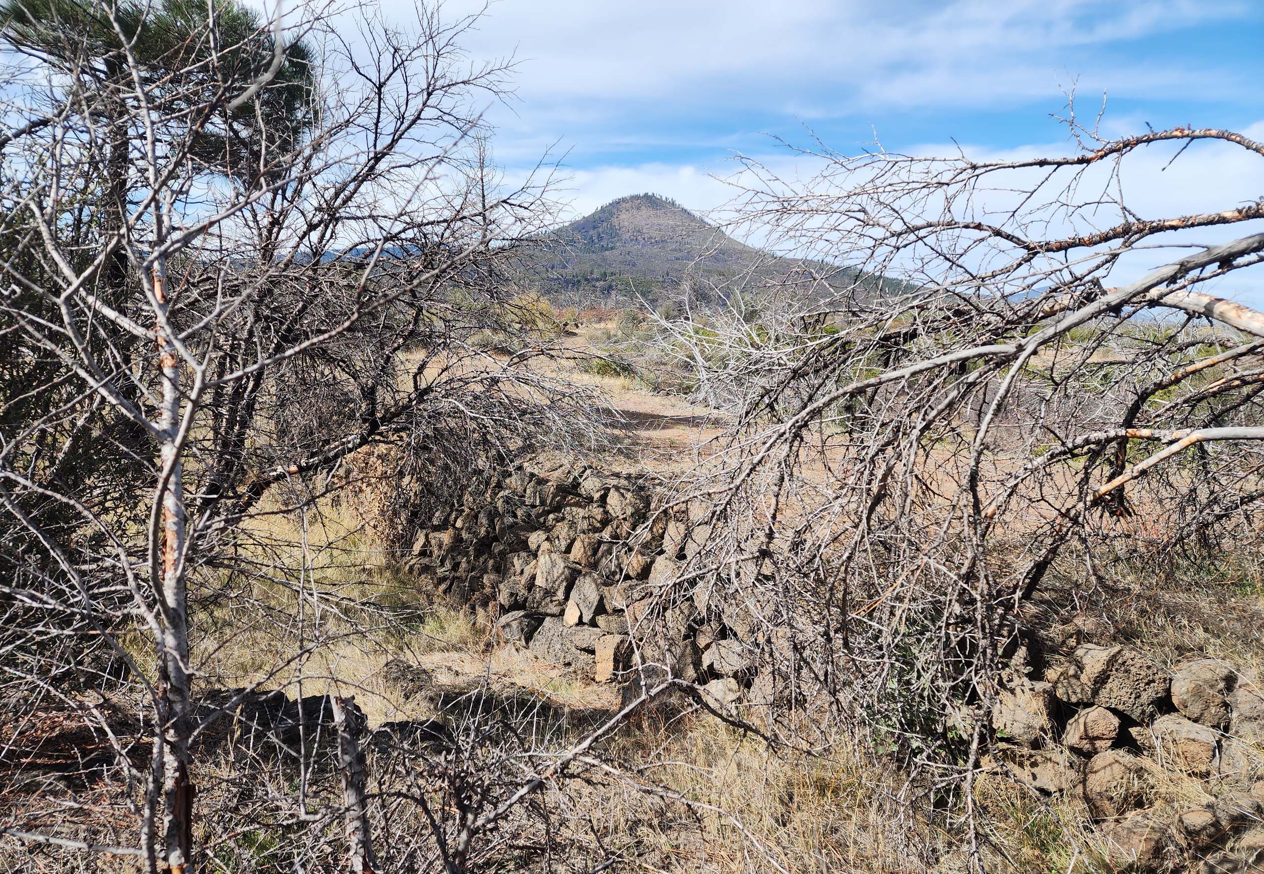
Photo taken October 12, 2025, by Don Burk.
Today, a relatively new and very nice trail runs through the Devil’s Half Acre: the Pacific Crest Trail (PCT), which was our destination on this particularly fine early fall day. From where the PCT crosses Highway 44, it is almost exactly 3 miles to the Hat Creek Rim Scenic Viewpoint, making for a very pleasant 6-mile day hike.
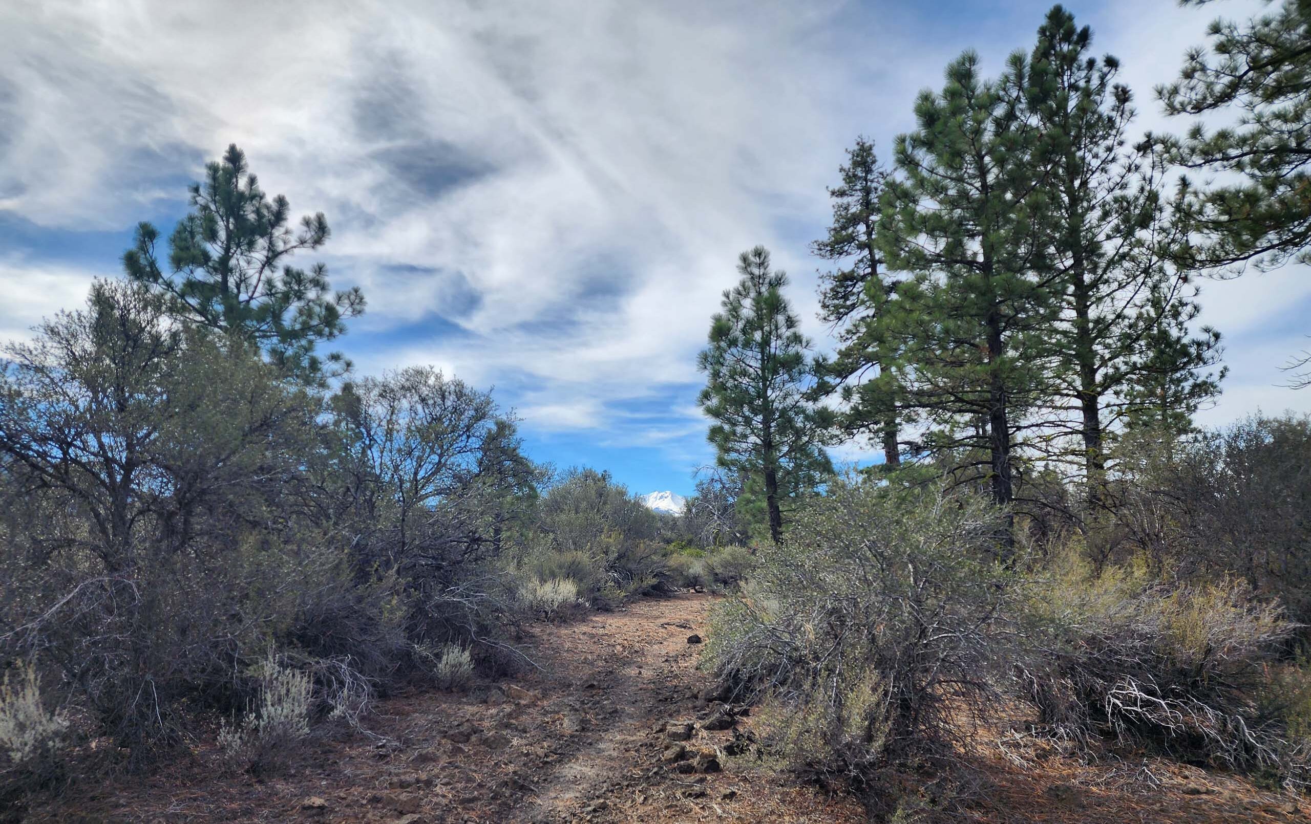
From the highway, the first couple miles of trail are mostly flat and follow the curve of the road. (A side trail to Subway Caves joins the PCT within yards of the starting point, which would make for an interesting diversion.) The trail wanders through scrubby high-desert habitat—mostly open and exposed, but punctuated now and again by conifers: ponderosa and Jeffrey pines, incense-cedars, white firs, and junipers.
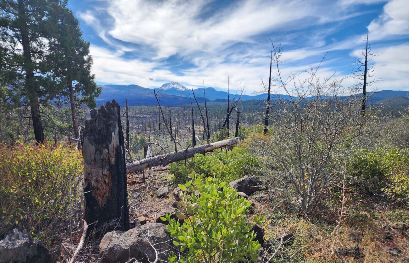
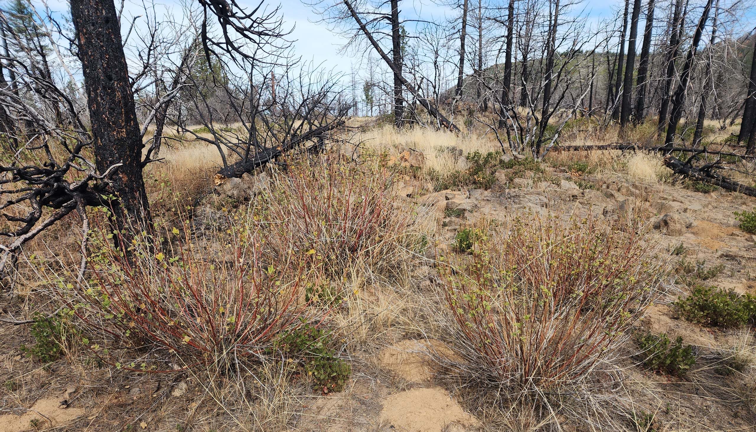
Some of this landscape burned in the 2021 Dixie Fire and is slowly revegetating—always a fascinating process to witness.
After a mile and a half to two miles, the PCT joins into the historical road corridor, which shortly thereafter begins to climb to the top of Hat Creek Rim. The forest becomes more dense in places, more open and disturbed in others, and the trail becomes rockier as it switchbacks to the top of the rim.
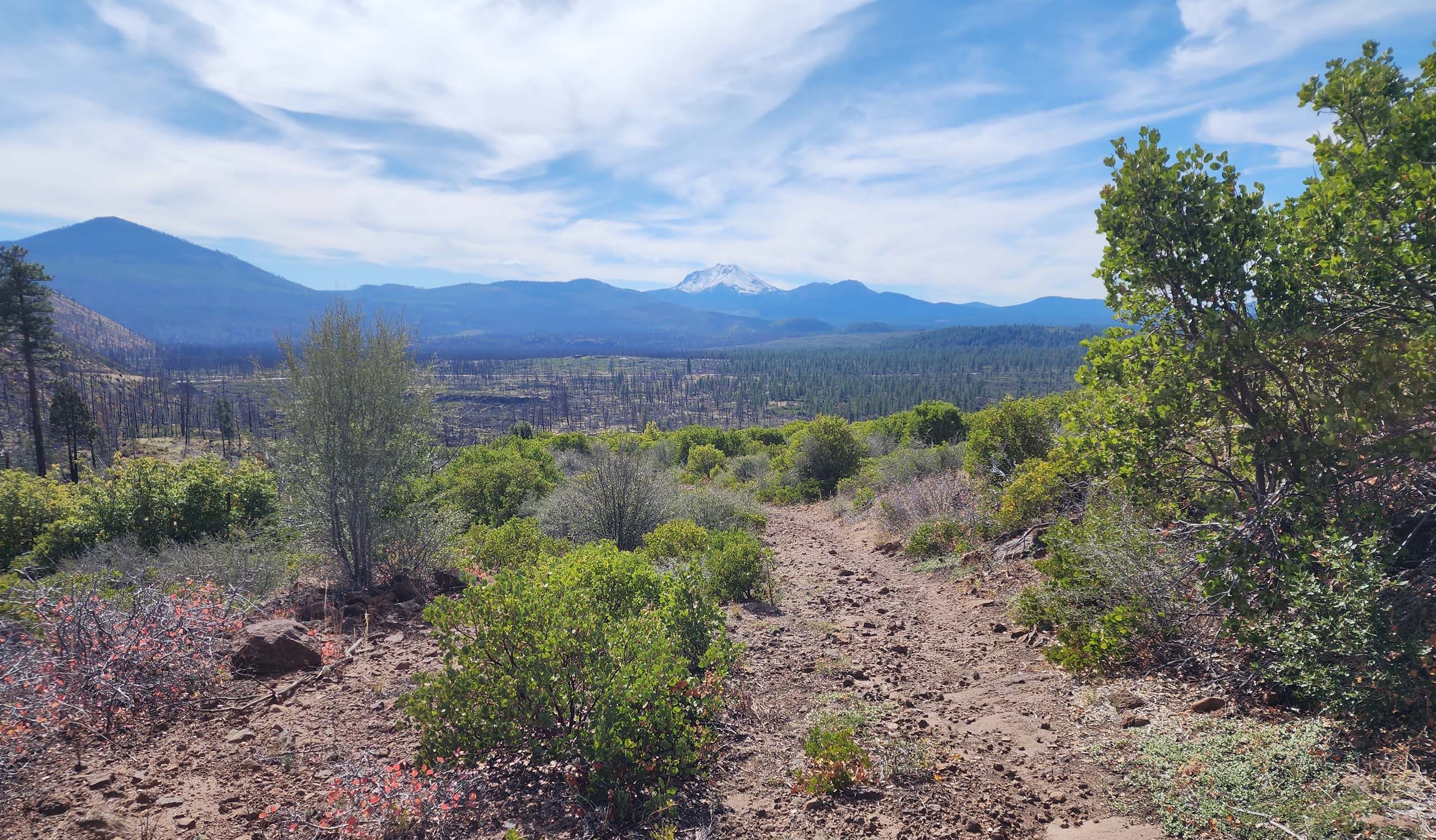
Photo taken October 12, 2025, by Don Burk.
Hiking here is definitely more difficult and less pleasant than in the flat lowlands, but one is soon rewarded by some pretty magnificent views.
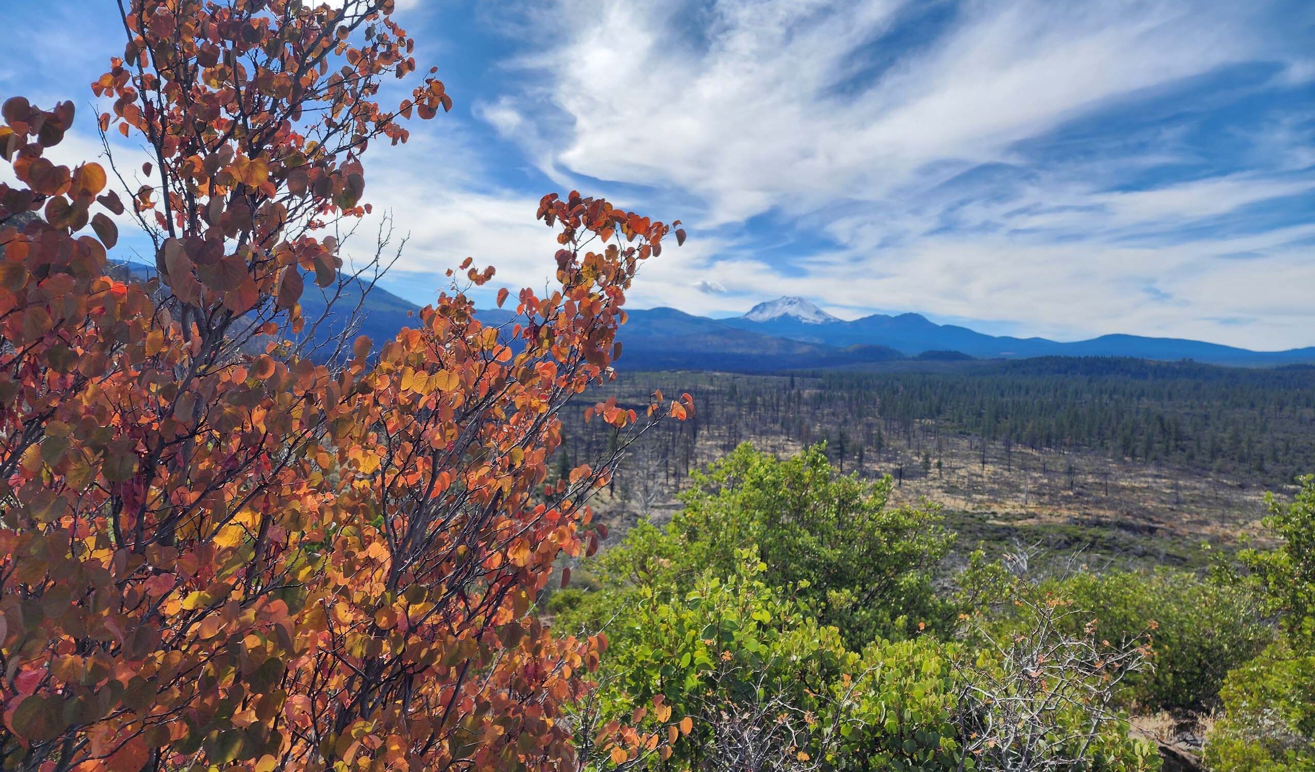
Photo taken from the PCT by Don Burk on October 12, 2025.
We hiked a little past the developed viewpoint to have lunch overlooking Hat Creek drainage and the surrounding mountains.
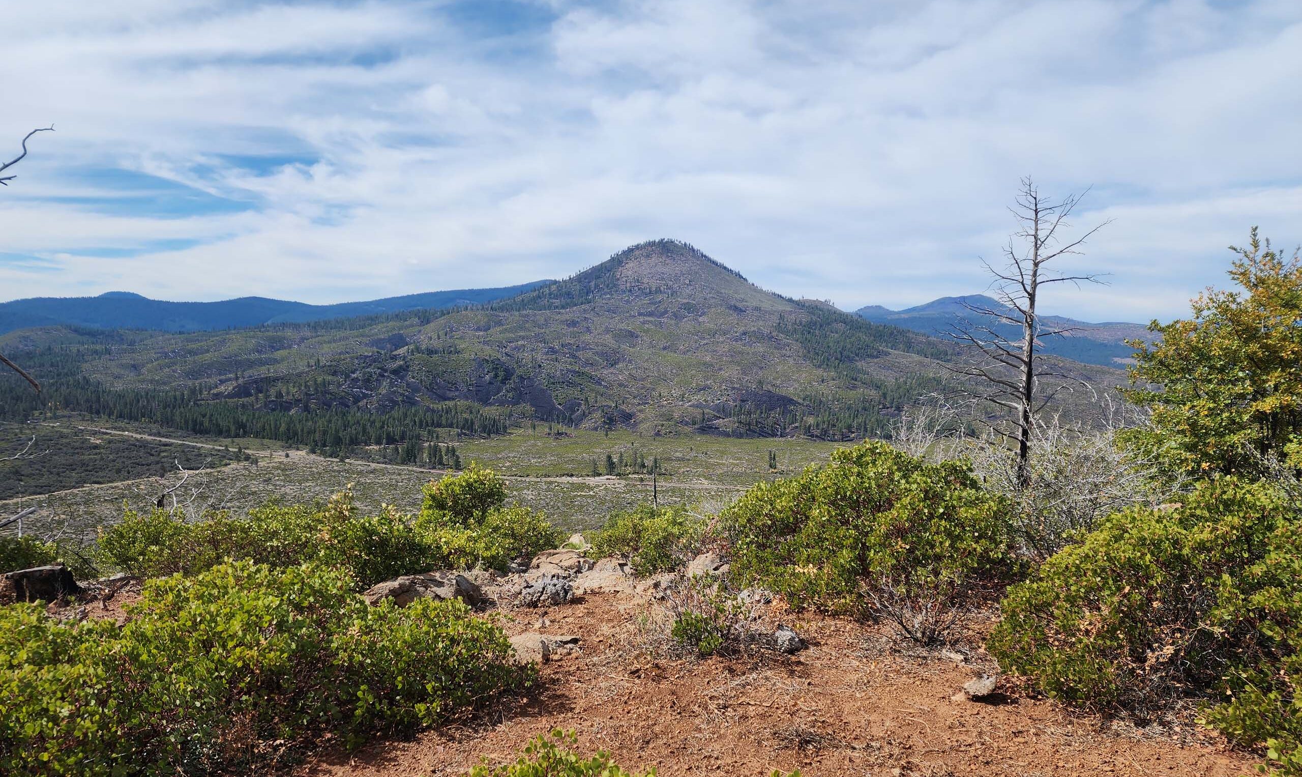
Photo taken October 12, 2025, by Don Burk.
As expected in mid October, not a lot was in bloom. Nonetheless, we chalked up nearly two dozen species in flower, and noted some very intriguing seeds and fruits. Check out the slideshow sampling of what we saw, below (photos by Don Burk unless otherwise noted). Or better yet, visit this vastly interesting section of PCT yourself—we think you will be devilishly delighted! ~Laurie & Don Burk
 Rabbitbrush, Ericameria nauseosa.


