Redding’s Development Services Director Jeremy Pagan presented the latest options for the Riverfront Specific Plan to the Planning Commission on August 12. If you want to see a presentation of the PowerPoint, which is quite good, go to this link. The presentation starts at about 1 hour 36 minutes. The various options, developed by MIG Consulting, took into consideration input from citizens.
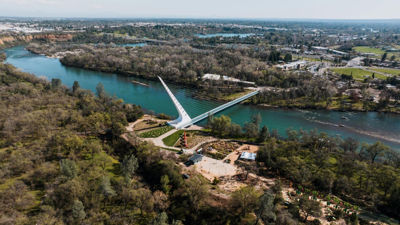
Concerning the Turtle Bay area, one fortunate aspect of the options presented was the protection of the riparian areas, expanding the natural areas to 350 feet from the river, with talk of expanding it up to 500 feet back from the river in some areas. This provision for protection came in response to the many written and in-person comments made by the general public to keep the natural areas natural.
The only options for commercial areas would be those adjacent to Highway 44 that already have businesses on them, as presented by Pagan. The areas between Highway 44 and Cypress Street are already largely developed.
Pagan’s long PowerPoint presentation covered the different options the City Council could take. The current Planning Commission and City Council have a pro-development majority, so is important for those of you who want this area to remain protected to let the Council know. You can contact the Redding City Council and individual Council members here.
You can also still comment or leave additional comments at Redding Riverfront Specific Plan—click on “Share your ideas.” Remember—your voice makes a difference! ~David Ledger, Conservation Chair