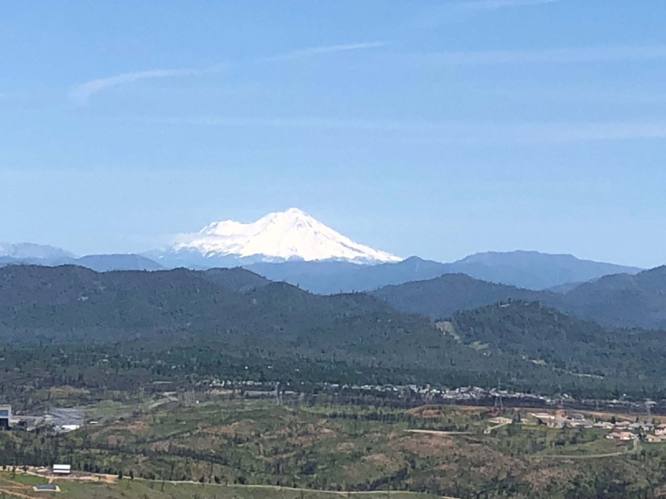
Here’s a walk that will get your heart pumping and give you a 360-degree view of Redding’s surrounding mountains. The first half of the hike is all uphill, with about 550 feet of elevation gain. But that’s not a problem, provided you stop from time to time to check out the plentiful flowers.
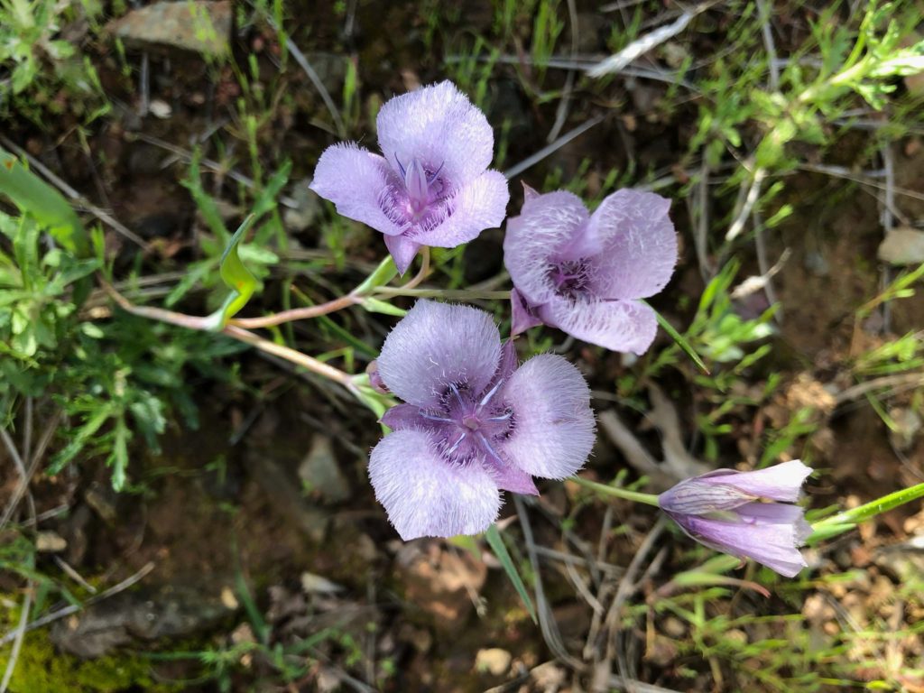
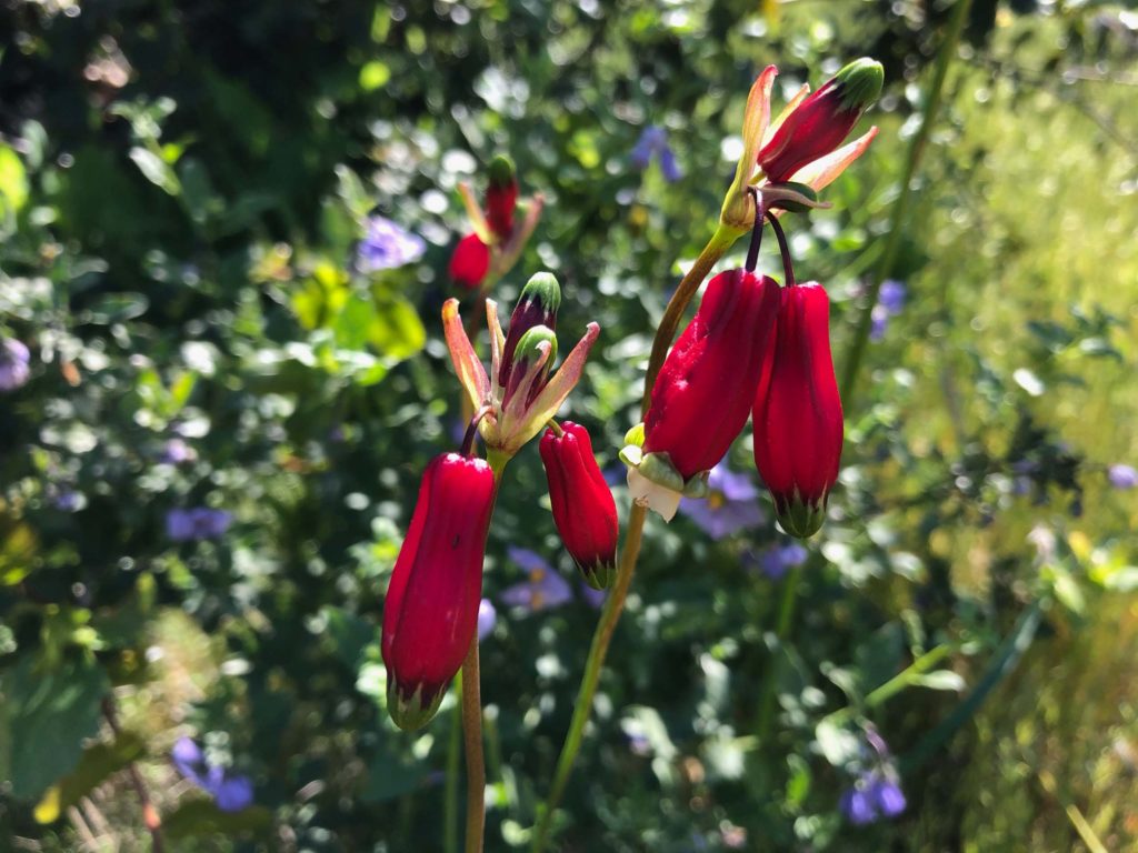
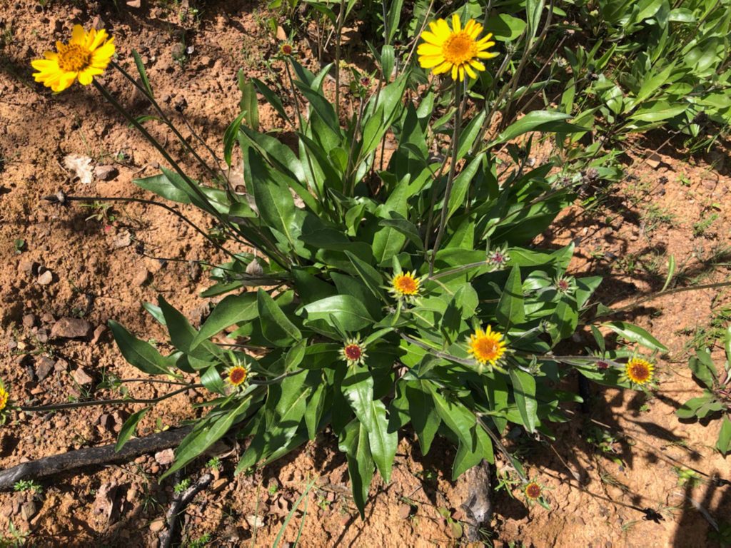
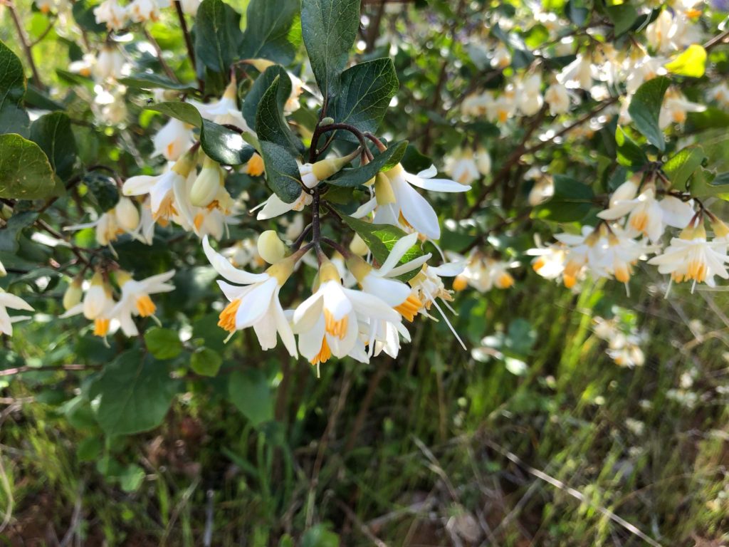
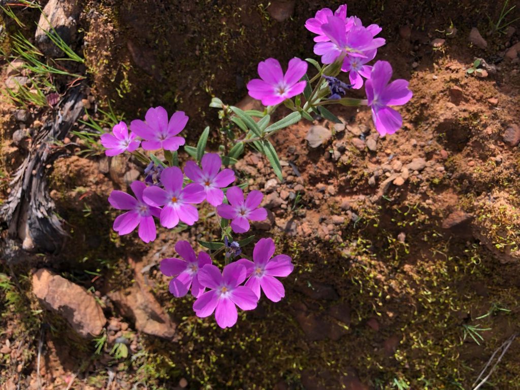
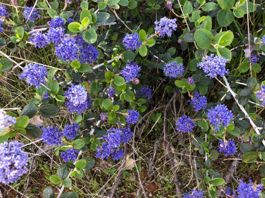
You’ll see many Tolmie’s star-tulips and lots of flowering California snowdrop bushes. Also numerous are firecrackers, lupines, Lemmon’s ceanothus, and Parish’s nightshade subshrubs. Common monkeyflowers, purple sanicle, Danny’s skullcaps, heart-leaf milkweed, California helianthella, and showy phlox can be seen along the way, too.
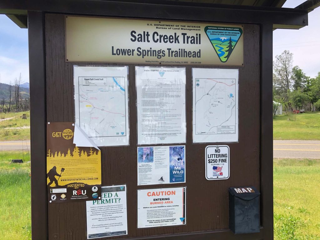
To get to the starting point of this walk, drive west on Highway 299 until you come to Lower Springs Road, which is one mile west of the Buenaventura Boulevard and Highway 299 intersection. Turn left and travel approximately 0.75 mile until you arrive at Valparaiso Way, where you’ll again turn left and immediately find a small graveled parking area. This is the Lower Springs Trailhead for the Salt Creek Trail, which begins on the other side of Lower Springs Road.
Head in the opposite direction by walking up the paved Valparaiso Road for just over 0.4 mile. When you see the mailbox (constructed of concrete and rock) bearing the number 16375, drop onto the dirt trail to the right and begin a gradual, upward climb to the “Top of the World.”
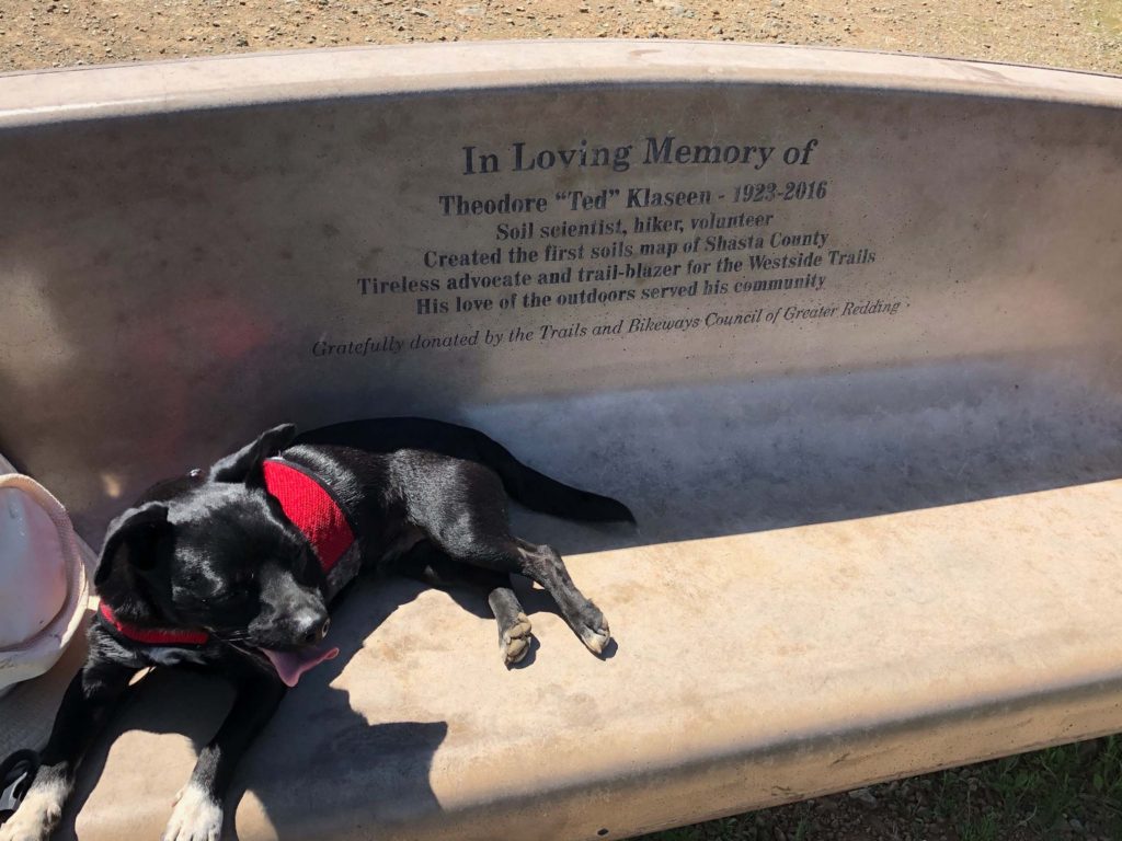
Once you arrive at the “Top of the World,” you’ll be treated to vistas of Mt. Lassen, Mt. Shasta, Shasta Bally, and the Trinity Alps. Rest on the bench dedicated to master trail builder Ted Klaseen before heading downhill to complete this 3.5-mile walk. –Chris Harvey
