Following an old water ditch, the Rattlesnake Gulch Trail begins gently enough the first one-half mile. Then the trail leaves the water ditch grade and heads steadily uphill to arrive at the viewpoint known locally as the Top of the World. The roundtrip hike covers about three miles and has an elevation gain of approximately 600 feet.
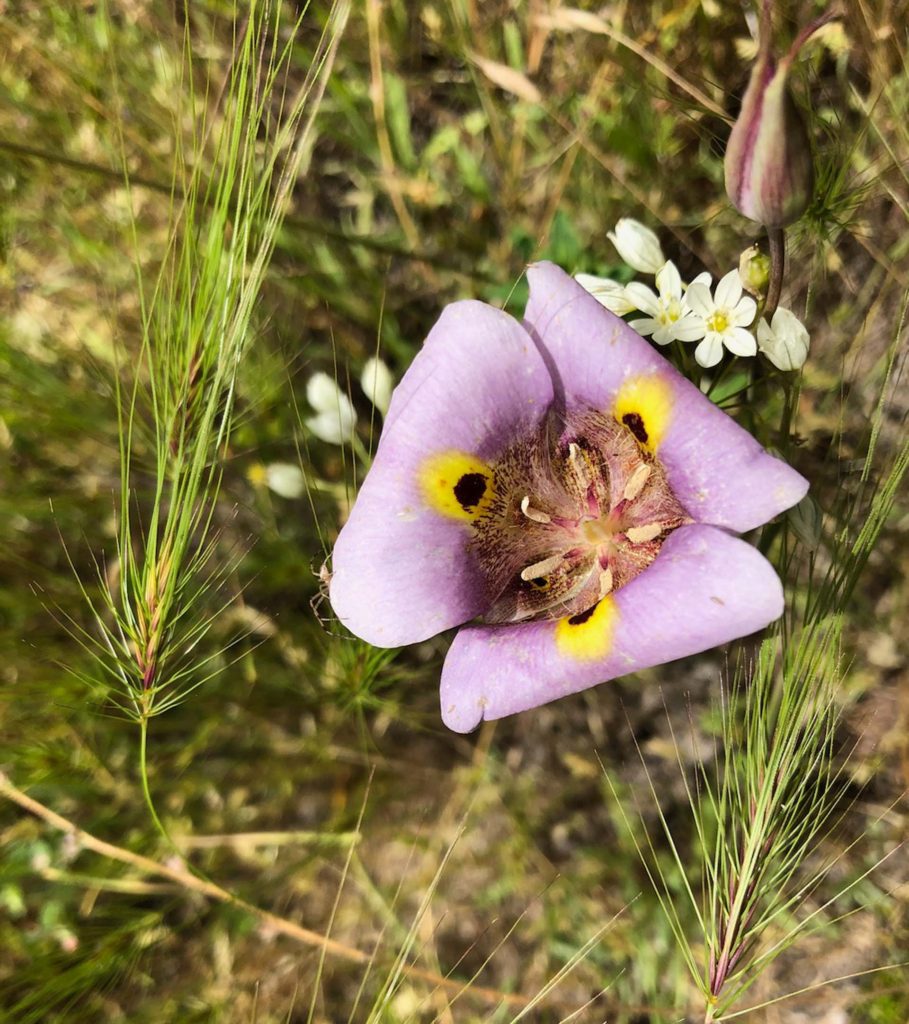
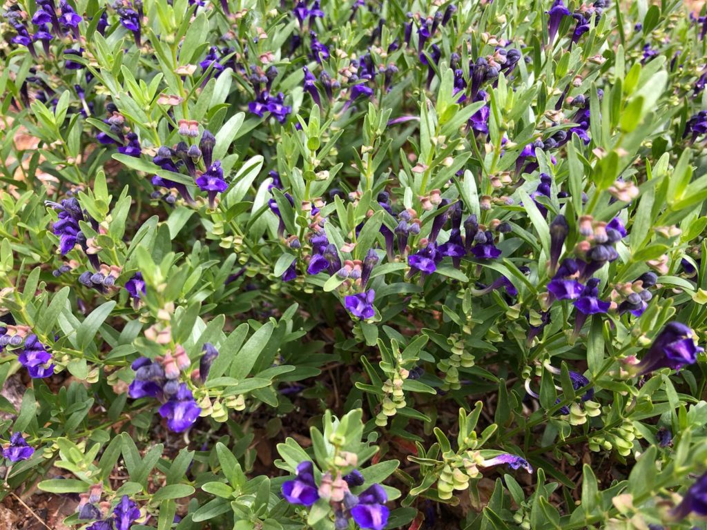
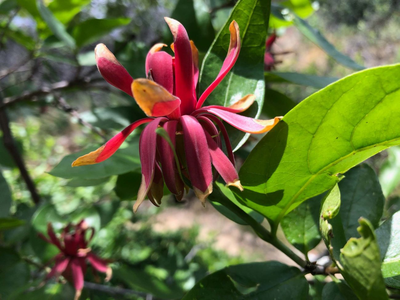
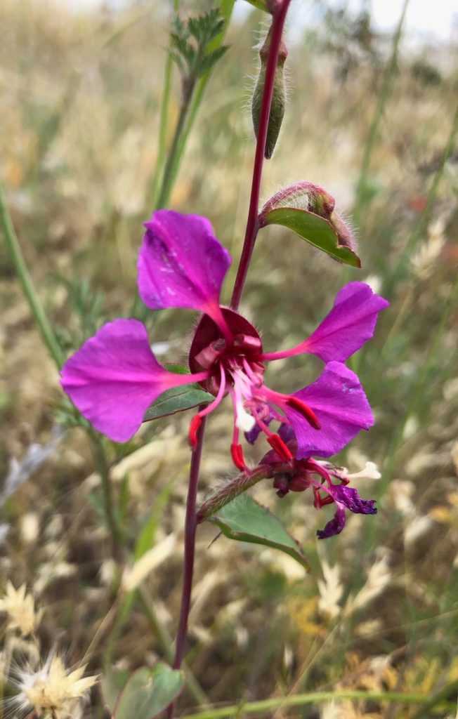
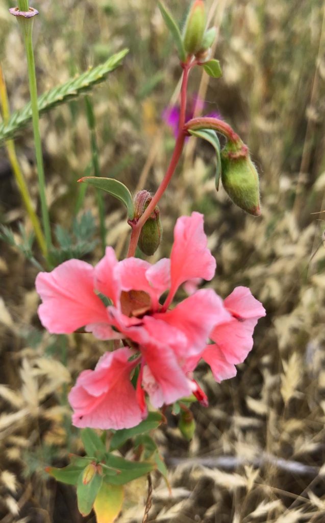
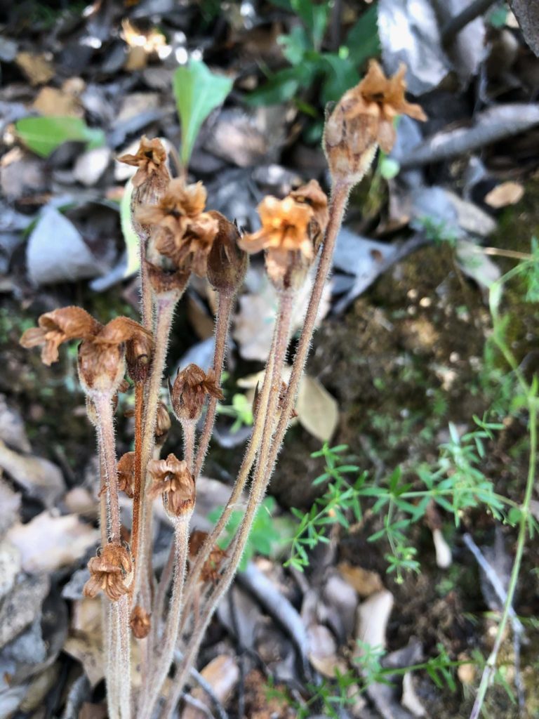
Observing proper social distancing, Bob Madison, dog Baxster, and I checked out the trail. Among other flowering plants, we saw three different clarkias, spicebush, buckeye, chaparral honeysuckle, skullcaps, coyote mint, a lone superb mariposa lily, and a well-camouflaged clustered broomrape. Just beginning to bloom are Lemmon’s keckiella and toyon.
To get to the Rattlesnake Gulch Trailhead, drive 2.5 miles west on Placer Road from the intersection of Buenaventura Boulevard and Placer. Turn right on Purple Elm Drive and proceed 0.1 mile to Laurel Glen Drive. Turn right and drive 0.3 mile to Rattlesnake Lane. Park in the paved pullout and find the trailhead just uphill on the left-hand side of the dirt road.
Be advised that mountain bikers frequent this trail. Because of the Carr Fire, many trees burned in this area. Consequently, shade is scarce. Wear a hat to shade your head and carry plenty of water. -Chris Harvey
