Floyd Buckskin was a Headman of the Ajumawi Band, Pit River Tribe, whose traditional lands lie east and south of Mount Shasta. Google searches return precious few details about this cultural leader, but tributes to him throughout Fall River Mills and vicinity are a testament to the importance of his influence in the area.
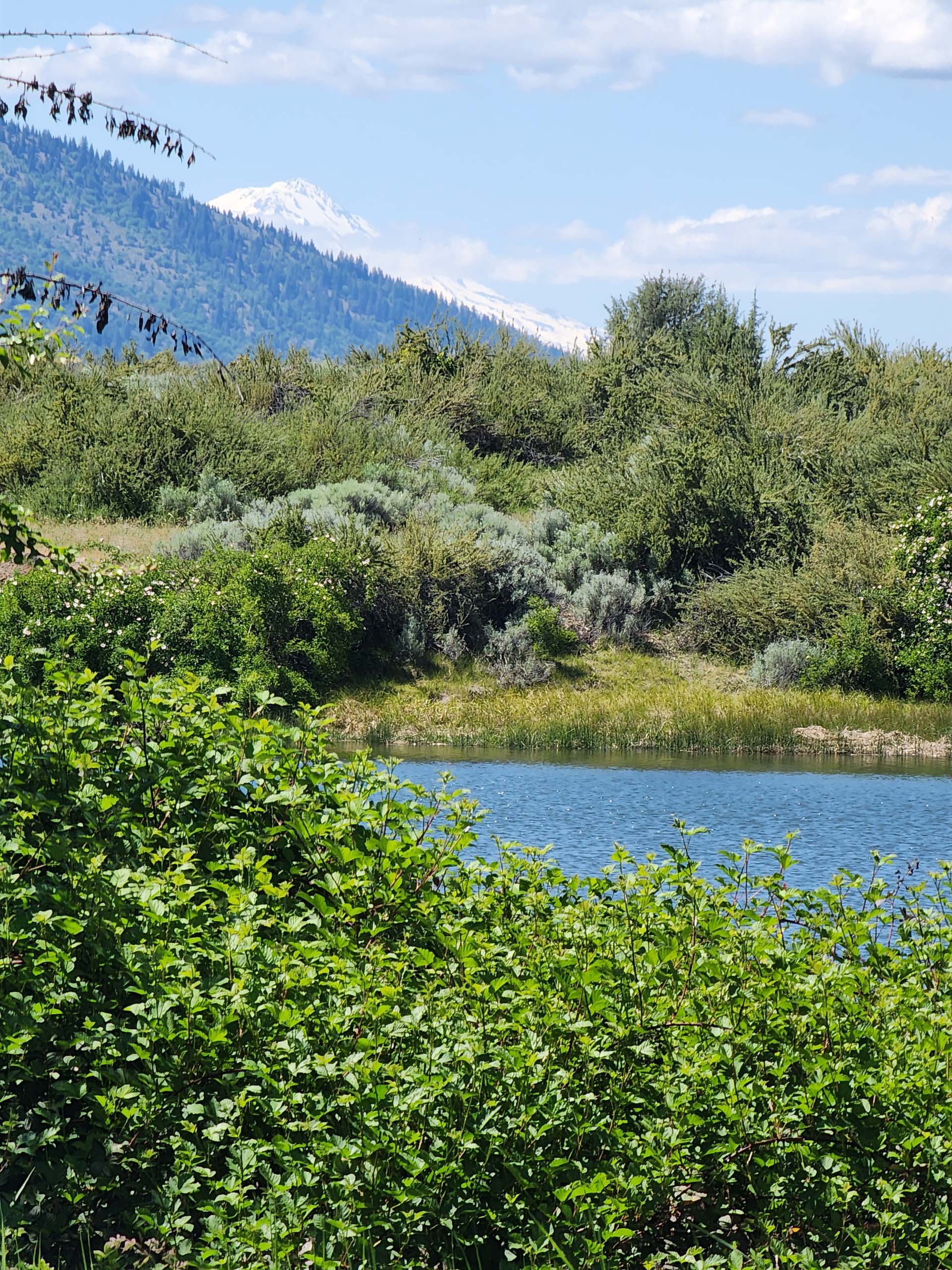
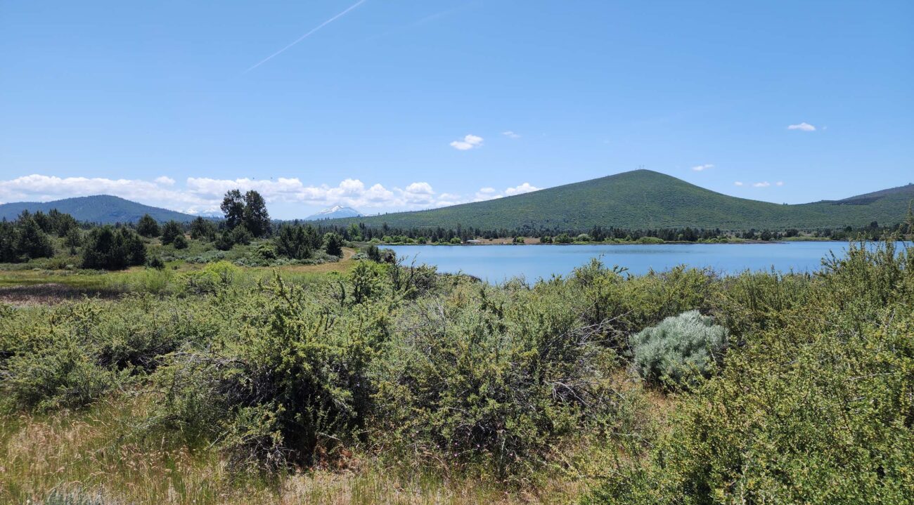
One such tribute is the Floyd Buckskin Memorial Trail, a fairly new trail created on a bench above the east bank of Fall River Lake, to the west of Fall River Mills Airport. Despite being sandwiched in between urban areas, there is enough natural landscape to allow hikers to feel removed from others’ busy-ness. And it’s a lovely landscape at the edge of the Great Basin; the trail winds through ancestral lands that are currently undergoing habitat restoration.
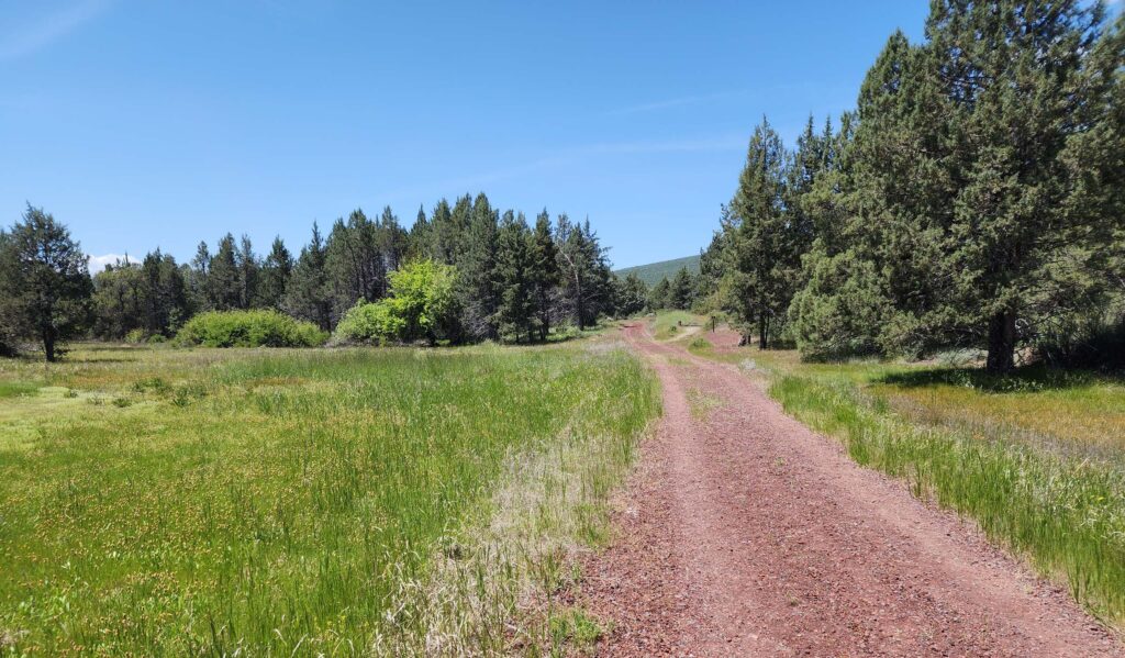
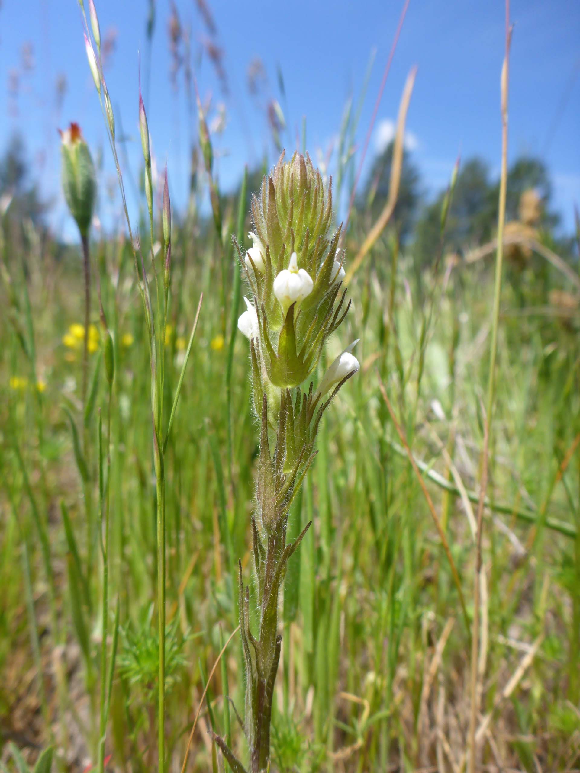
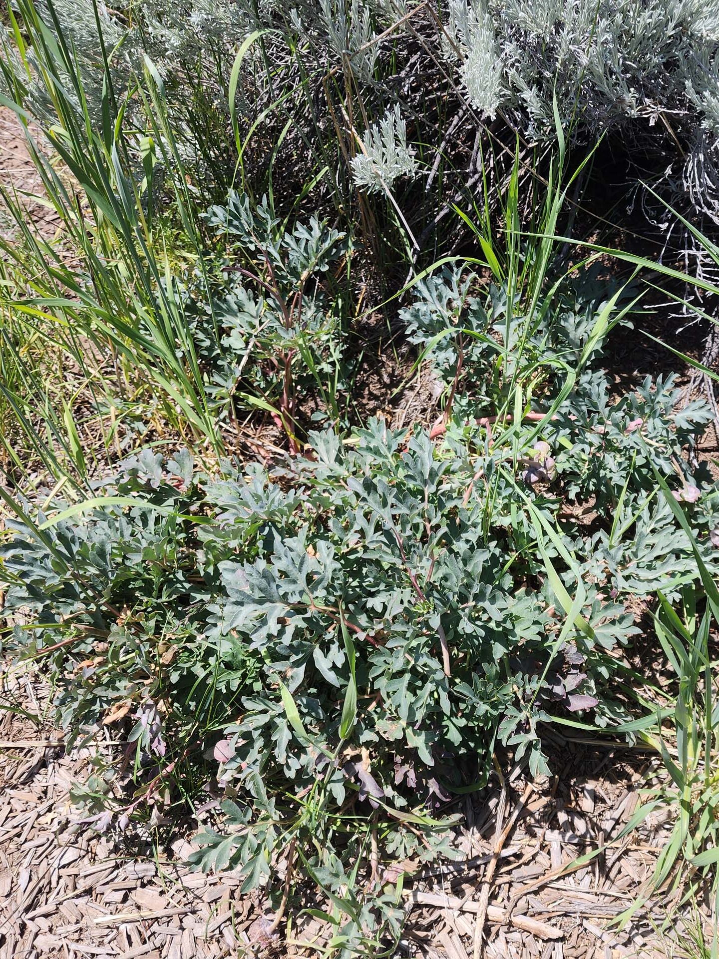
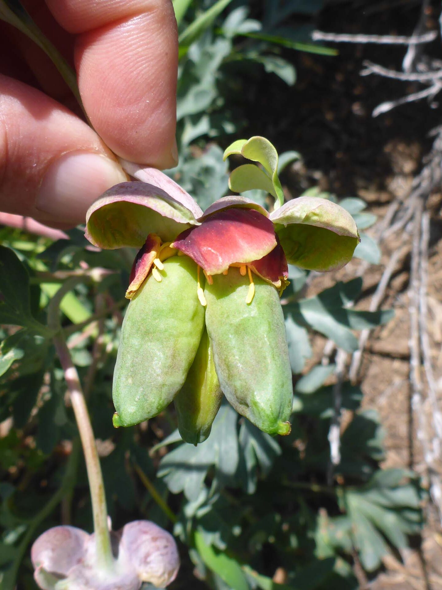
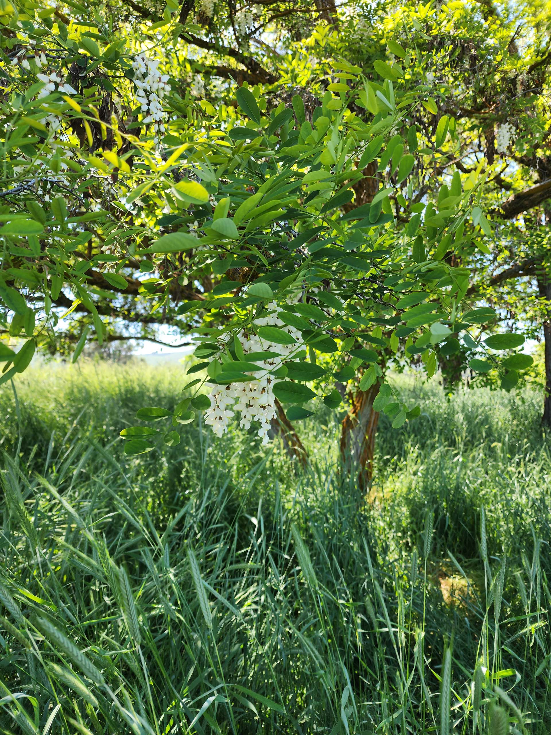
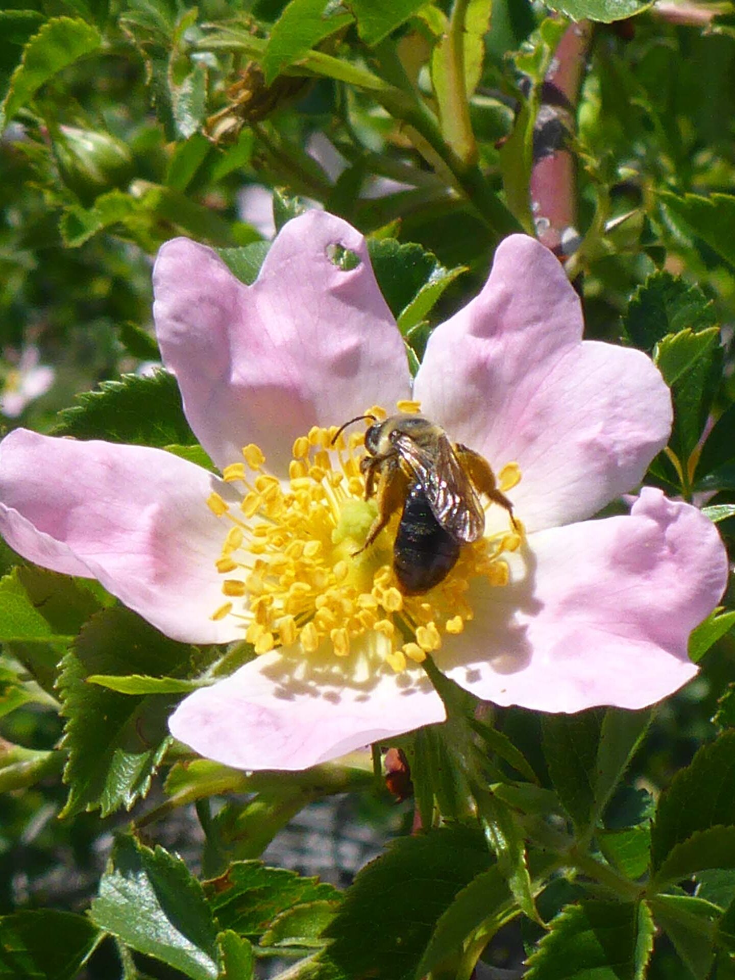
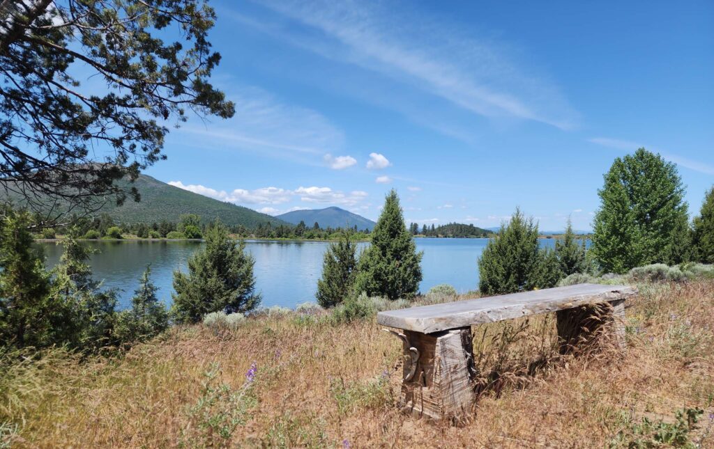
We hiked this new-to-us trail on a bright blue Sunday afternoon and were immediately smitten. It’s well maintained for its entire 1.3-miles (3.6 miles round trip), and provided loads of flowering species to ogle. Here and there we found a few nicely done interpretive signs posted, several young trees or shrubs expertly caged, and rustic benches thoughtfully placed. It’s a moderately easy, undulating trail with a few short hills and a good footbed, much of which has been chipped. For nearly the entire distance, we had gorgeous views of the lake and/or surrounding mountains.
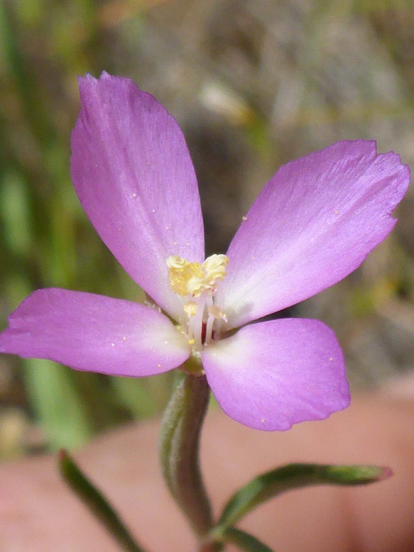
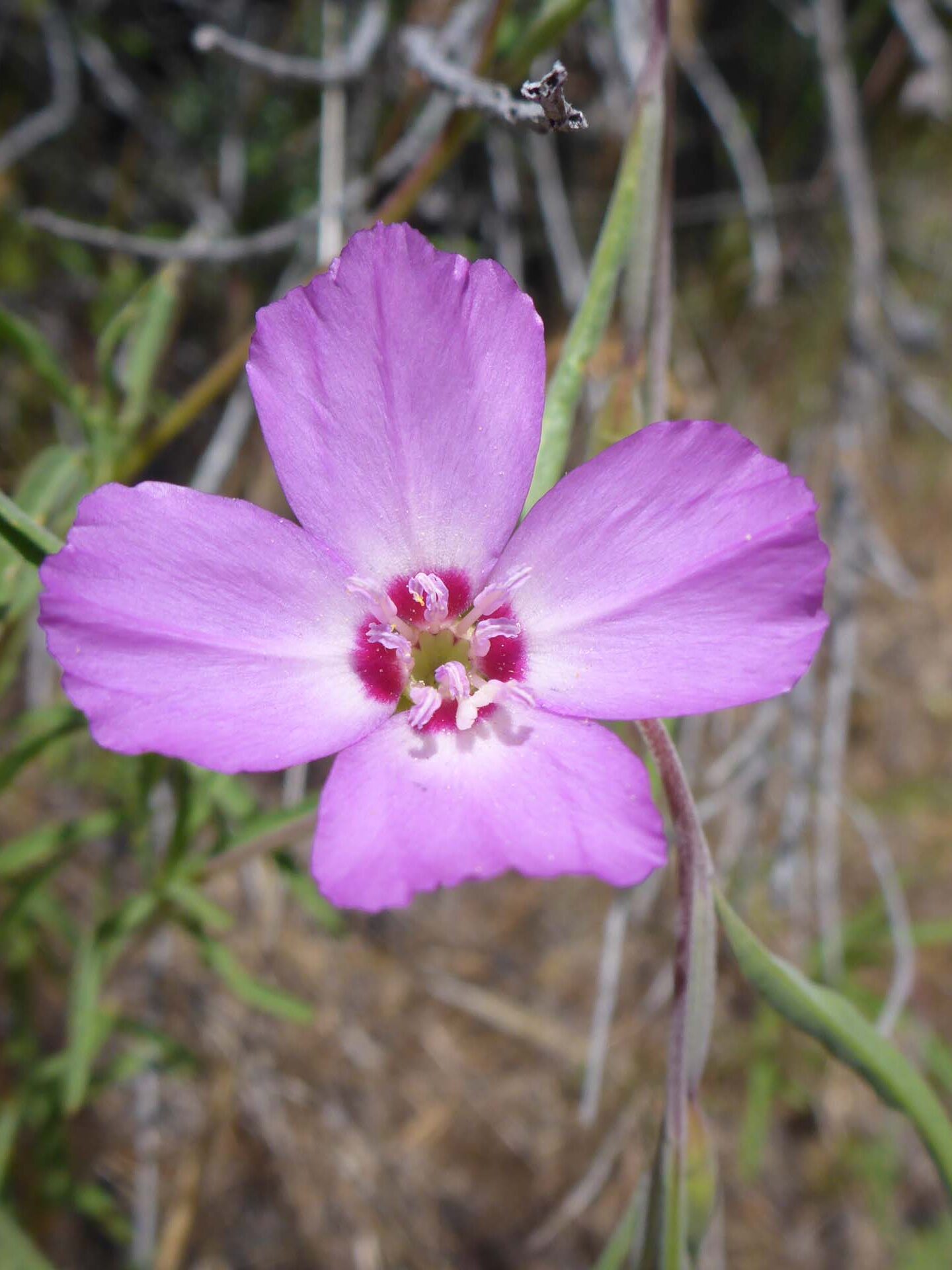
We highly recommend this lovely, little-used trail, especially in April and May if your goal is to see the wildflowers—we were just past peak bloom on May 26, but there were still many, many blooming species to see. The trailhead is right in Fall River Mills, just past Fall River Elementary School. From Highway 299, turn north onto Curve Street. Go all the way to the end of Curve Street, which obliquely crosses Third Street, and take the dirt road beyond the “End” sign just a few dozen yards to a fork. Take the boulder-lined dirt road to the west and proceed to the parking area. (These are very short distances: it is not an entire mile from Highway 299 to the trailhead.)
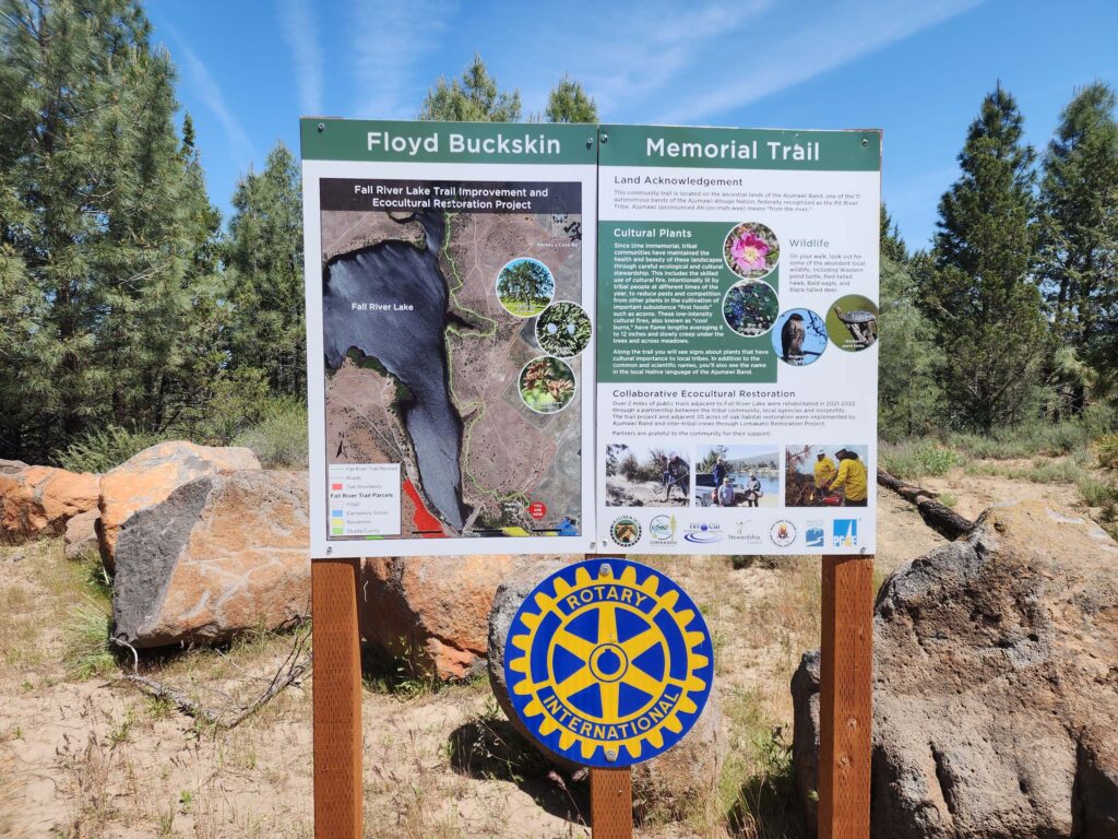
Photo taken May 26, 2024, by Don Burk.
Once at the trailhead, you’ll find the start of the trail directly behind the sign. The one thing that this trail could use is better directional signage. The area is crisscrossed with old roads and use trails, and intersections are not, for the most part, marked. Not that you might get lost out there, with the lake on one hand and the airport on the other, but you could certainly find yourself off trail. We did. So we made a mental note for next time: if not sure which fork to take, choose the one that veers toward the lake, shows signs of having been chipped, and/or shows no signs of being blocked (branches, fence posts, rocks, etc., in the path).
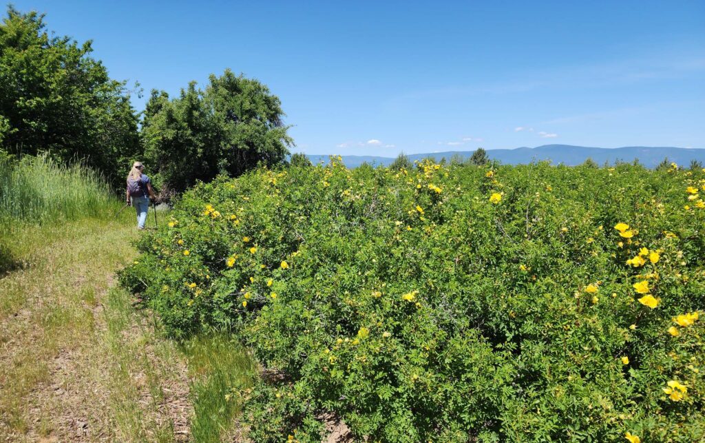
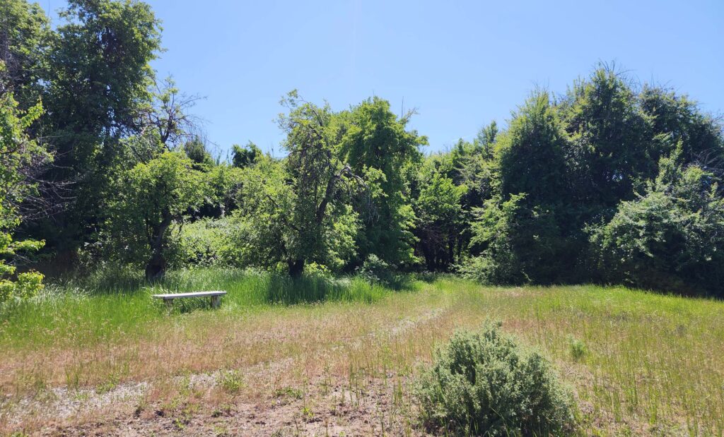
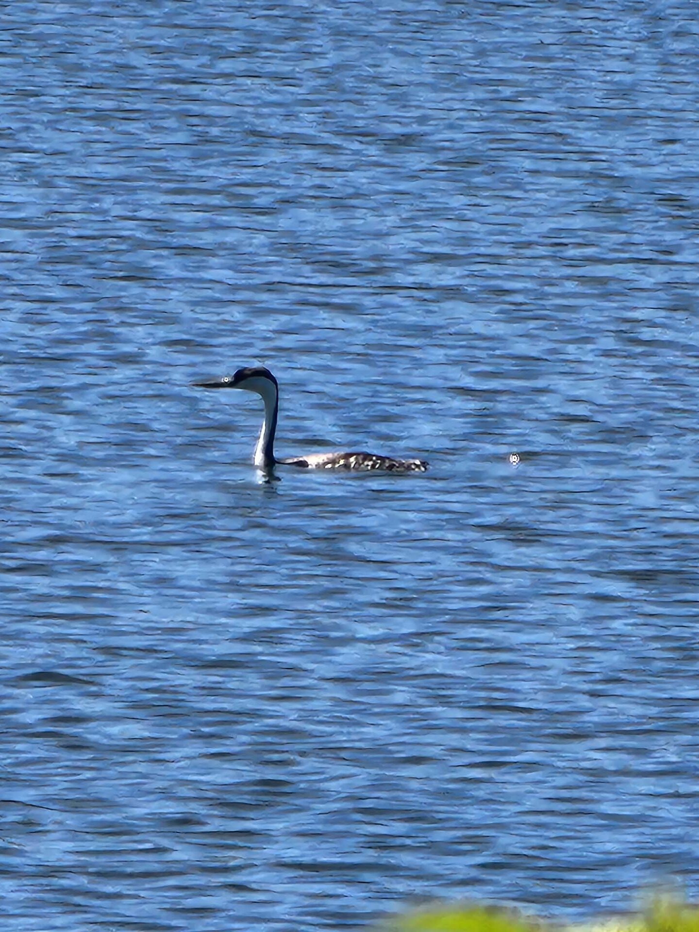
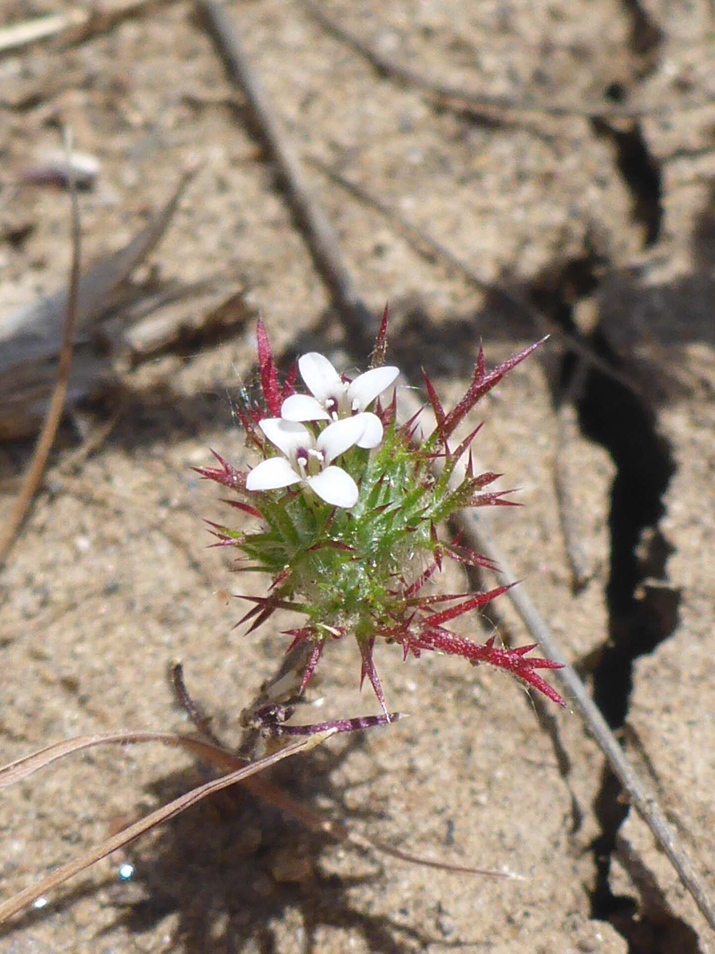
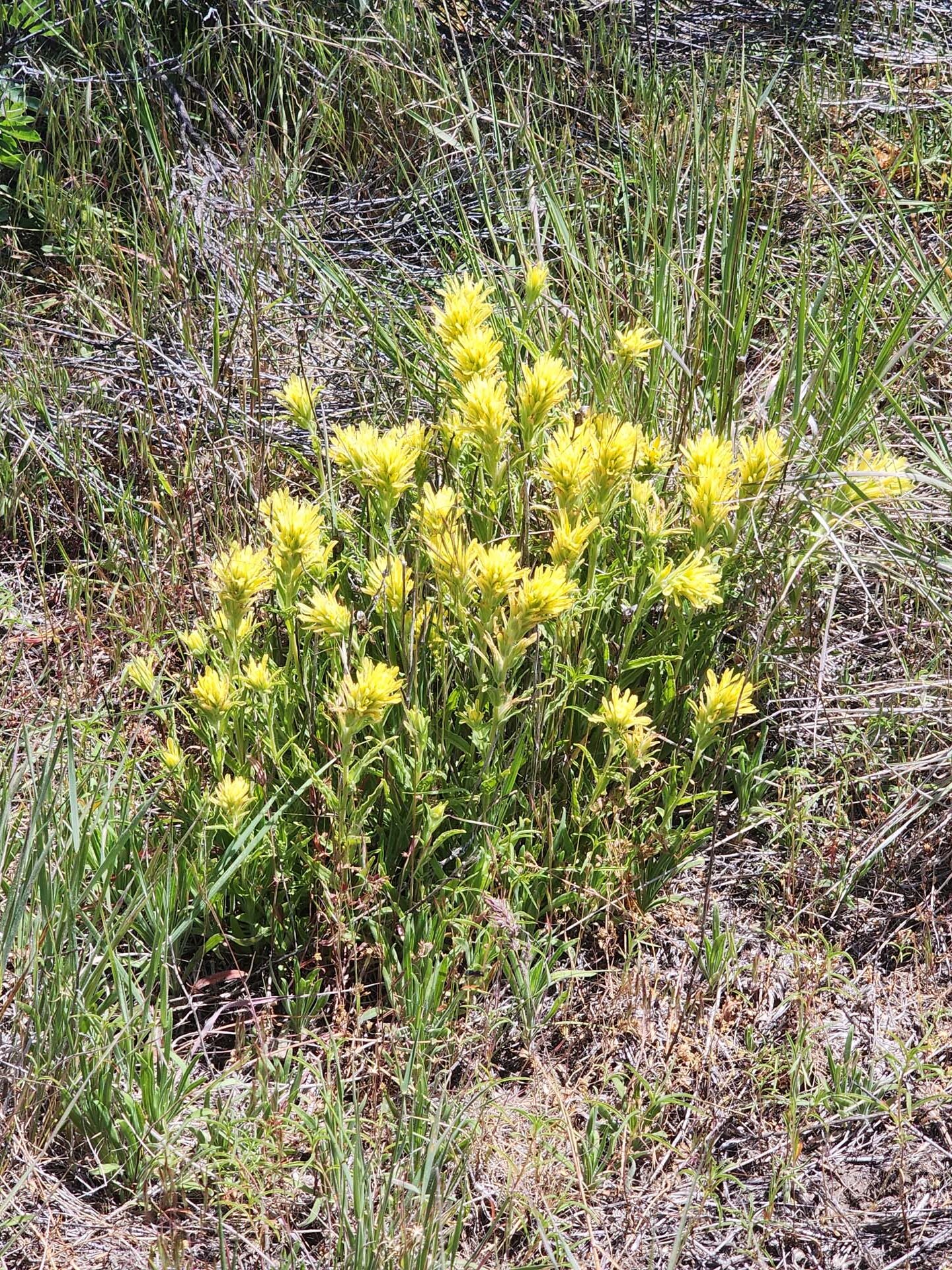
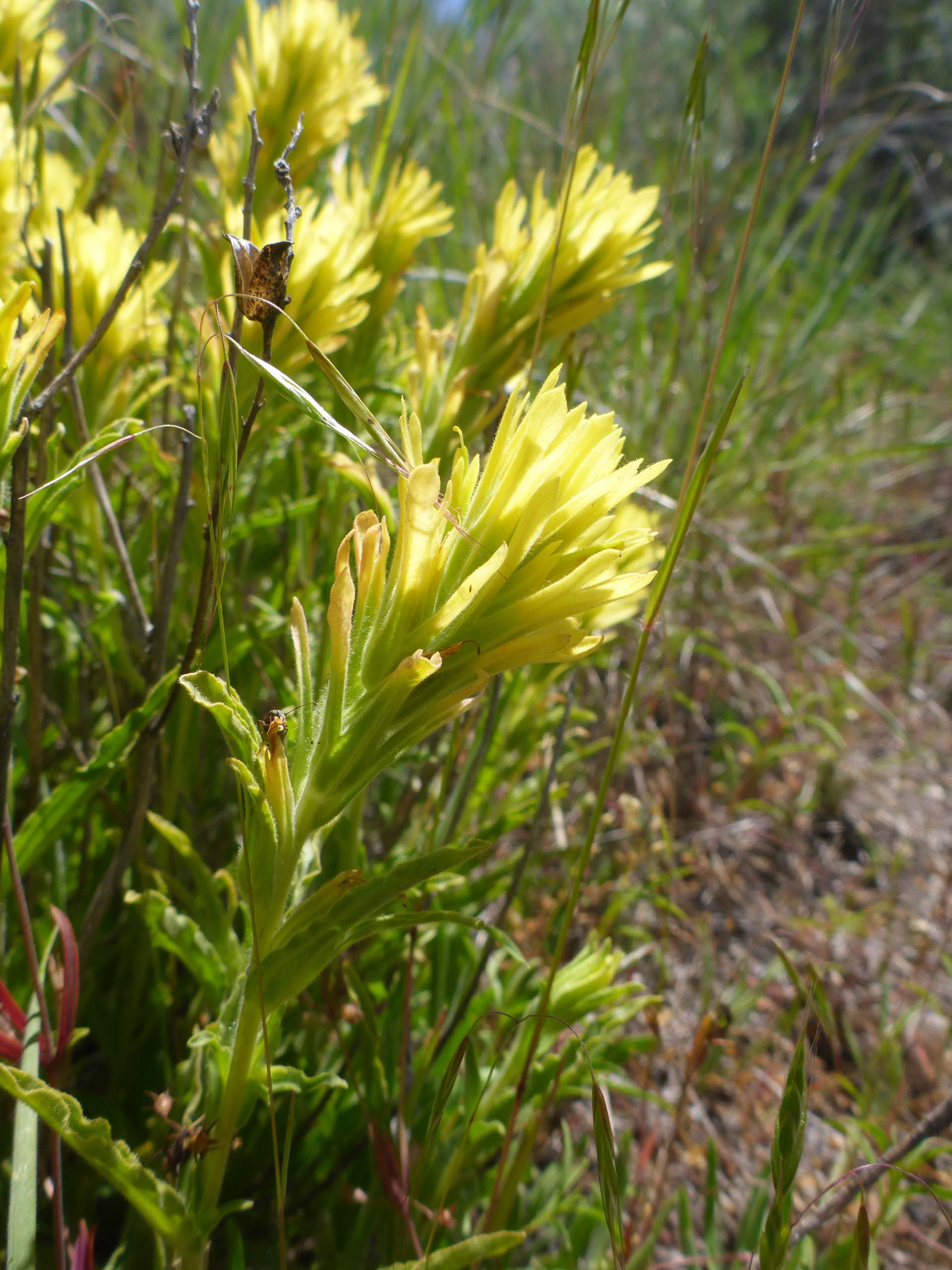
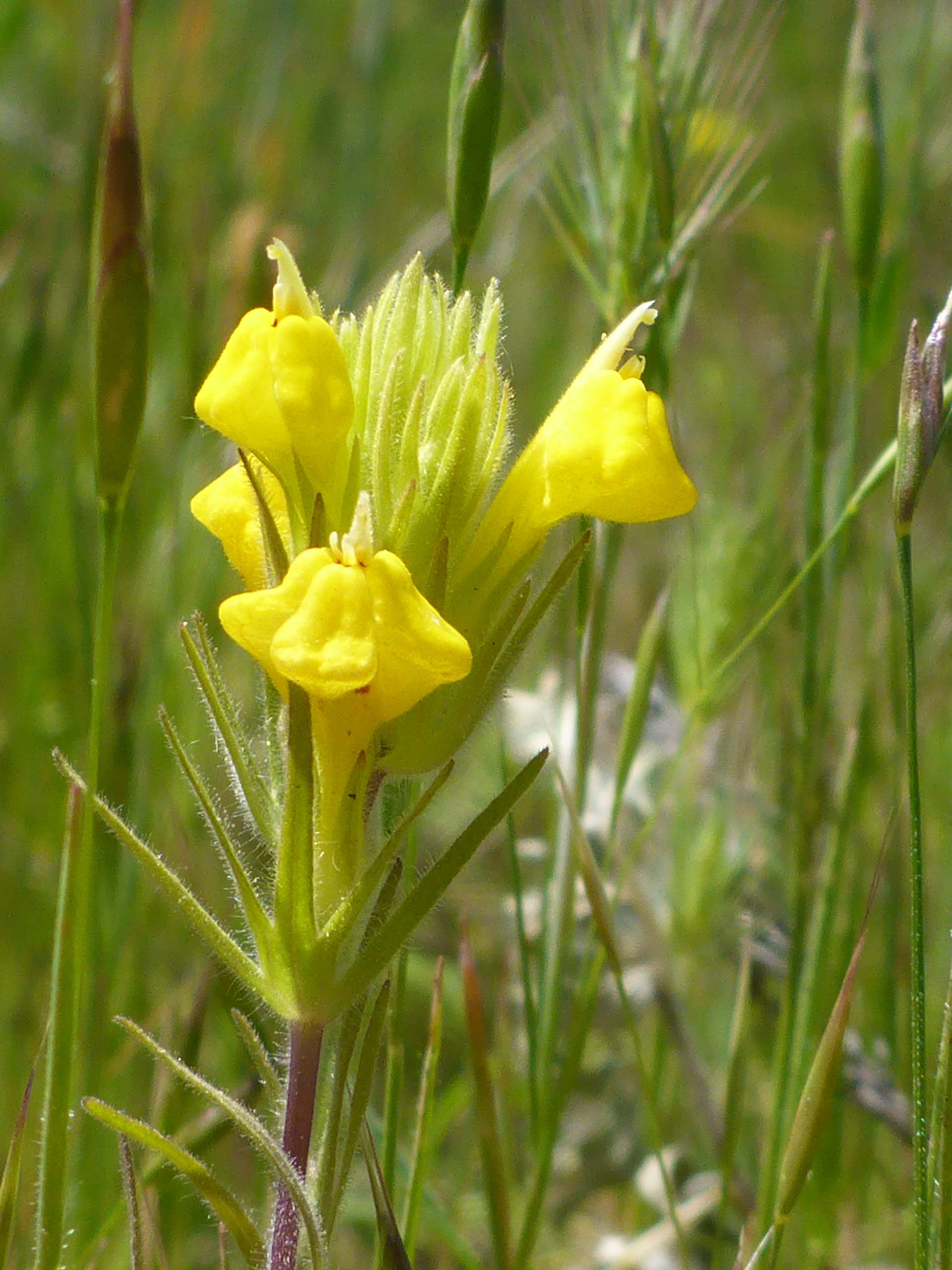
But even if you find yourself off trail, you’ll still very much enjoy it. Here is a short slideshow of the area to inspire you to take a look for yourself. All photos by Don Burk. Enjoy! ~Laurie & Don Burk

