Hawes Ranch Amusement Park Update
A change in zoning for a proposed amusement park on Hawes Ranch land could not be approved due to a lack of a quorum. Three Shasta County Supervisors recused themselves from voting, so now the issue will be in limbo until there is a change of supervisors. The proposal, if passed, would have changed the zoning on 137 acres, between Dersch Road and the Sacramento River, to Commercial Recreation. This area includes river floodplain, oak woodland, and the riparian habitat area along the Sacramento River. The Planning Department prepared a Negative Declaration for the proposed project, without doing a biological survey despite the fact that there are four protected runs of salmon and steelhead trout in the river, and several bald eagle nests in the area.
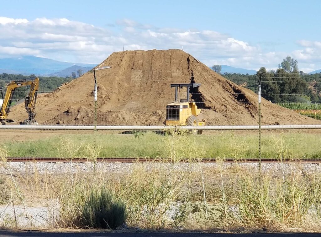
Hawes Ranch is currently operating in violation of numerous conditions of its use permit and current zoning. Neighbors opposed to the project recently discovered a wedding venue on the banks of the Sacramento River at the mouth of Cow Creek, and grading violations in the river floodplain. A notice of violation was issued by the County and the wedding venue canopies and tents were removed; investigation into the unpermitted grading in the floodplain is ongoing. Approval of the proposed project would have authorized all past zoning violations by changing the zoning to Commercial Recreation.

Highland Plains Shooting Range Update
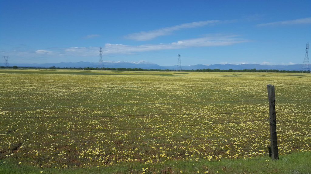
A large commercial gun range in eastern Millville Plains, in an area abutting Bear Creek on its east side, full of wetlands and vernal pools, was recently approved by the Shasta County Board of Supervisors. It is located on 150 acres just north of Dersch Road and east of Parkville Road. This will be one of the larger shooting ranges in the United States, holding shooting events of up to 500 people, with overnight RV and travel trailer camping. It will have a pistol range, shotgun range for skeet shooting, and a high-powered rifle range.
Almost all local residents and landowners spoke against this project. The botanical section of the project’s Biological Survey appeared to be done to avoid noting many protected and sensitive species that normally grow in vernal pool areas. Plant surveys were taken on January 21 and February 18, a time far outside of the blooming period of most protected plants. After this first attempt, Planning staff required additional visits, which were conducted on May 26, after 29 days without rain and following several days of 100-degree temperatures. The bird survey was done on only one day for a six-hour period. This is an area not far from nesting sites of bald eagles and other raptors. It appears that there was a desire to not find any protected species.

Jenny Creek Trail
Redding Community Services is currently developing plans for a trail through a blue oak woodland on City-owned Open Space that will connect with a short trail leading to the Sacramento River Trail. Final plans for the trail have not been released and Parks and Recreation Department has been fairly vague as to its exact location. The trail will be 12 feet wide, paved, and possibly be lighted. A number of neighbors are concerned about the lights, noise, loss of habitat, and safety. It appears that a number of blue oaks will have to be removed to accommodate trail construction. The Shasta Chapter CNPS and Shasta Environmental Alliance will be leading a field trip through the Open Space along Jenny Creek on November 8. See Jenny Creek Field Trip for details.
For more conservation news, please see Shasta Environmental Alliance’s November 2023 newsletter. ~David Ledger, Conservation Chair
